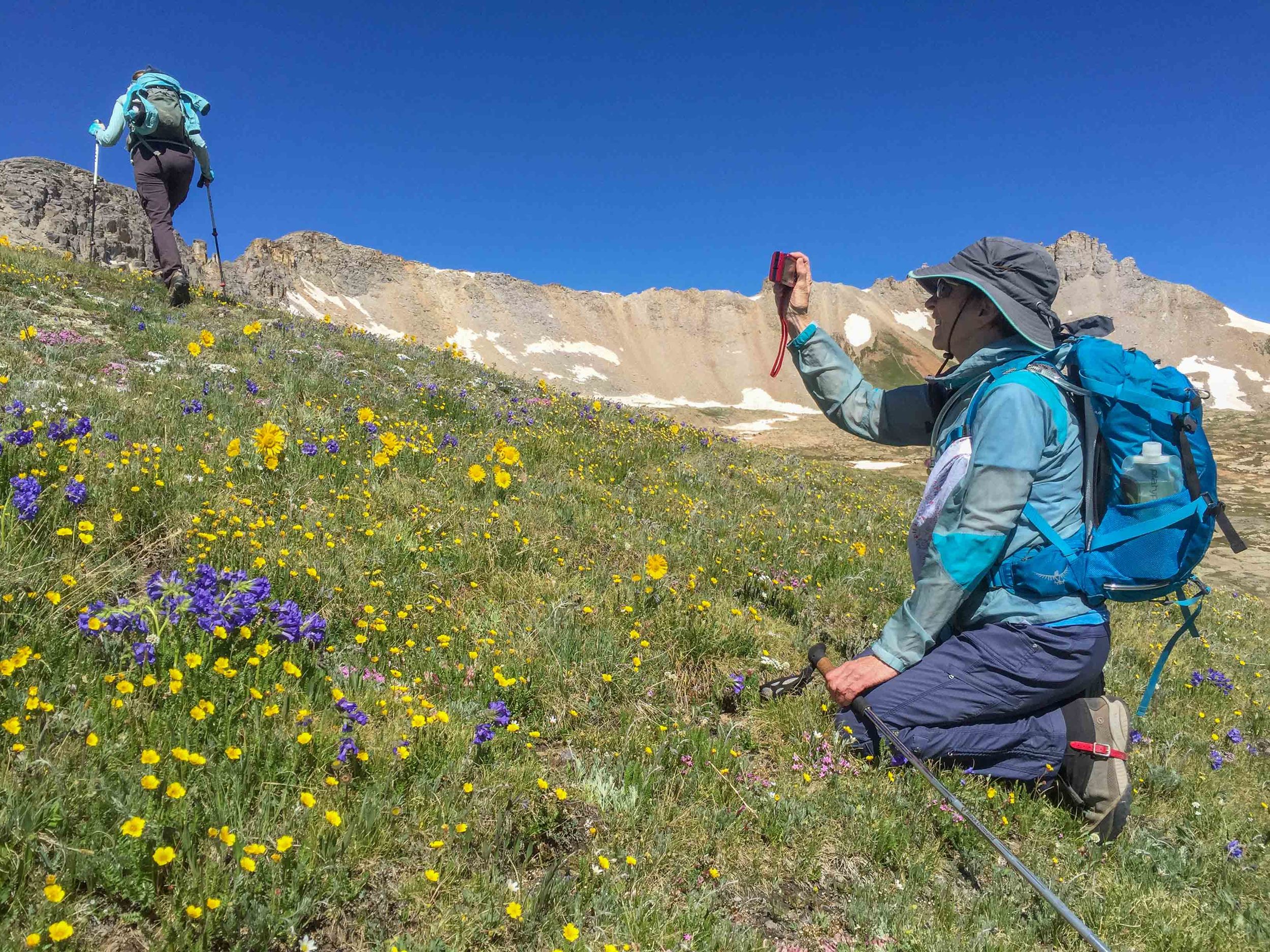
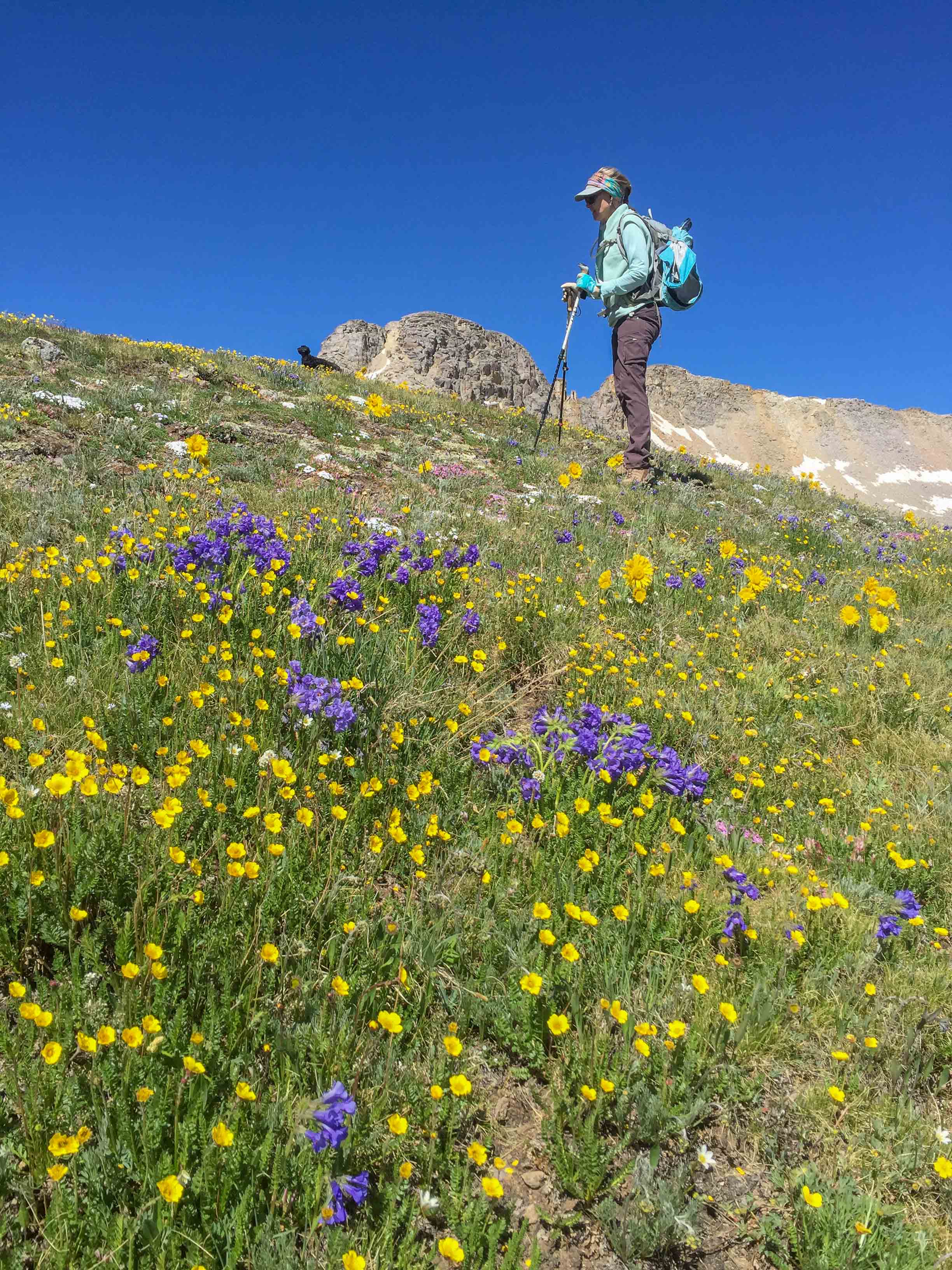
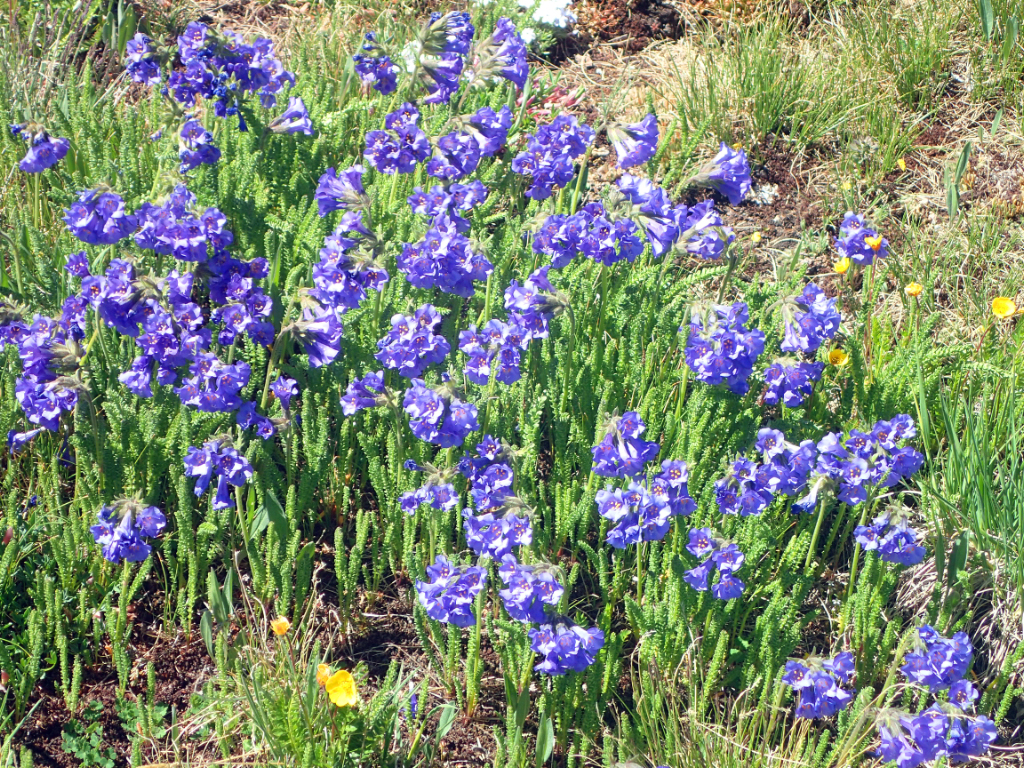
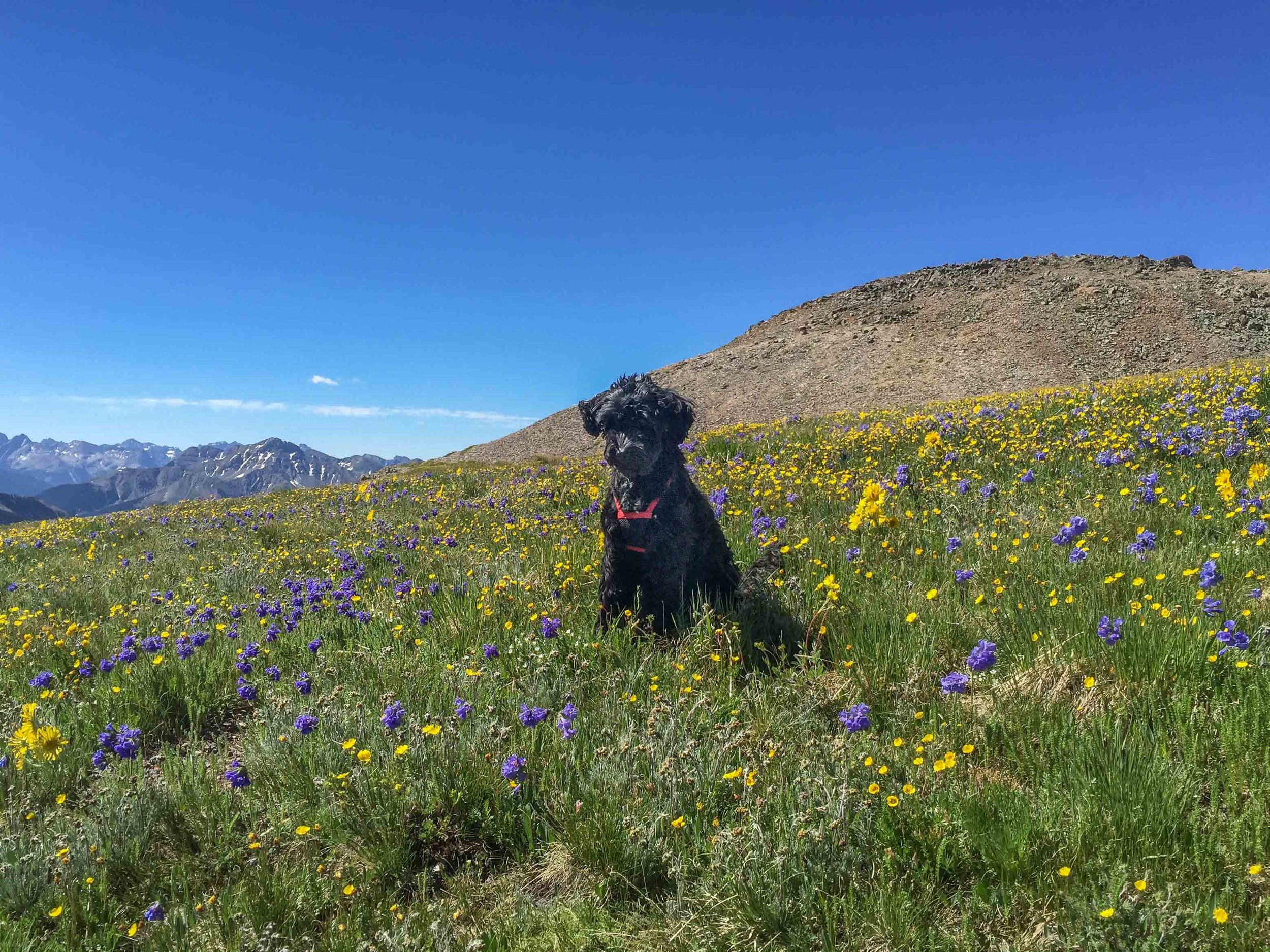
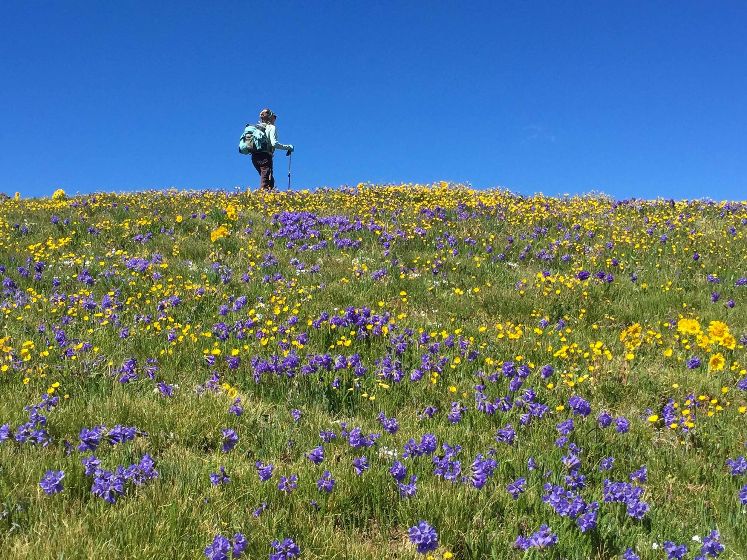
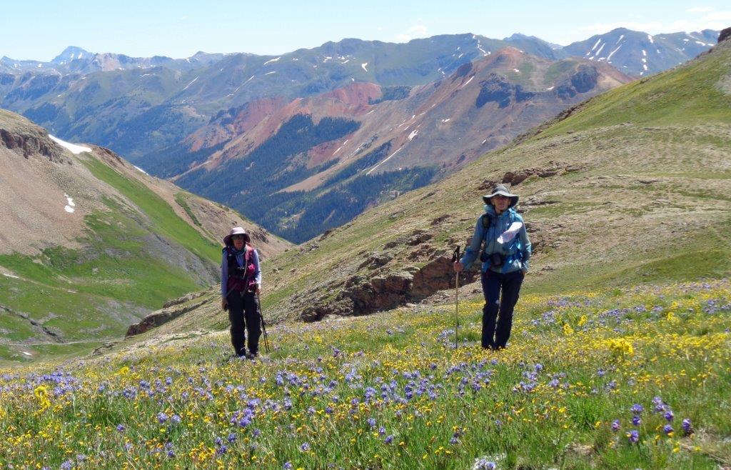
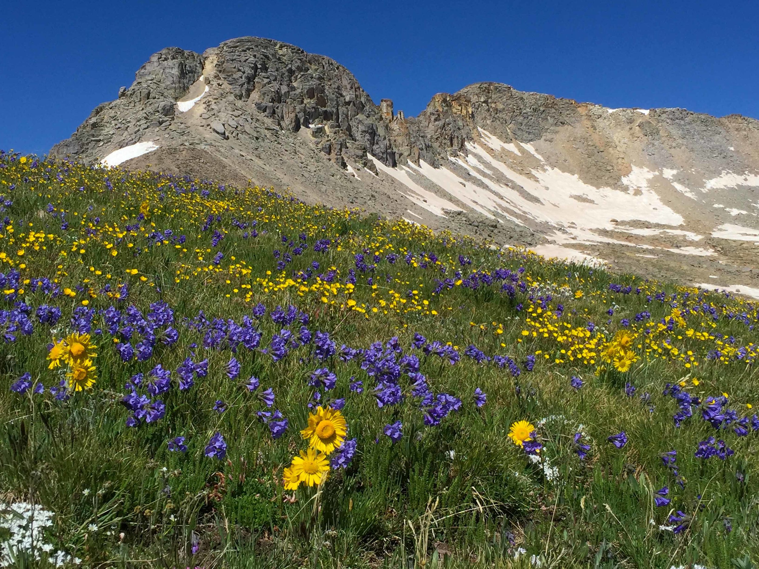
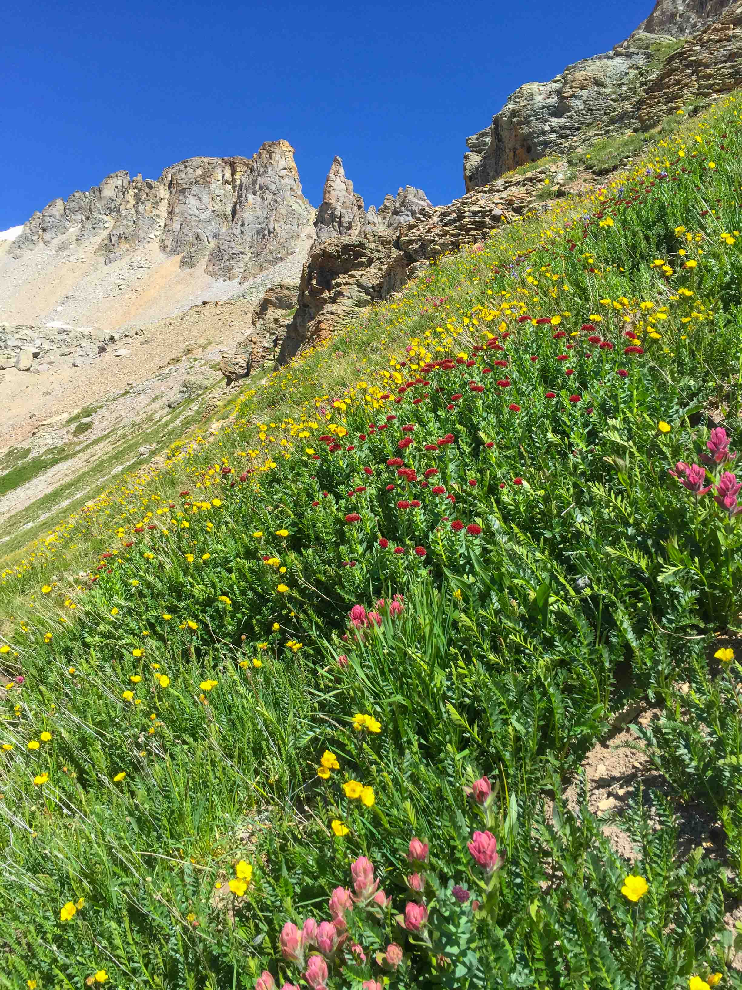
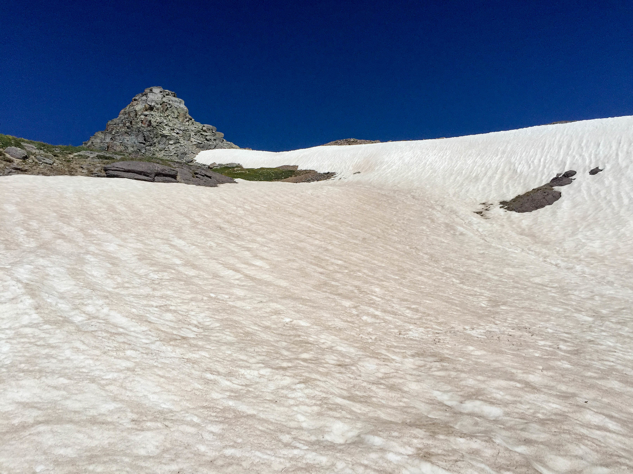
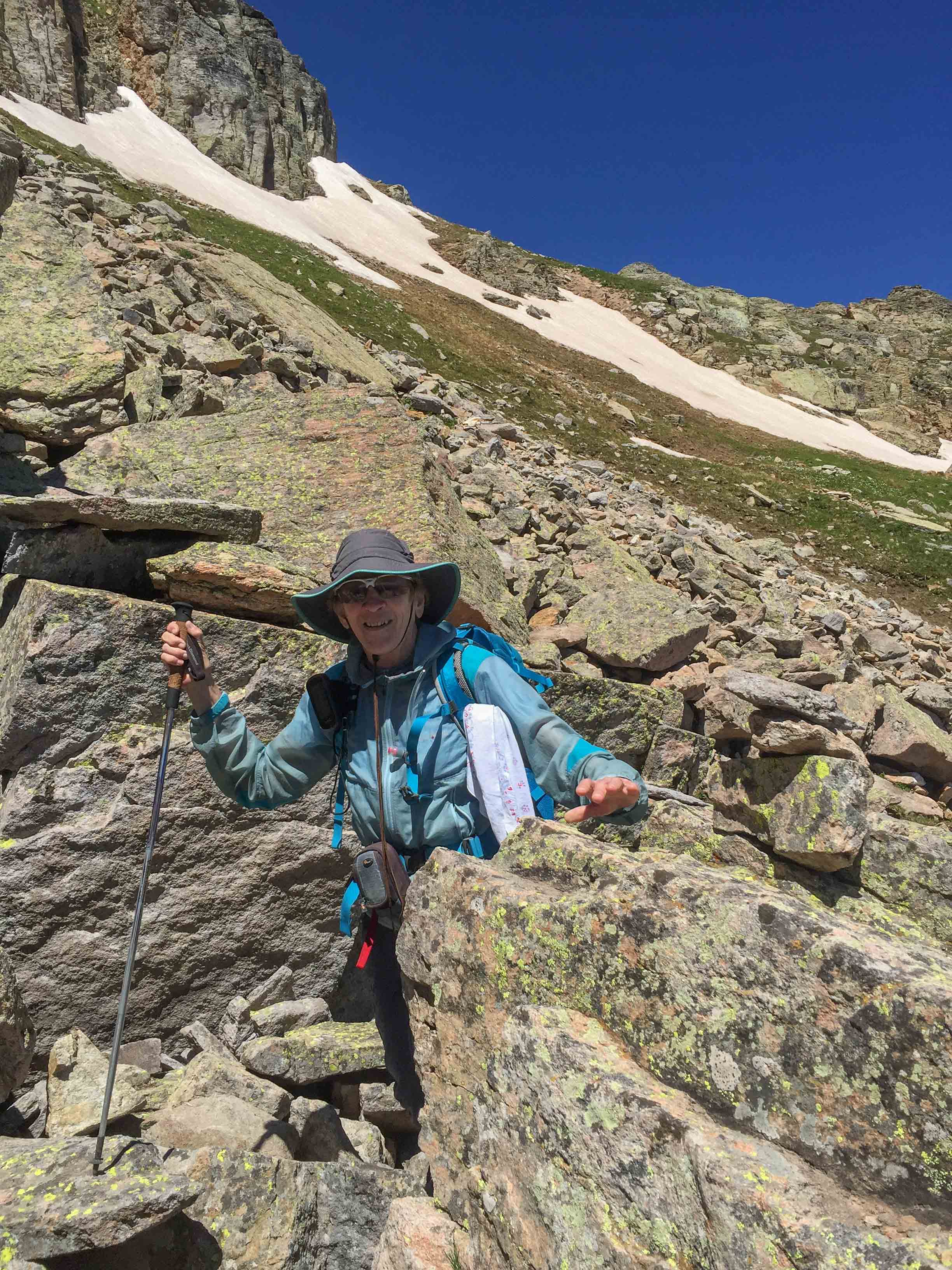
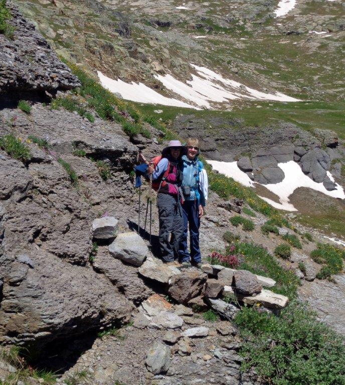
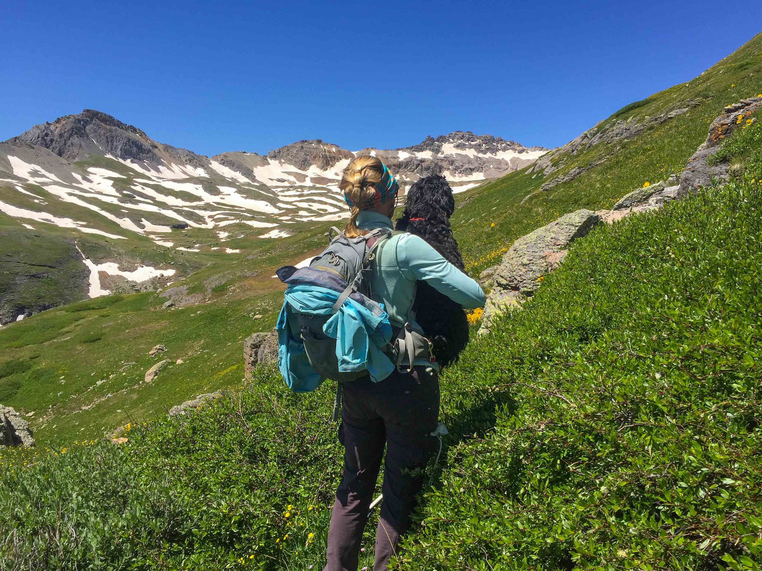
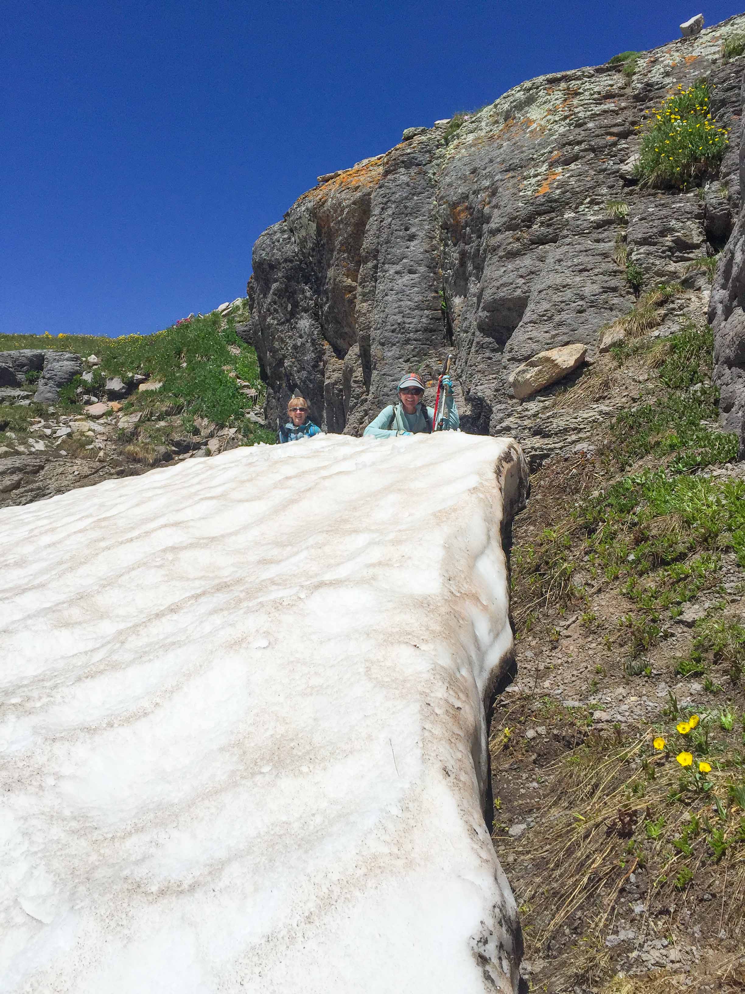
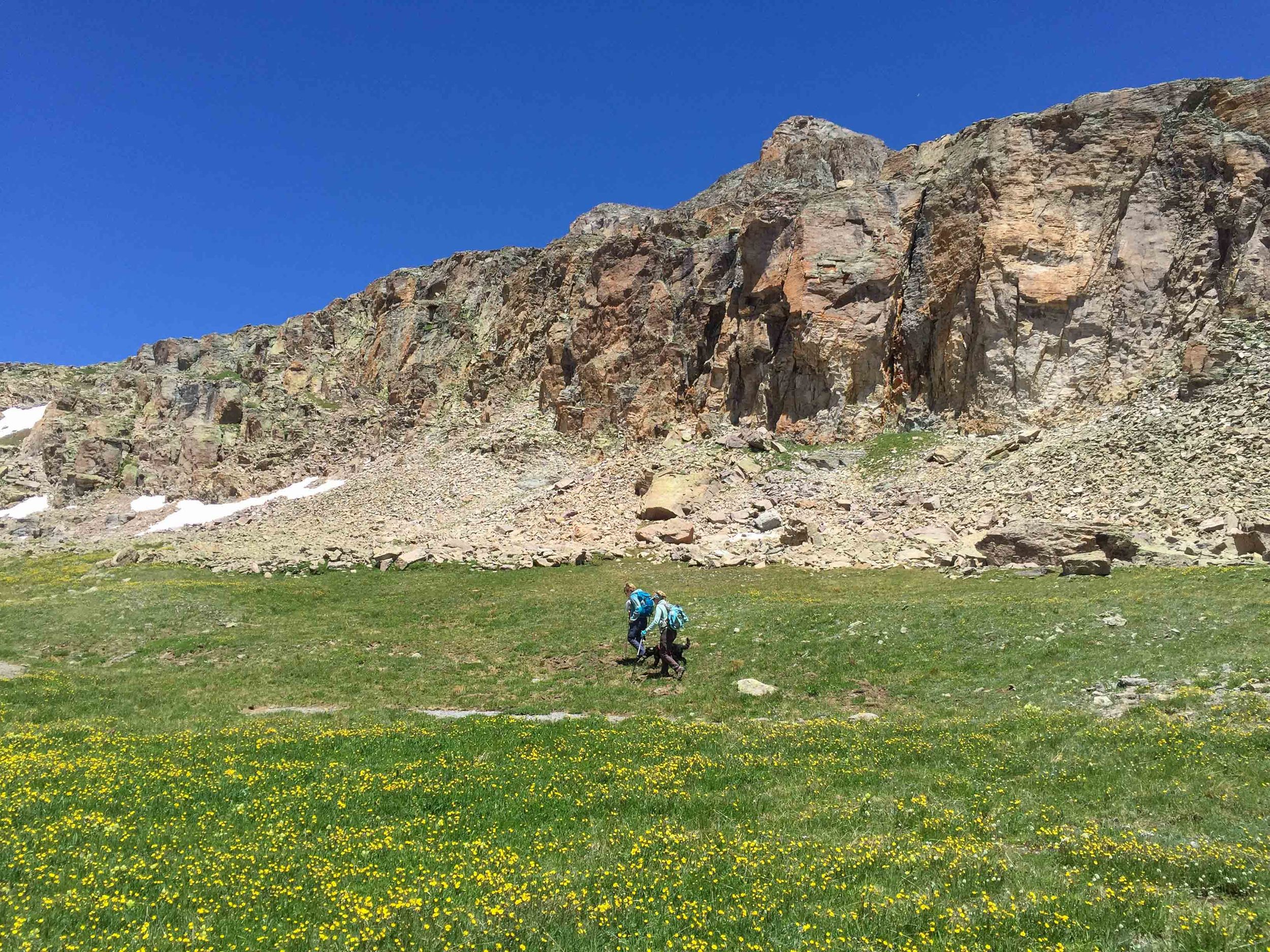
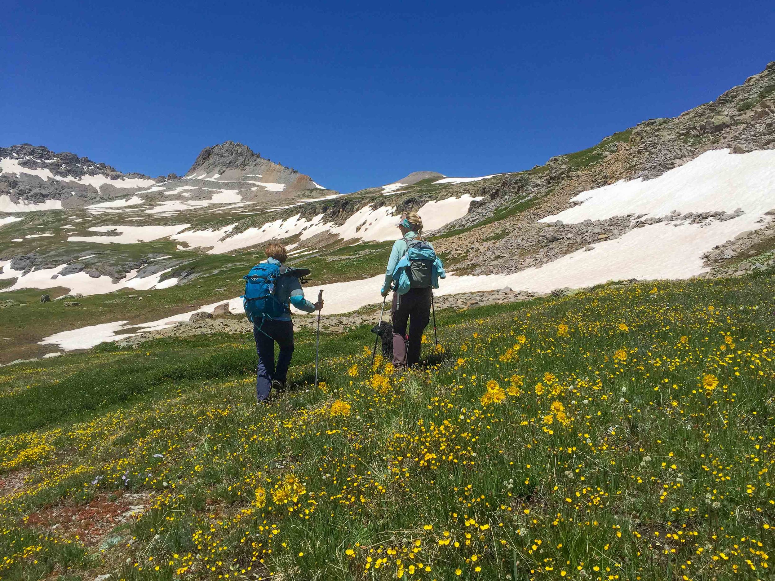
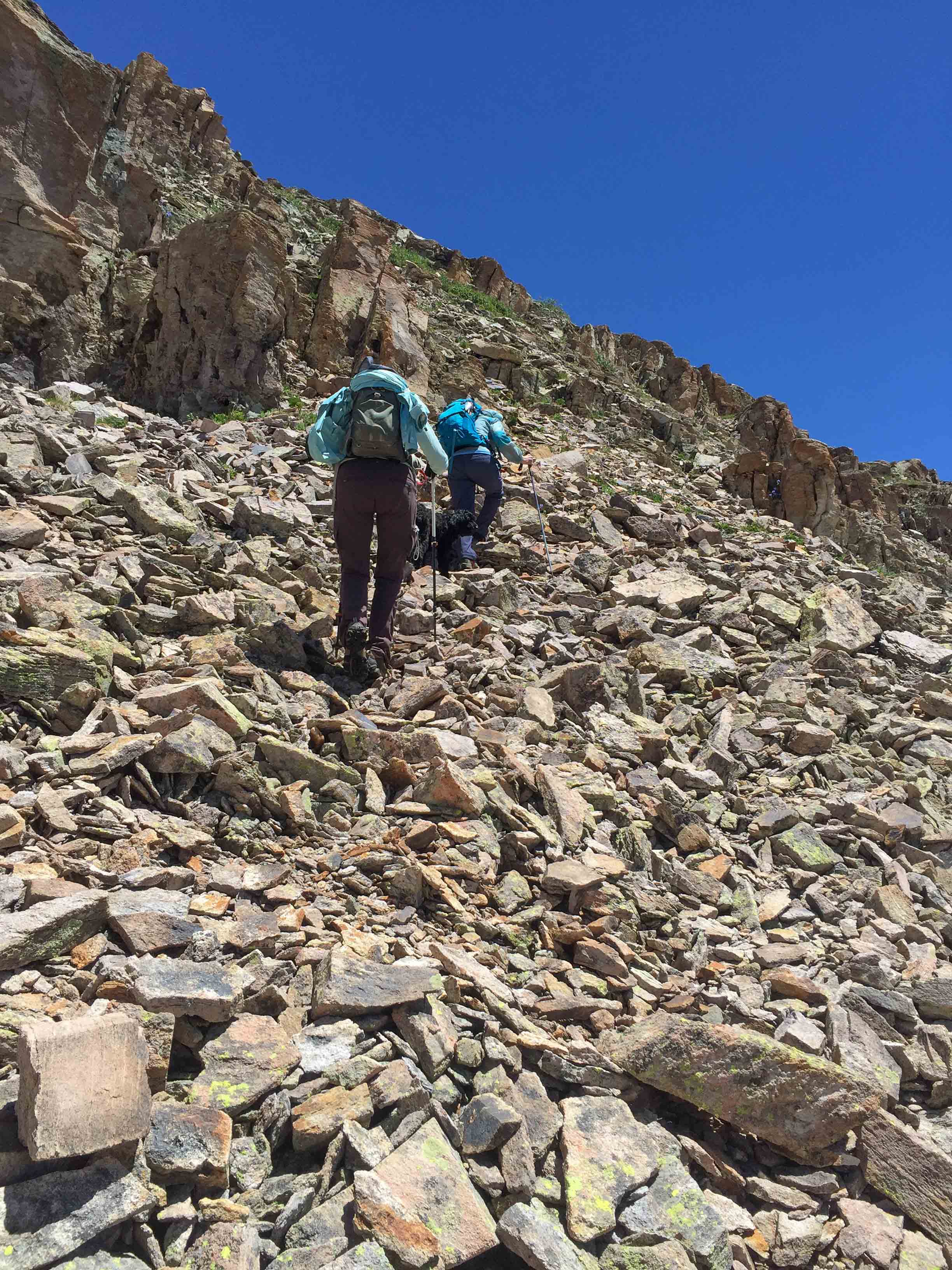
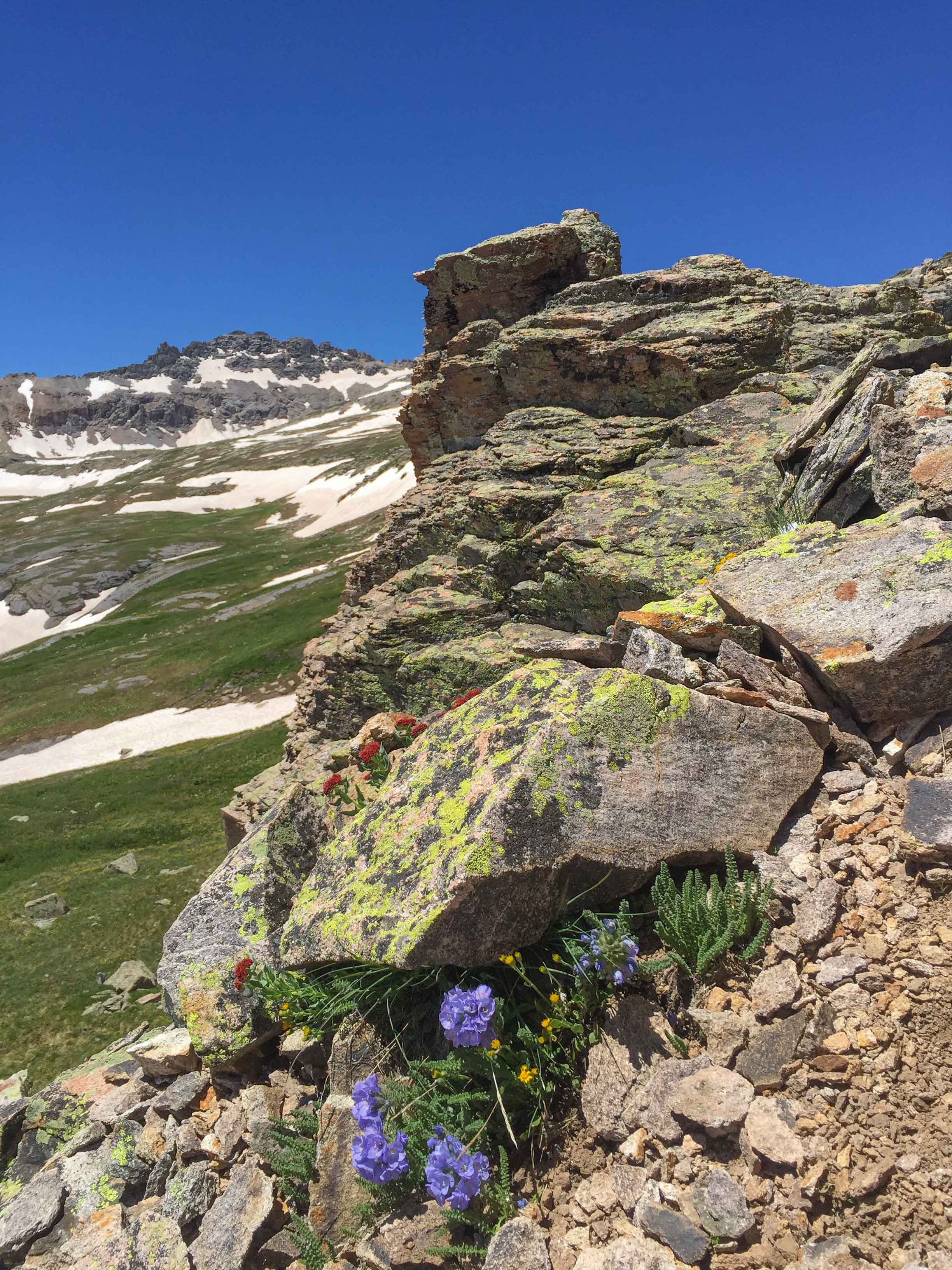
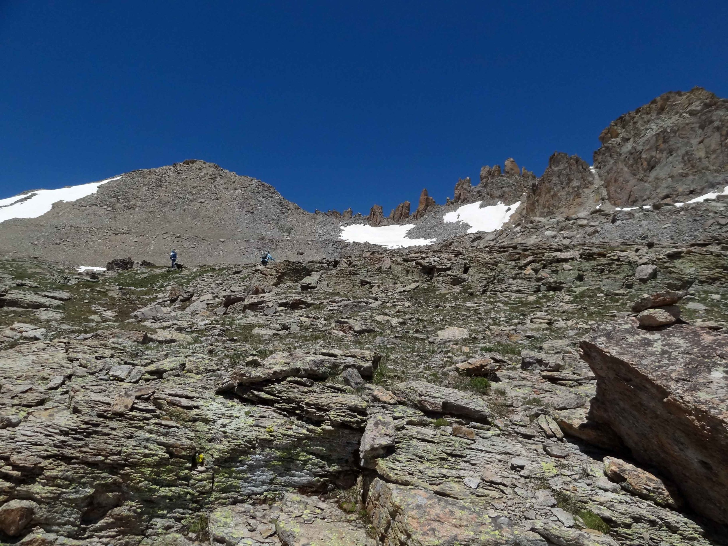
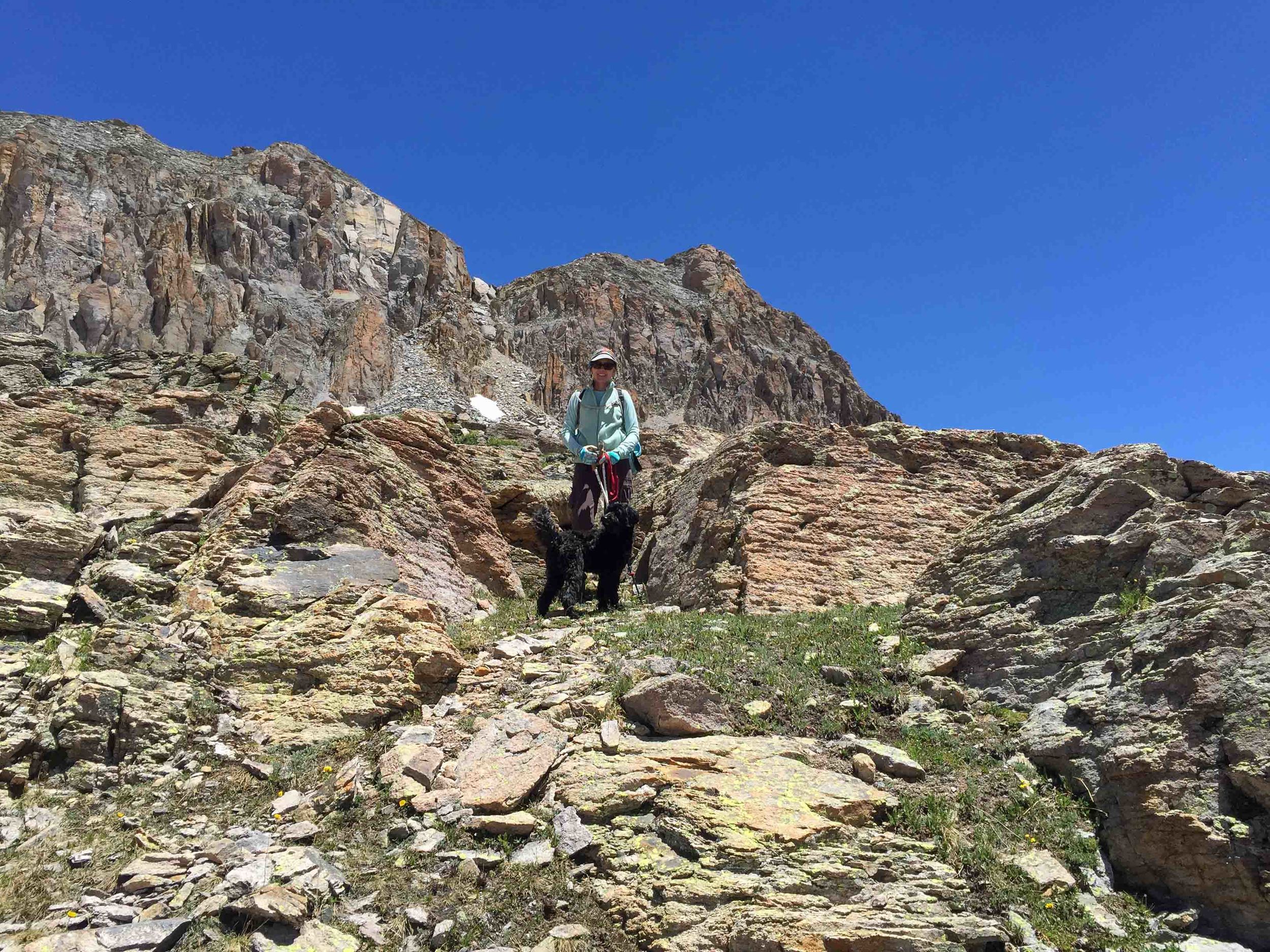
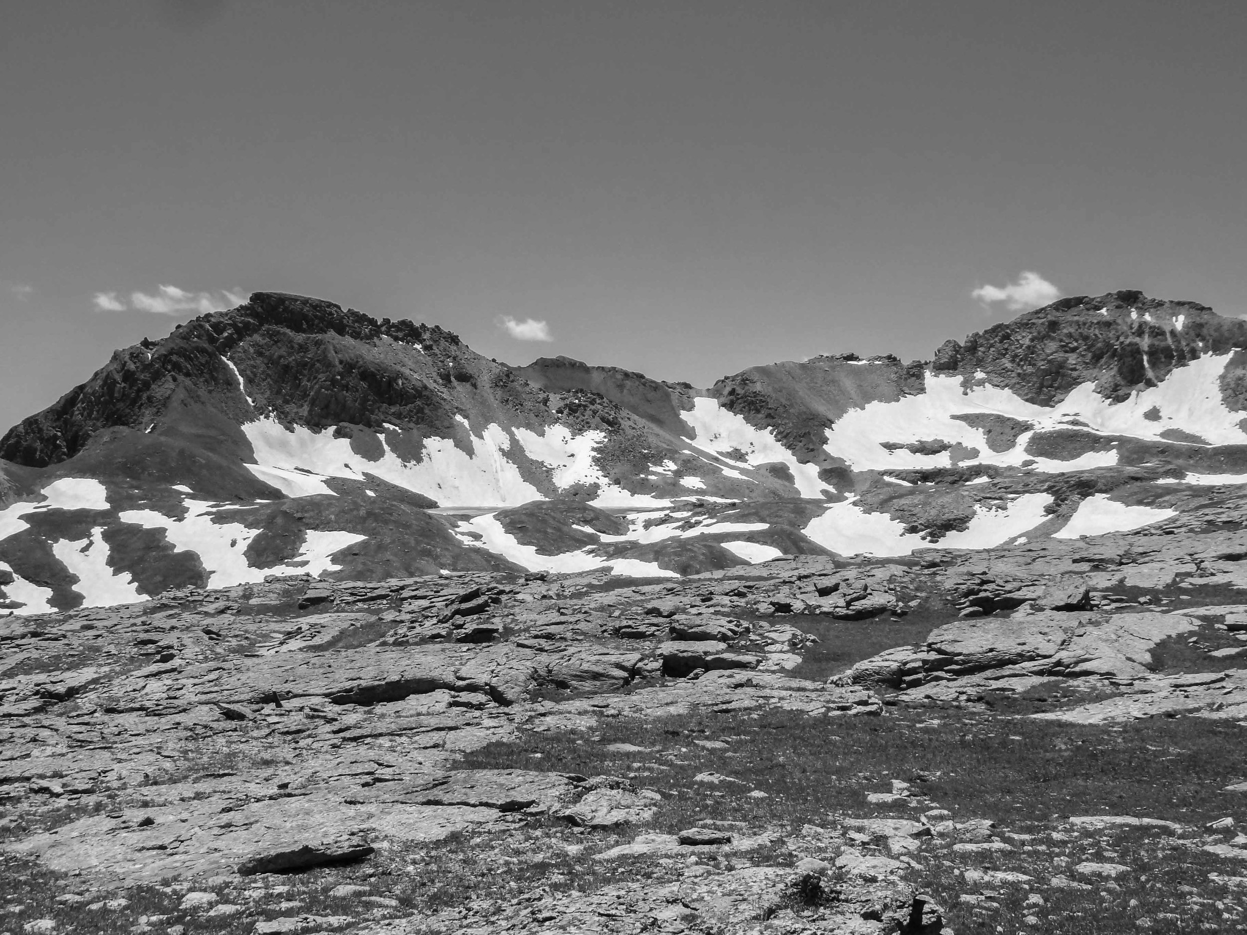
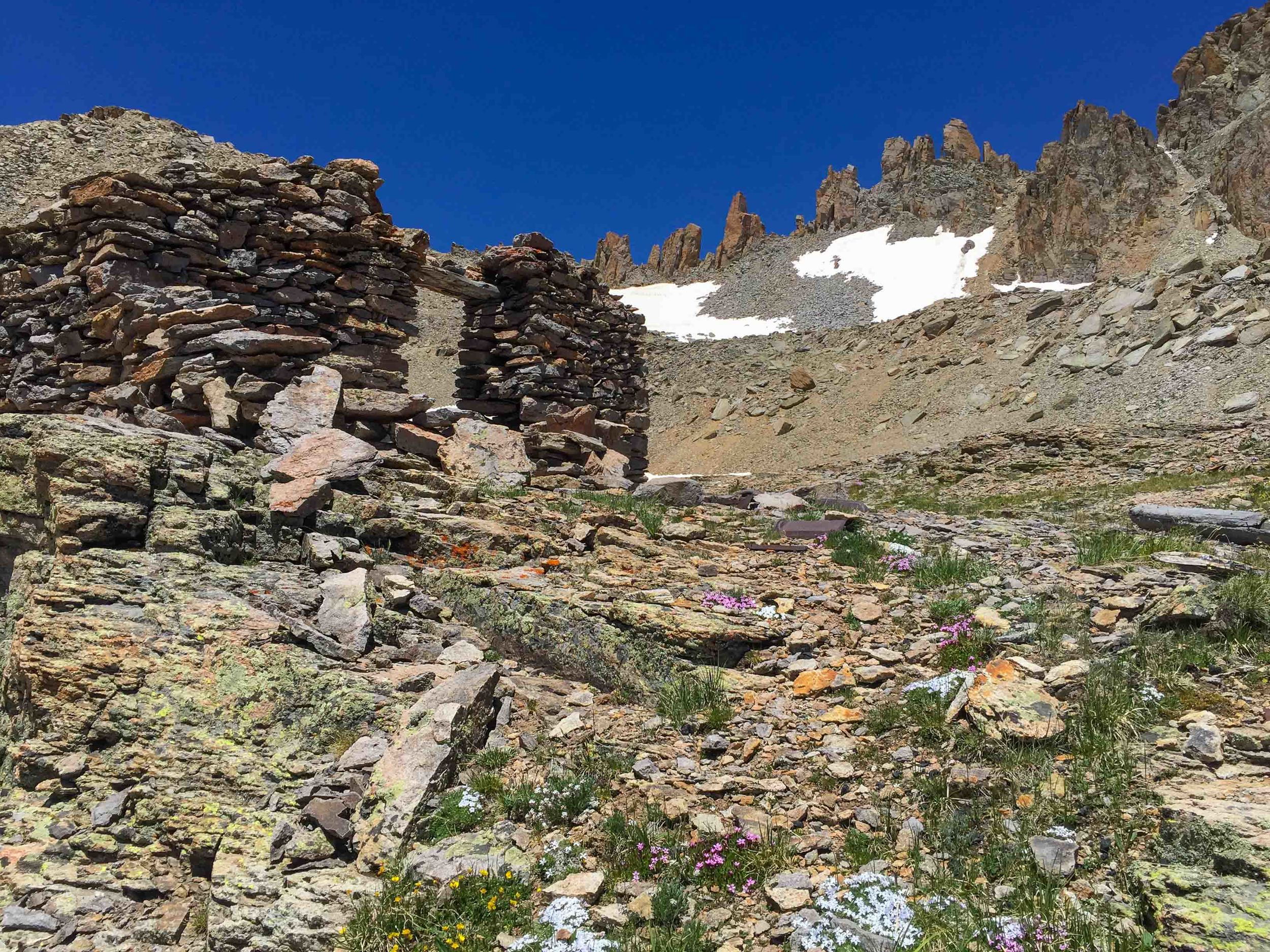
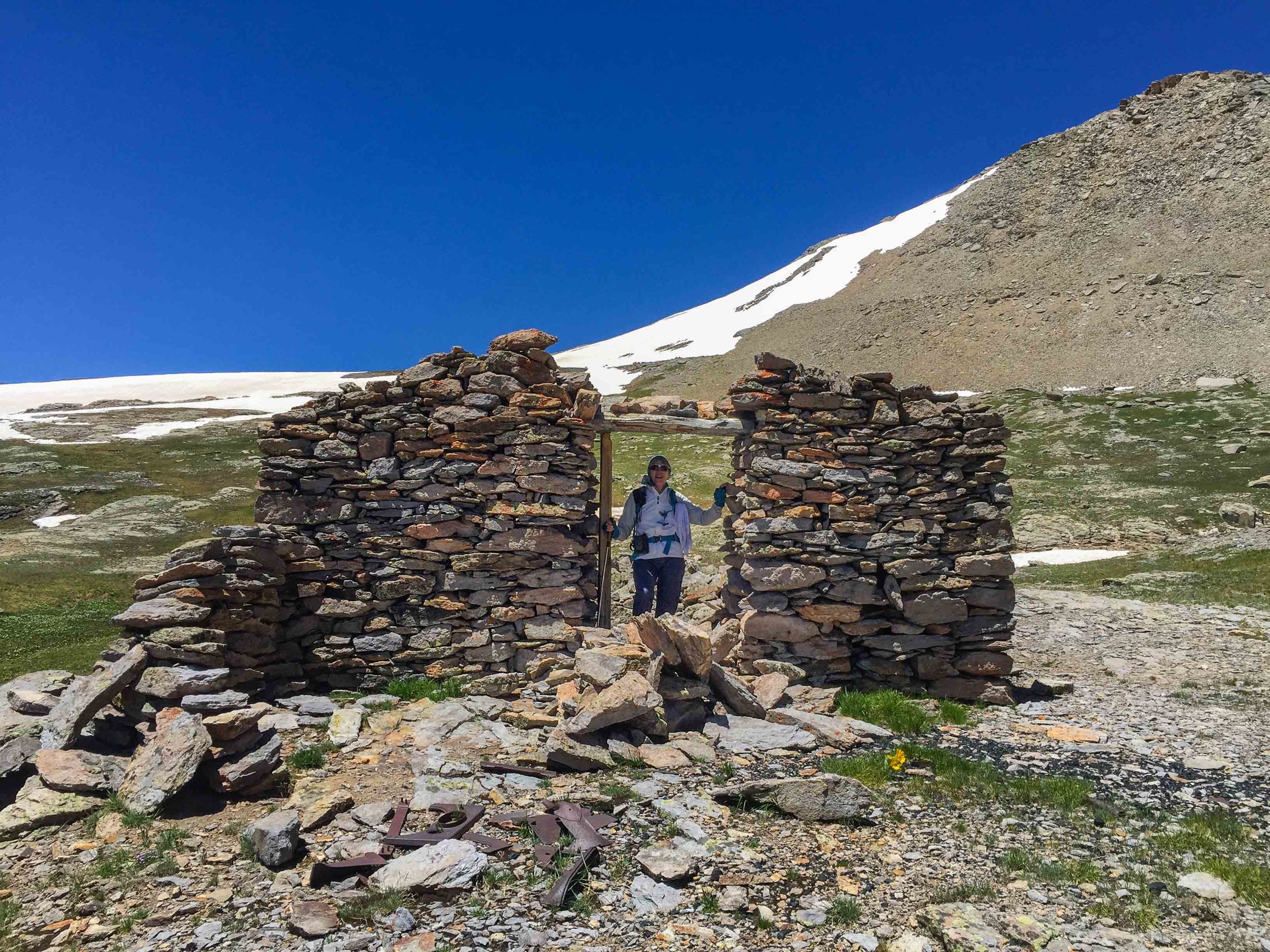
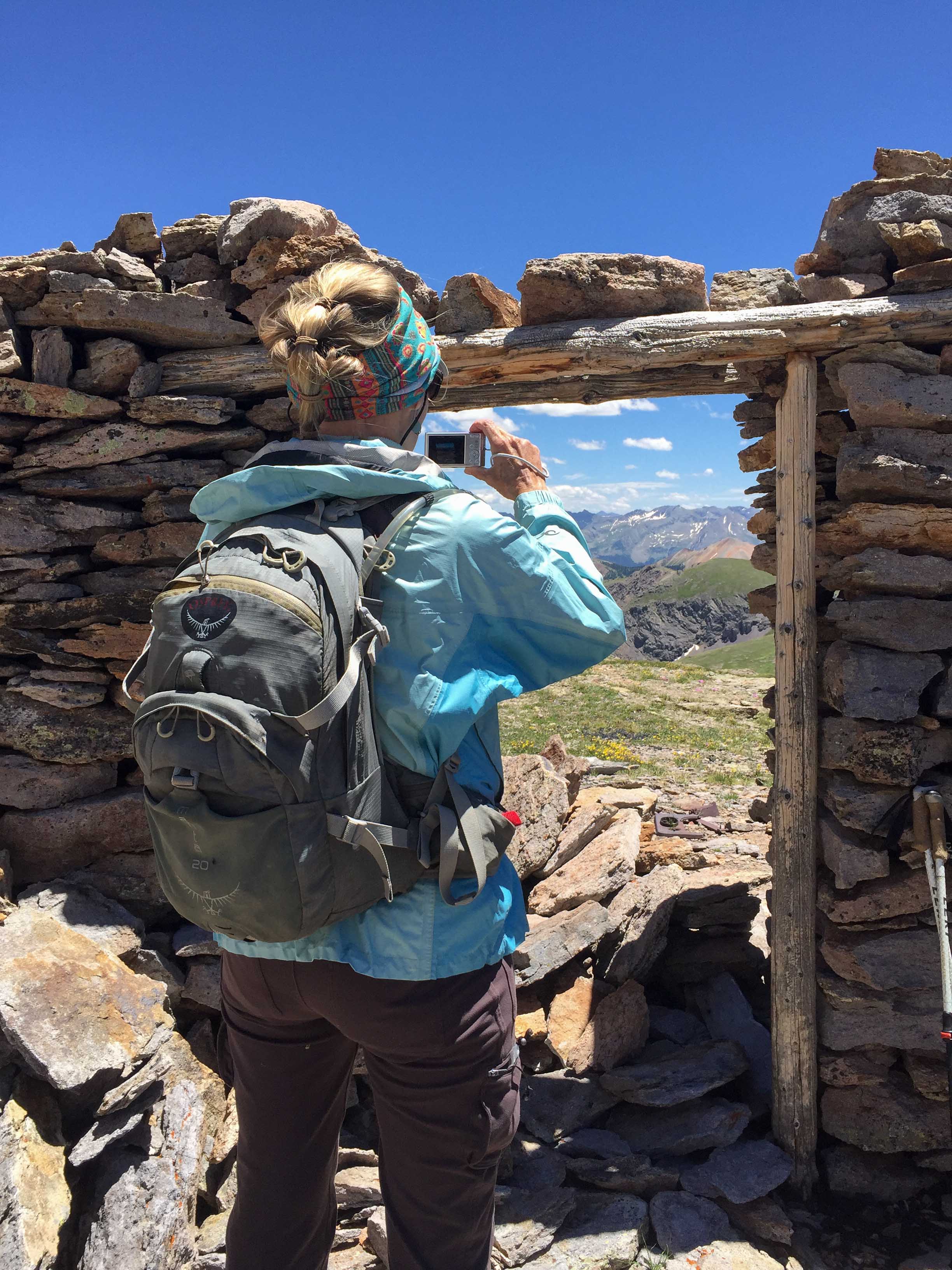
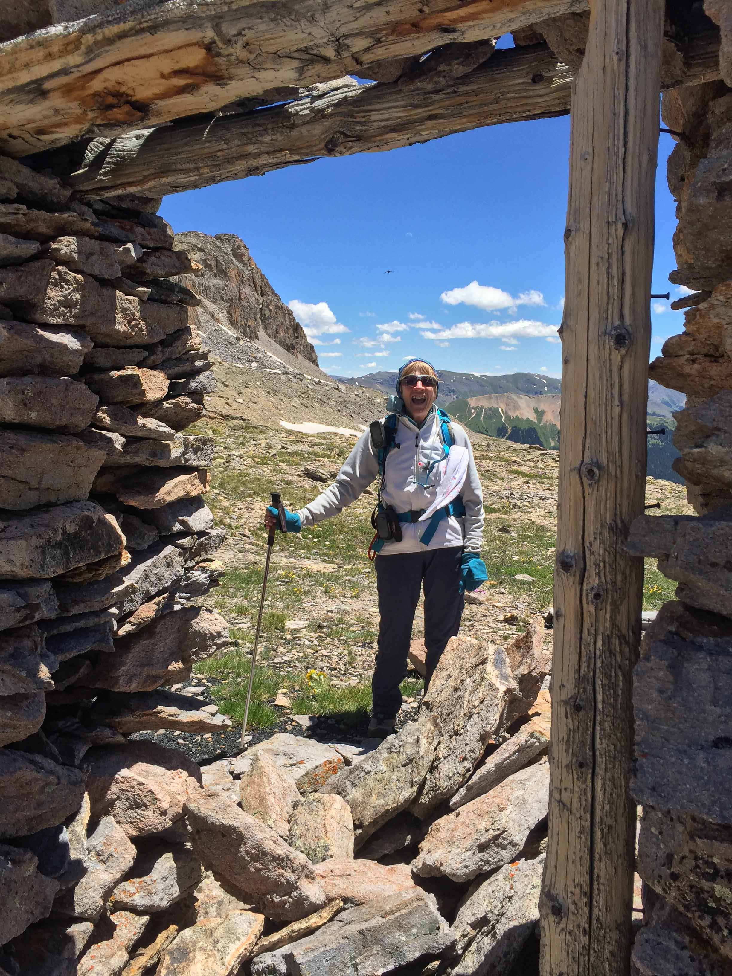
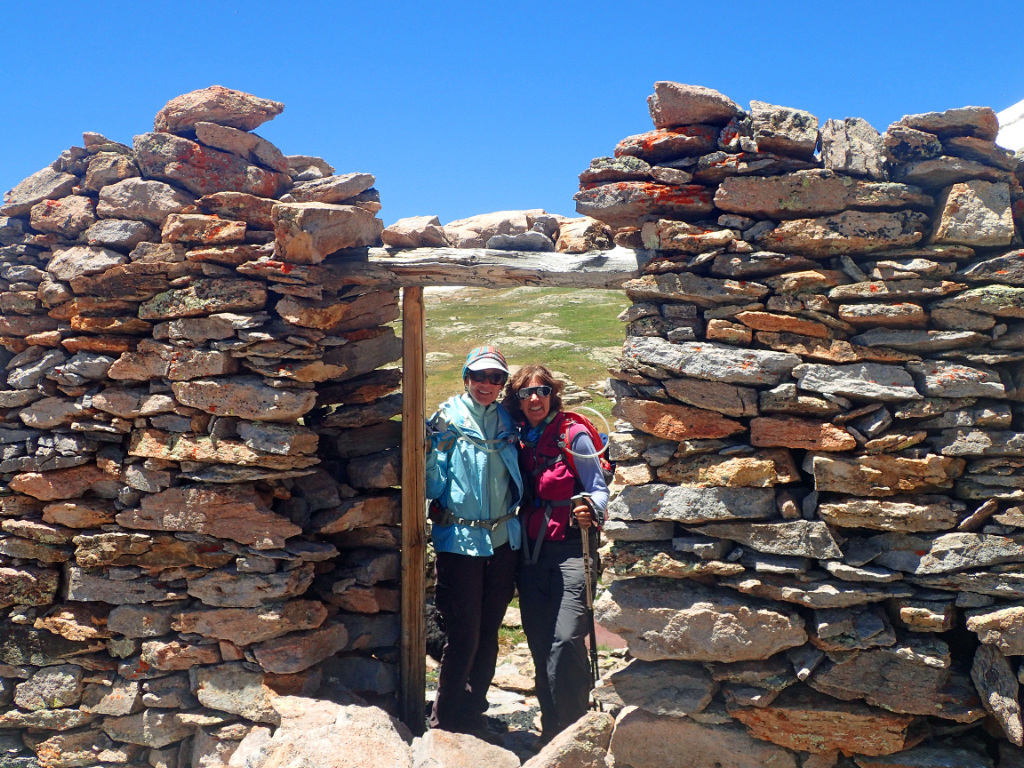
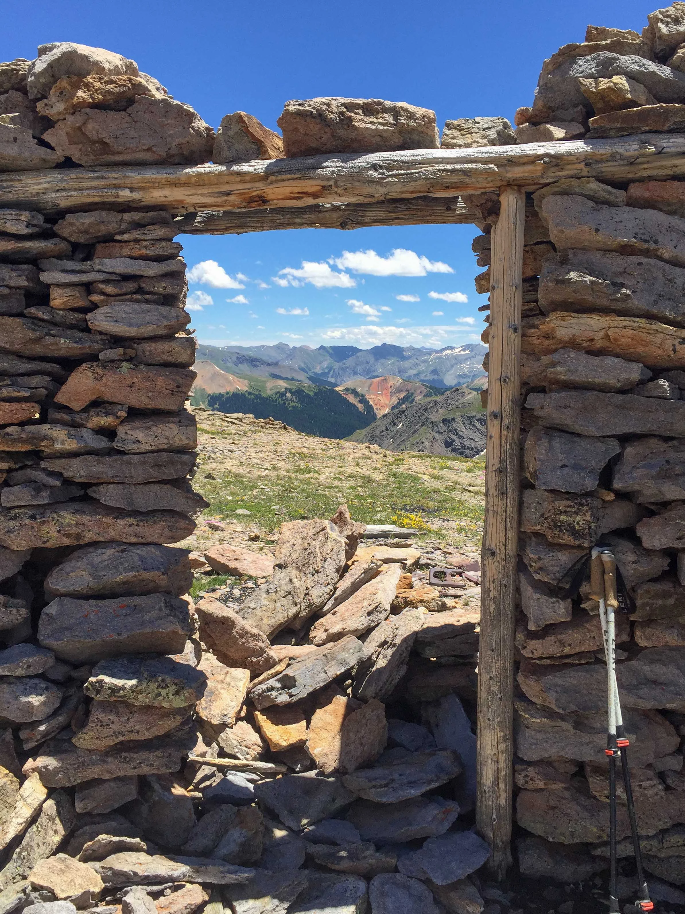
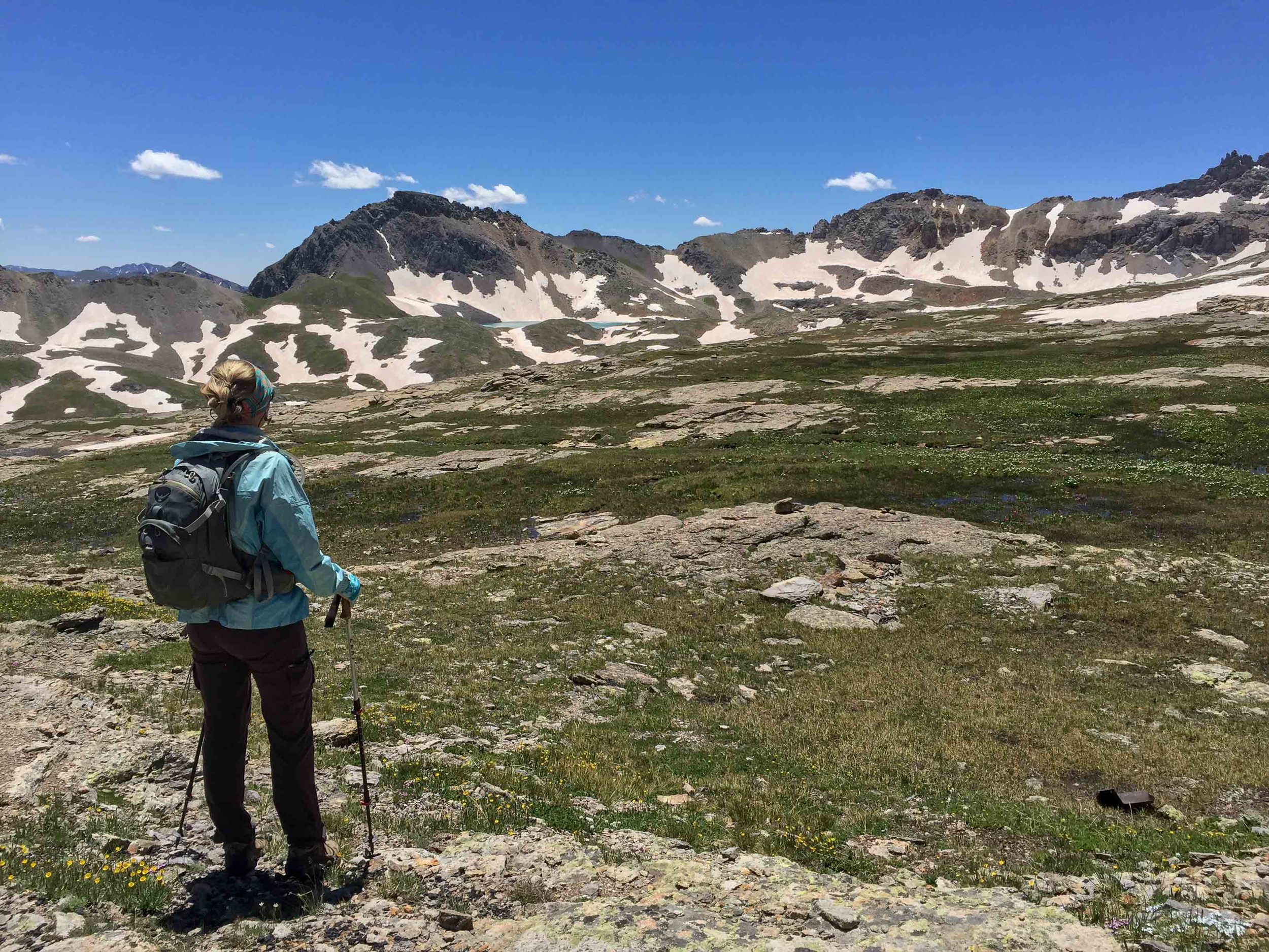
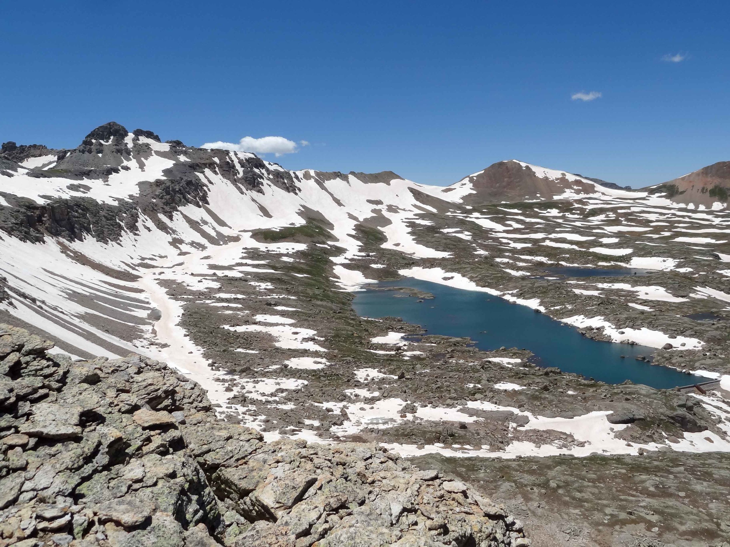
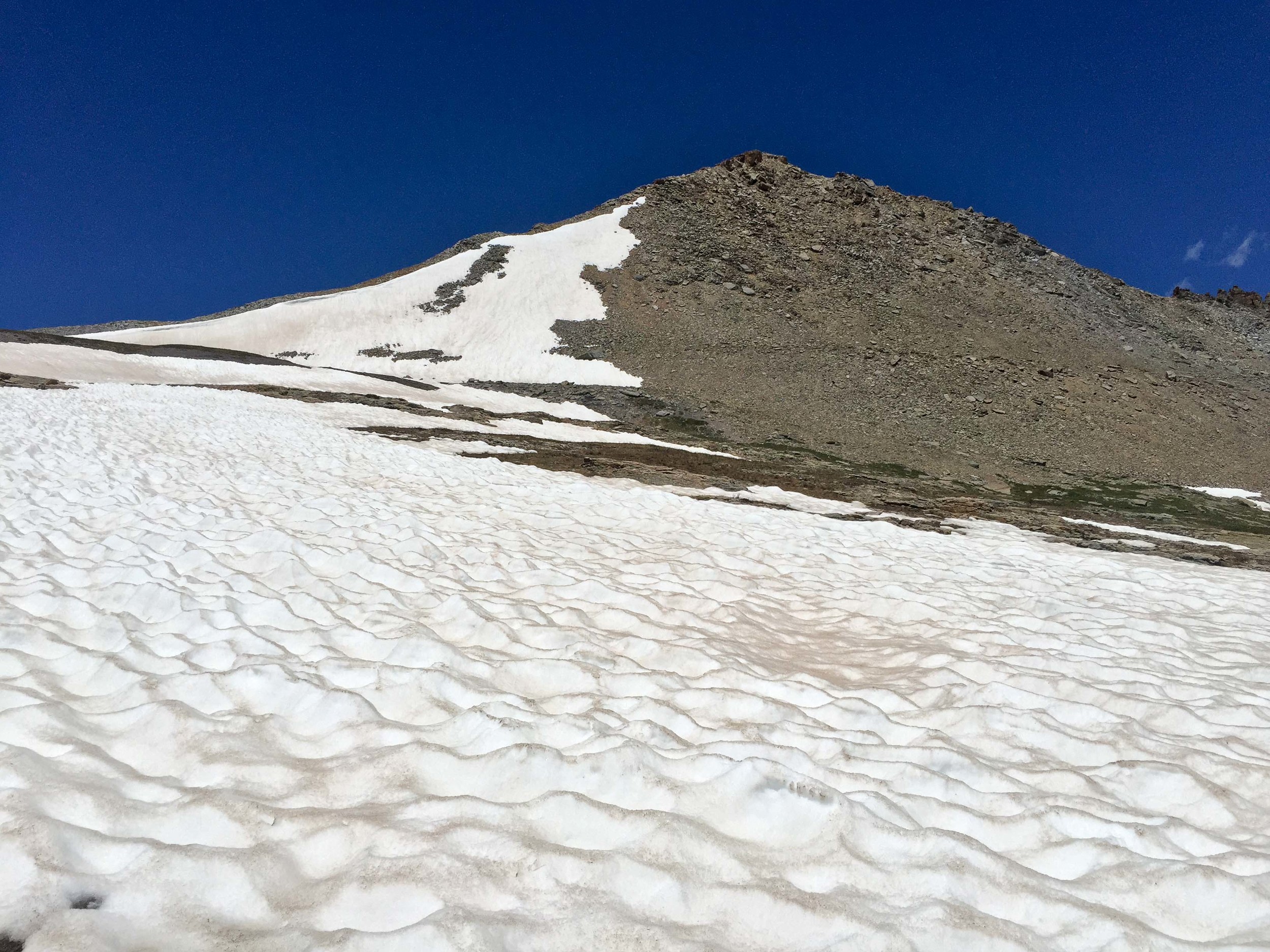
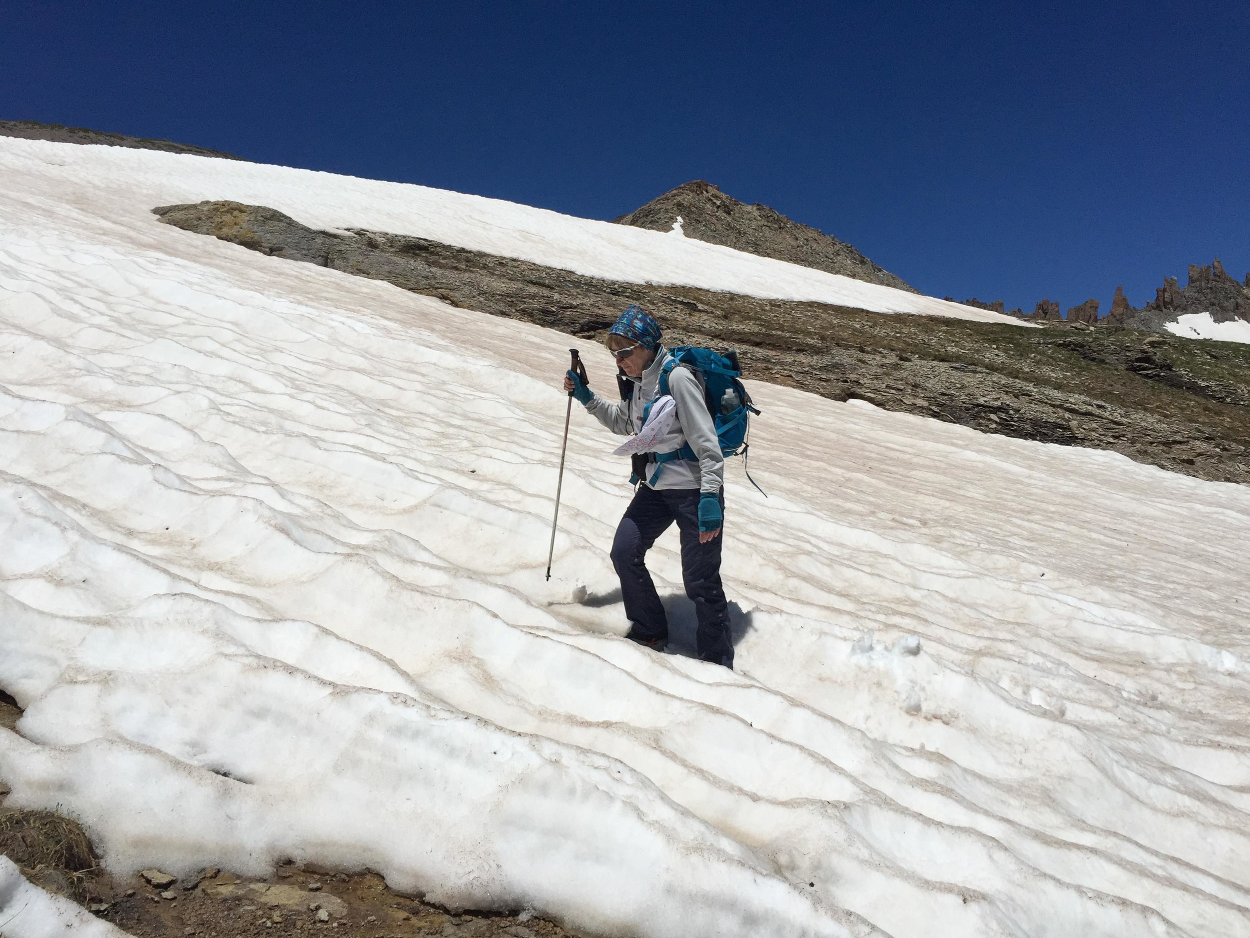
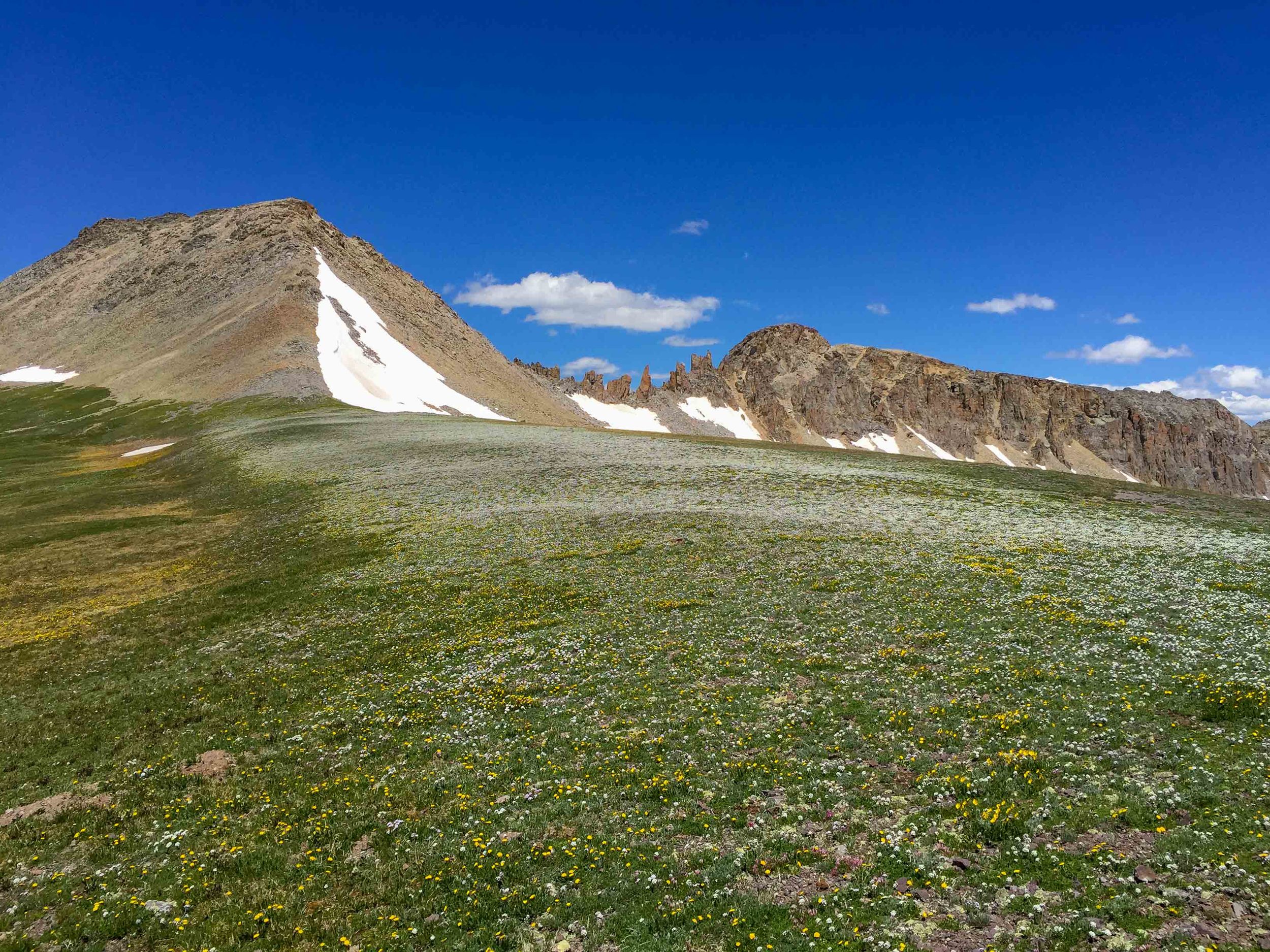
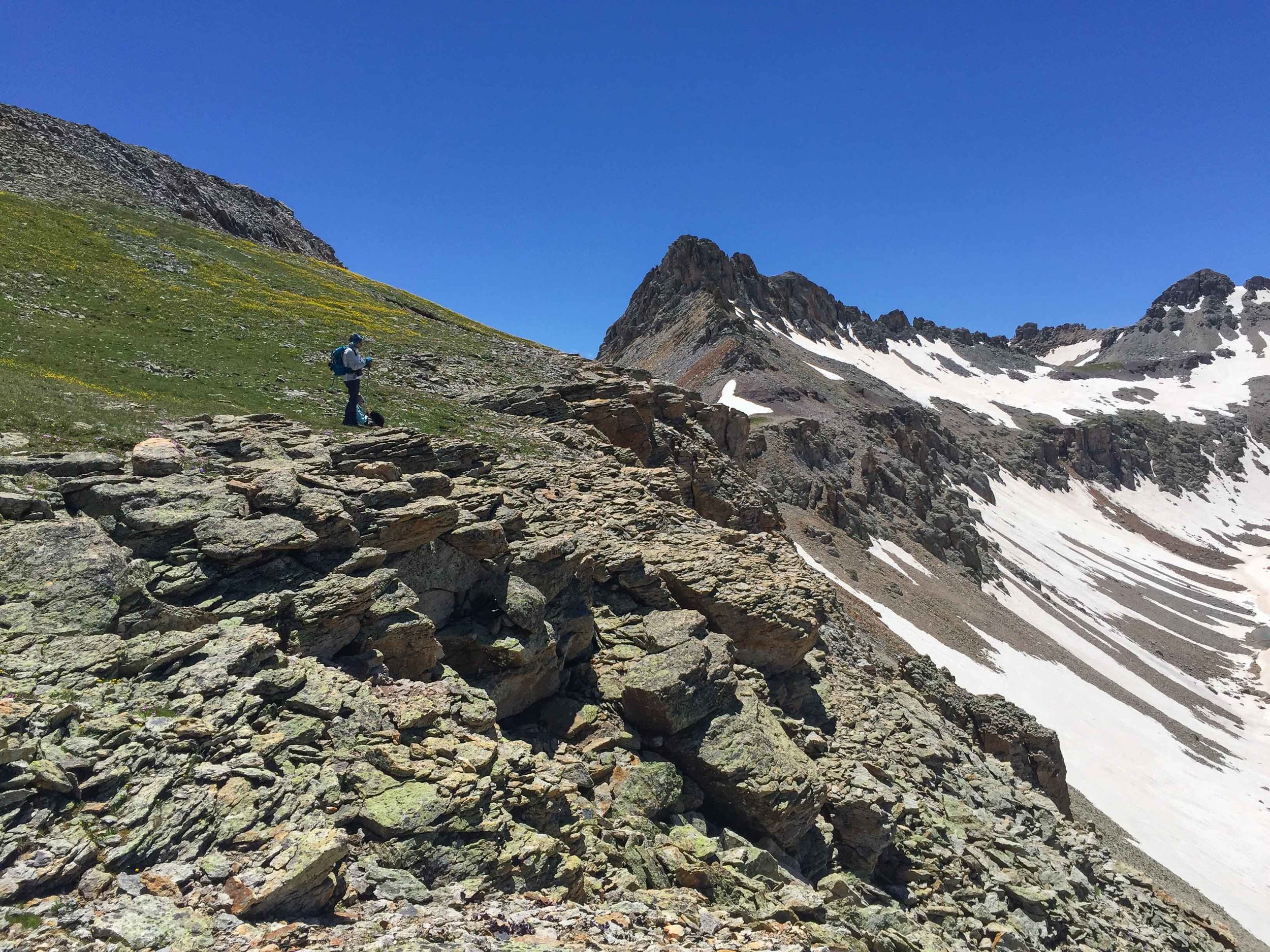
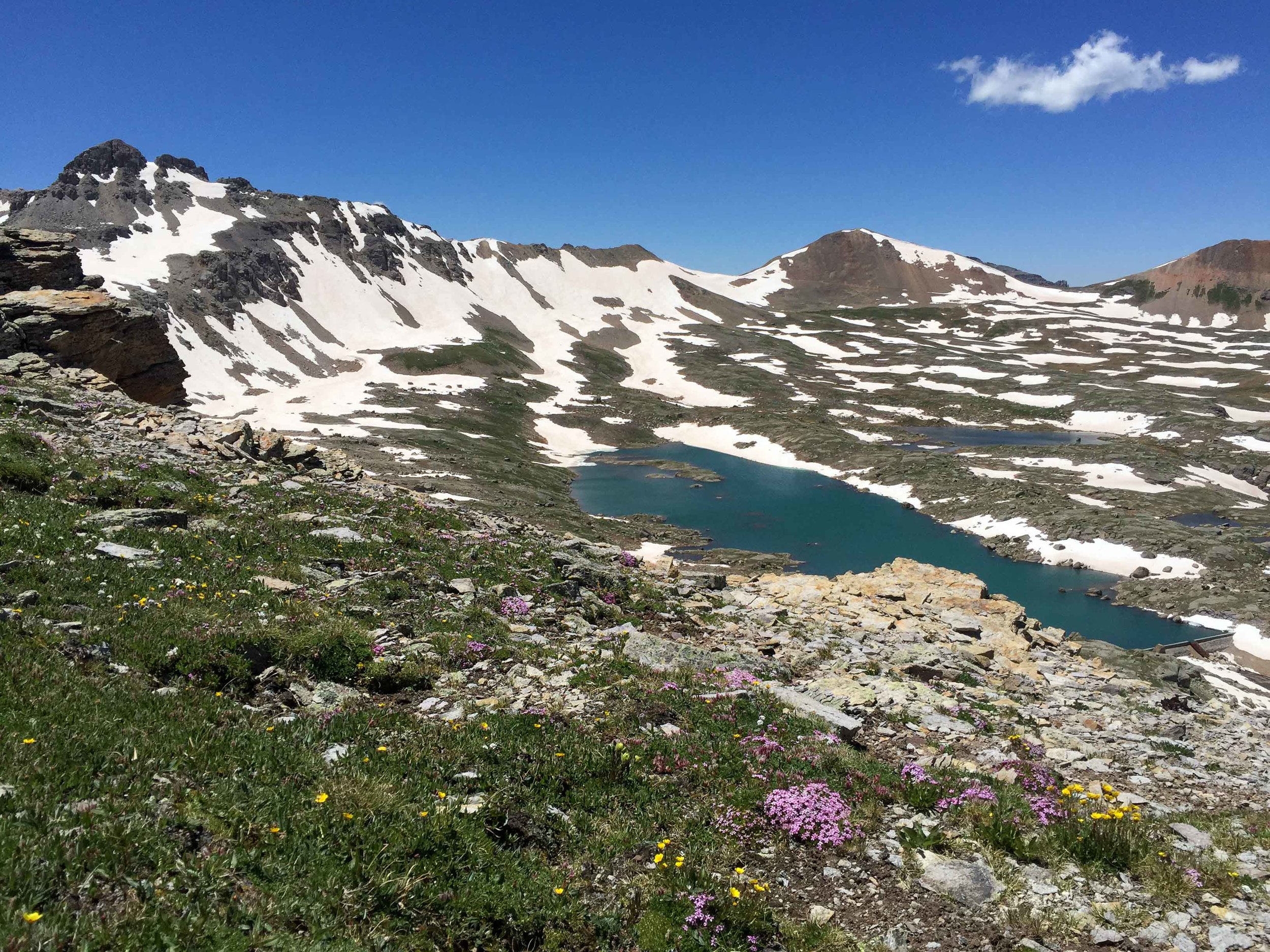
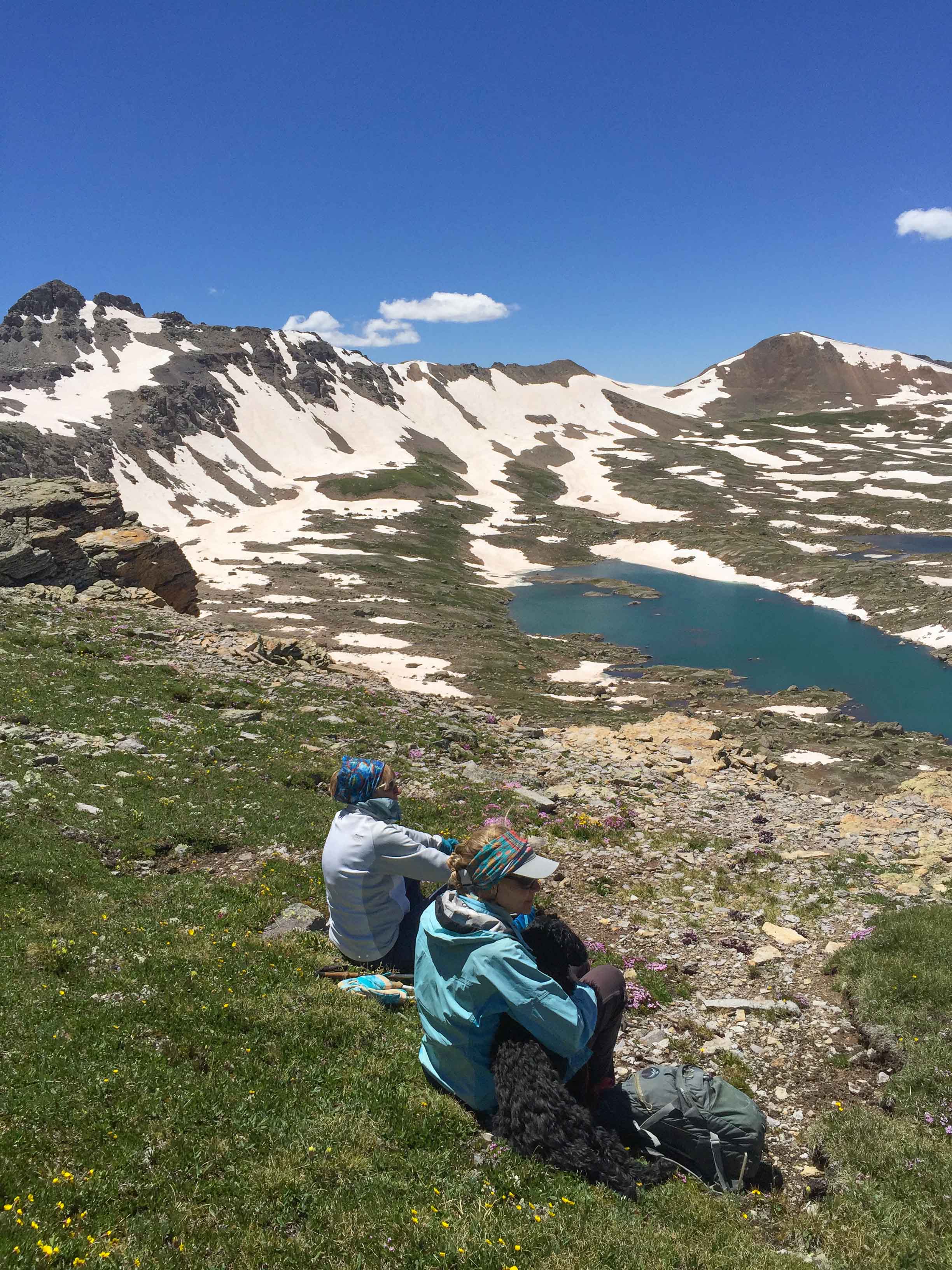
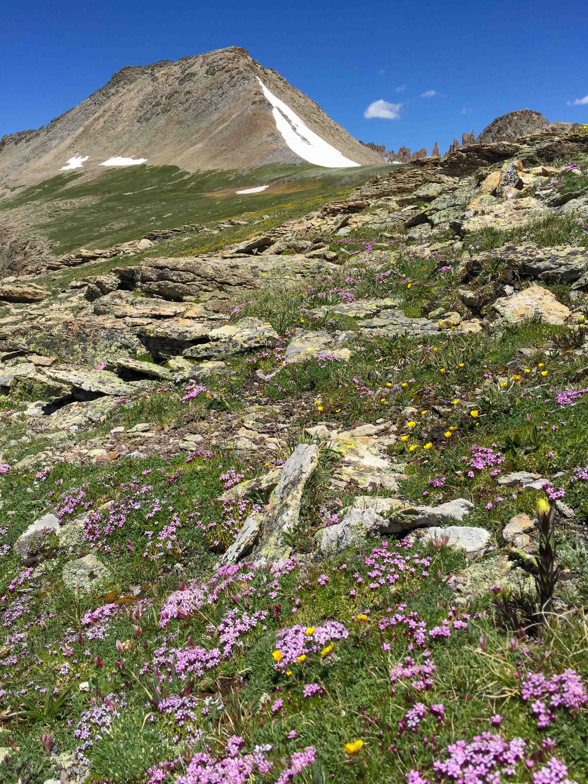
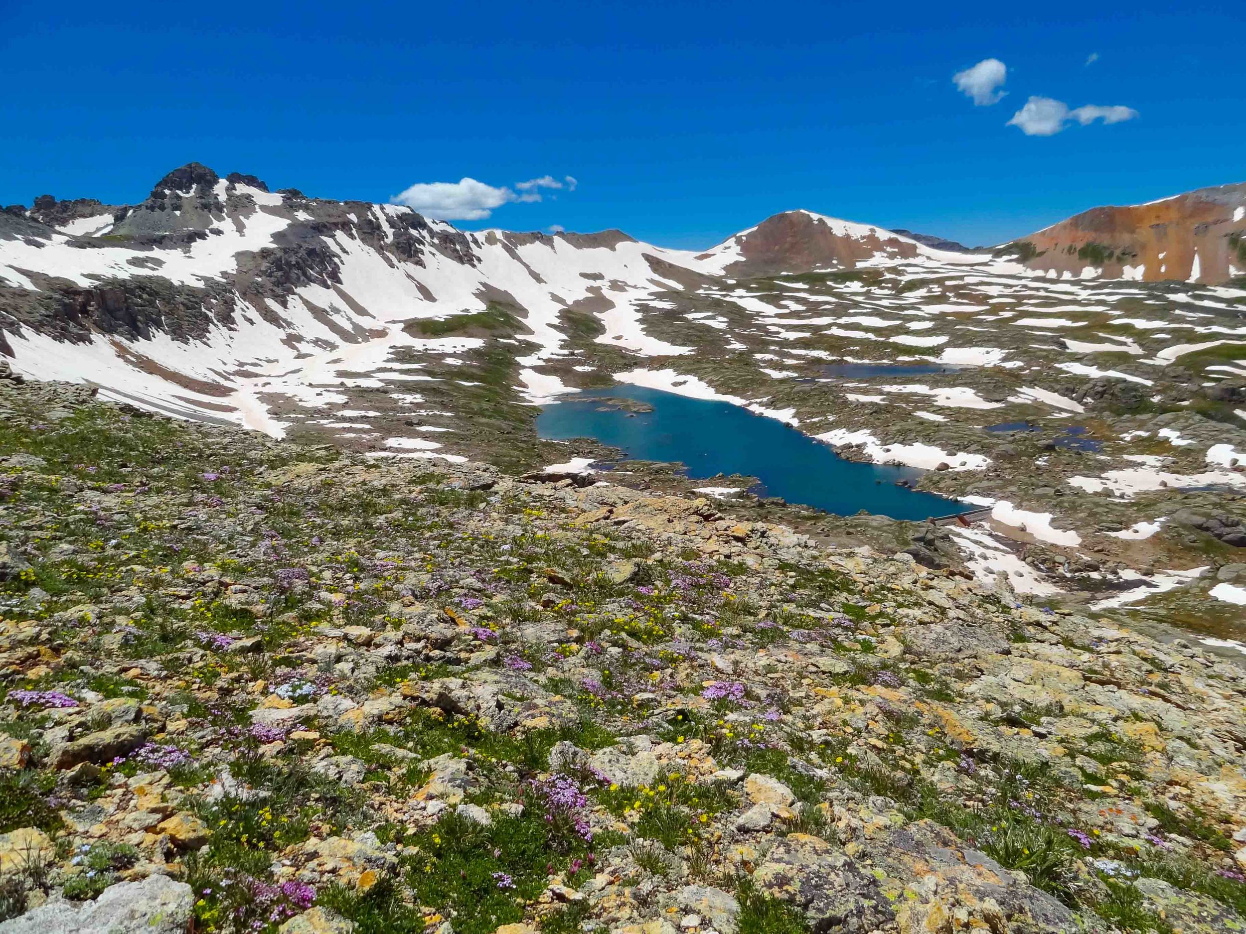
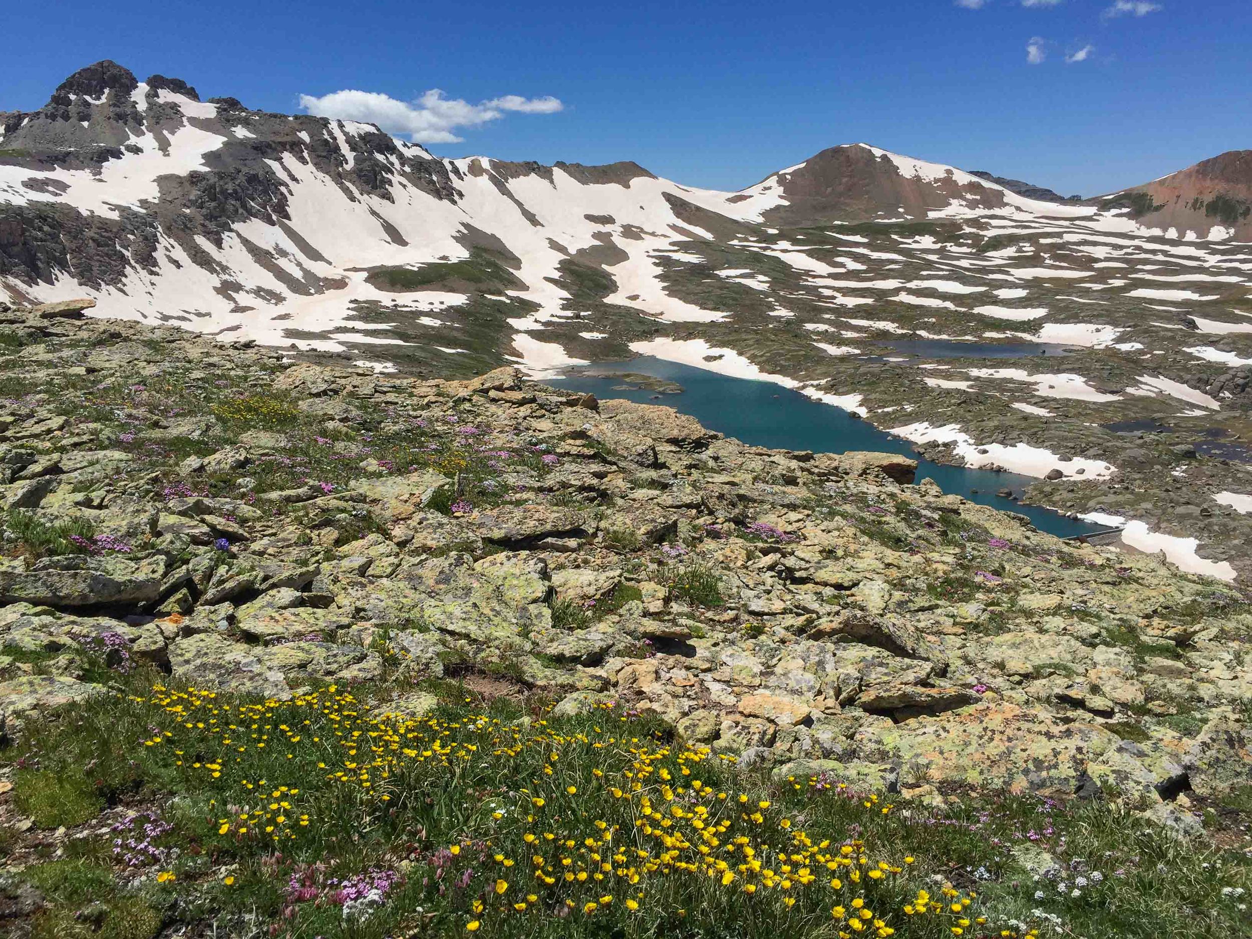
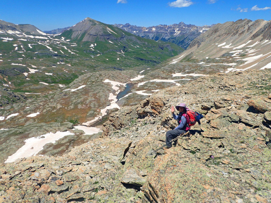
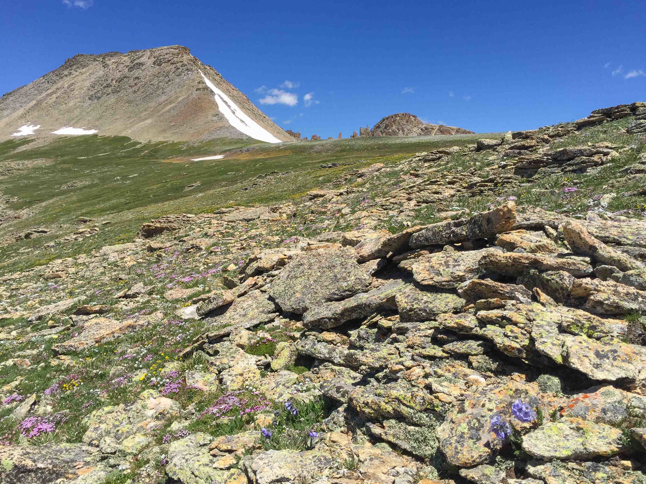
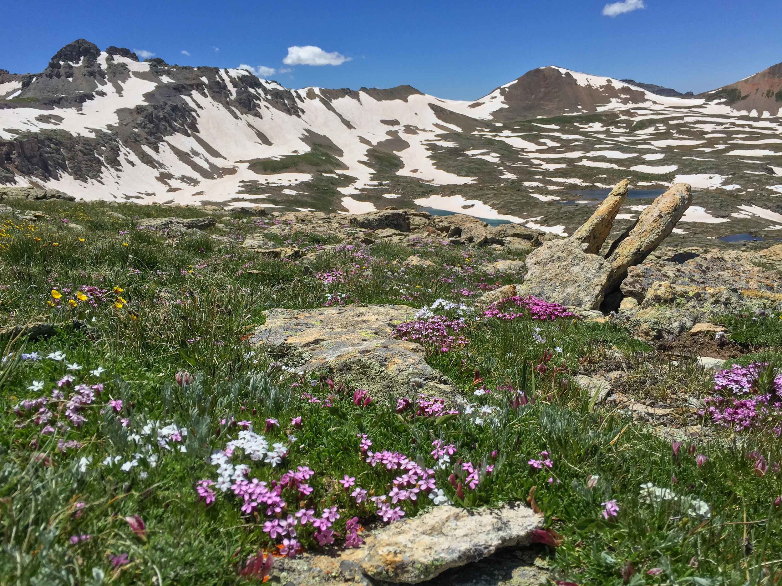
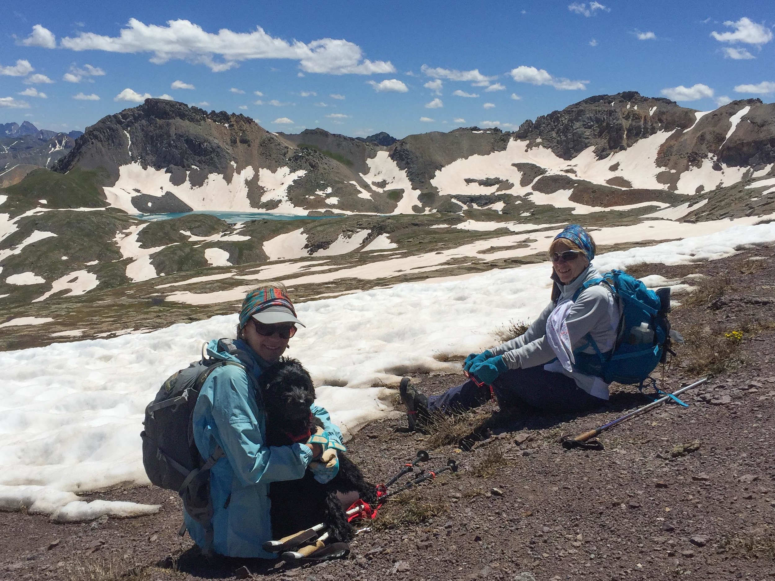
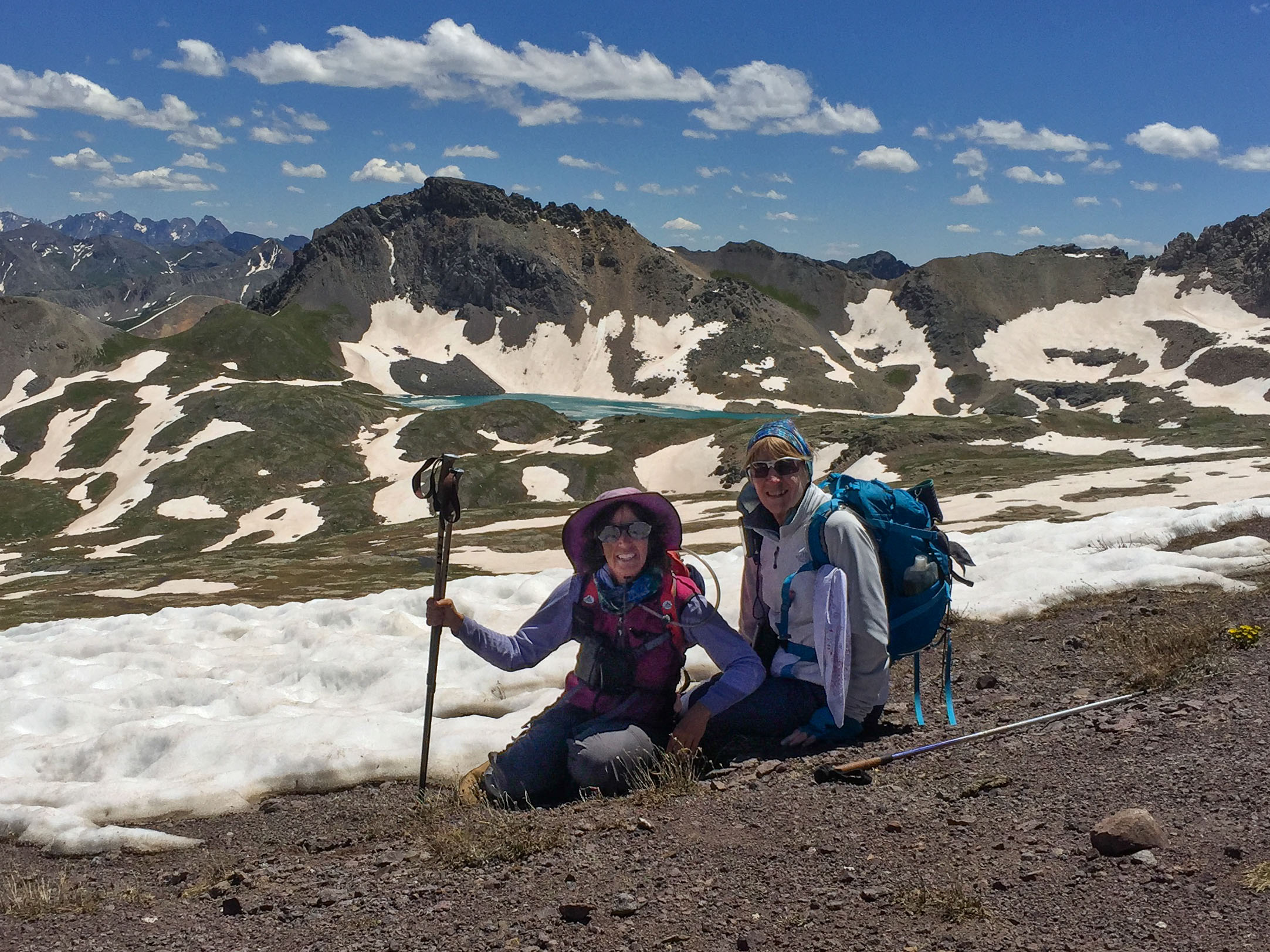
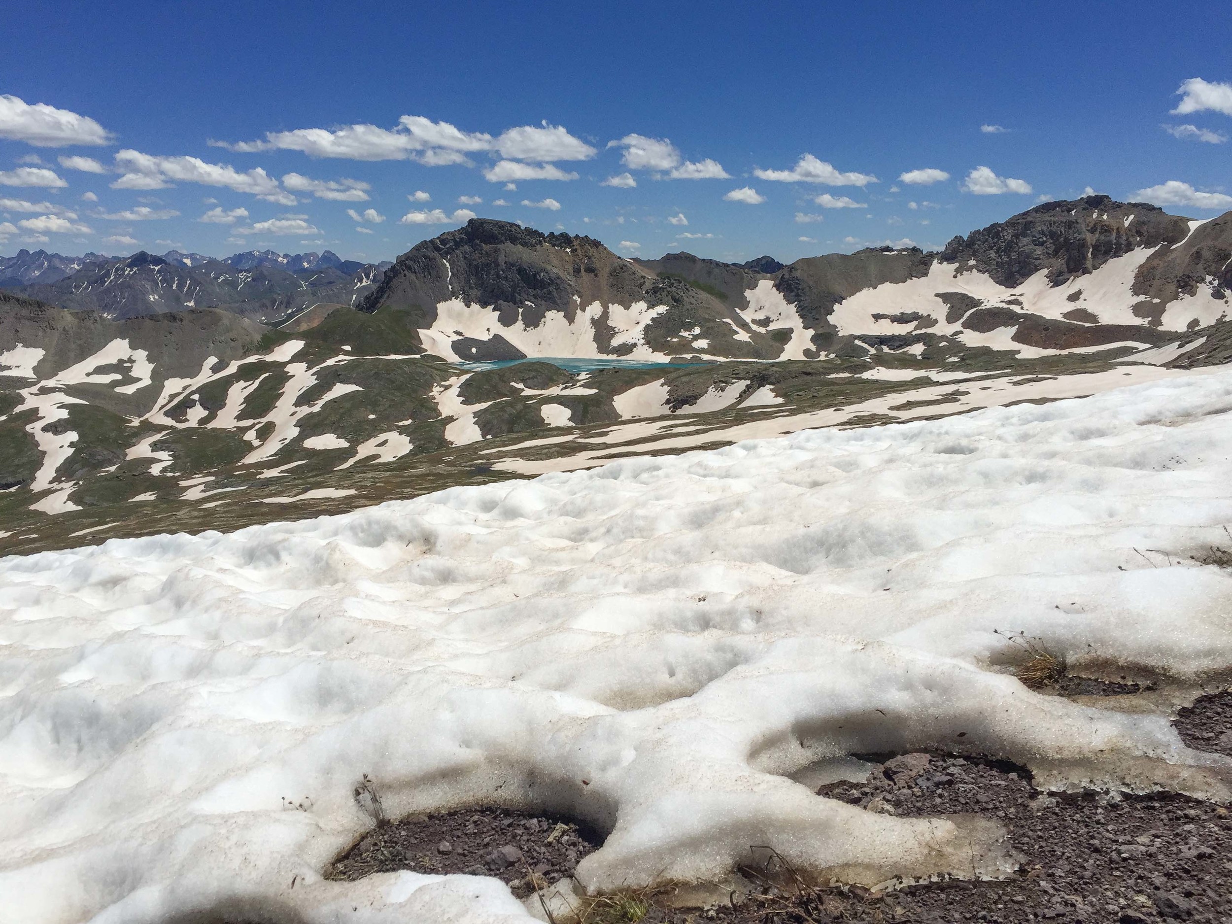
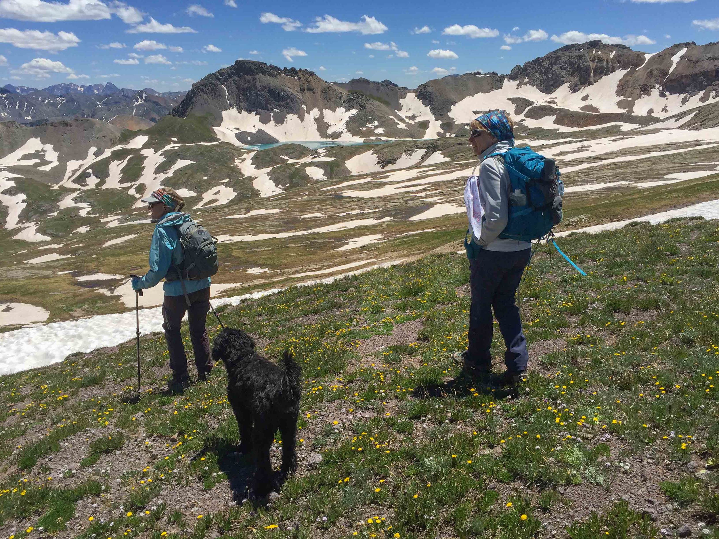
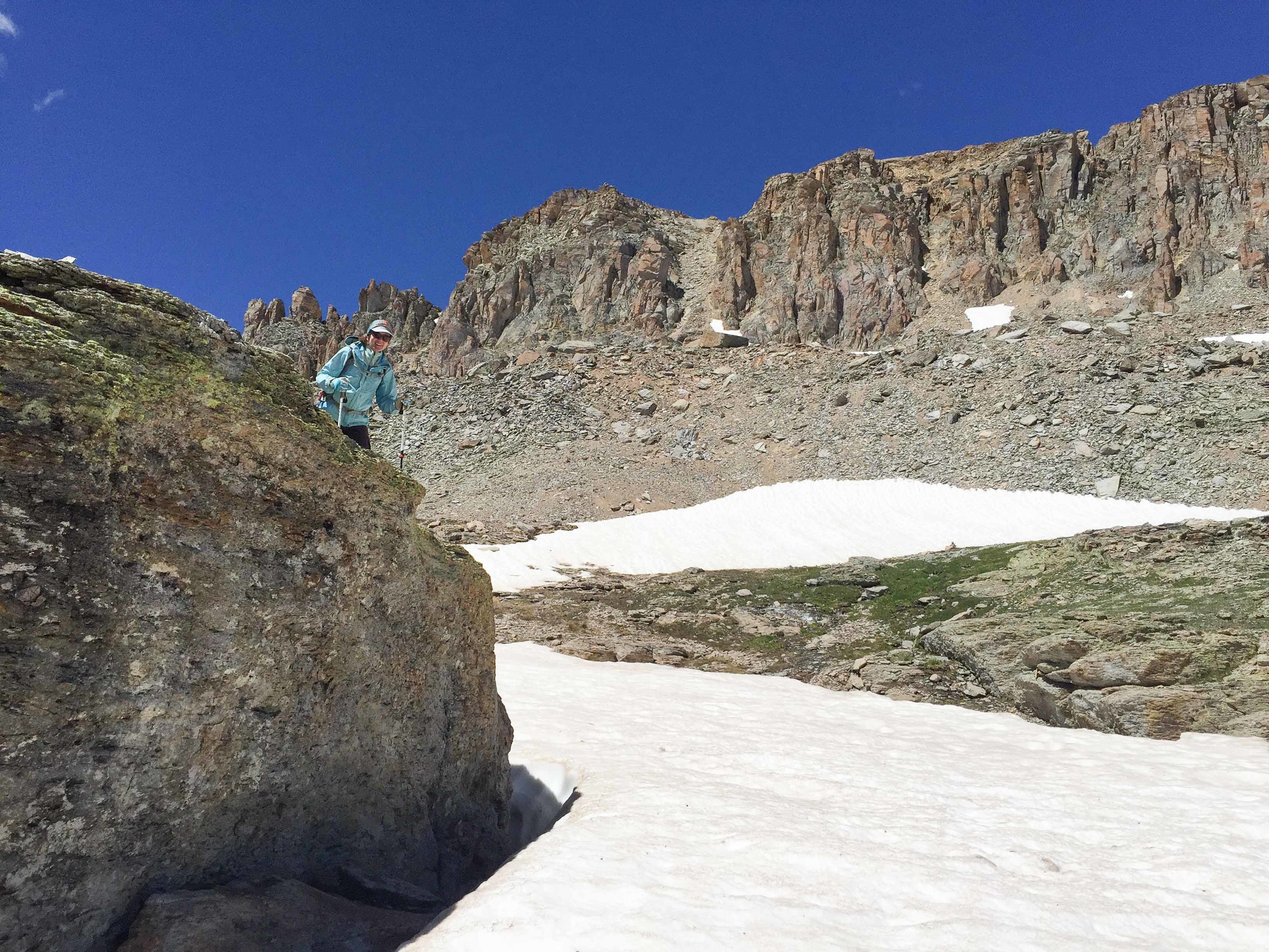
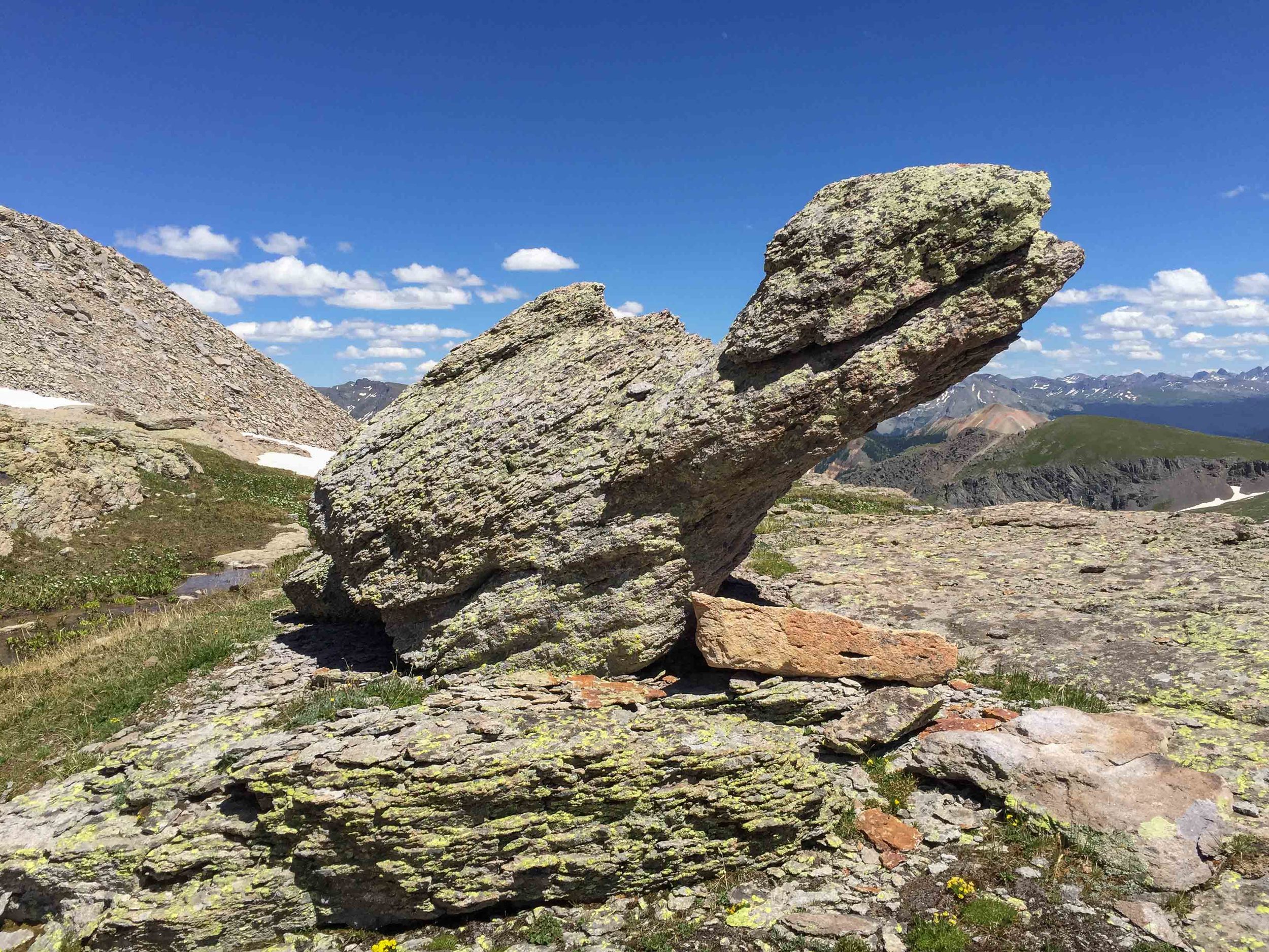
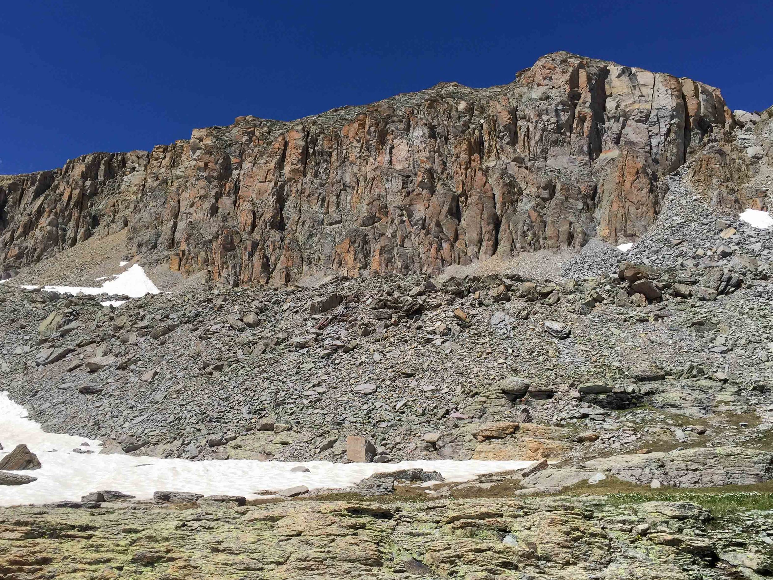
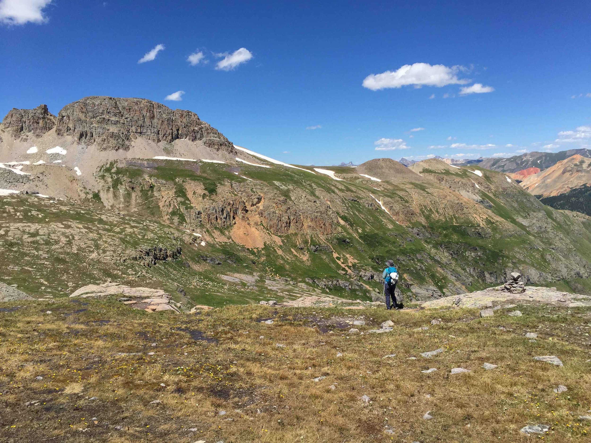
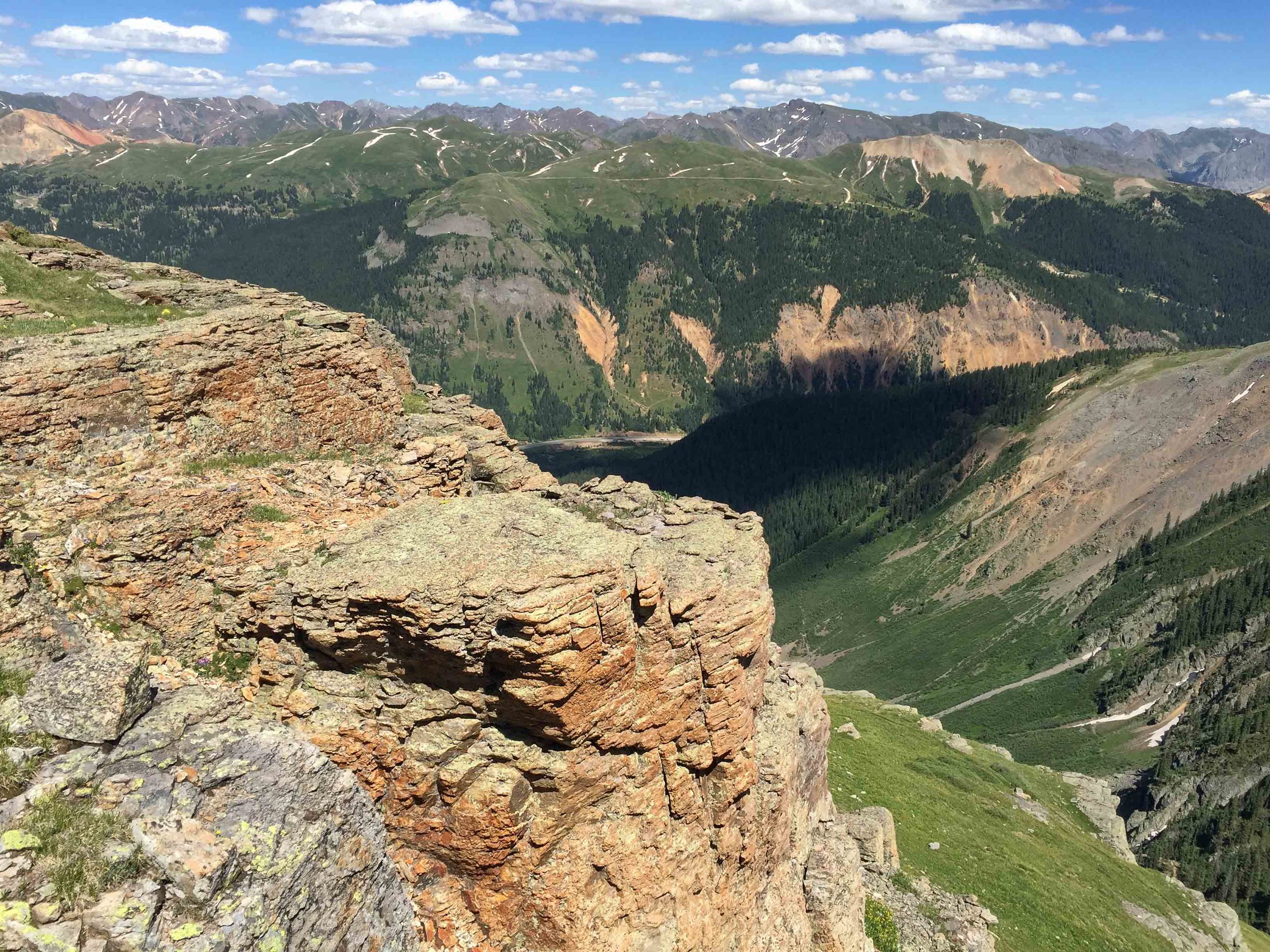
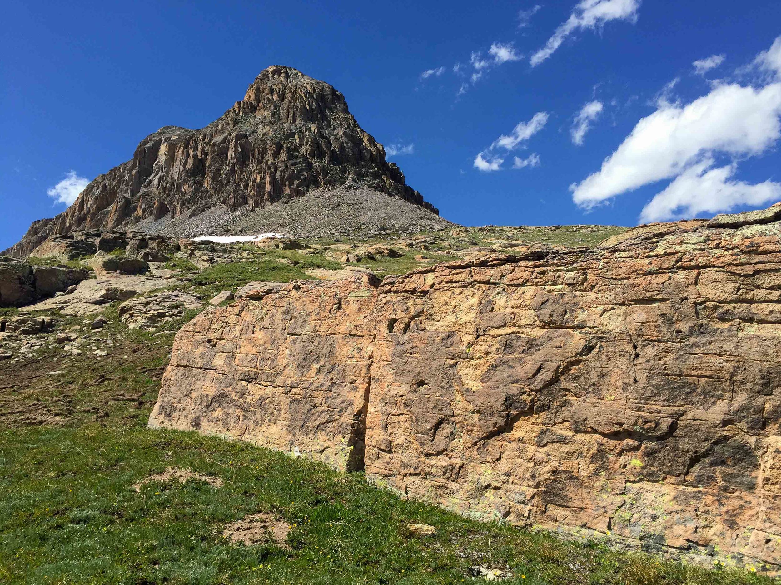
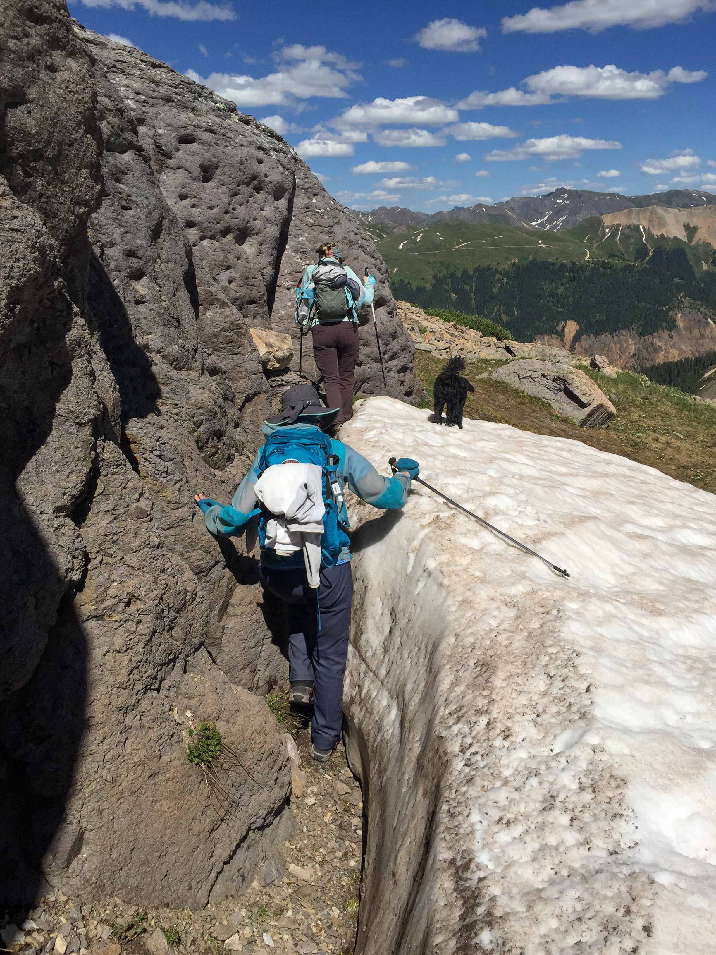
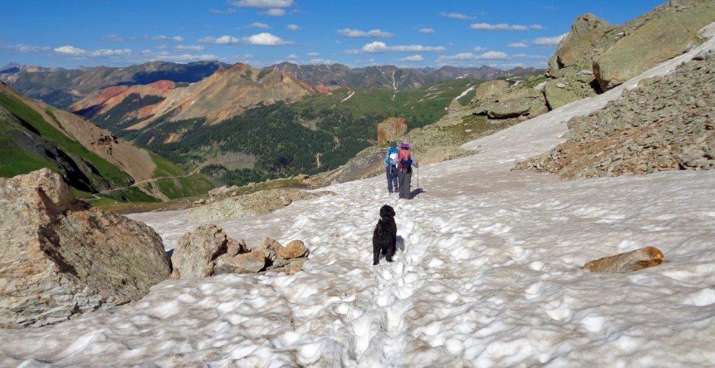
Once upon a time there was a Moxie named Jane Marie who loved to gather her friends and enemies for exploratory hikes. This date, she asked me and Penny to accompany her on a “short” hike to explore the trail from Porphyry Basin to Columbine Pass. She also wanted to find out if she would be able to drive her jeep up to the end of the road to start the hike as she plans to do this hike with another group next week. This hike started out as many others in the past: laughing, taking photos, taking in the views, discussing routes, ect. After Approx 10.5-11 miles and 8 hours later, we found we had climbed 2984’ and lost an elevation of 3546’ and reached a high point at Columbine Pass of 13,140’. Additionally, we were almost out of water, our food was being rationed and our cell phone batteries were dead. The moral of this story is don't ever leave on a hike with Jane Marie unless you have your sleeping bag, ice axe, crampons, headlamp and helmet. Always keep a car charger with you and never tell your spouse you are going on a short hike or you'll worry them to death. With that being said, It was a long but incredible day with wildflowers, waterfalls, lakes and expansive mountain views. We just didn't anticipate the large snowfields that still covered the main upper route. We hiked the lower route around the ledge to the pass but decided to try to find the route back on the upper trail. That was a mistake as there was just too much snow and too may cliffs. Luckily, Penny had her GPS to keep us on track as Jane Marie wanted us to hike "higher" and I thought we should be hiking down "lower". In a few weeks after all the snow has melted, I highly recommend attempting this hike as it is Colorado at it's finest.