MOUNT SHERMAN, COLORADO 14er: 14,036'
PANORAMA TAKEN ON MOUNT SHERMAN SUMMIT
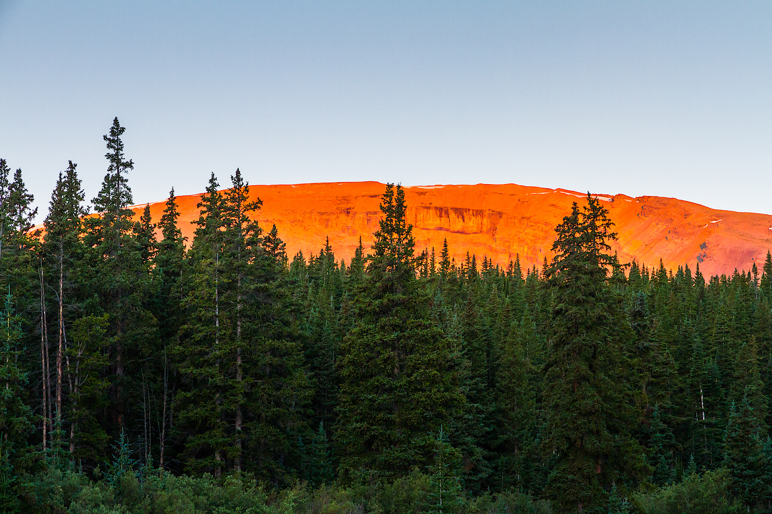
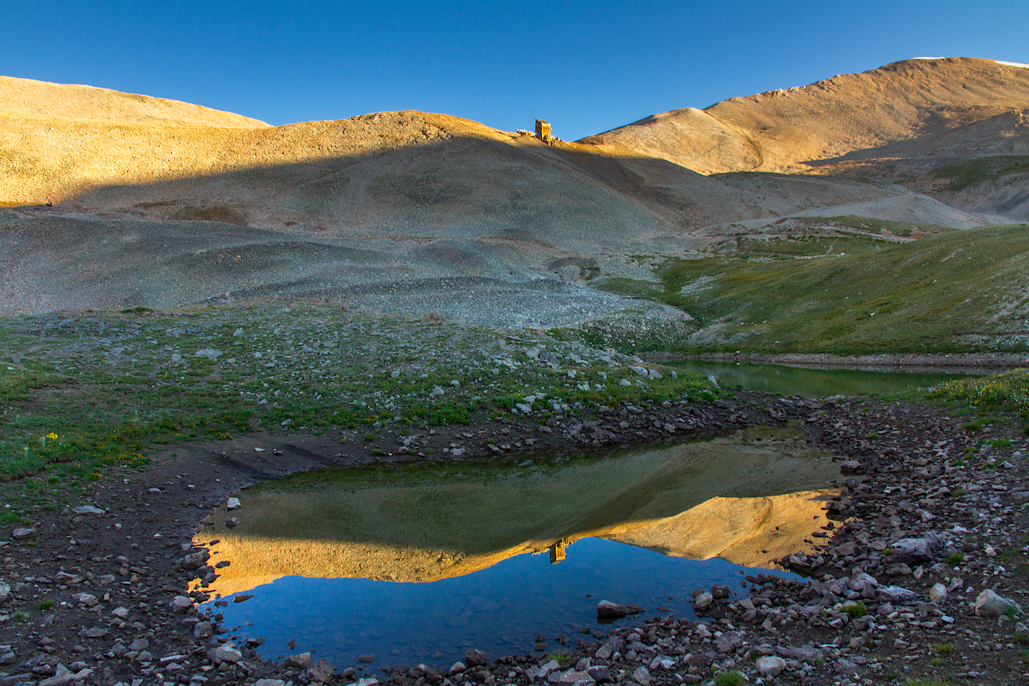
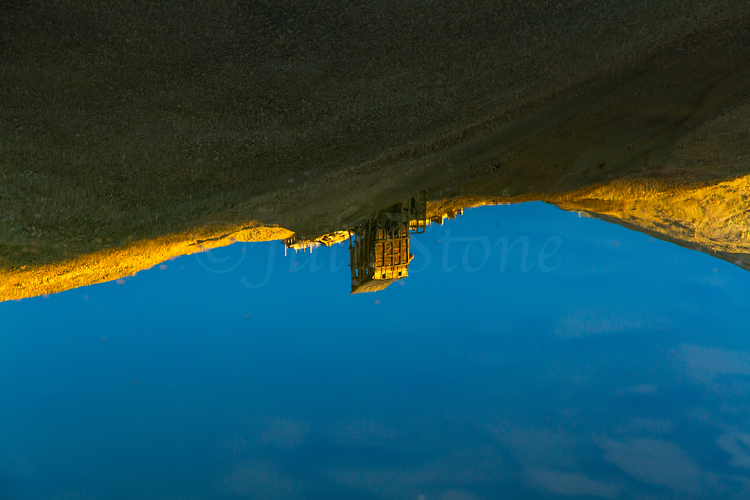
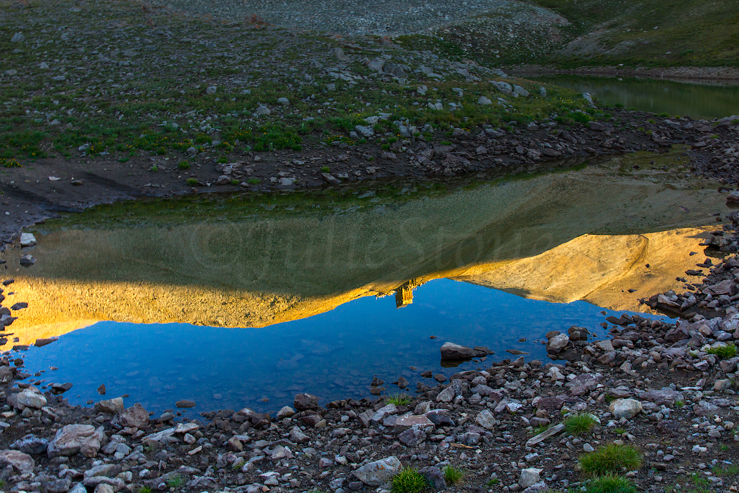
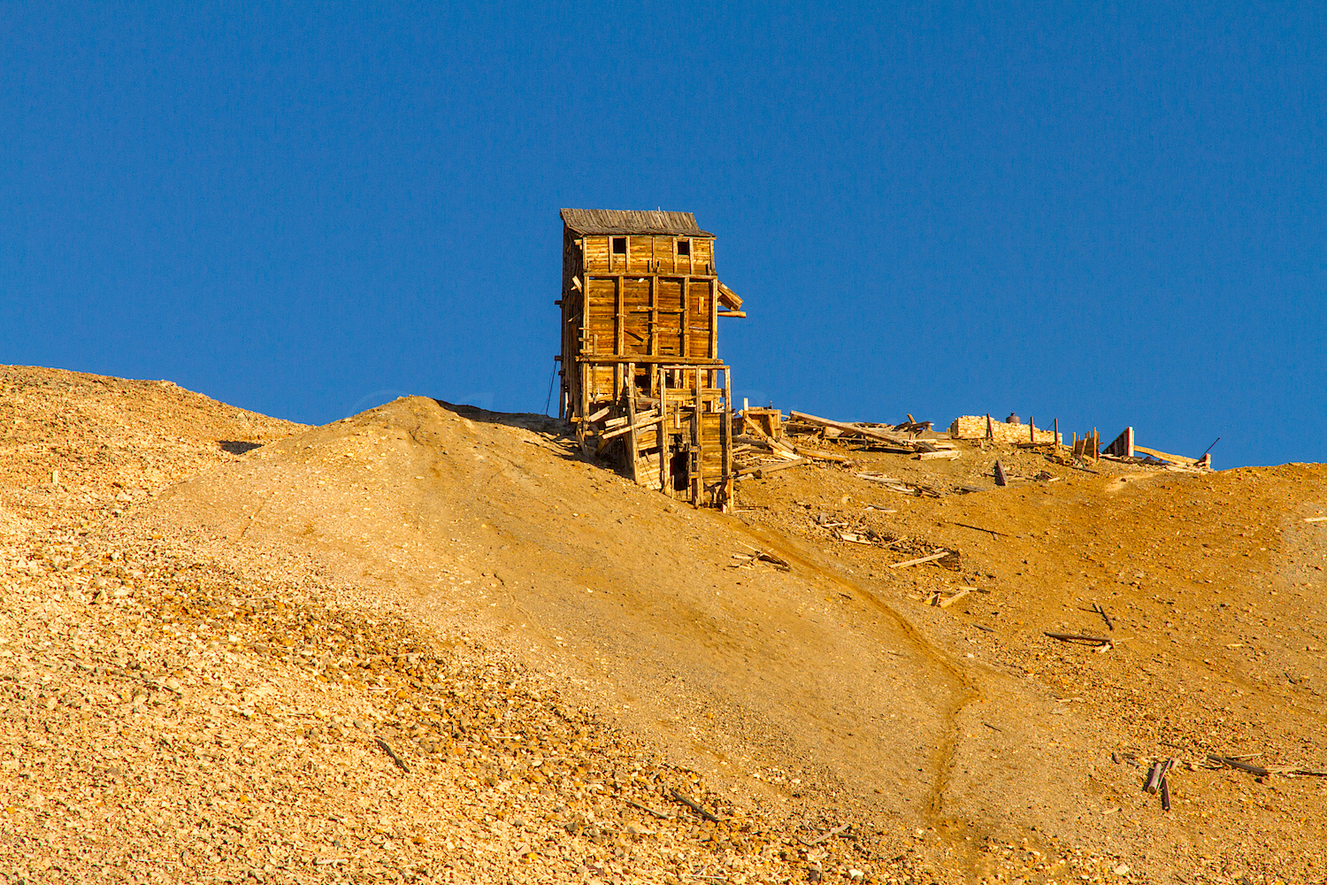
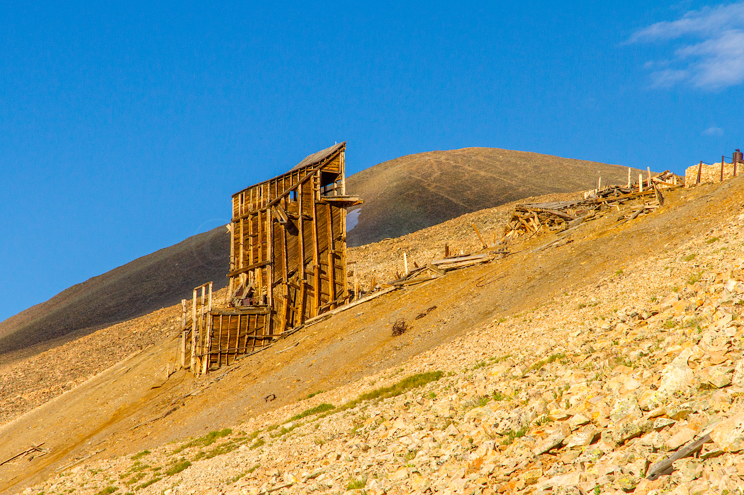
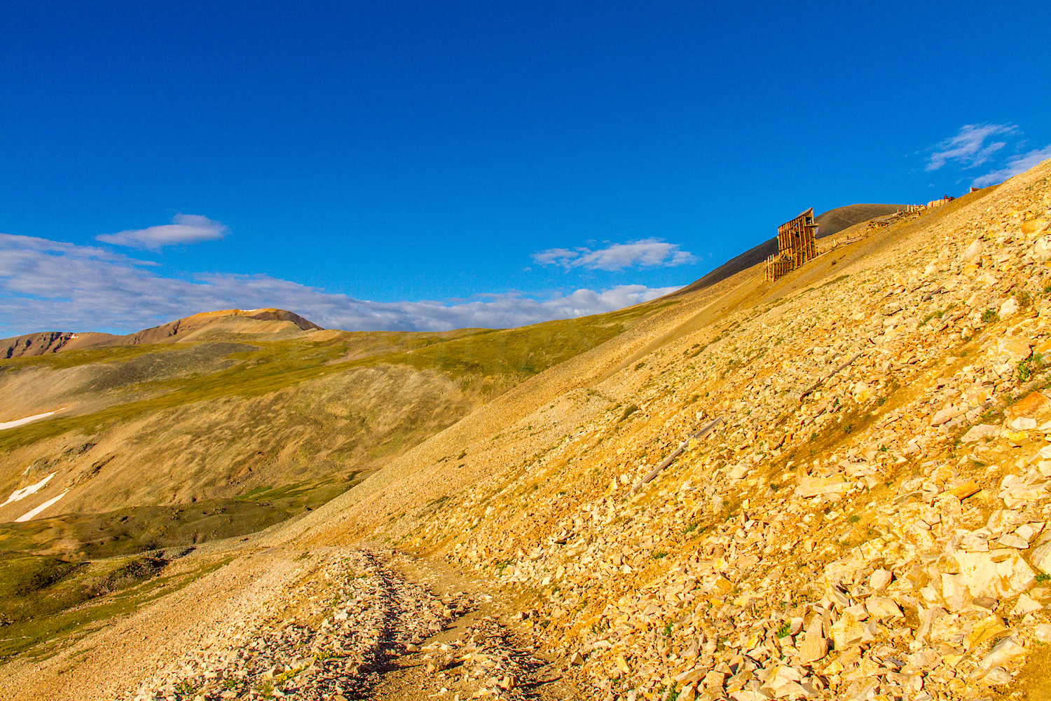
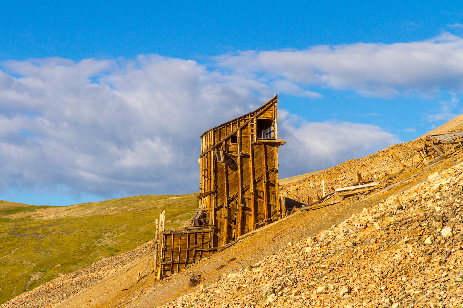
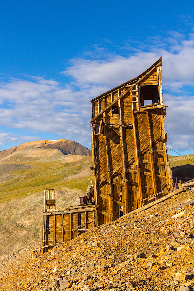
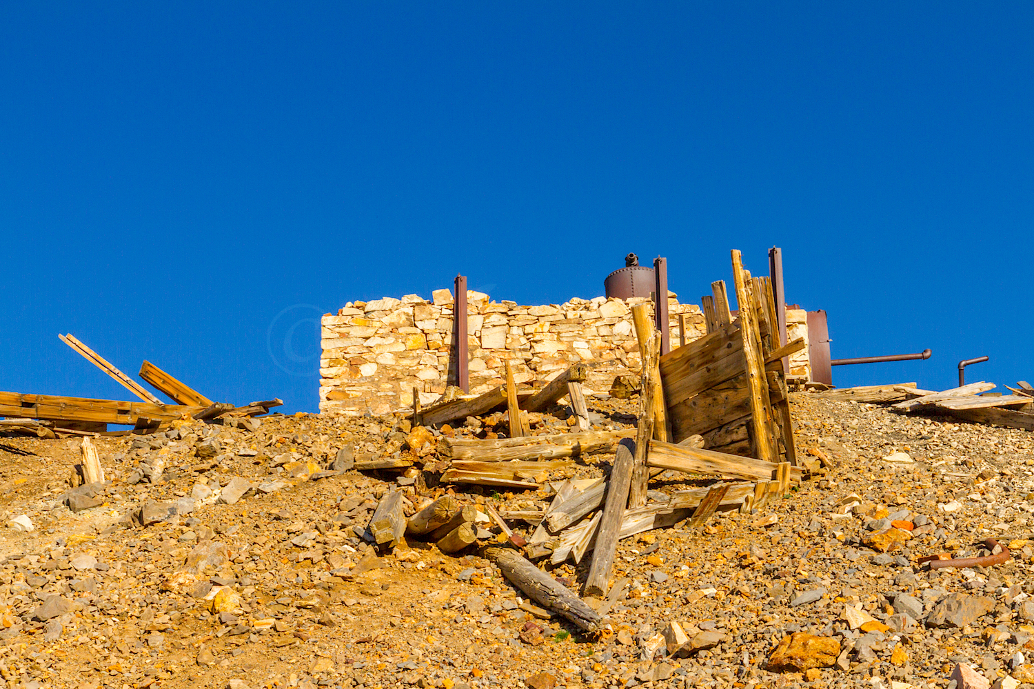
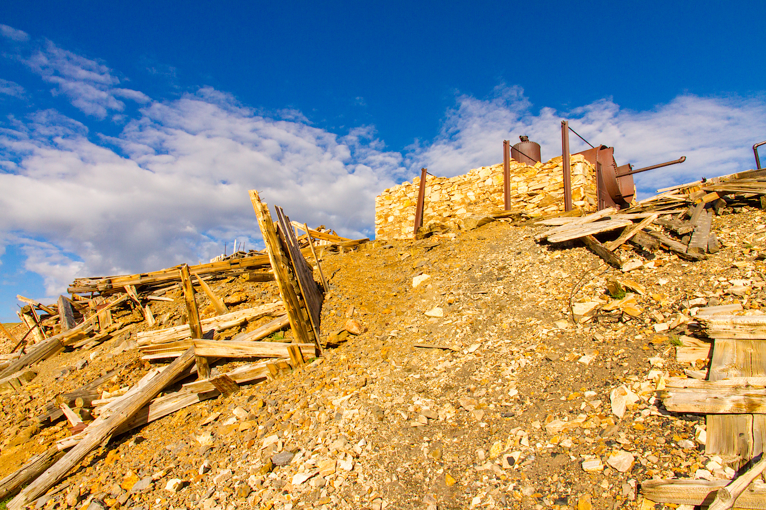
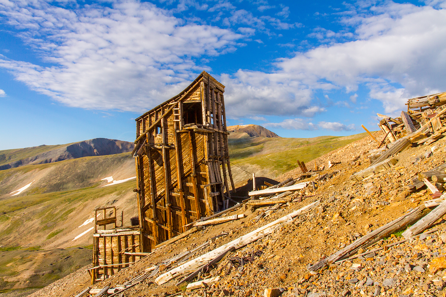
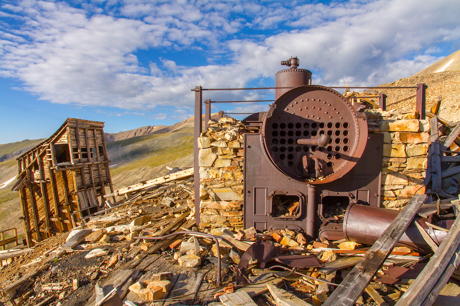
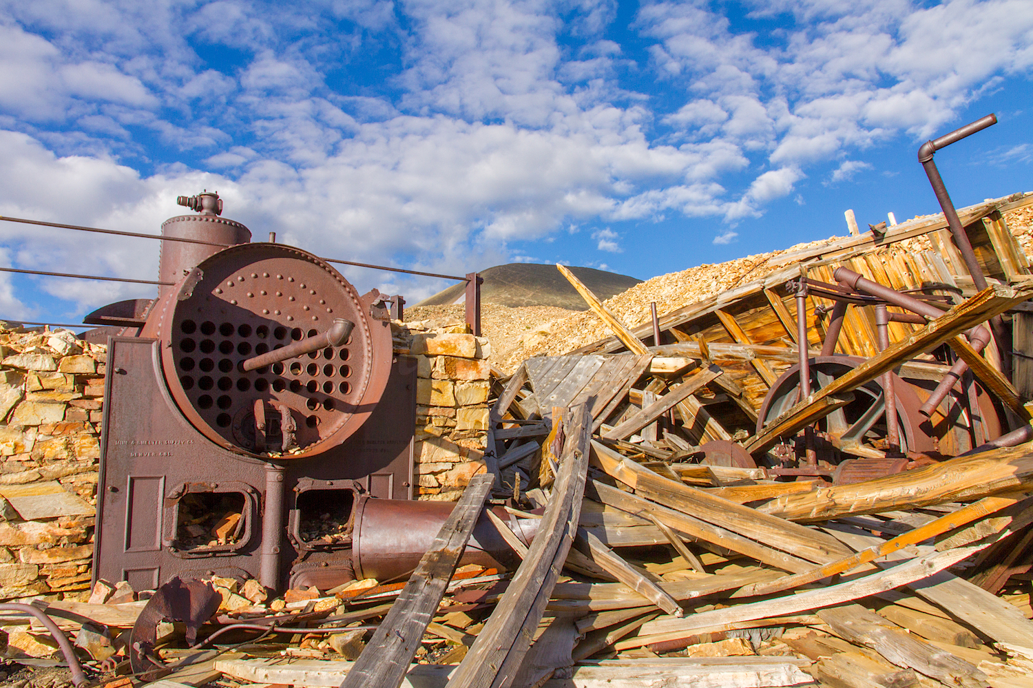
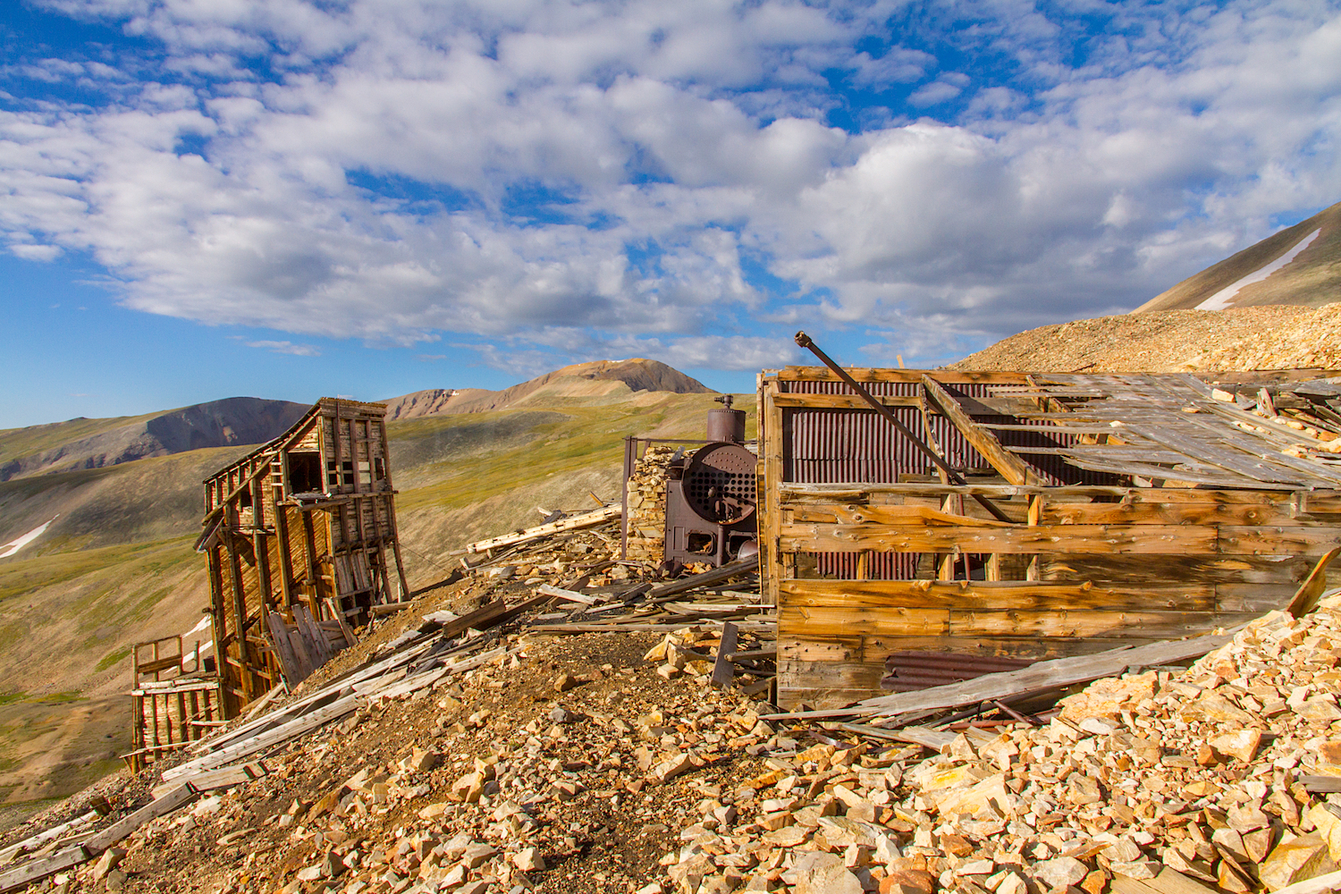
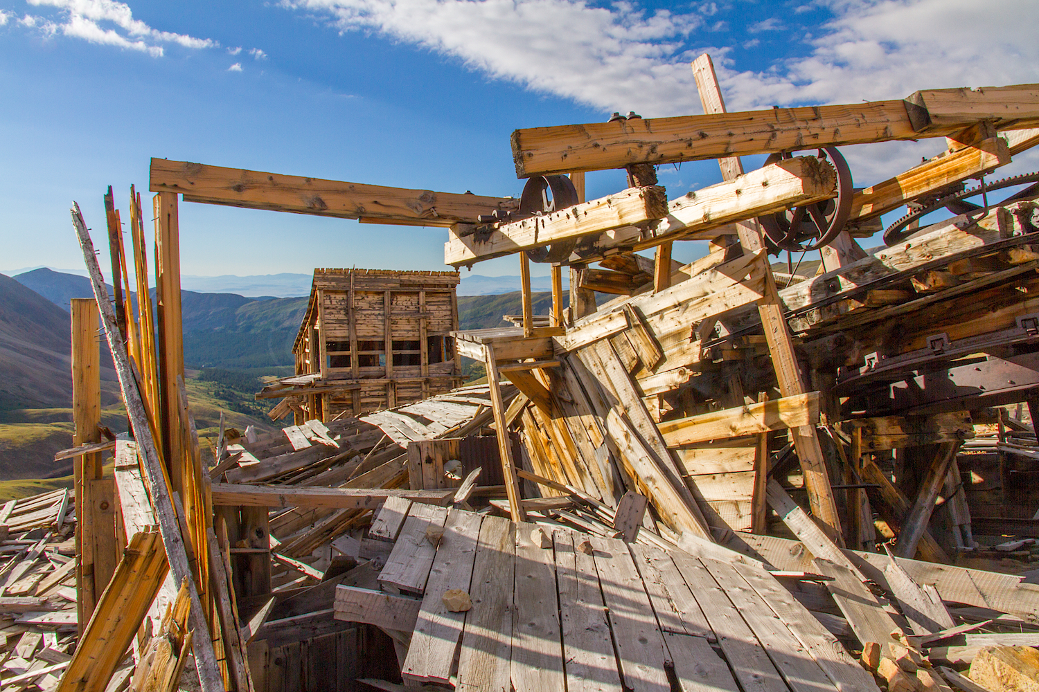
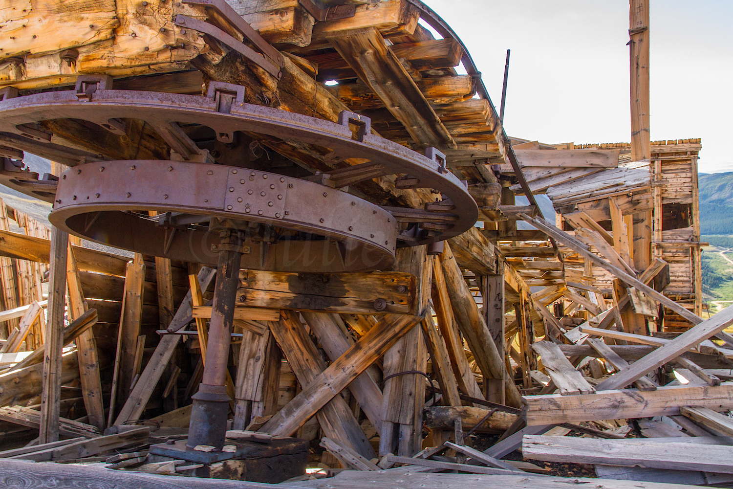
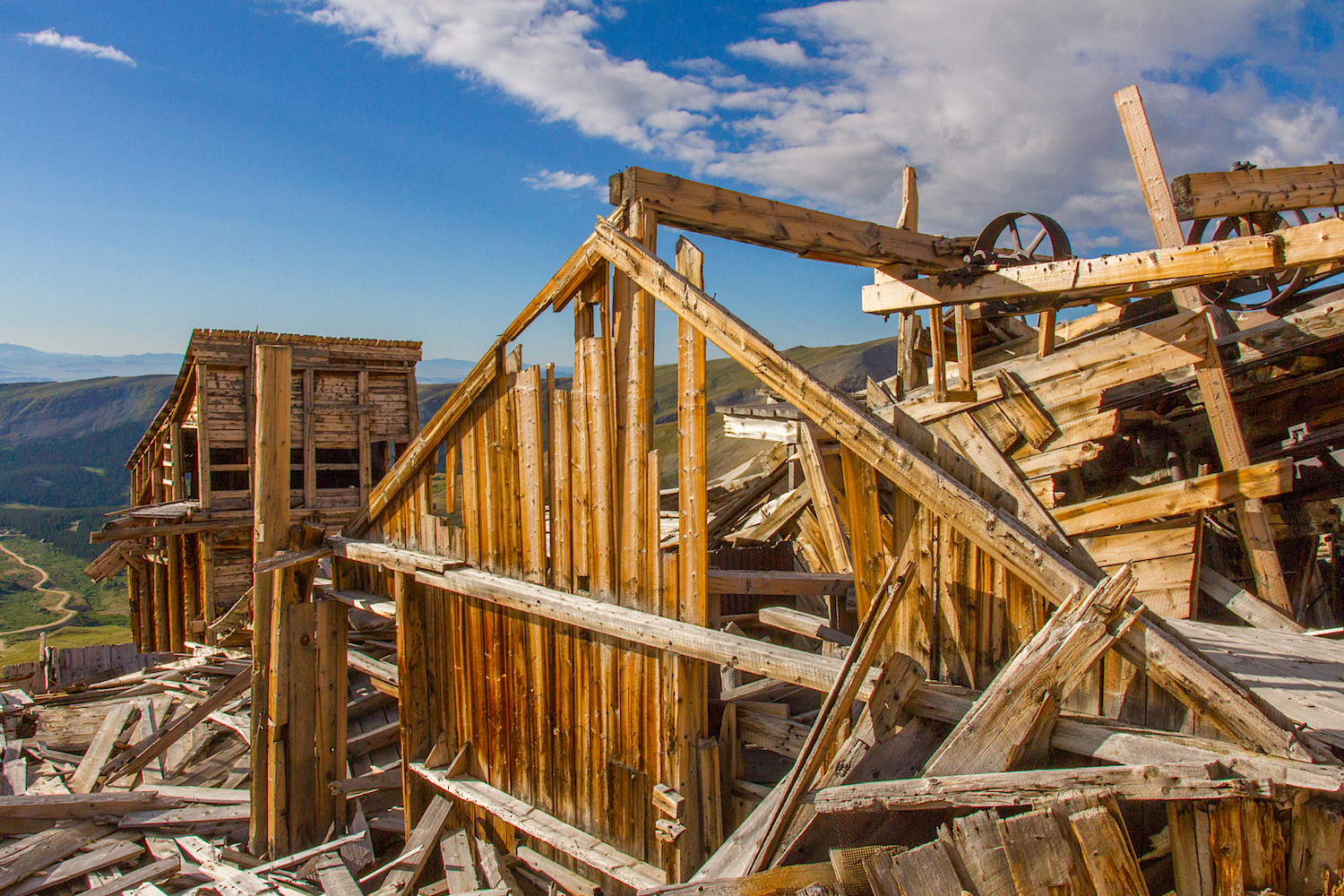
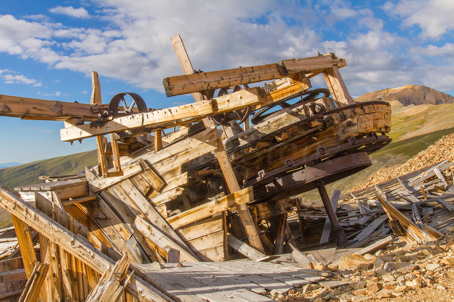
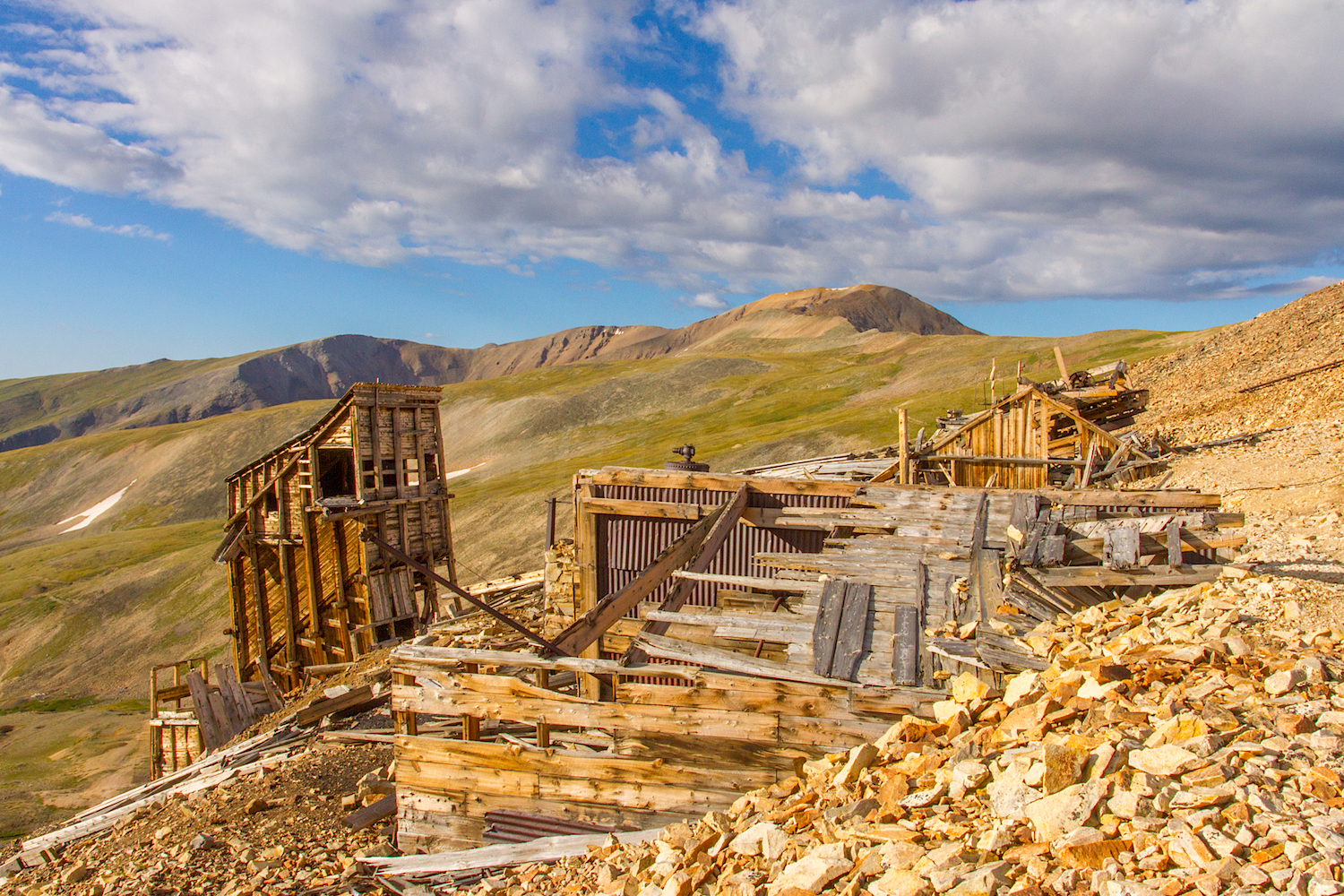
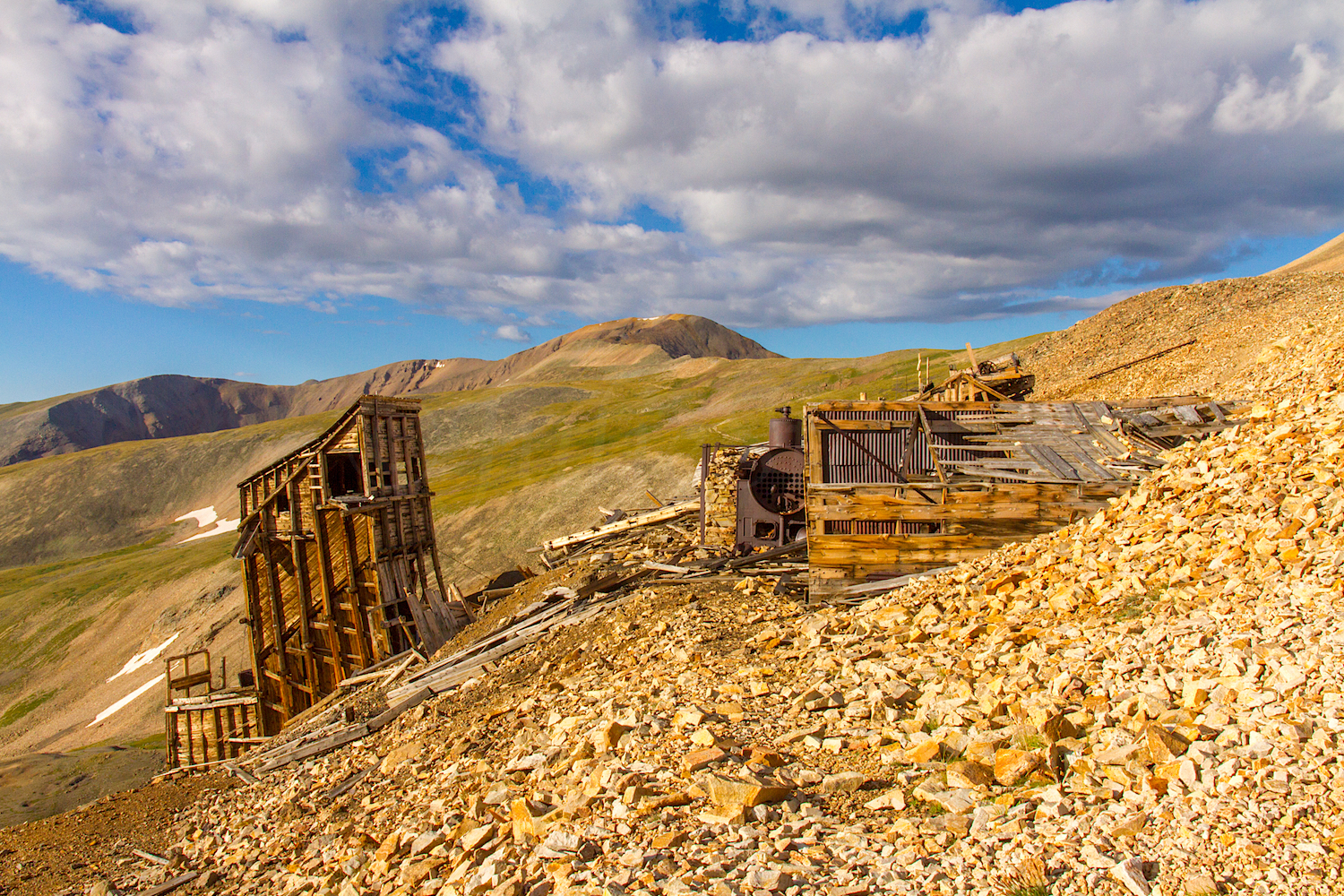
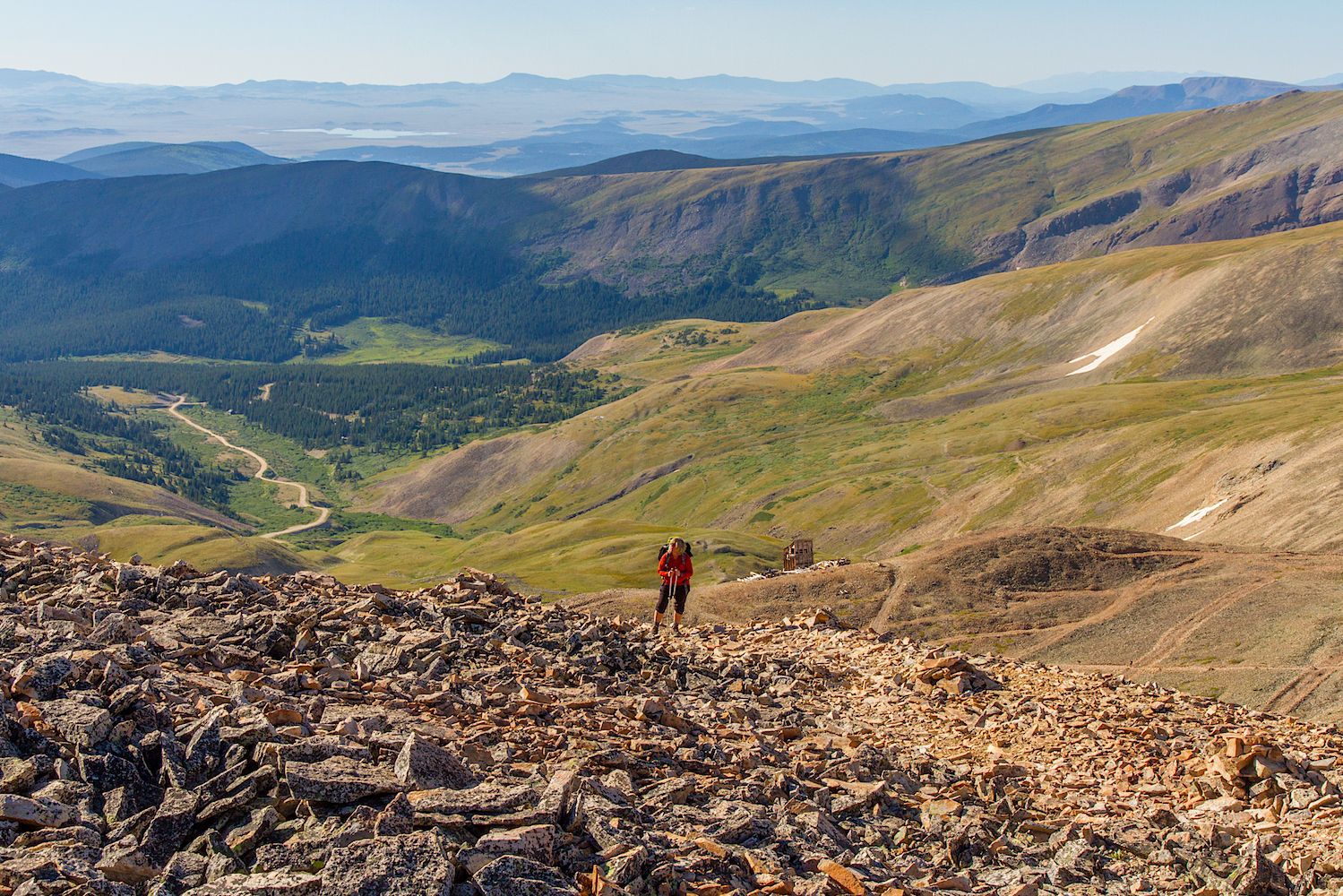
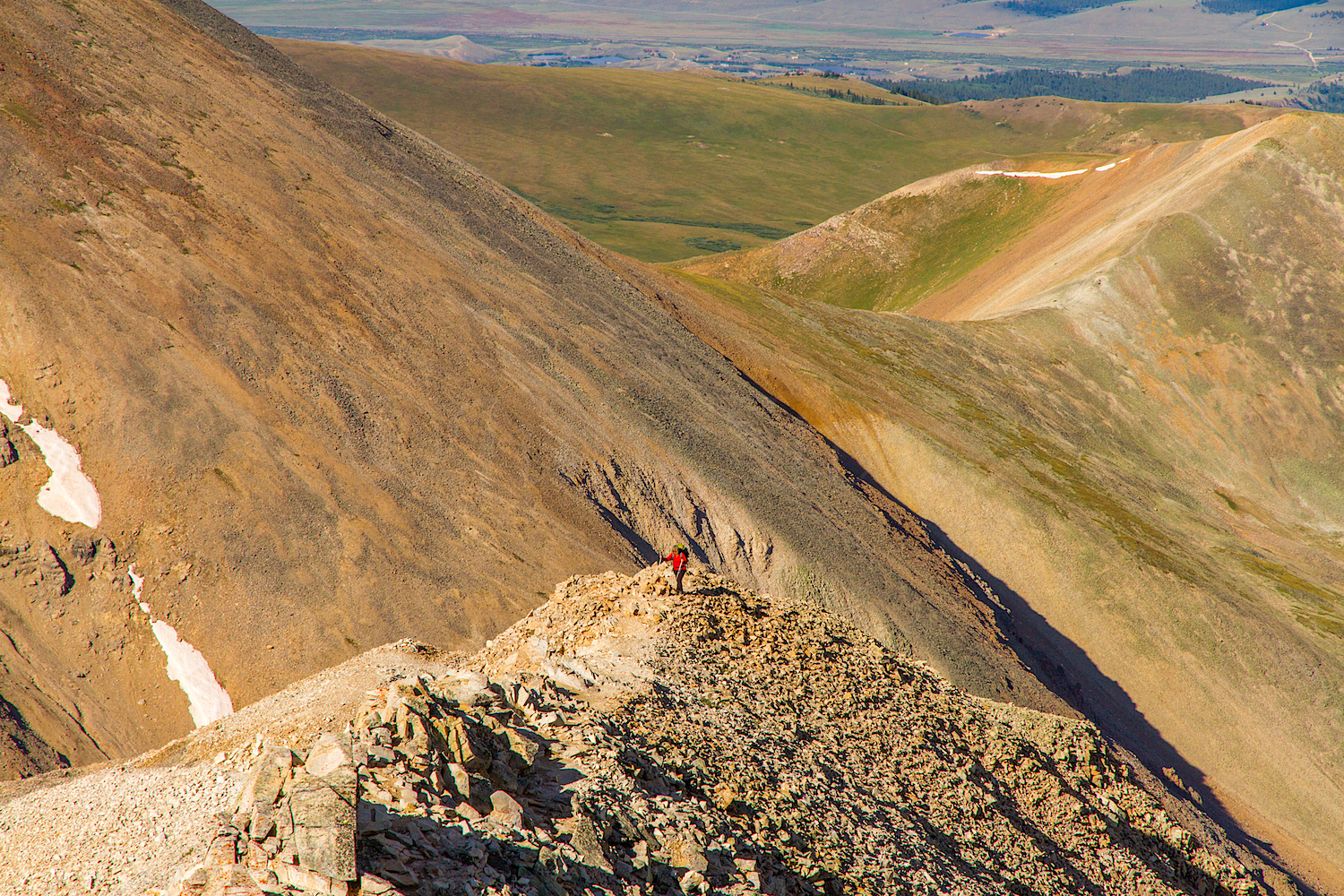
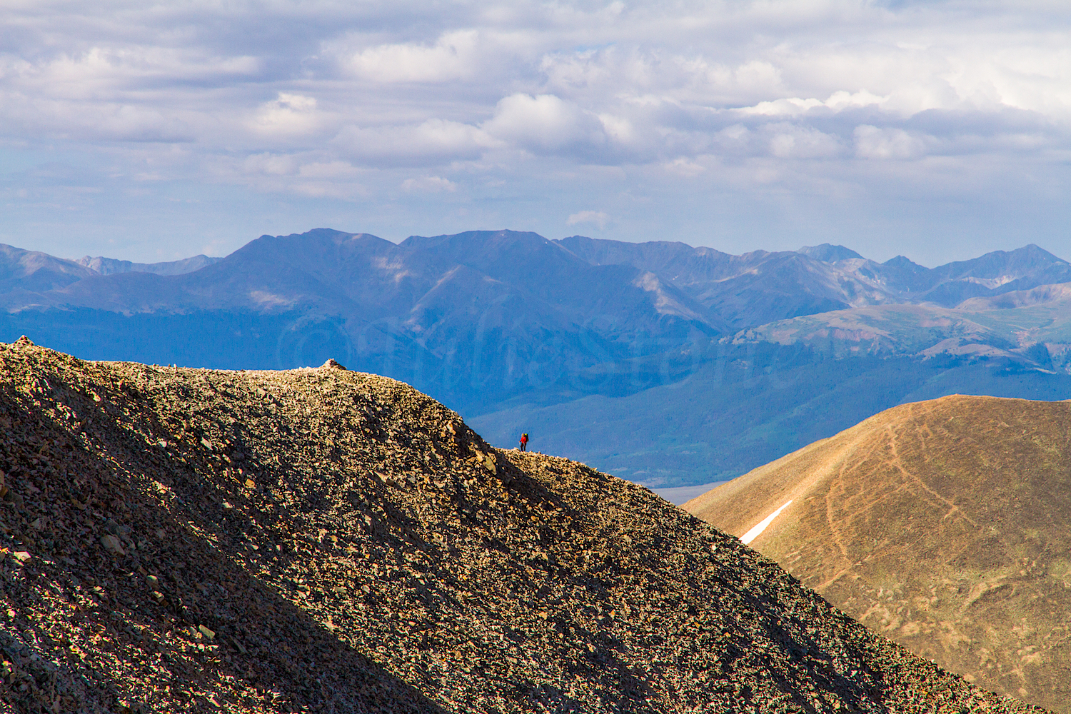
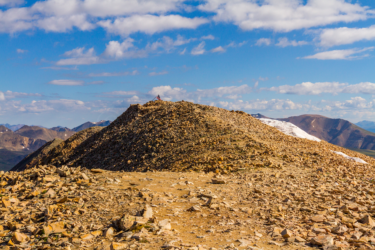
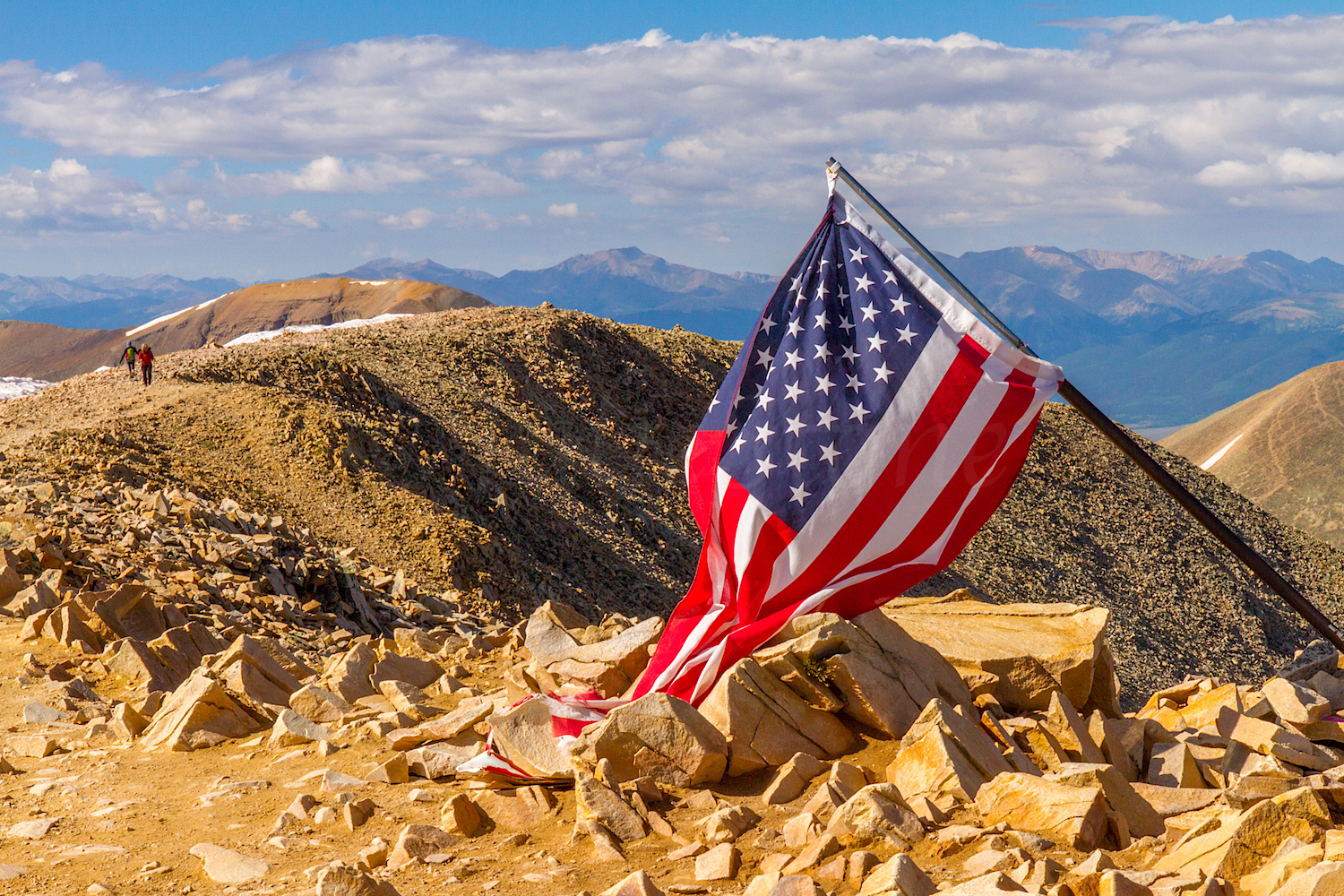
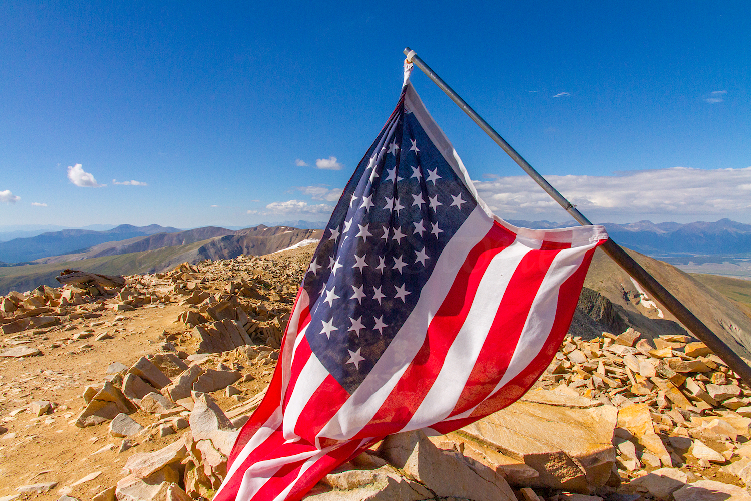
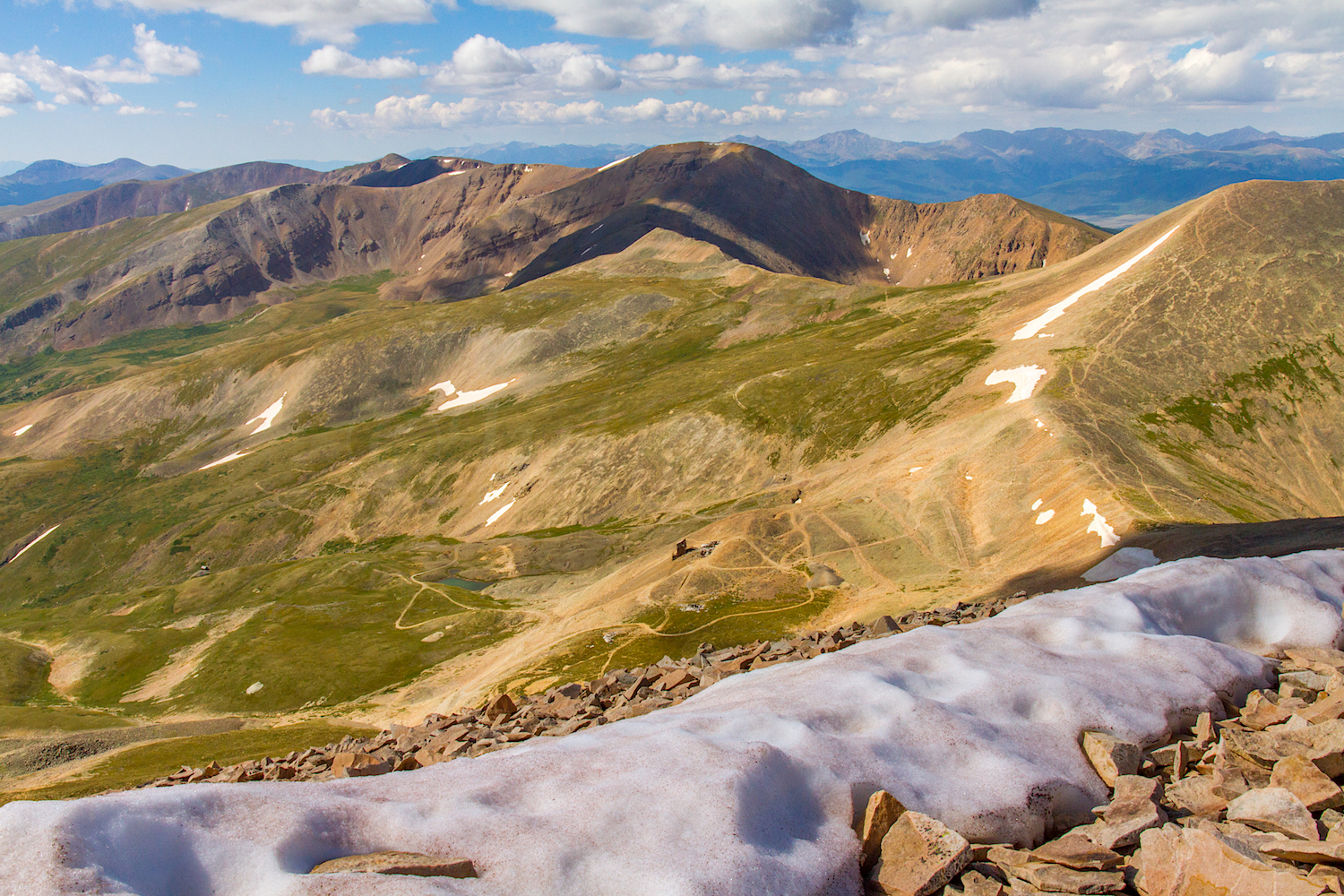
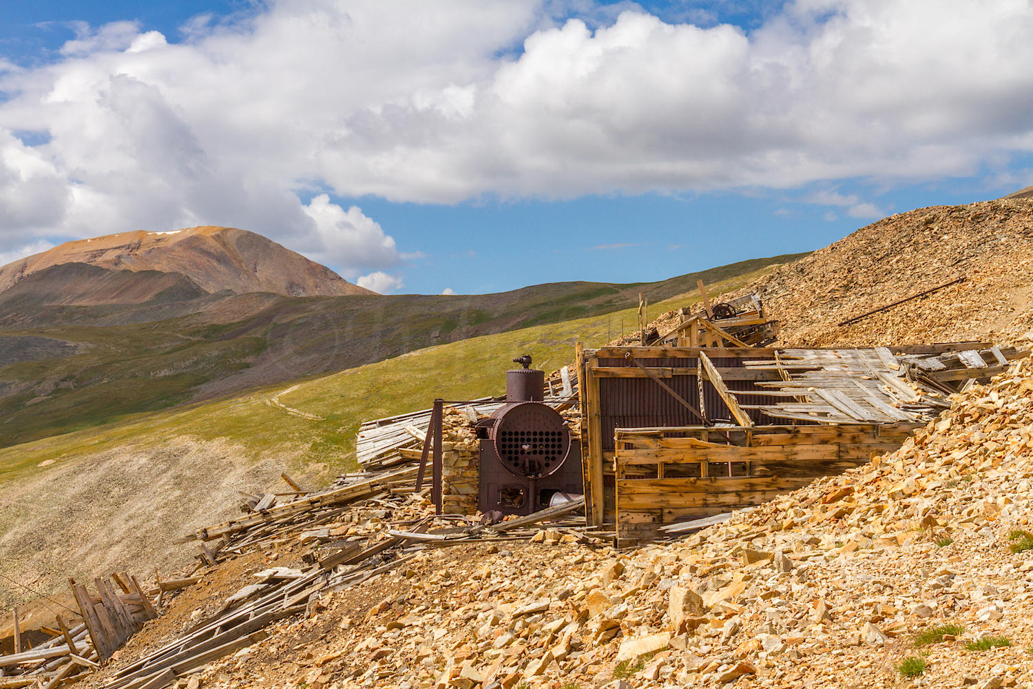
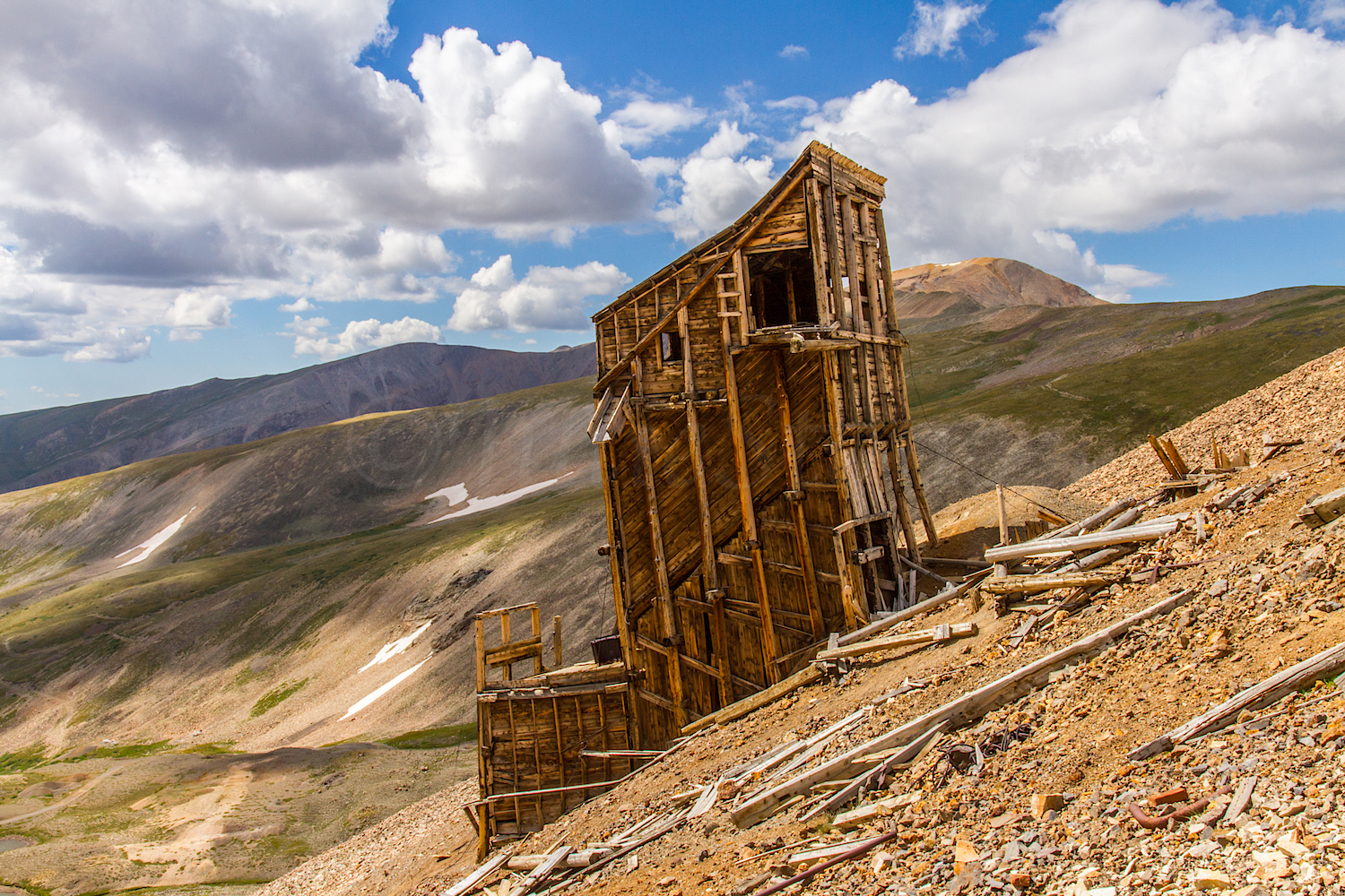
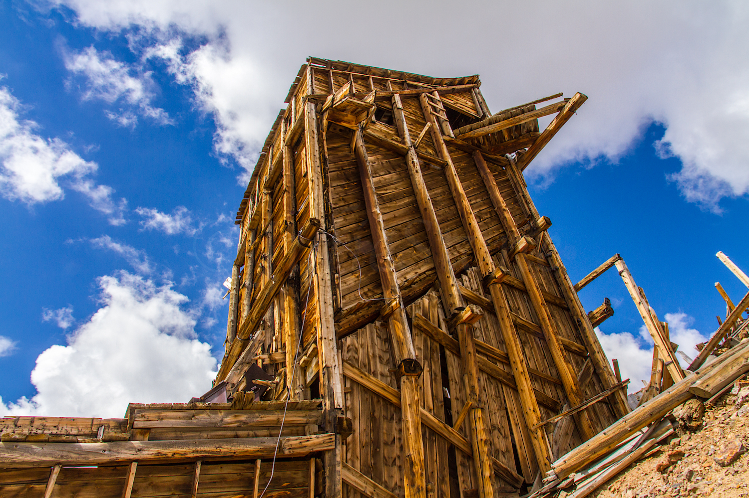
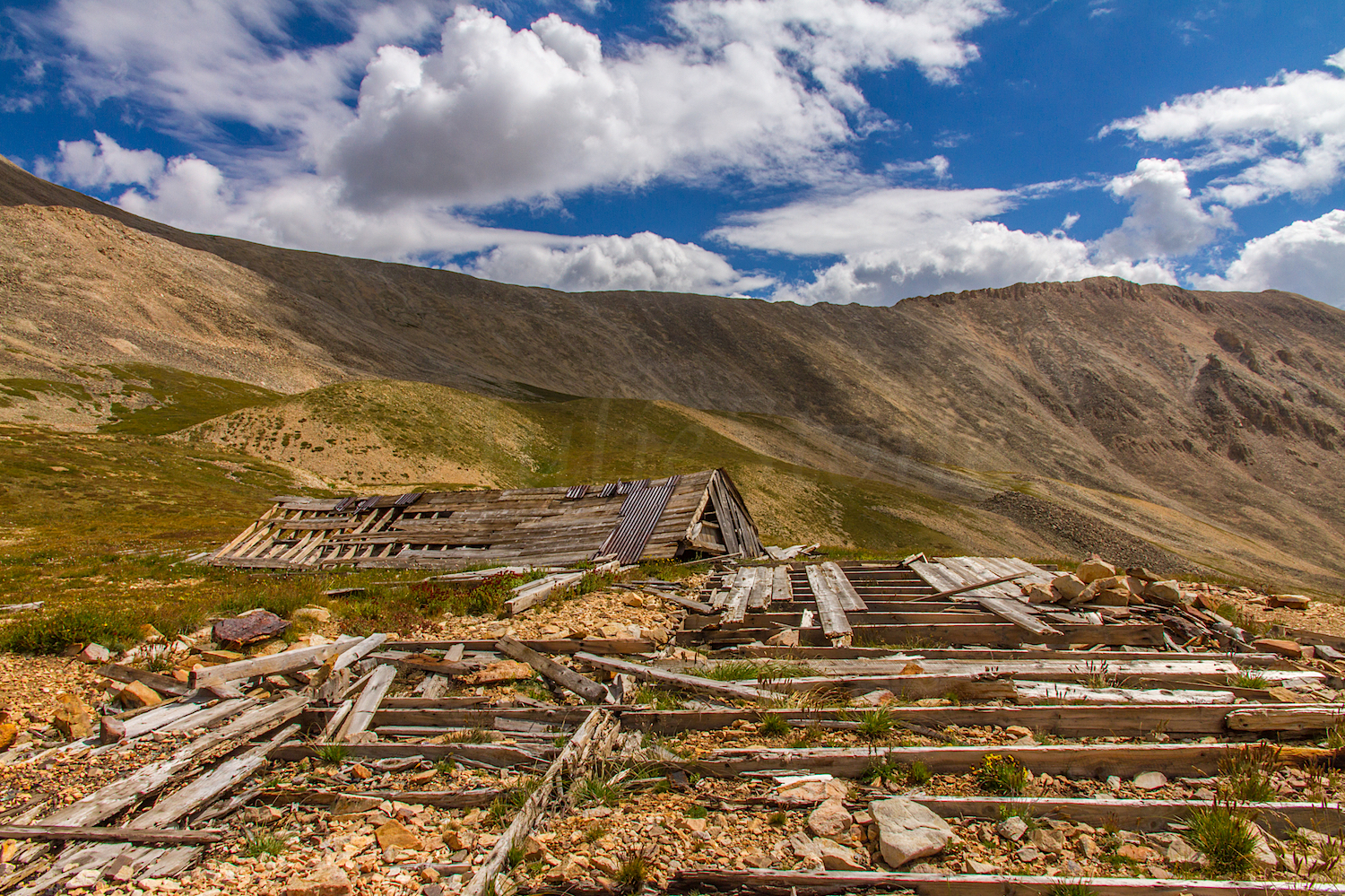
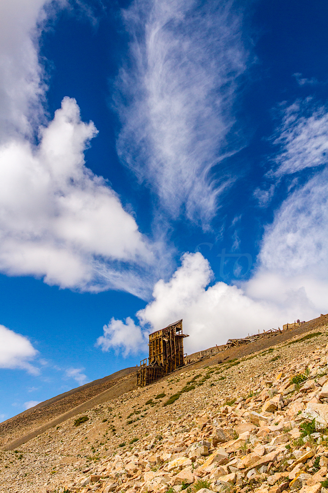
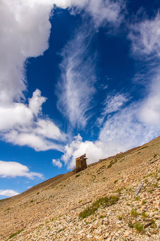
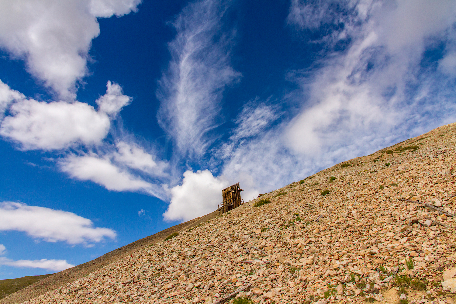
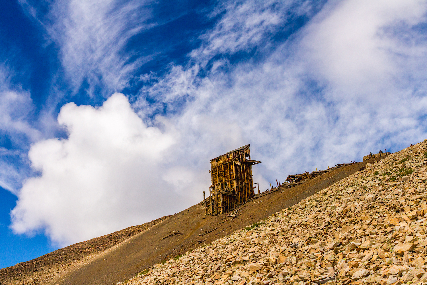
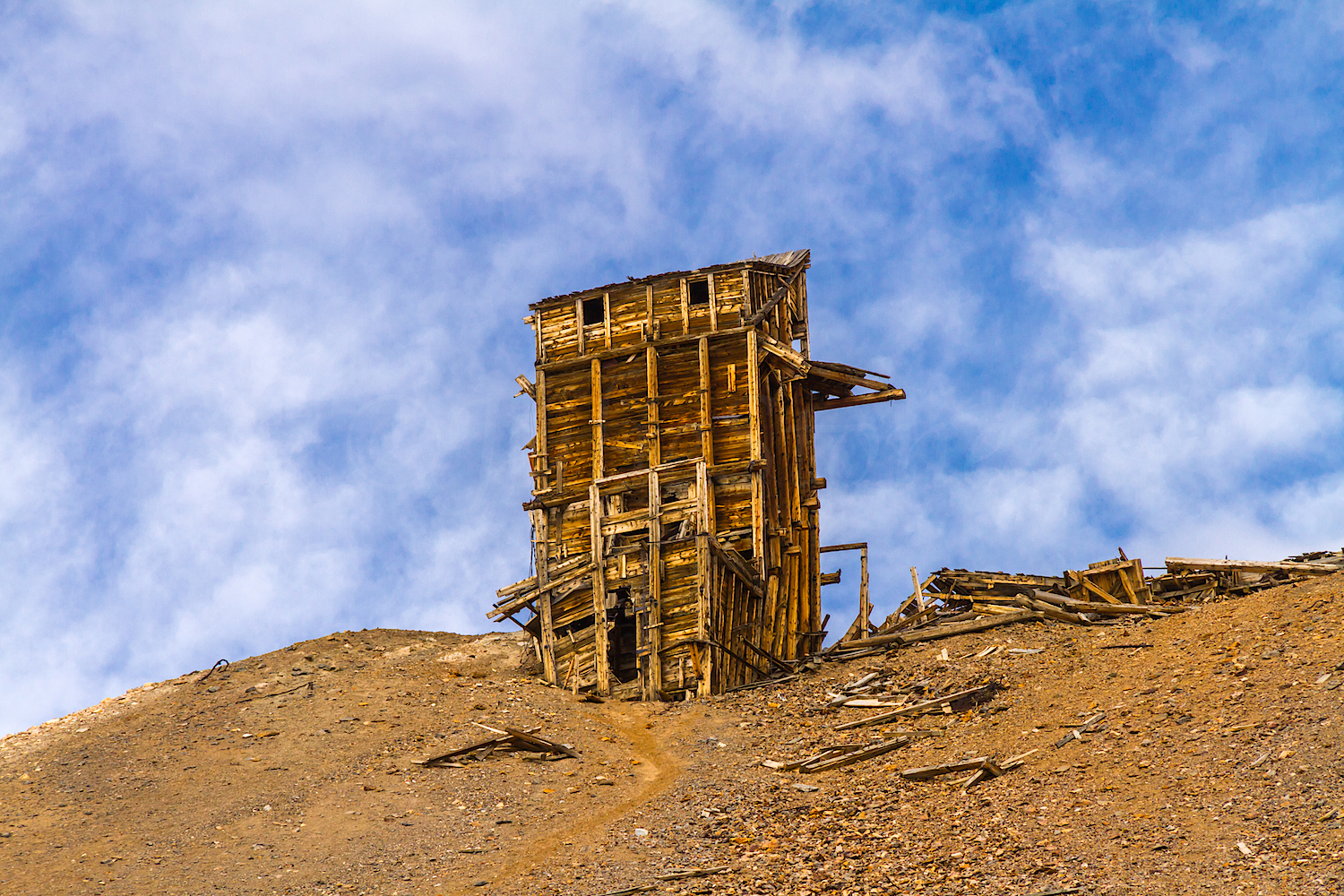
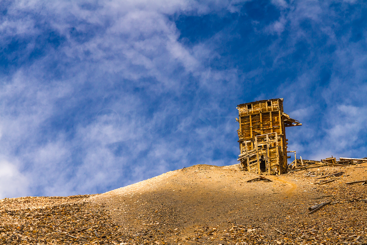
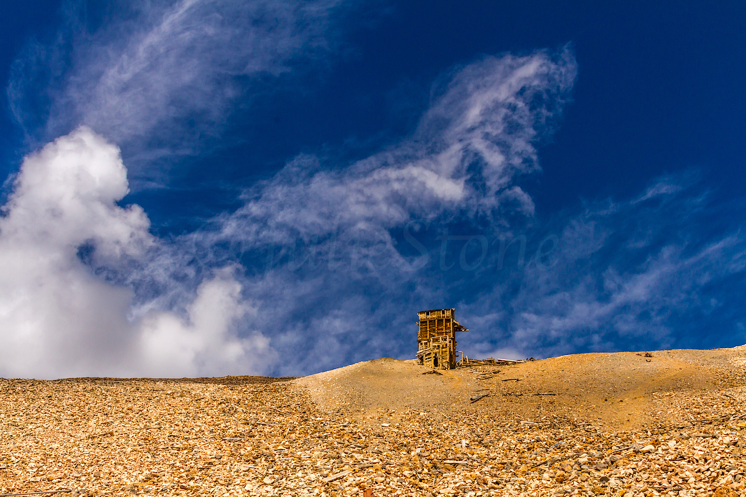
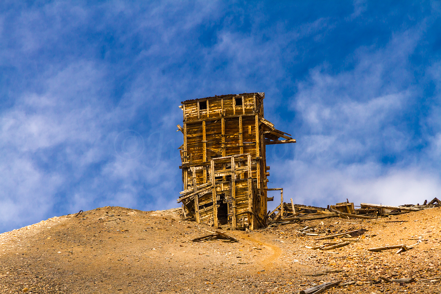
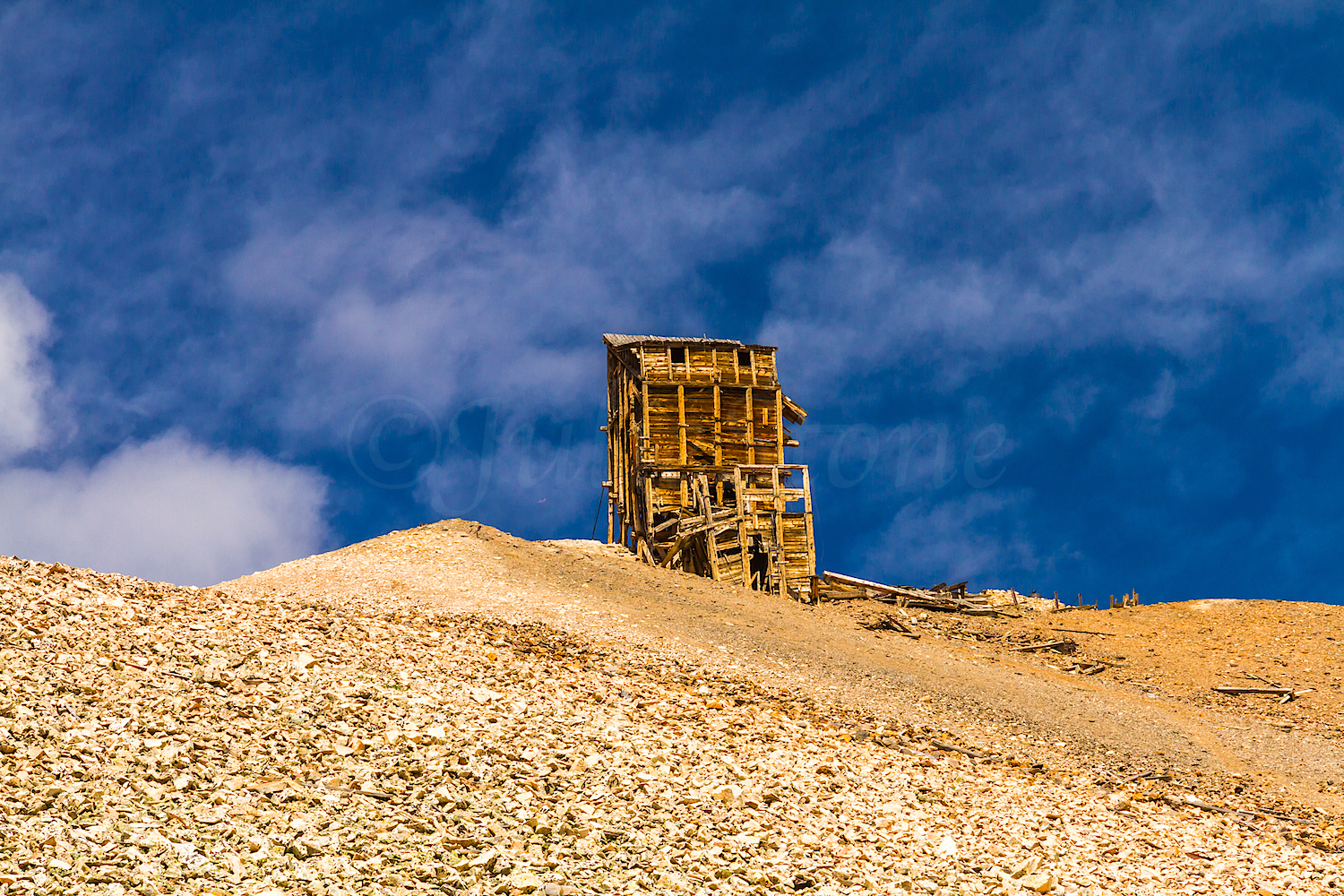
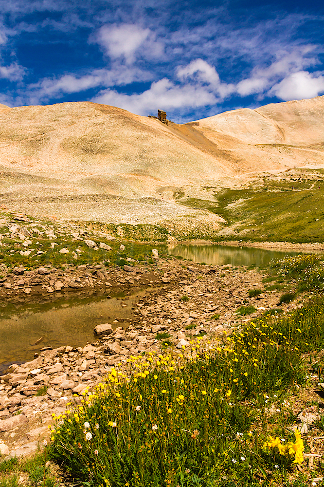
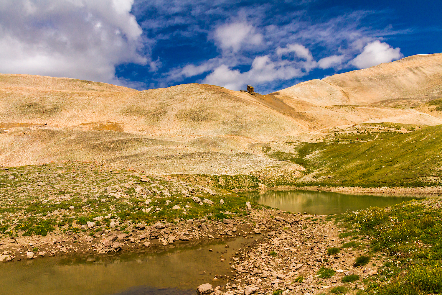
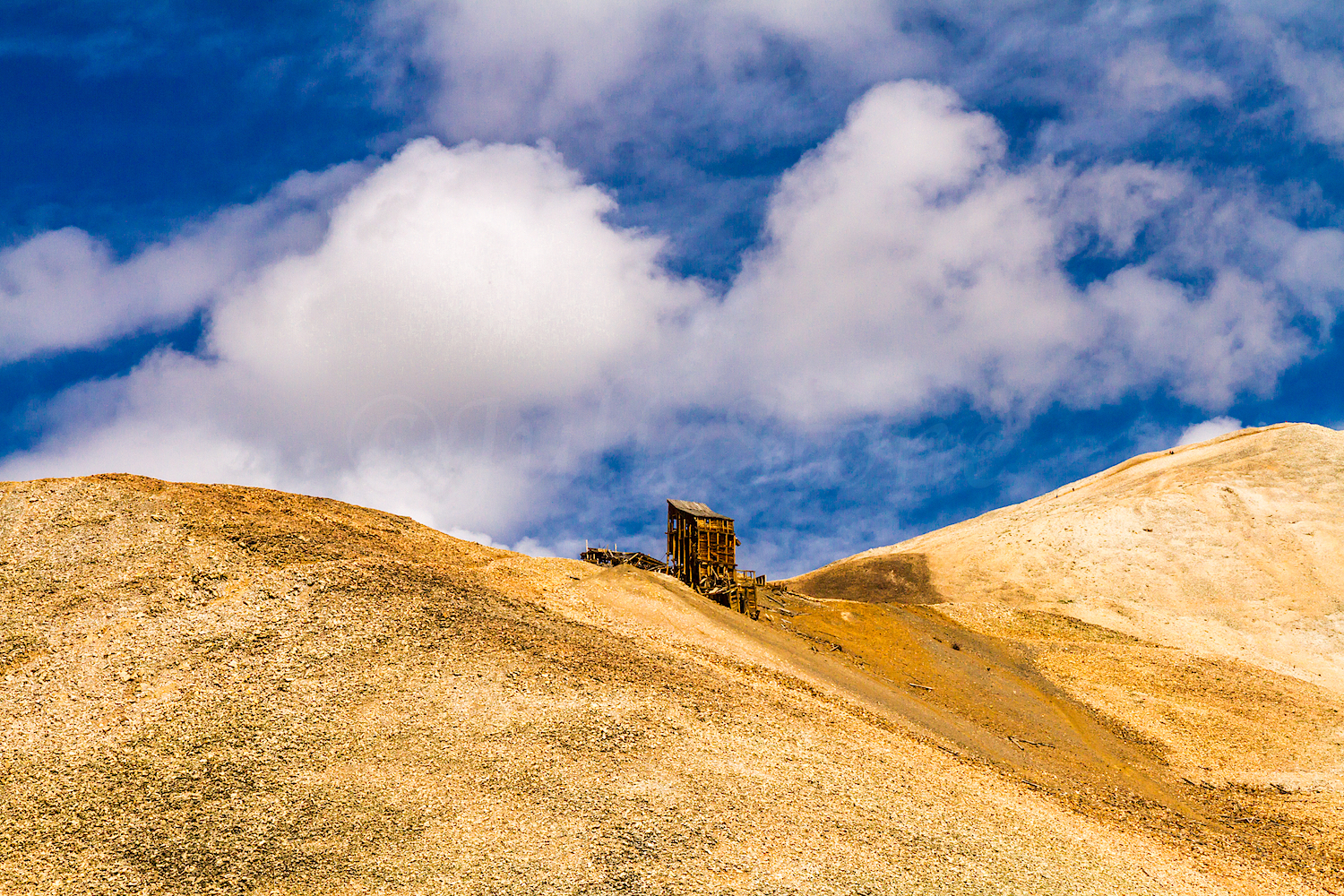
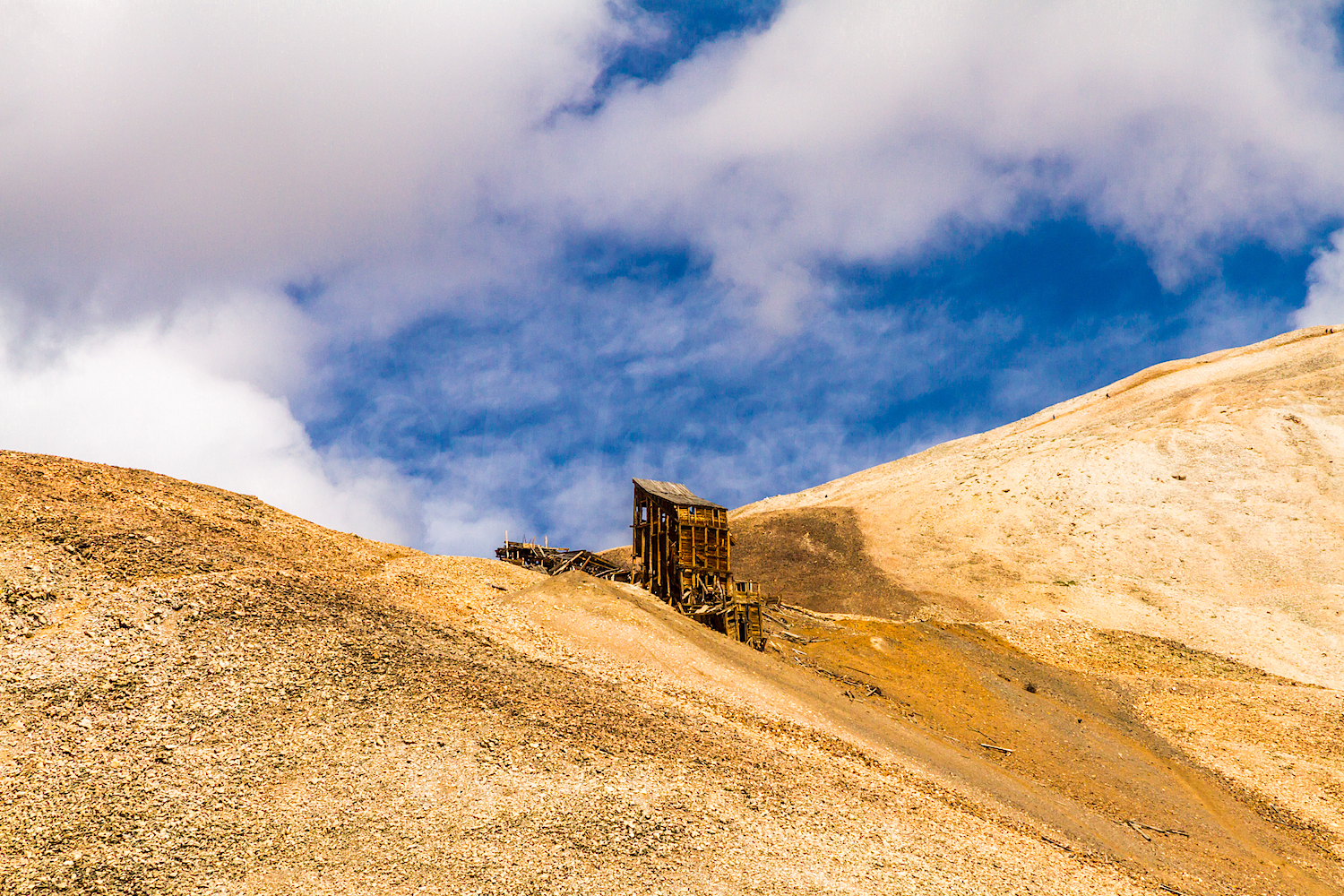
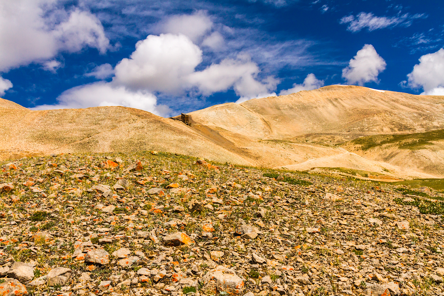
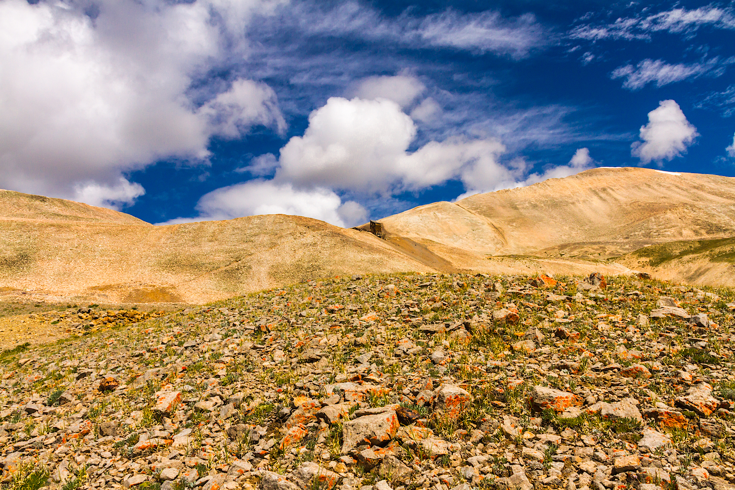
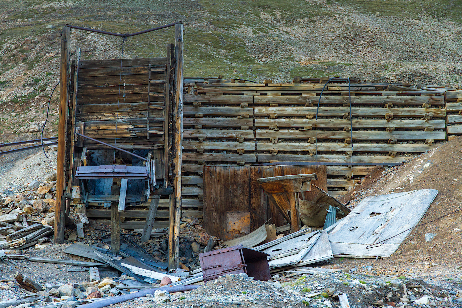
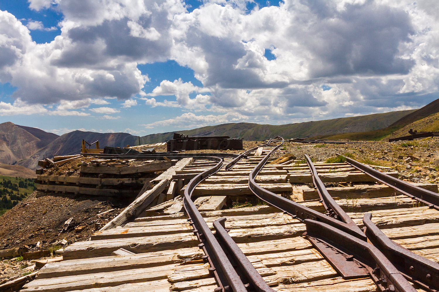
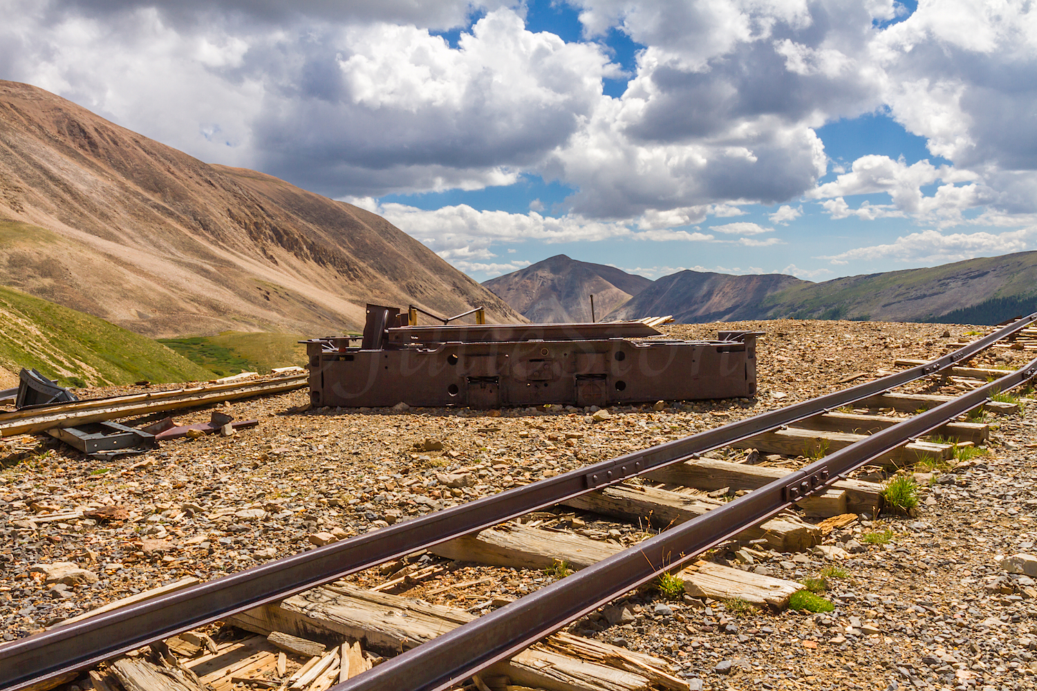
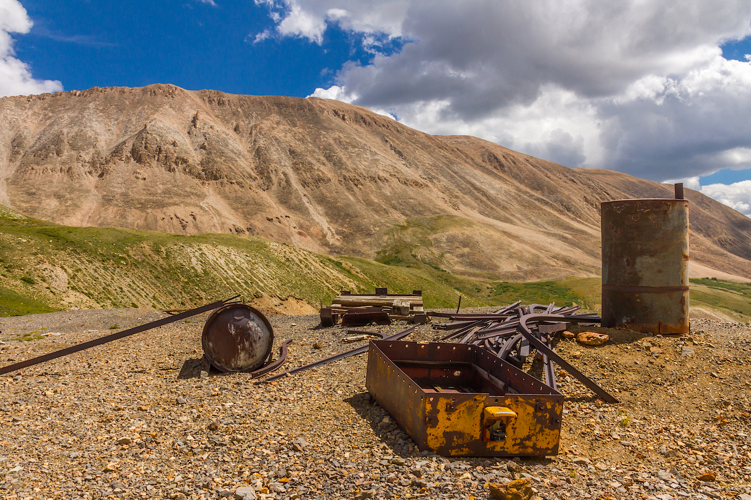
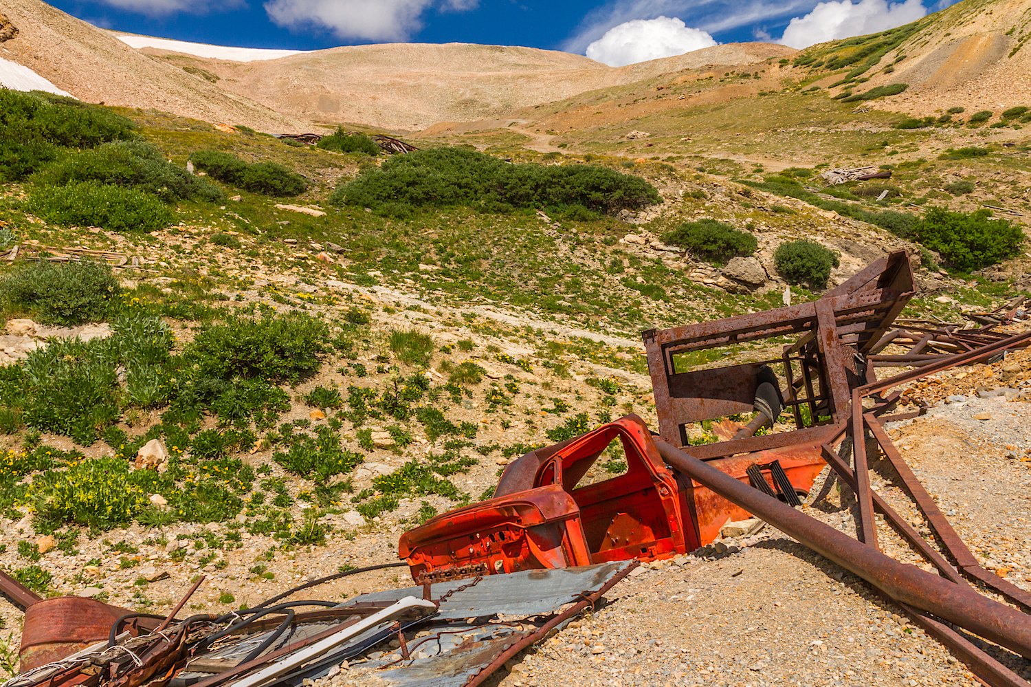
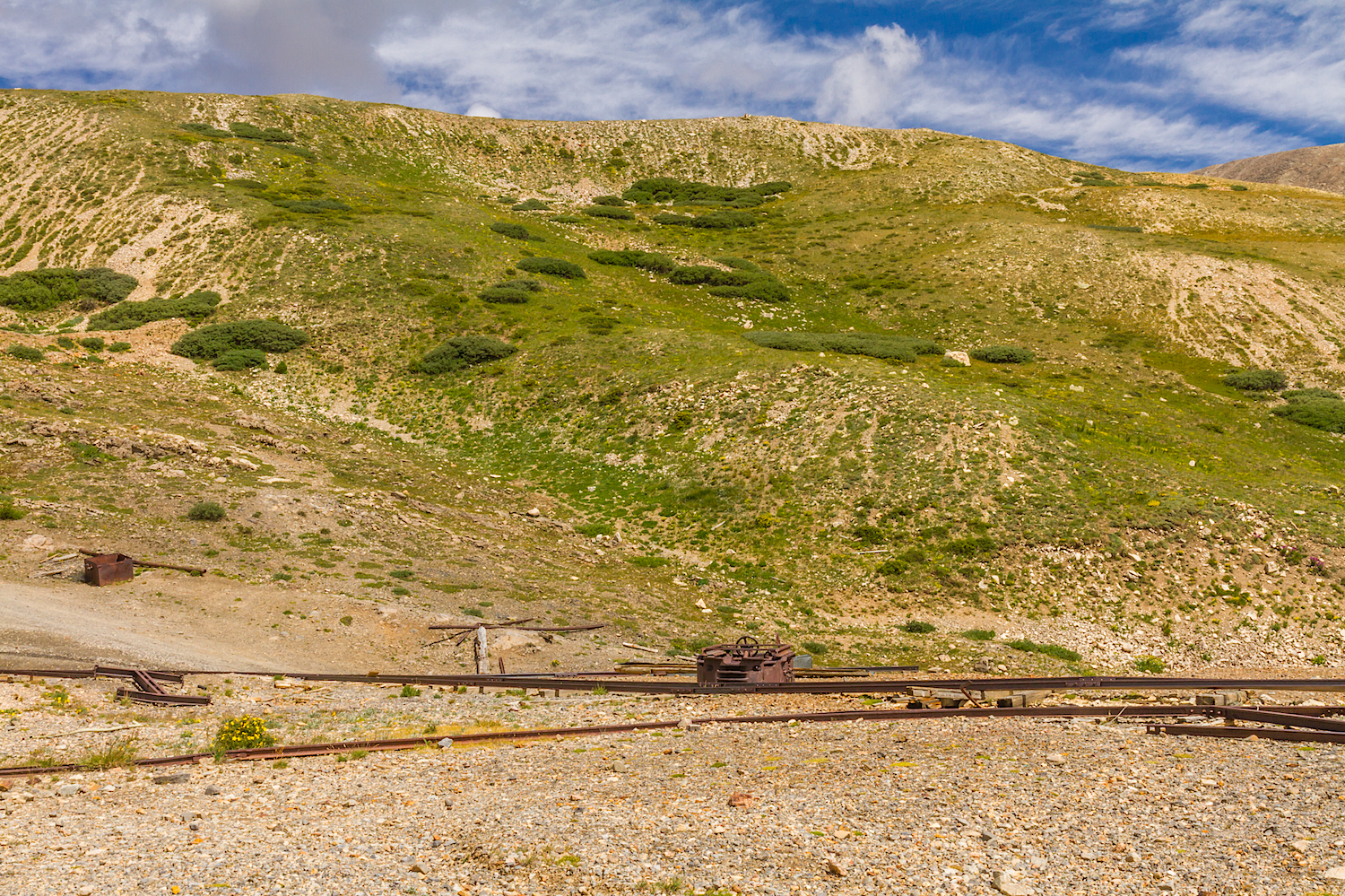
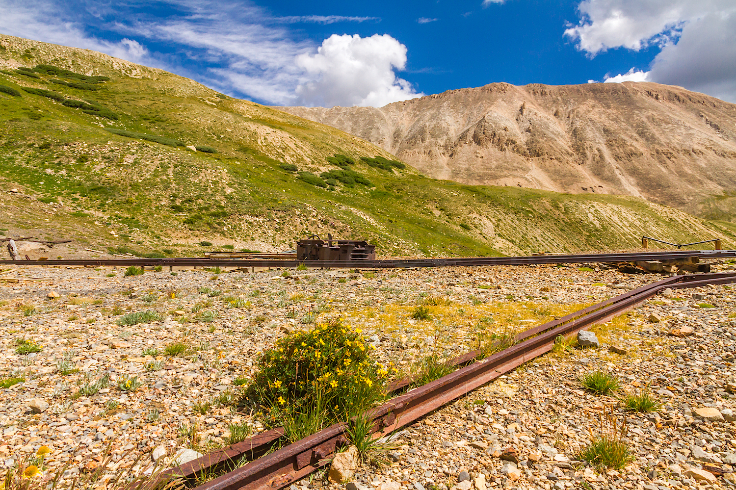
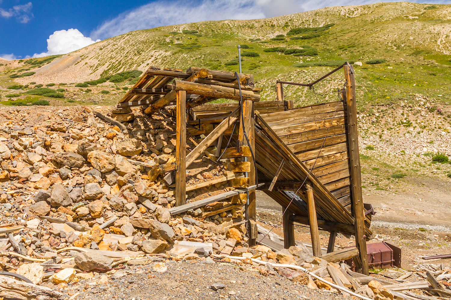
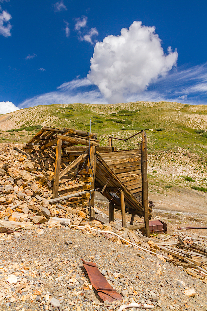
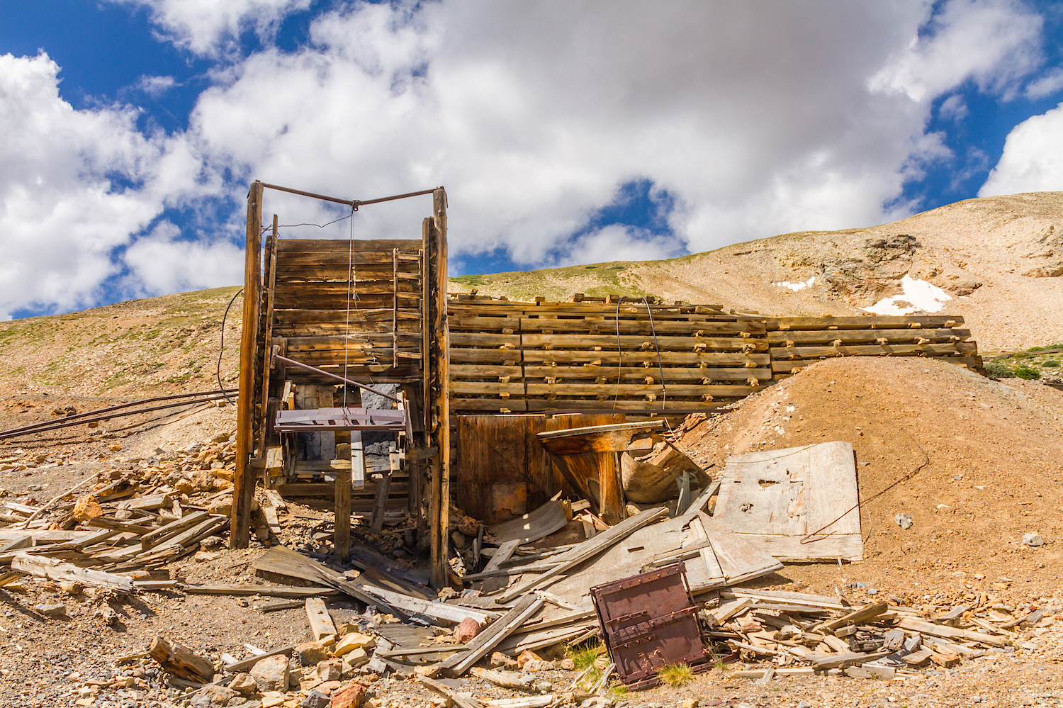
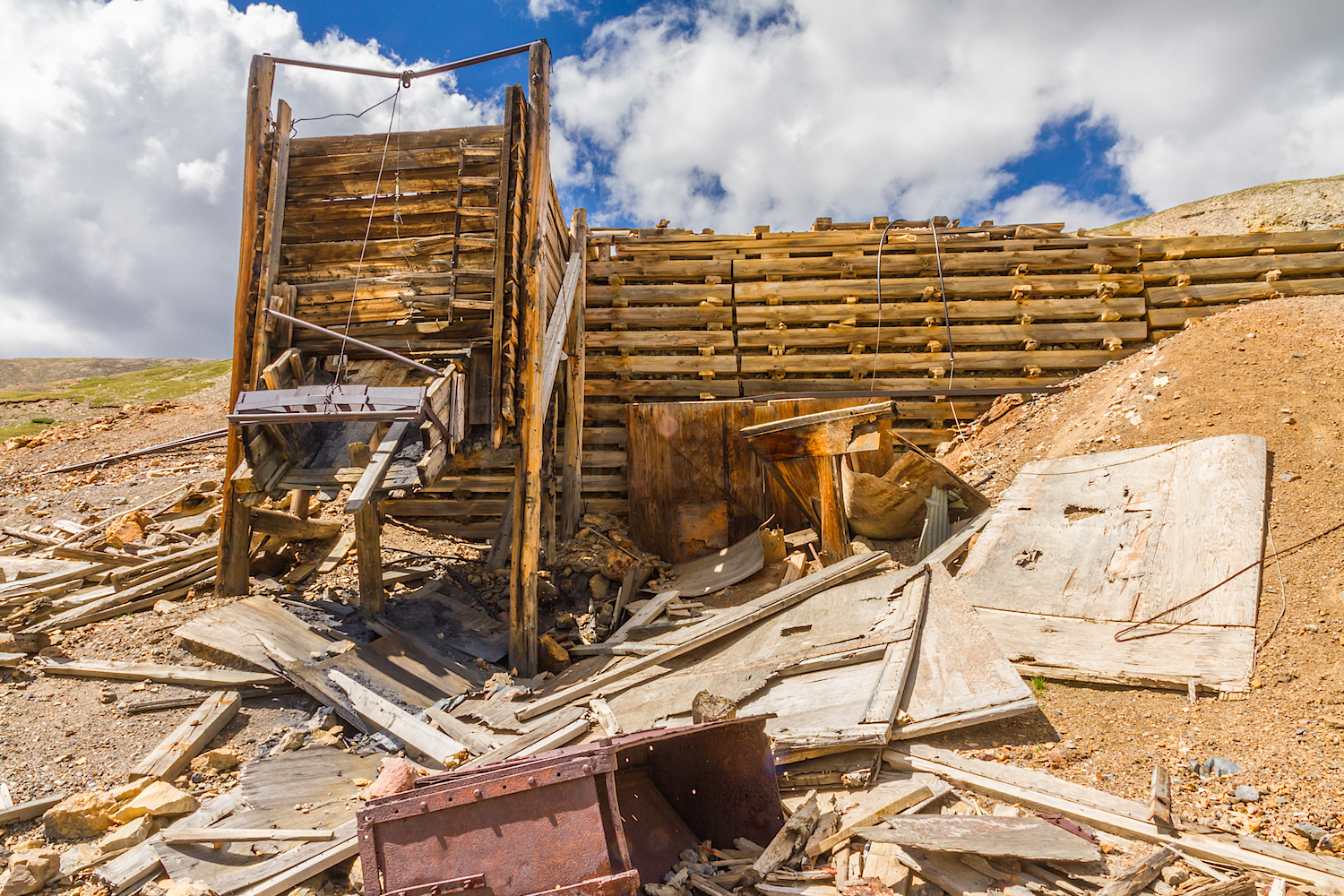
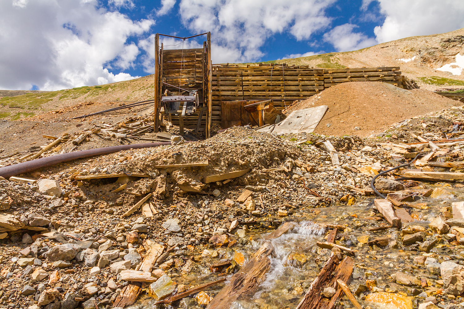
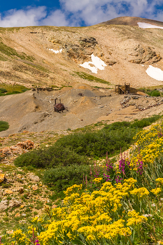
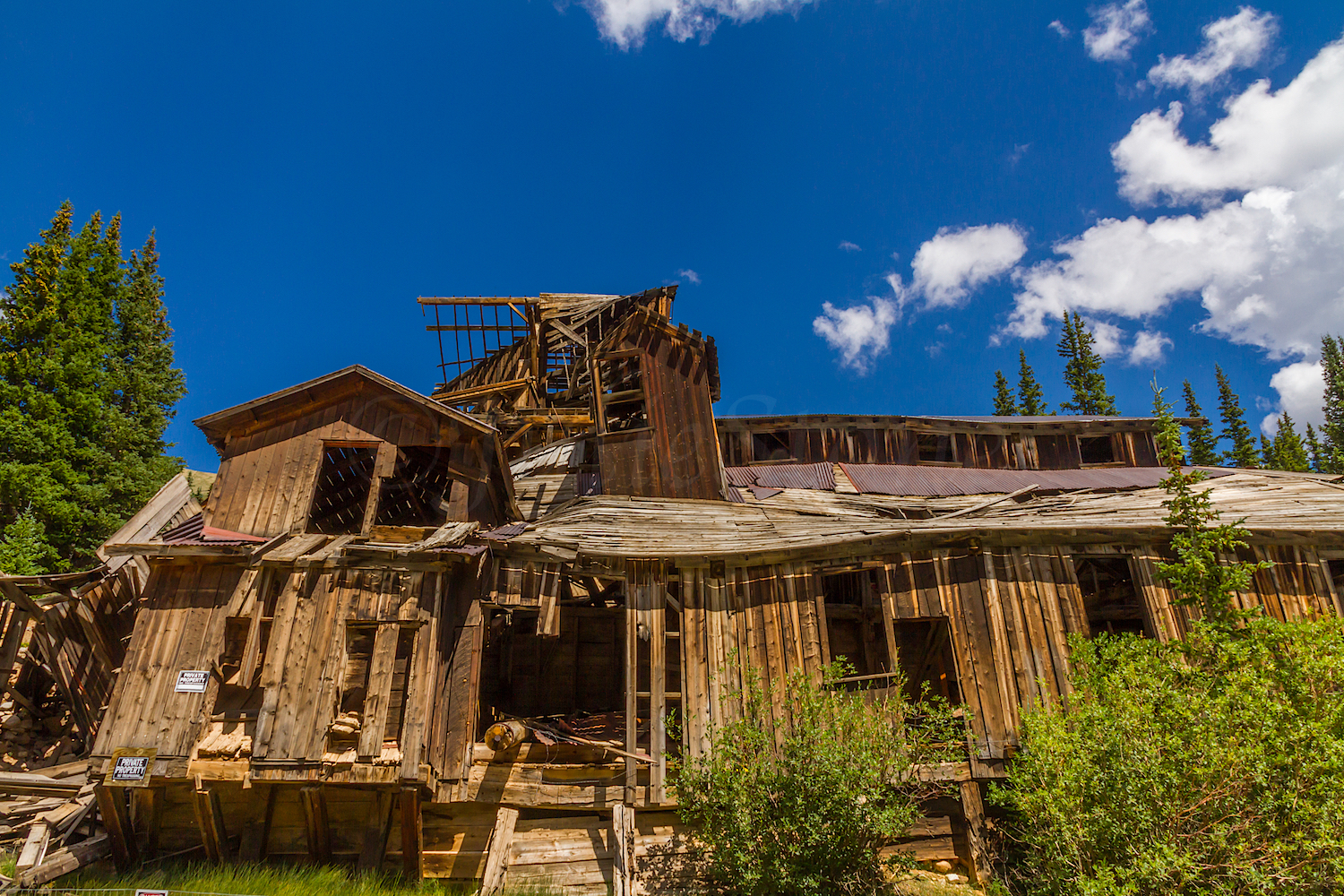
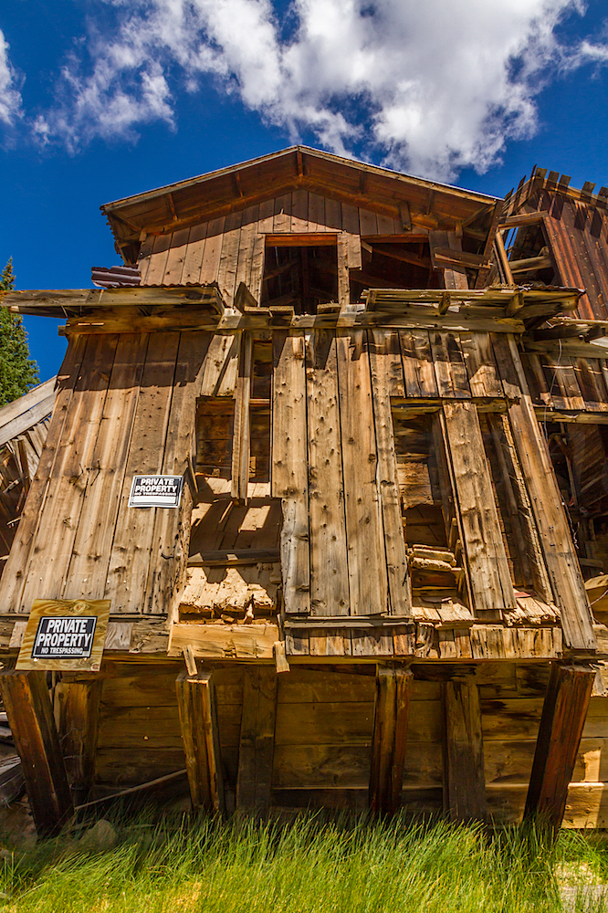
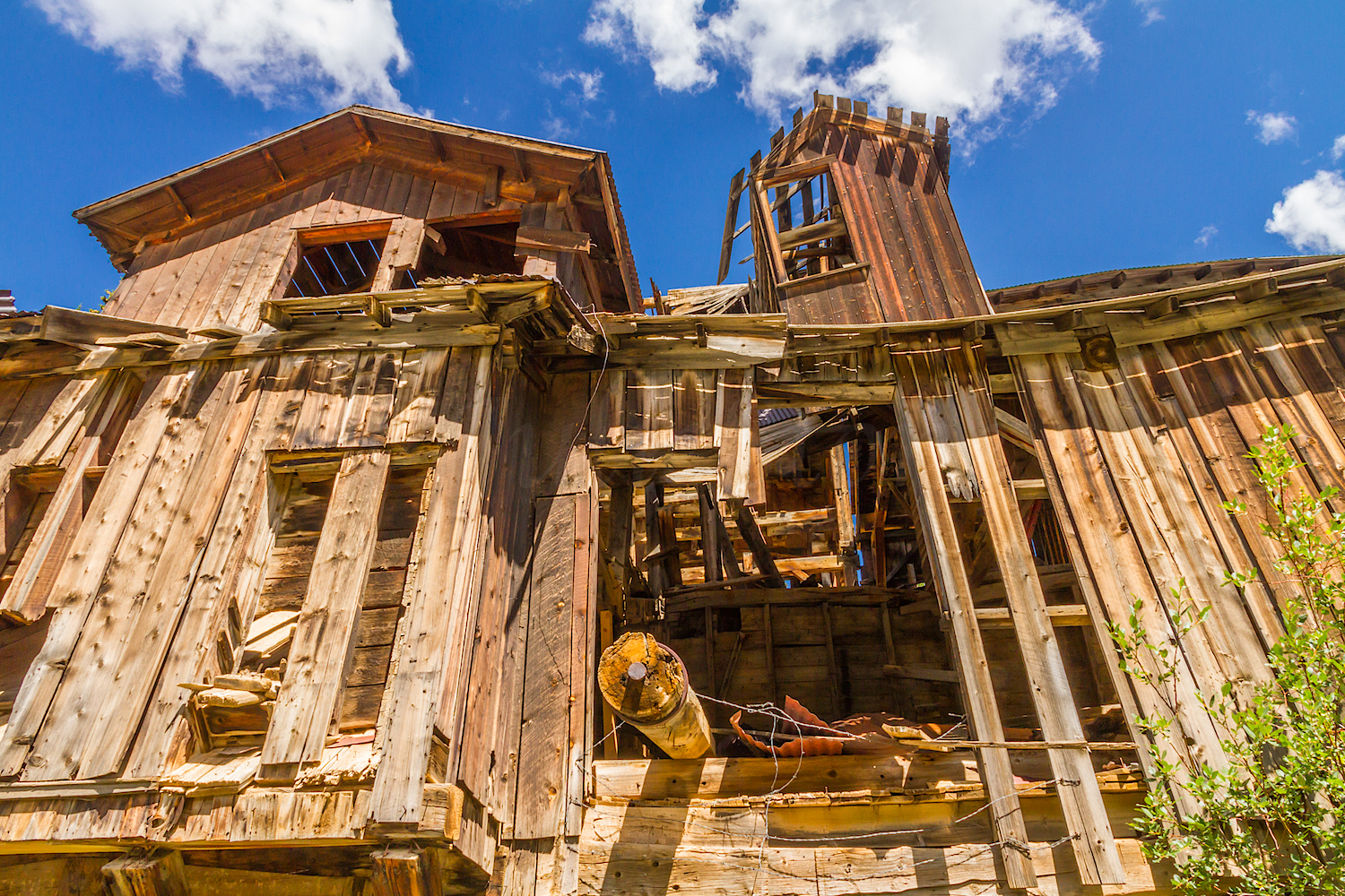
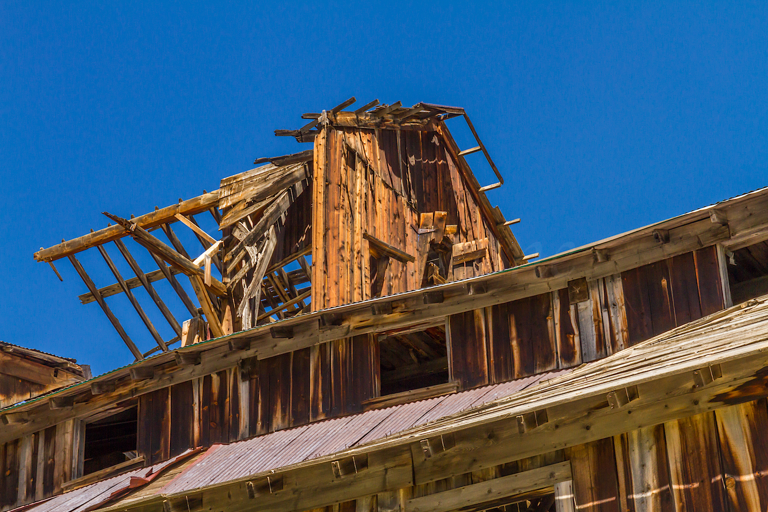
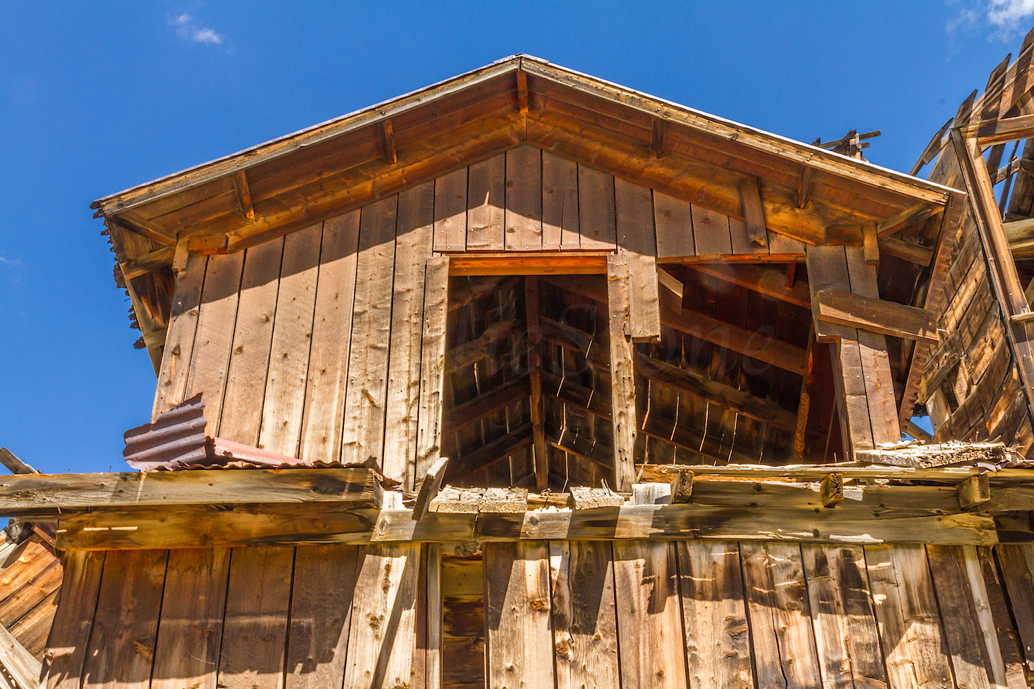
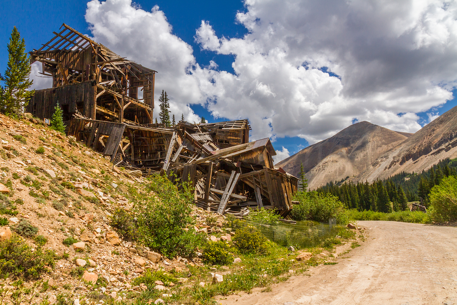
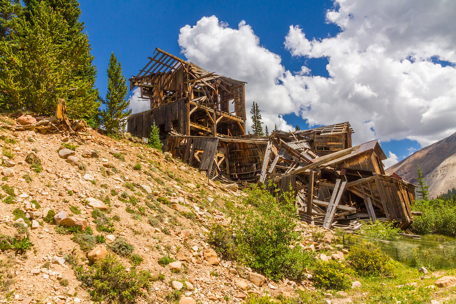
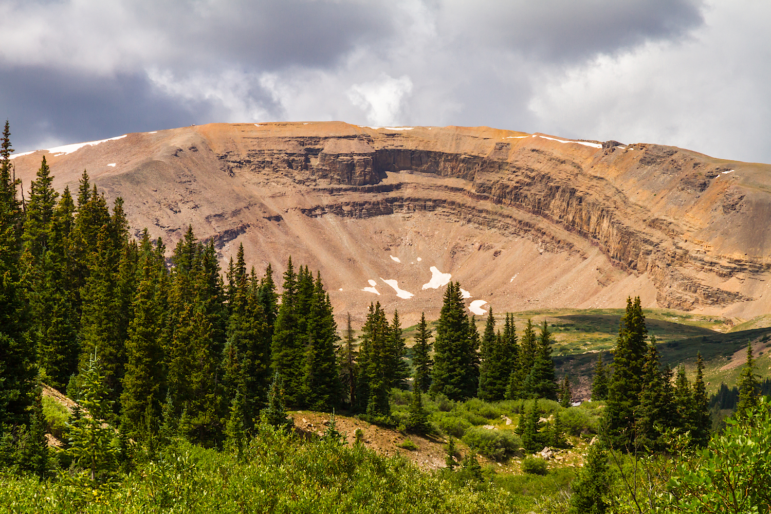
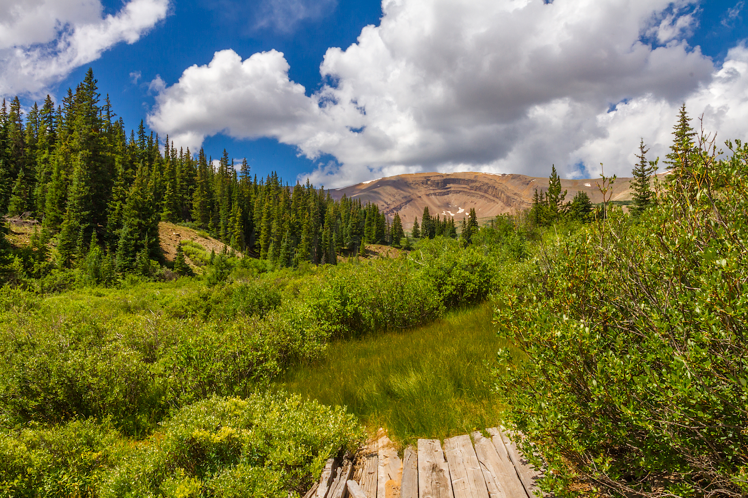
On August 9, 2016 at 5:30 am, Zarita and I left the warmth of our hotel room in Fairplay, Colorado and drove south on US 285 to County Road 18 heading towards the Mount Sherman Four-Mile Creek Trailhead. Approaching our destination, we were treated to a beautiful sunrise on Horseshoe Mountain 13,905'. Viewed from the South Park Area, the Horseshoe Mountain cirque is reported as being "a beacon and the outstanding geographical feature of the Mosquito Range". We drove past the Leavick Mine Site, 11,250' and parked at the 12,000' gate. From there, we hiked up the road past the Dauntless Mine, 12,300" and many other old mining relics. Continuing further up the road, we watched the sunrise on the old Hilltop Mine that sits on a 12,900' talus slope just below the saddle between Mt Sheridan and Mt Sherman. We found this structure fascinating and explored it more closely later in the day. Shortly after passing by the Hilltop Mine, we followed the cairns that lead up the slope to the saddle between Mt Sheridan and Mt Sherman. From this point, we started our steep climb up the rocky ridge and along the ridge crest which narrowed considerably the higher we hiked. To our surprise, when we reached the summit we saw the American Flag flying over the spectacular views of the surrounding peaks. In addition, someone had left larger paper stating: Mt Sherman 14,036' August 9, 2016 which we used when we had our summit photo taken by another hiker. The weather was perfect although there was the threat of afternoon storms so we enjoyed a quick snack, absorbed the 360 degree views and headed back down.