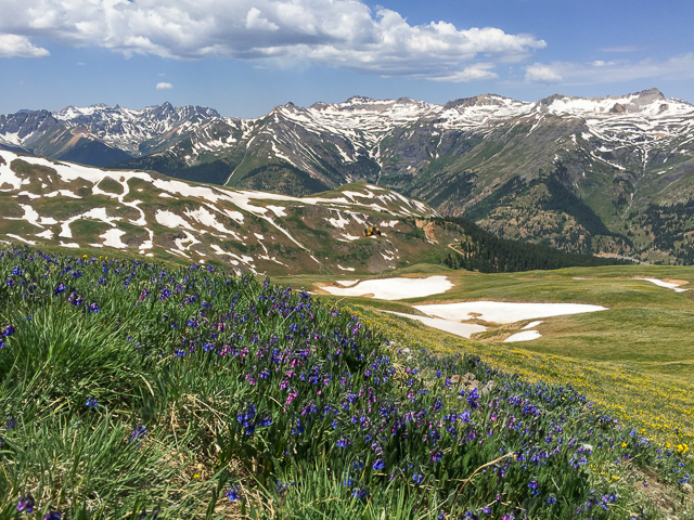
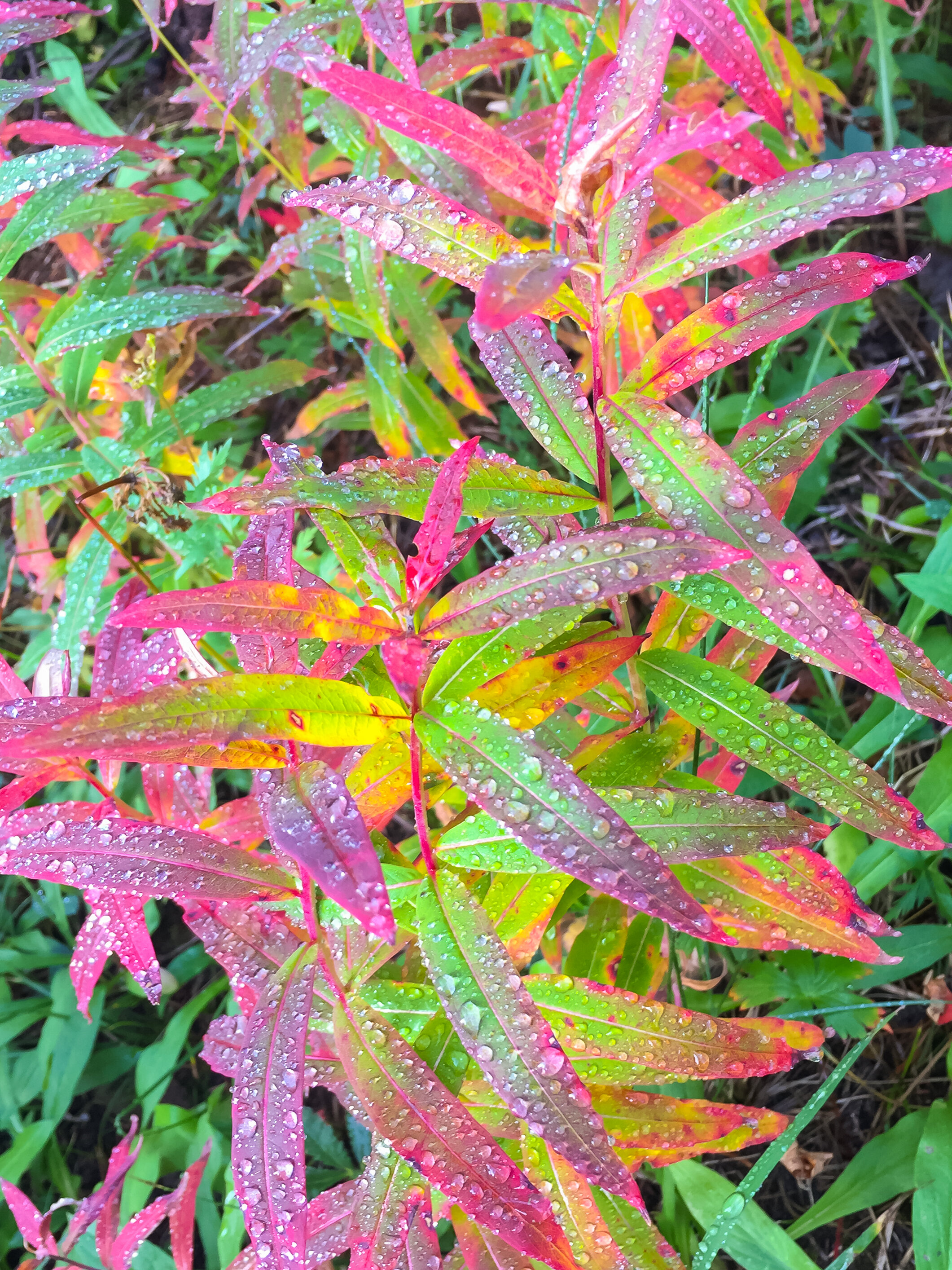
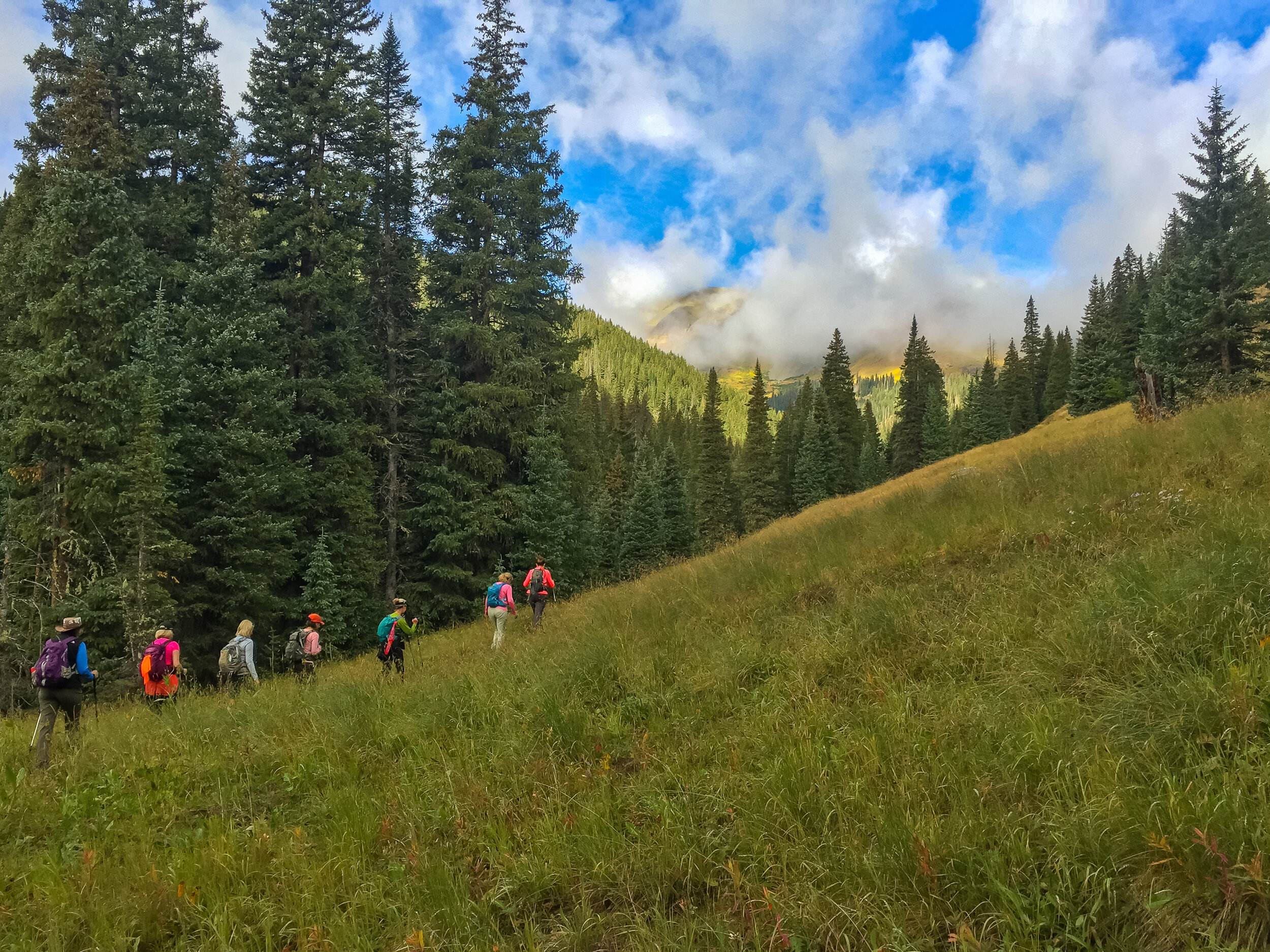
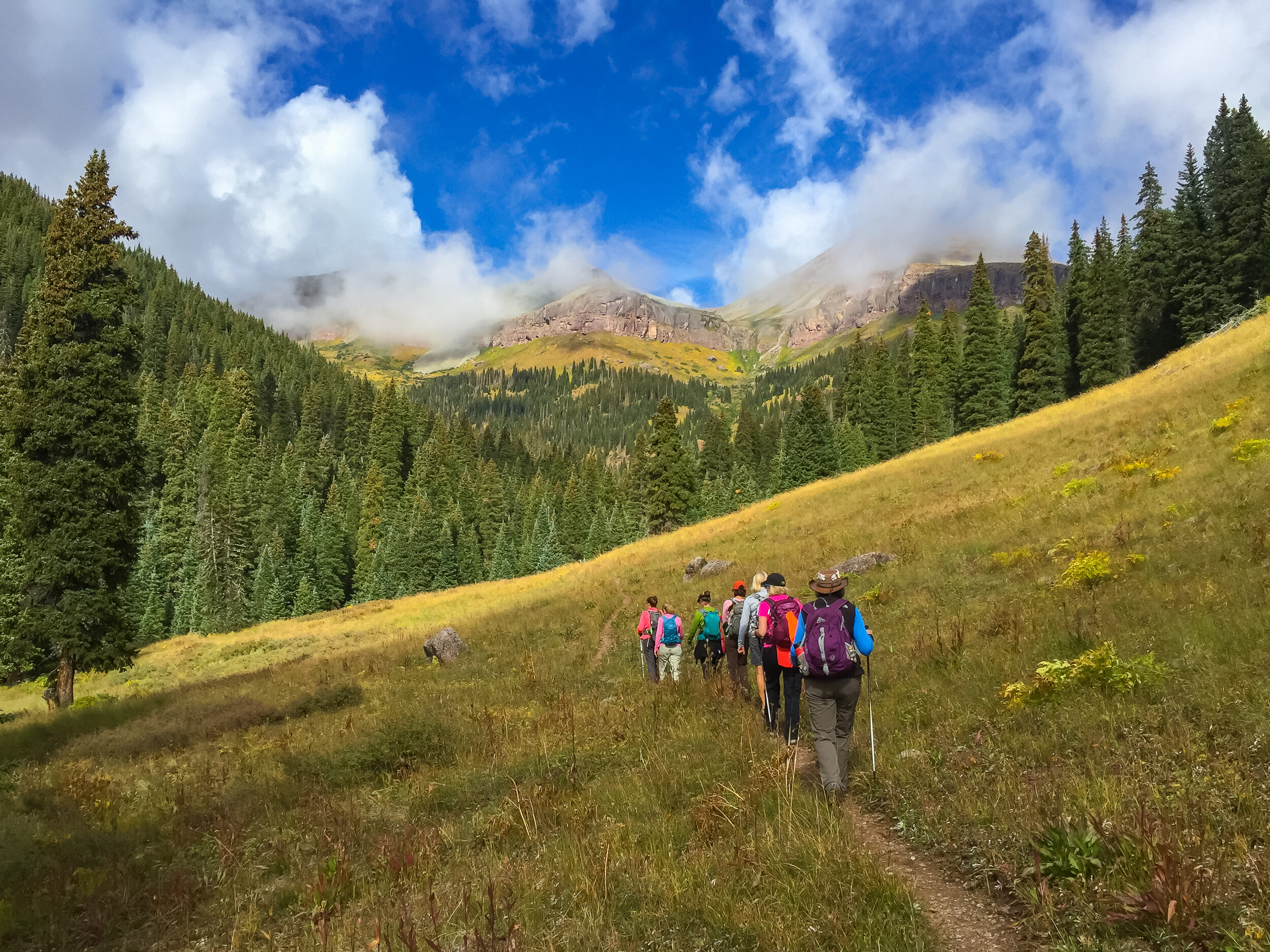
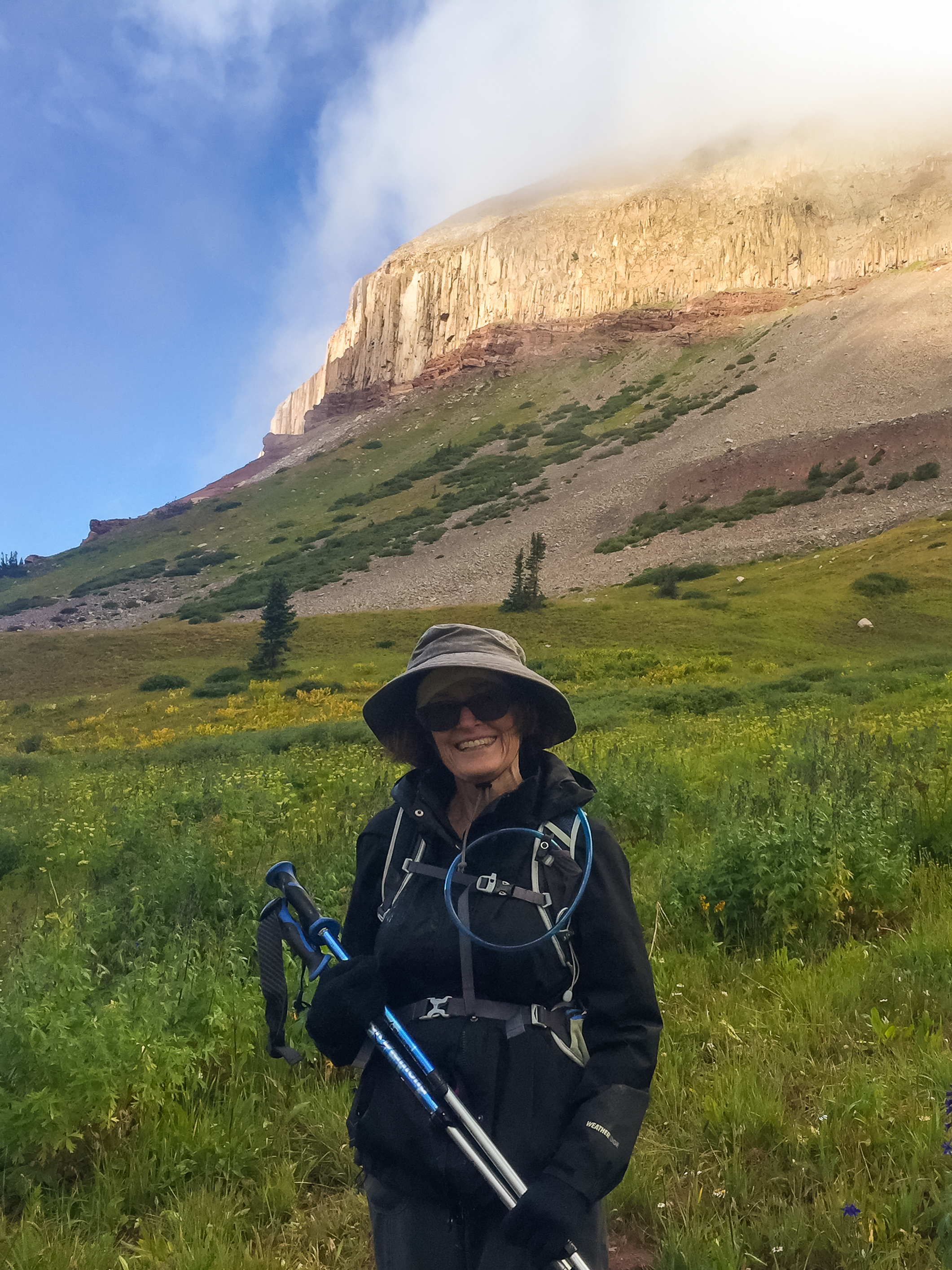
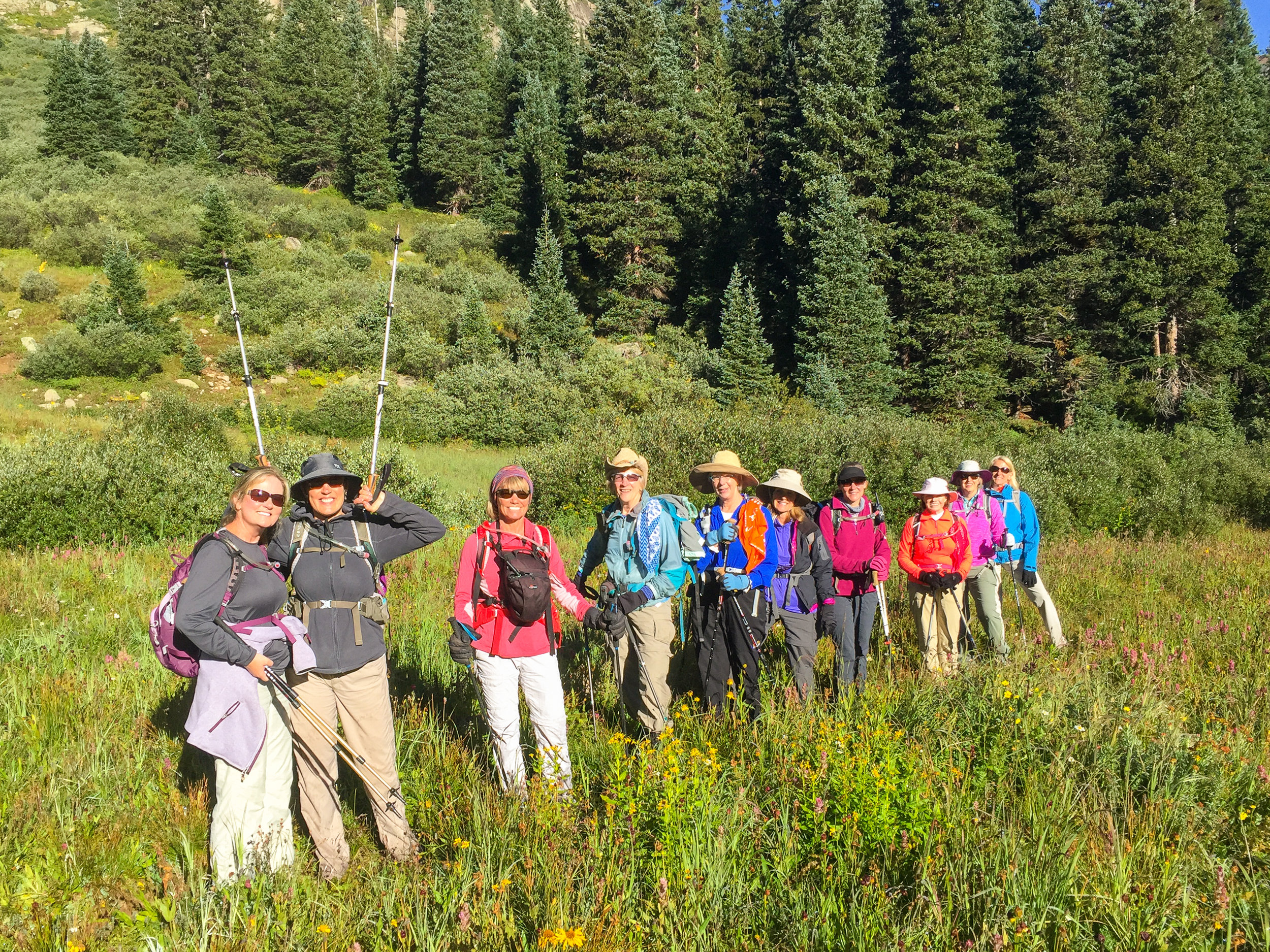
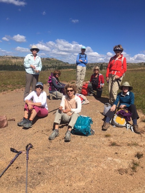
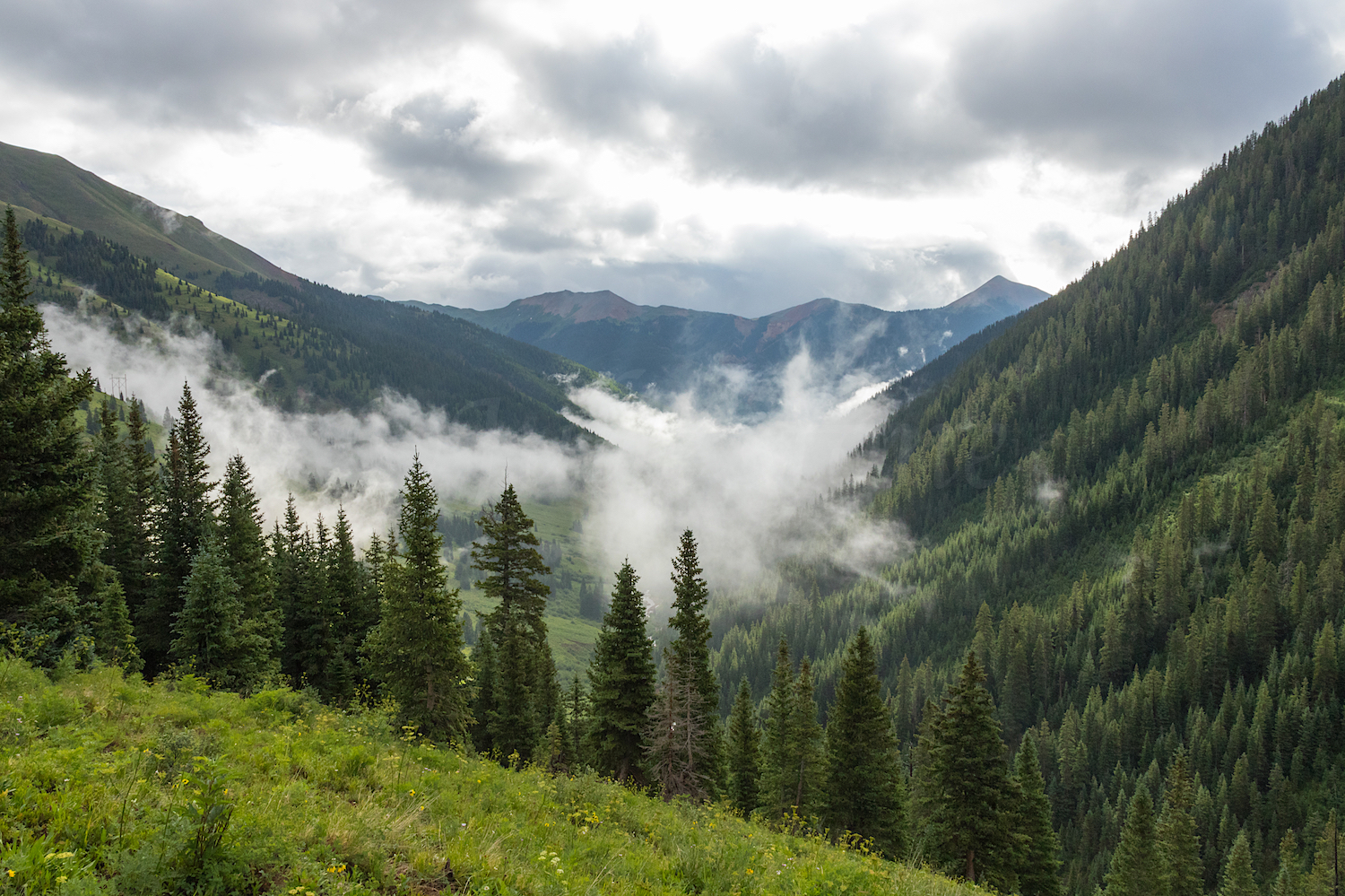
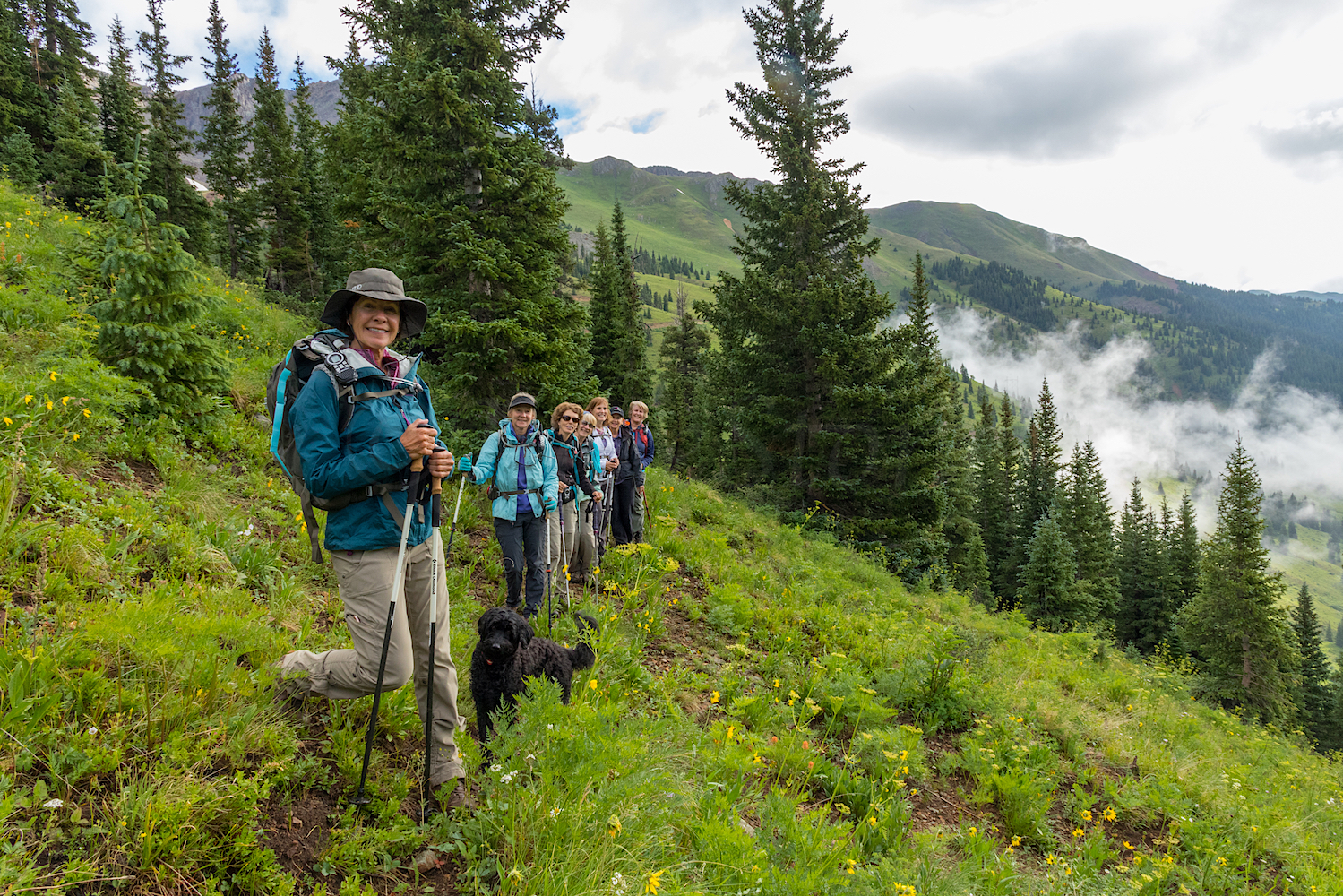
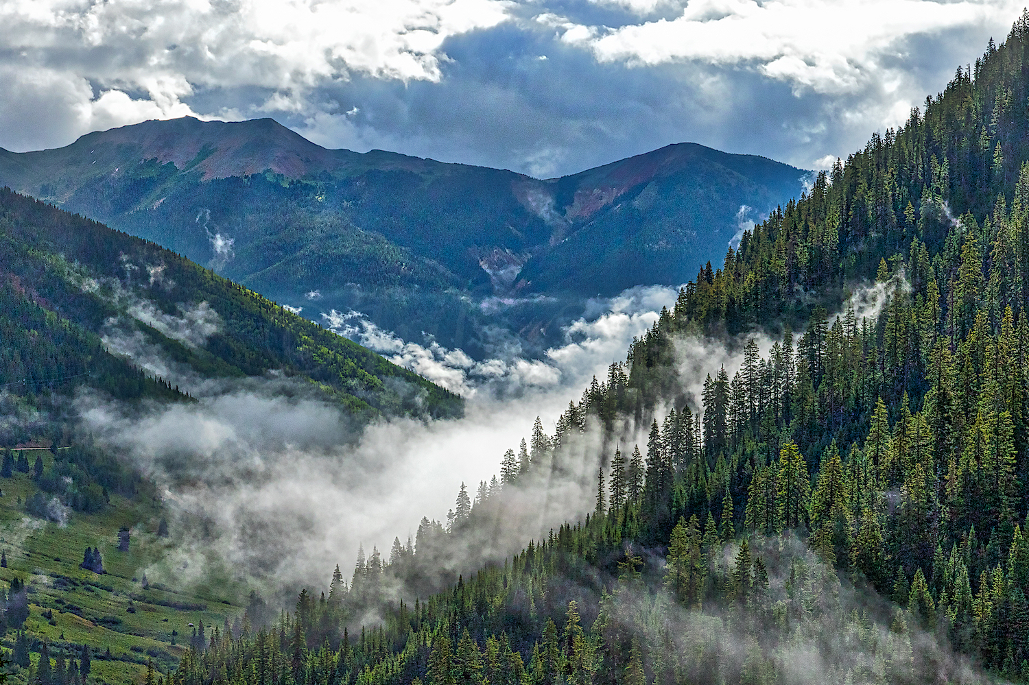
Kyla Prestwood Lead the Moxies on a hike up Lime Creek trail this morning. Fall is in the air and on the ground. The fog lifting above the peaks was mystic. Thanks Kyla for planning a great hike with great friends.
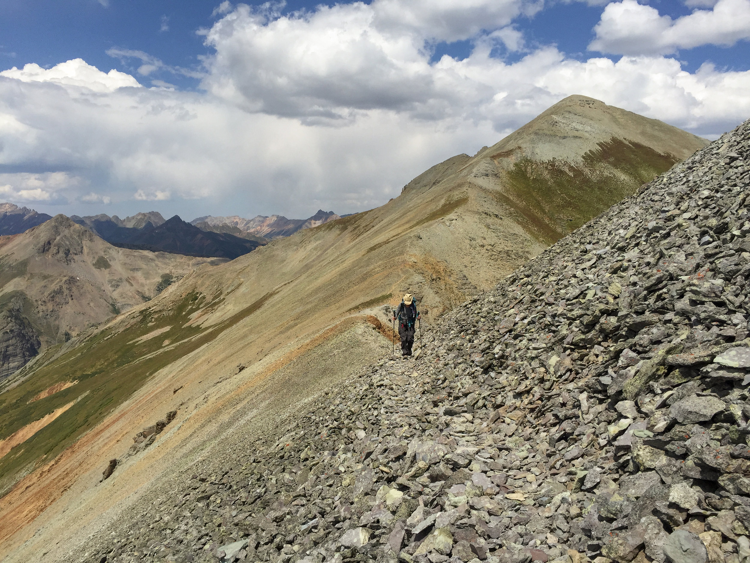
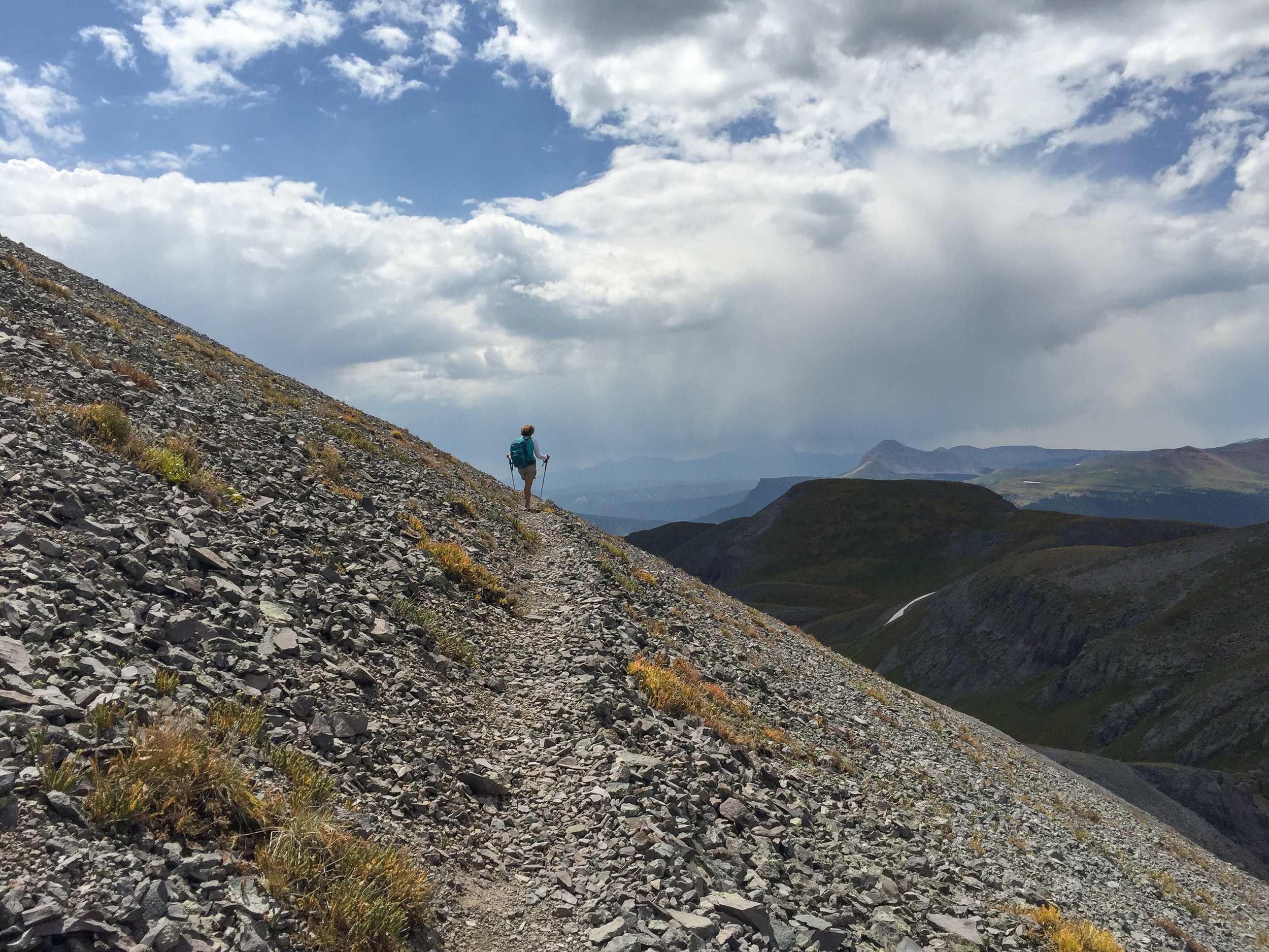
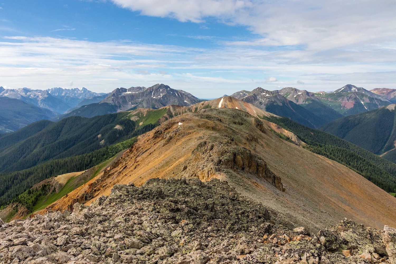
PASS TRAIL TO ENGINEER MOUNTAIN TRAIL
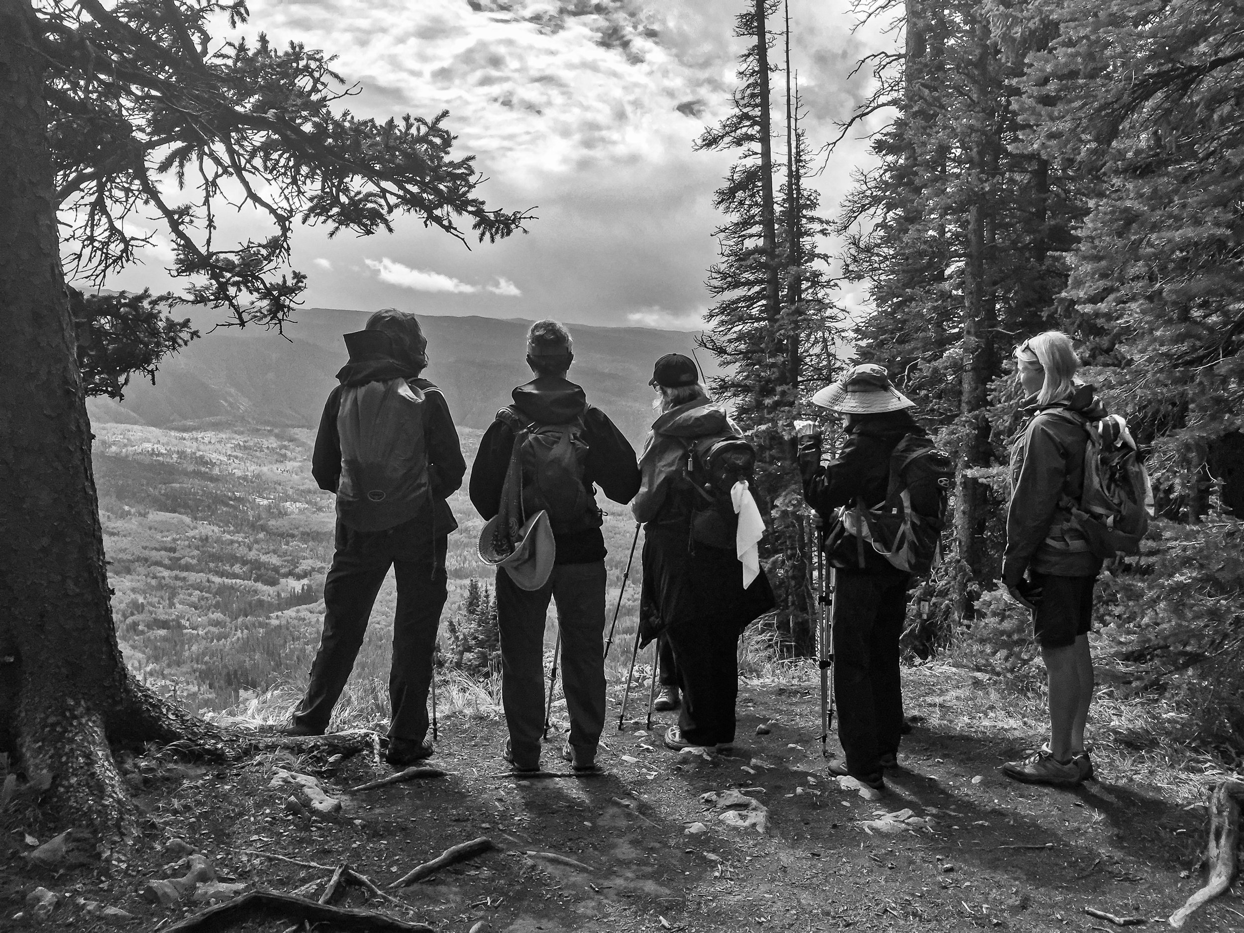
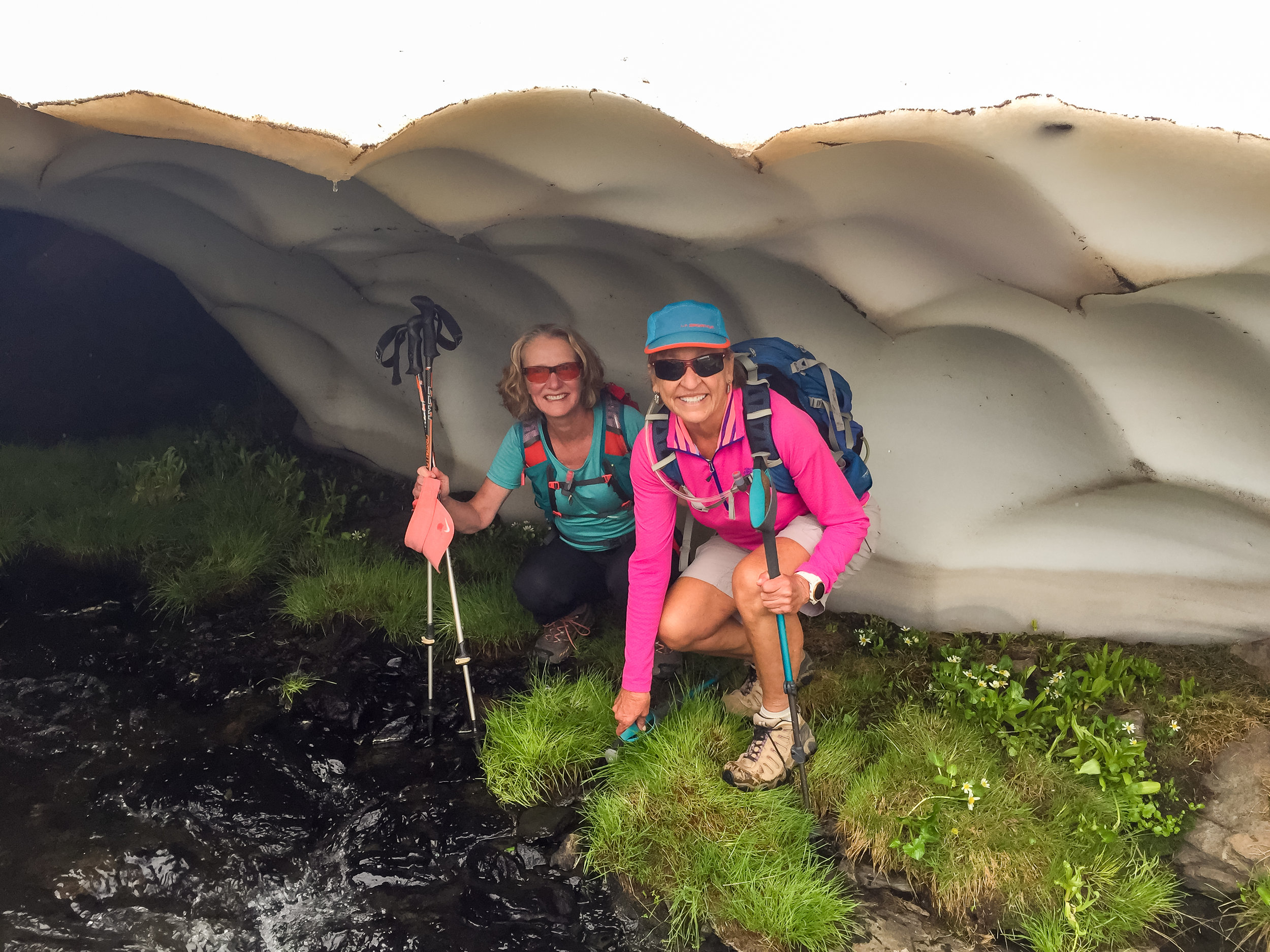
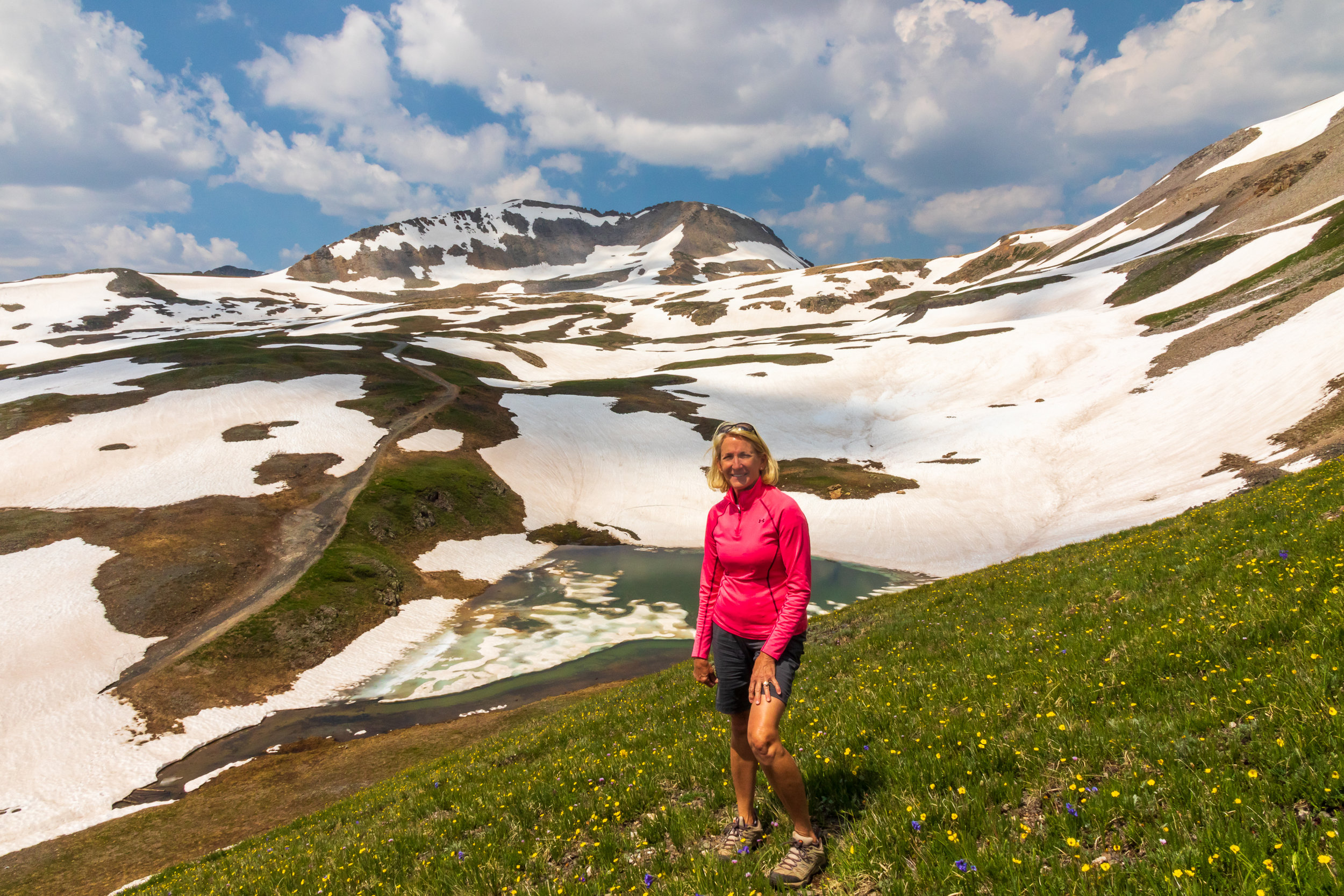
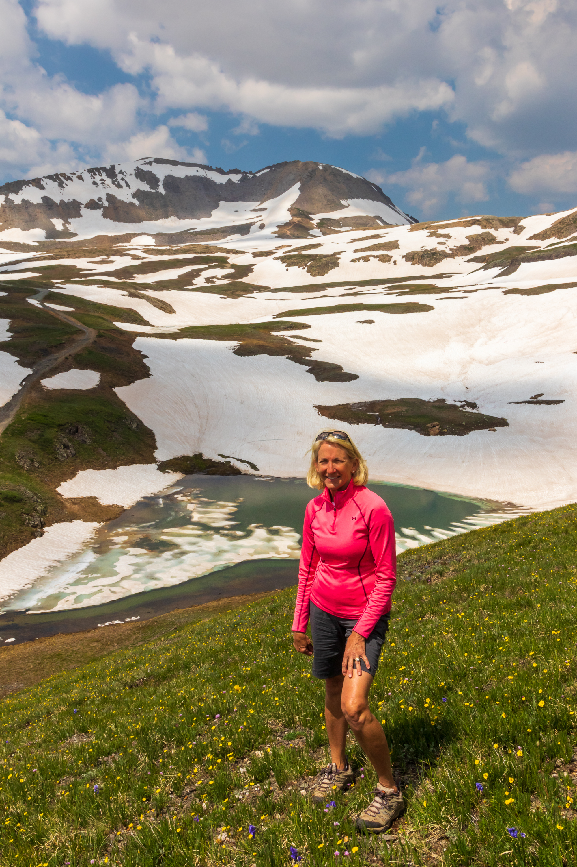
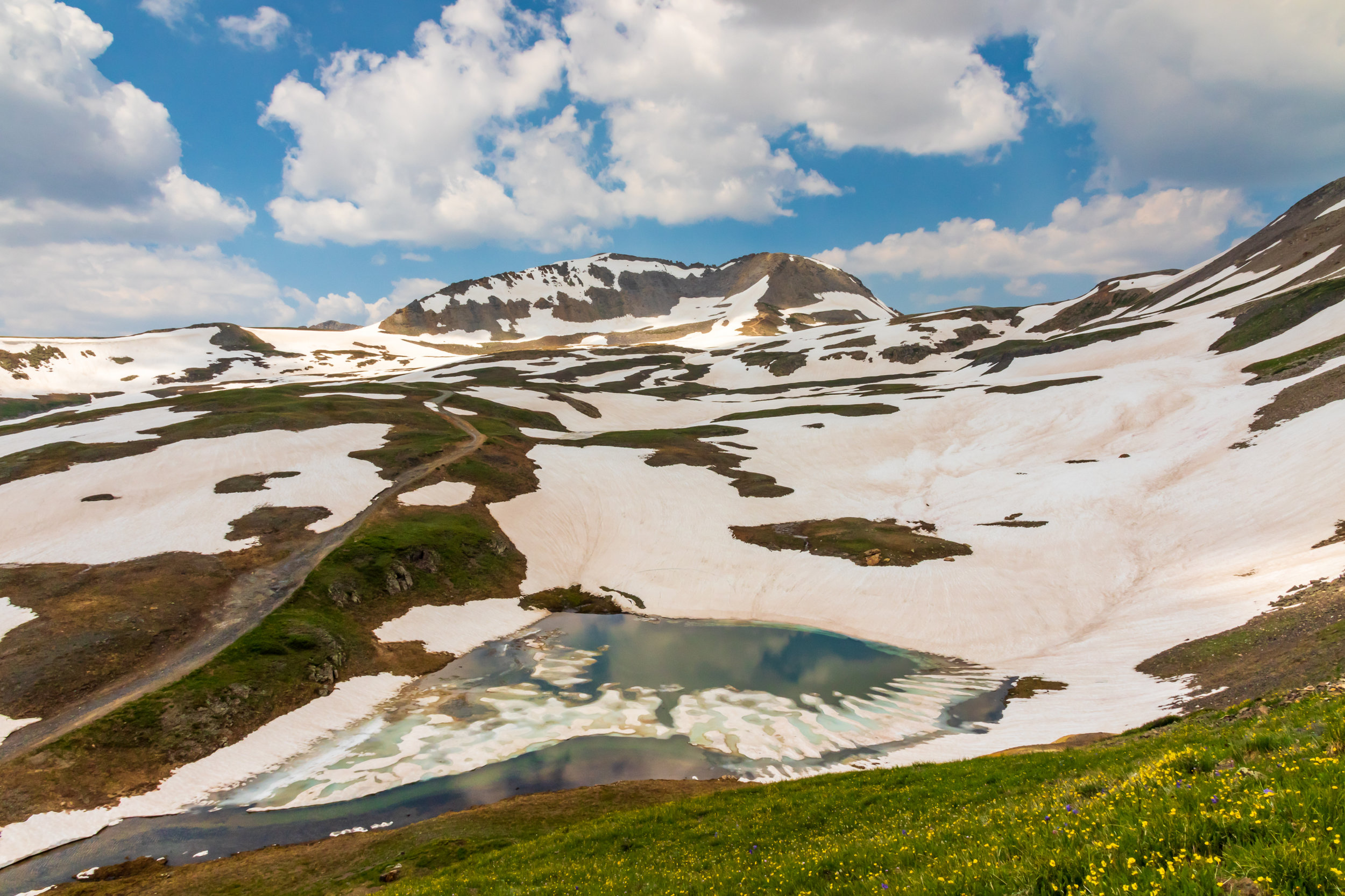
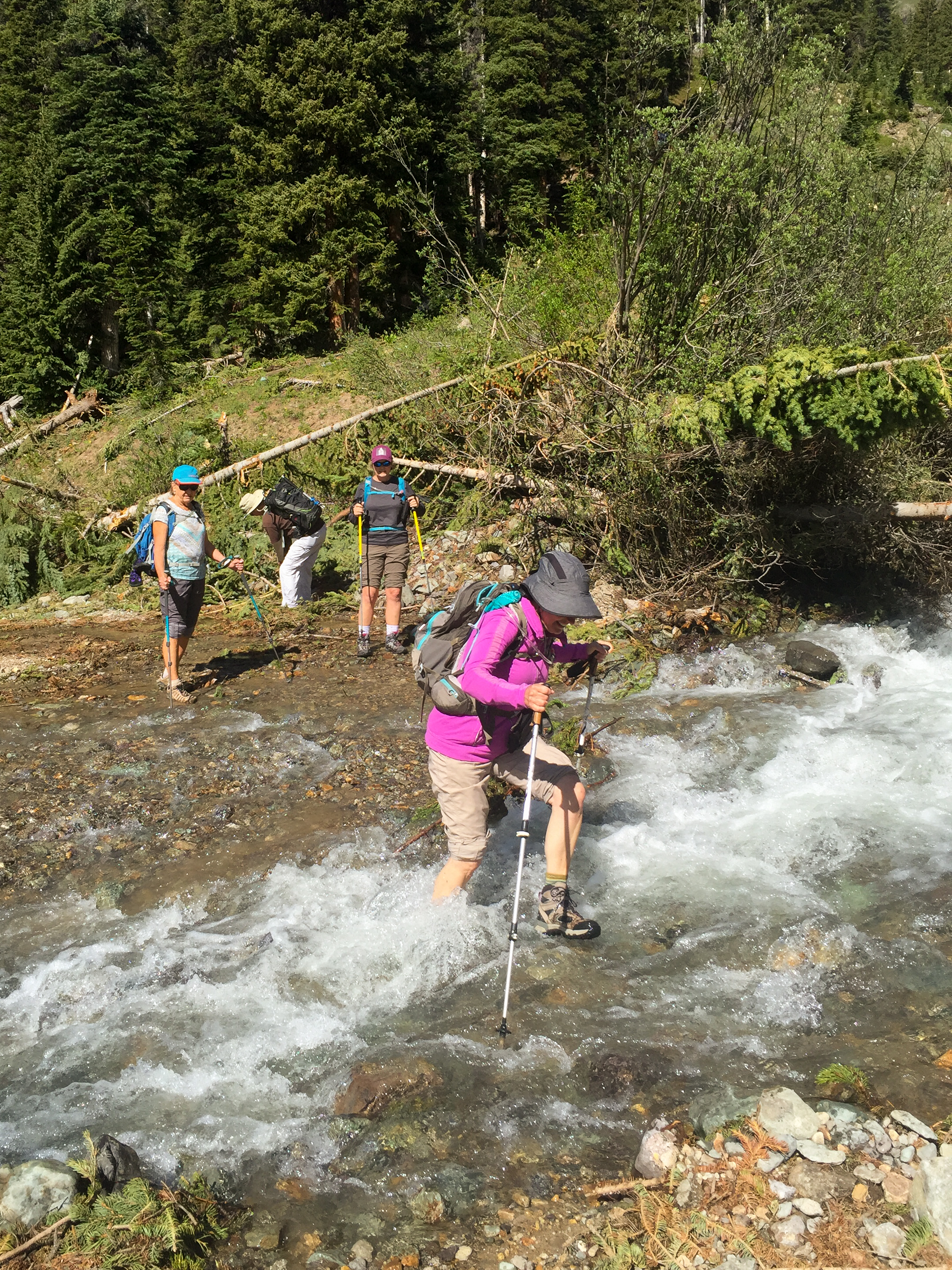
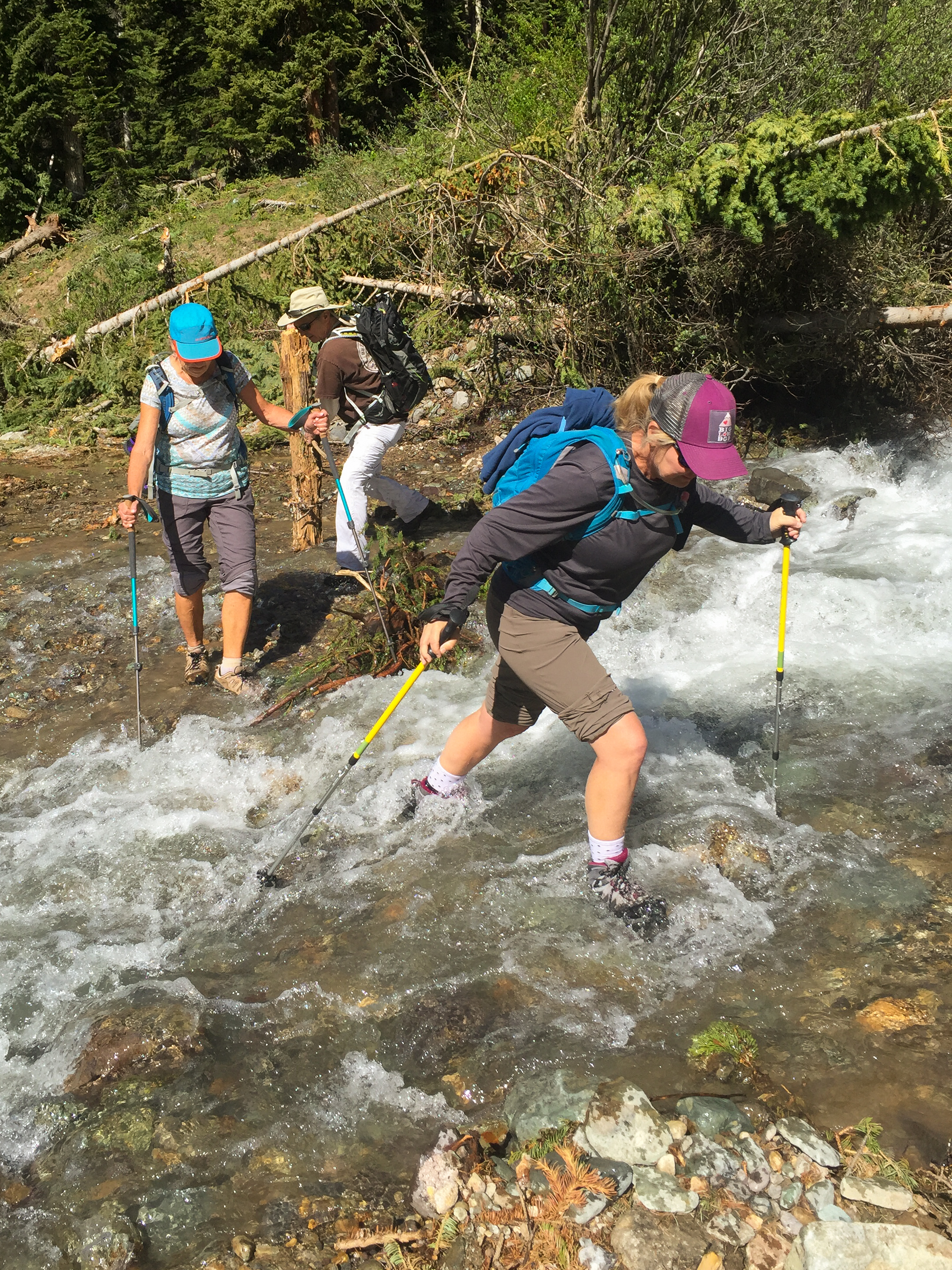
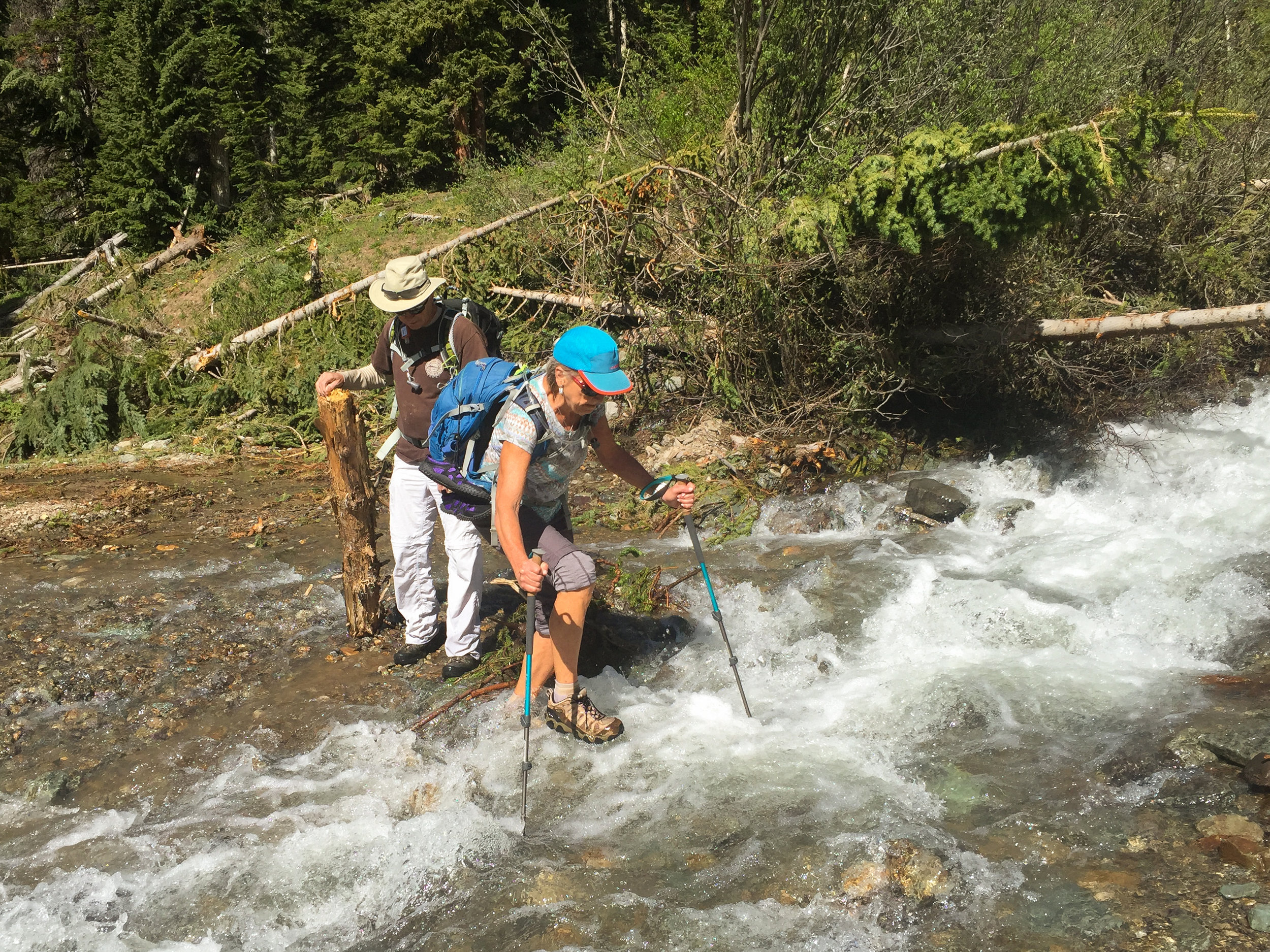
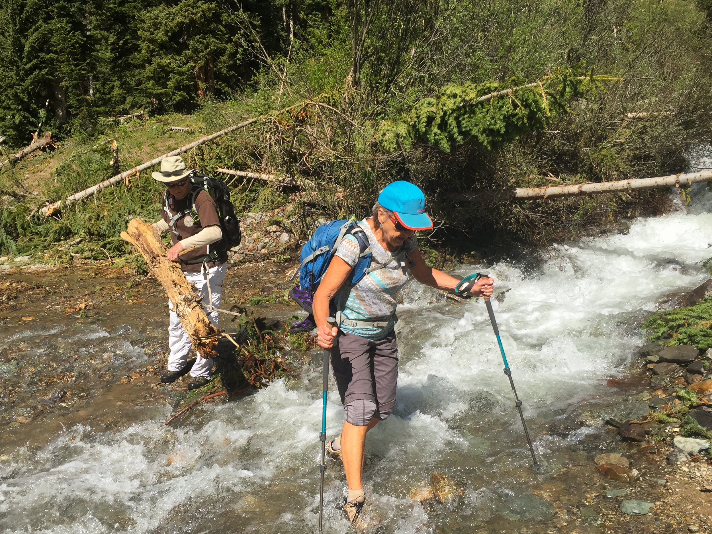
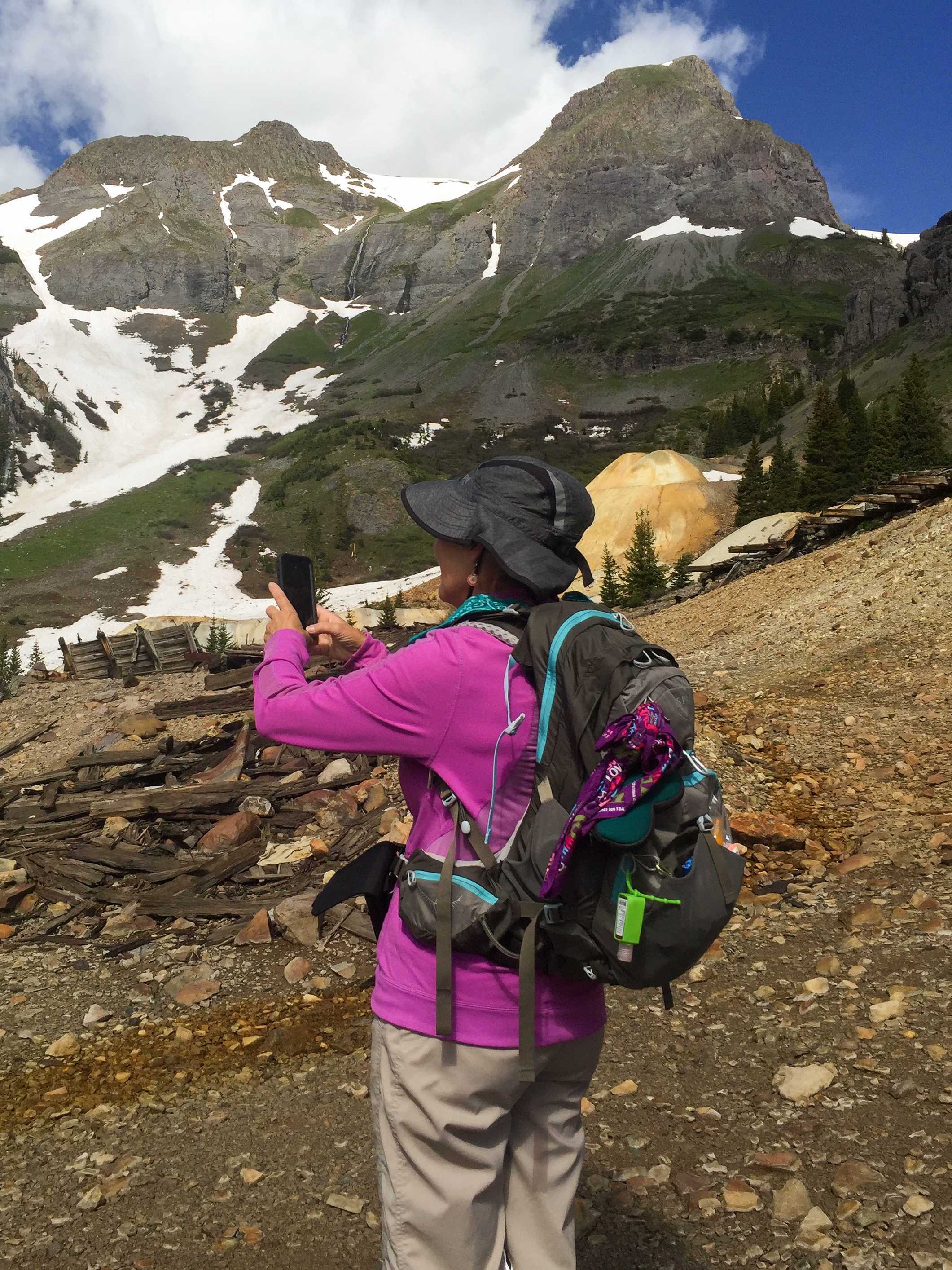
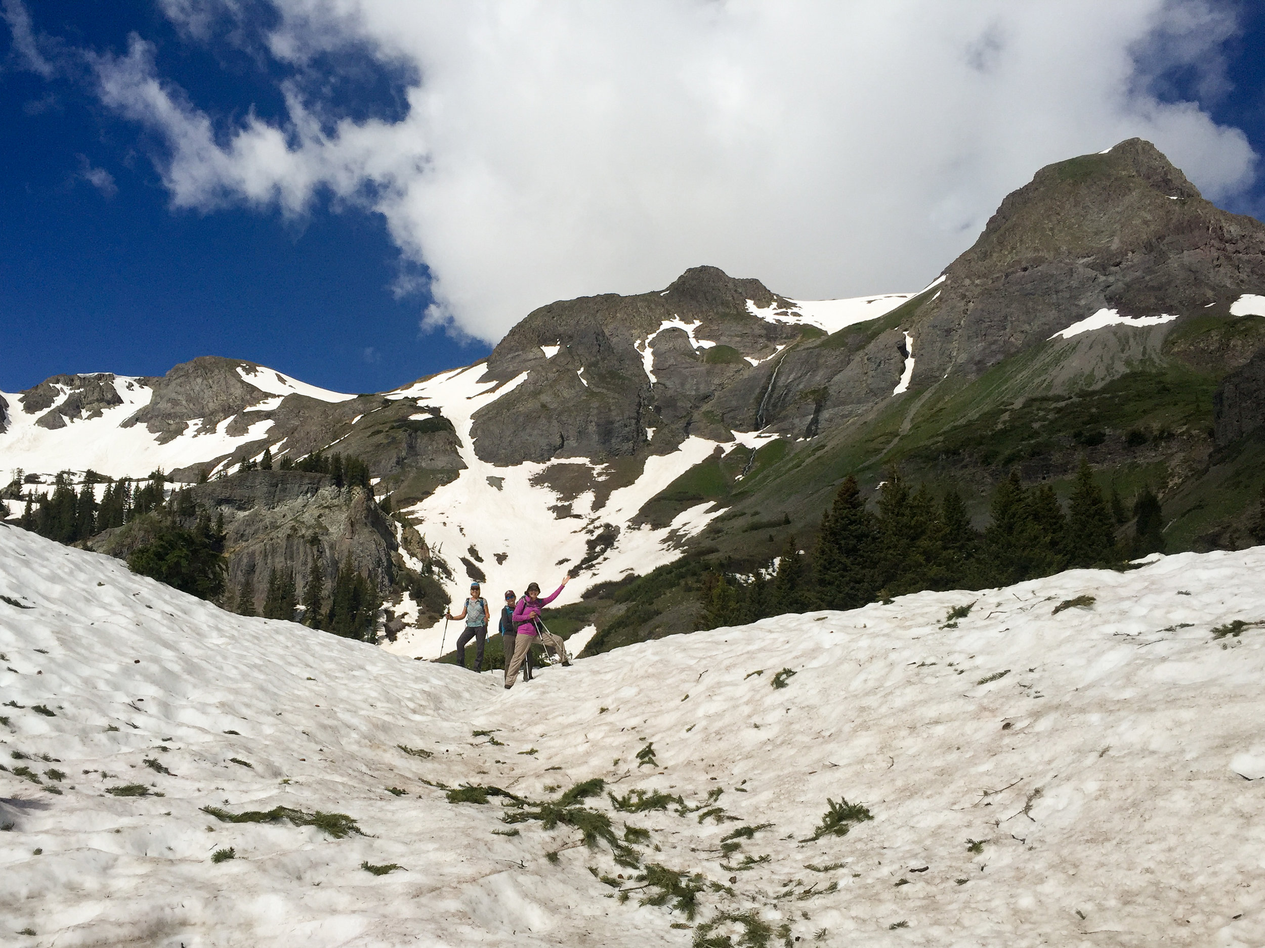
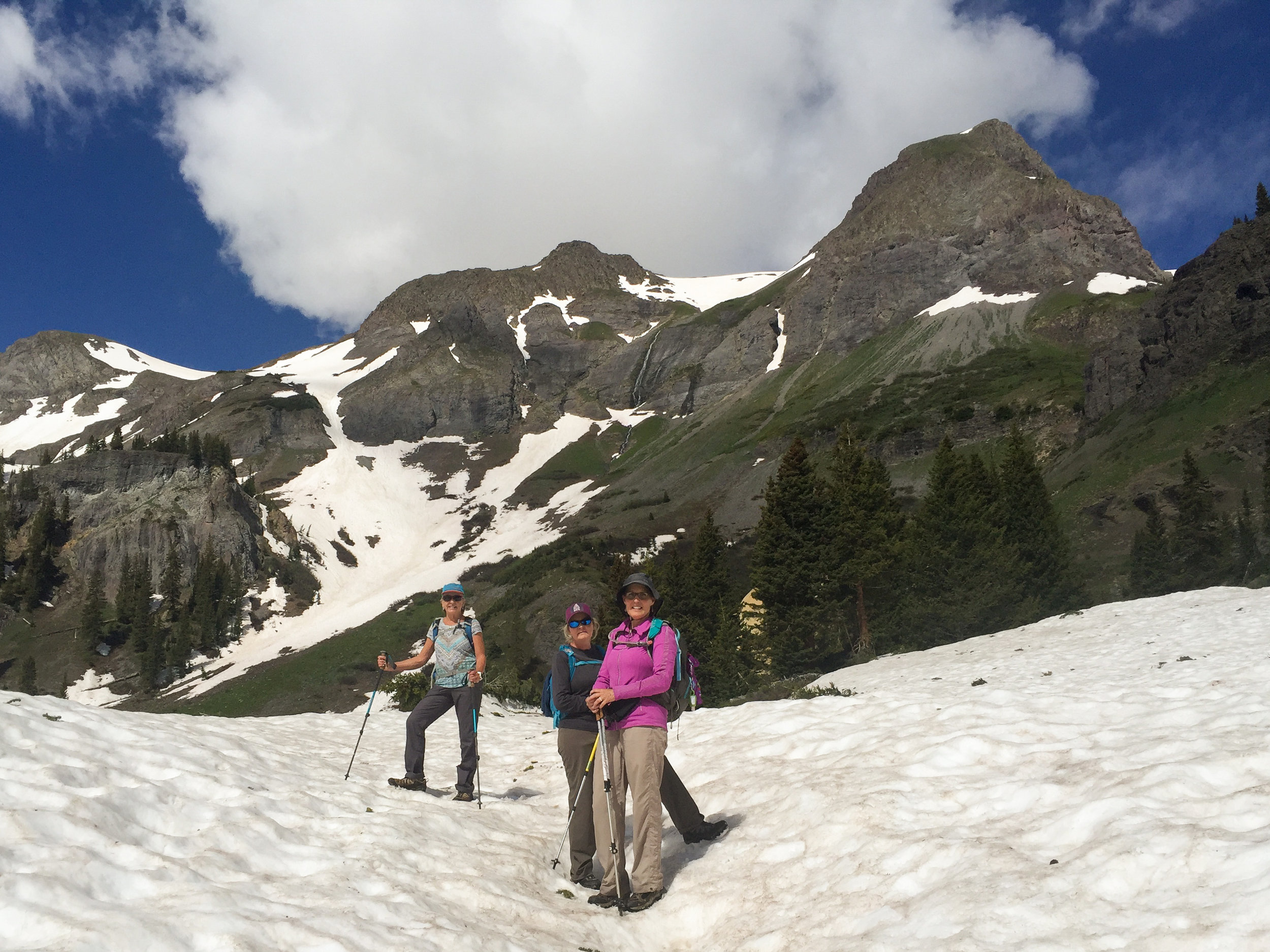
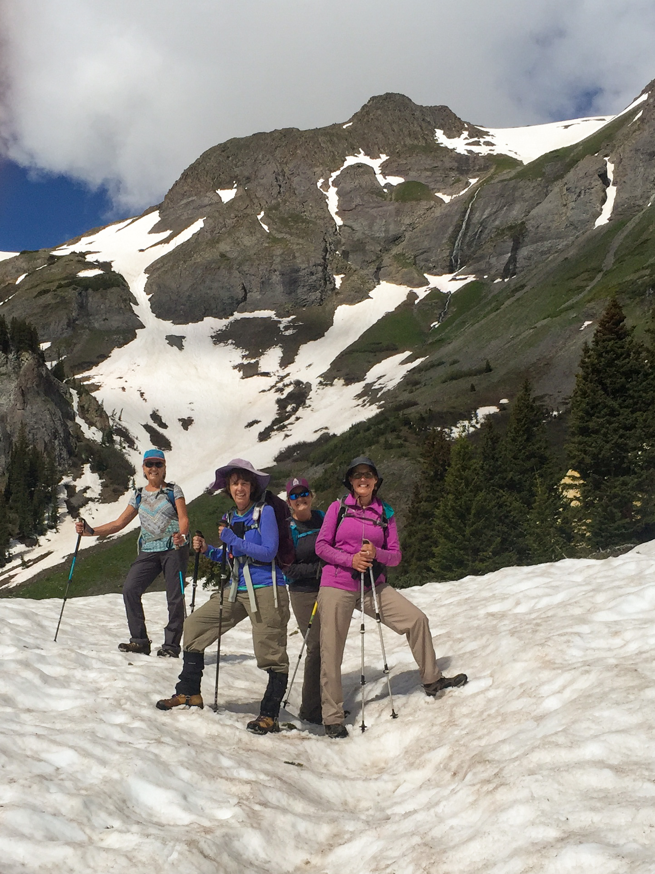
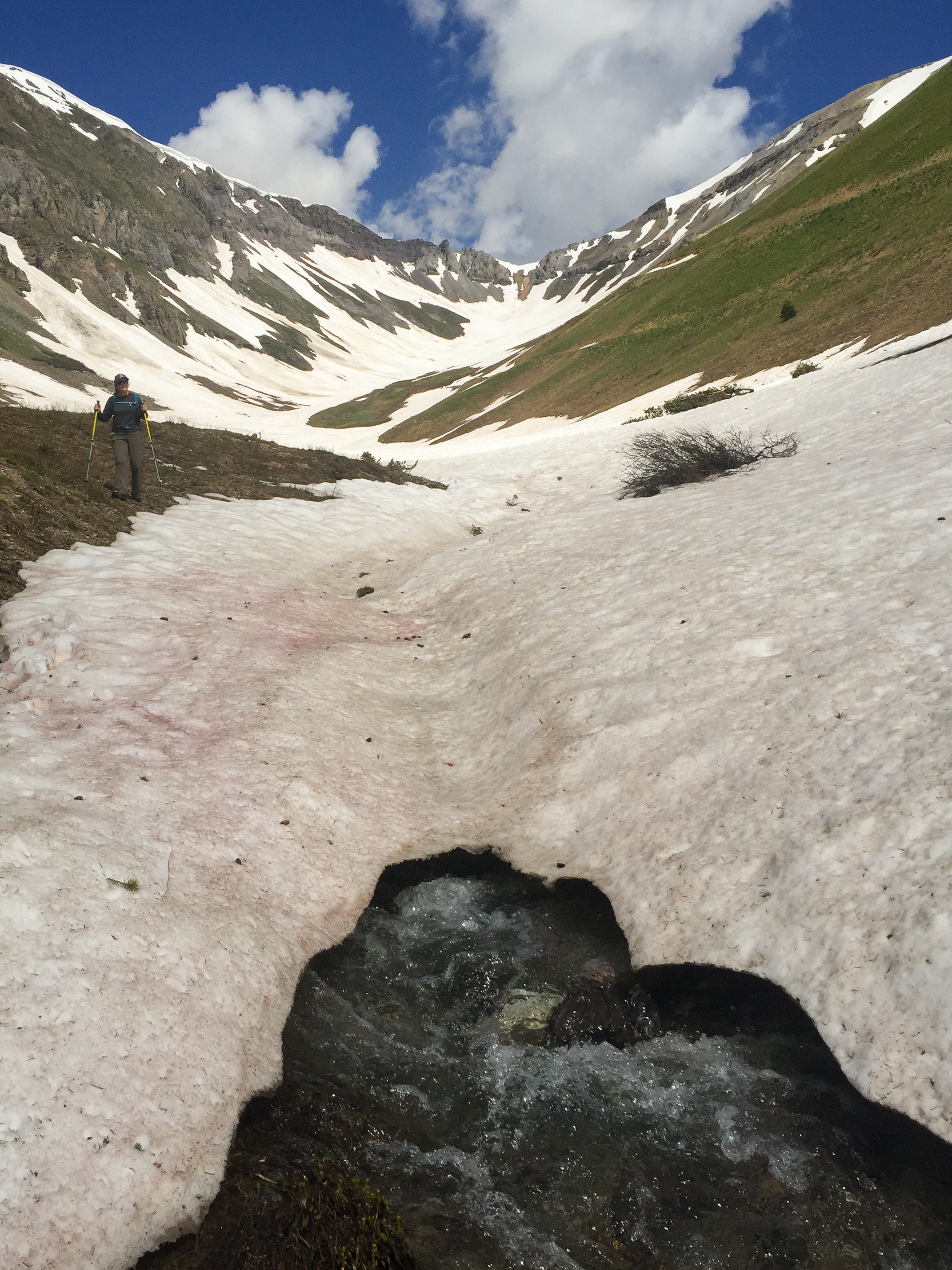
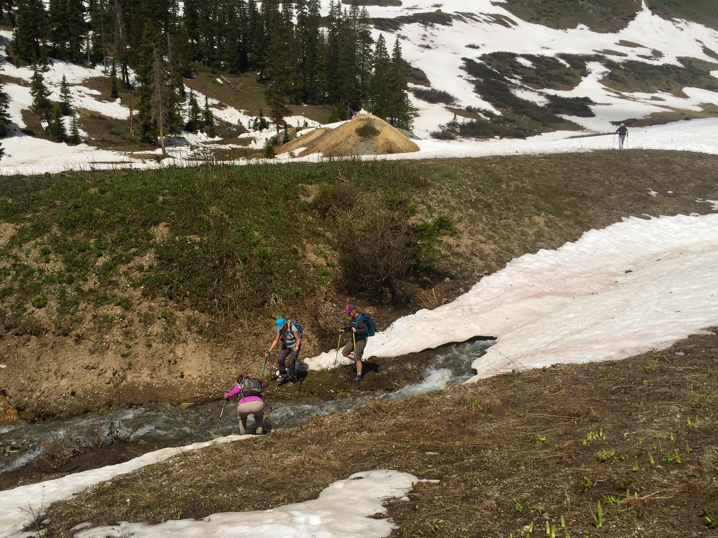
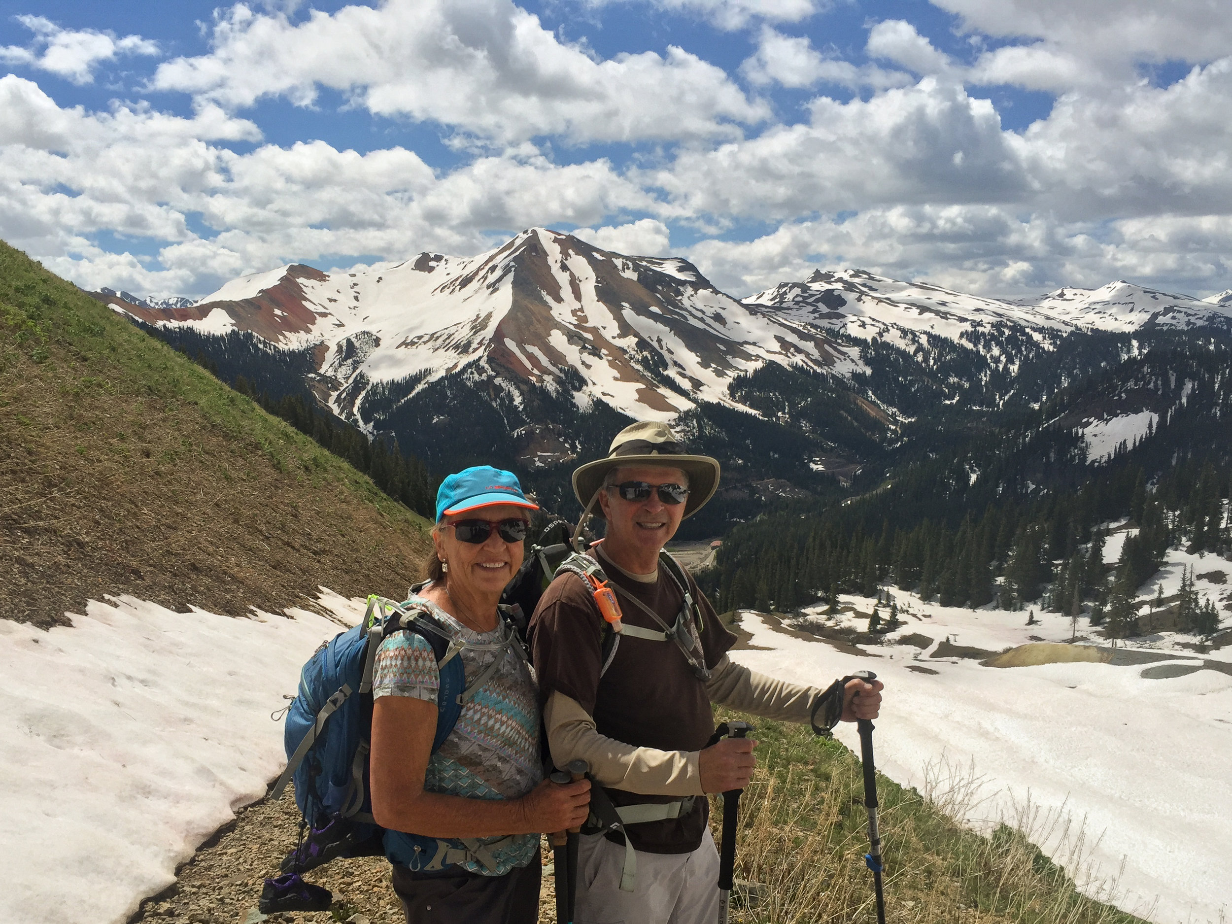
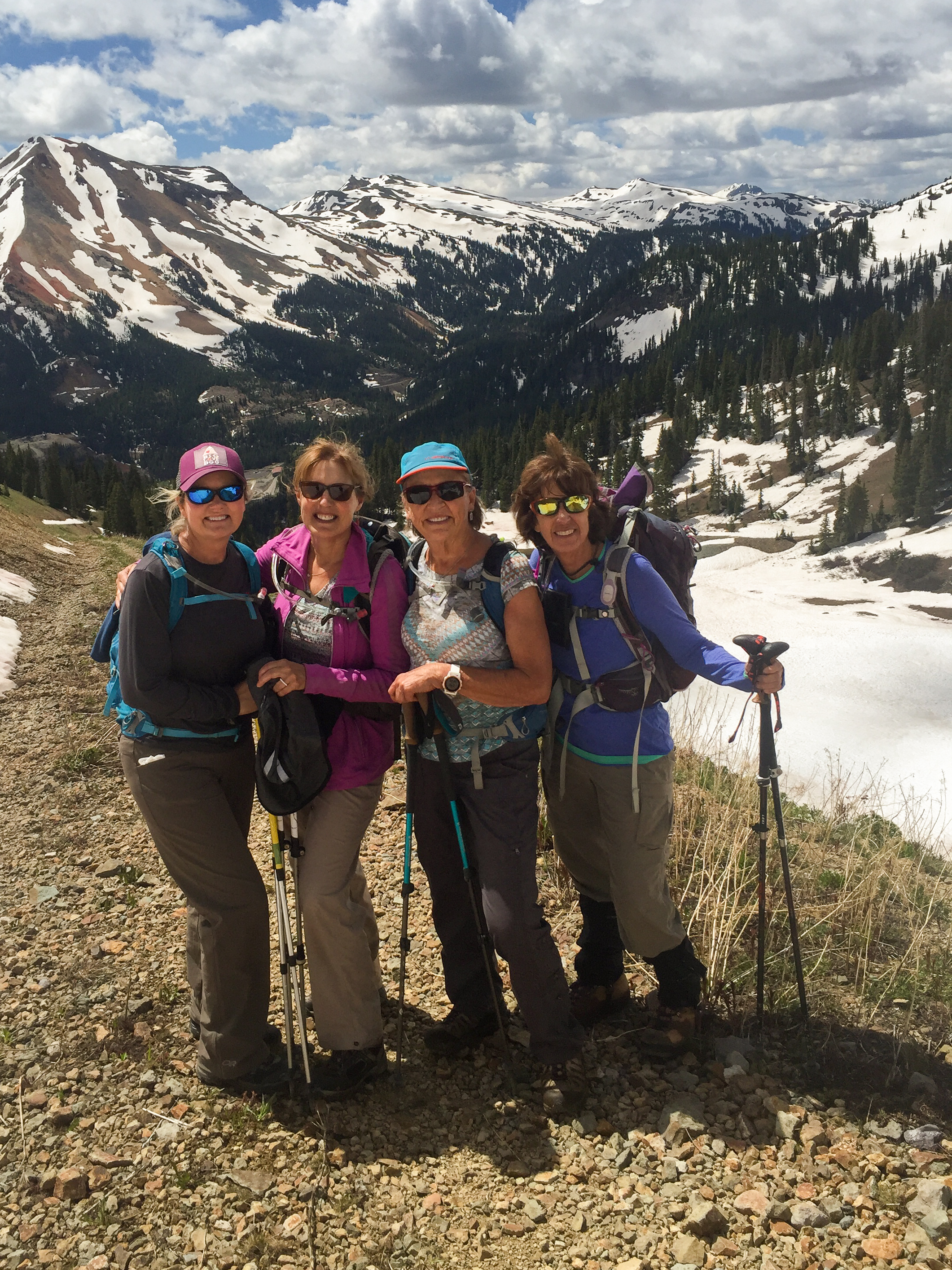
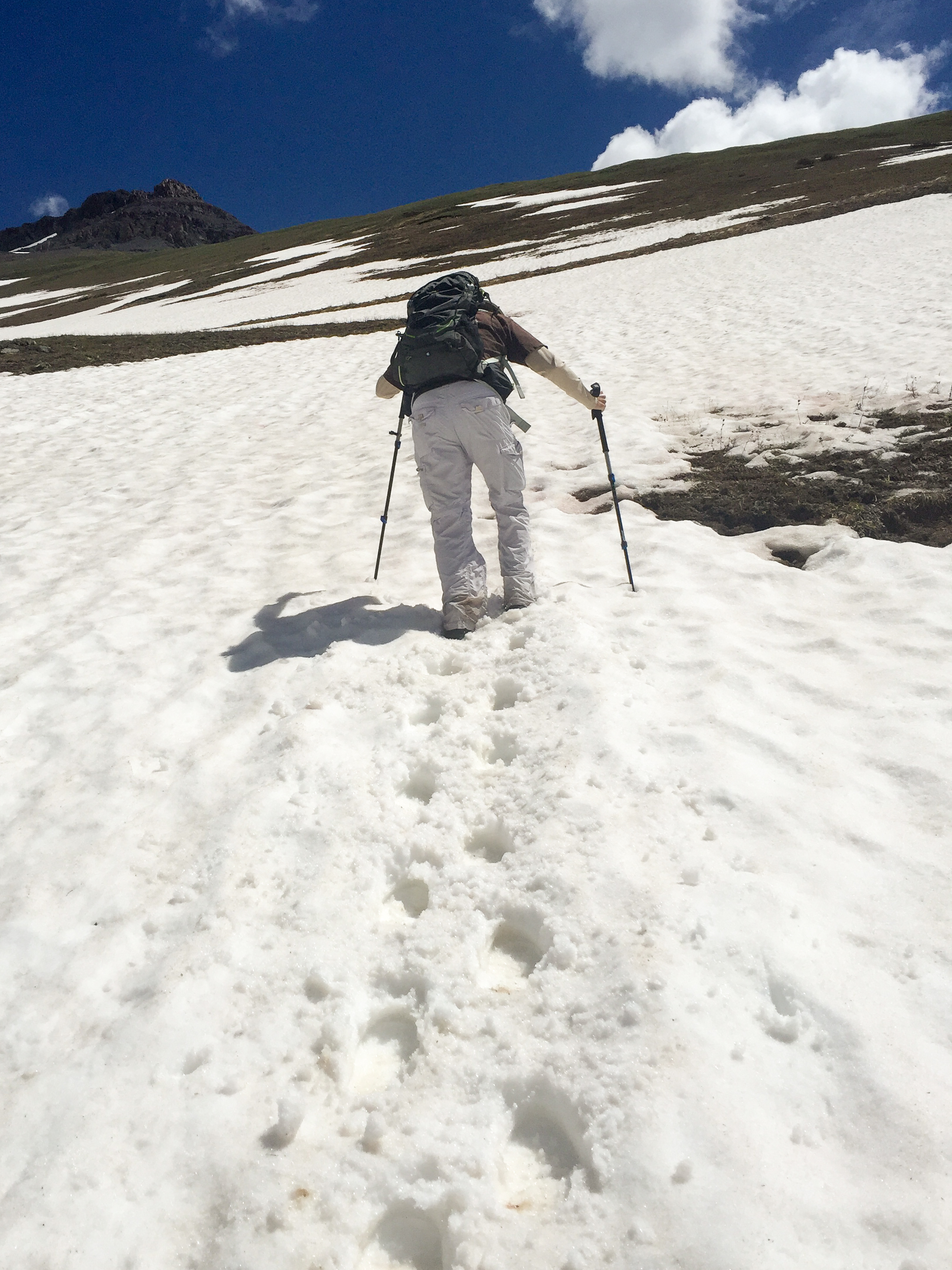
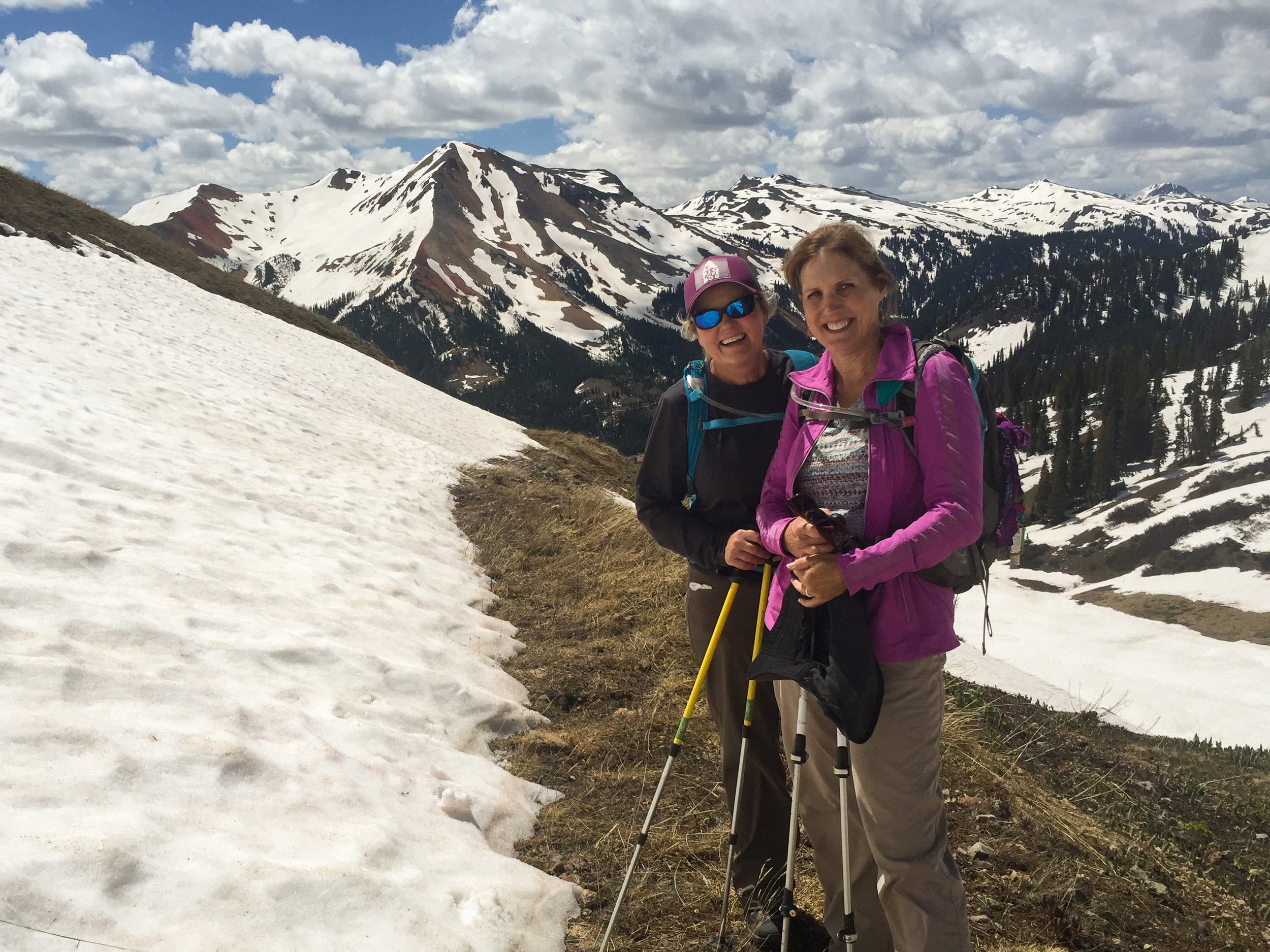
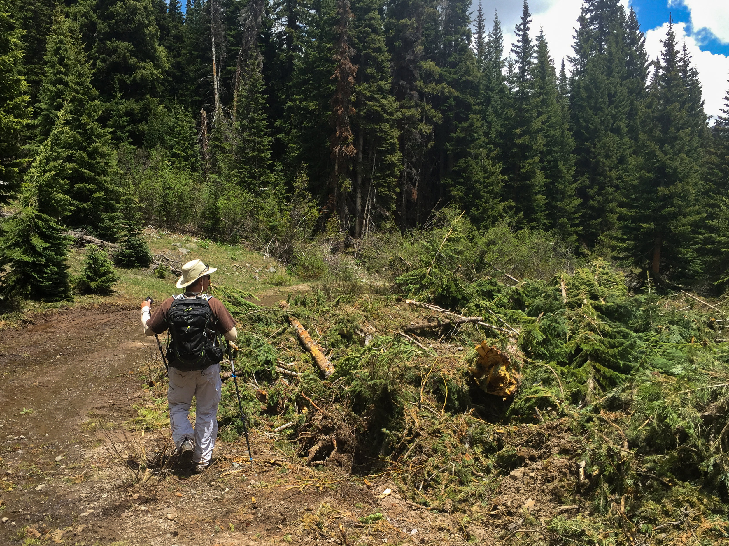
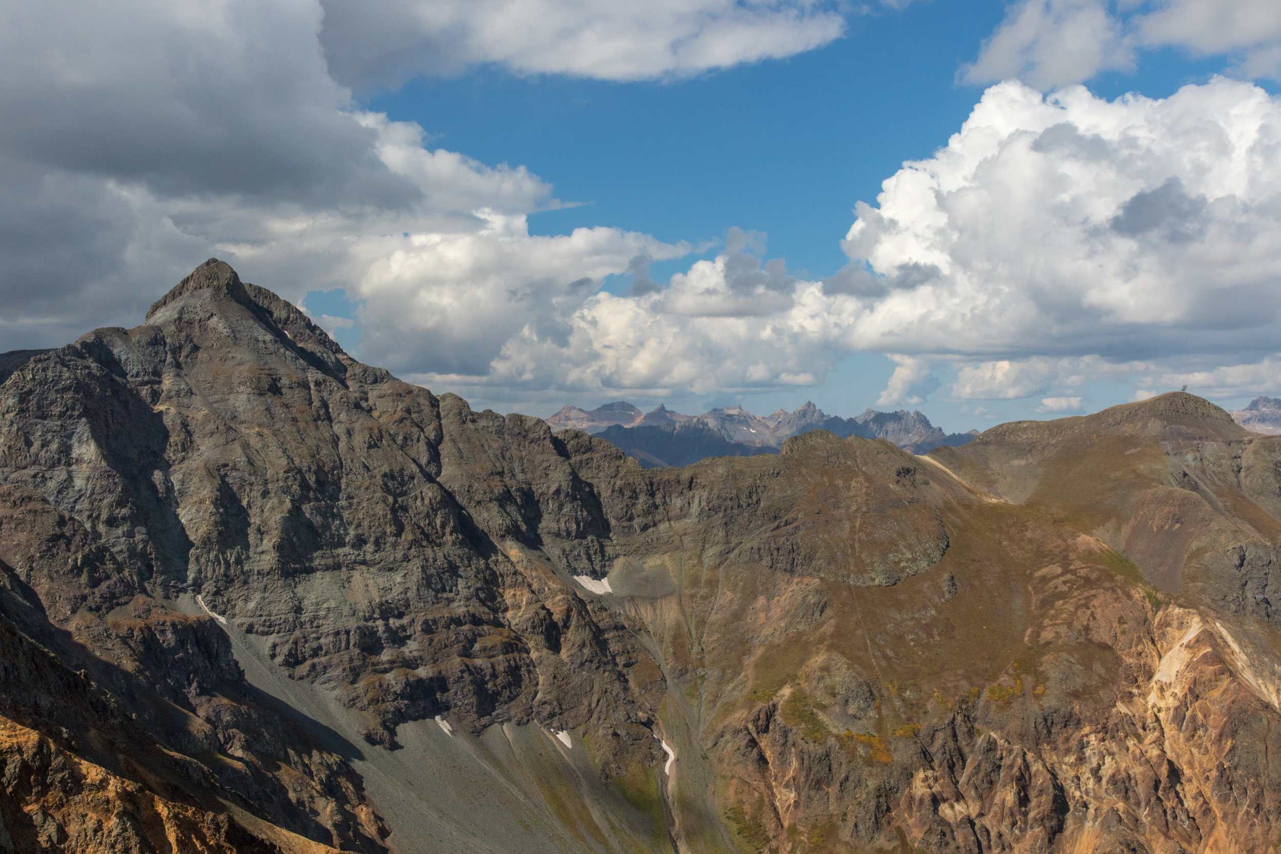
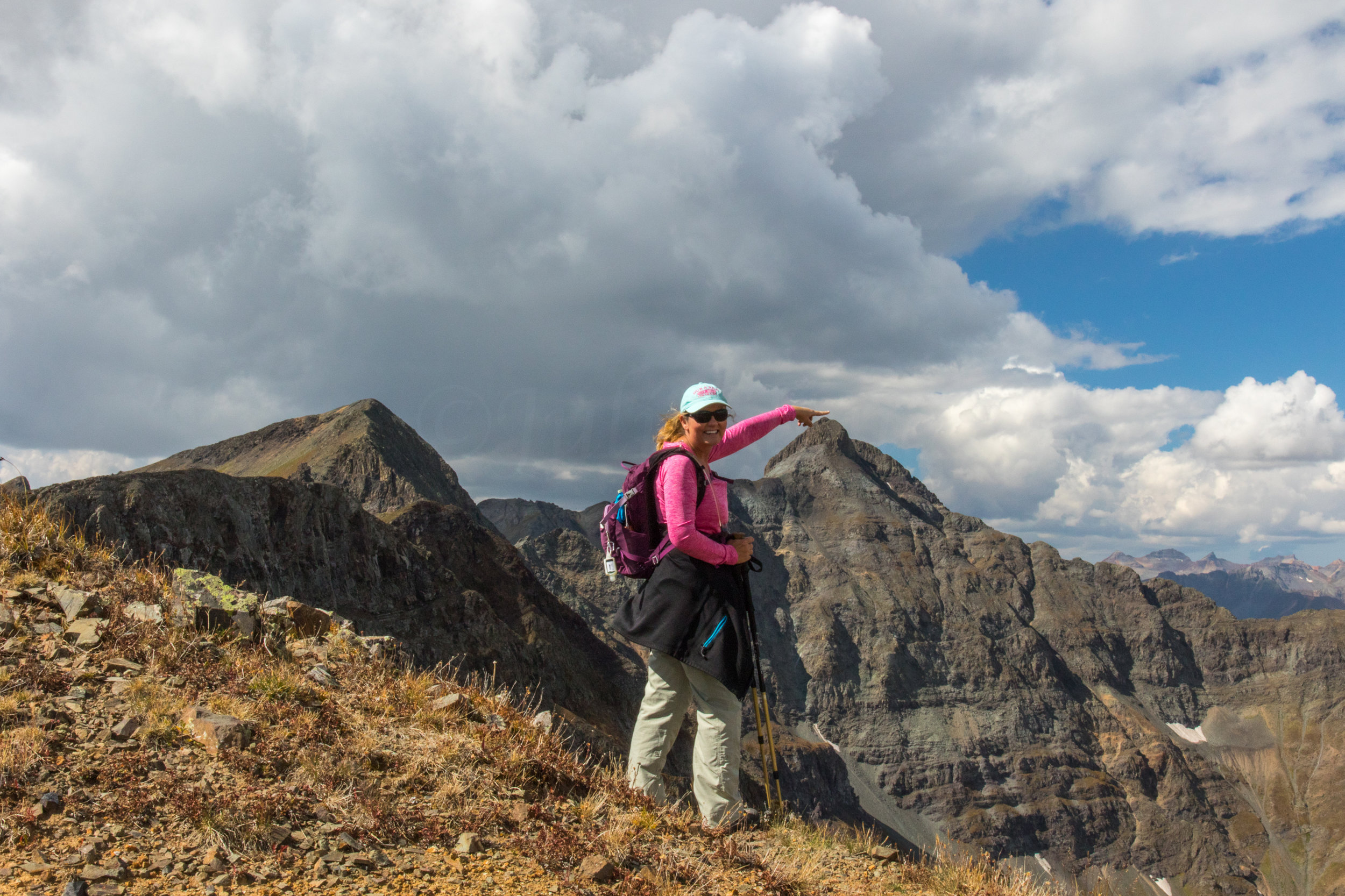
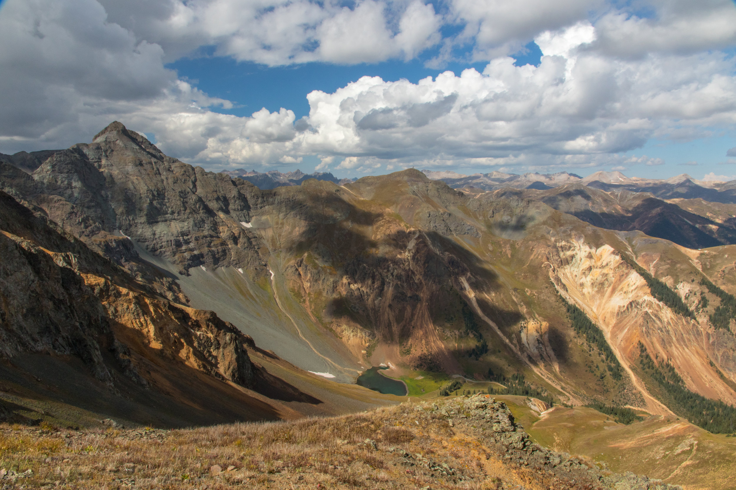
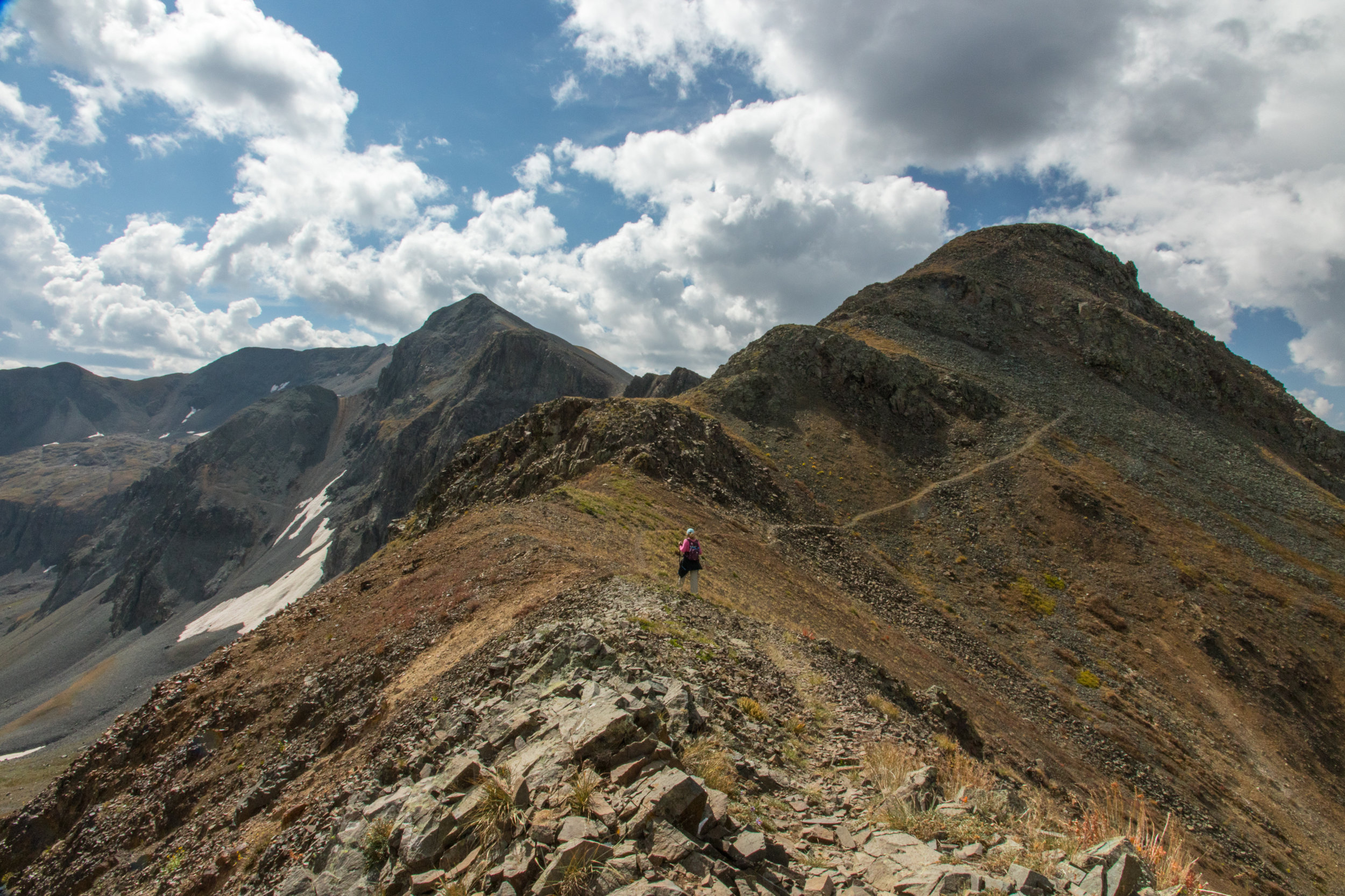
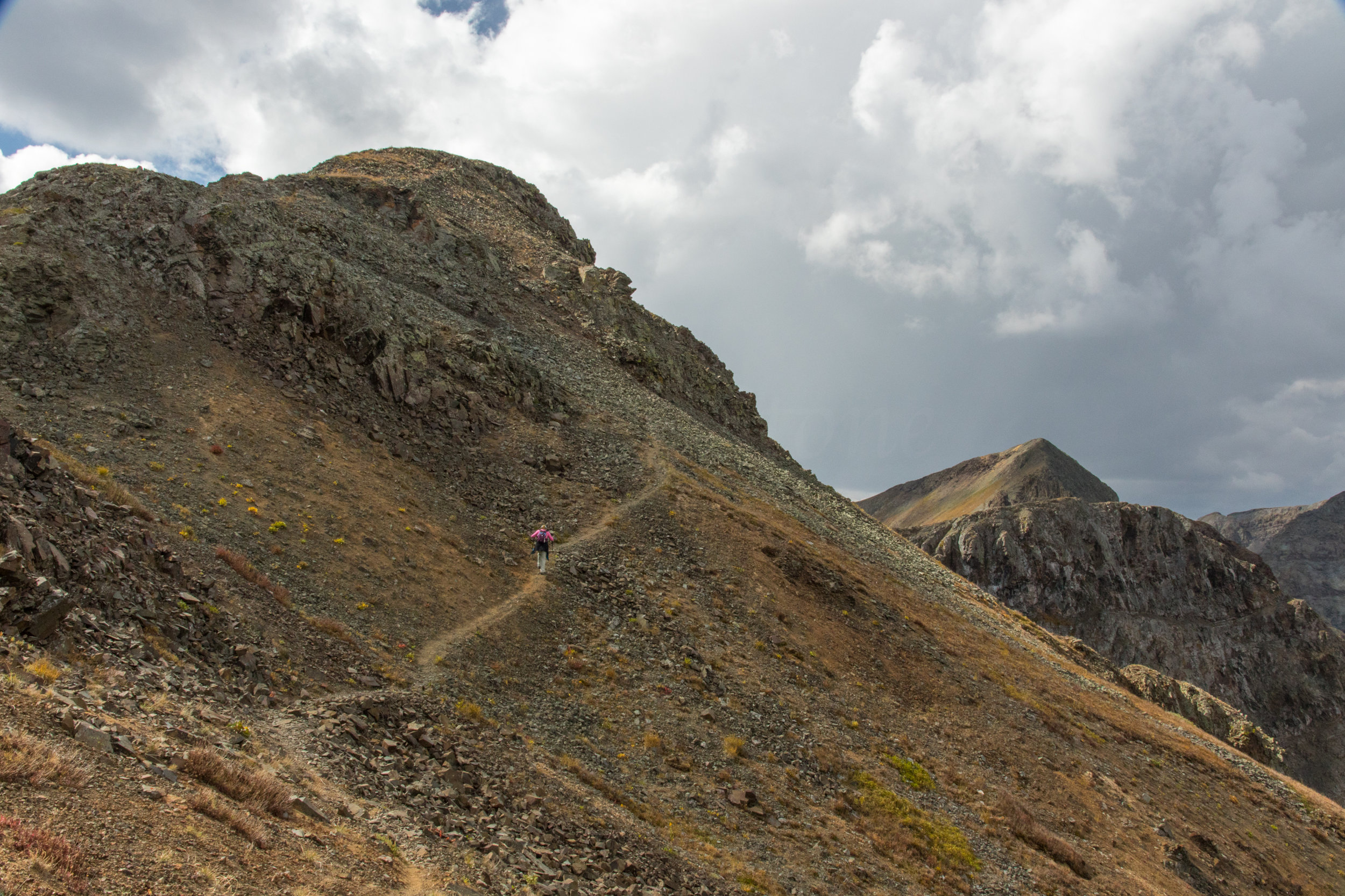
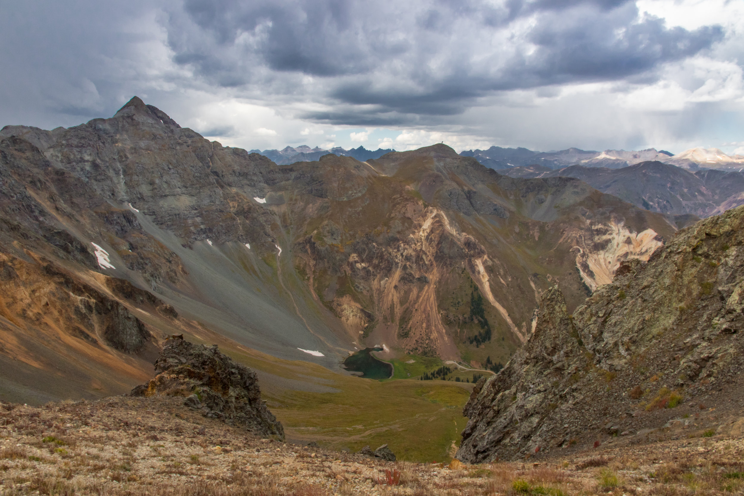
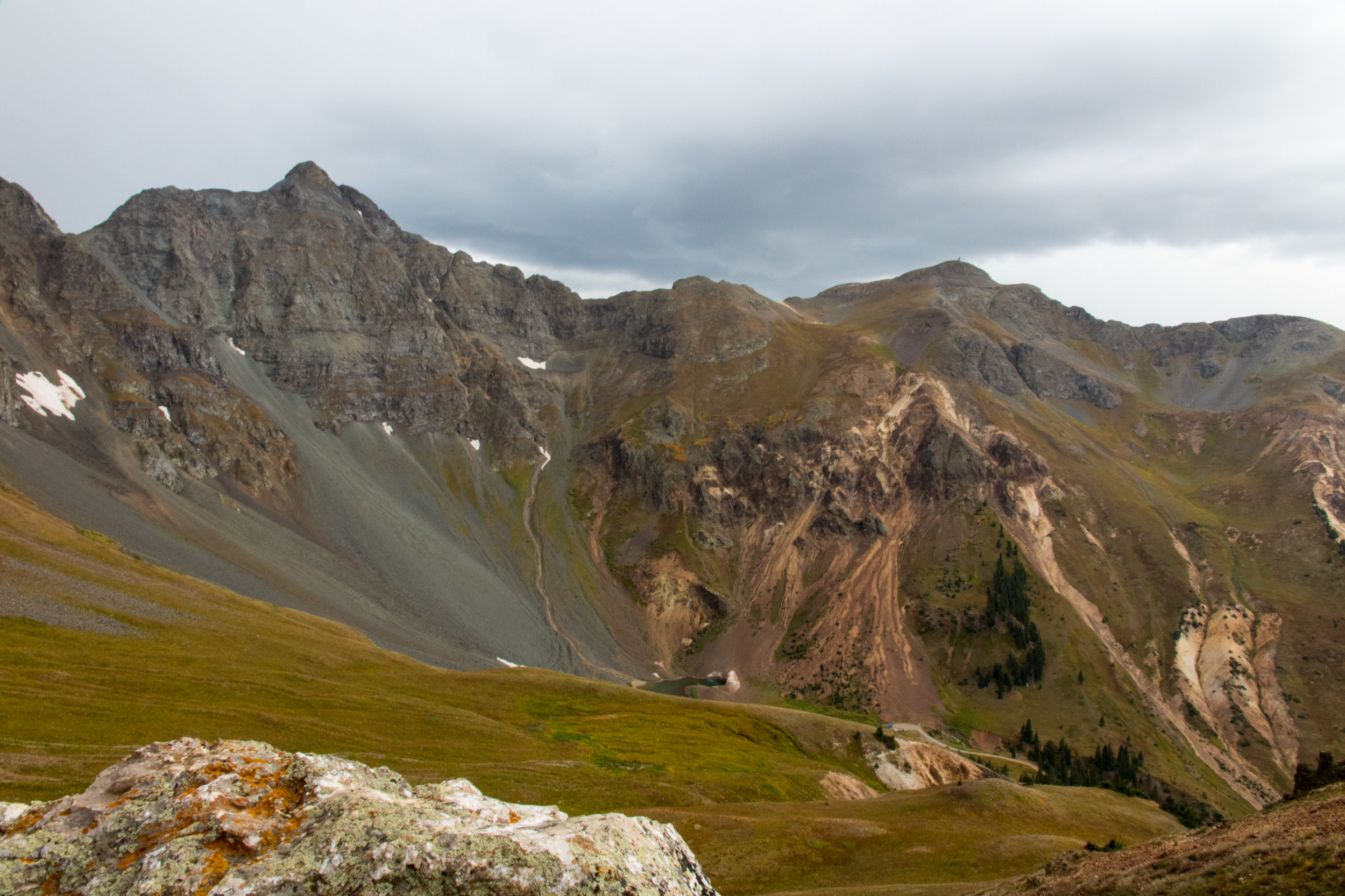
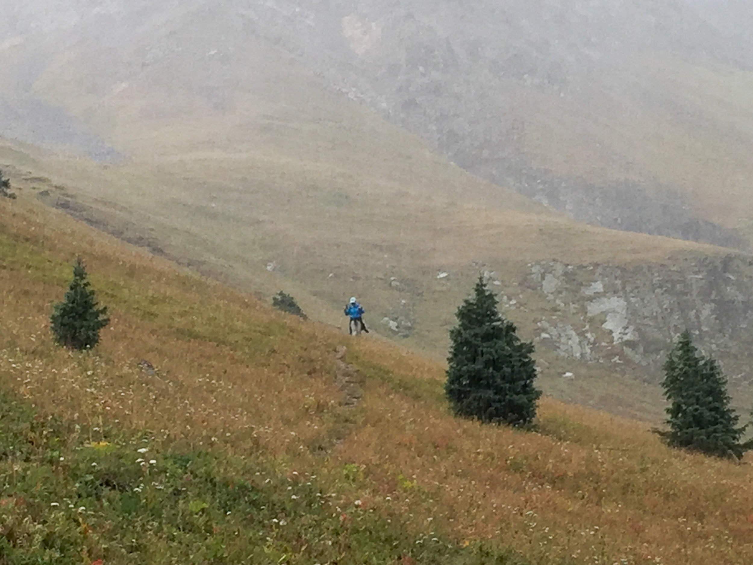
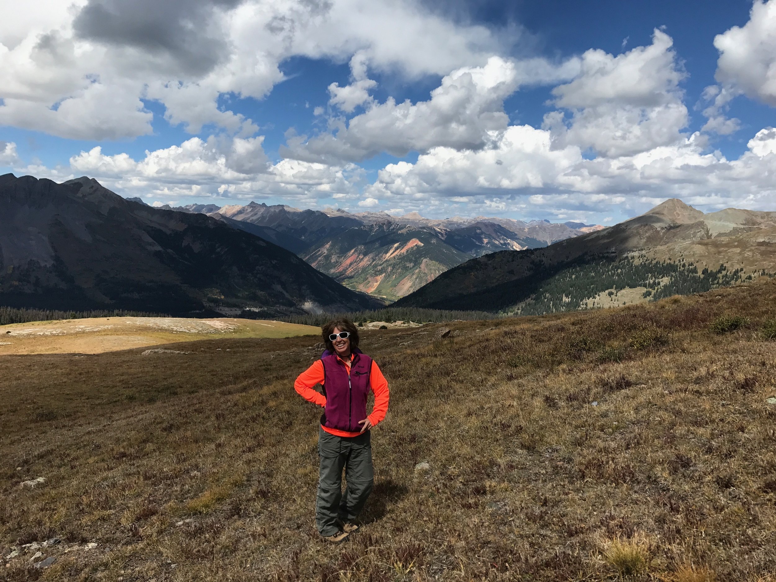
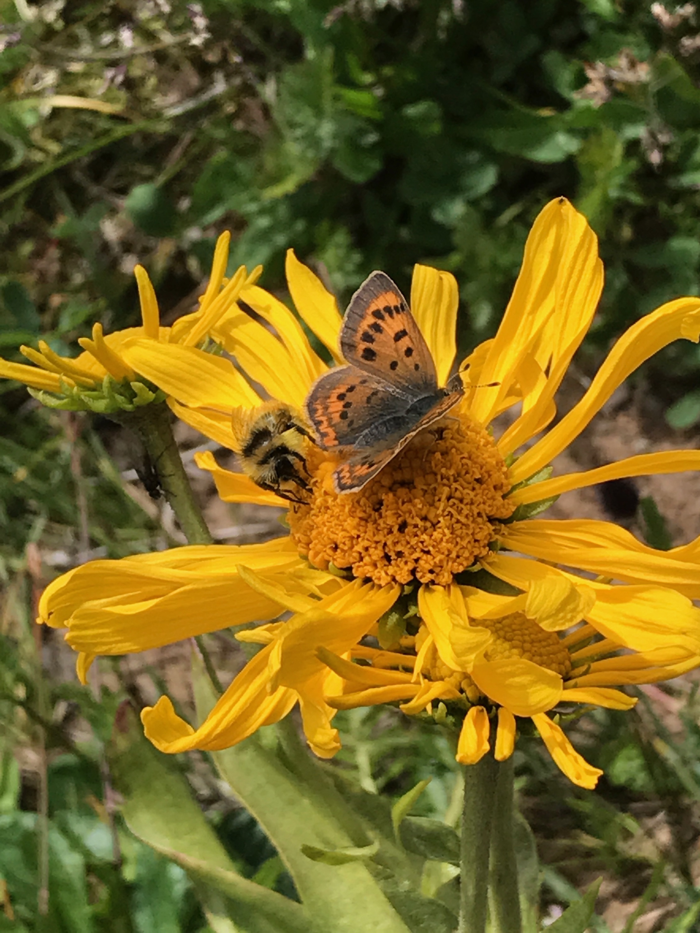
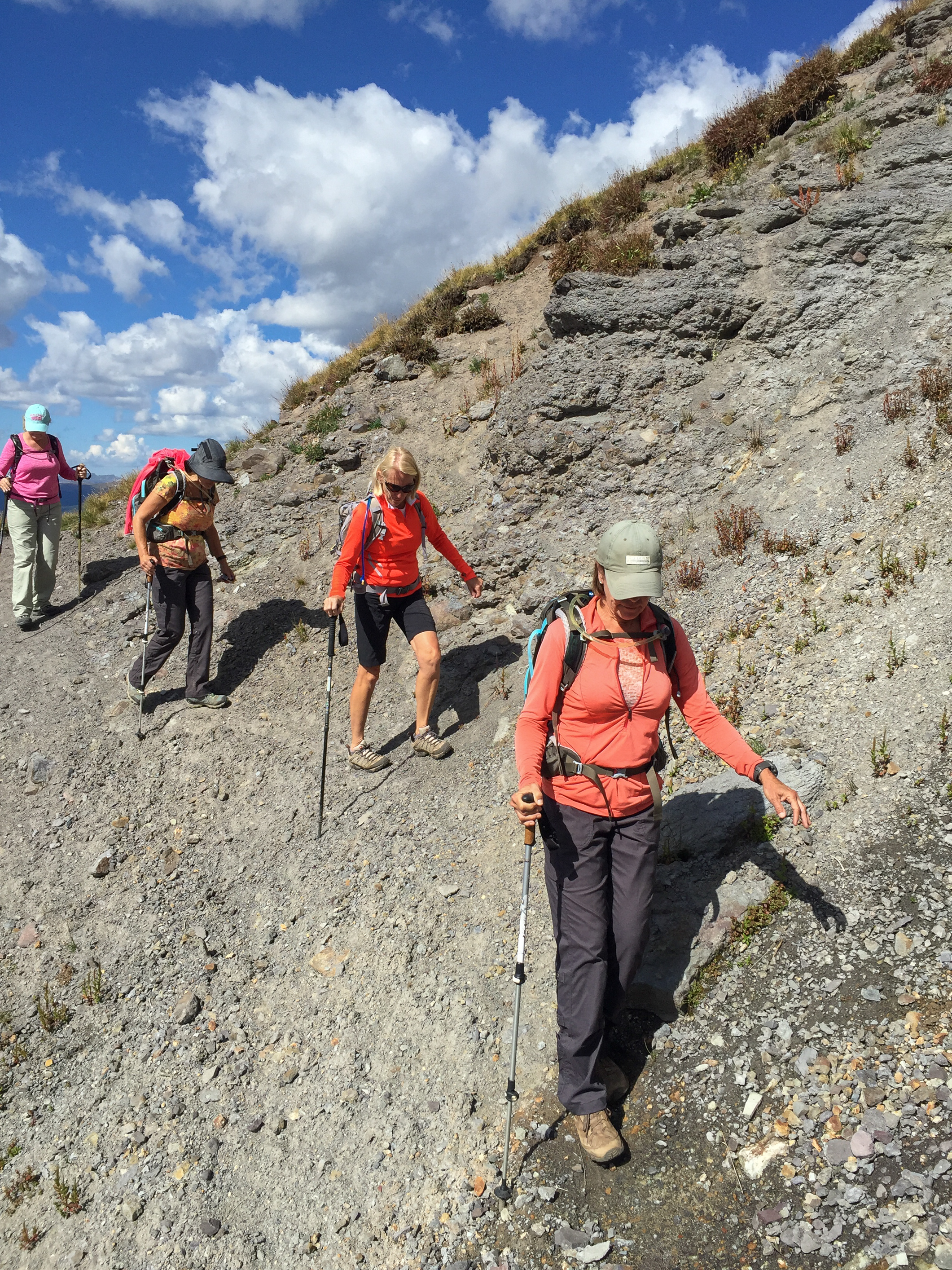
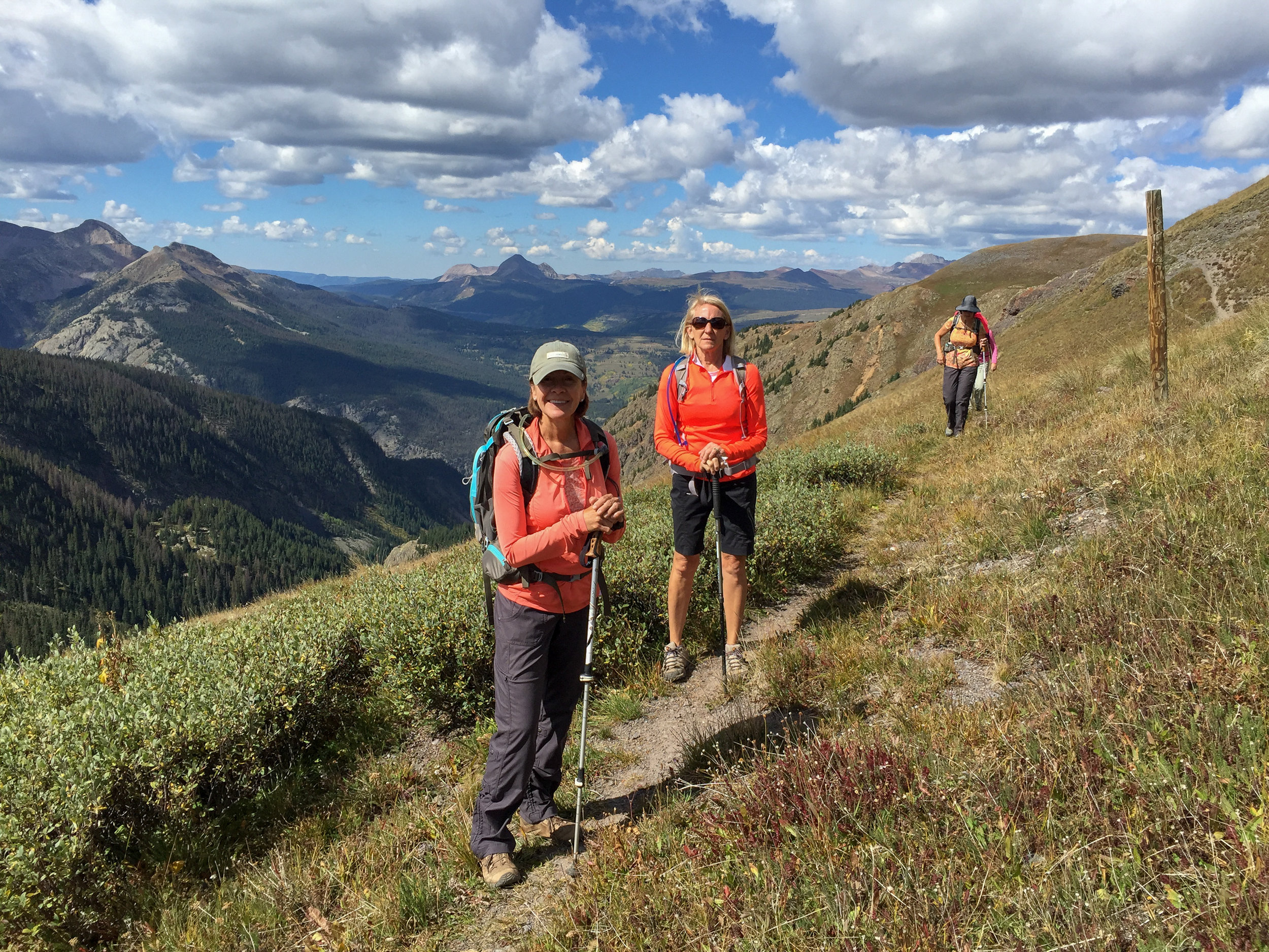
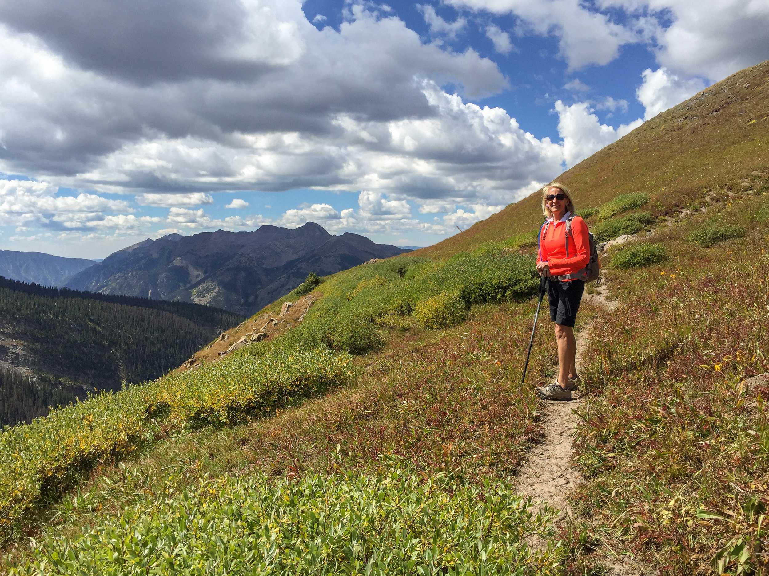
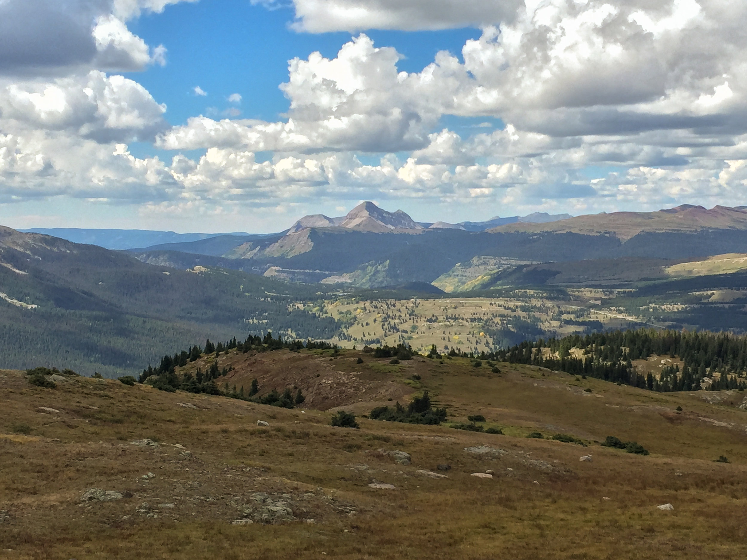
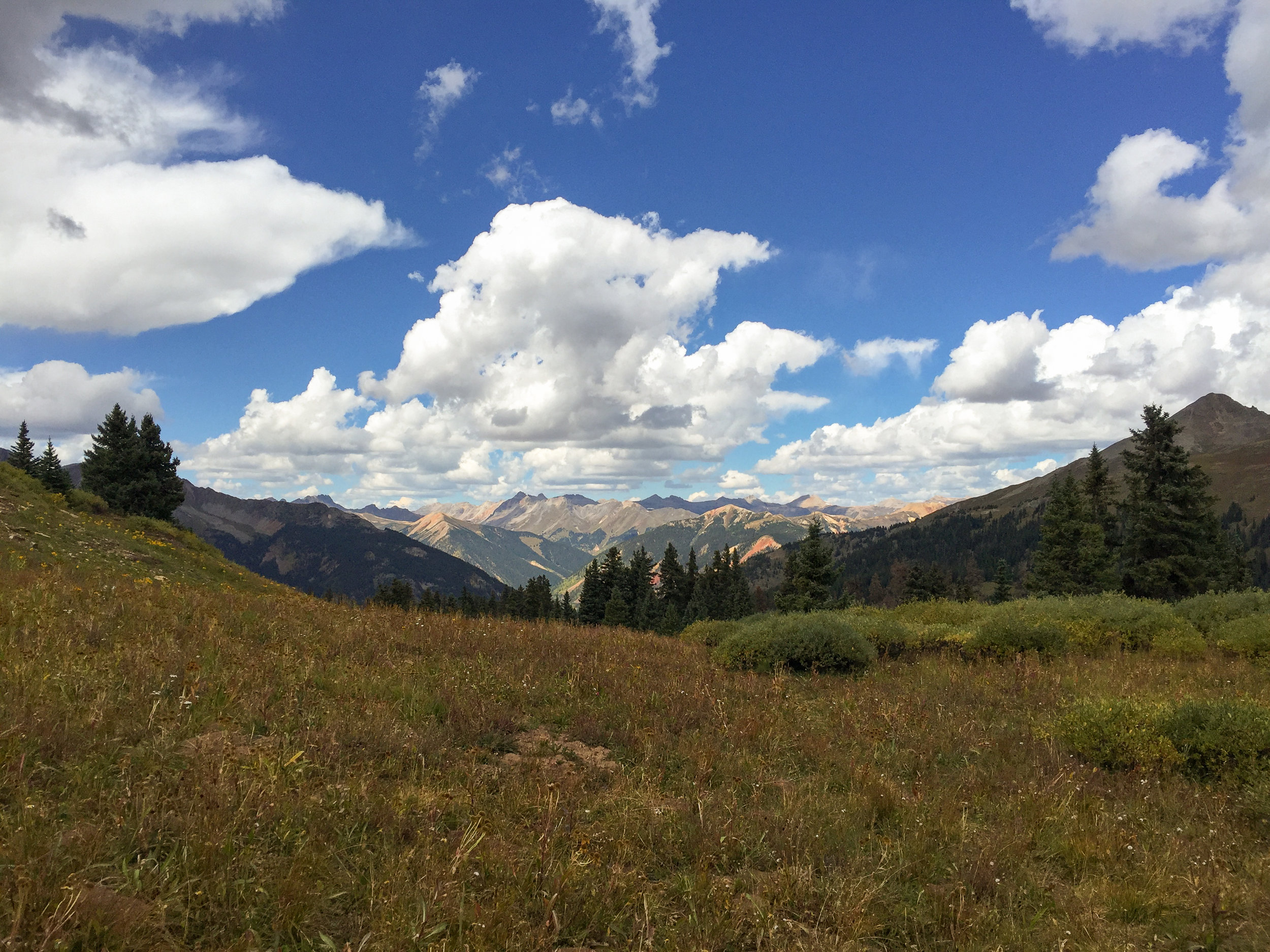
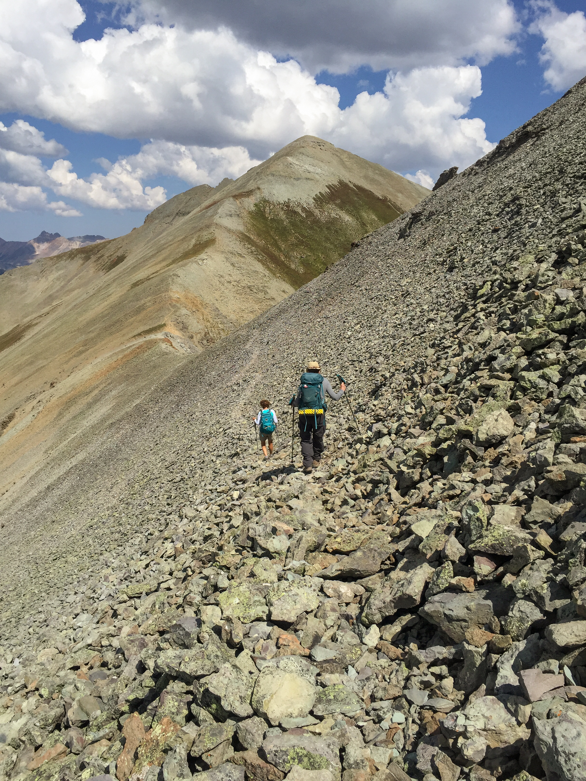
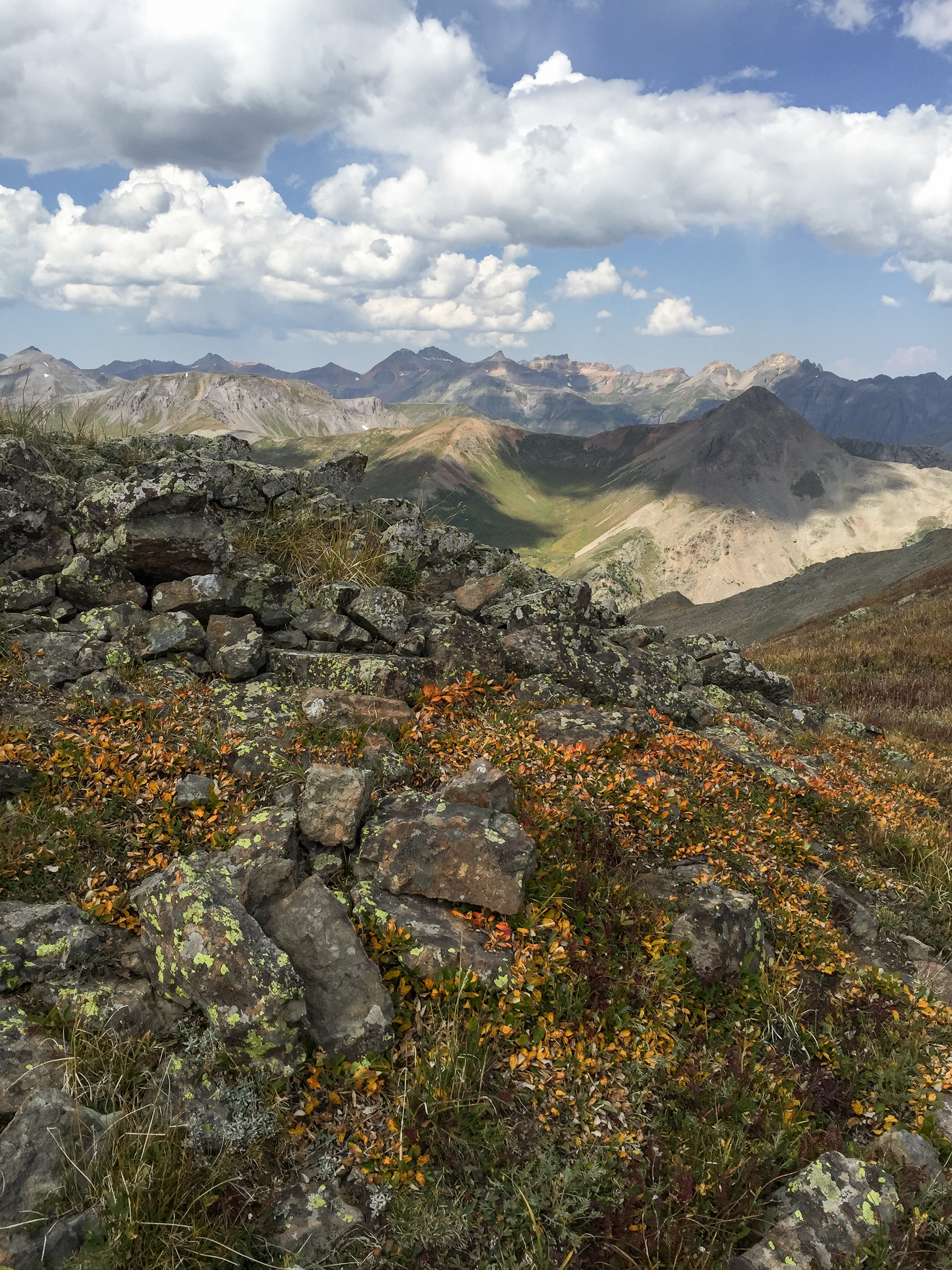
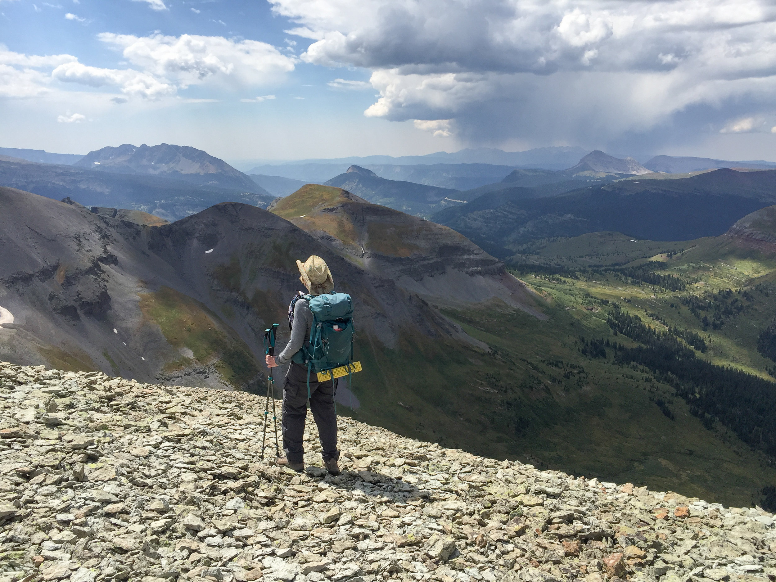
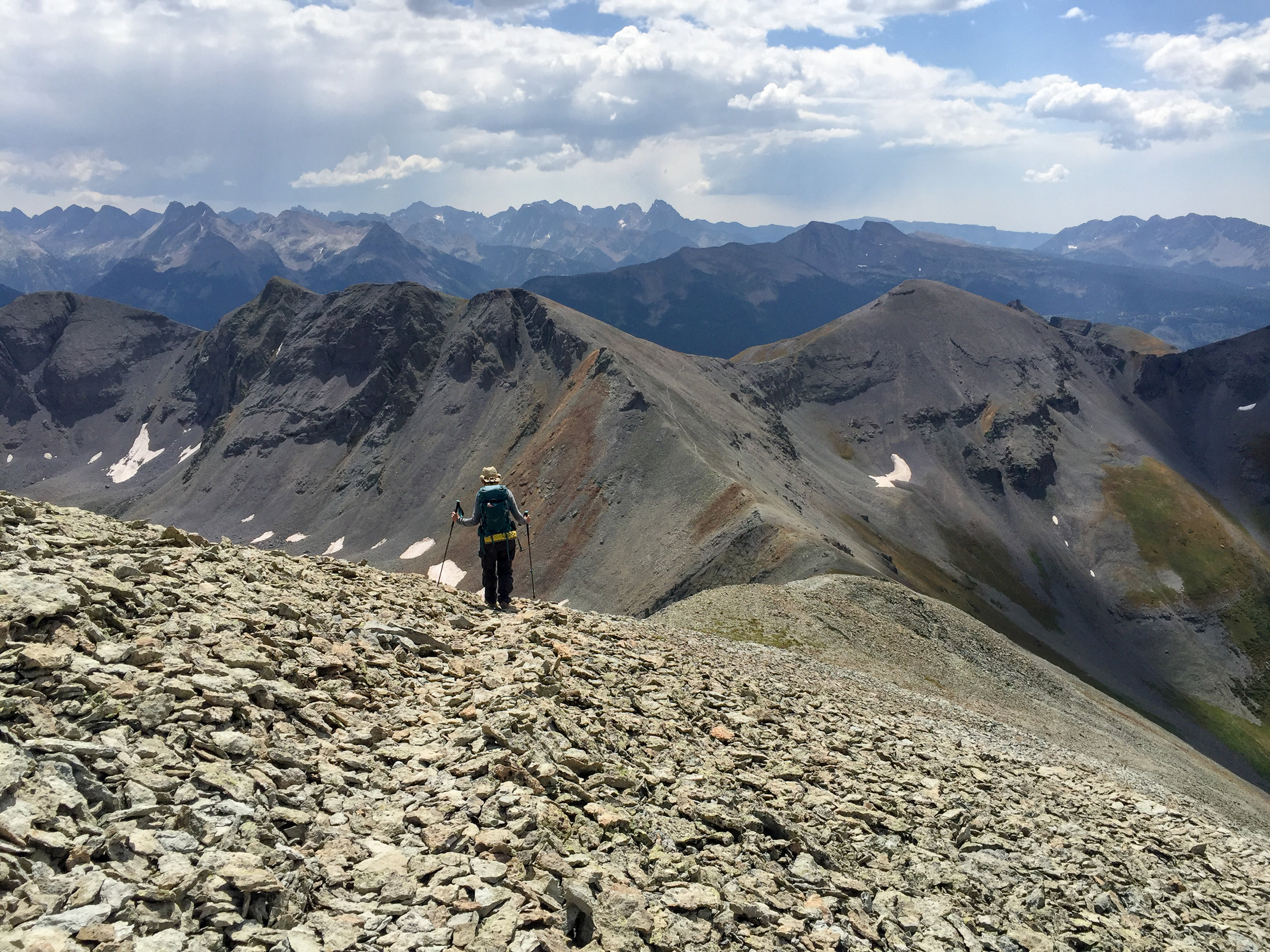
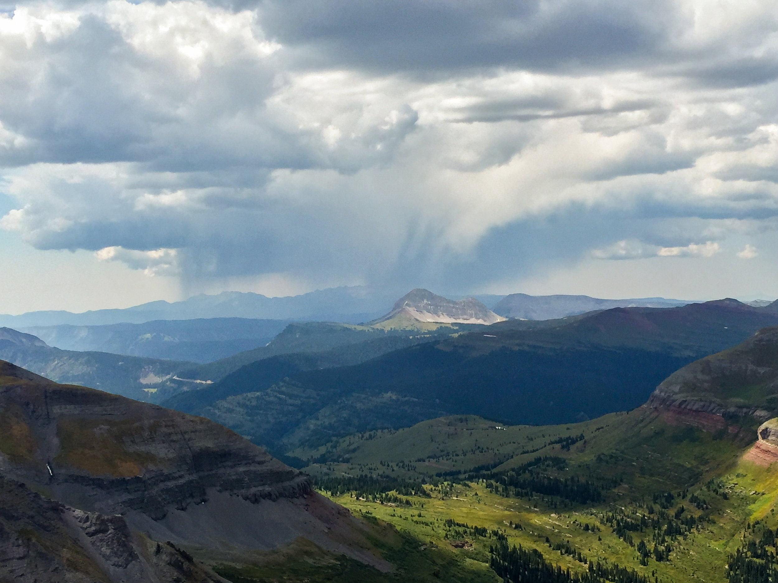
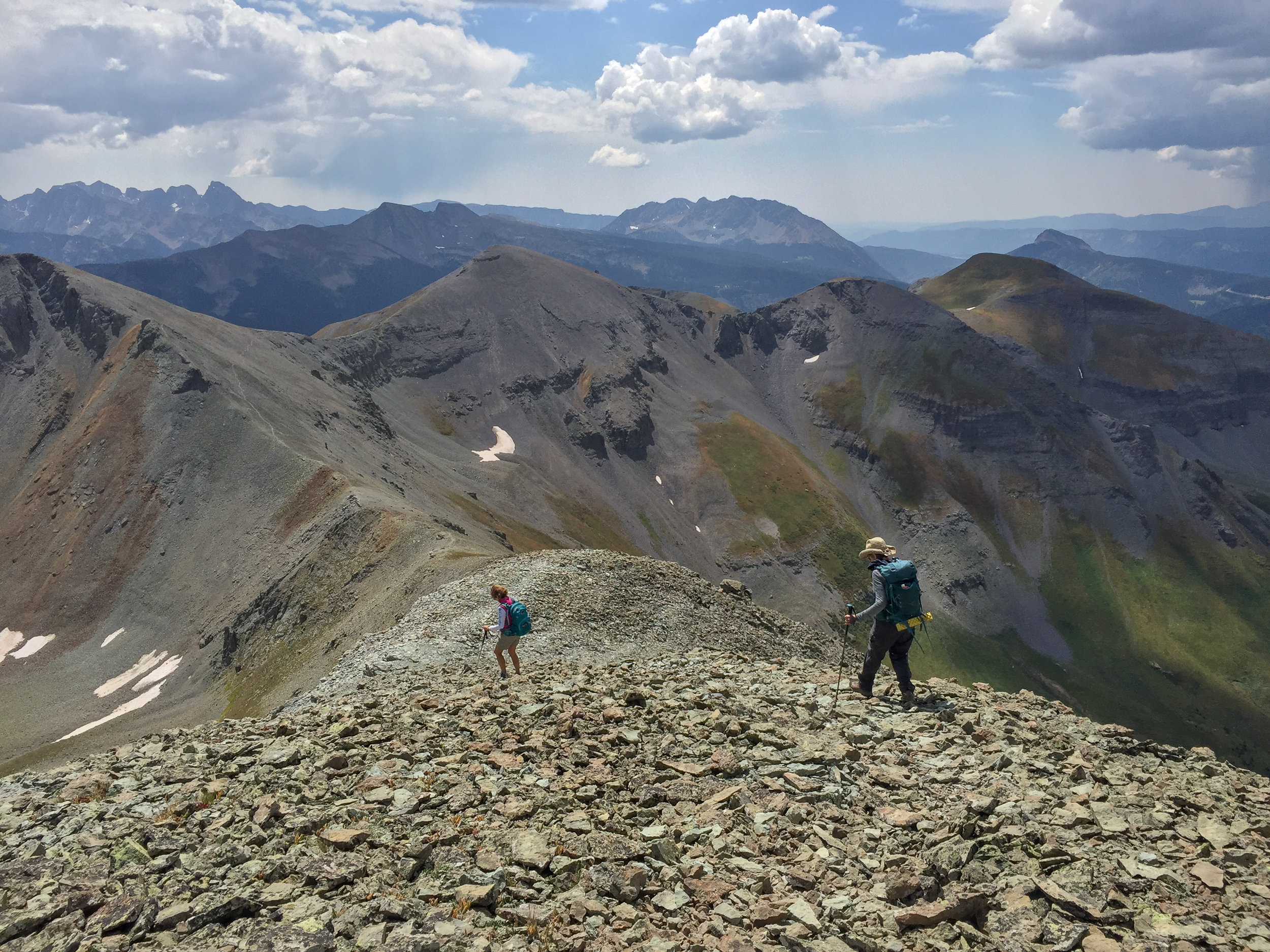
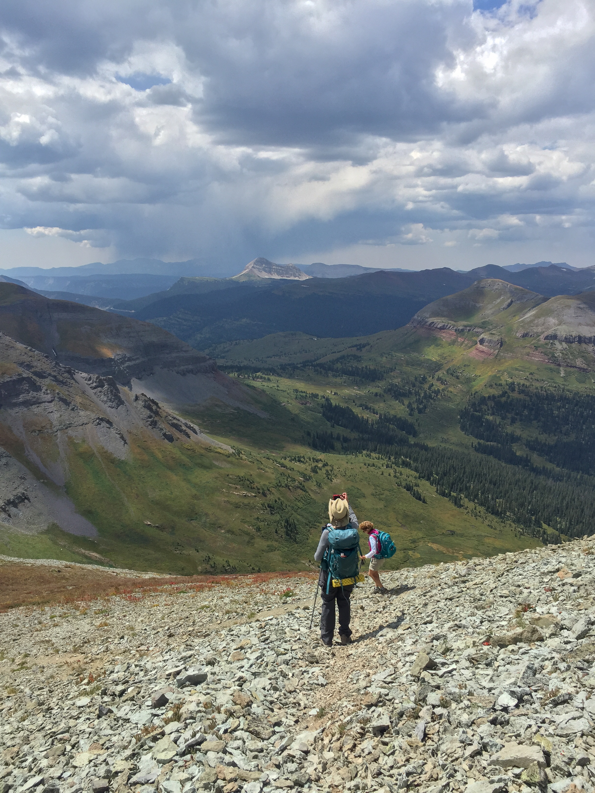
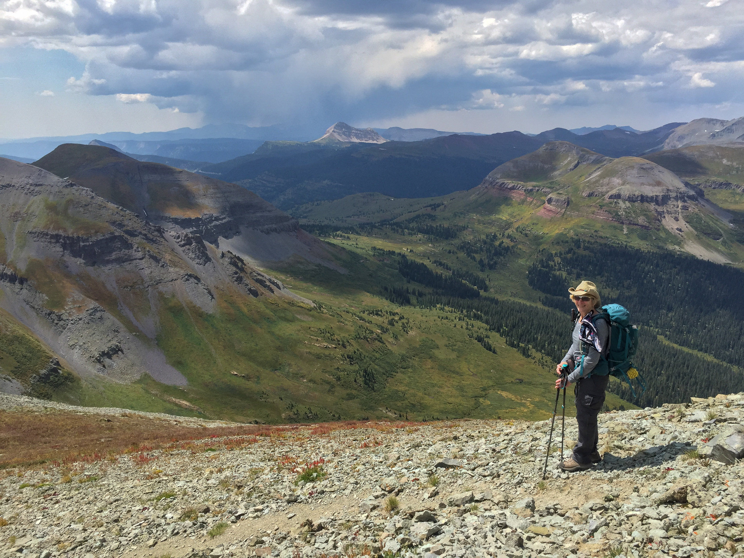
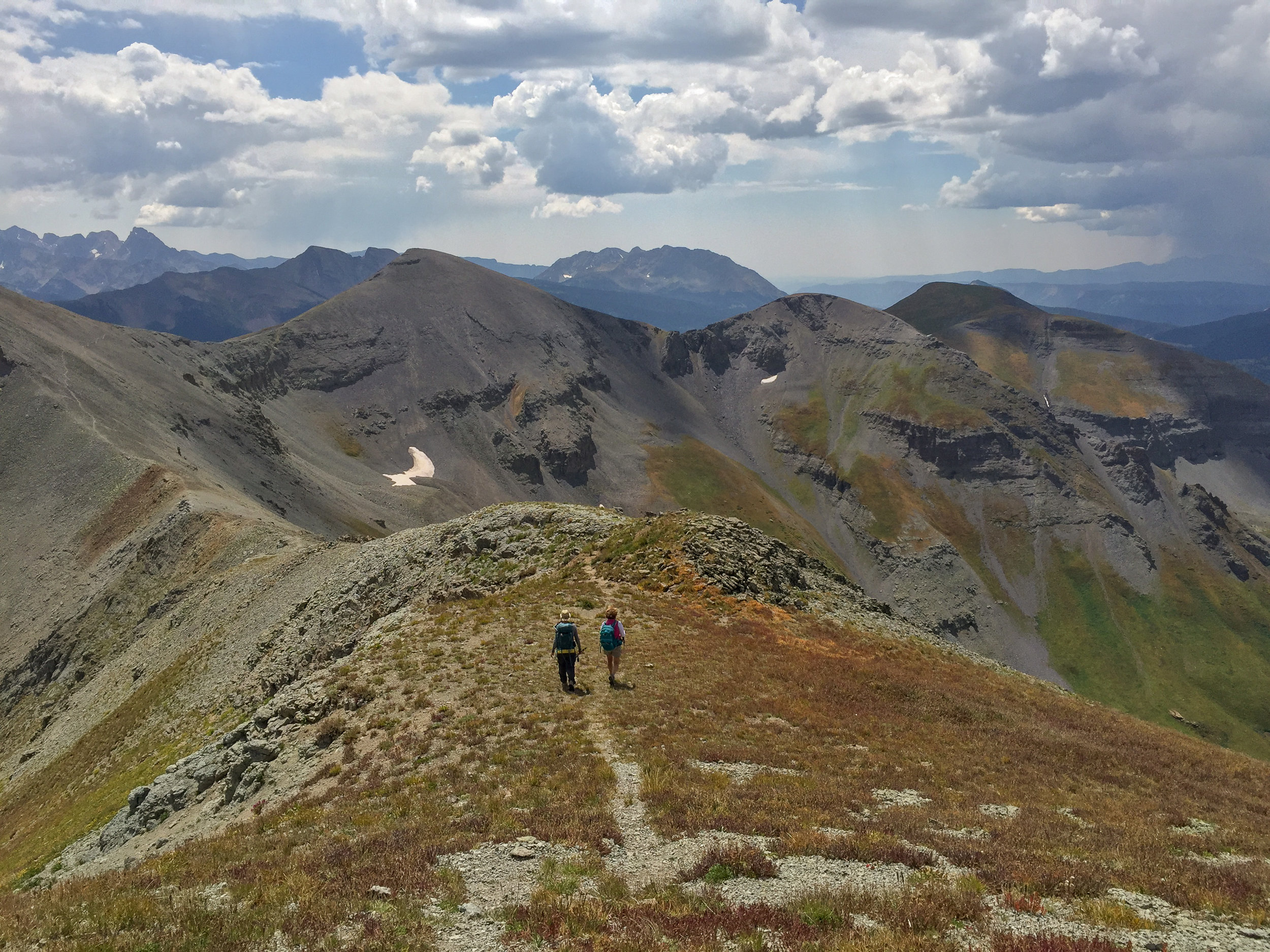
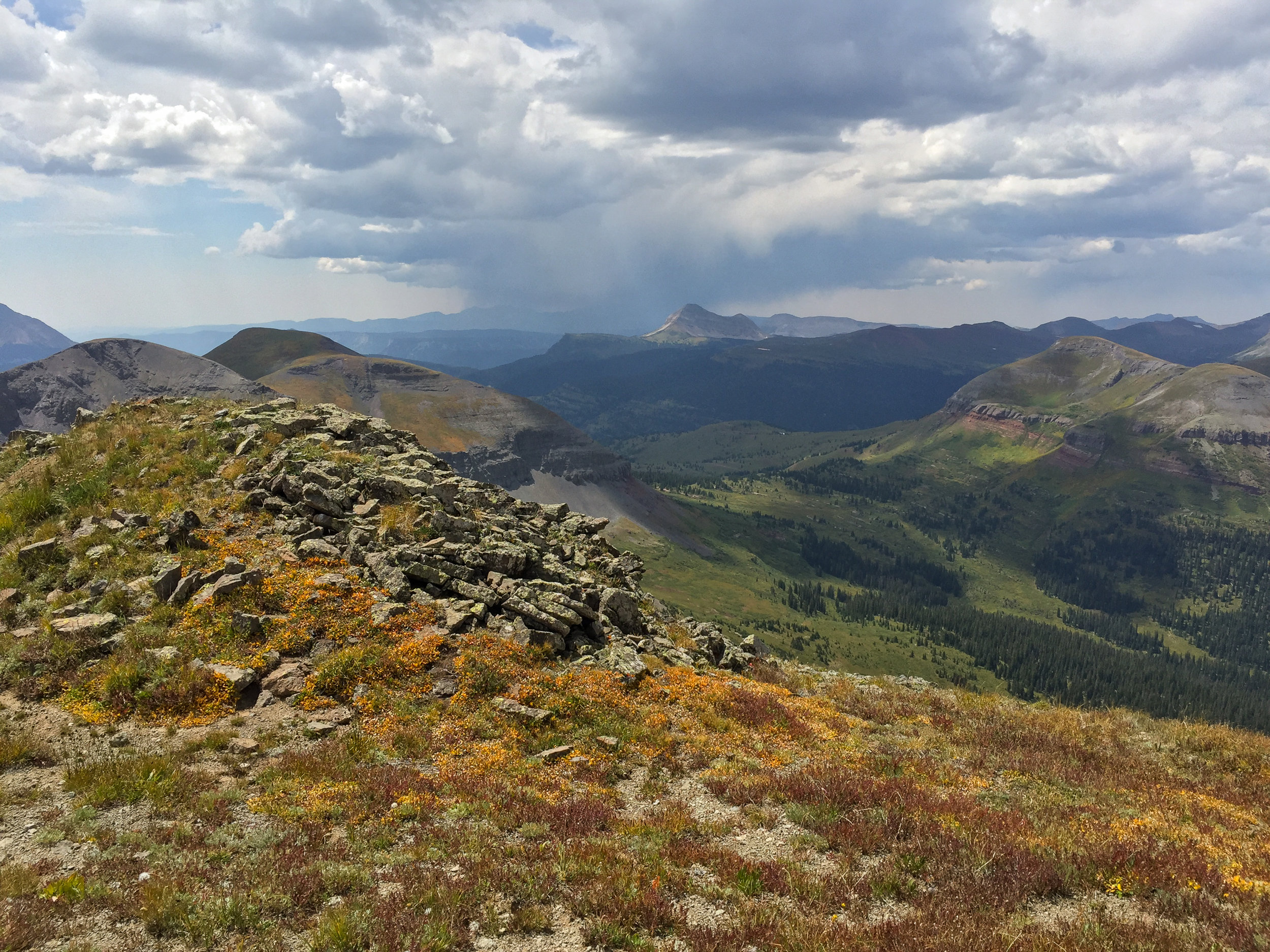
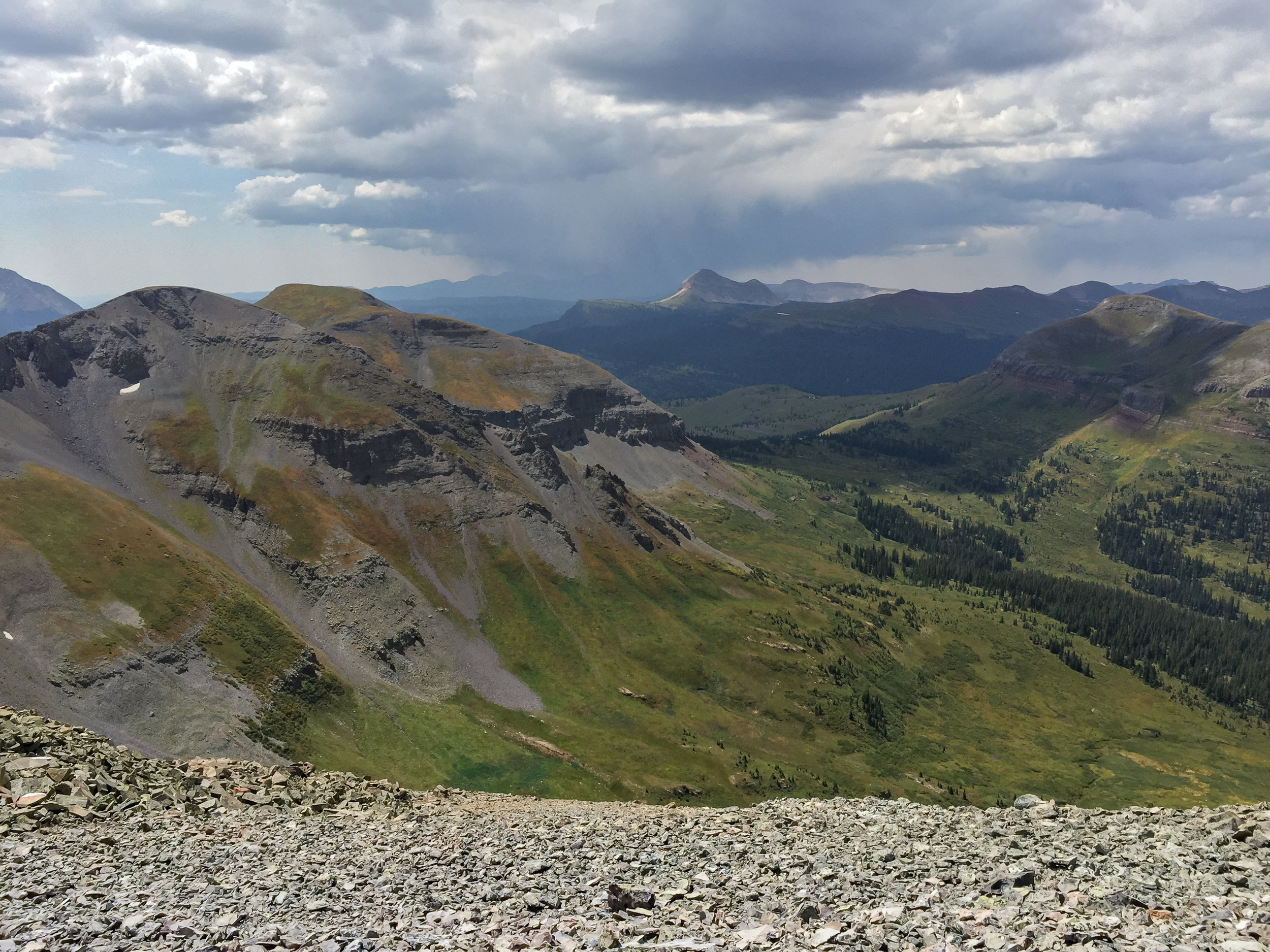
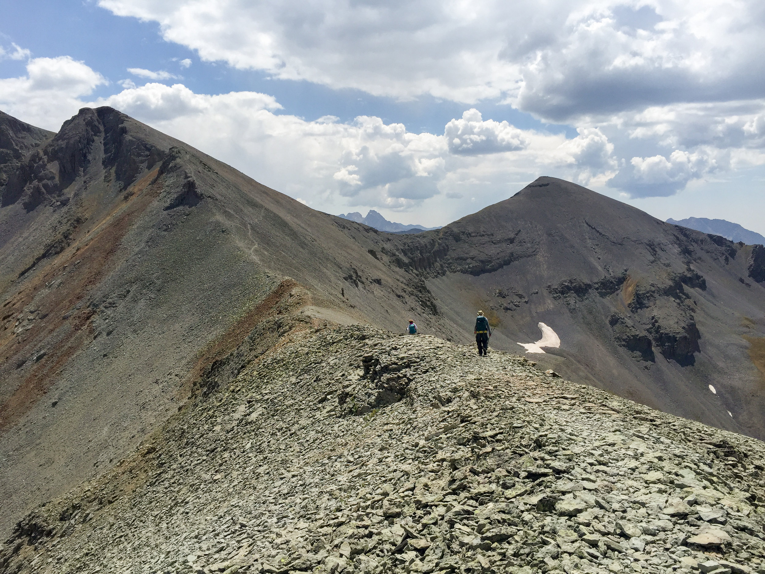
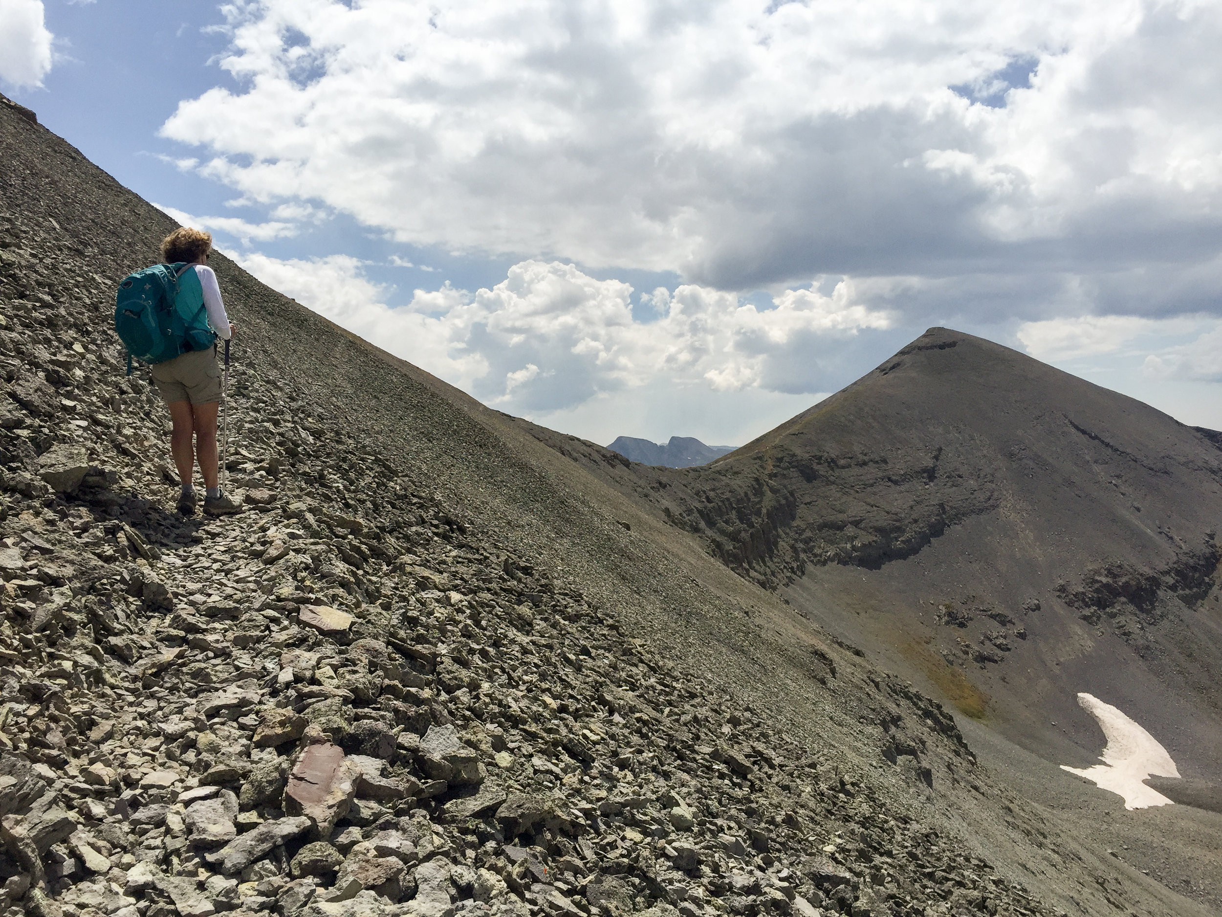
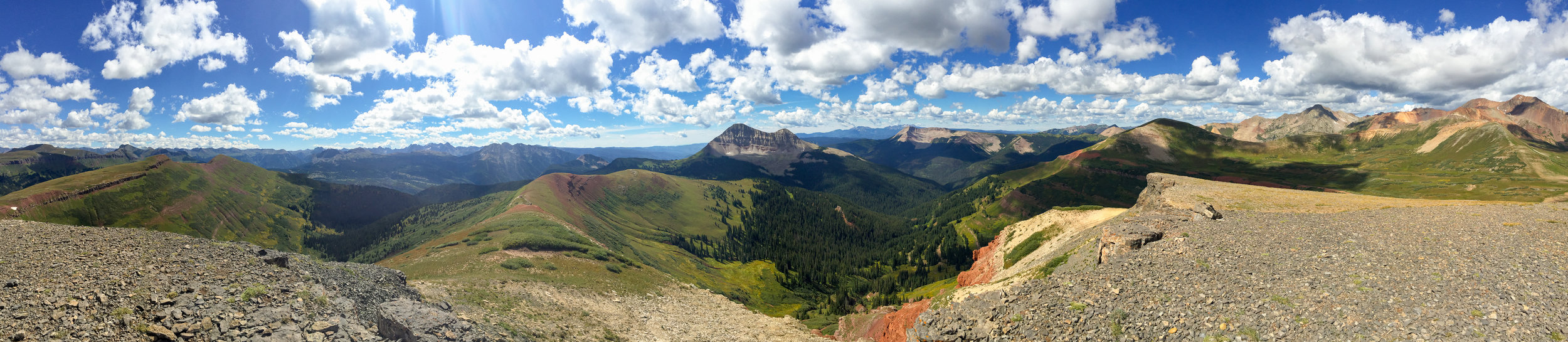
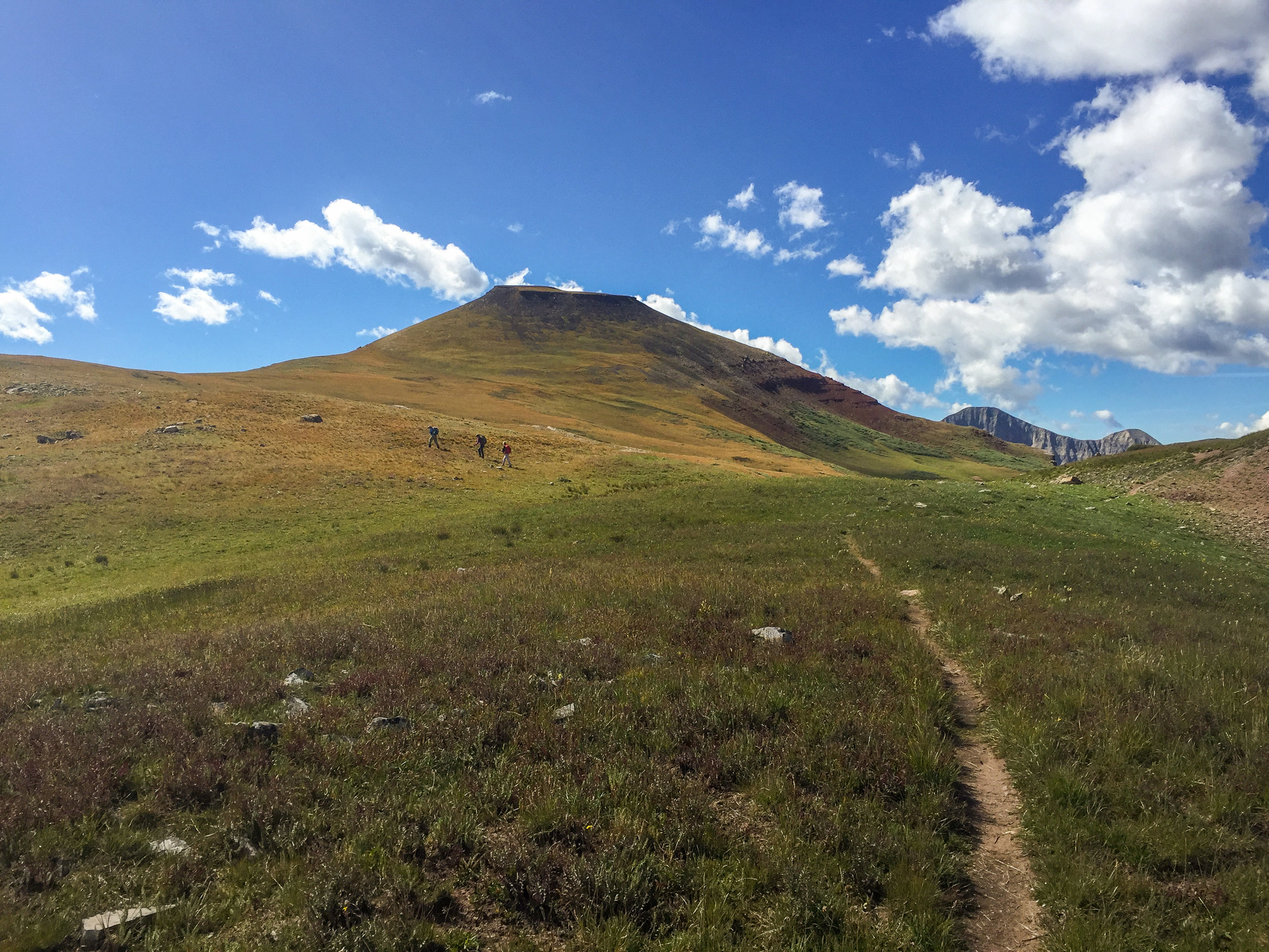
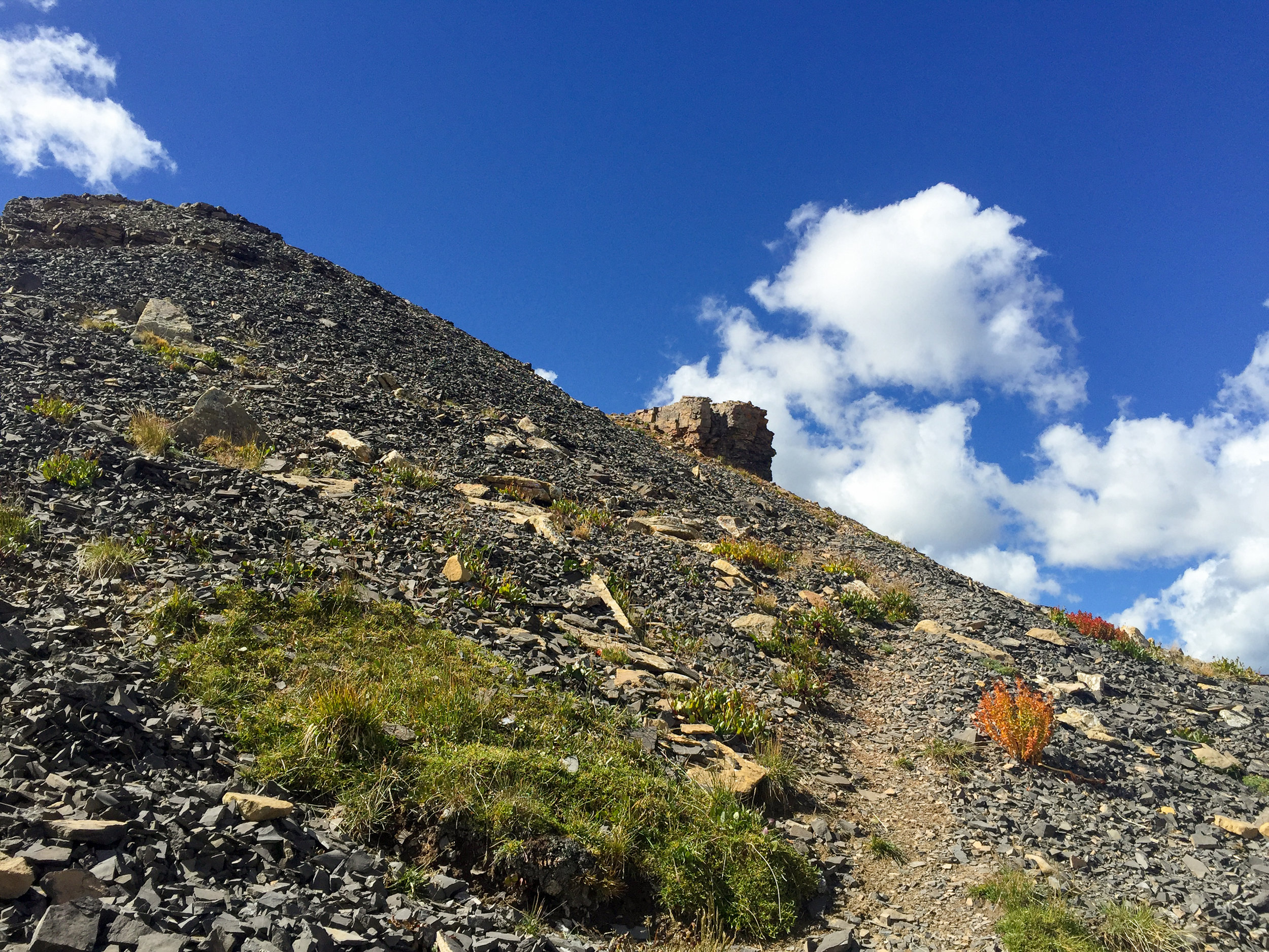
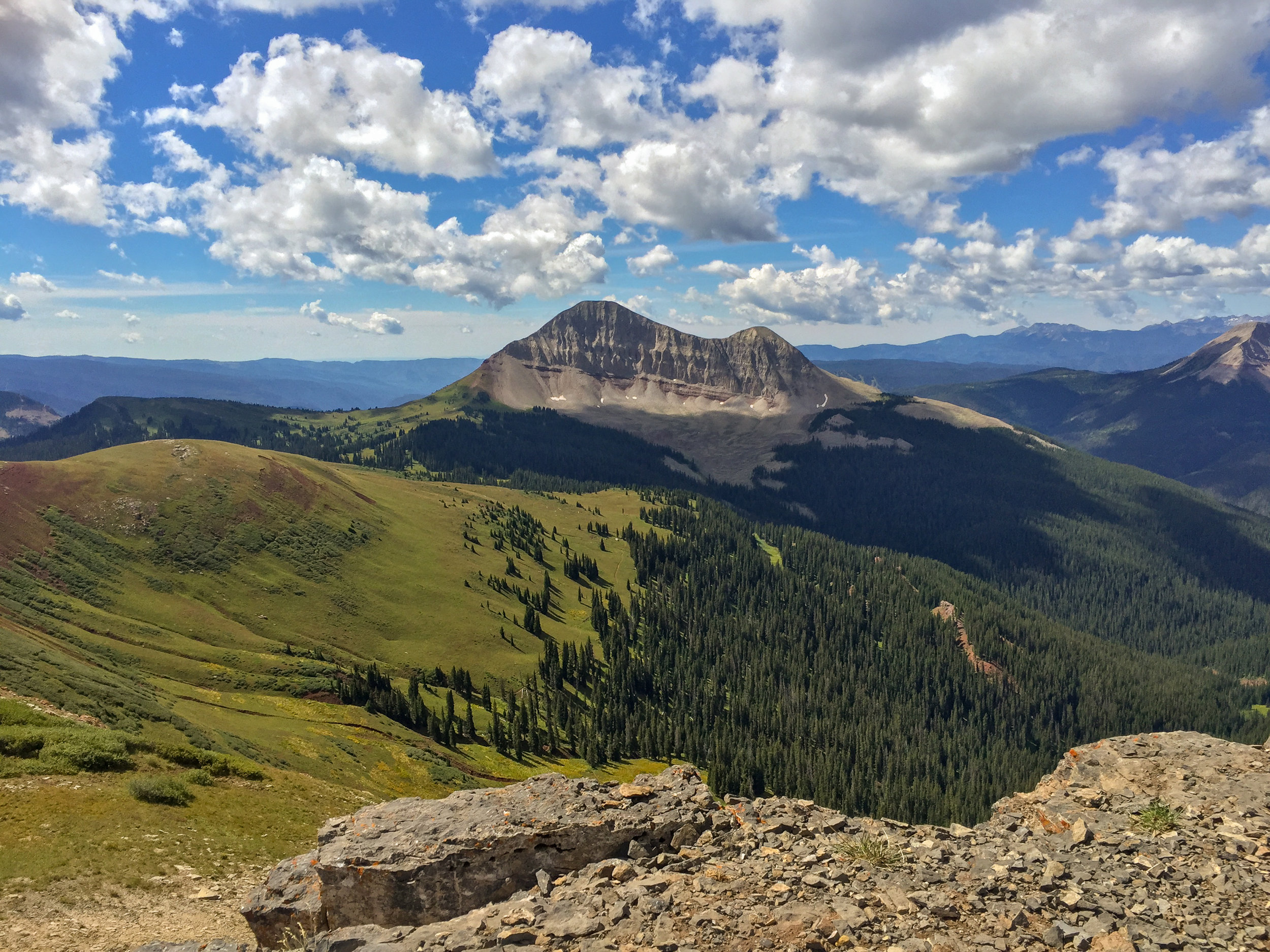
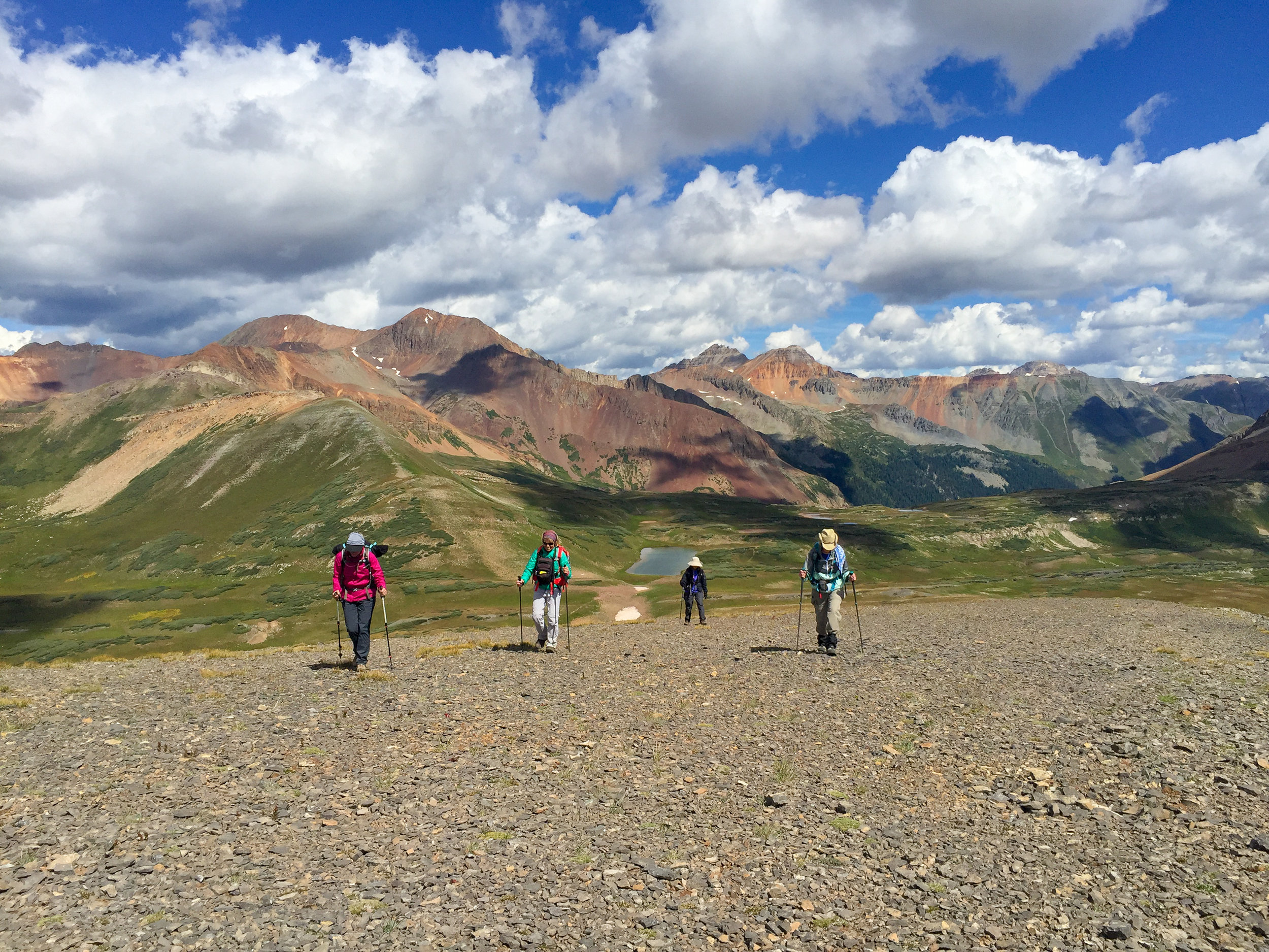
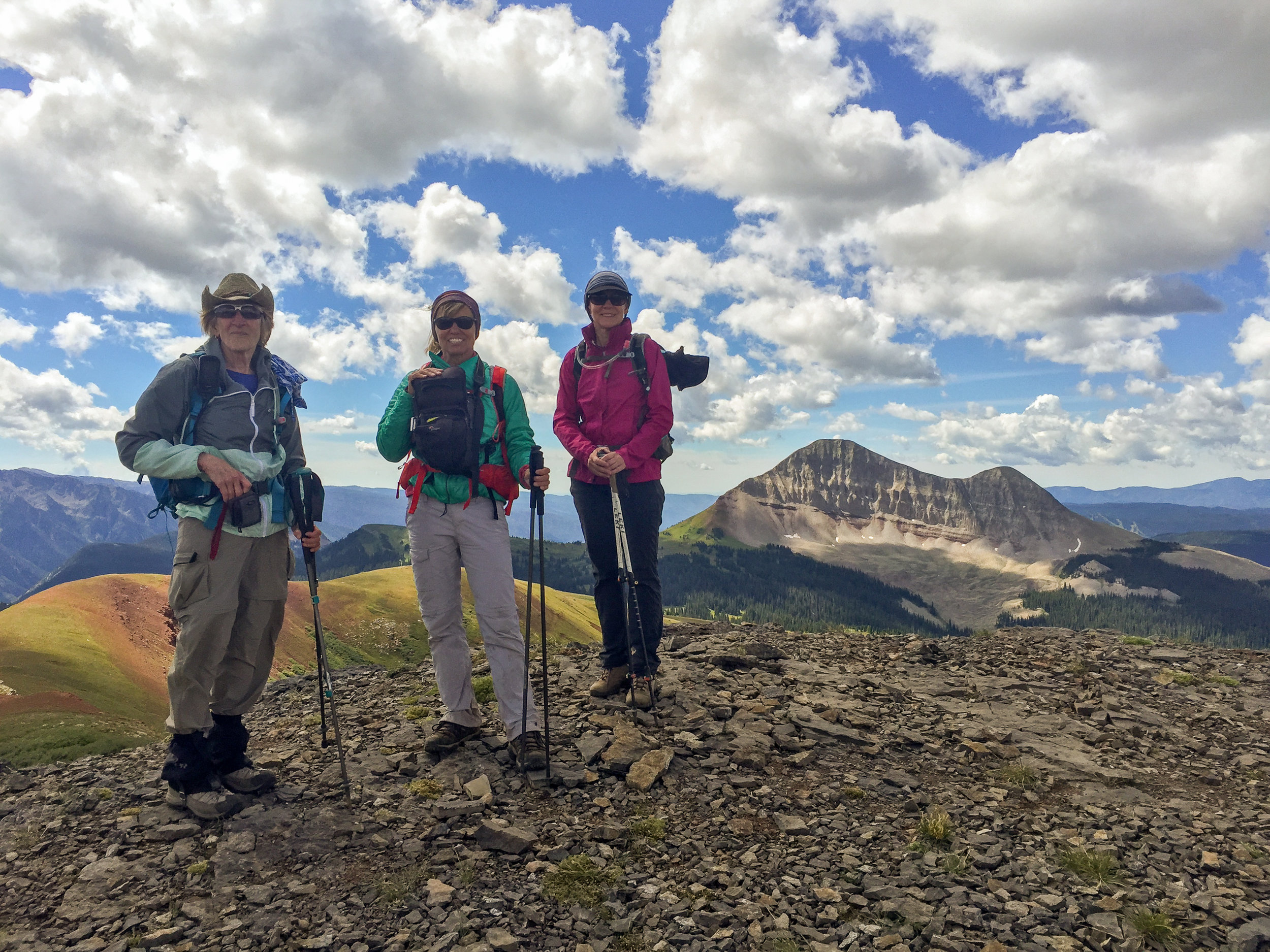
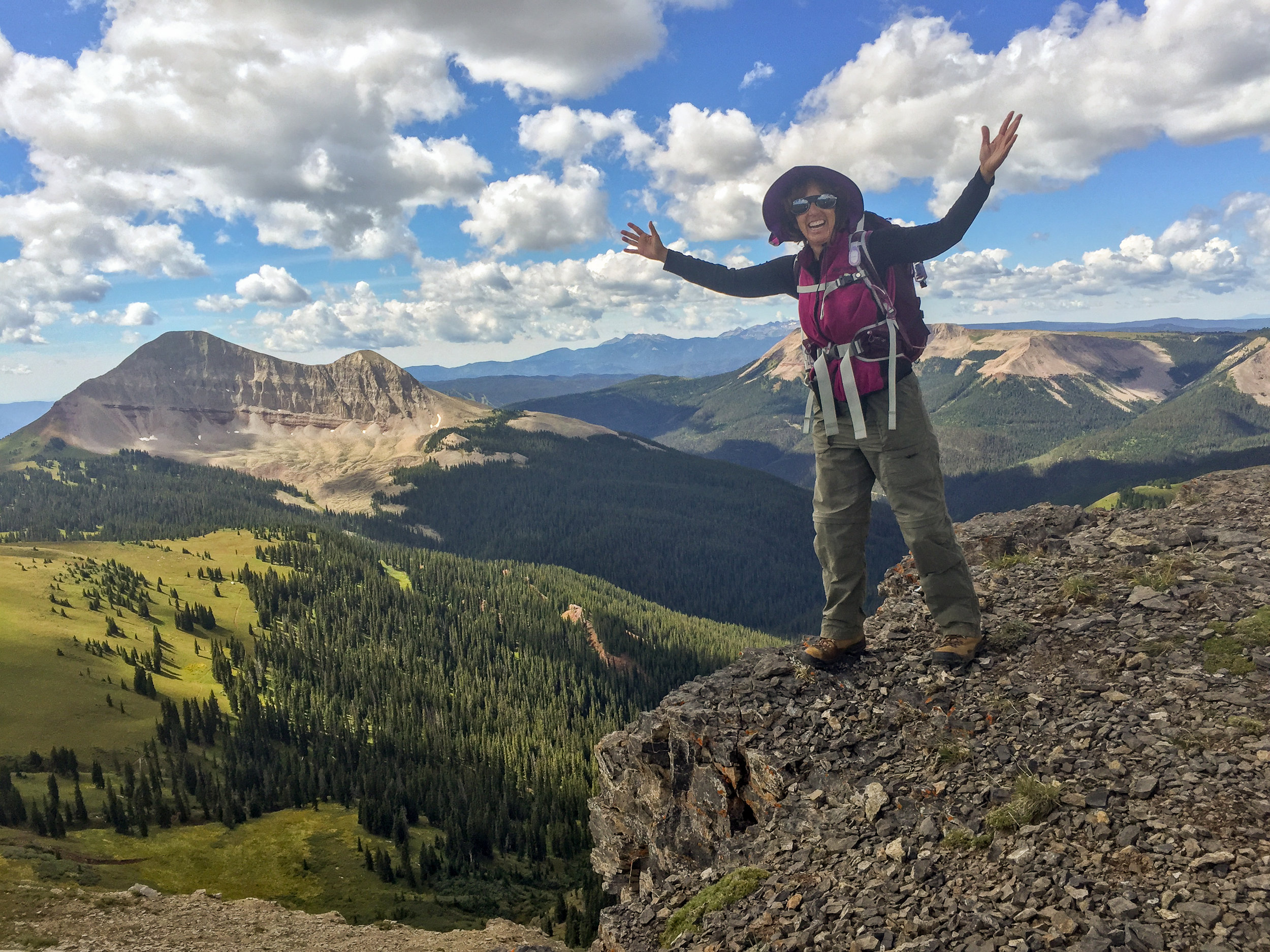
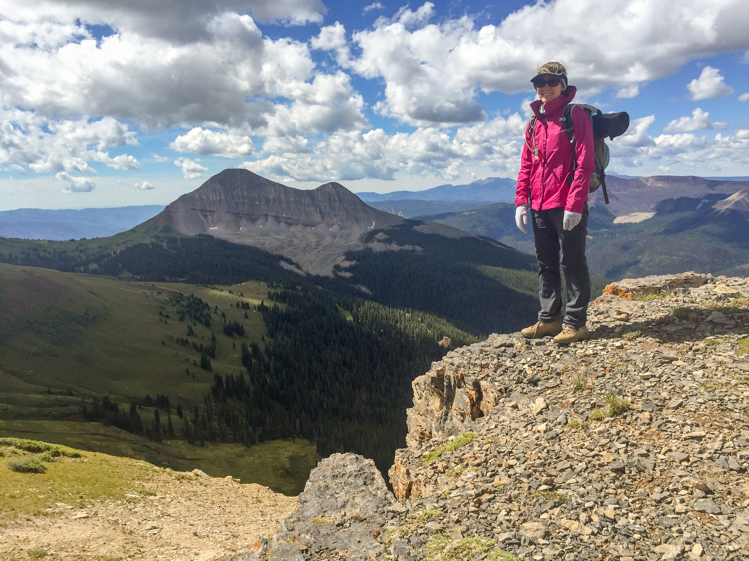
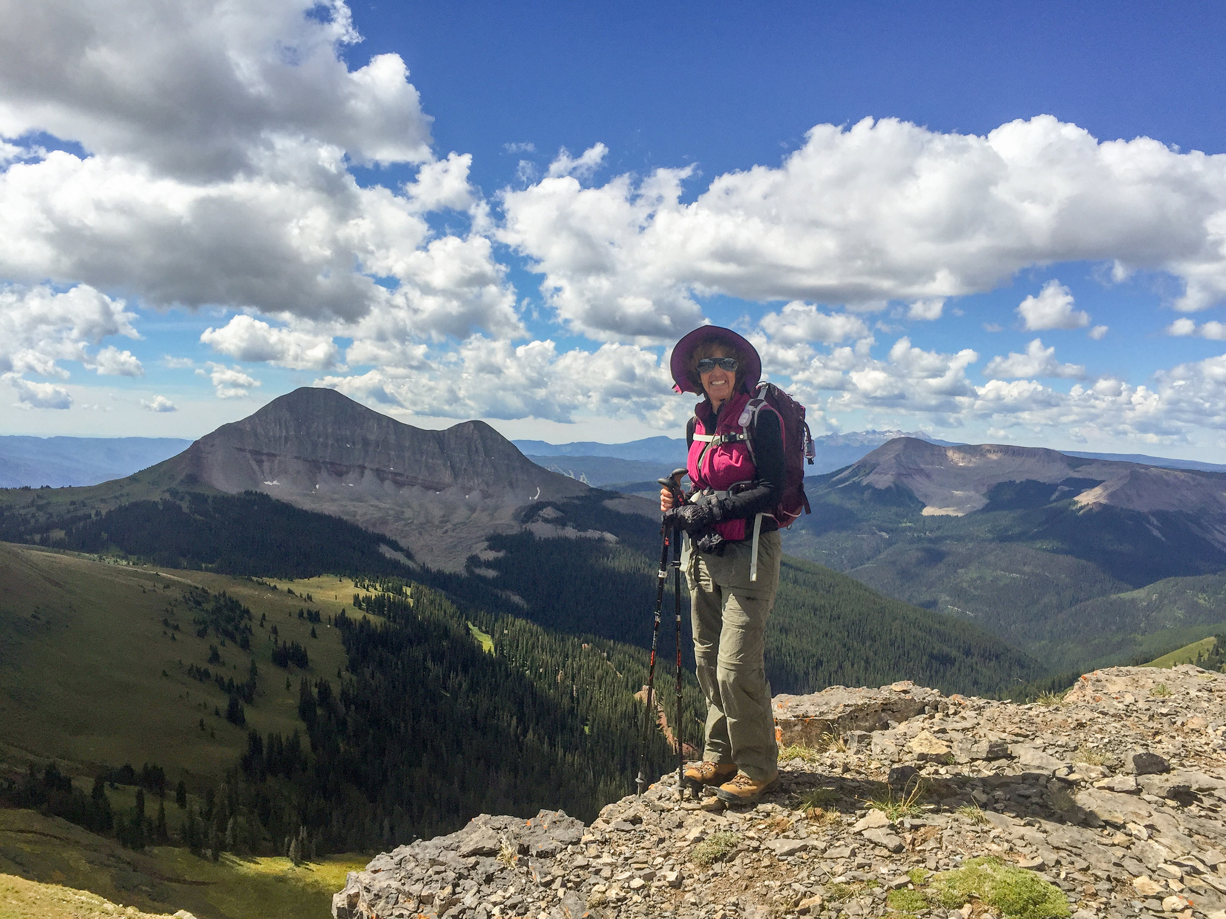
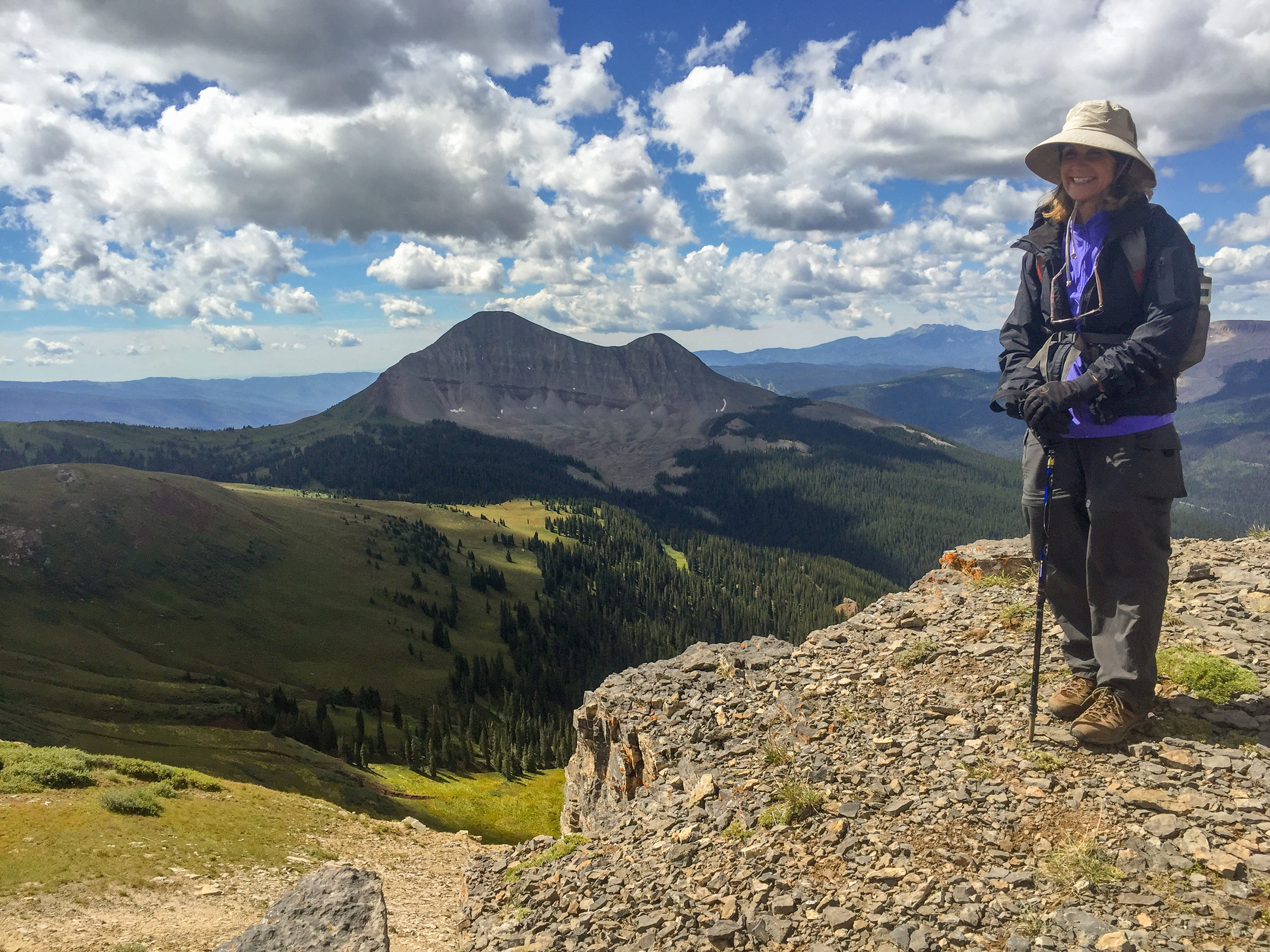
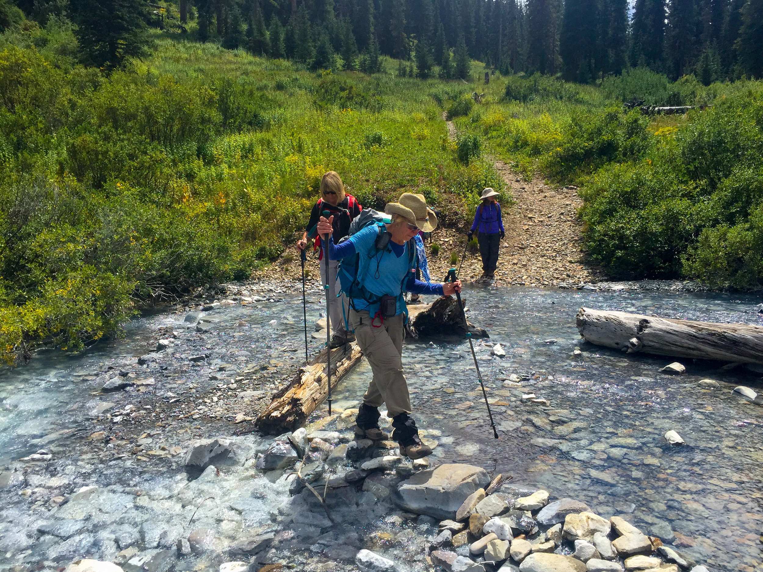
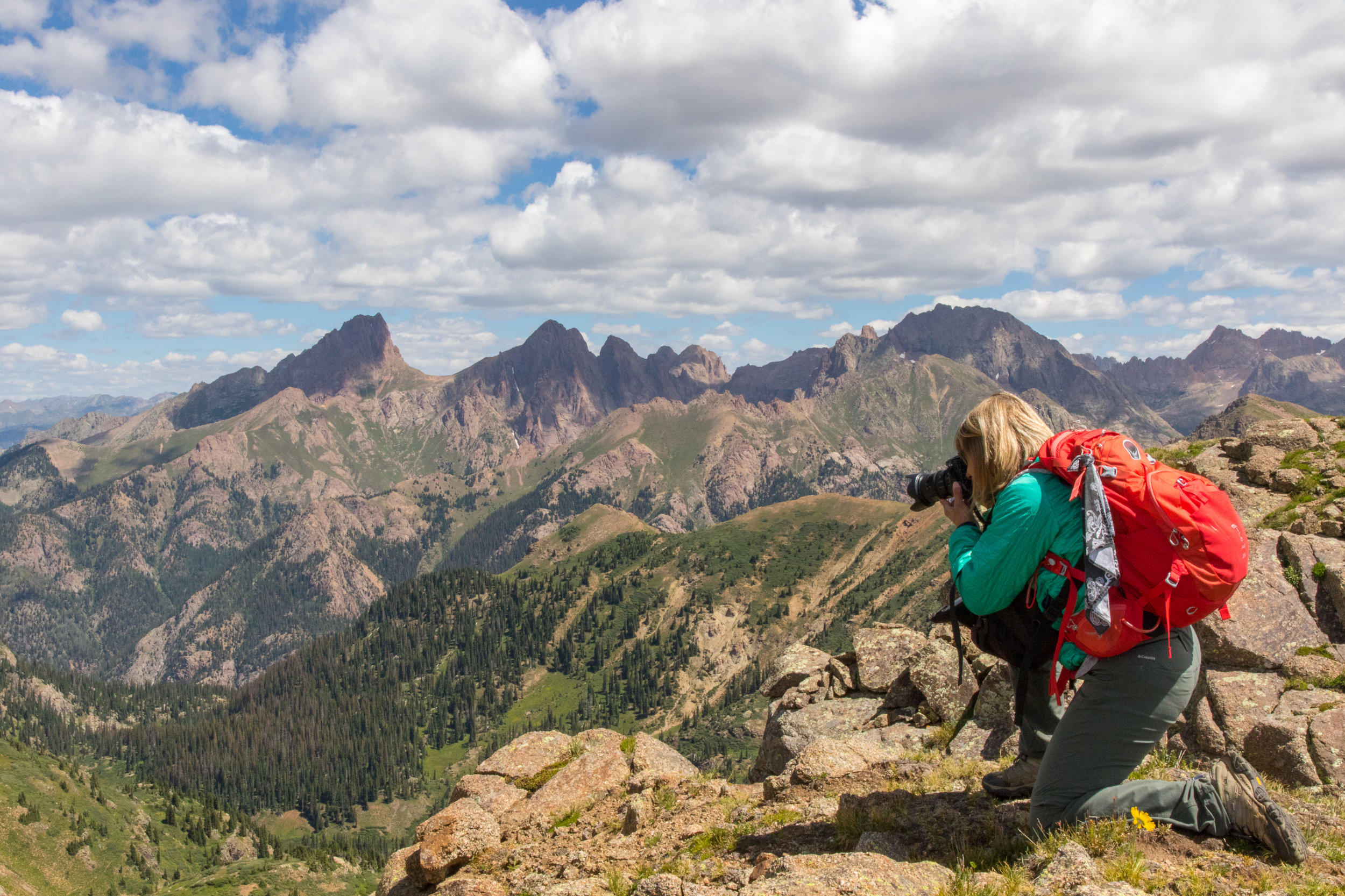
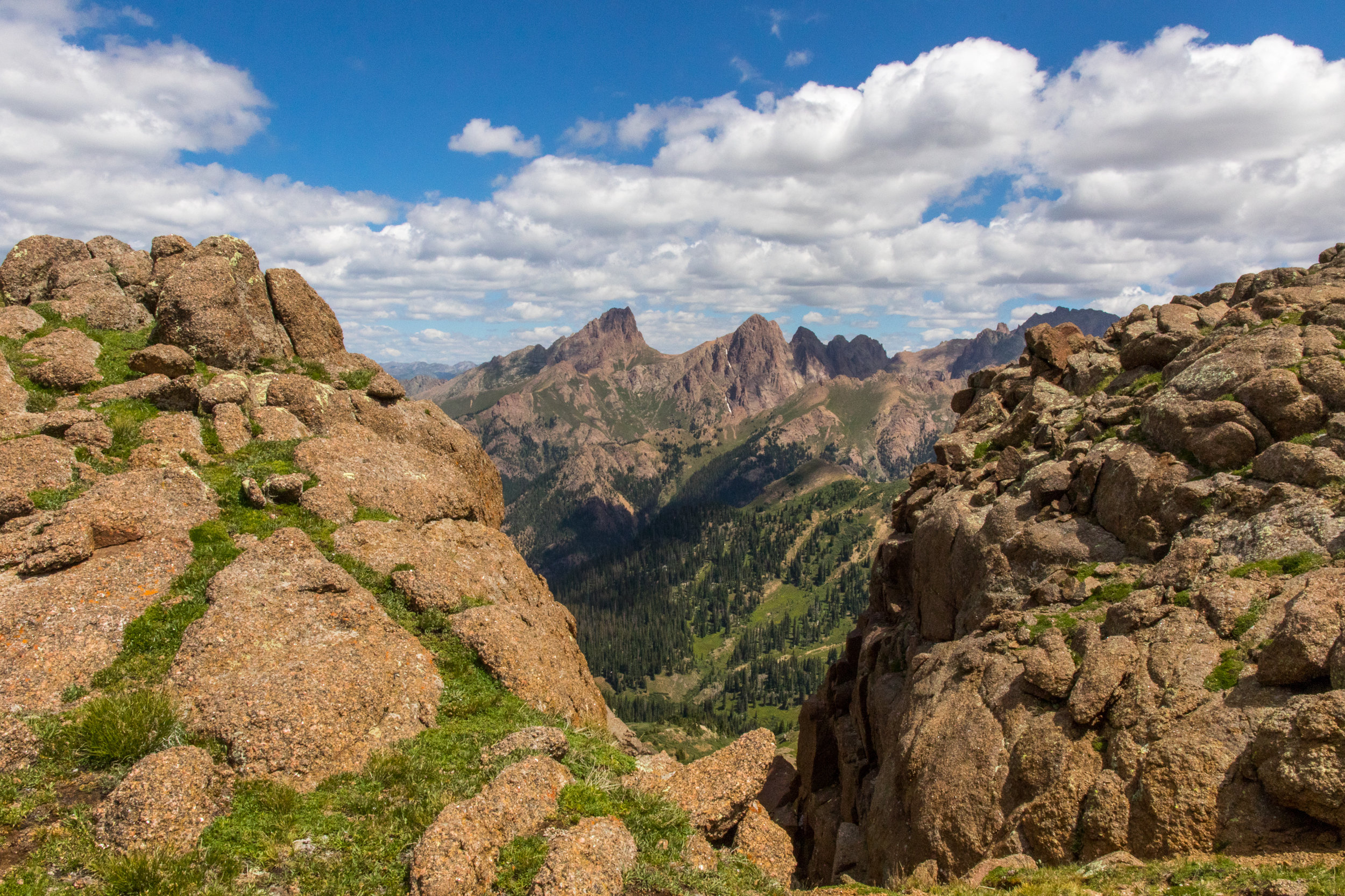
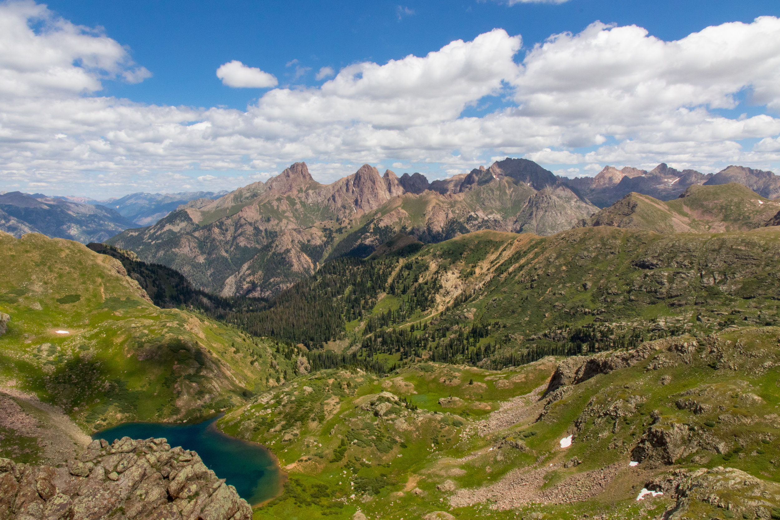
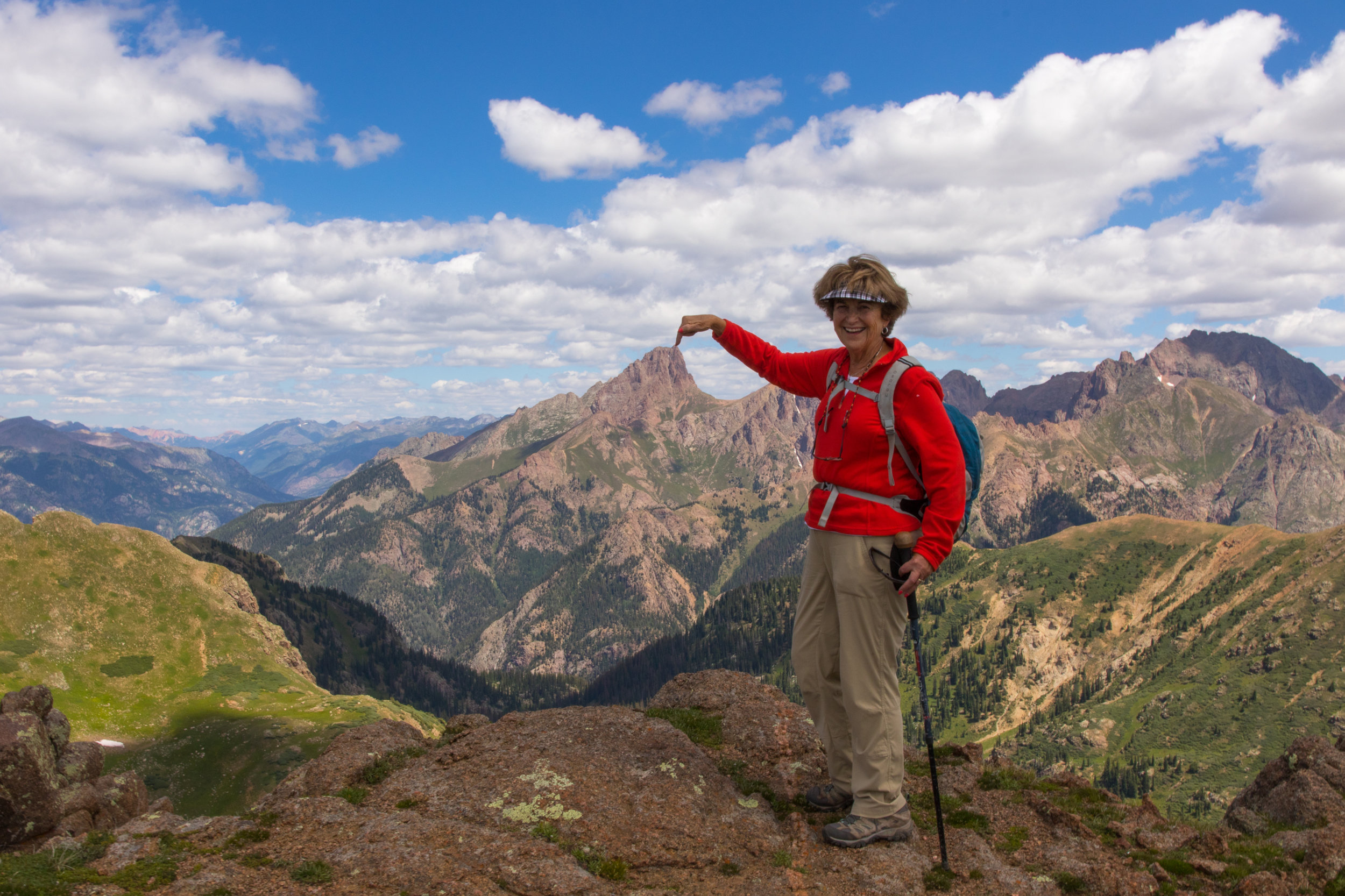
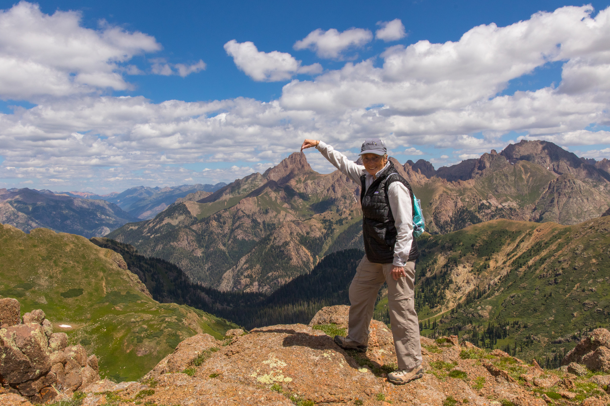
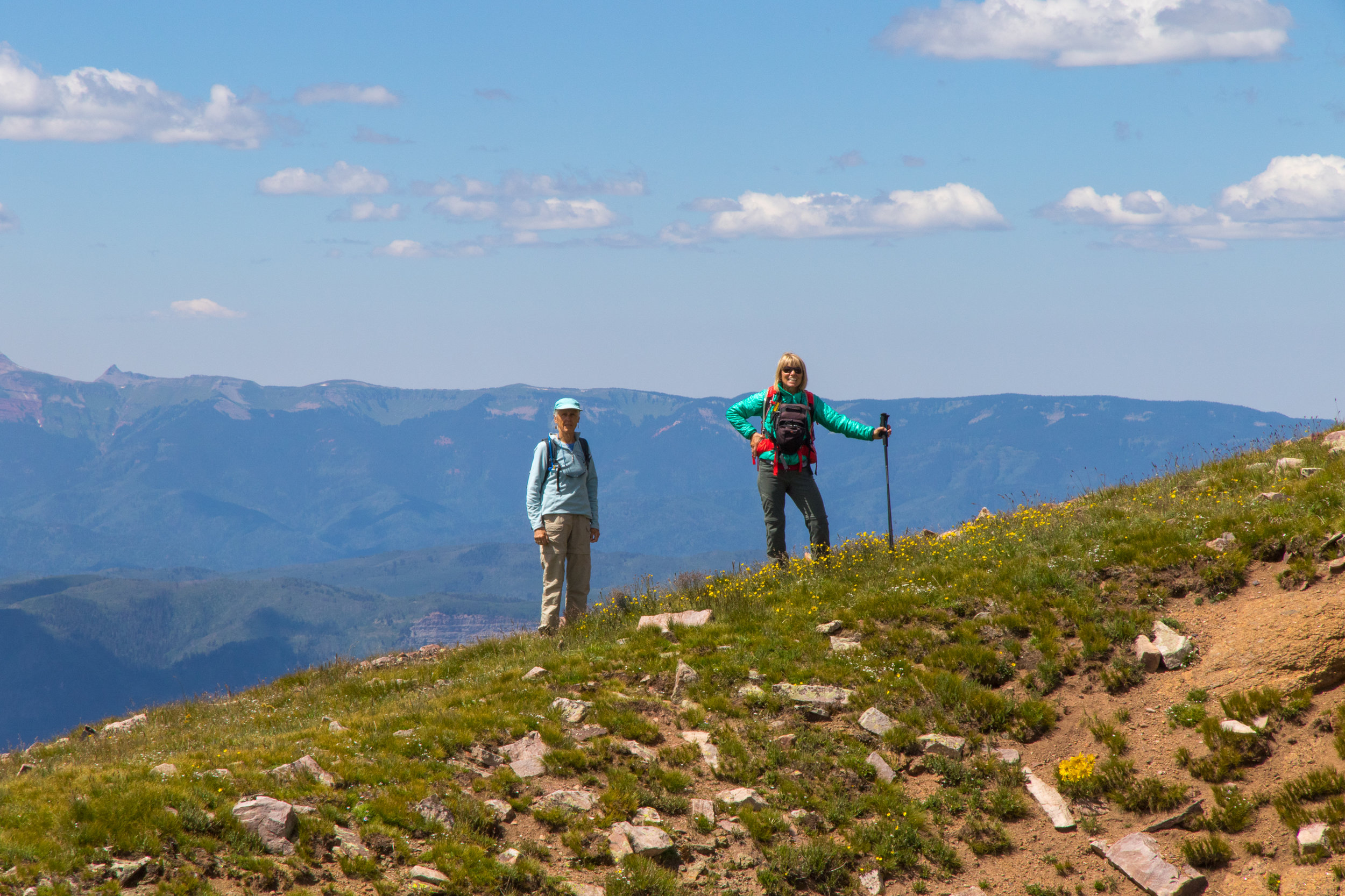
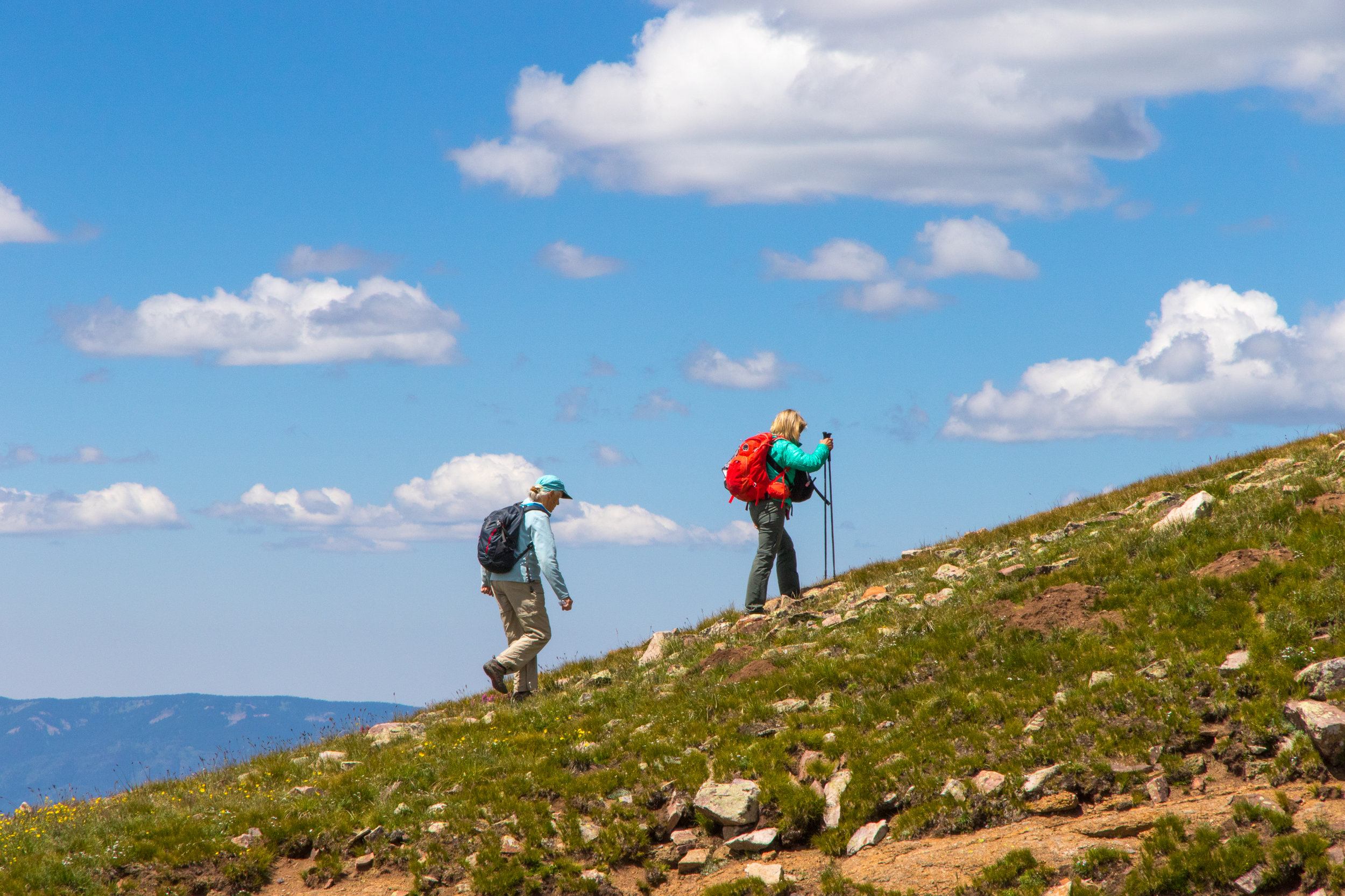
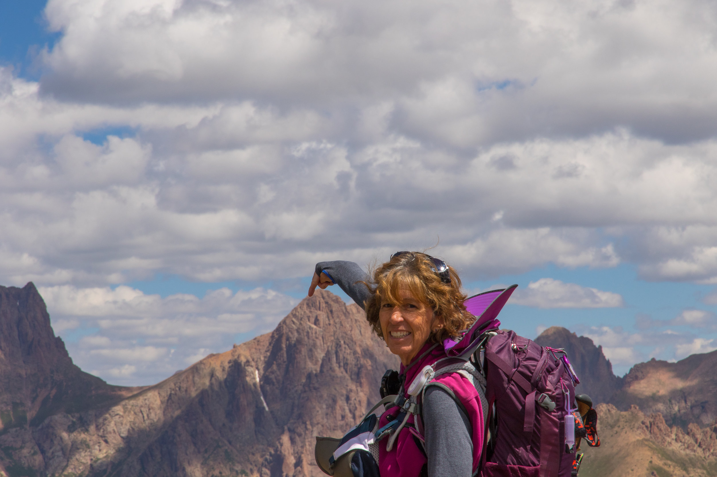
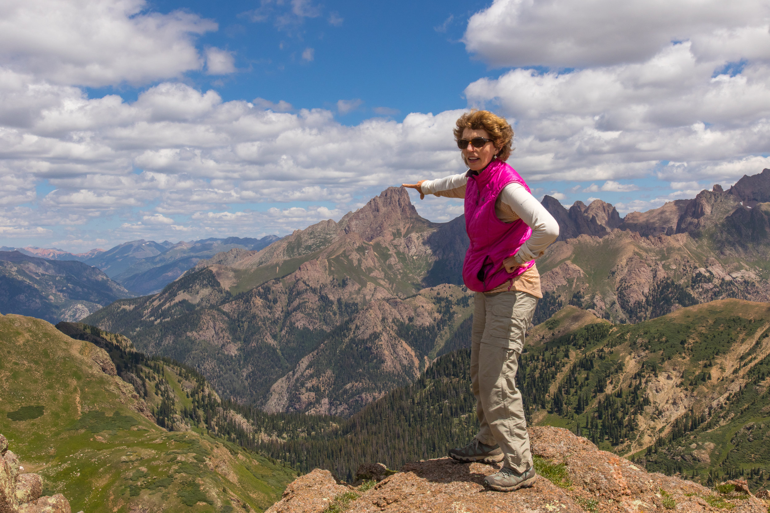
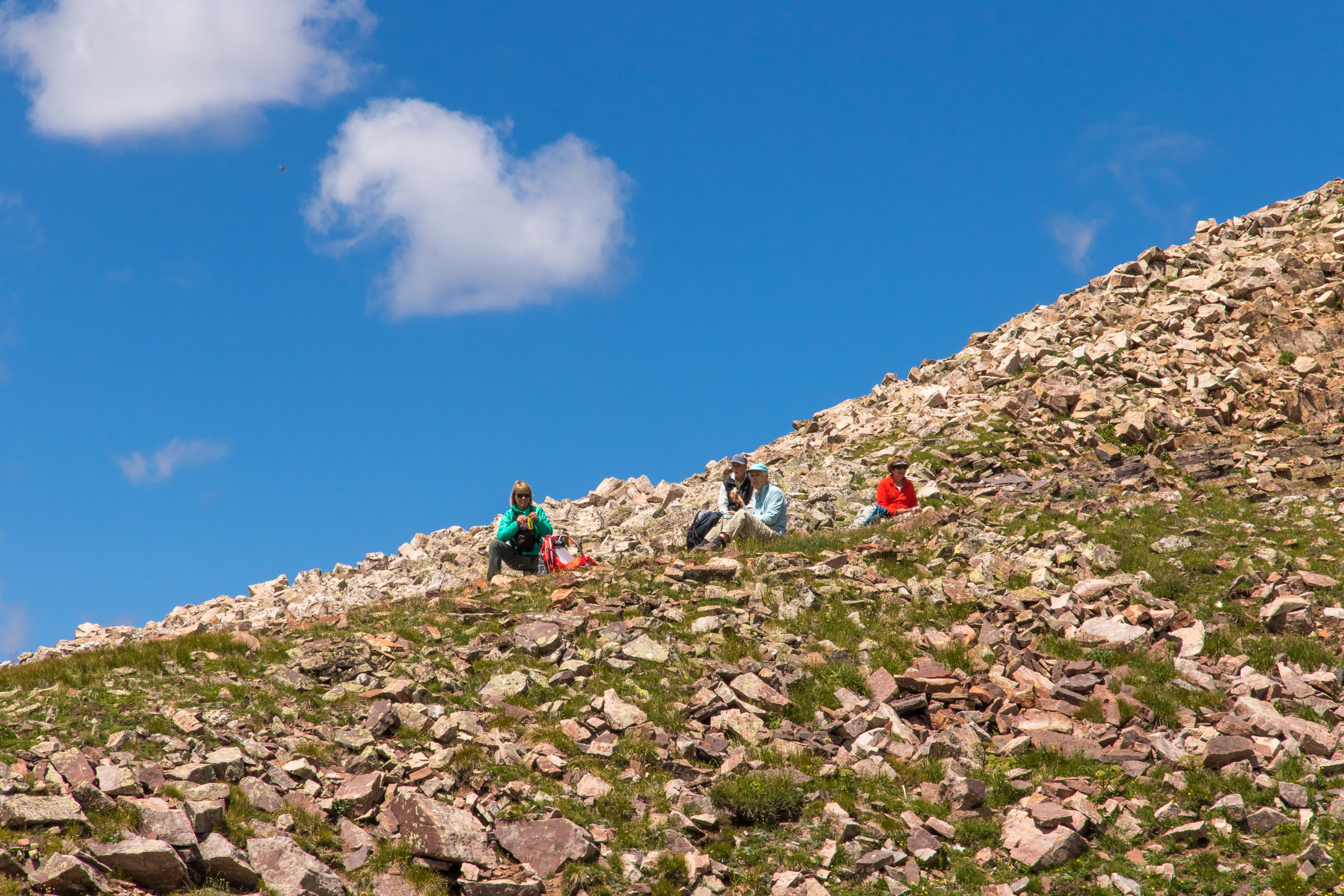
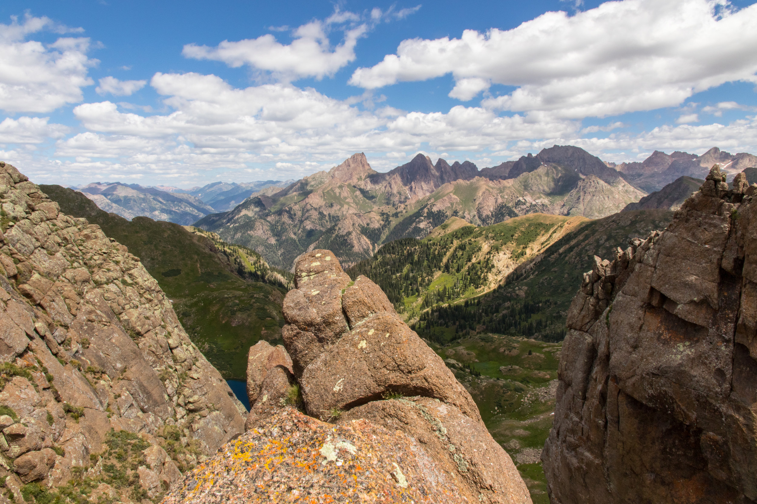
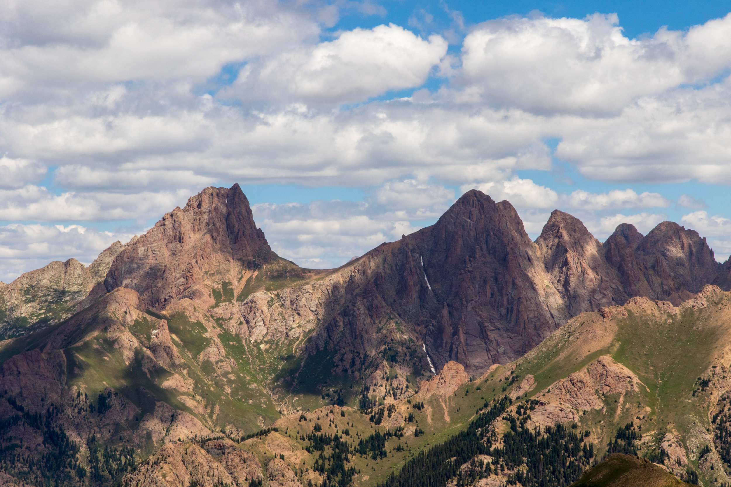
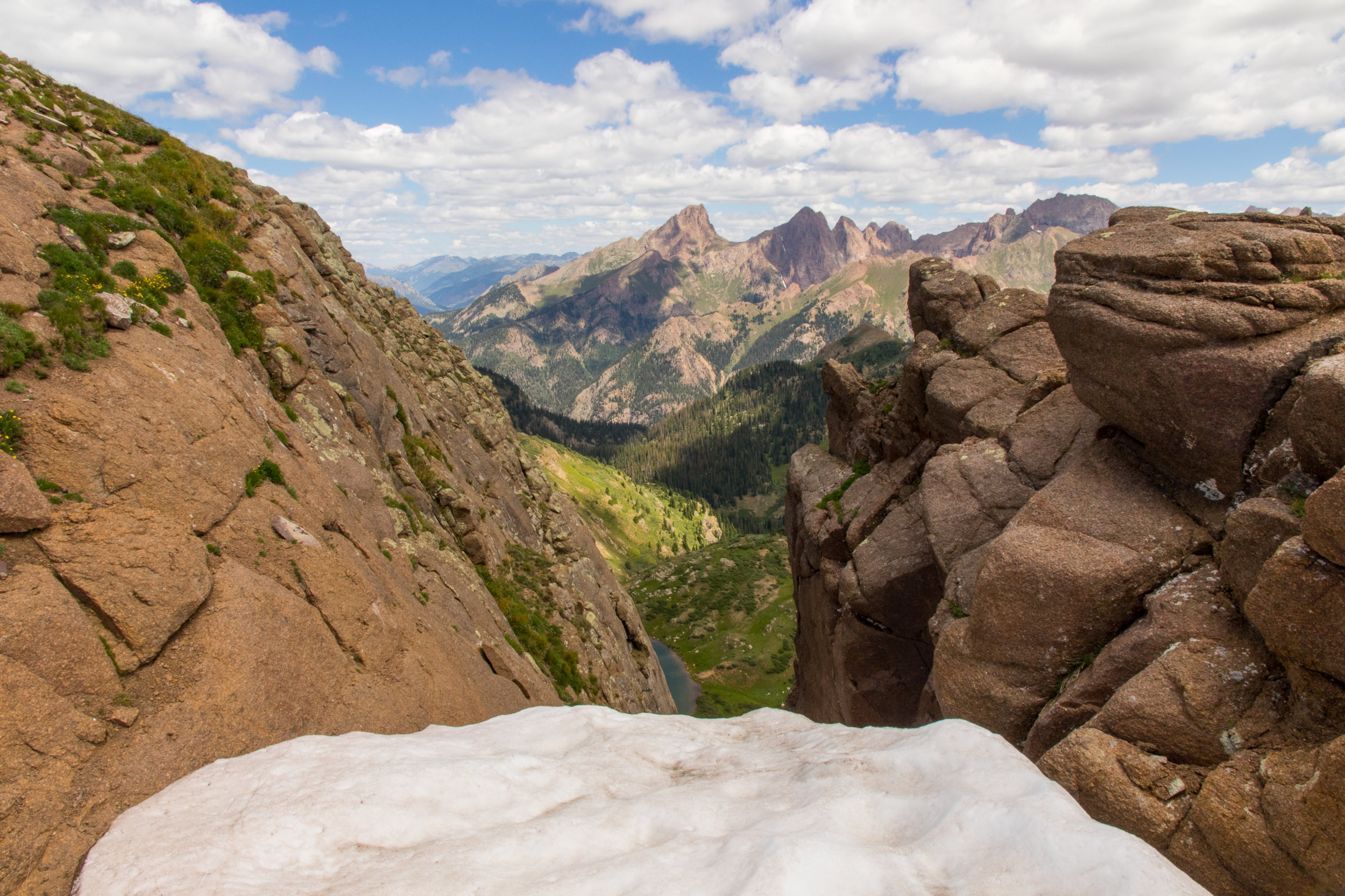
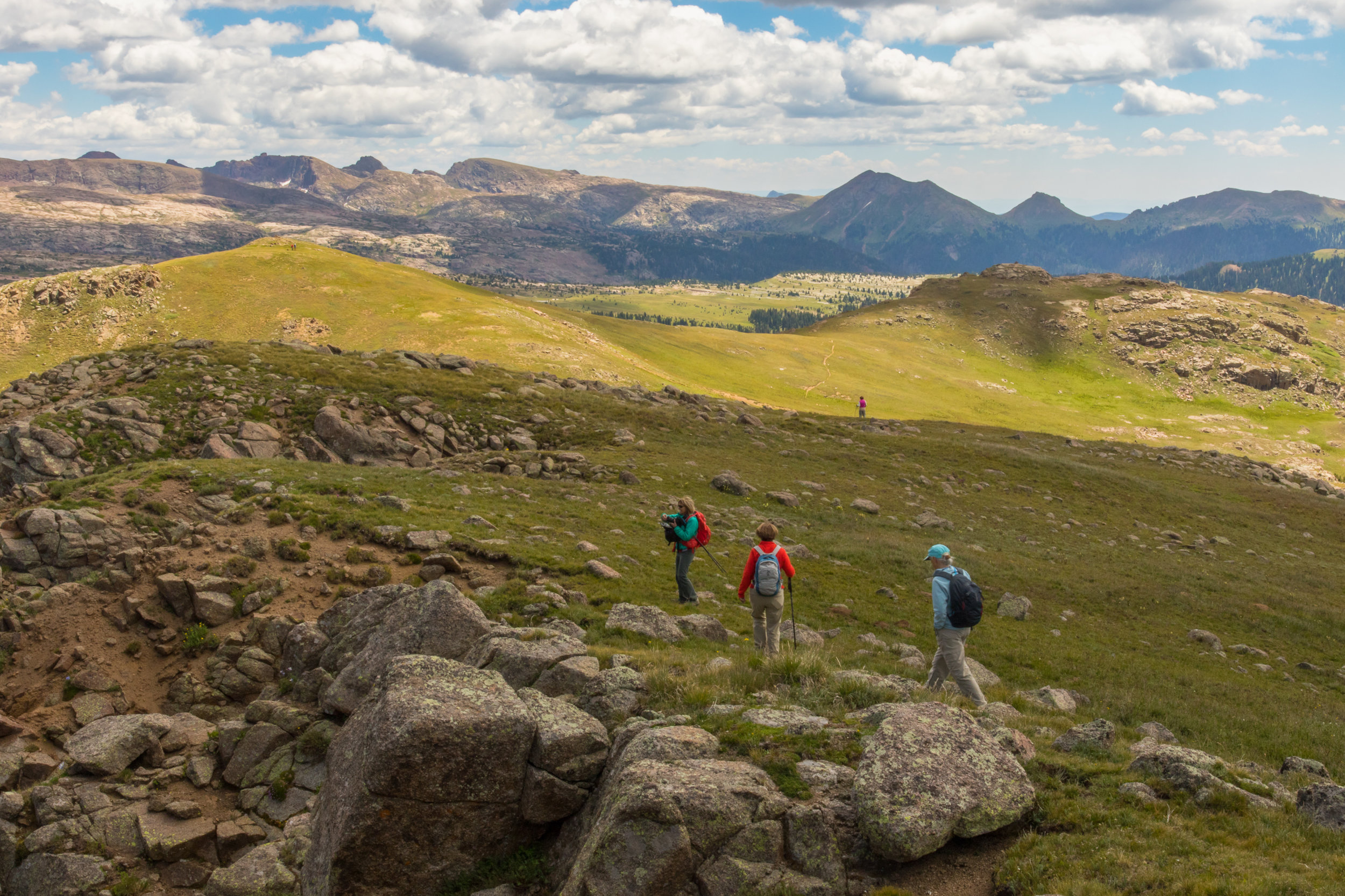
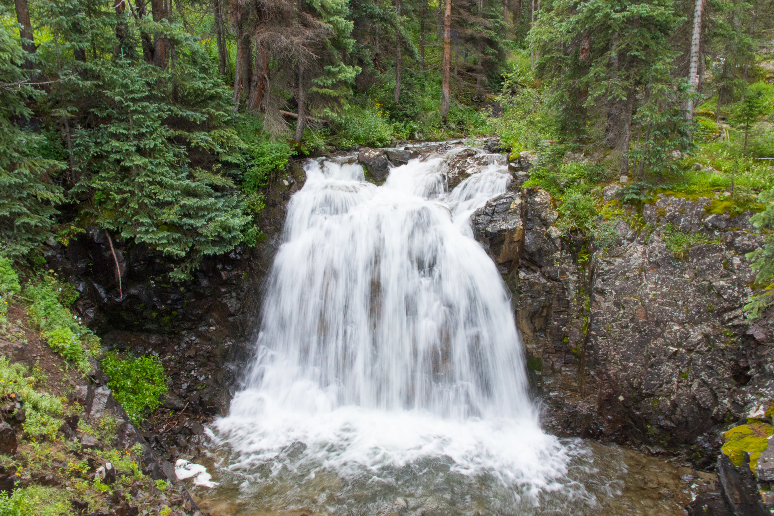
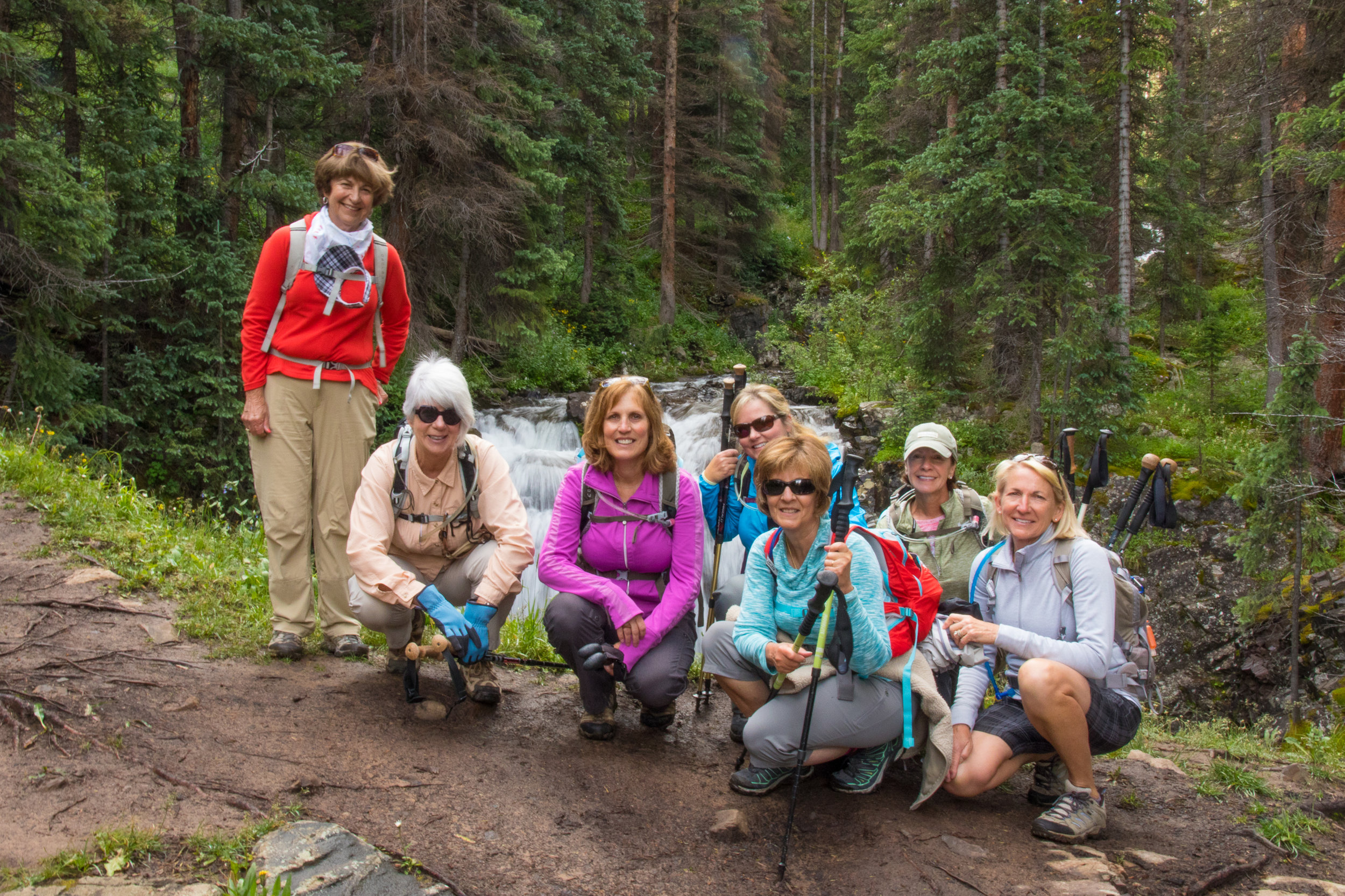
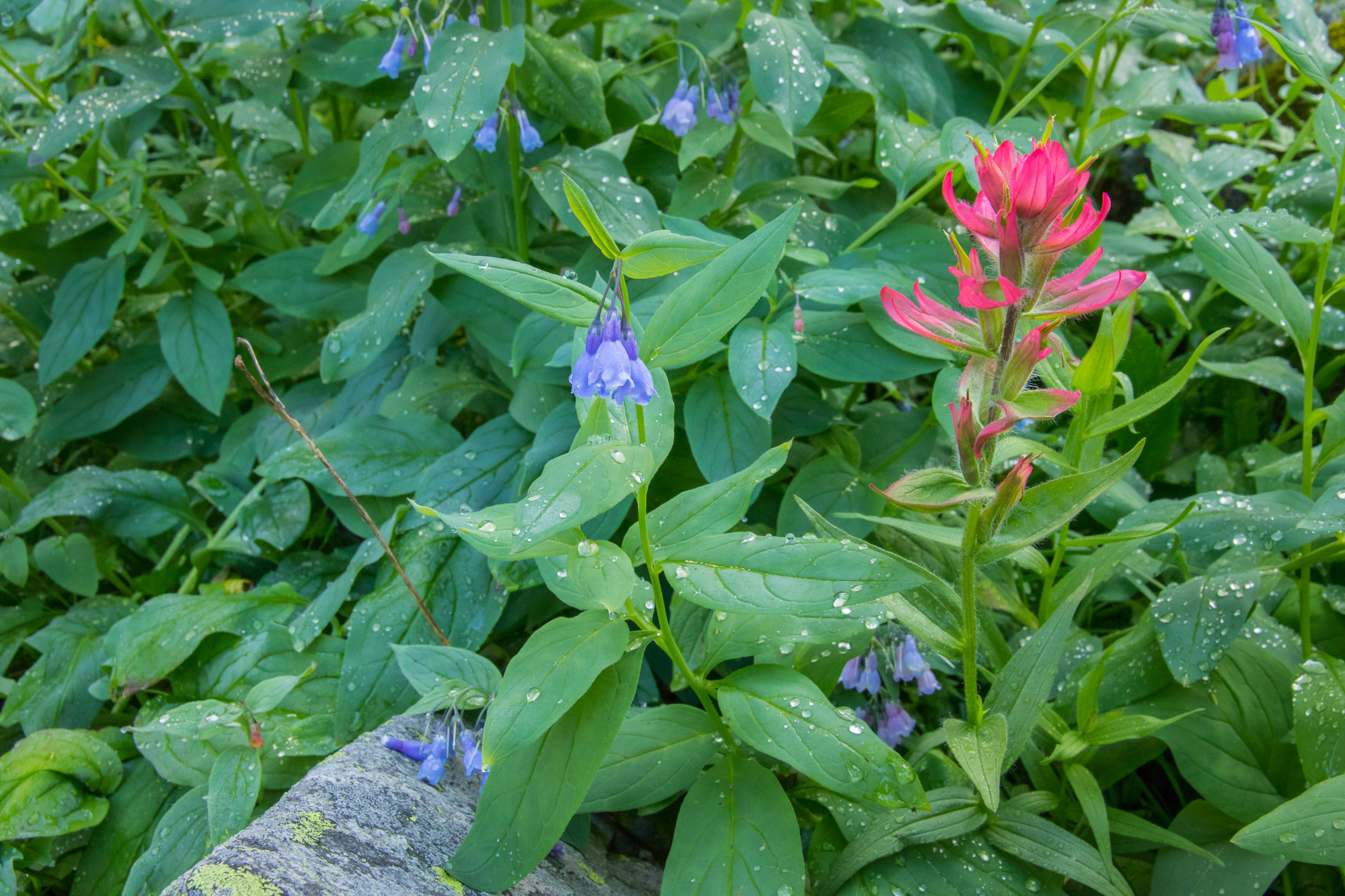
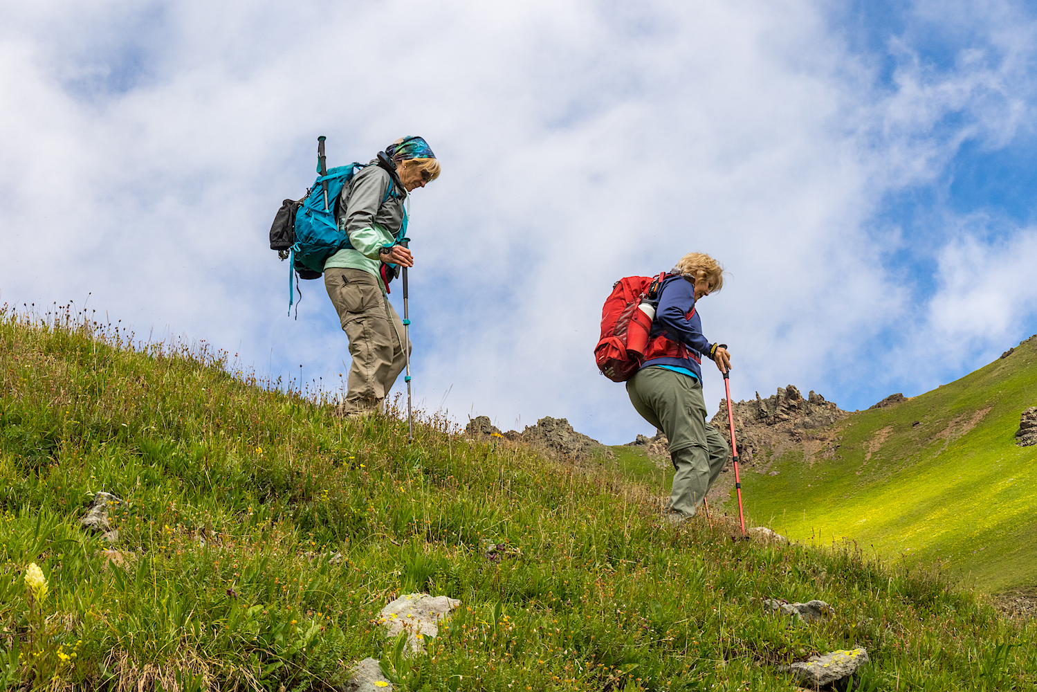
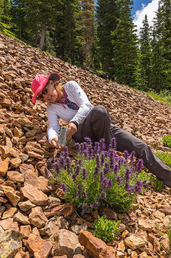
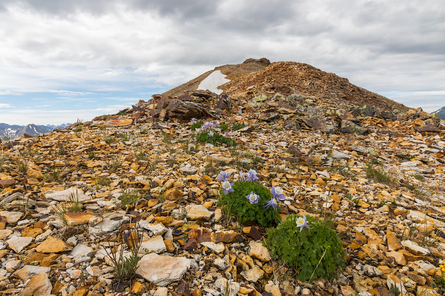
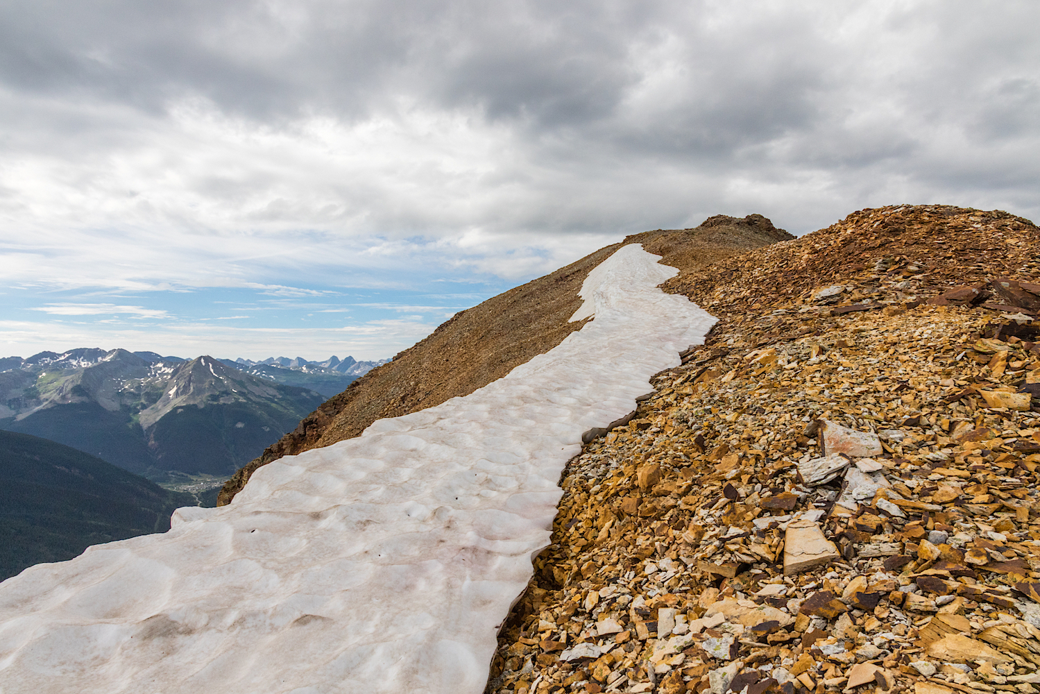
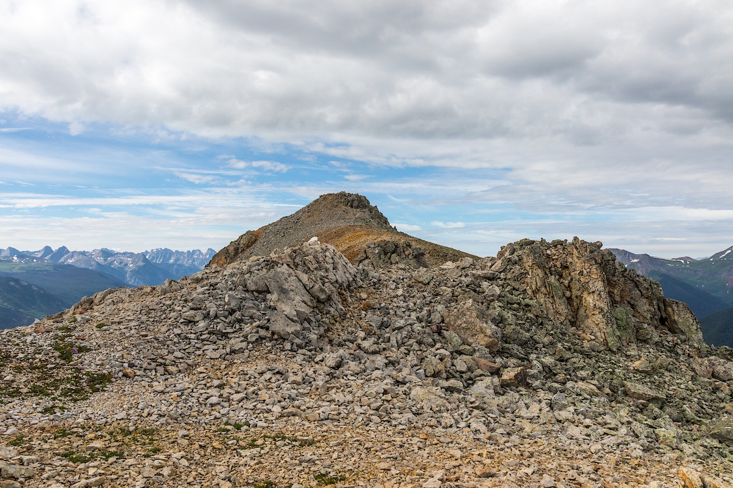
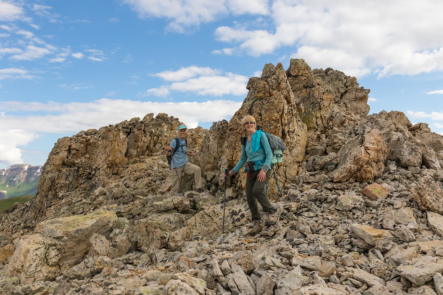
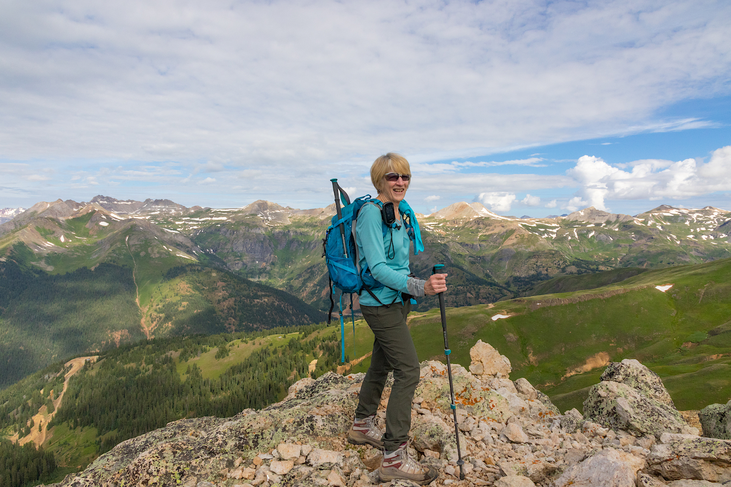
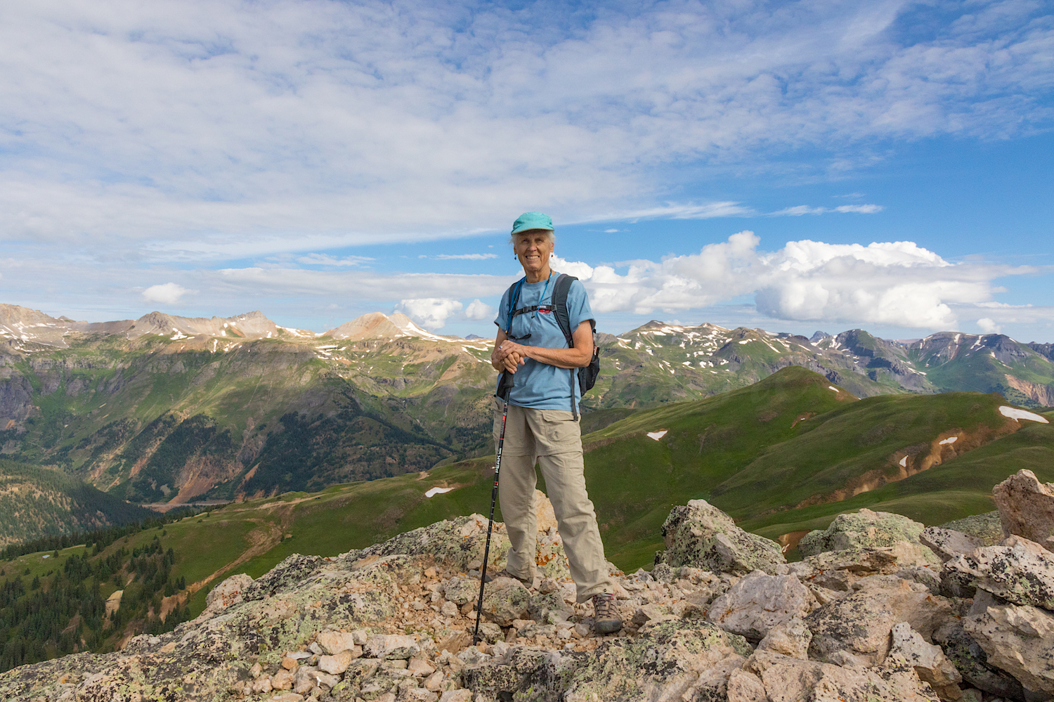
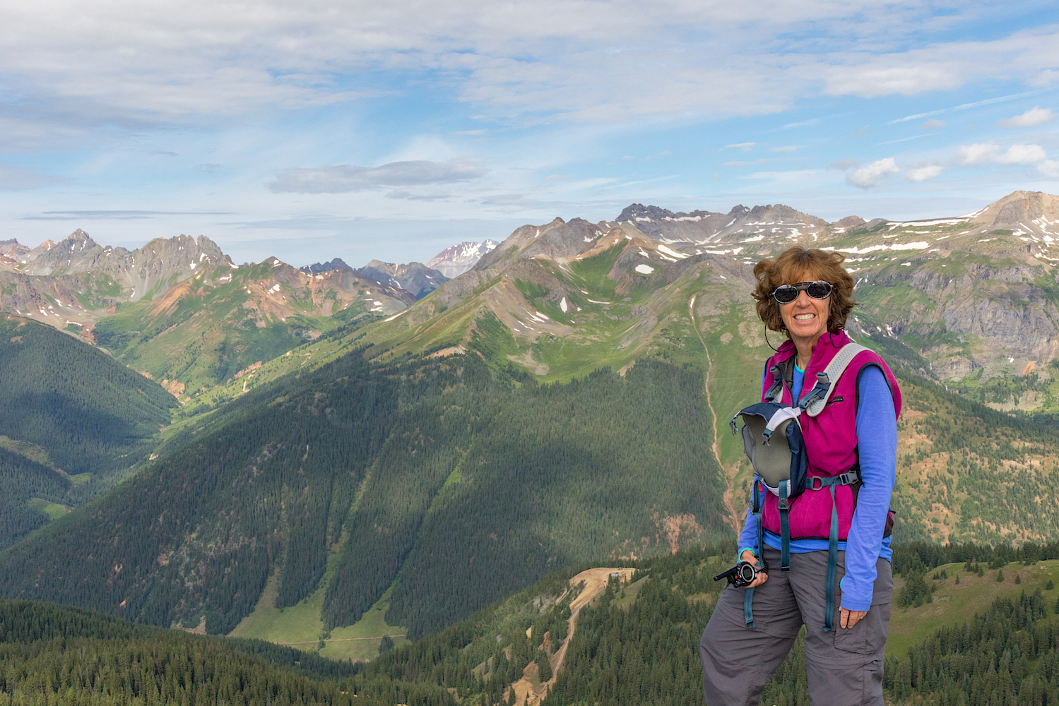
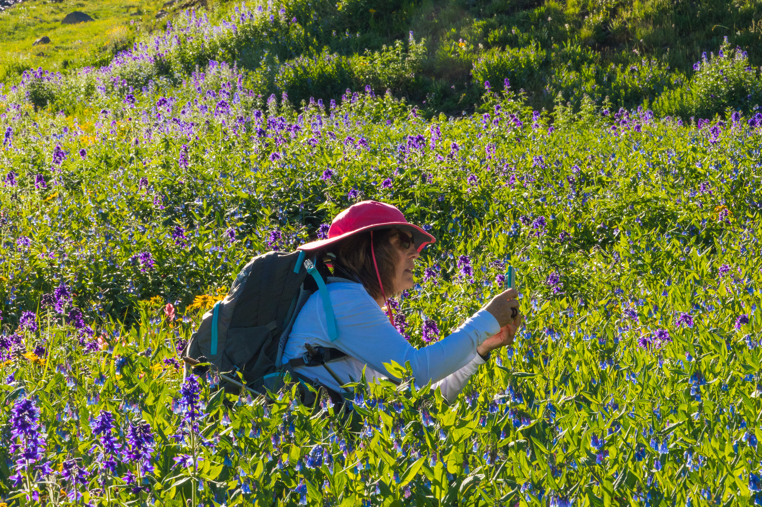
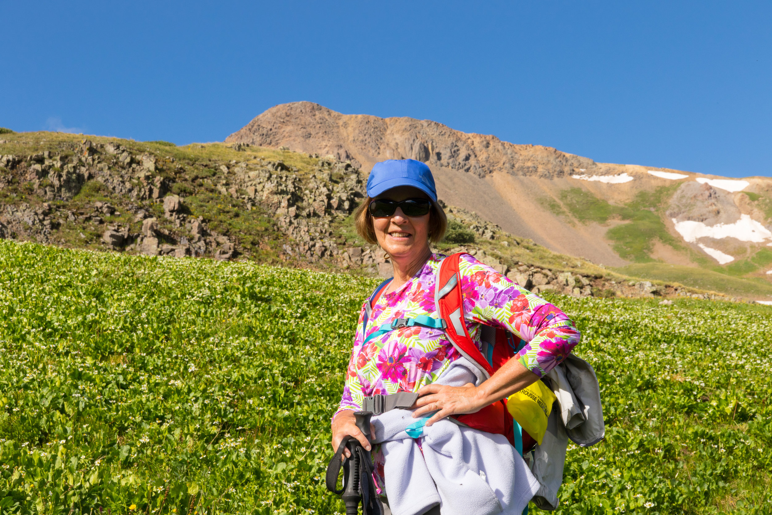
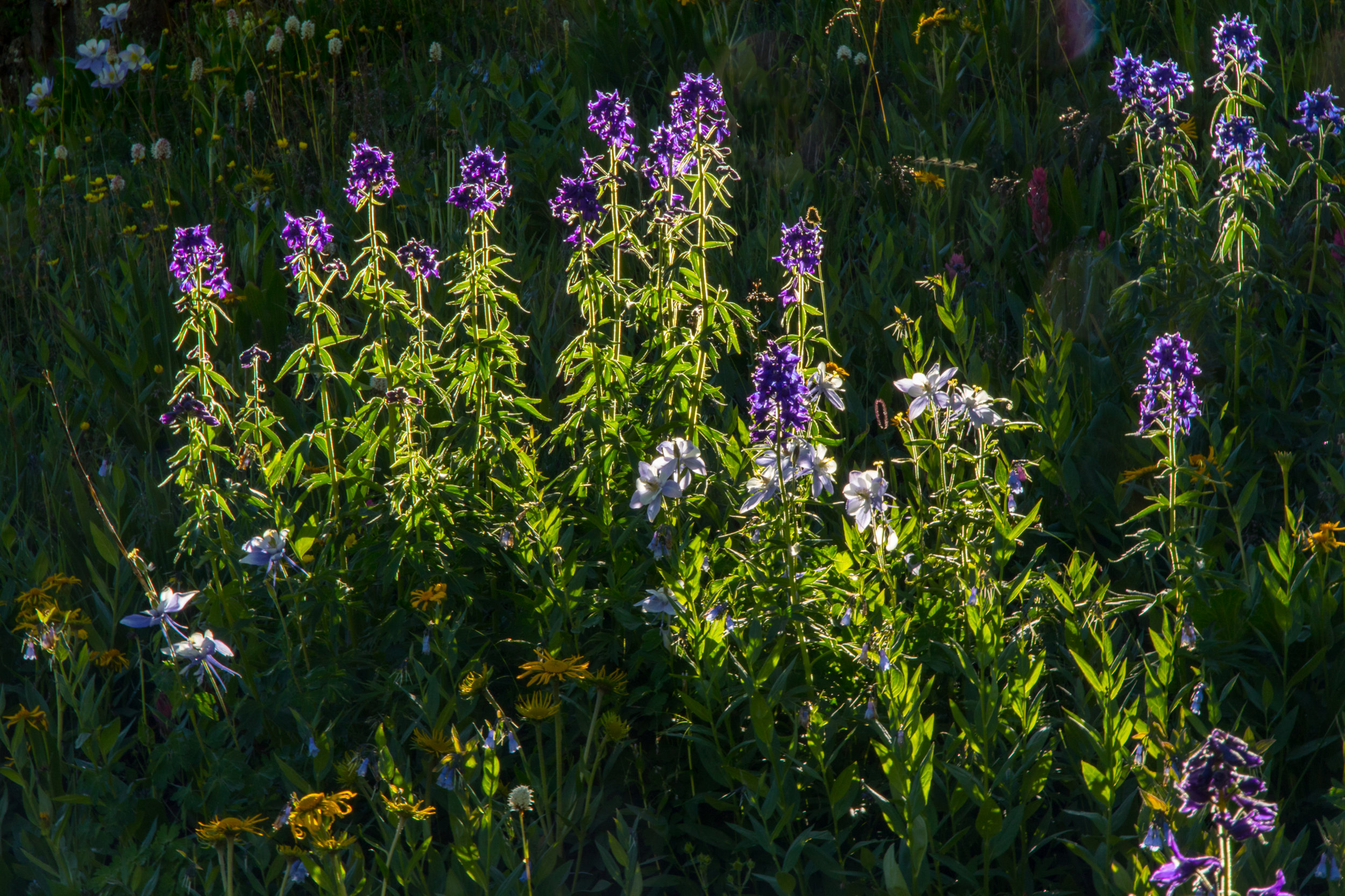
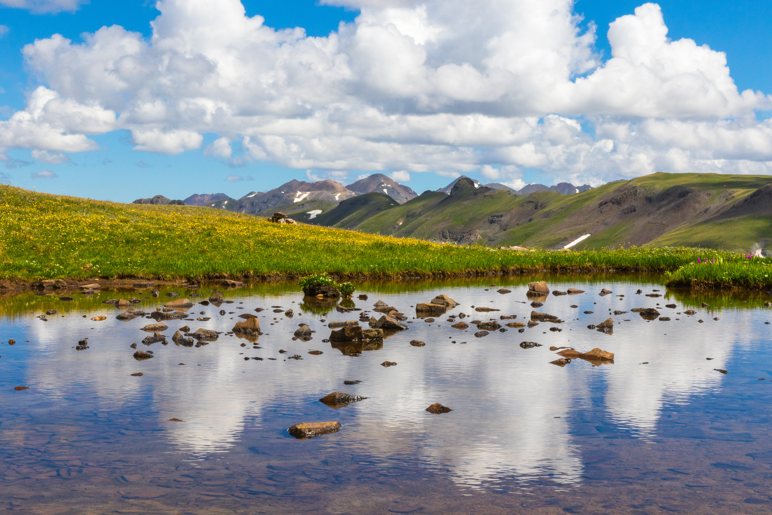
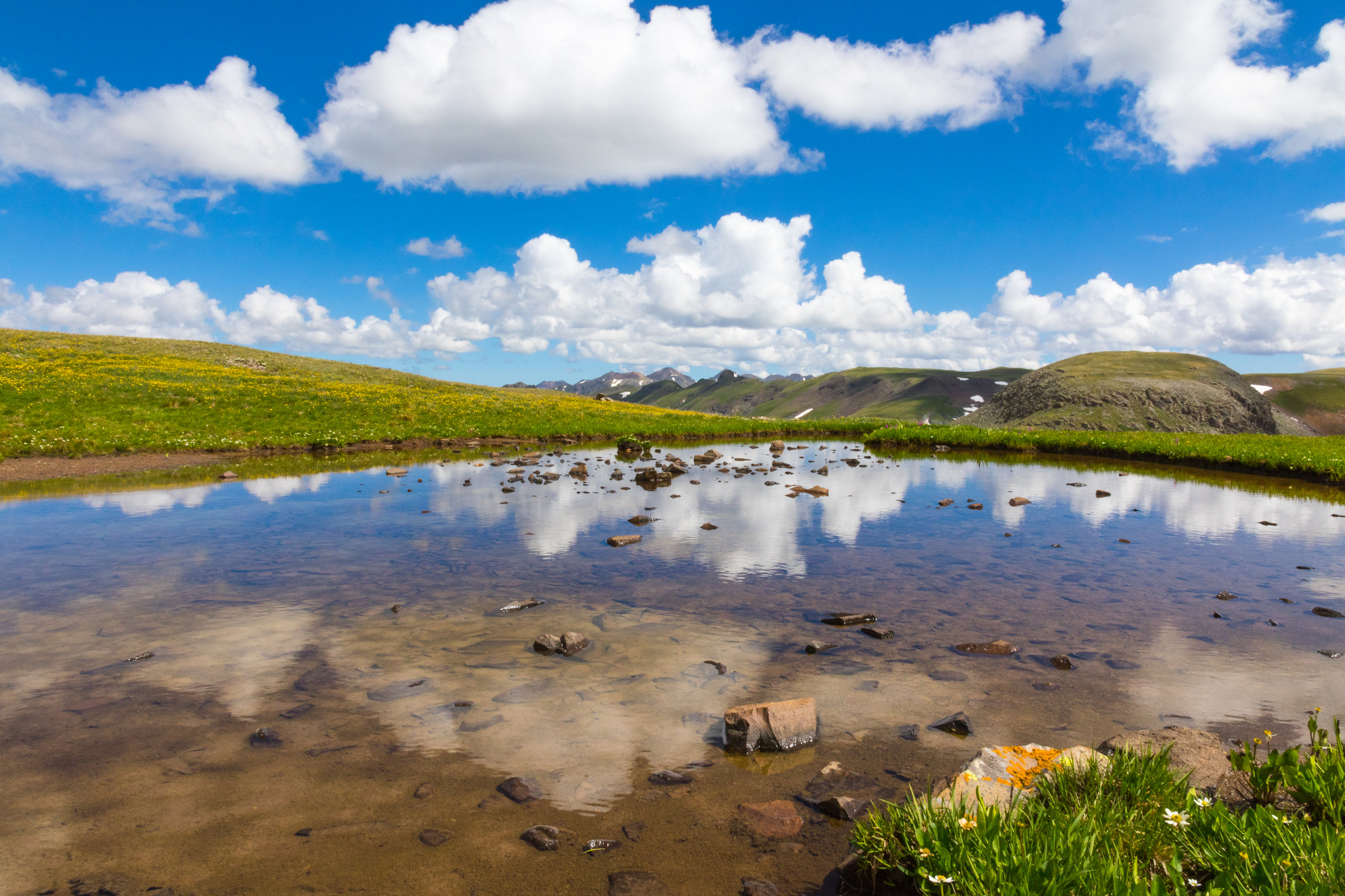
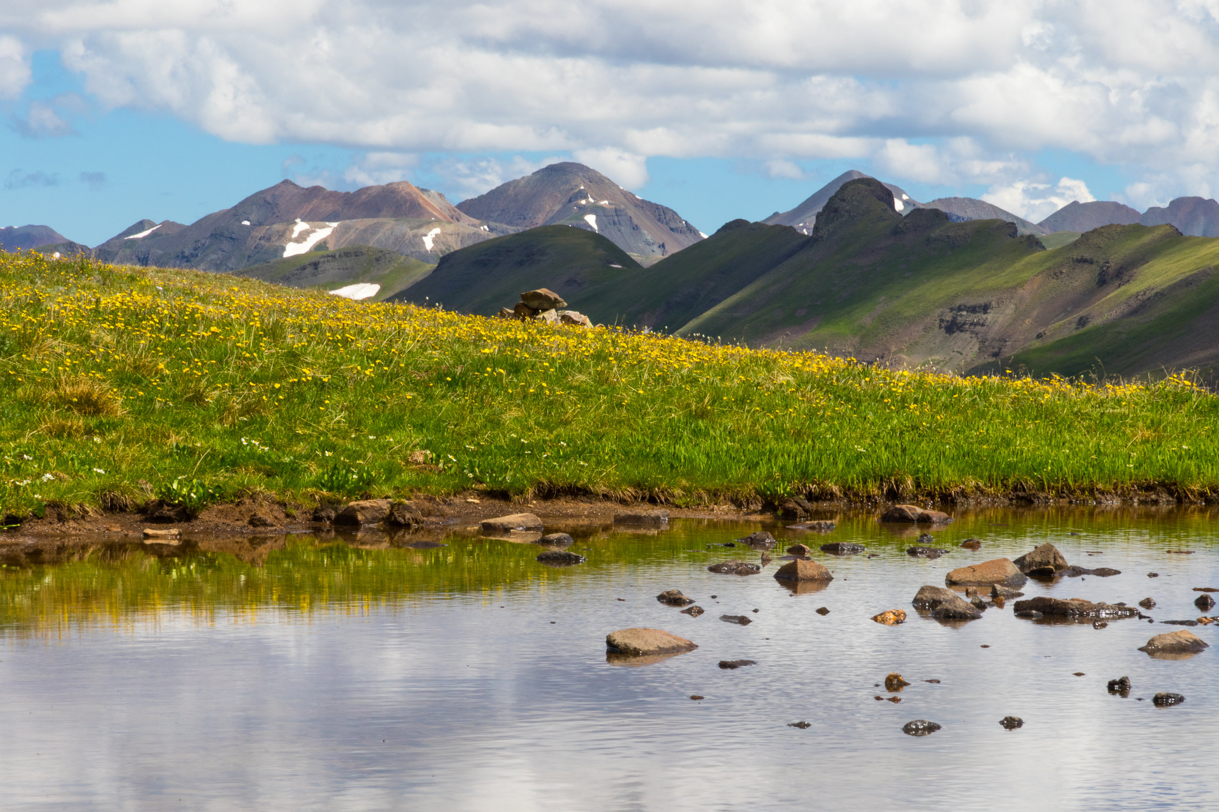
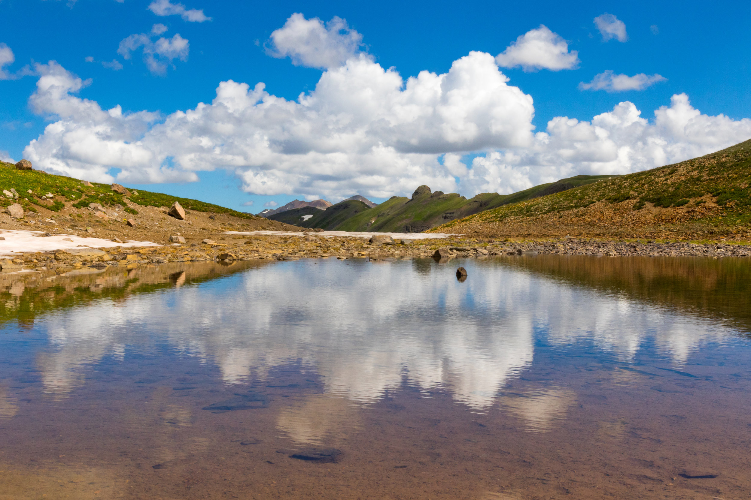
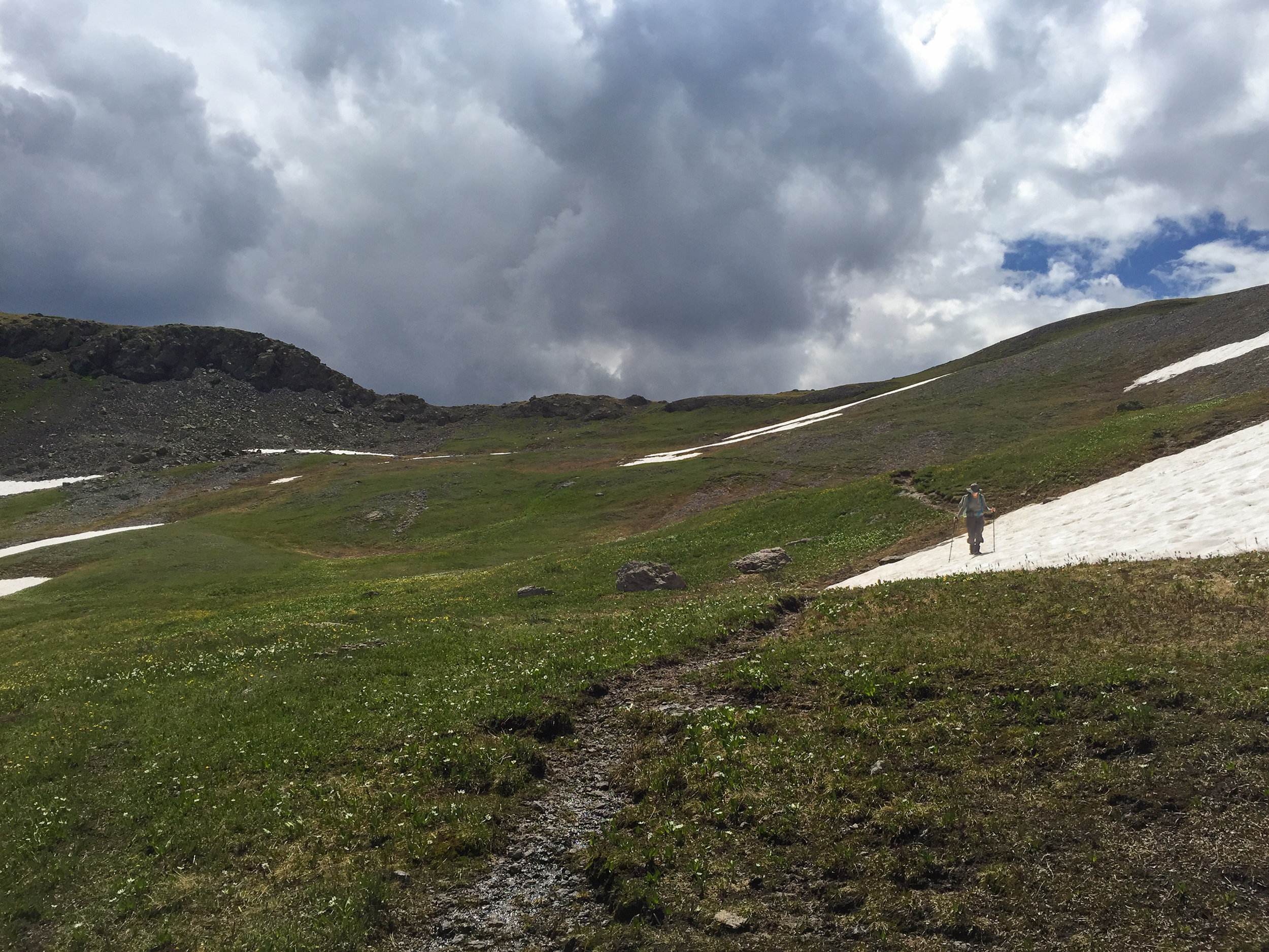
Given the forecast of rain, wind and cold weather, the Moxie’s were prepared for an adventure out on the trail except for Barbara who forgot her “famous” blue sweater at home. We all had gloves (except for Mary P that probably stole Spence’s), hats, rain coats, jackets, gaiters, buffs, hiking sticks and Long pants (except for Mary P who wore shorts) Laurie even thought about bringing a rock hammer but decided last minute to leave it at home. We started up the Pass Creek Trail in the fog around 9 am. It was chilly but very pleasant. We were the only hikers on the trail the entire day and only saw a few bikers and hunters on the way down the Engineer Mountain Trail. When we arrived at the trail junction at 2.4 miles, Engineer Mountain was still hidden in the clouds. A short distance later I rec’d a notice on my phone stating that lightening had striken approx 5 miles from our location. We could hear the thunder rumbling but had no idea where it was coming from. A few minutes later the sun came out and we were able to stop for a snack and watch the clouds roll by us. We held a moment of silence in memory of the September 11th Terrorist Attacks and each of us told our memory of that dreadful morning. Then the ever starving Moxies dug through their packs for snacks. I swear this group can’t wait to eat. Look at the photo below of Lois who’s head is down in her pack scavenging for some kind of food. We continued on down the trail and I think Kyla thought she was a drum major using her sticks as a baton. Really, check out the photo below. Then she actually started whistling and singing. After enduring 8.8 miles and each other 🤪, we reached our cars at the bottom of the Engineer Mountain Trail. It was a fun hike and unique day out on the trail with the fog and clouds. Thanks to everyone for joining me on this hike.

Statistics for the Pass Trail to Engineer Mountain Trail Through Hike
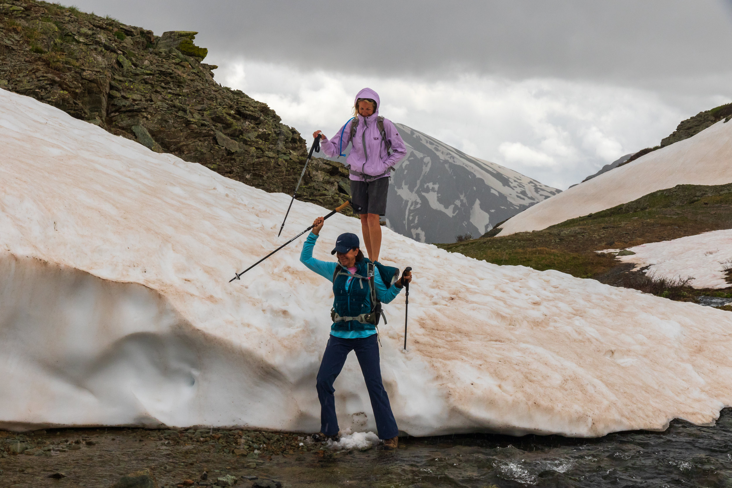
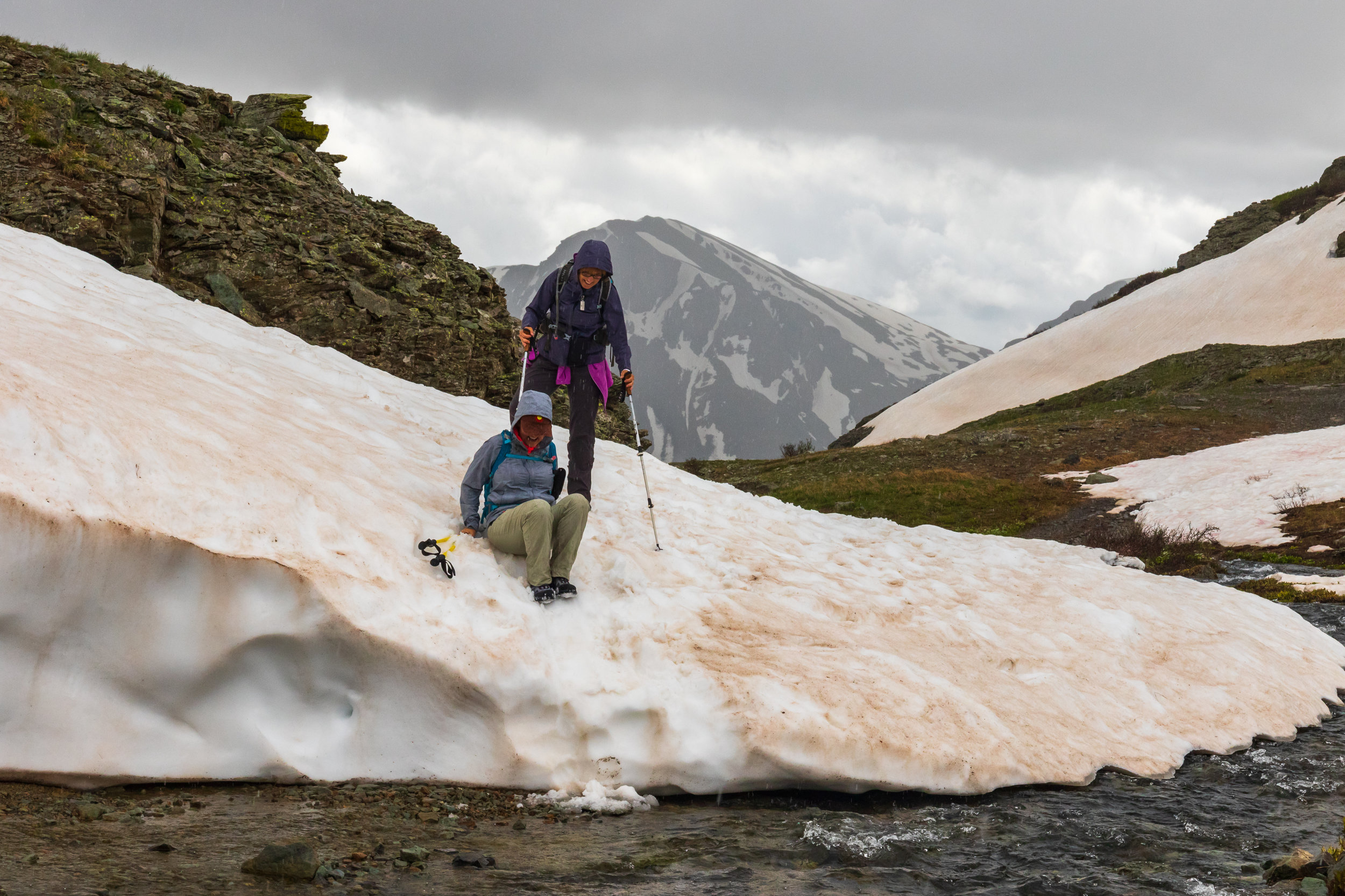
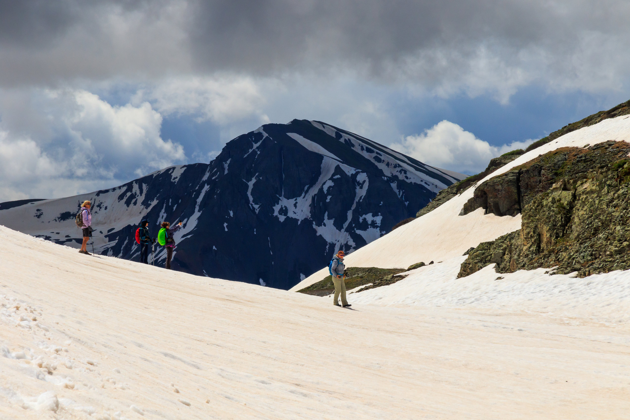
Photos from the day: (click on the photo to read the caption and view full size)


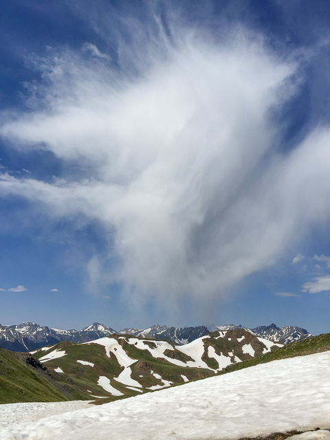
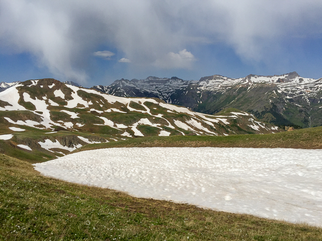
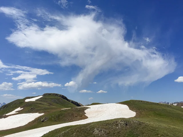
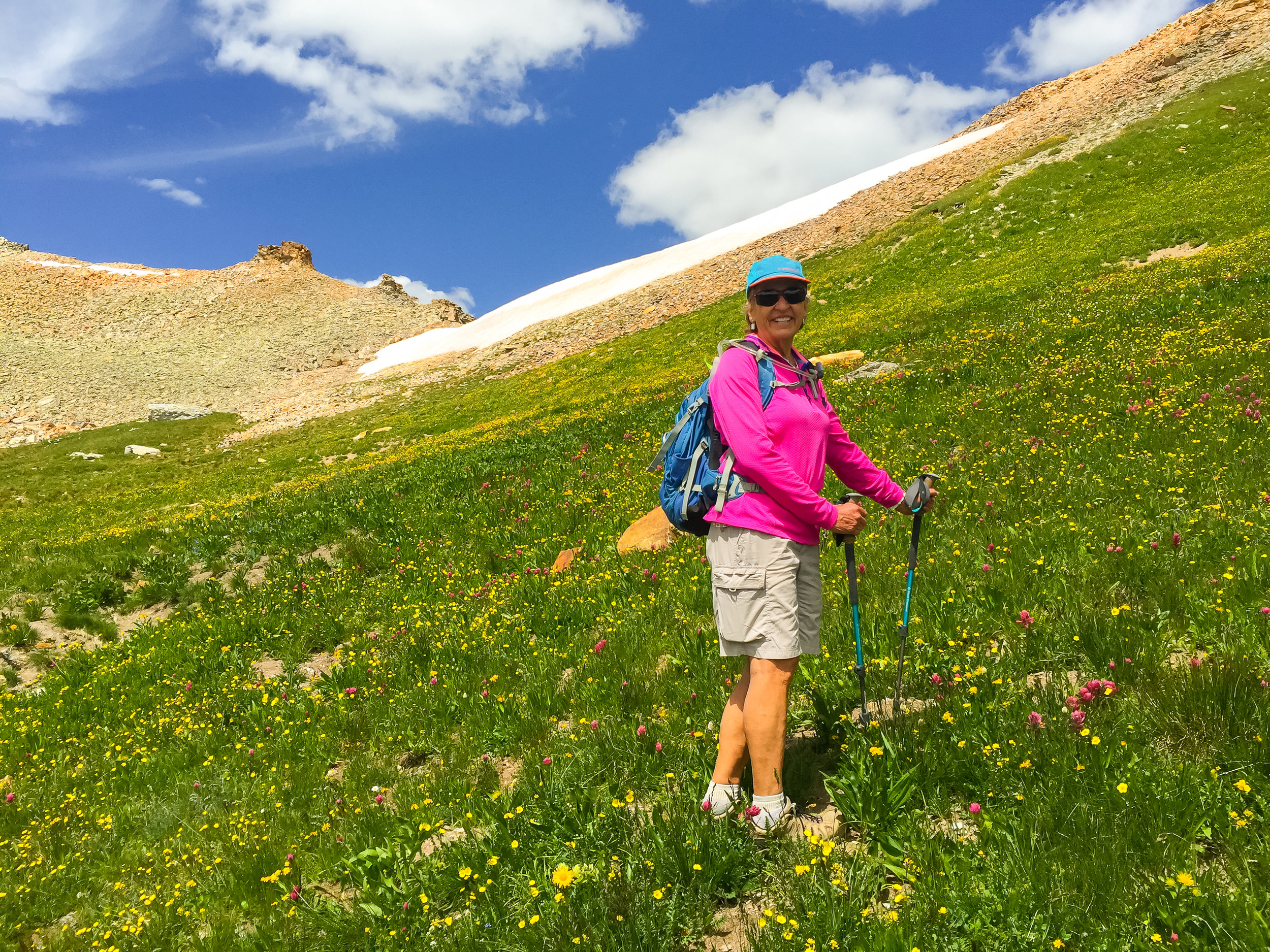
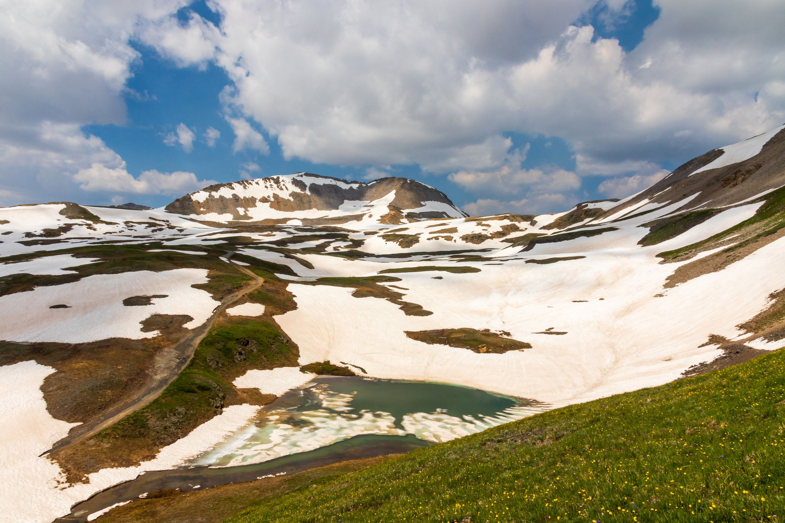
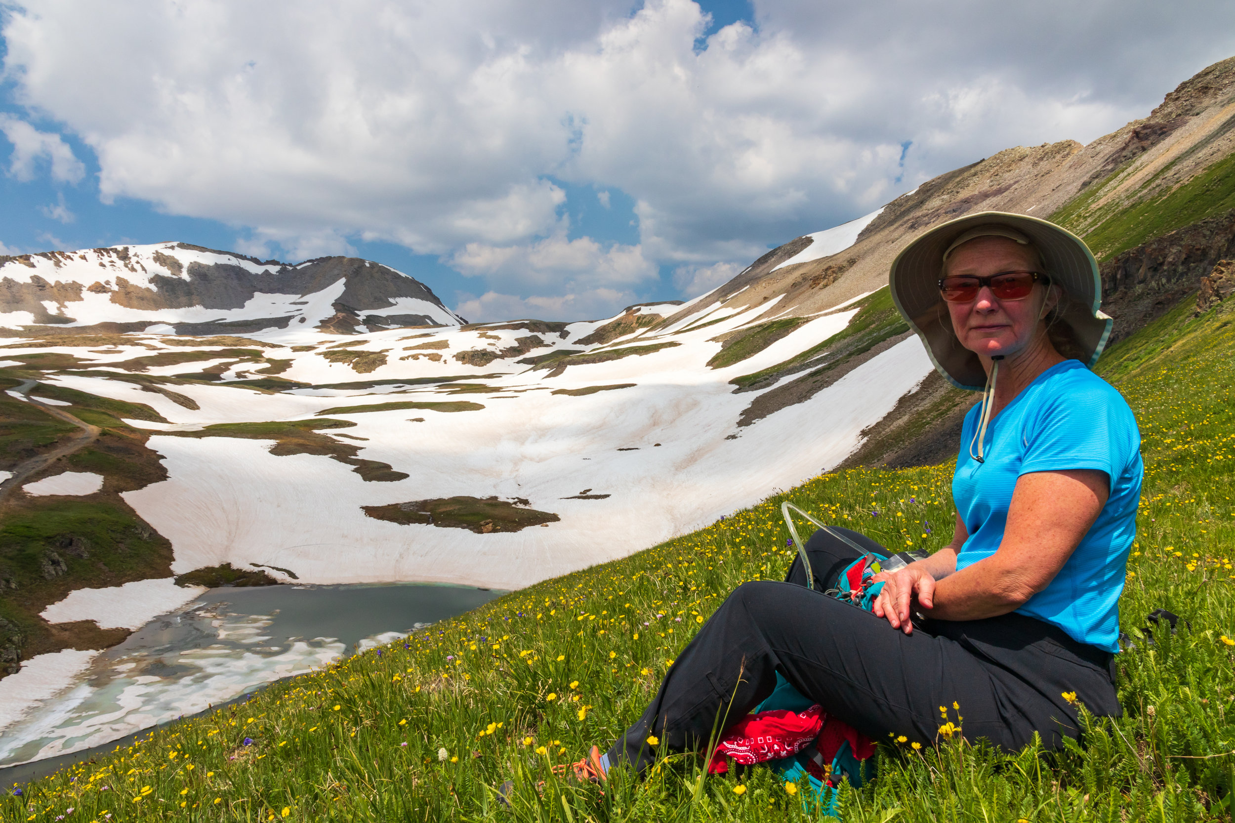
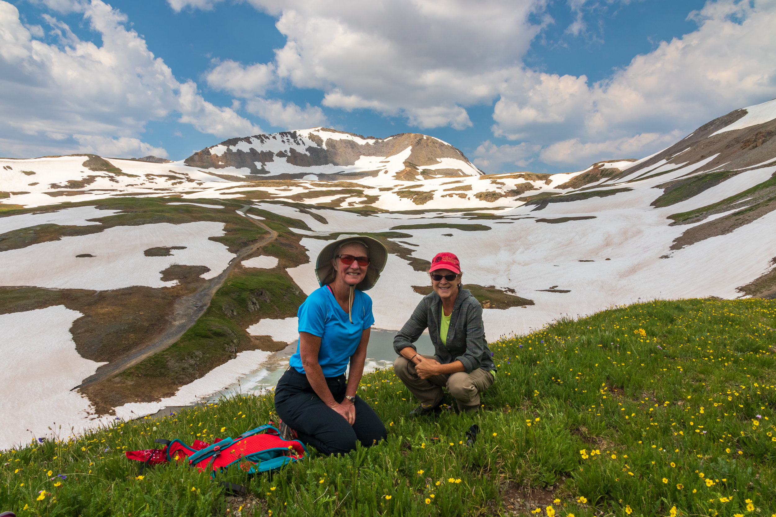
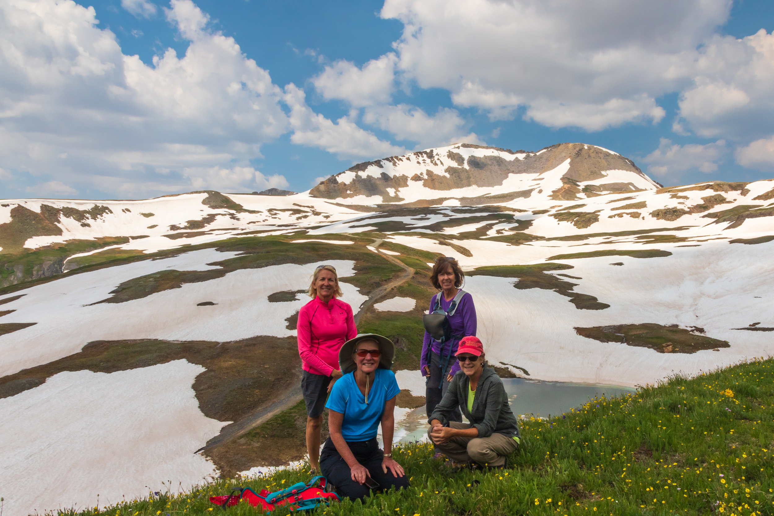
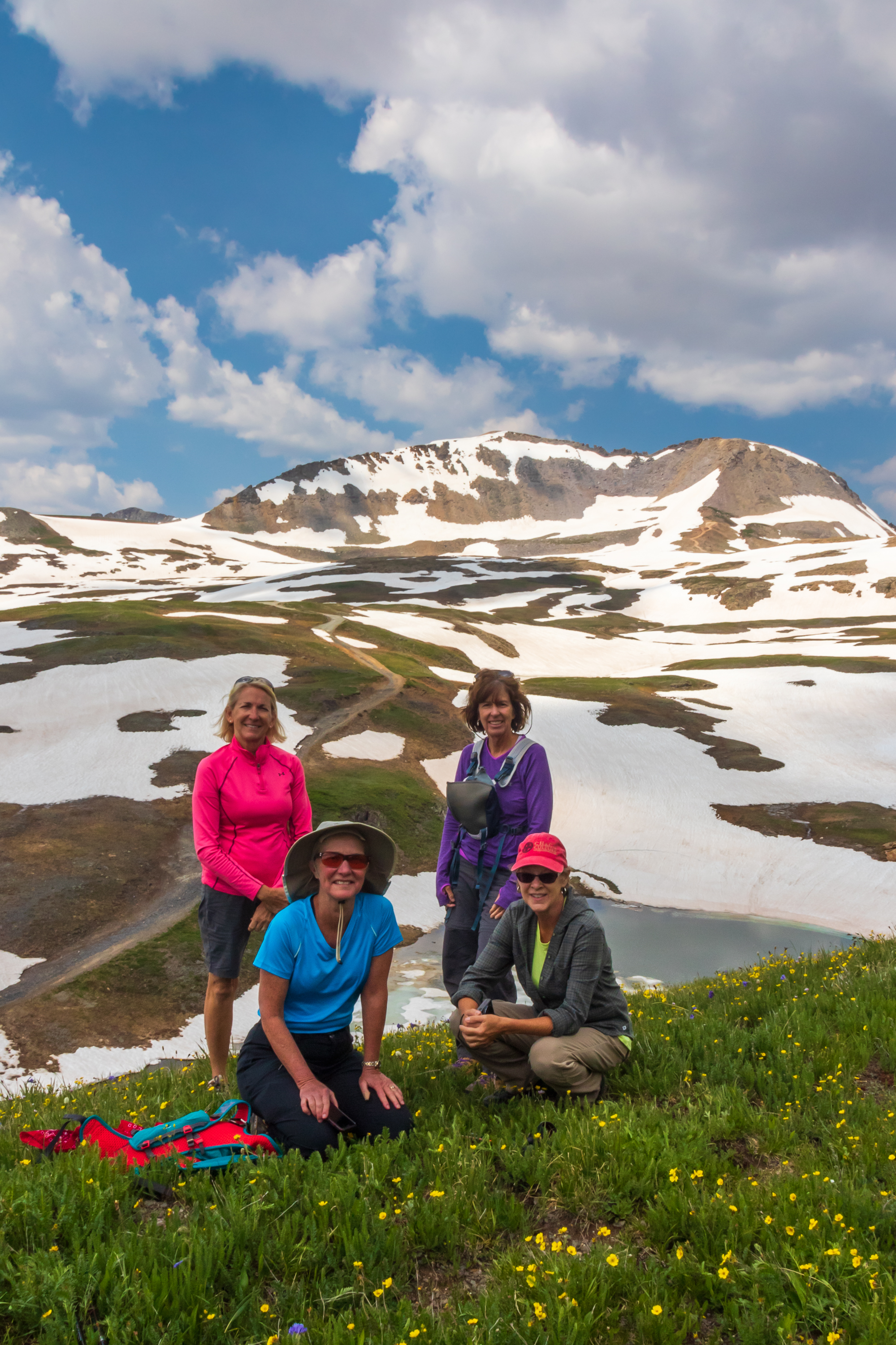
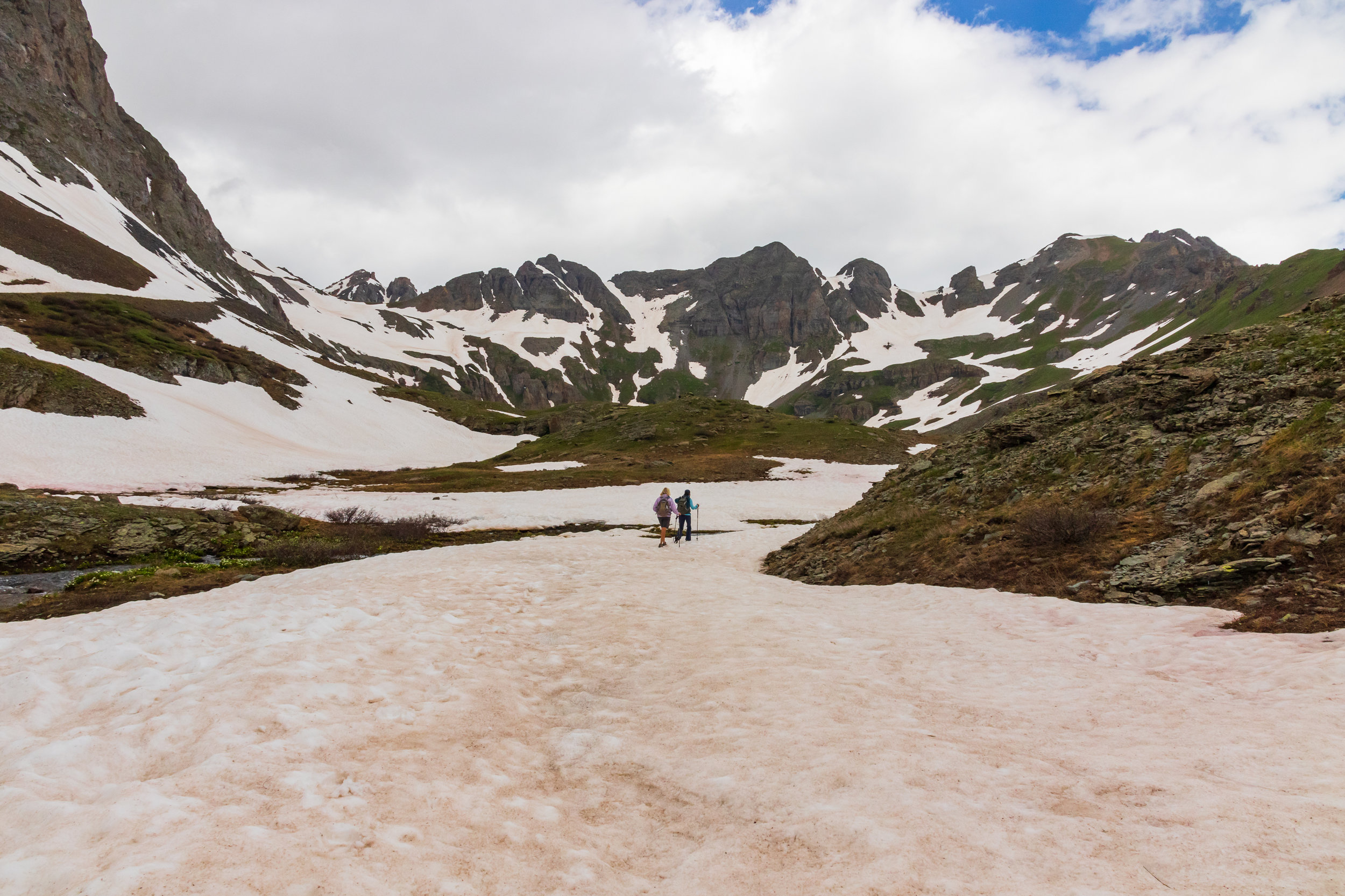
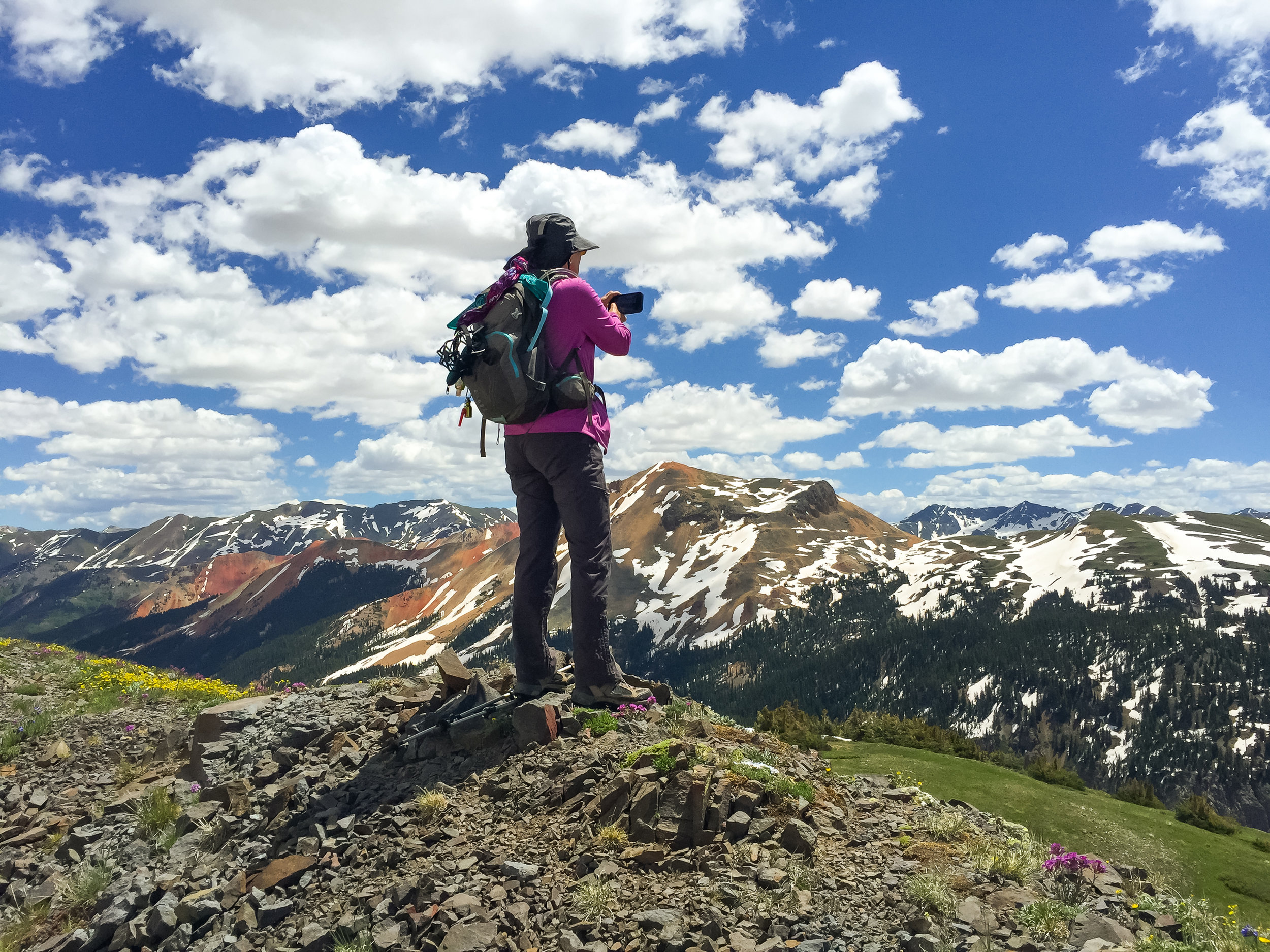
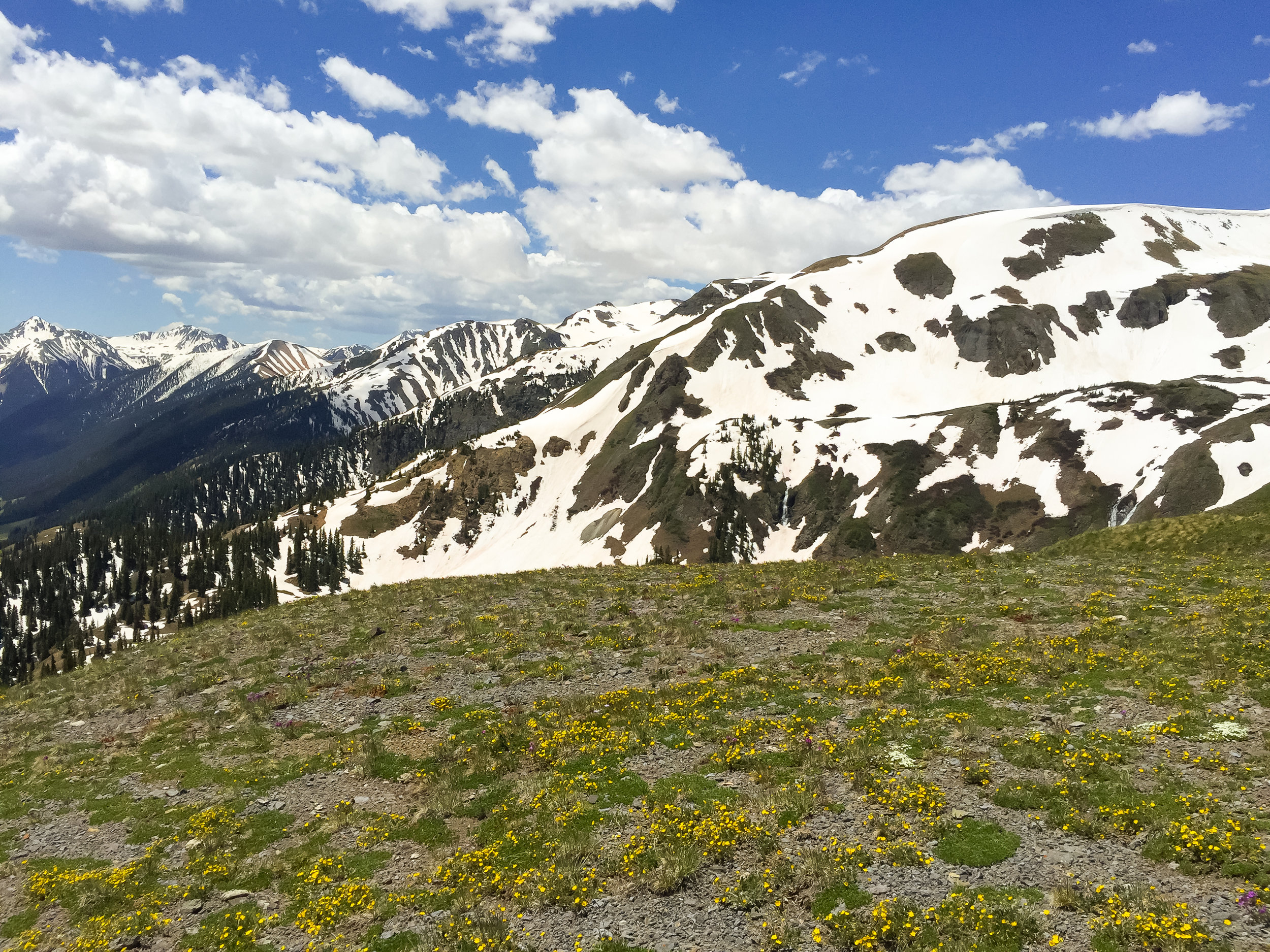
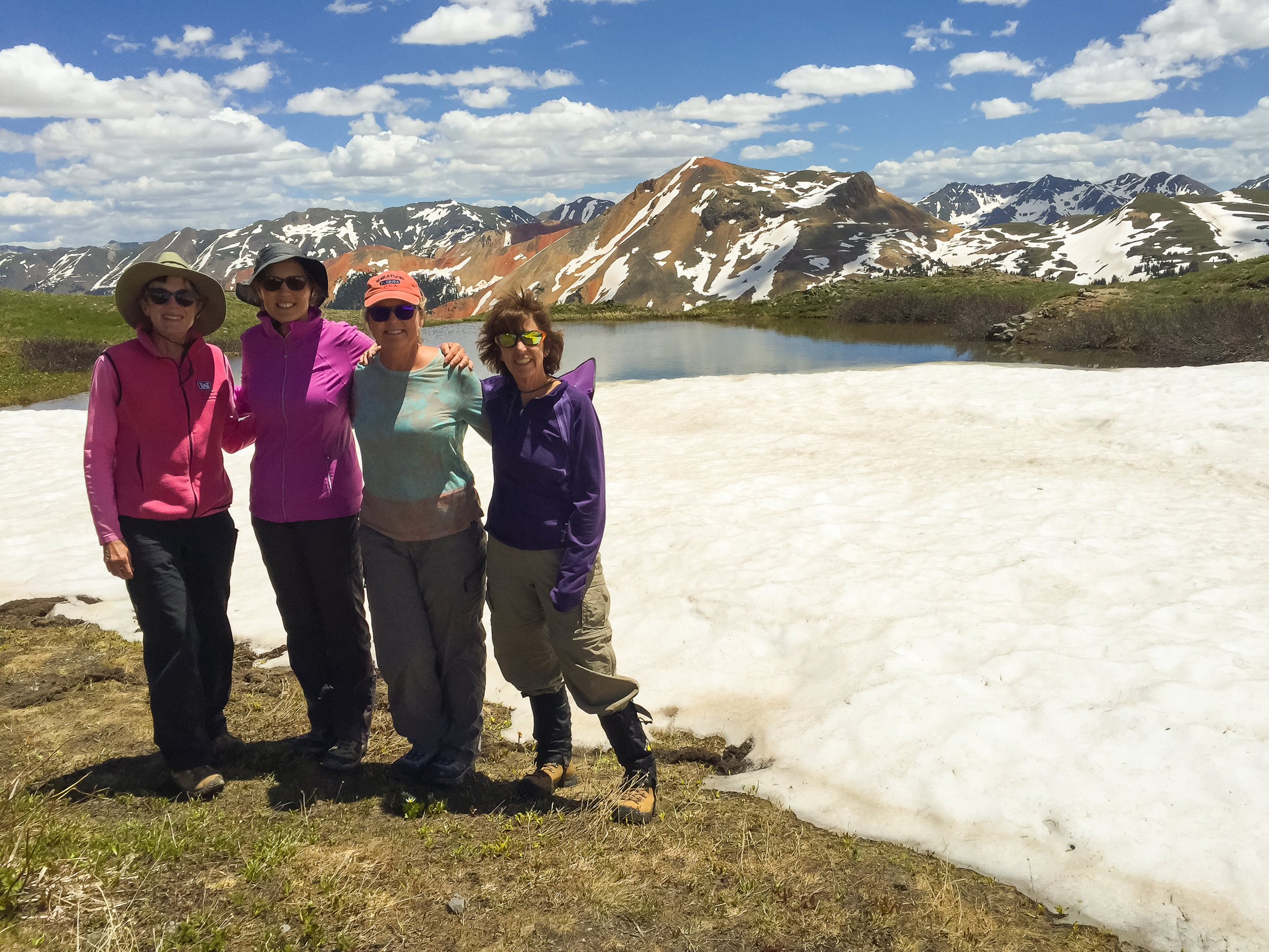
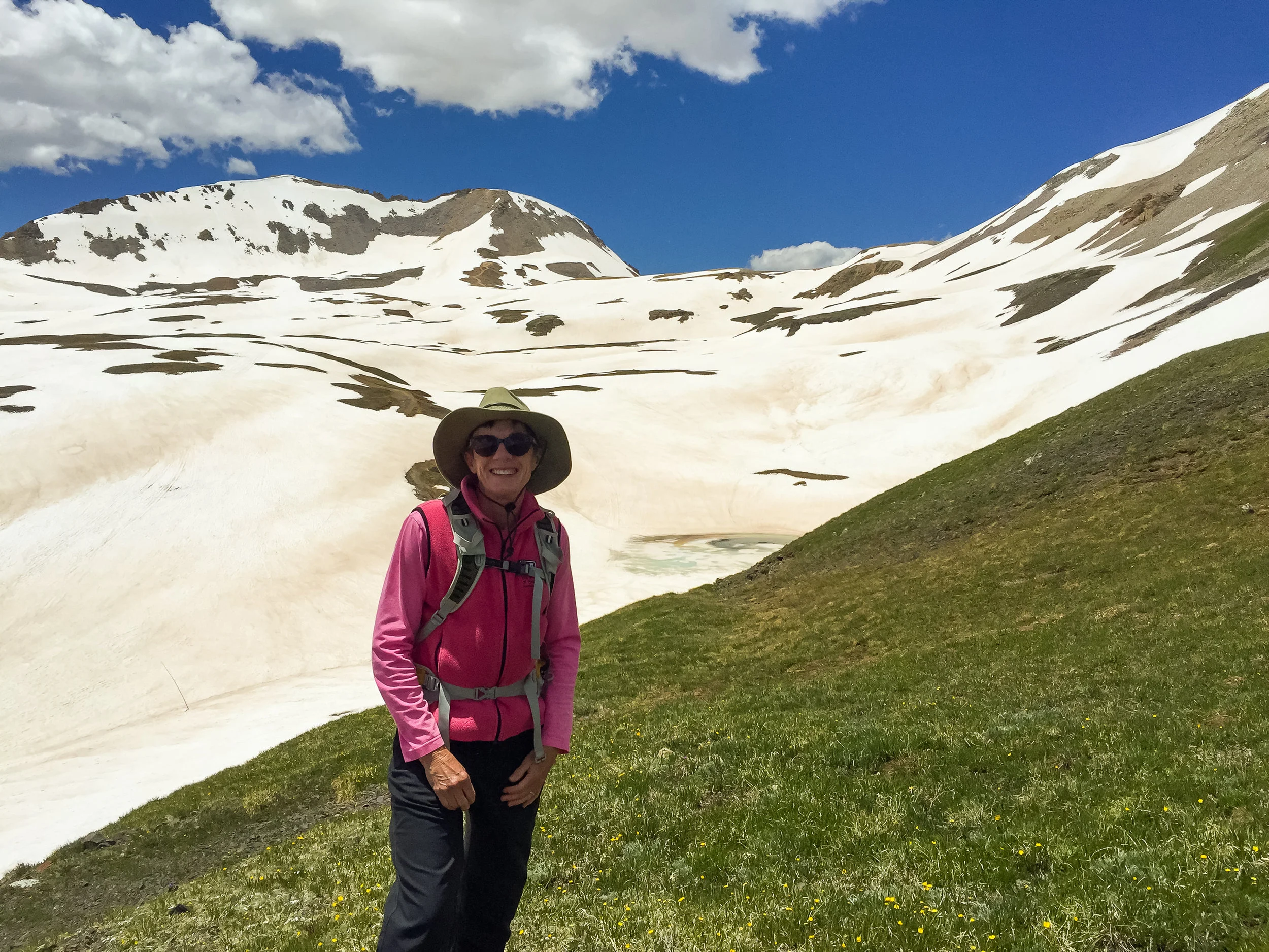
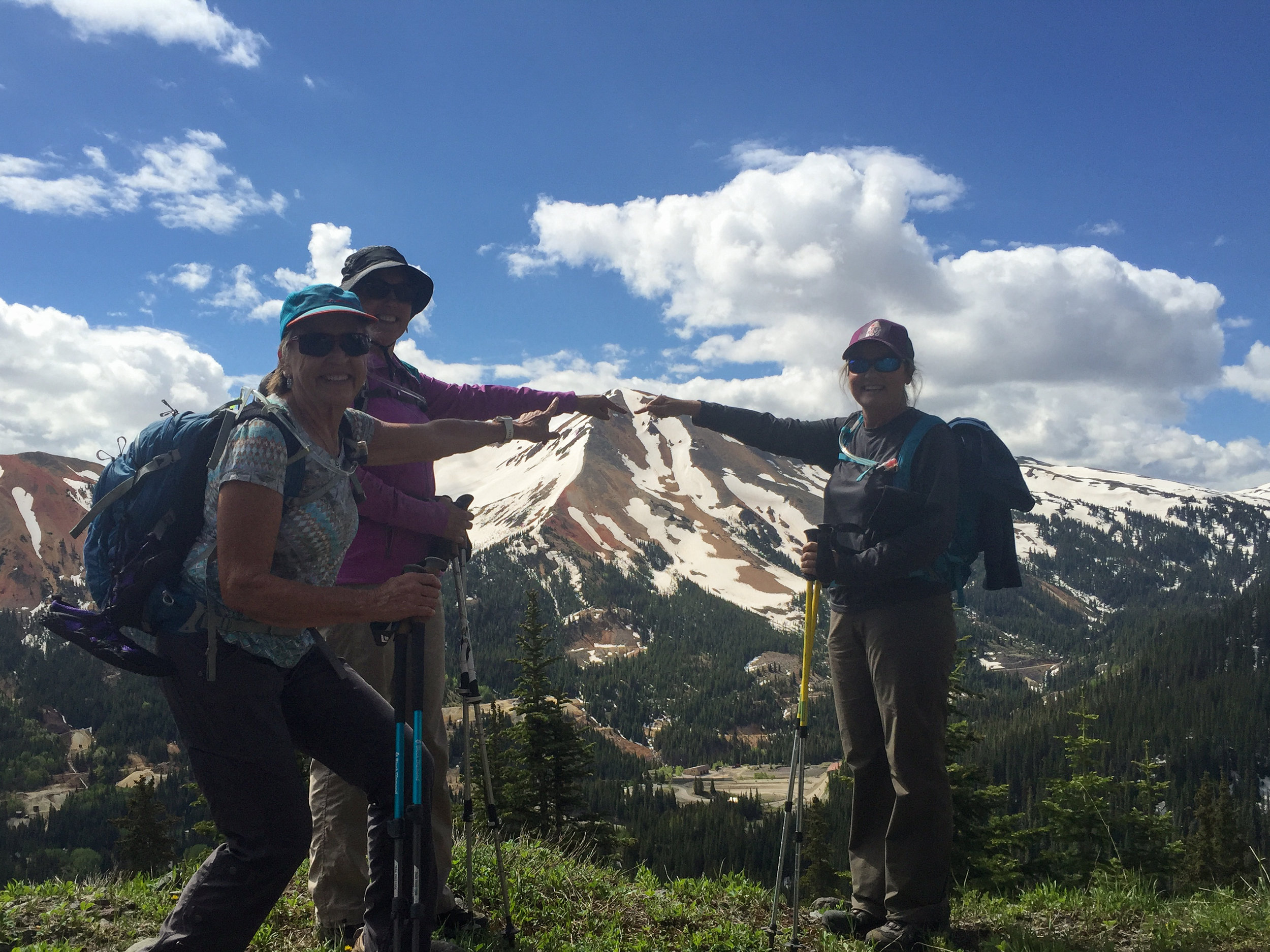
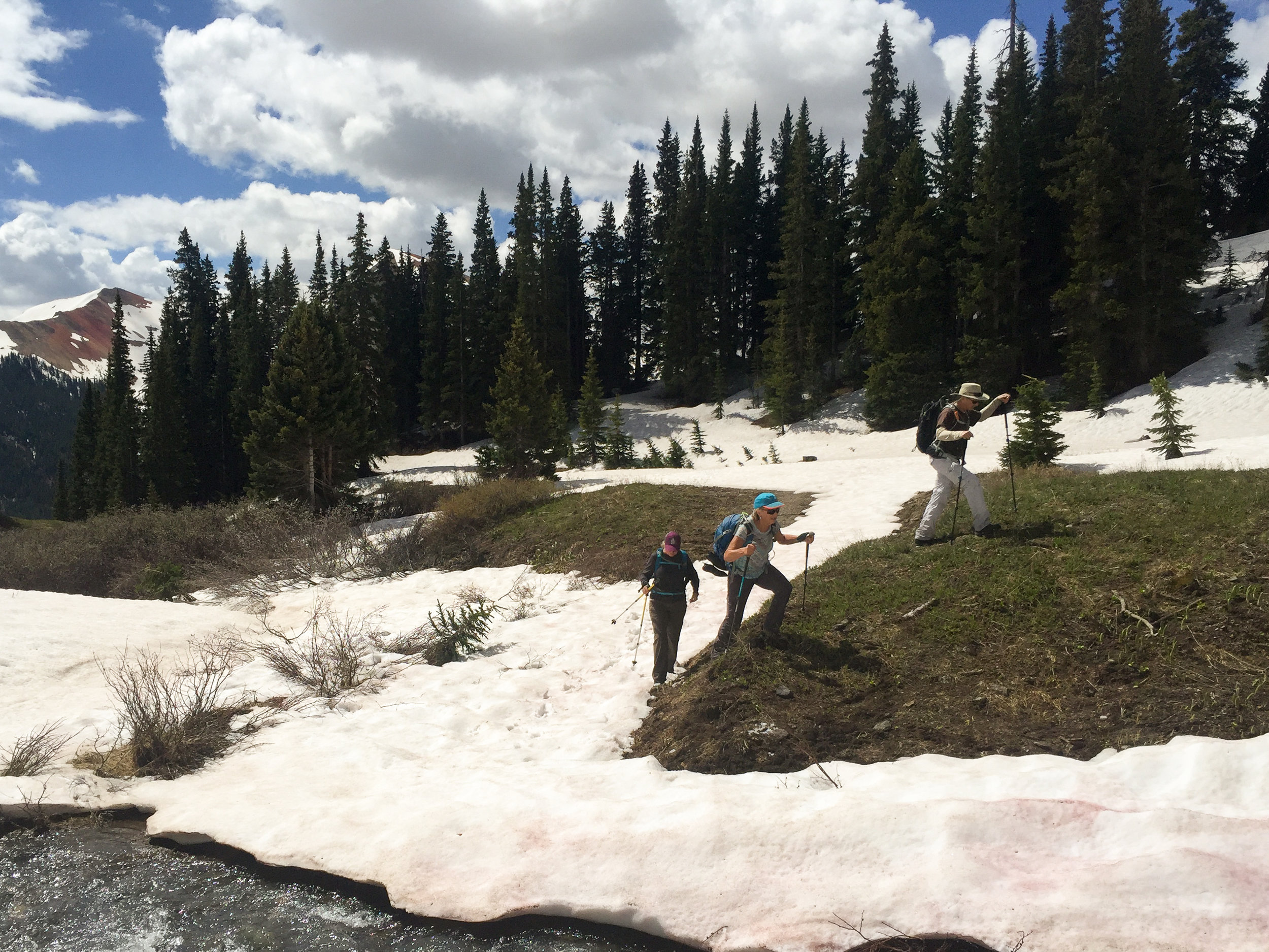
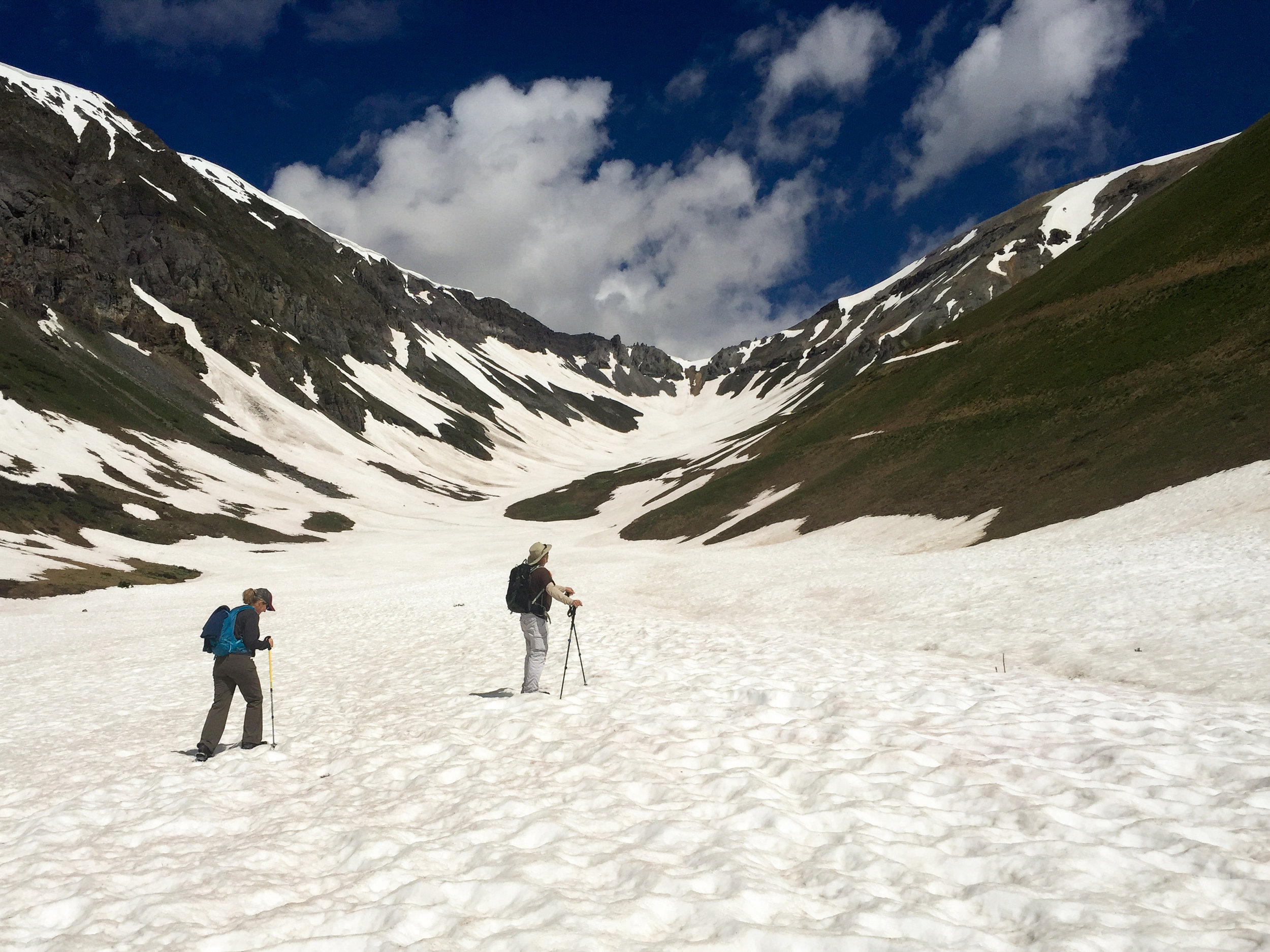
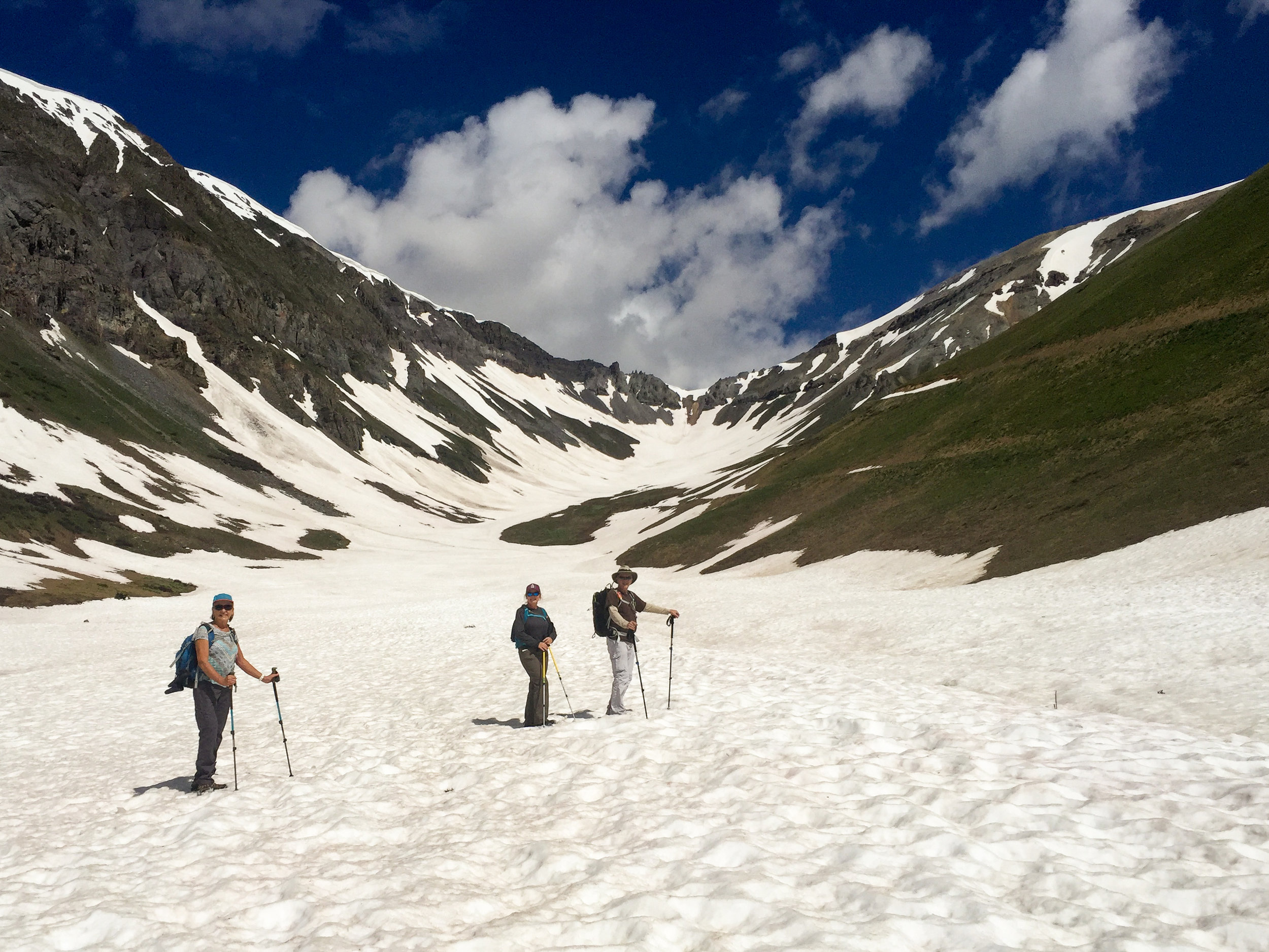
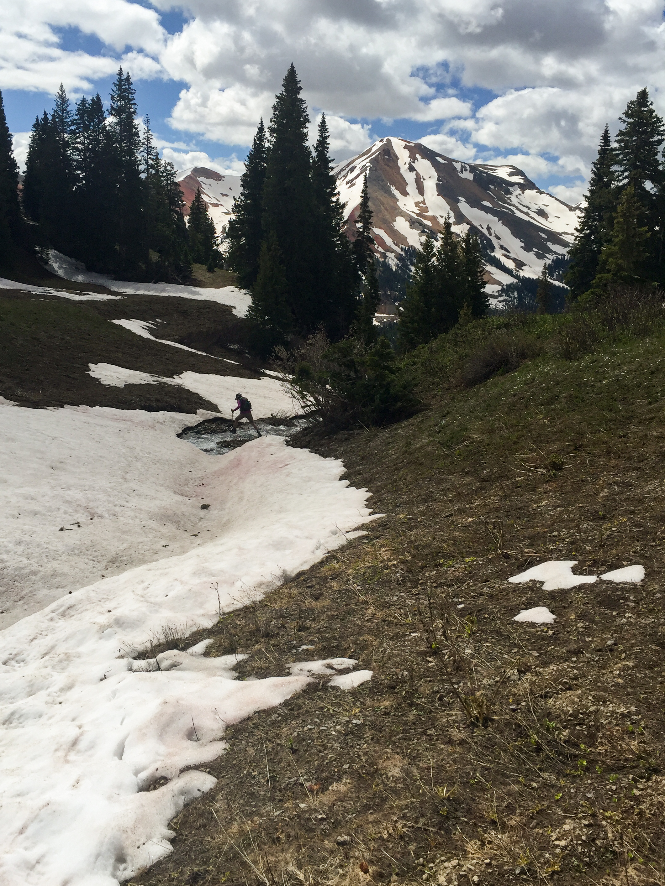
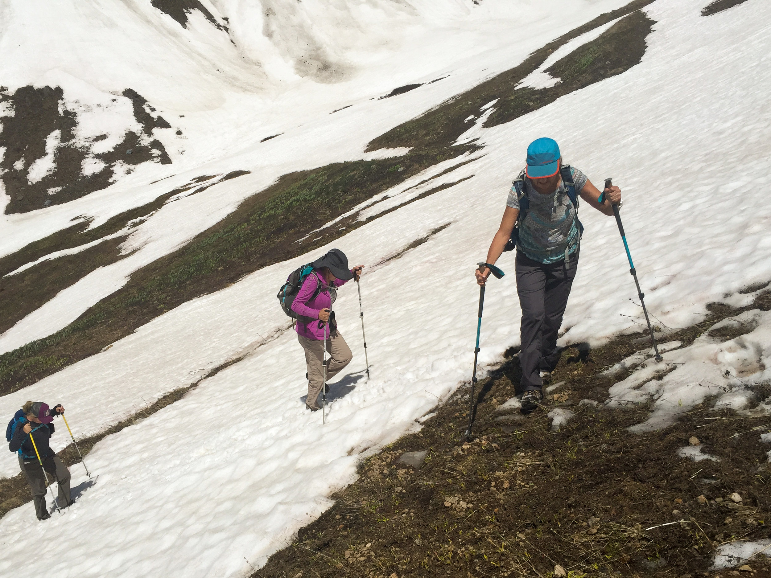
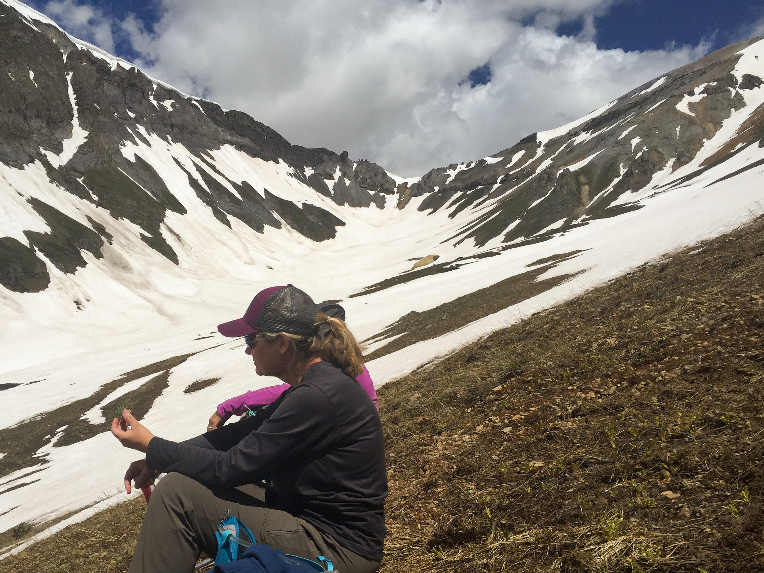
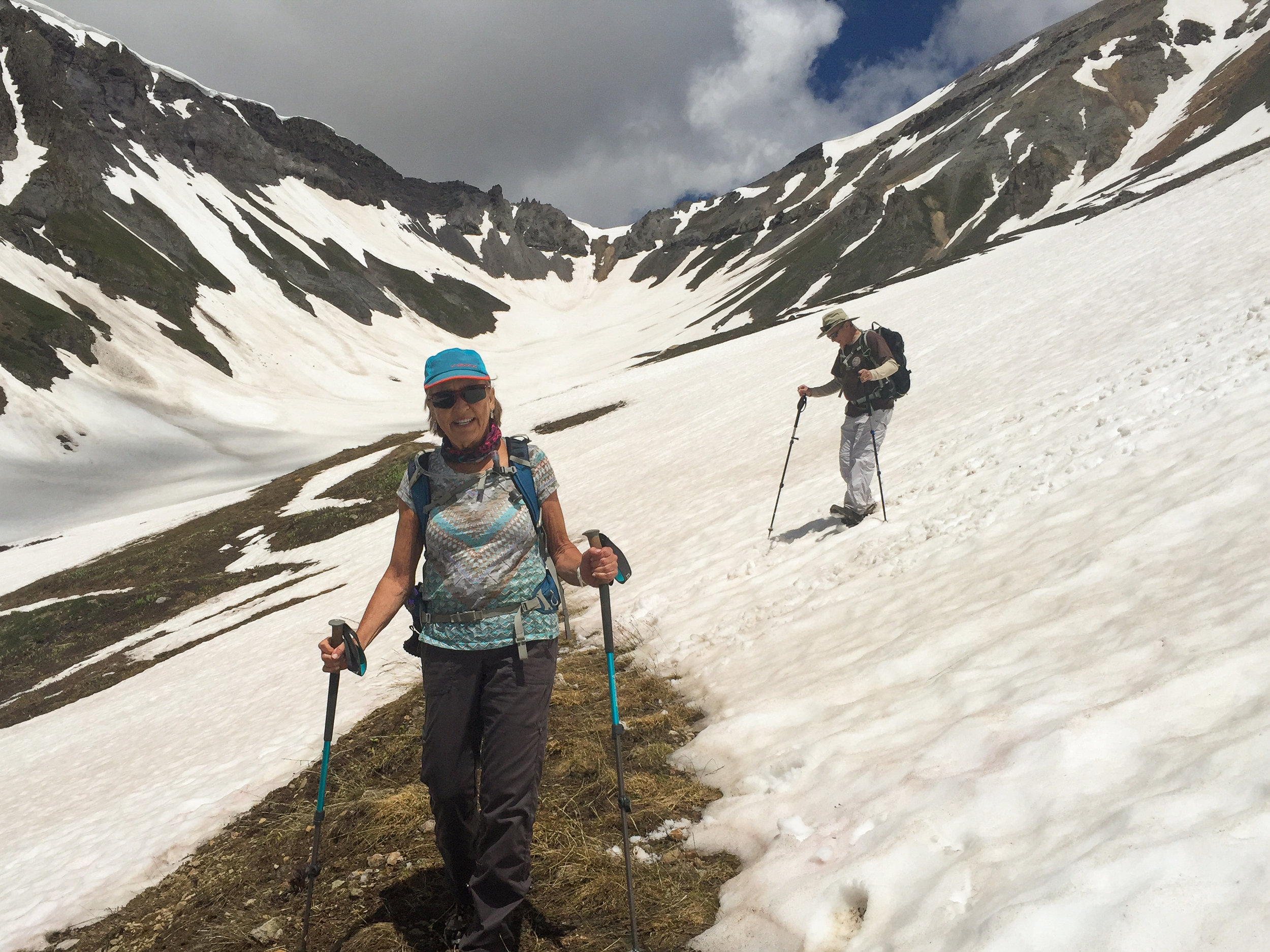
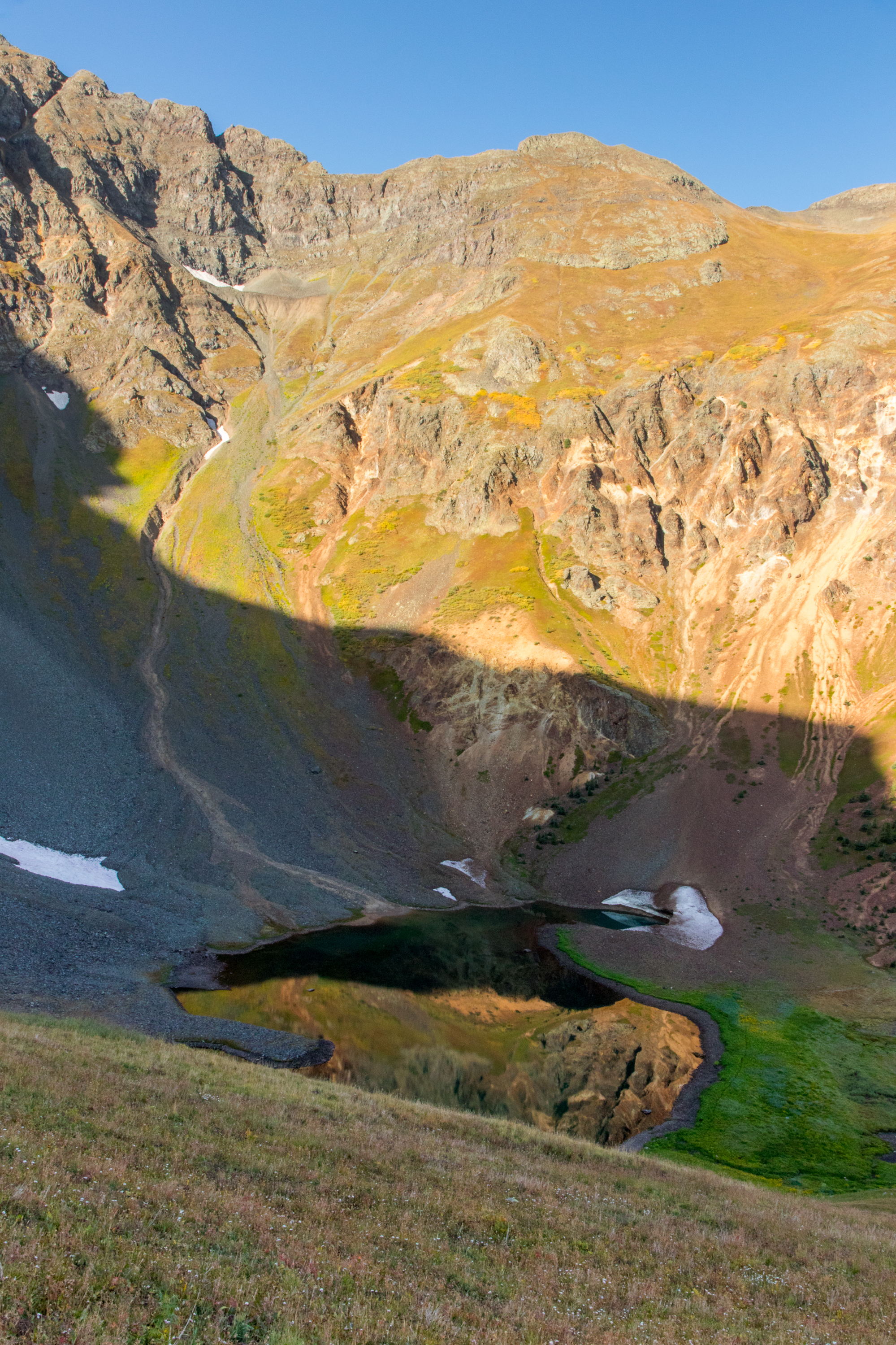
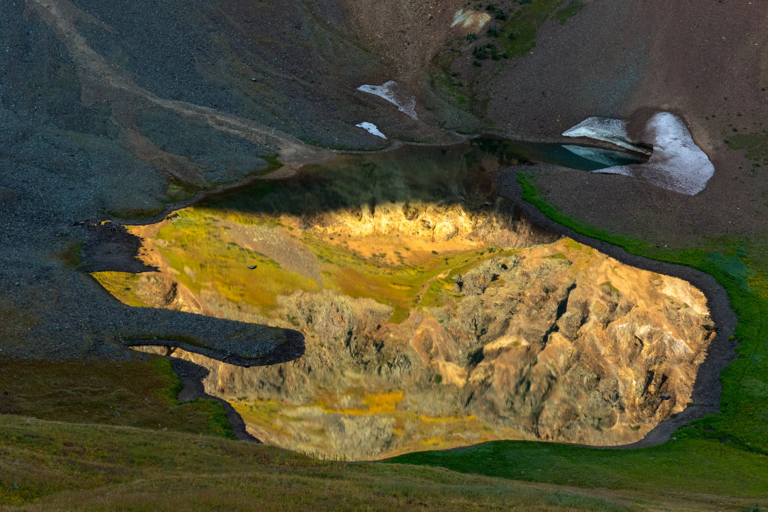
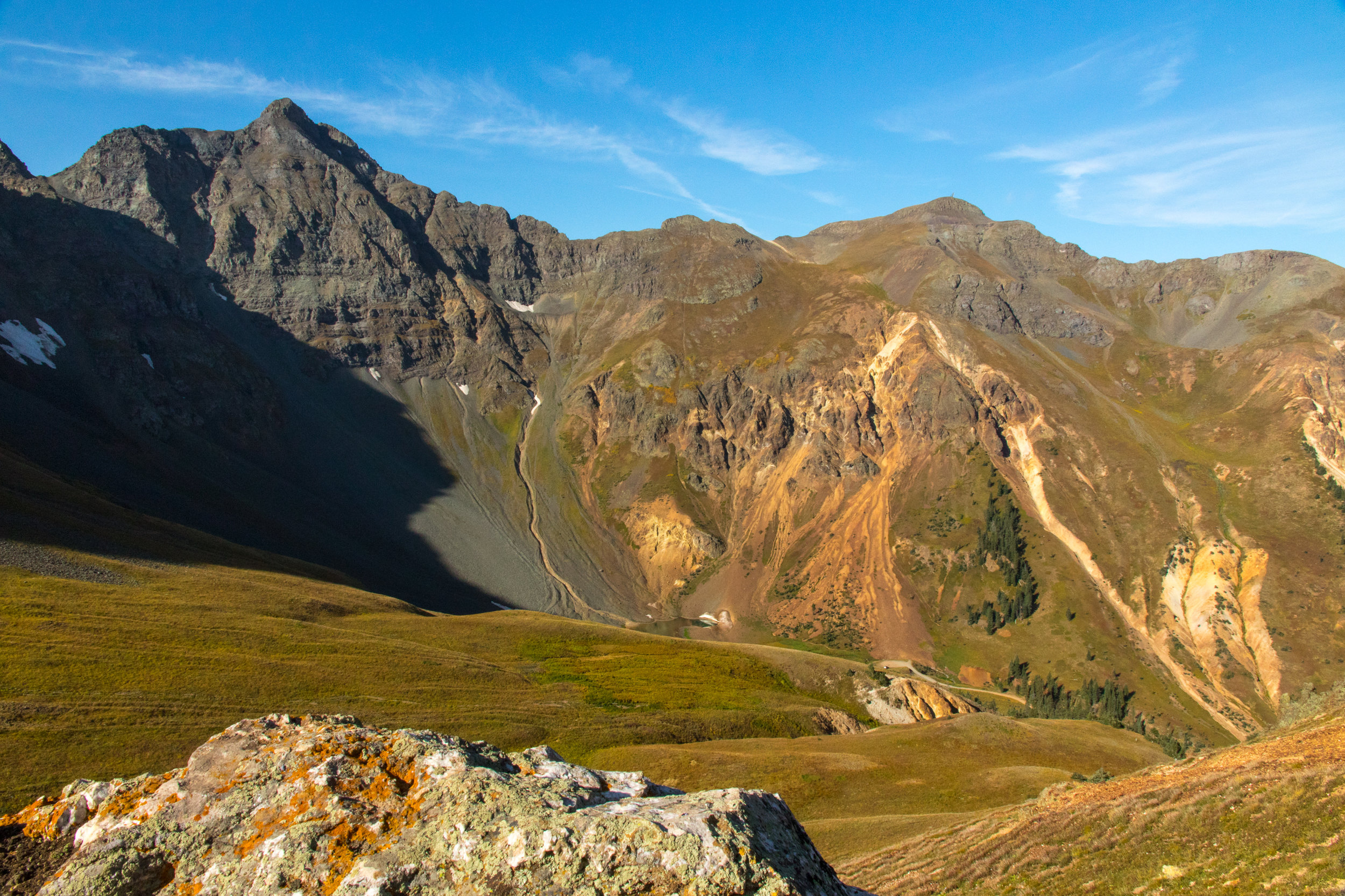
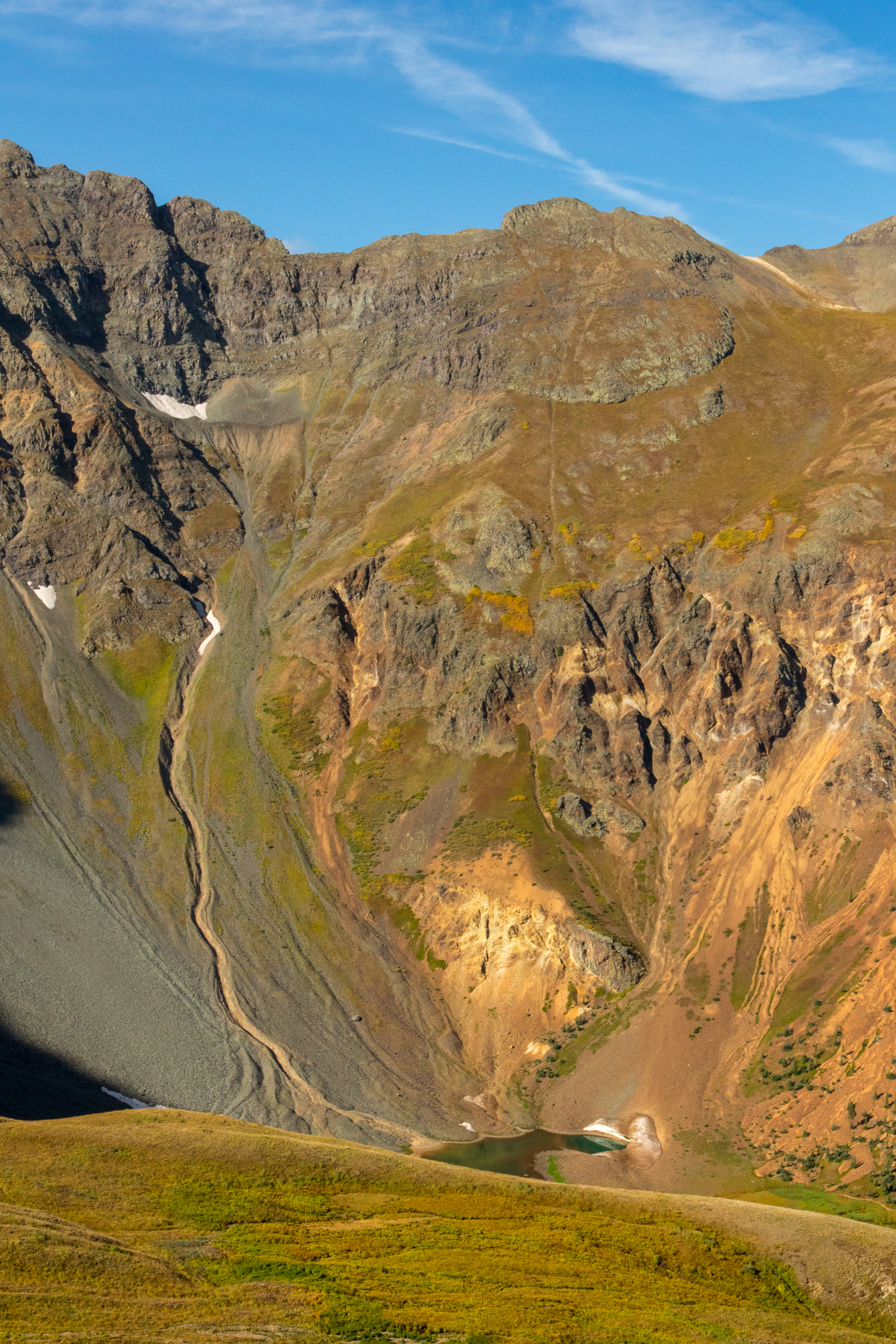
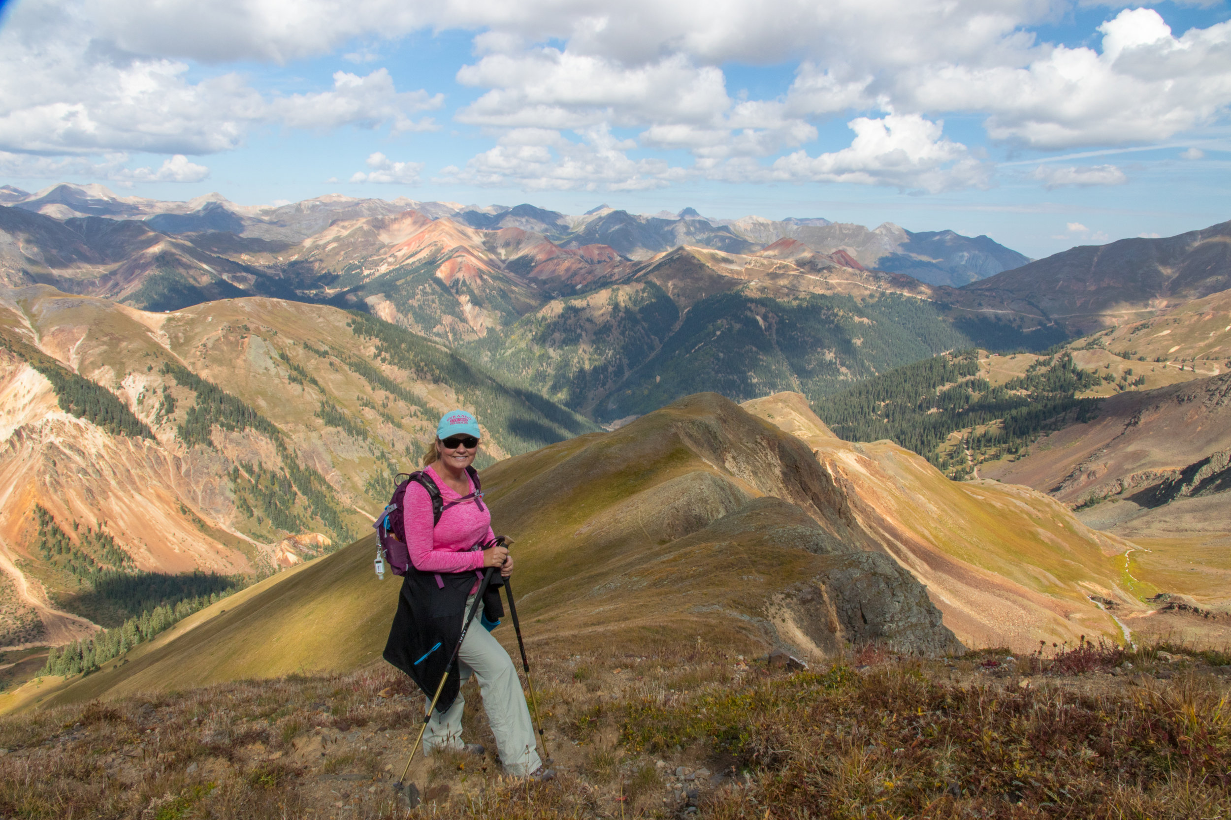
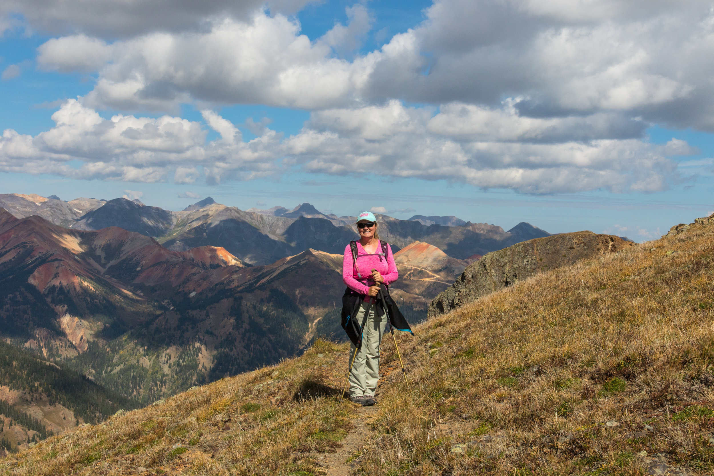
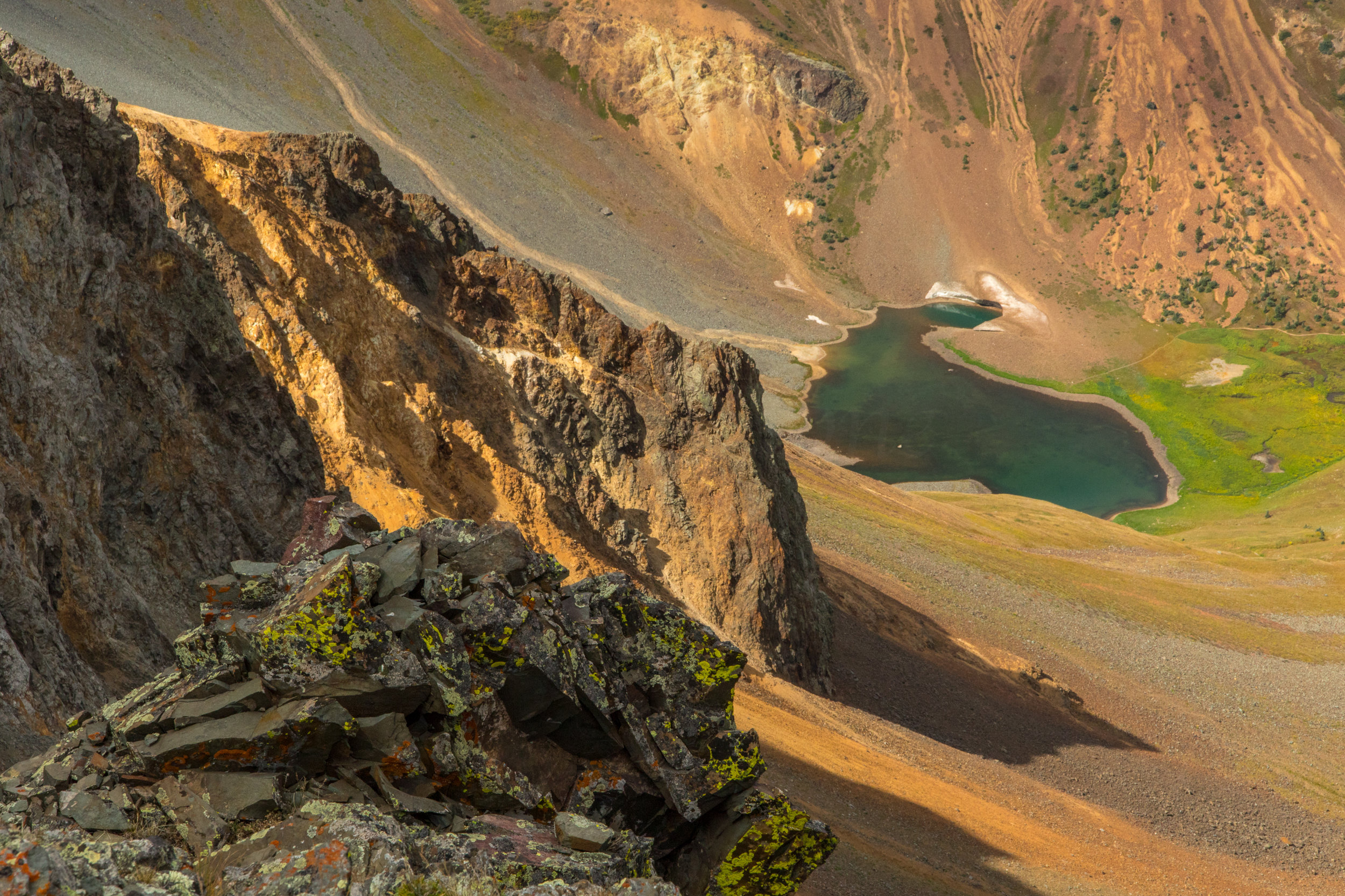
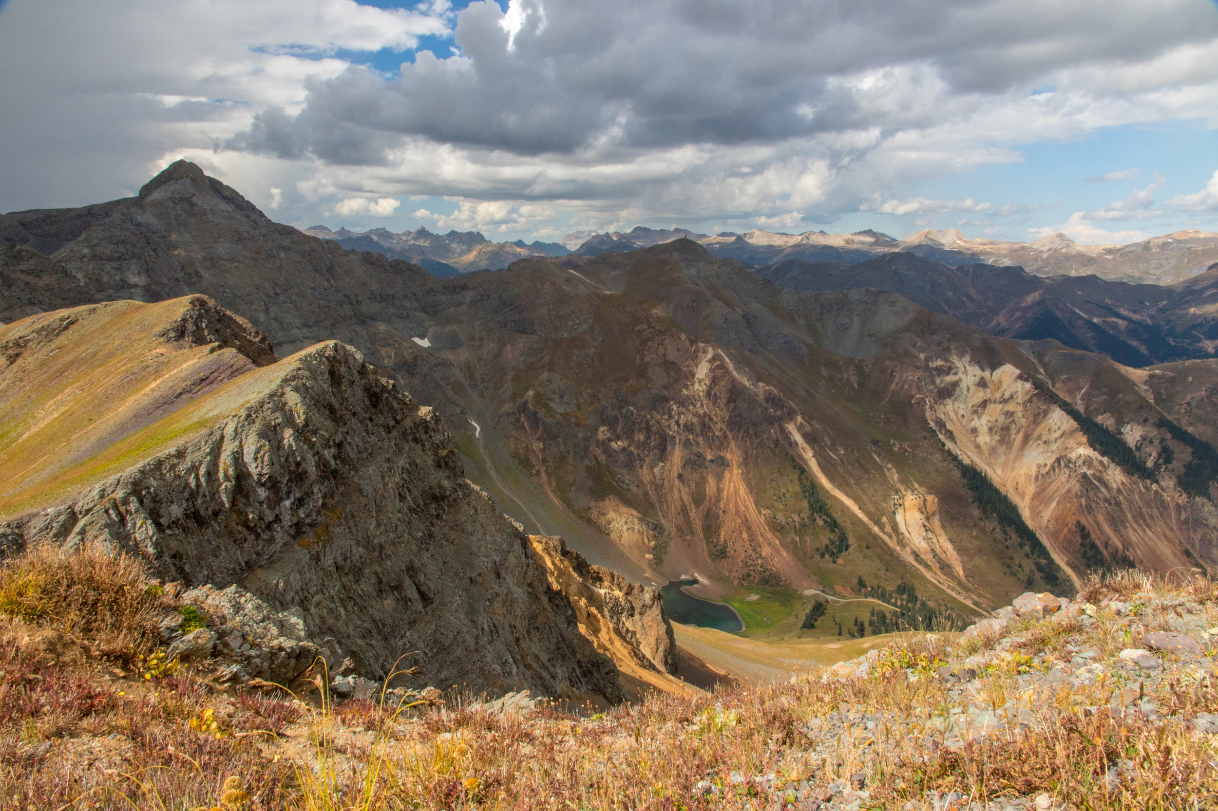
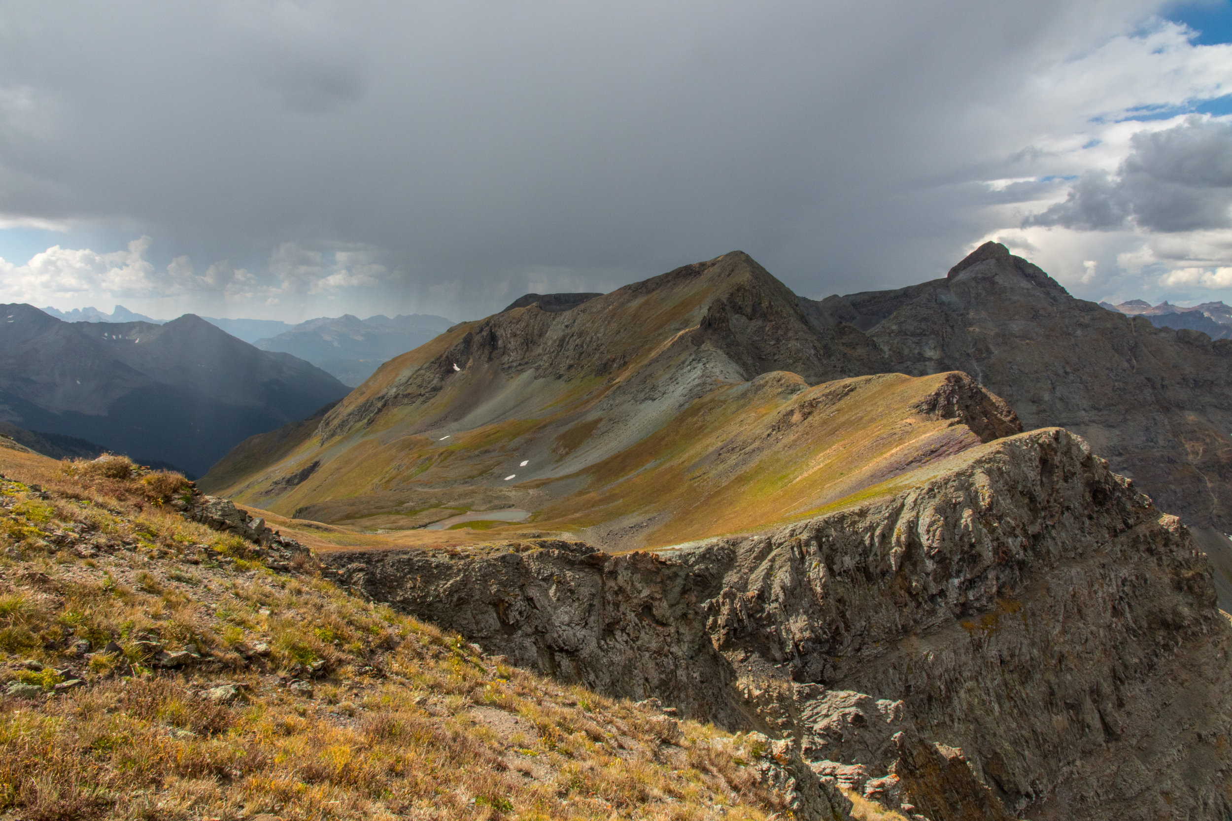
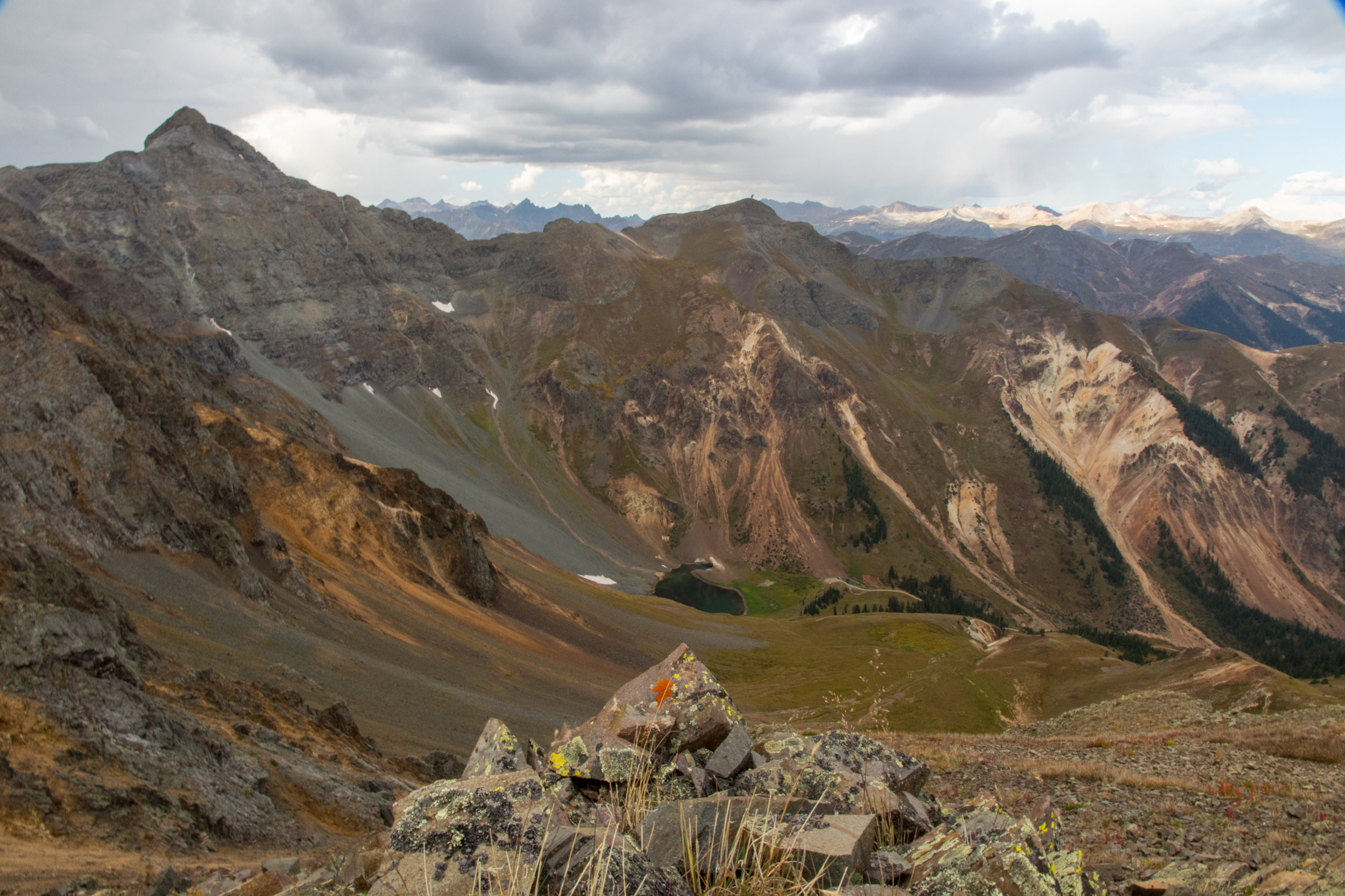
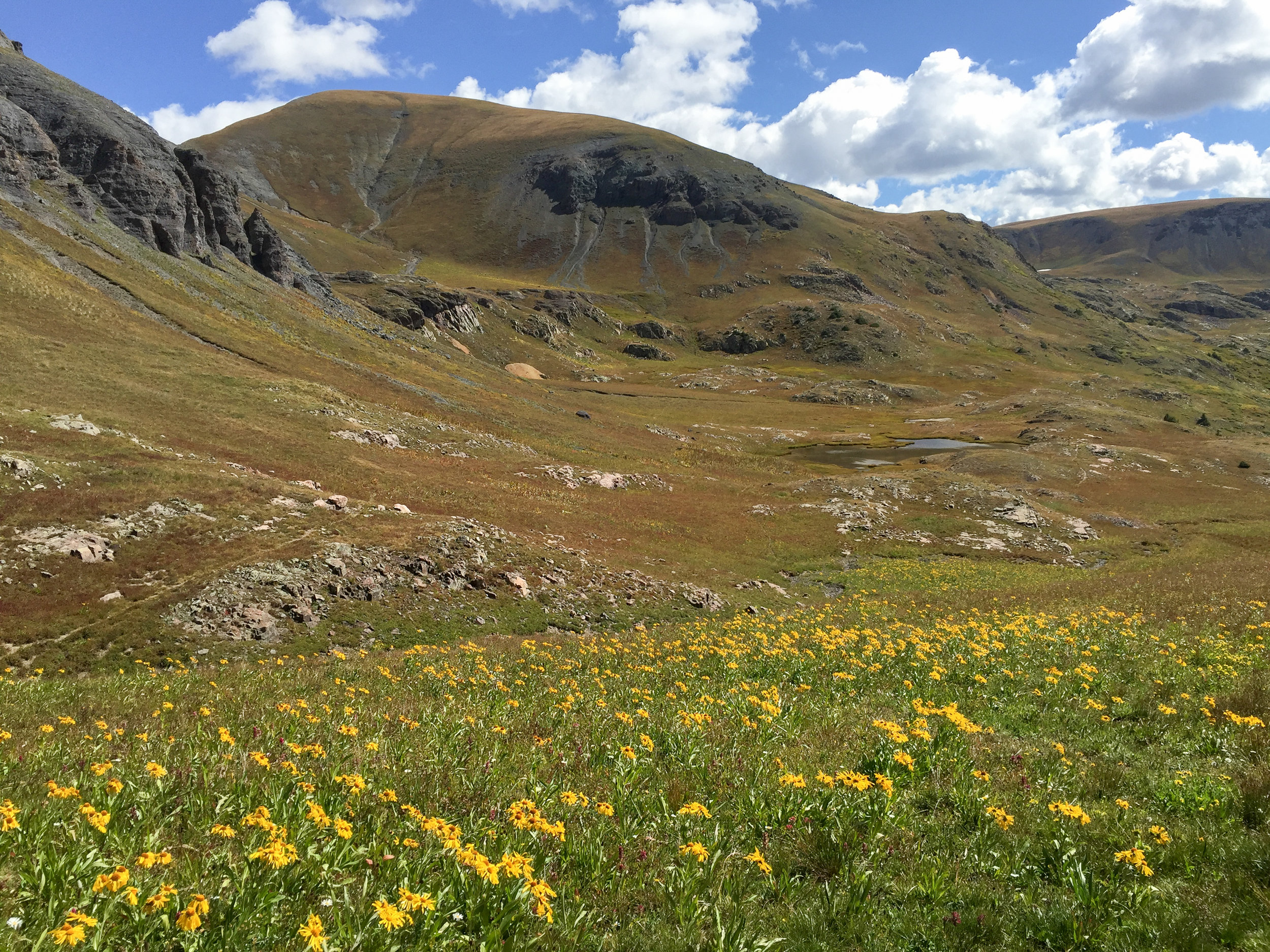
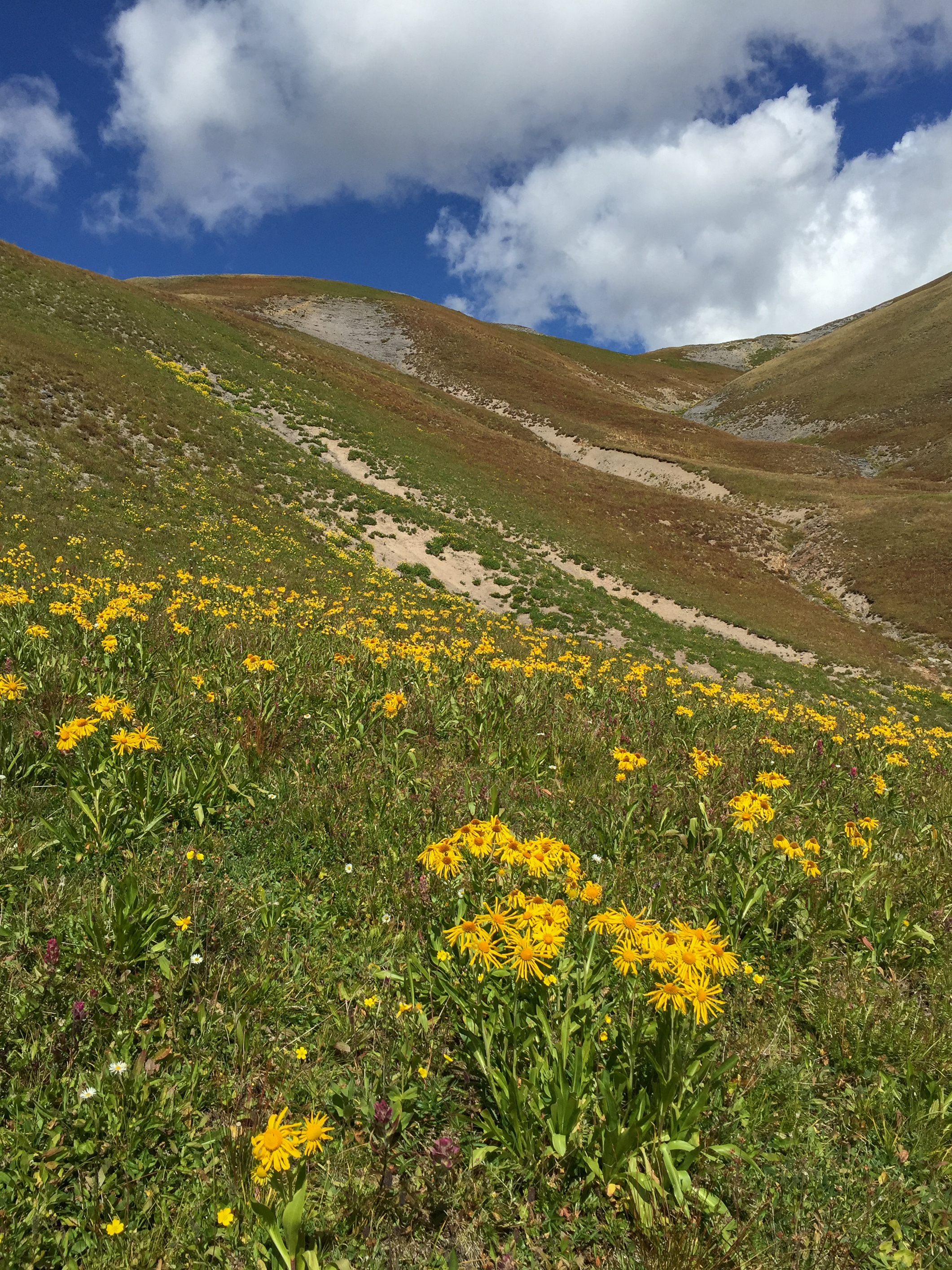
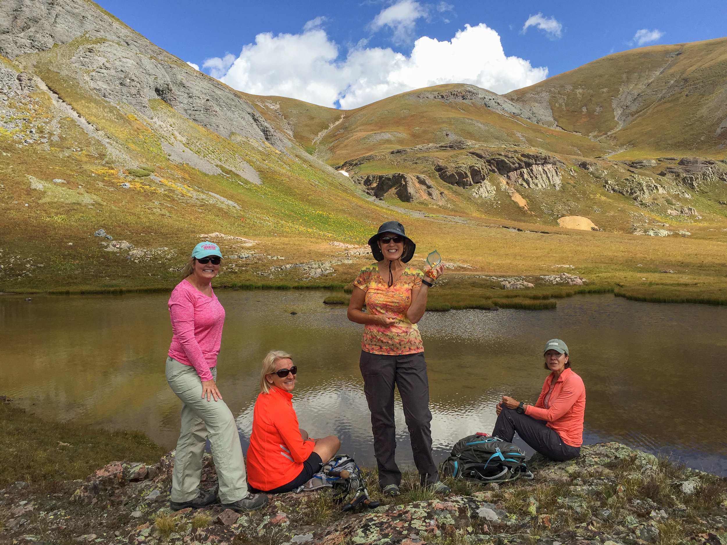
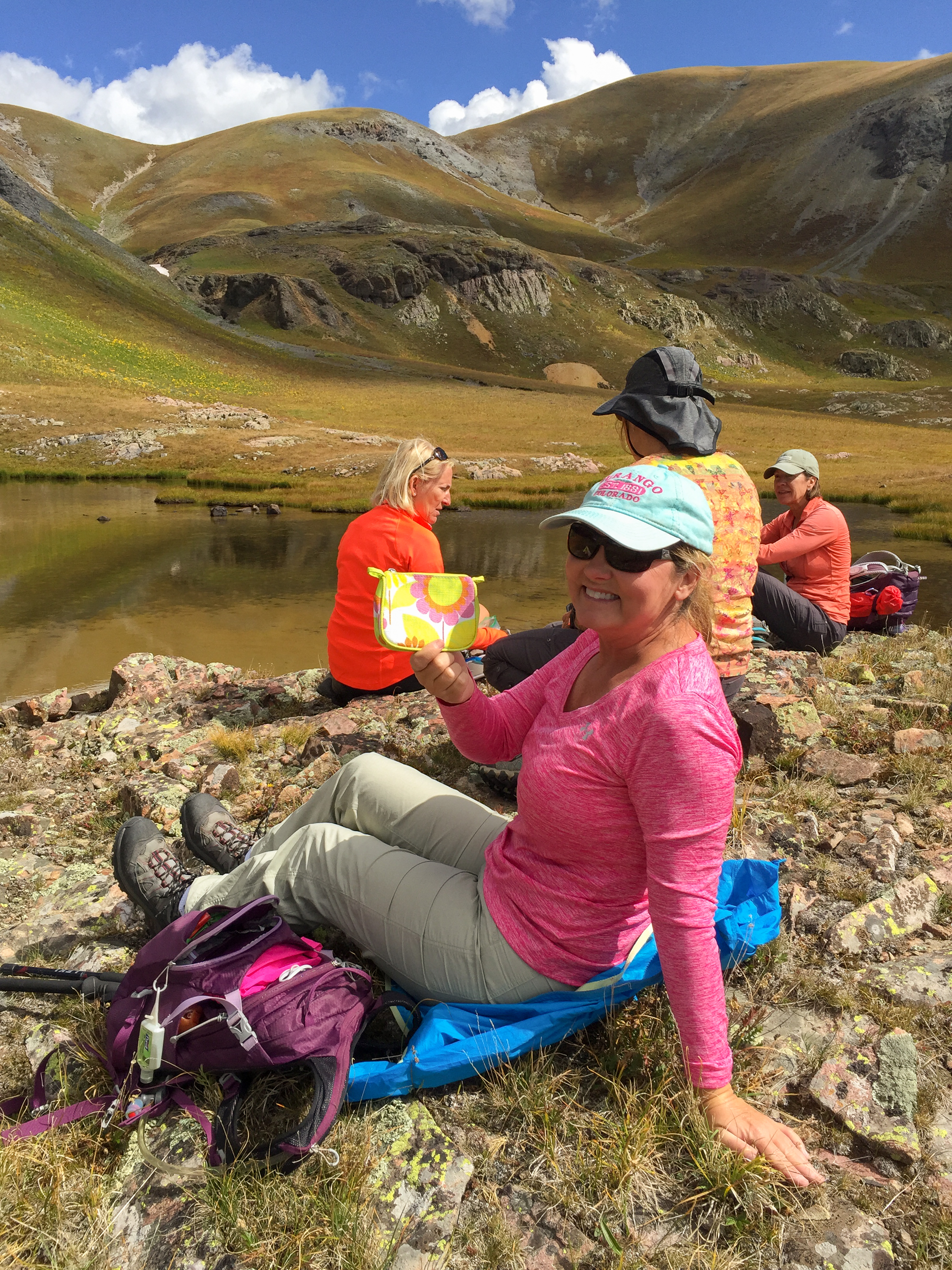
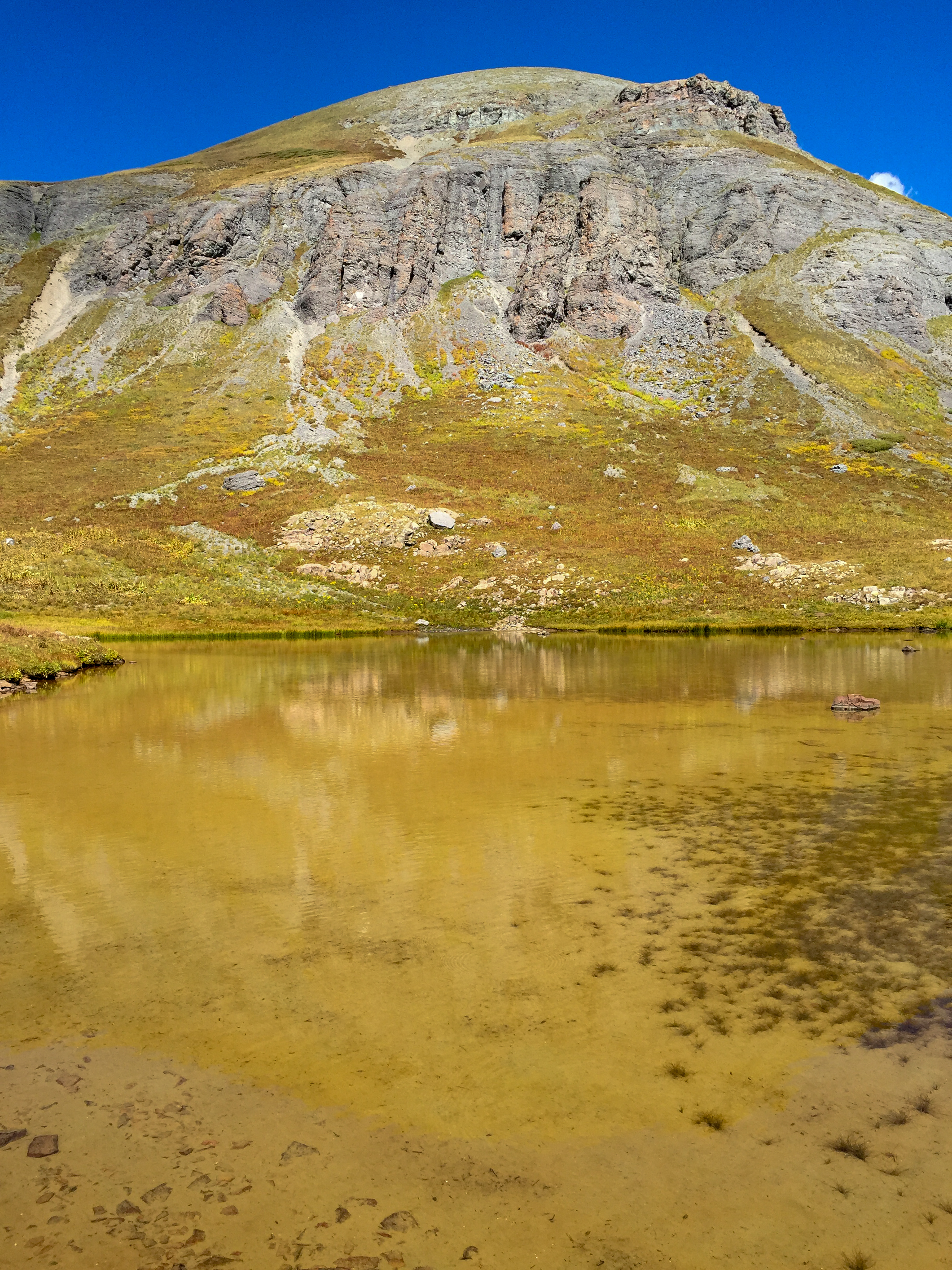
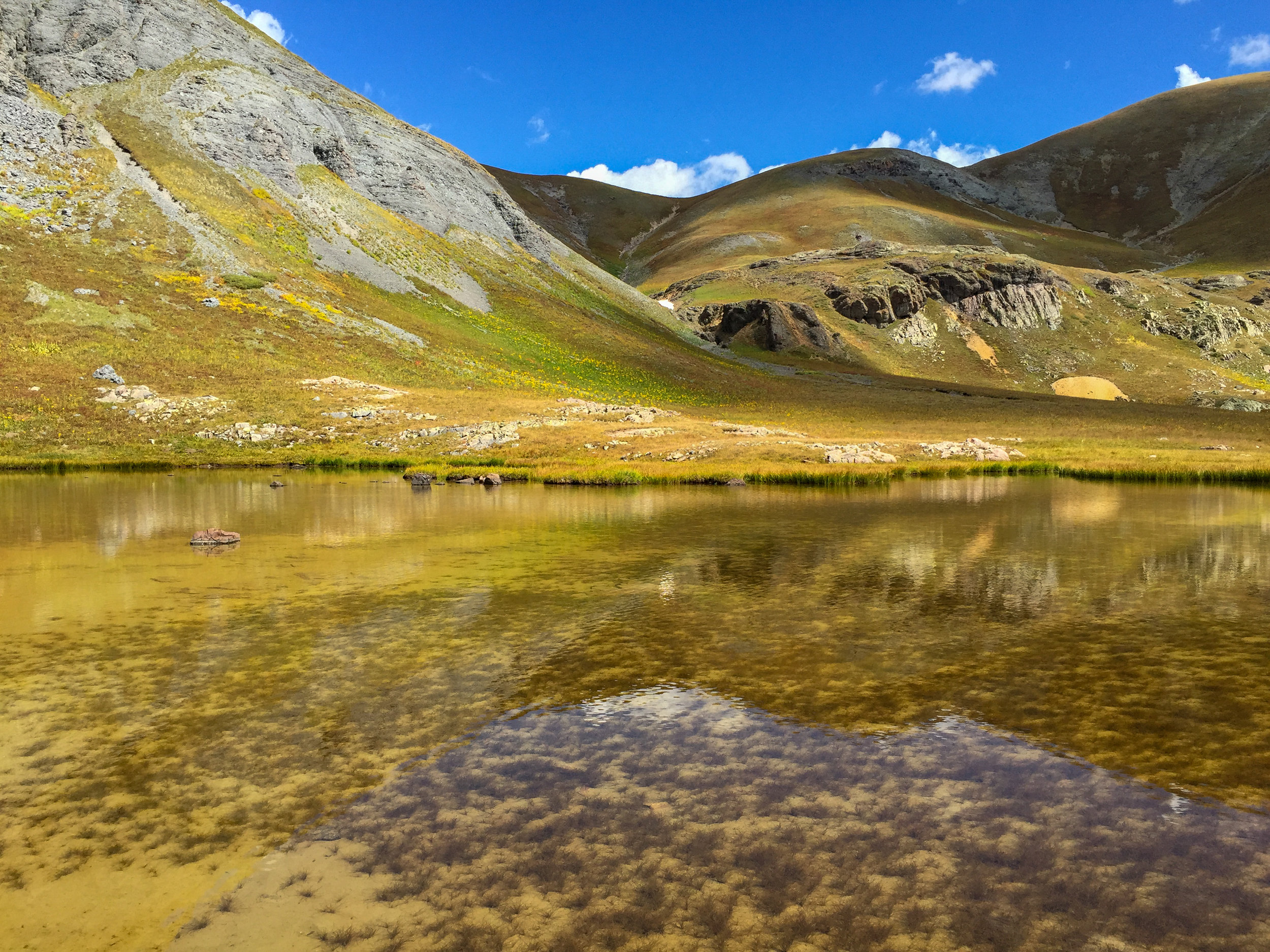
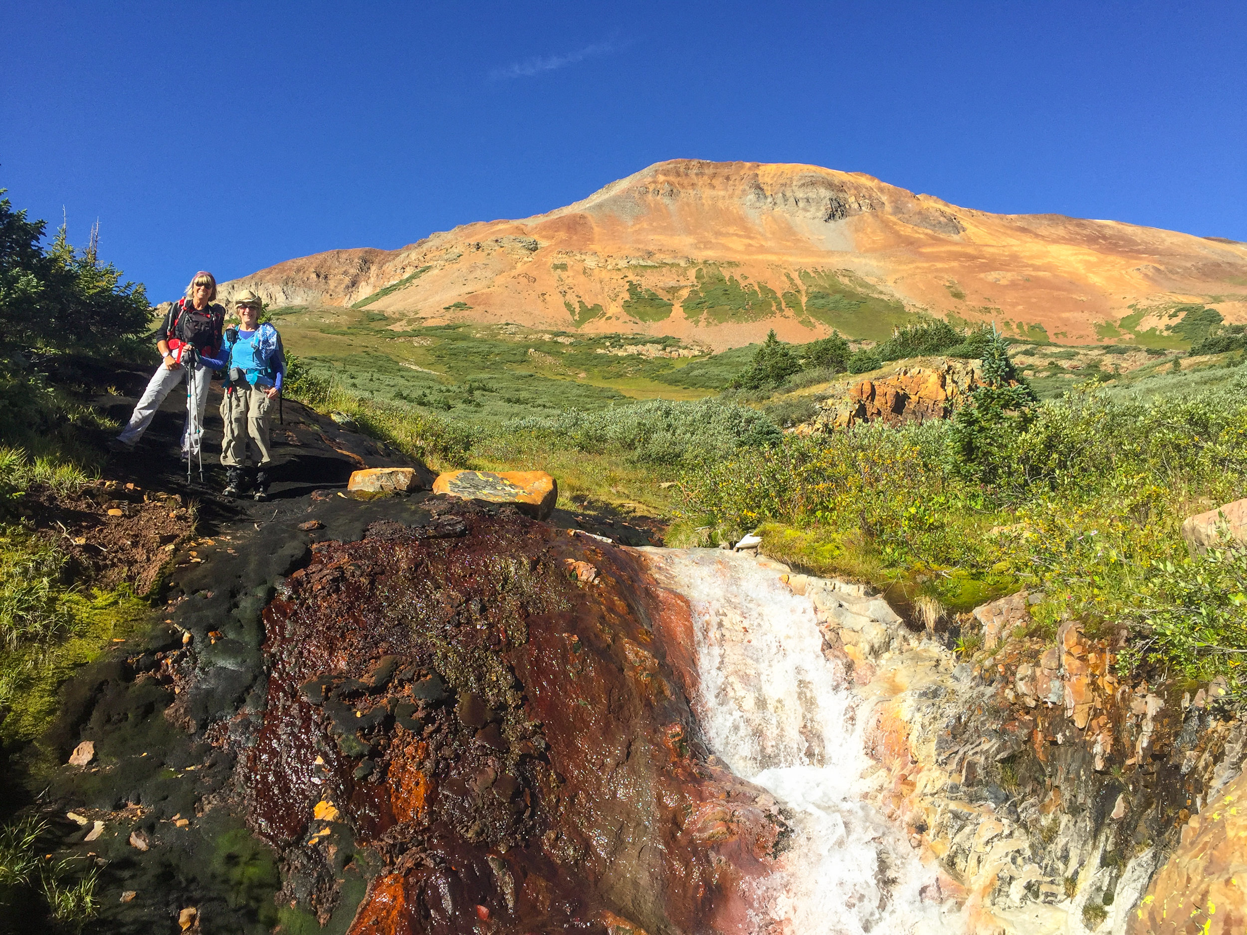
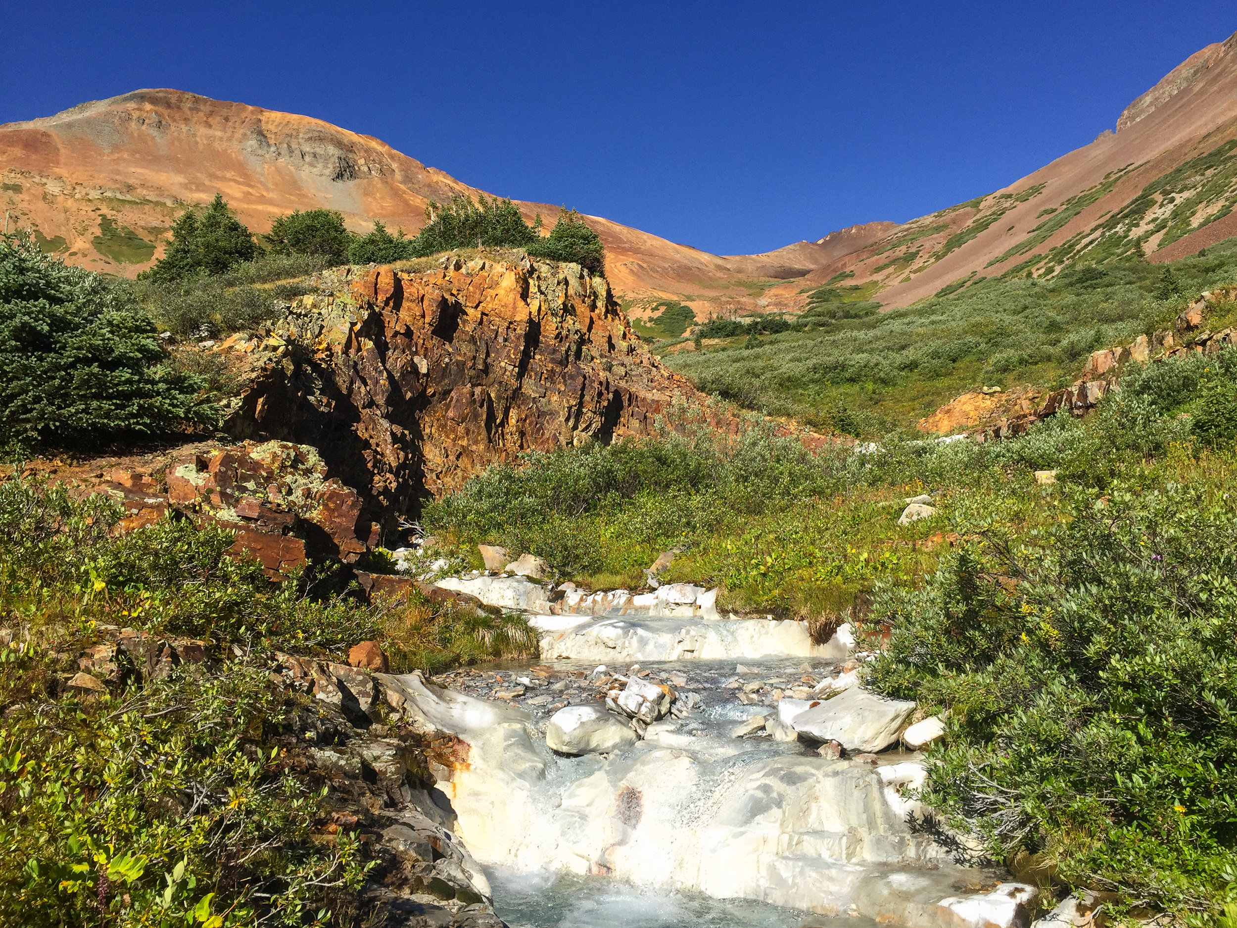
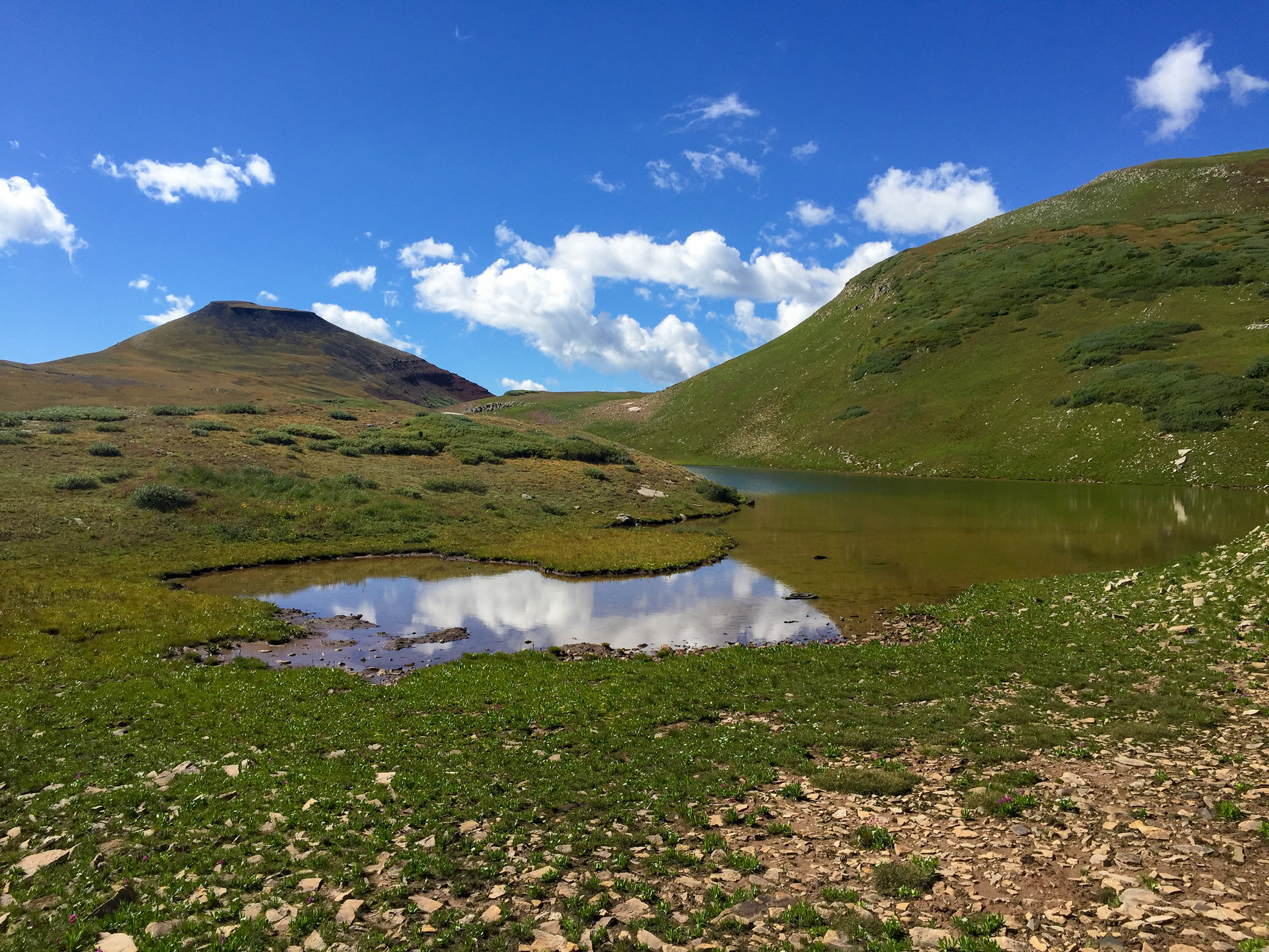
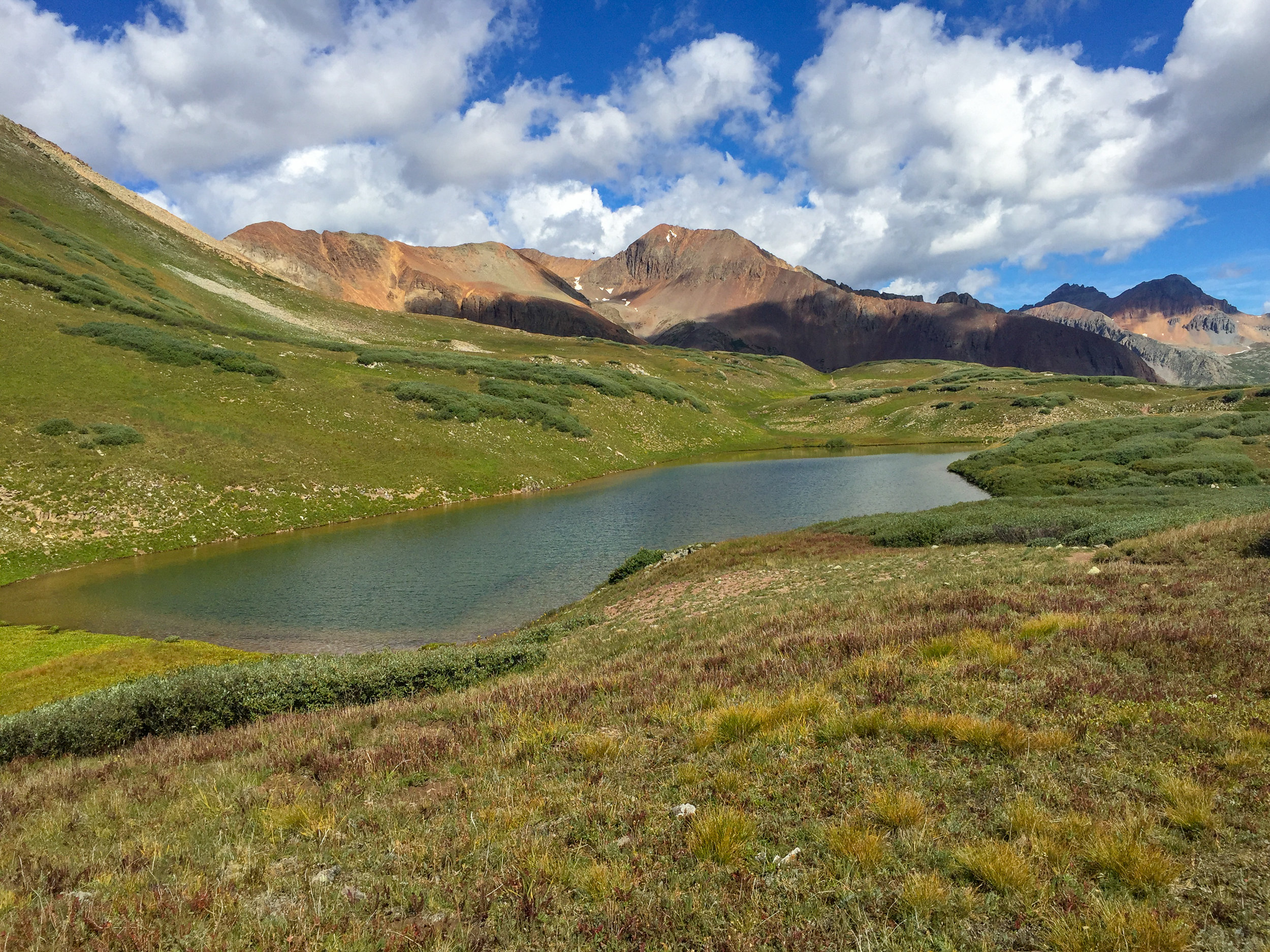
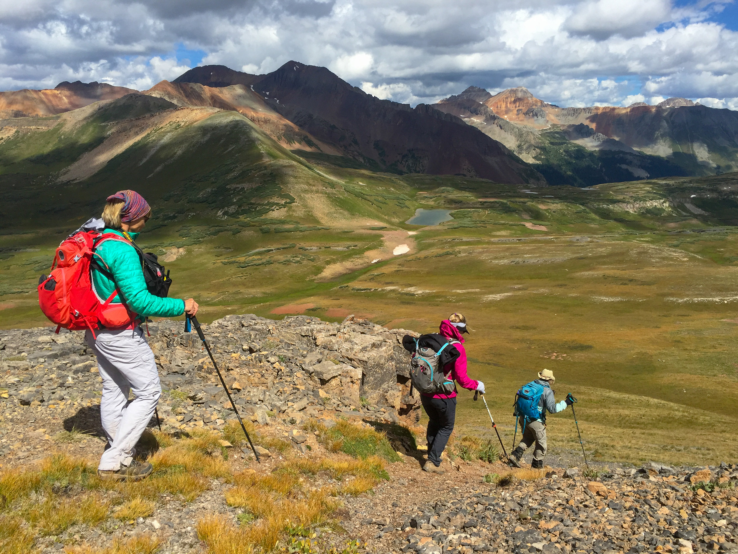
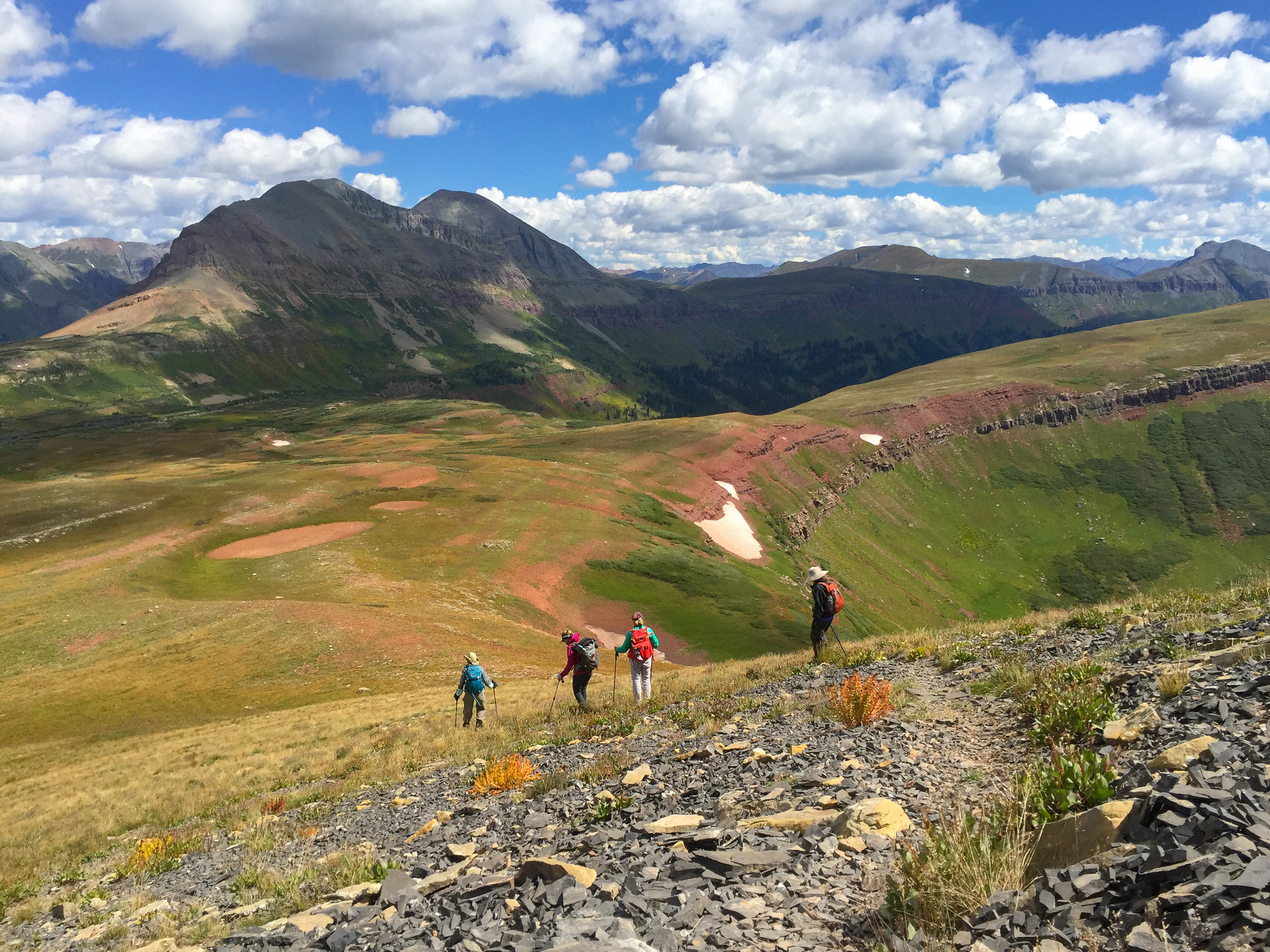
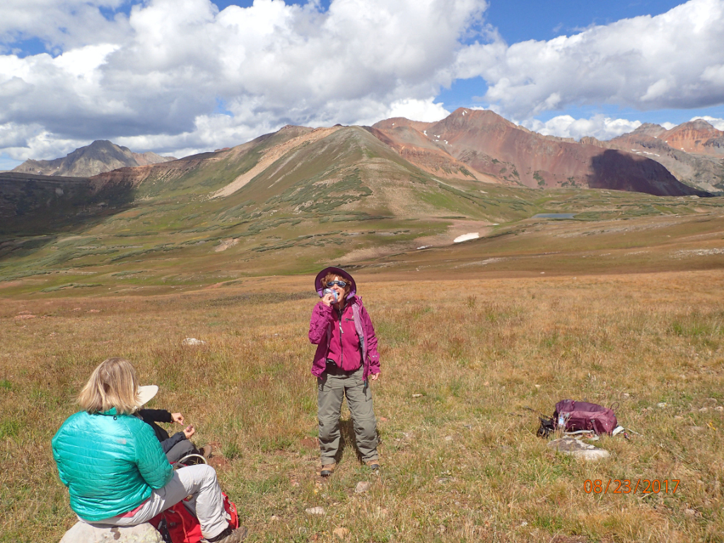
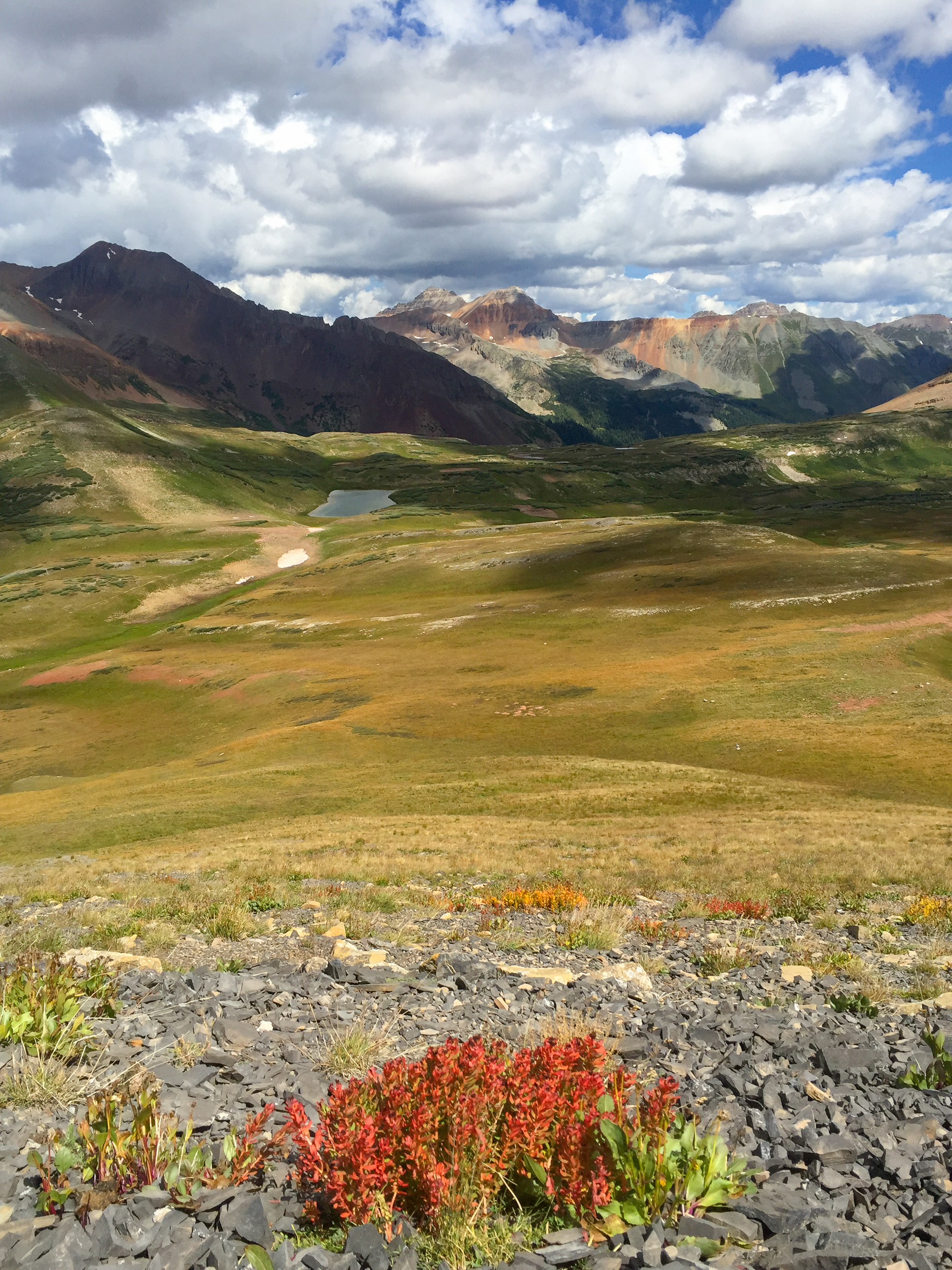
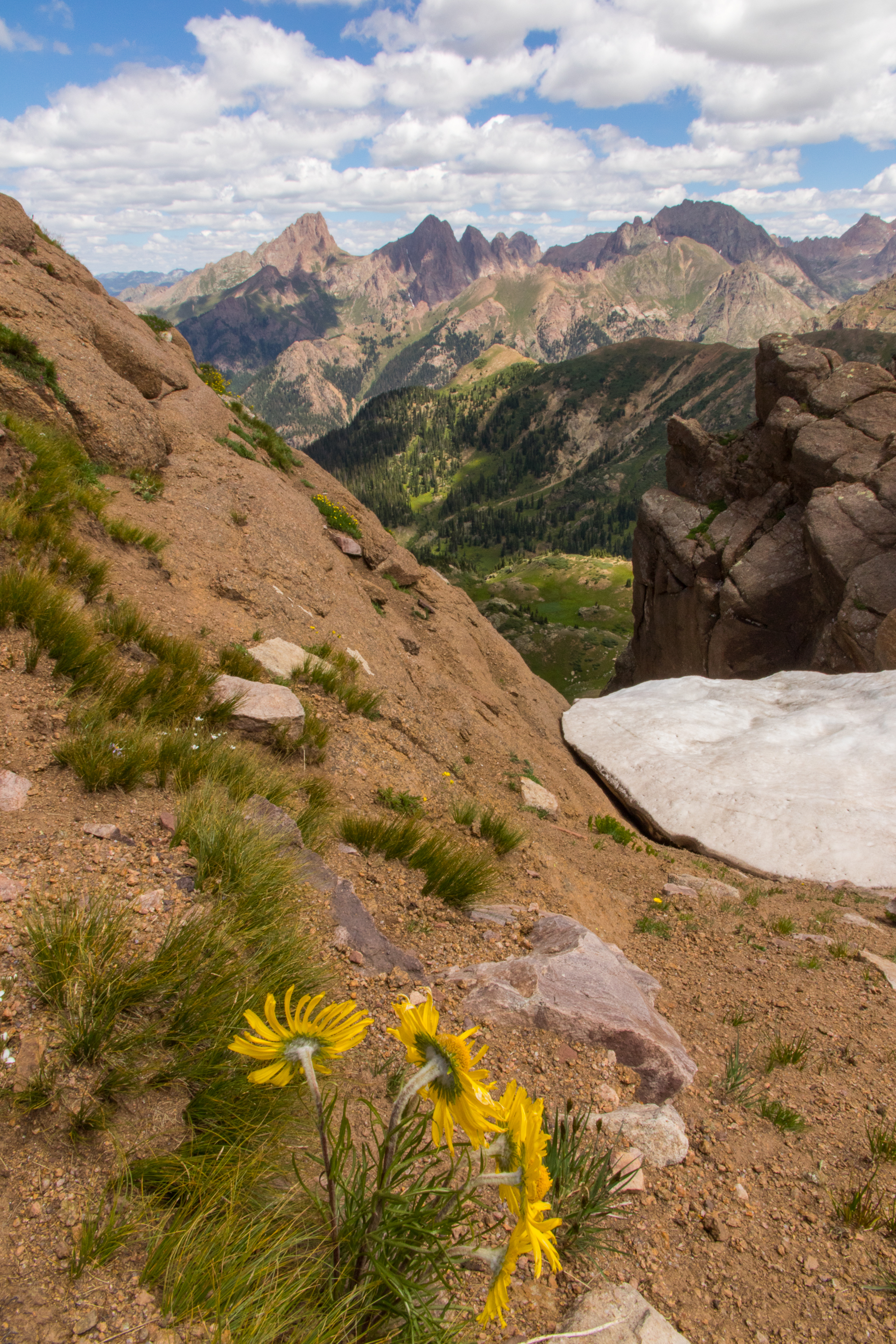
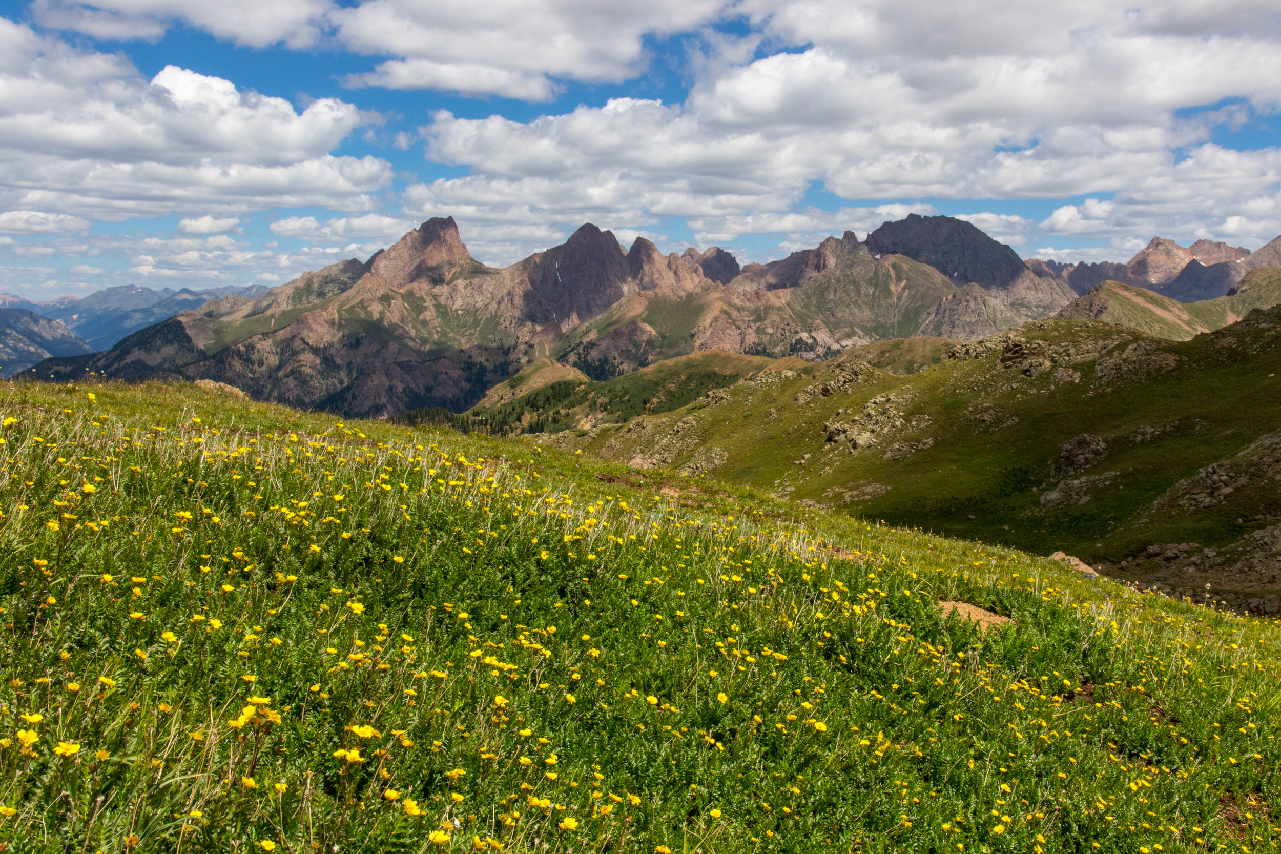
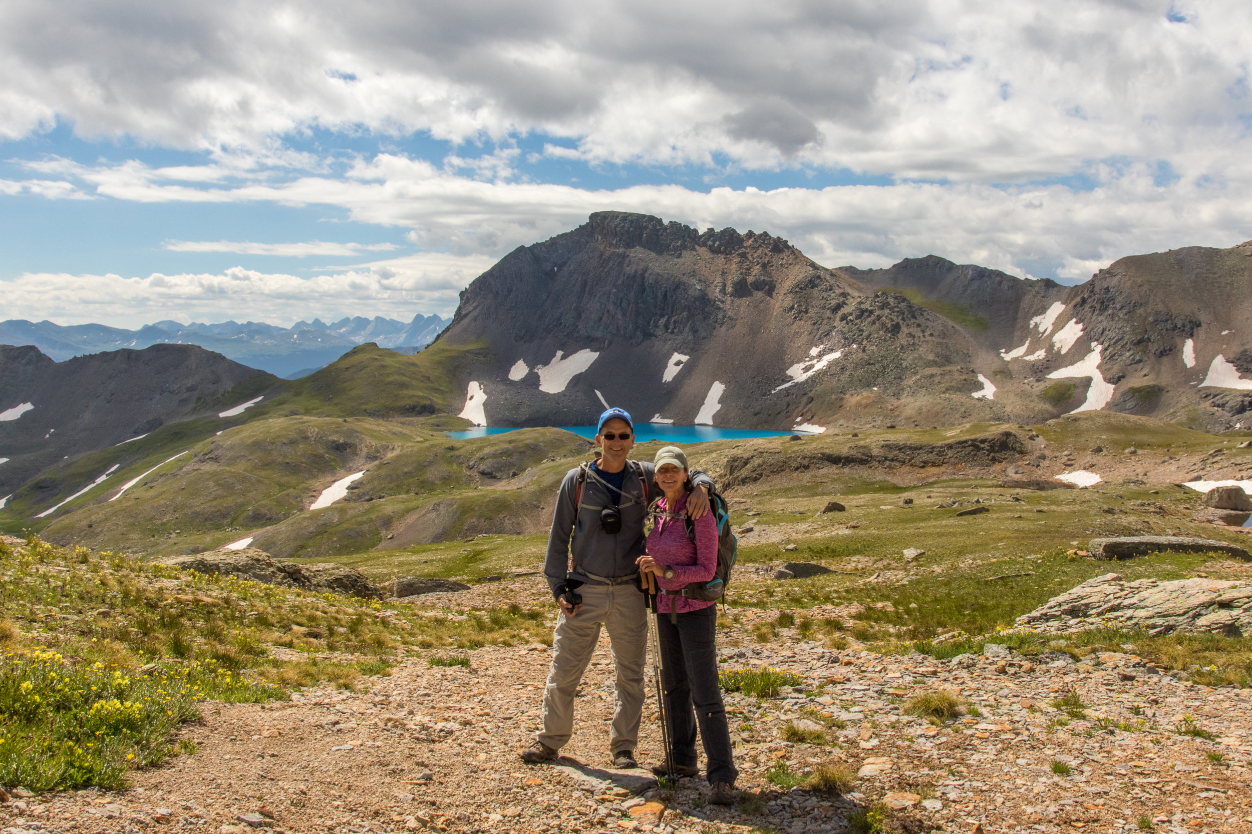
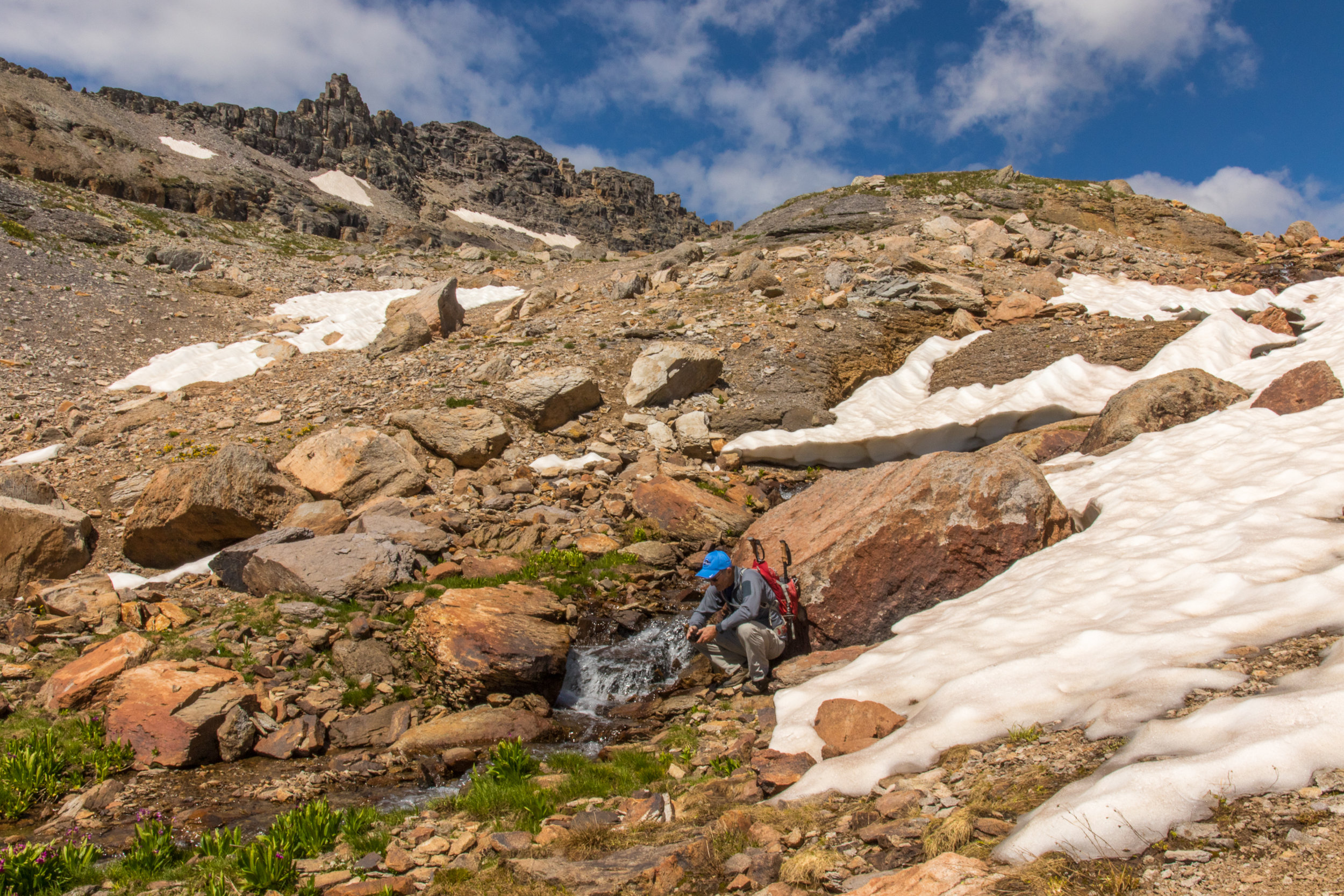
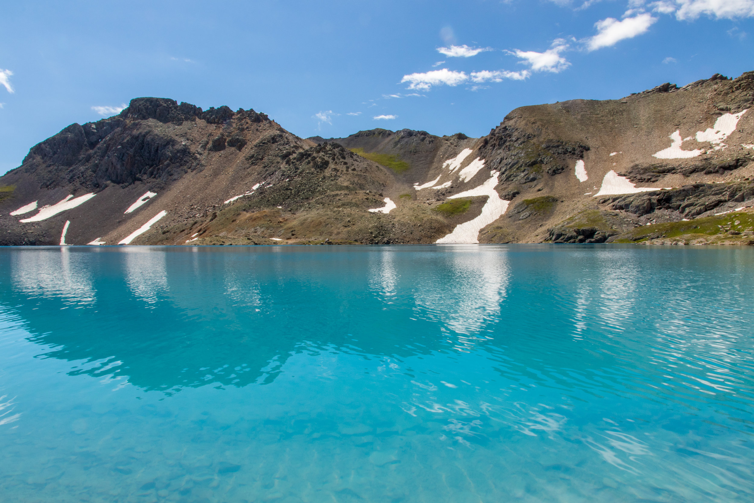
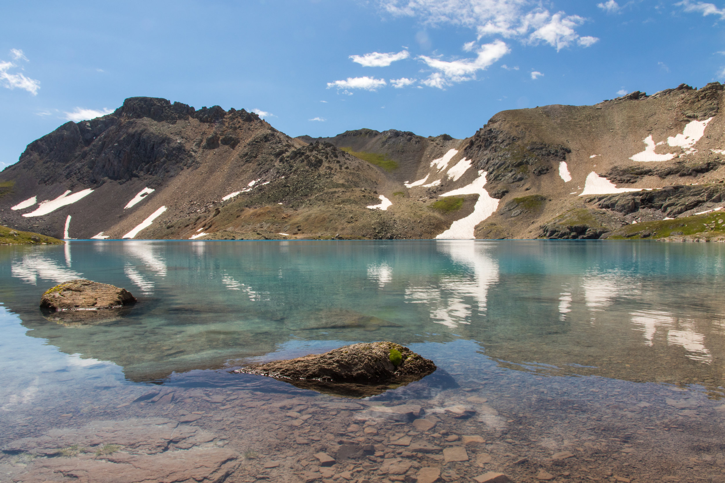
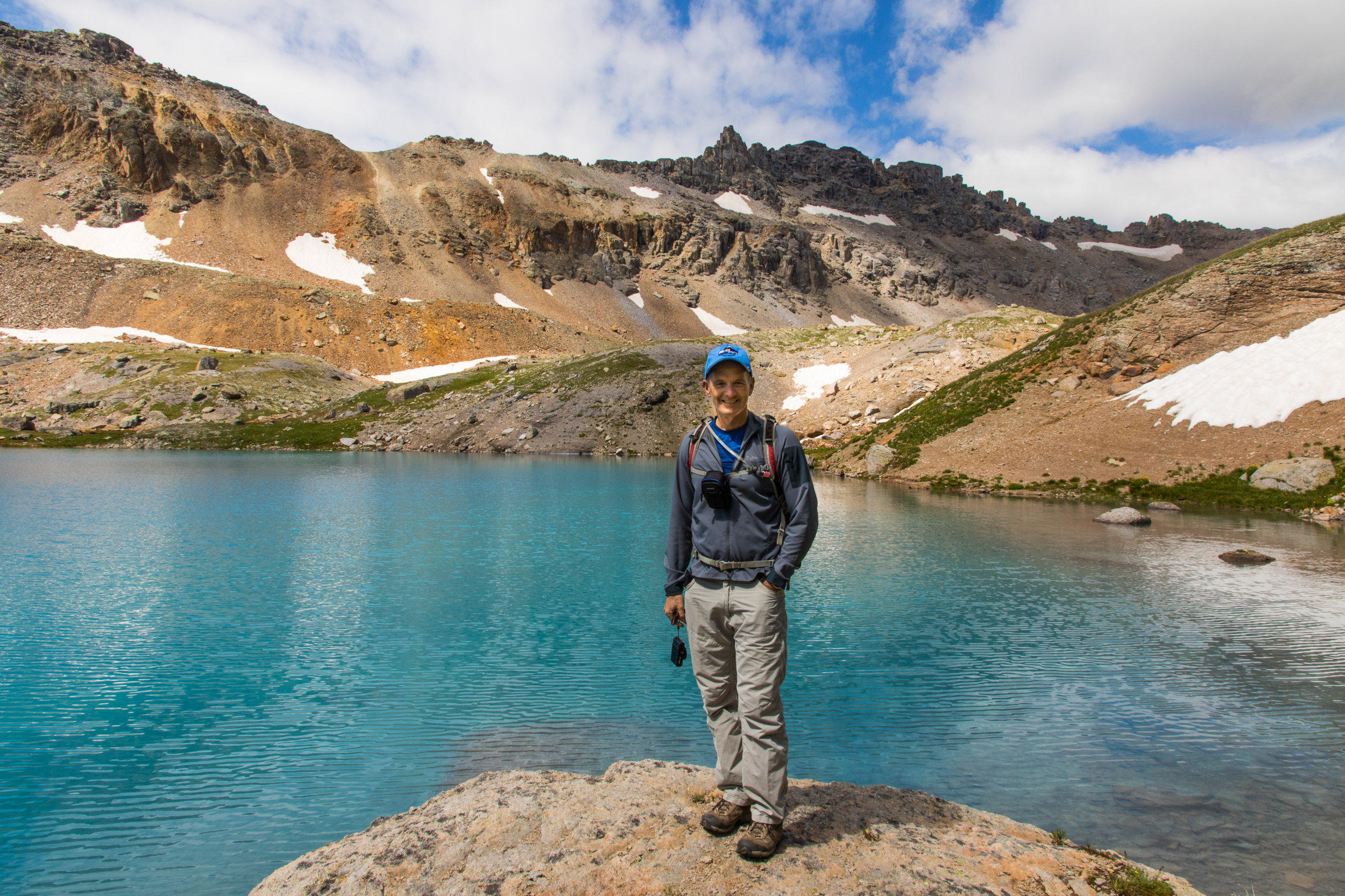
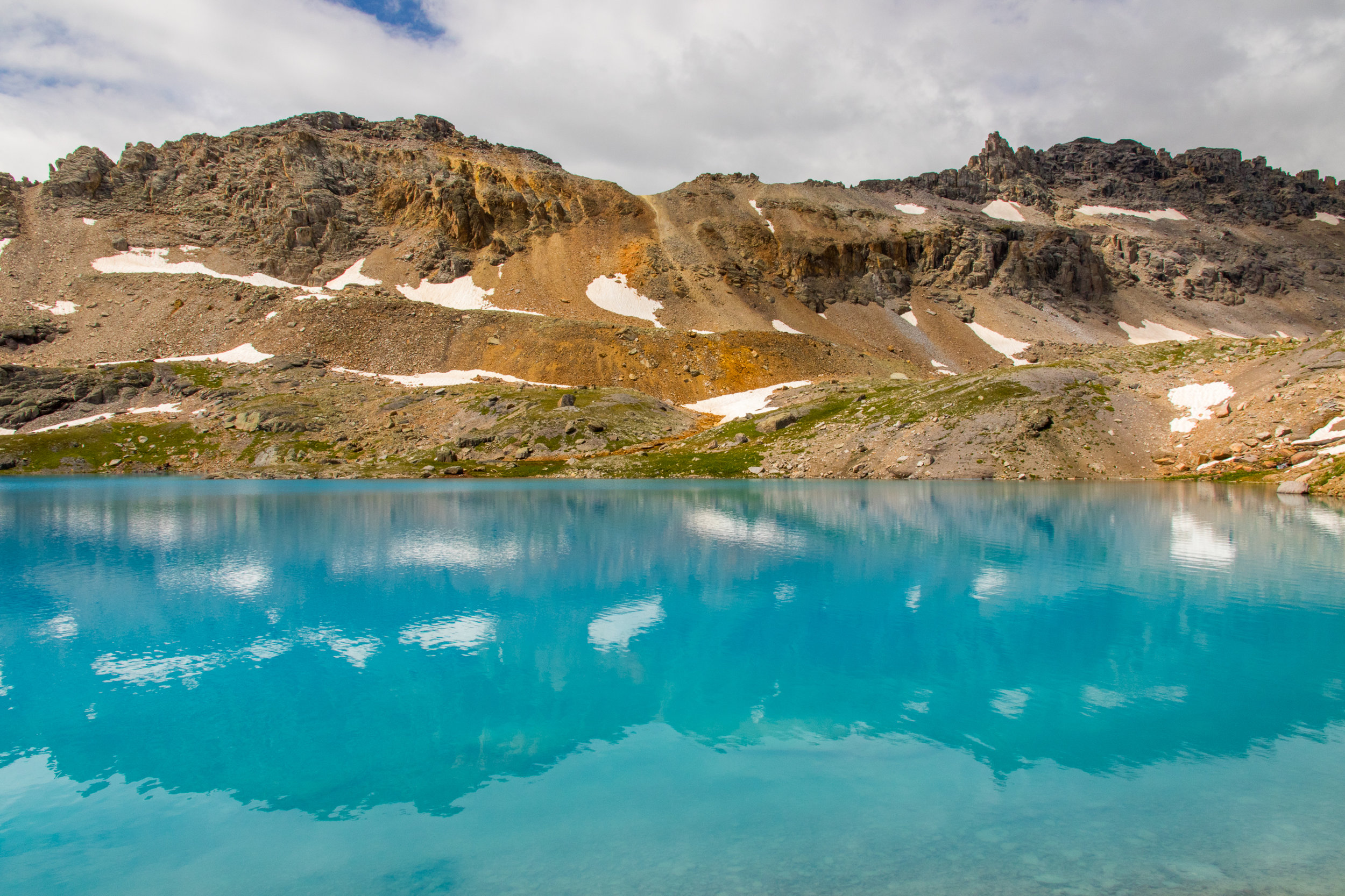
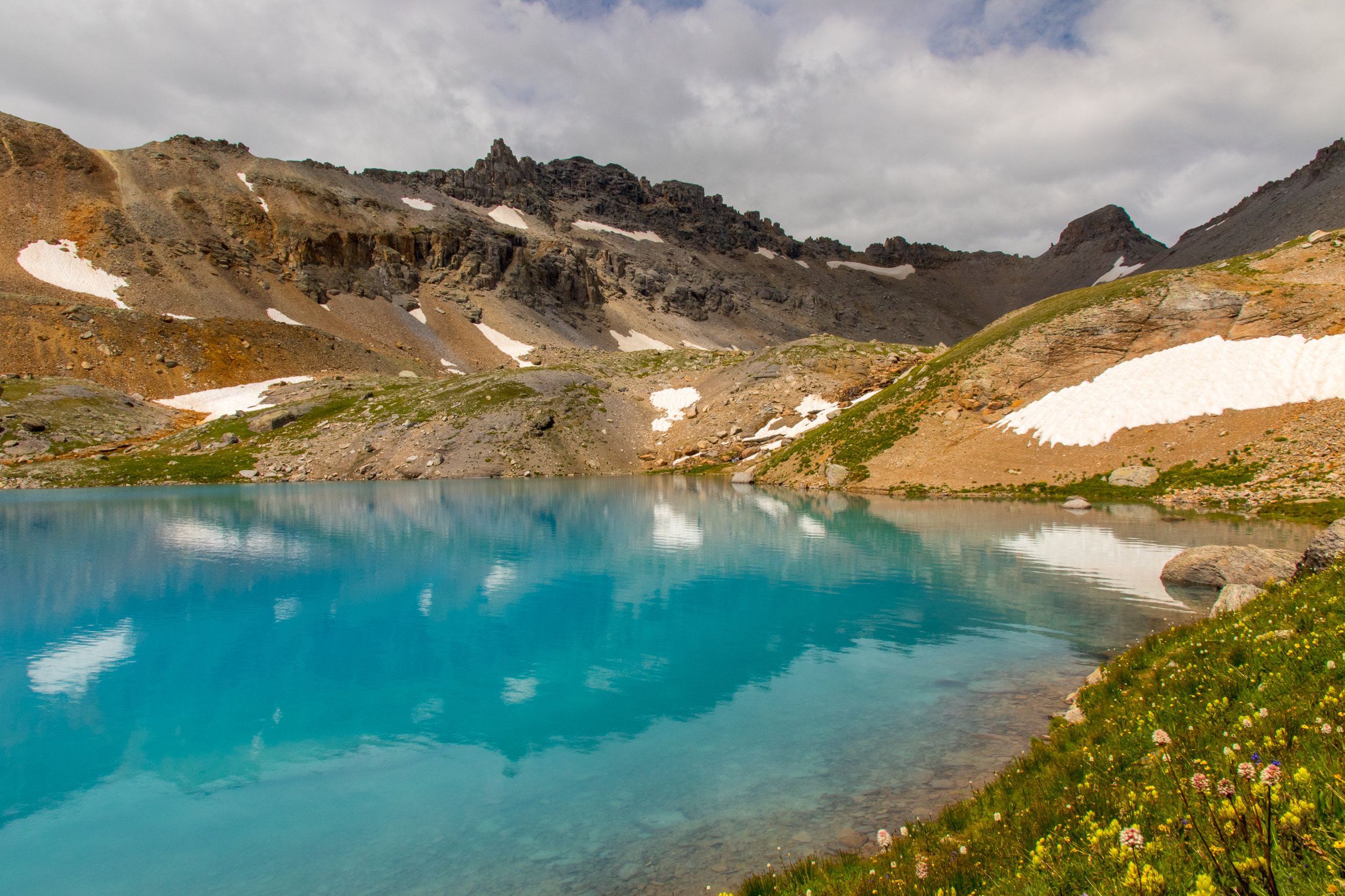
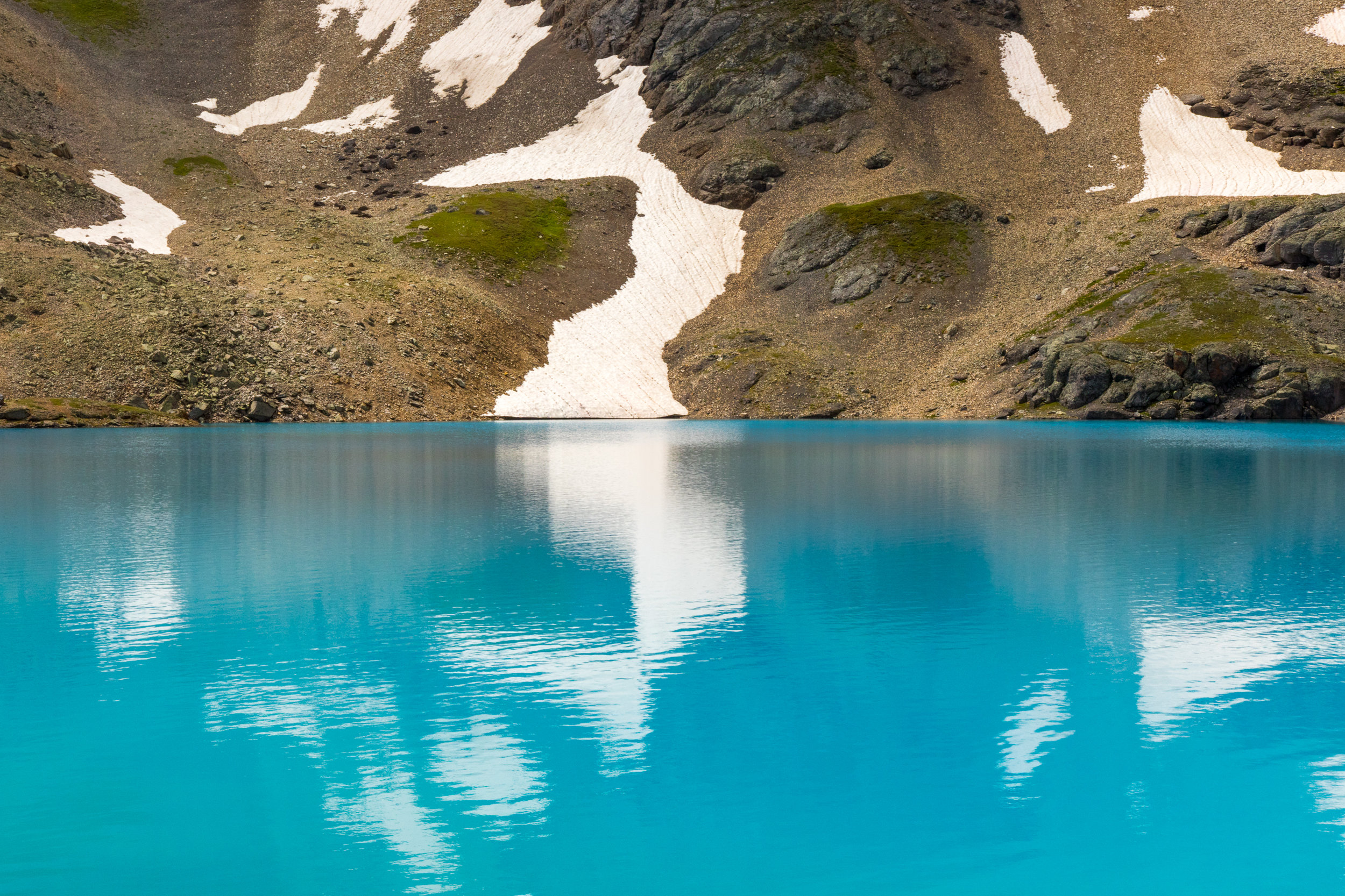
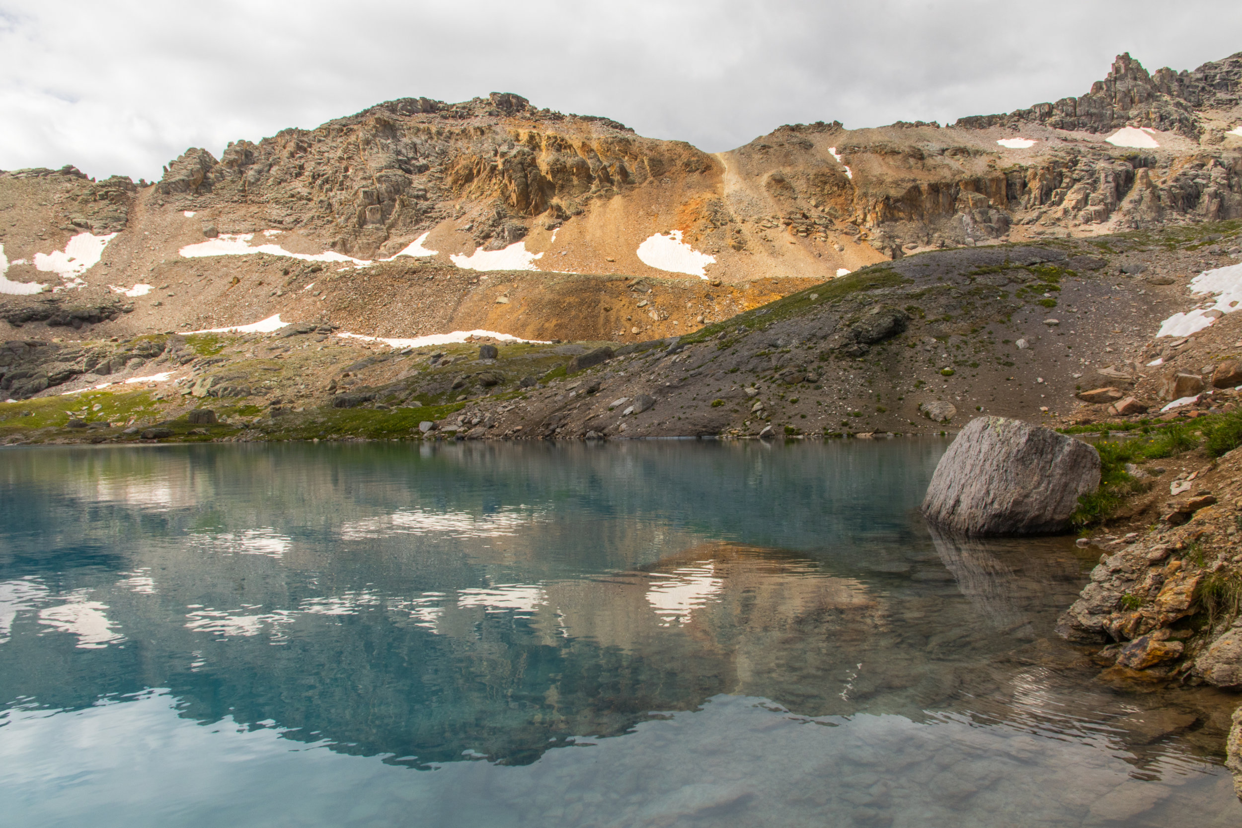
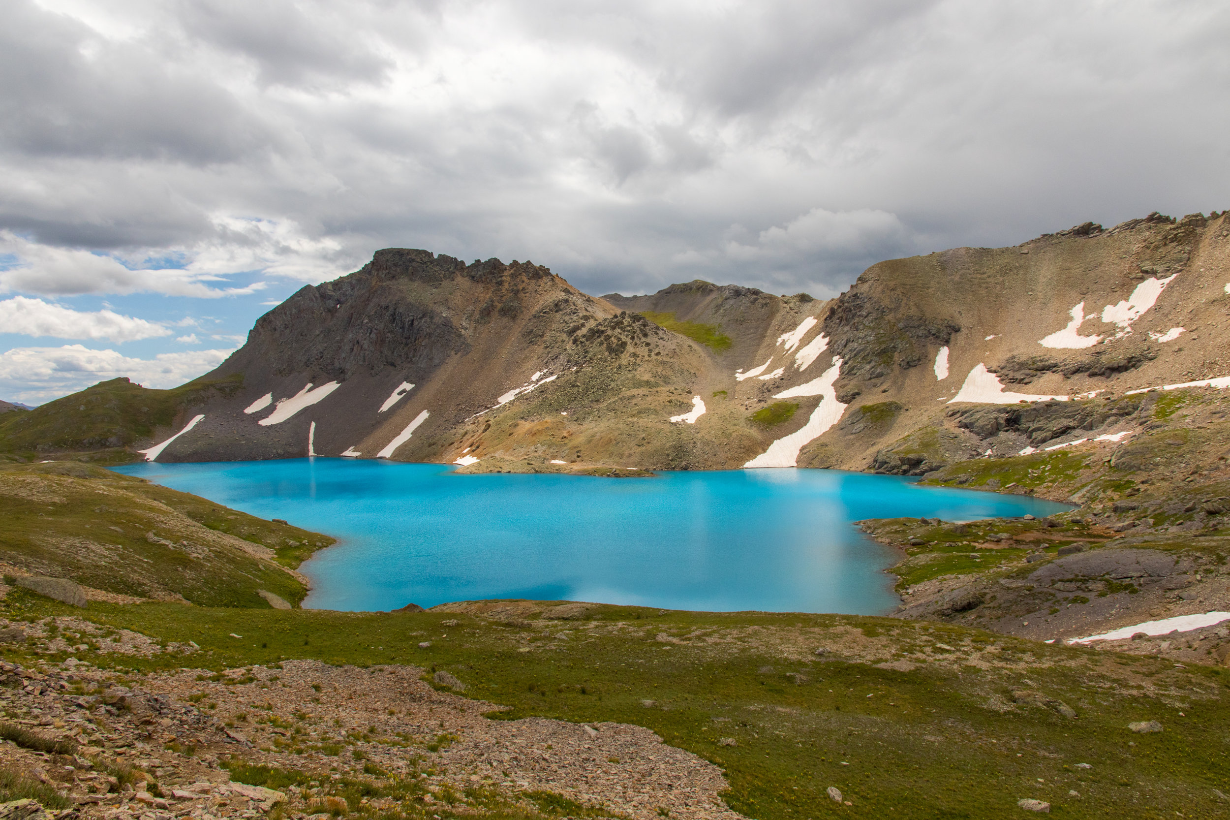
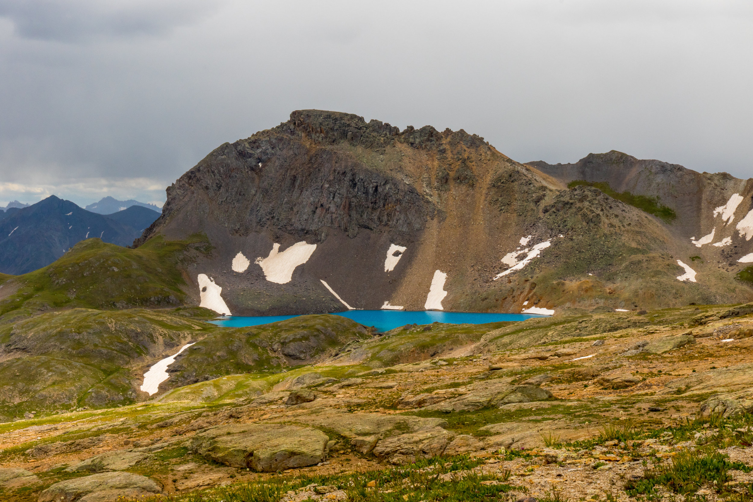
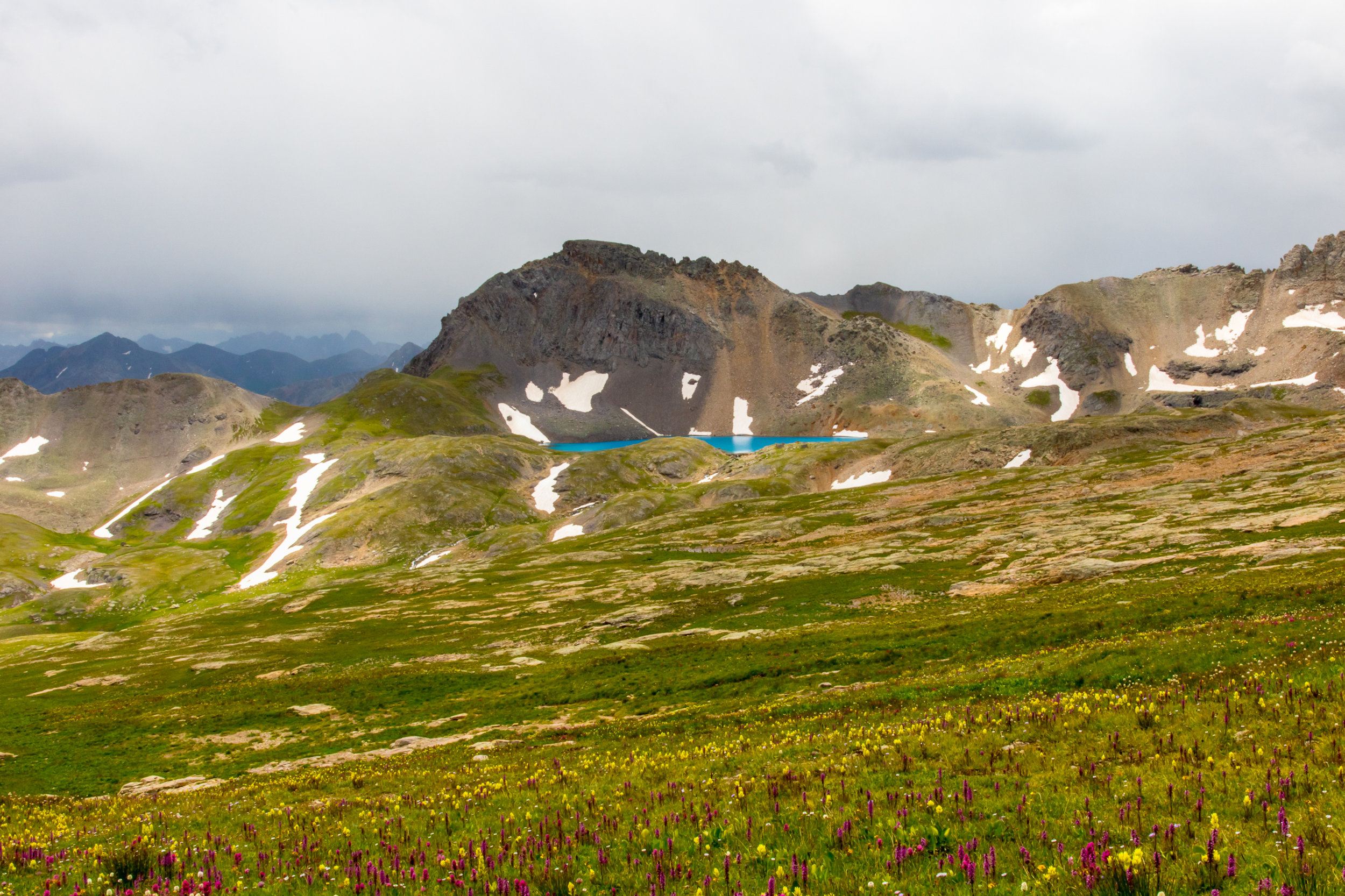
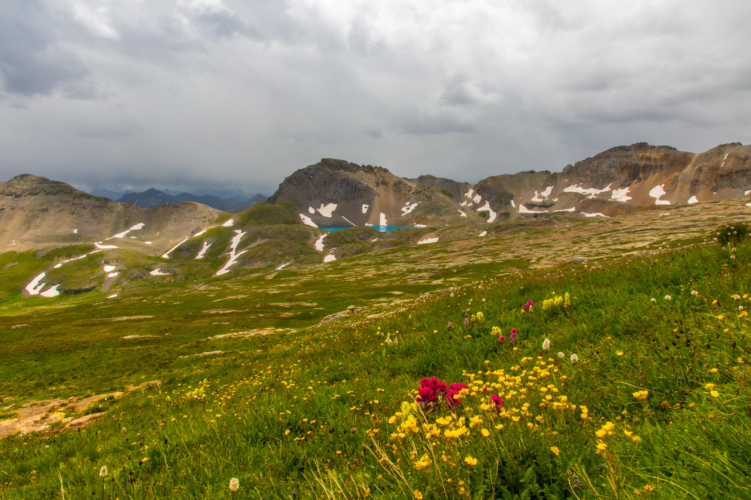
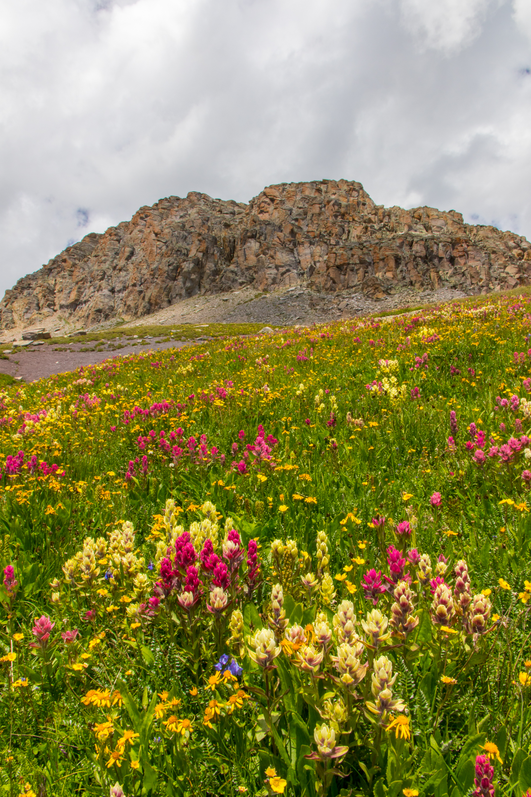
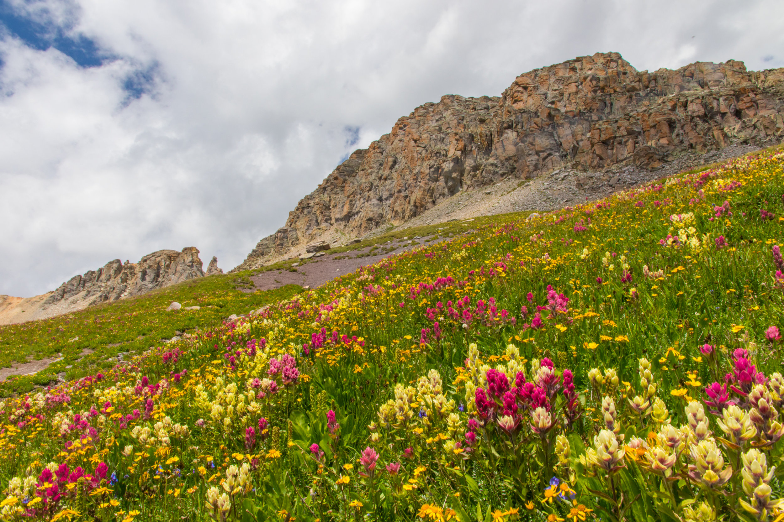
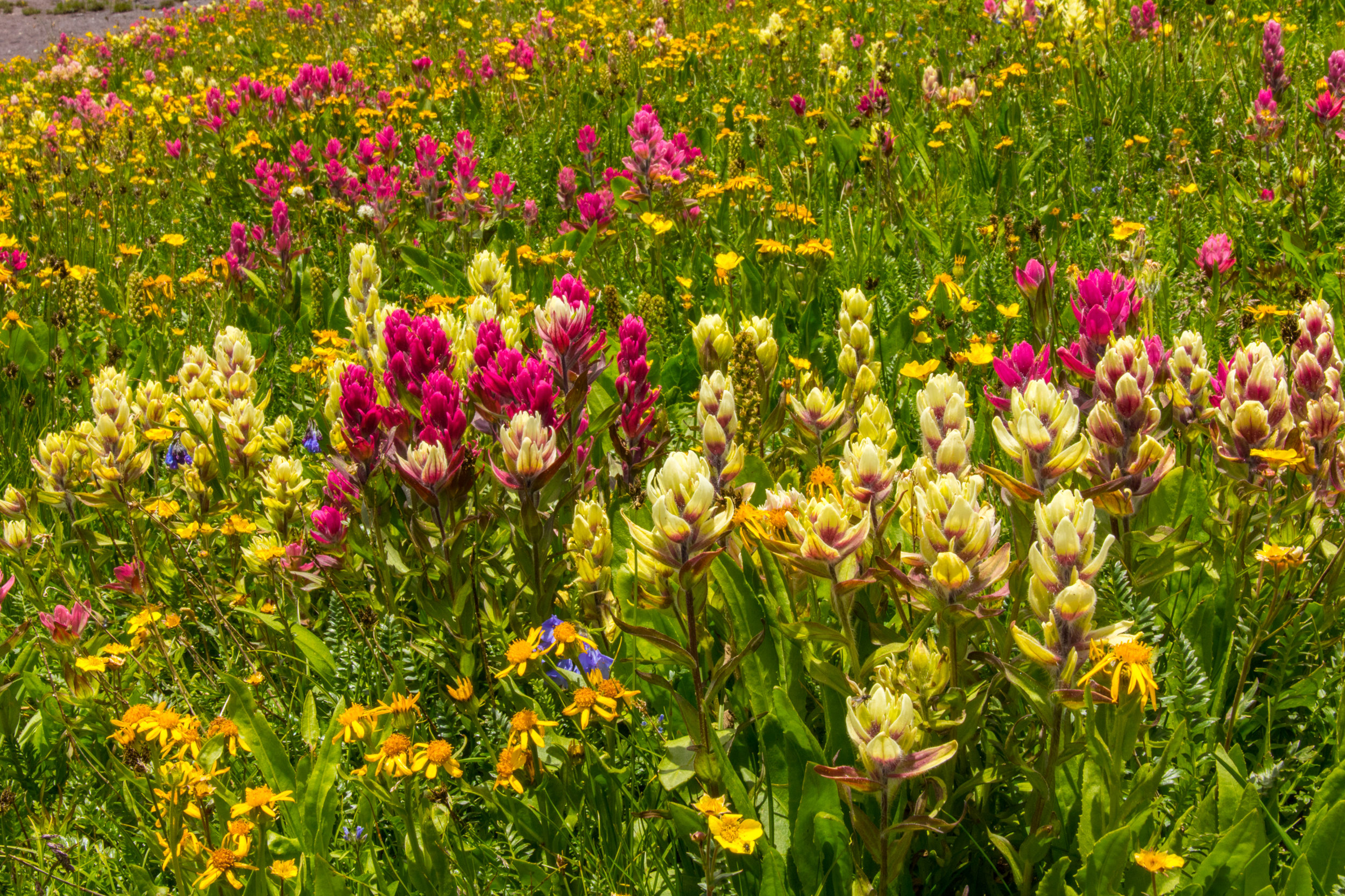
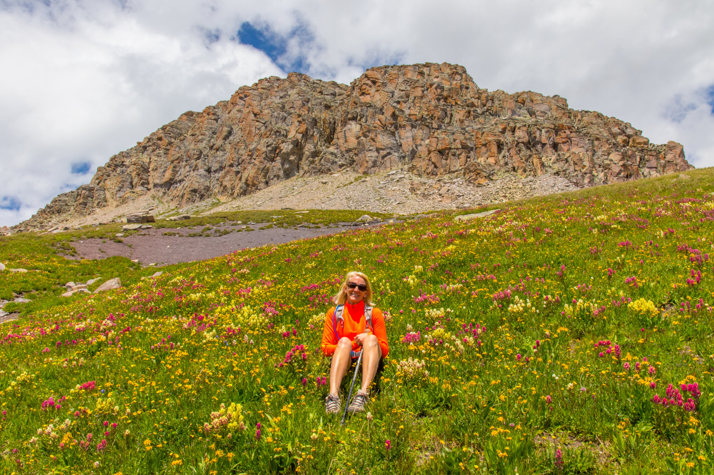
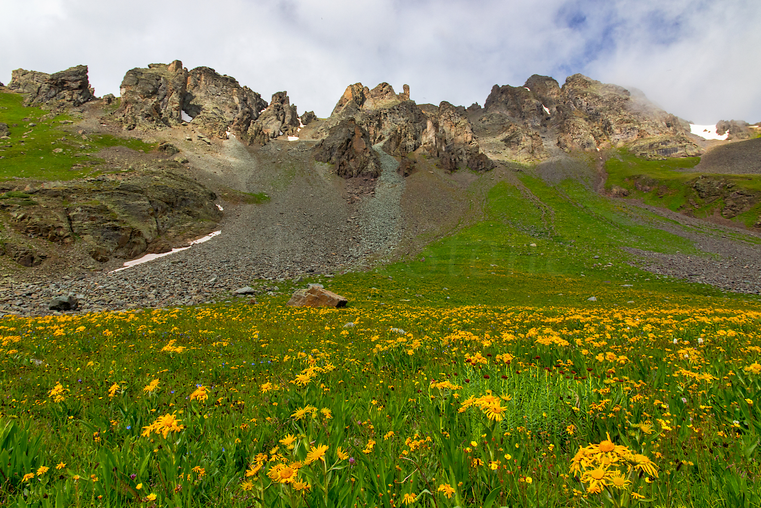
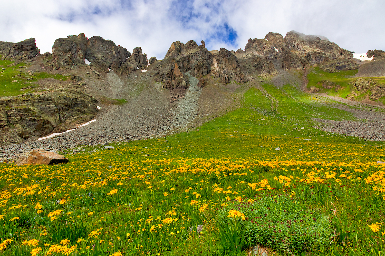
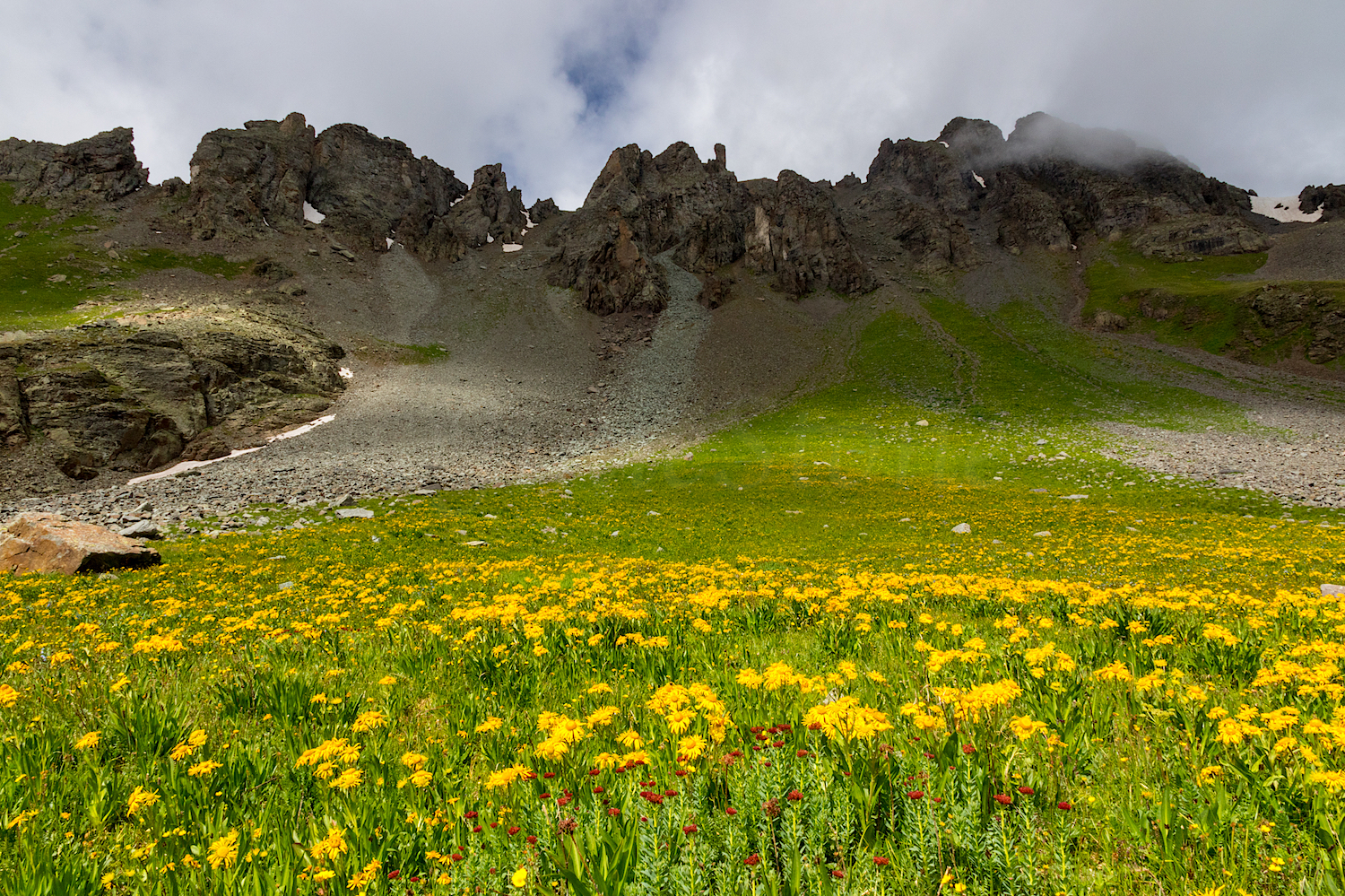
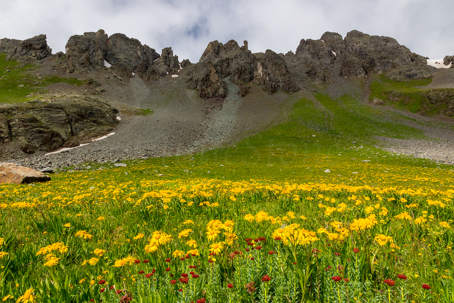
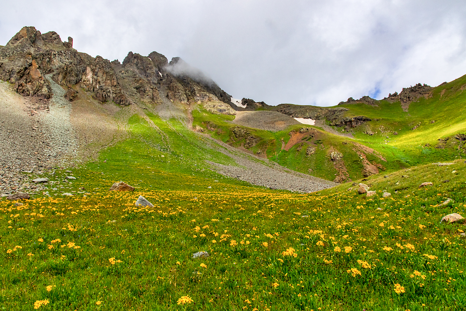
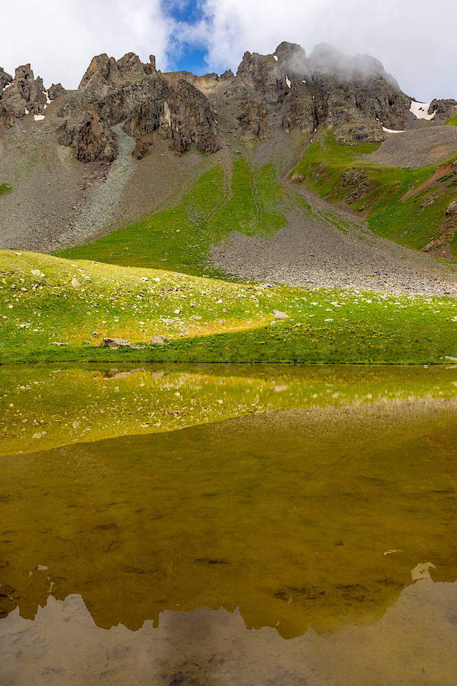
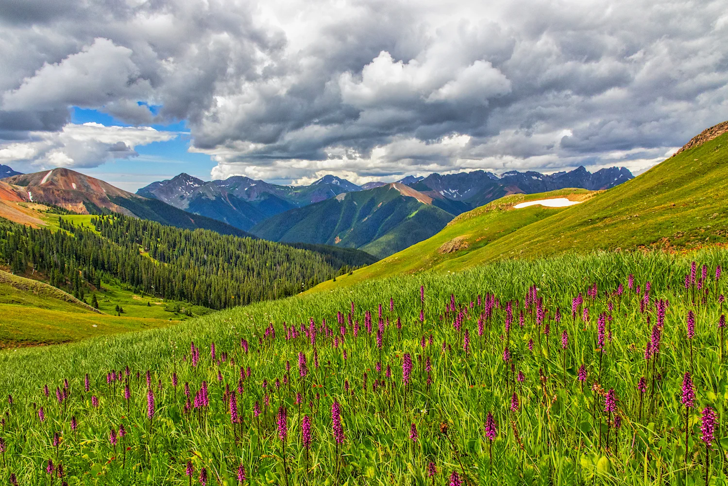
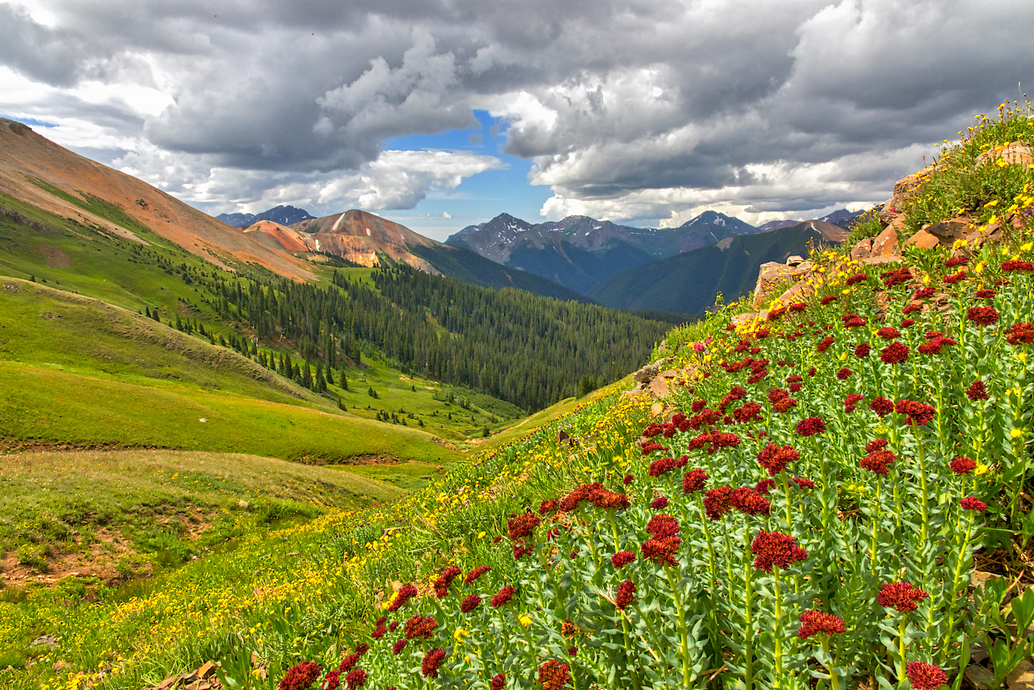
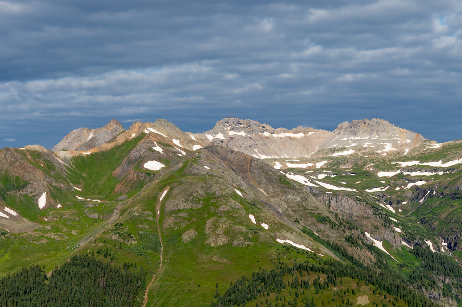
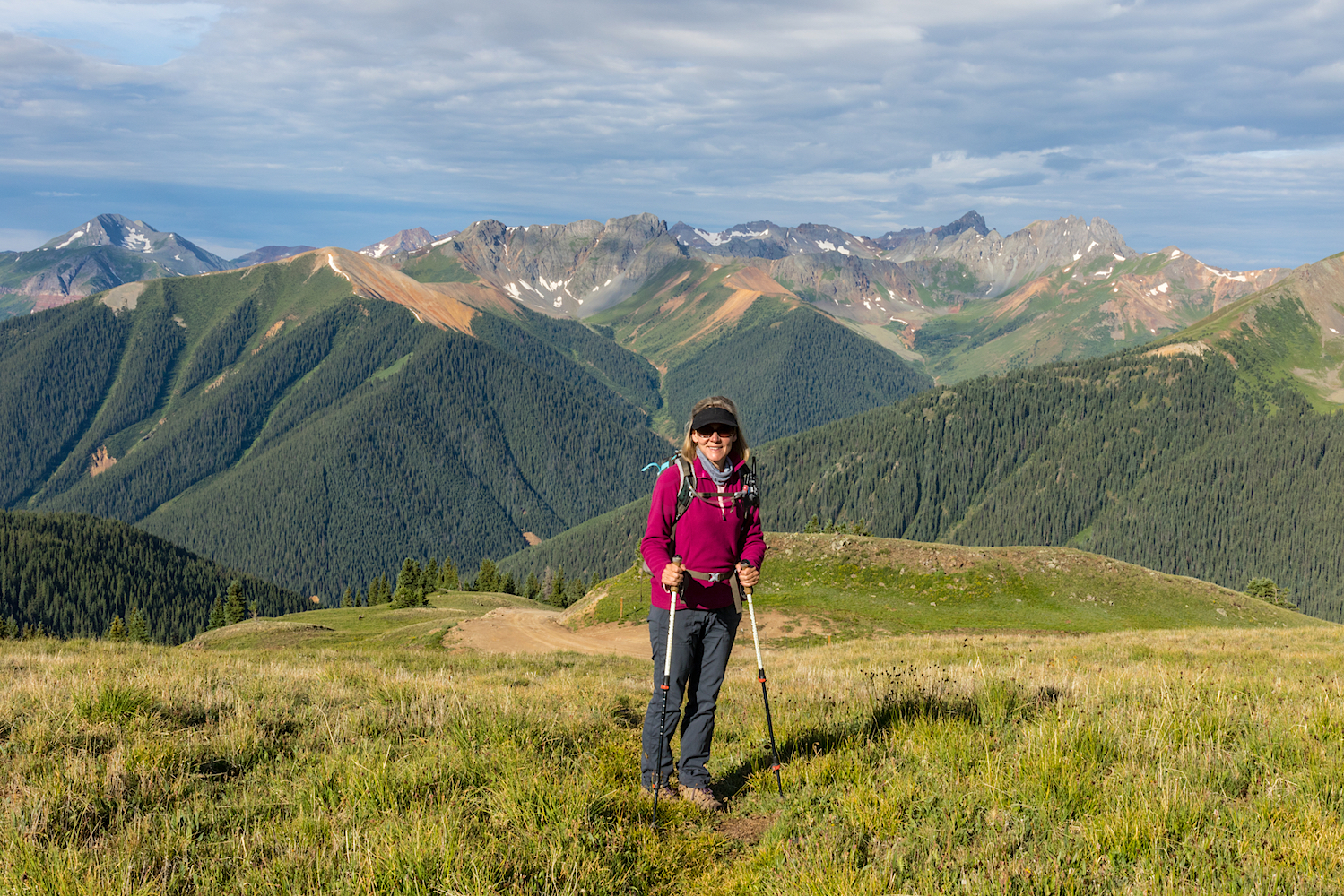
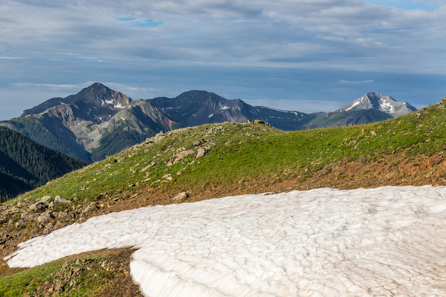
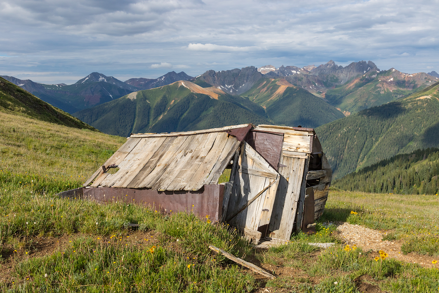
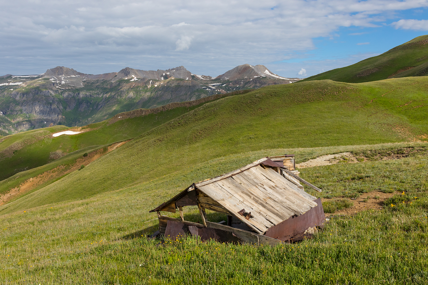
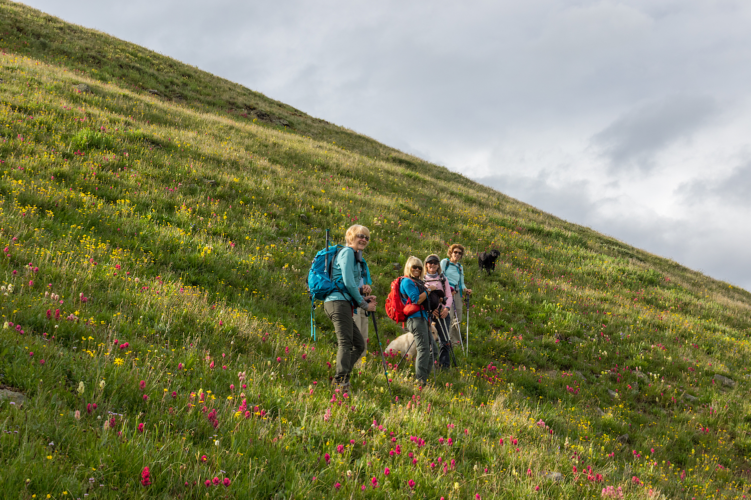
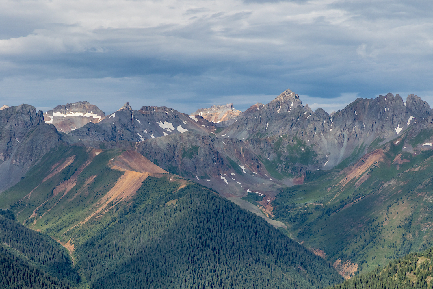
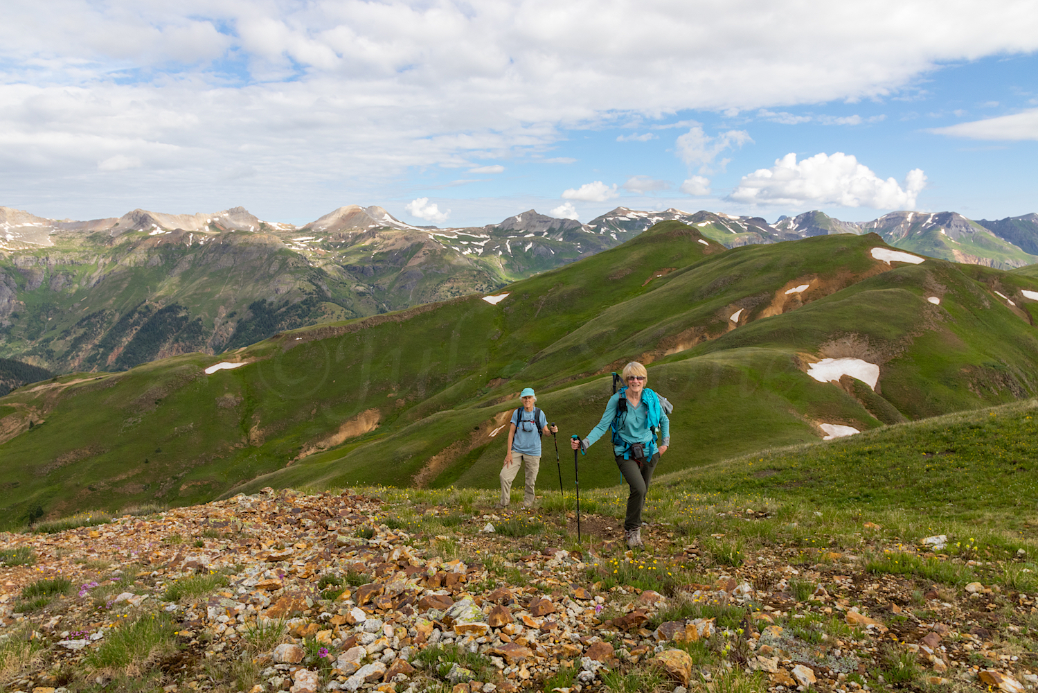
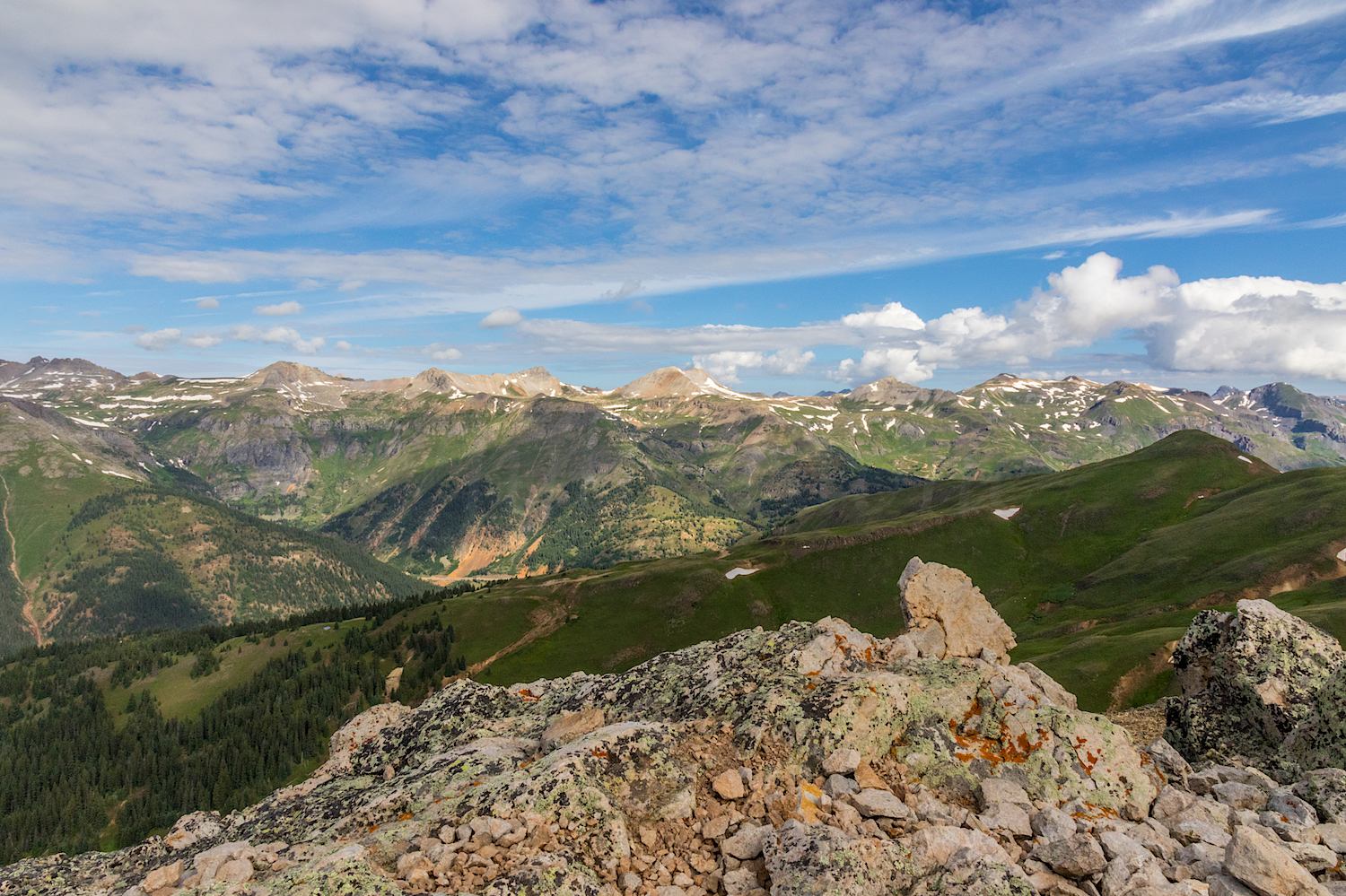
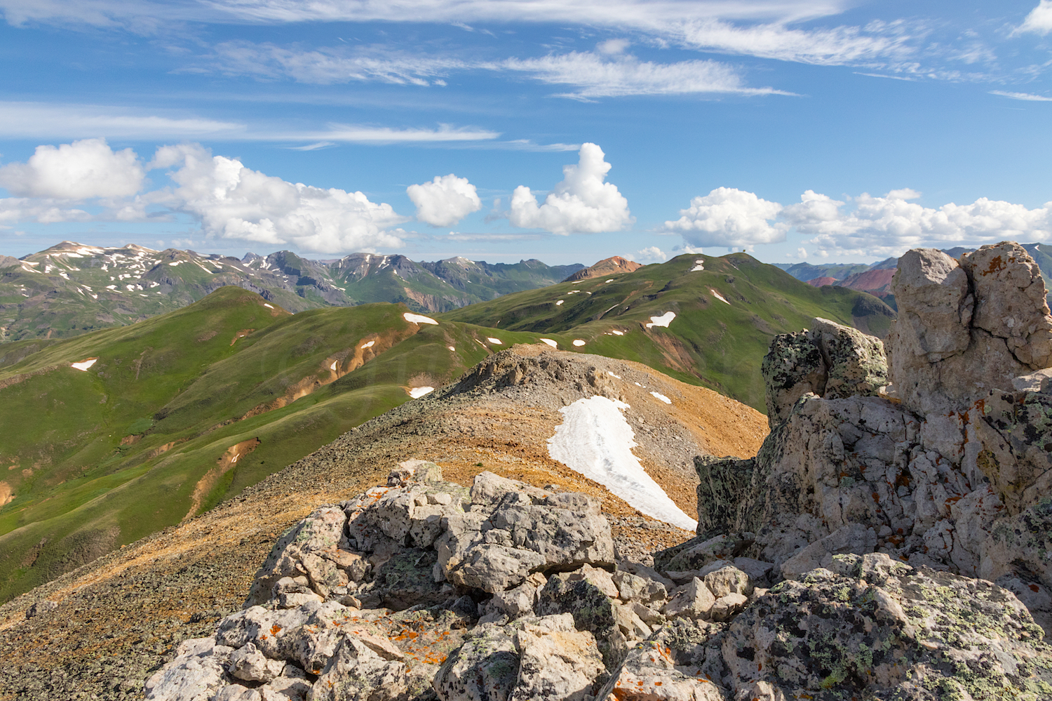
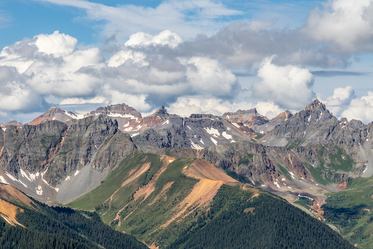
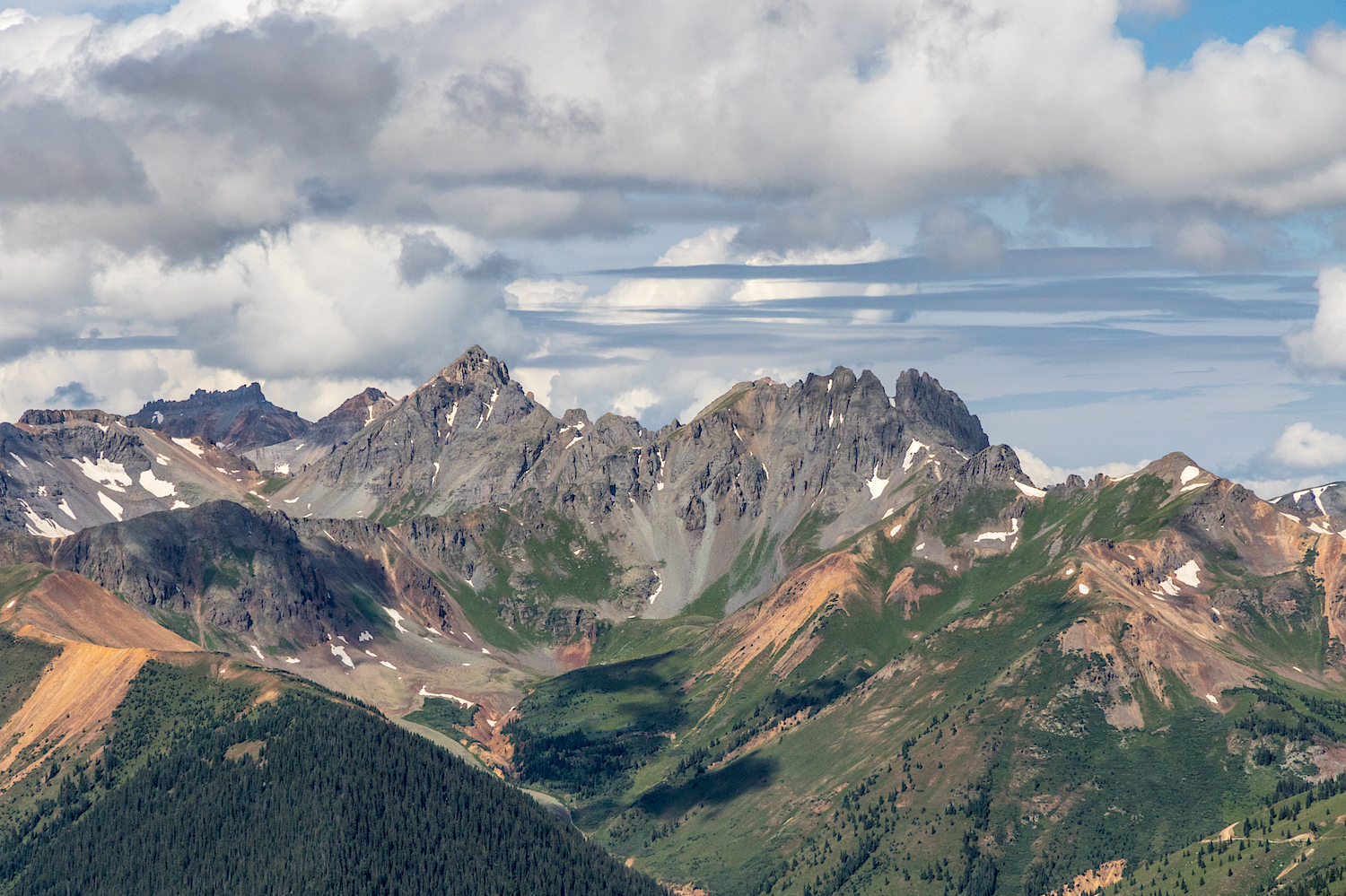
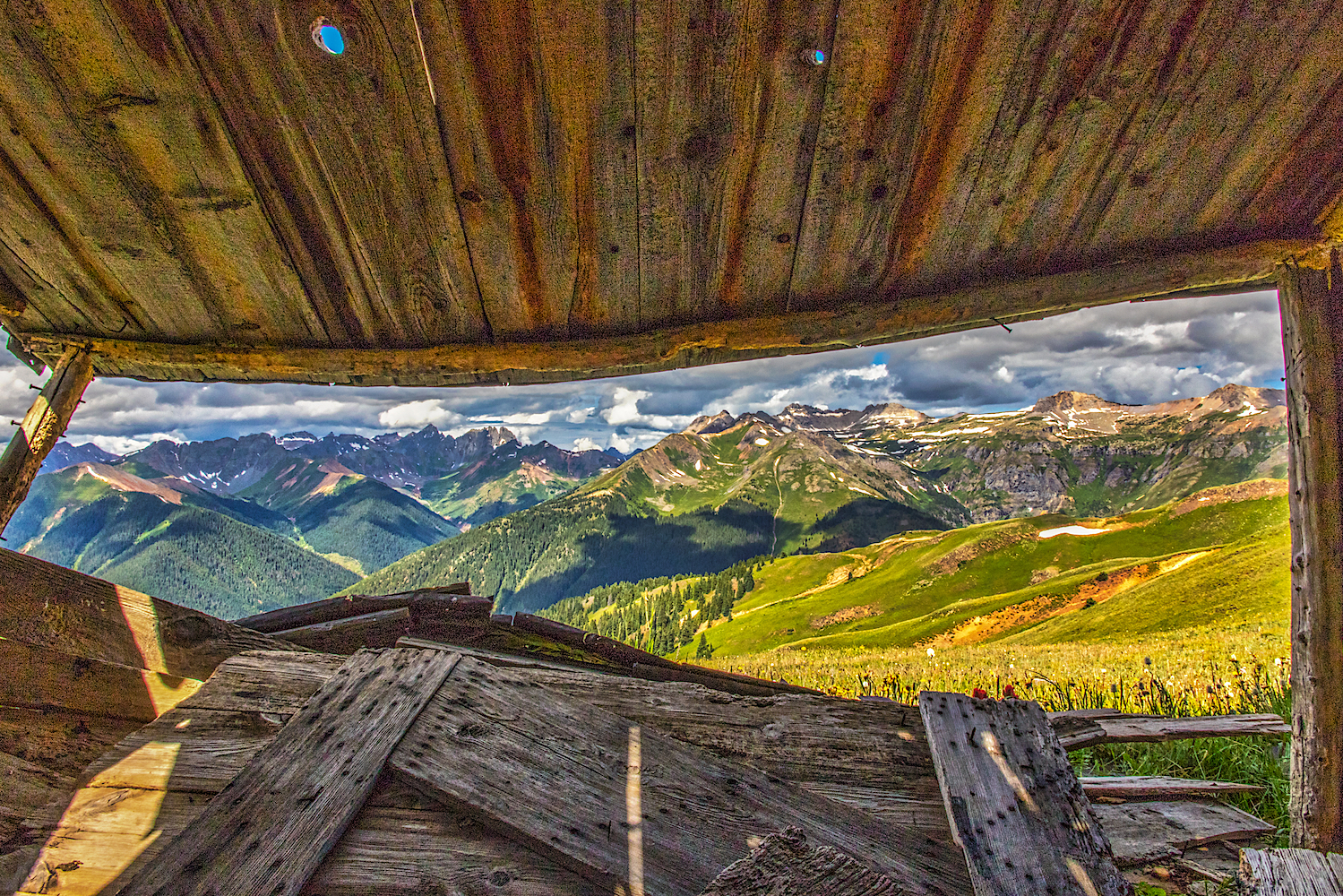
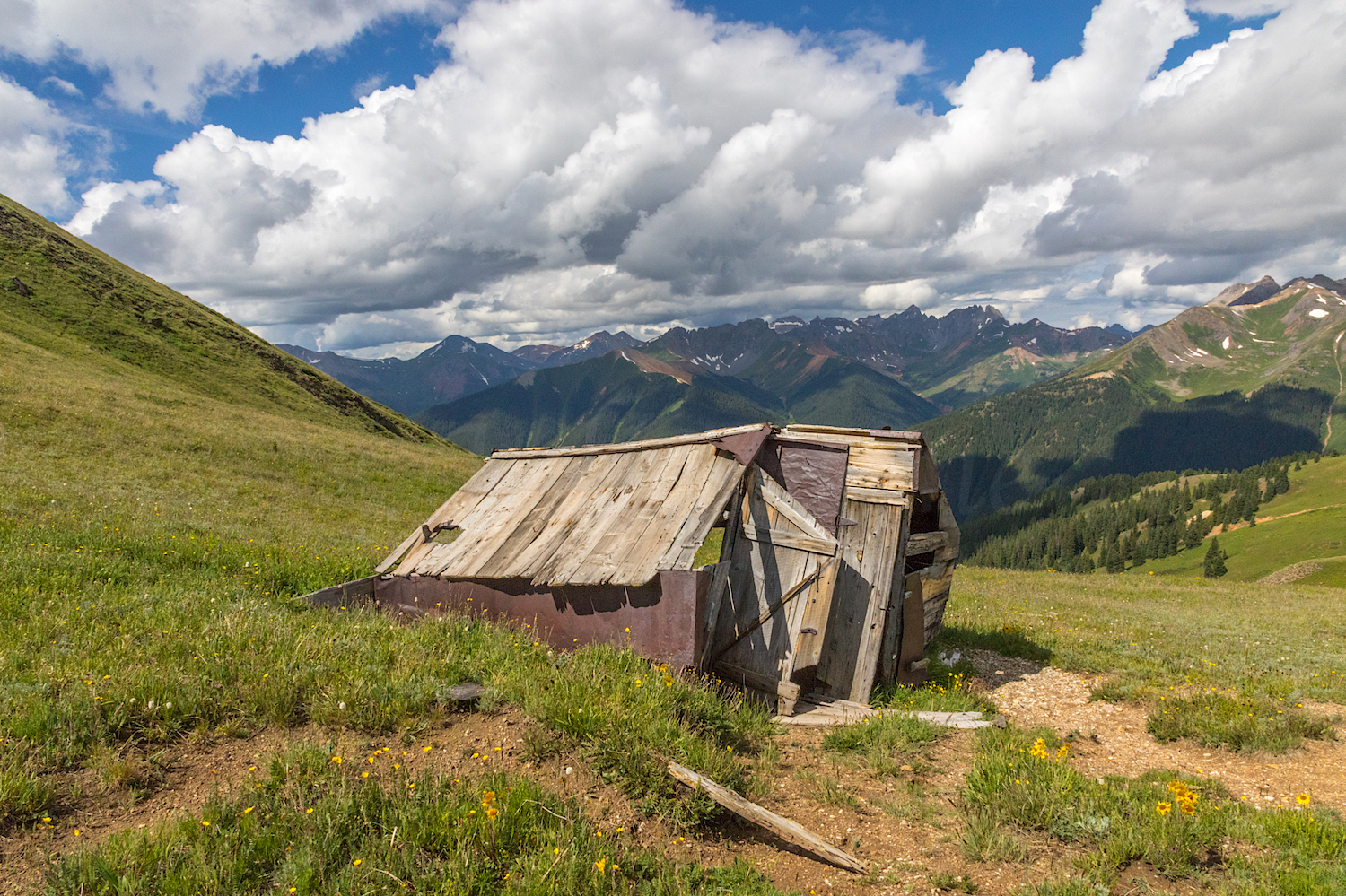
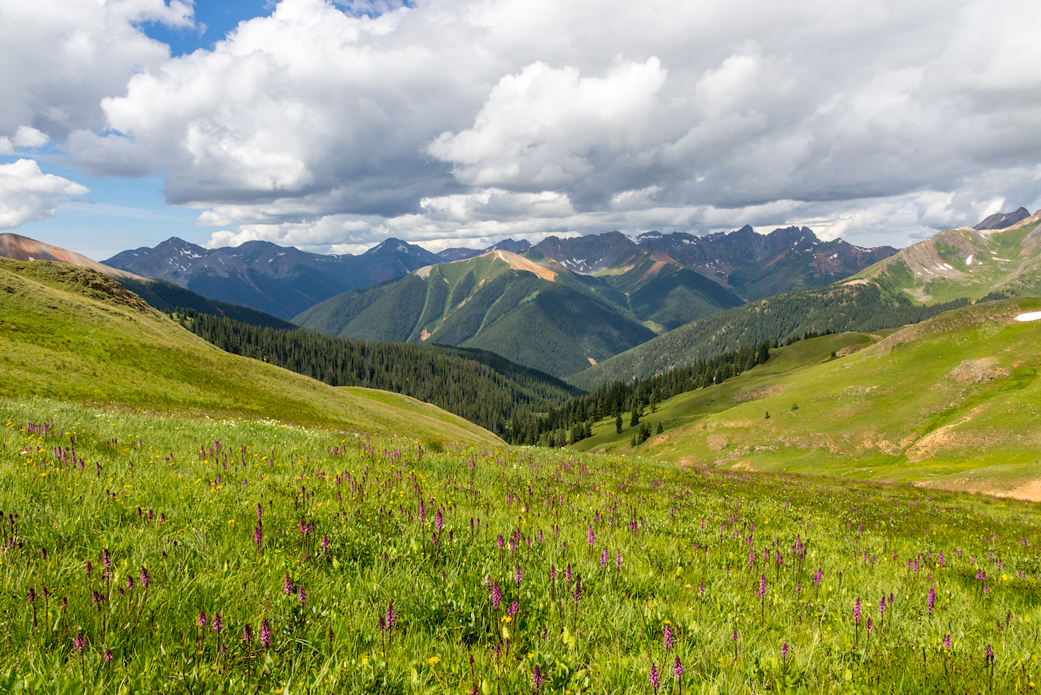
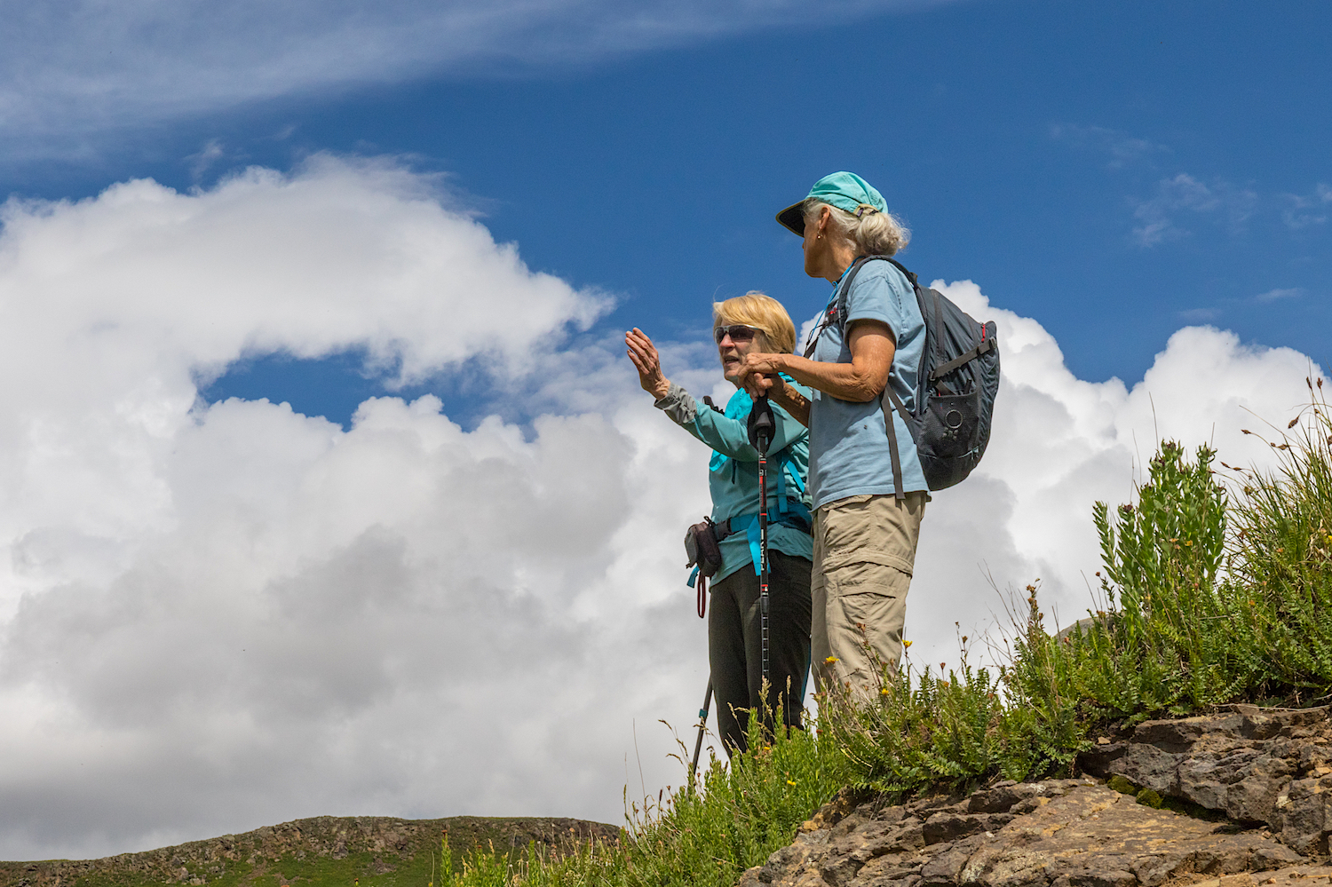
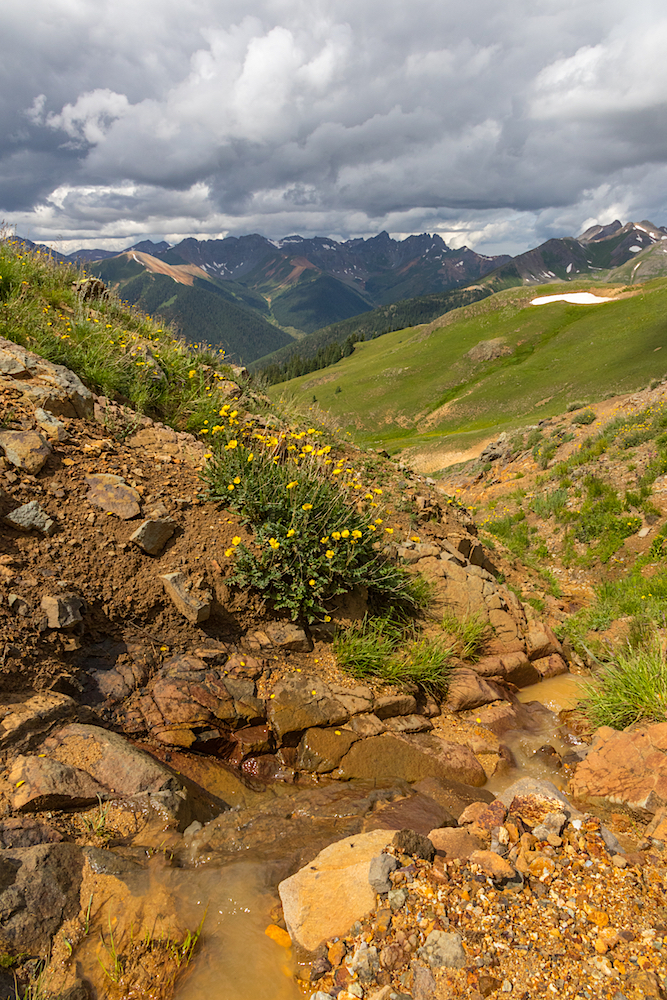
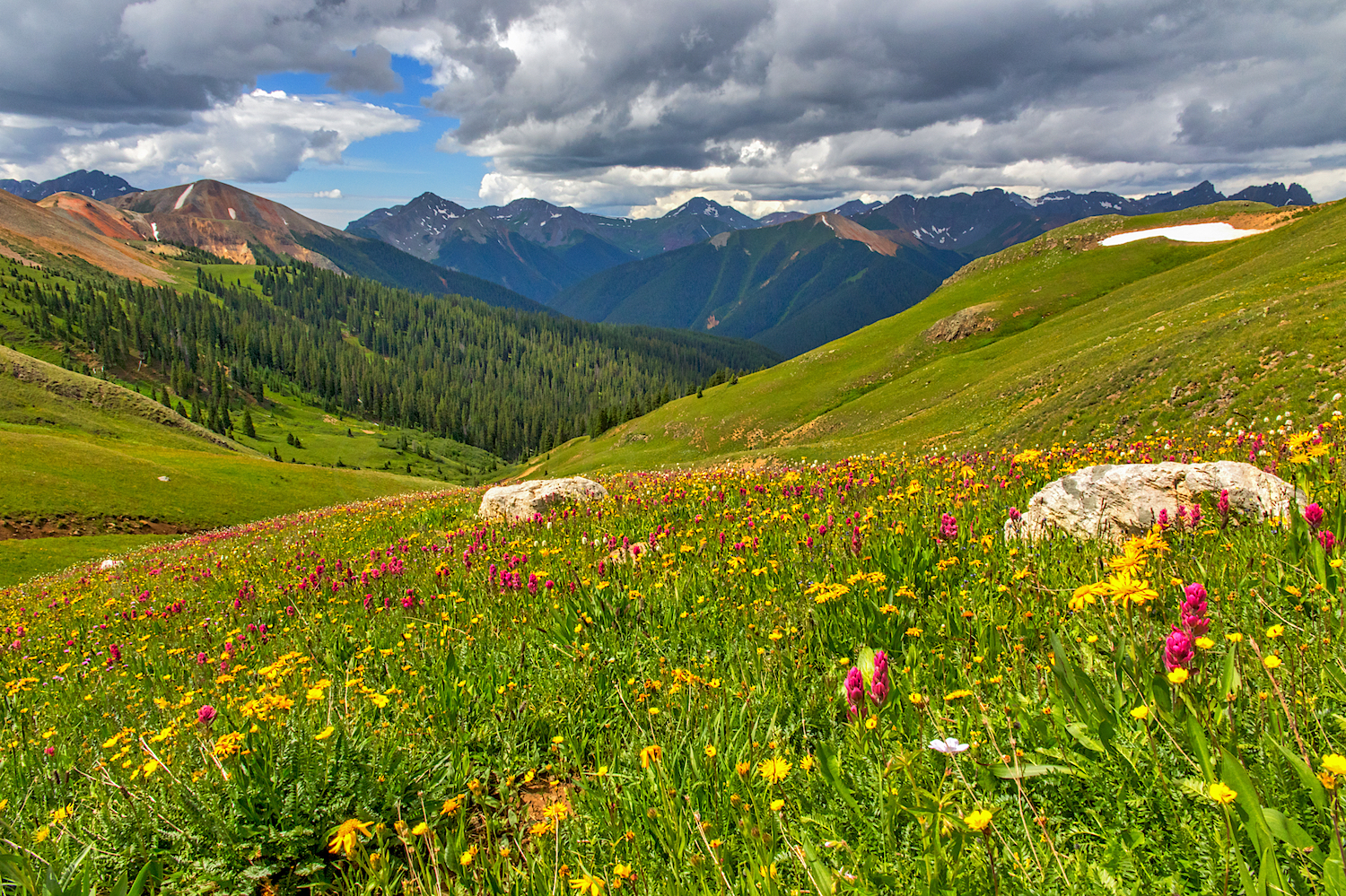
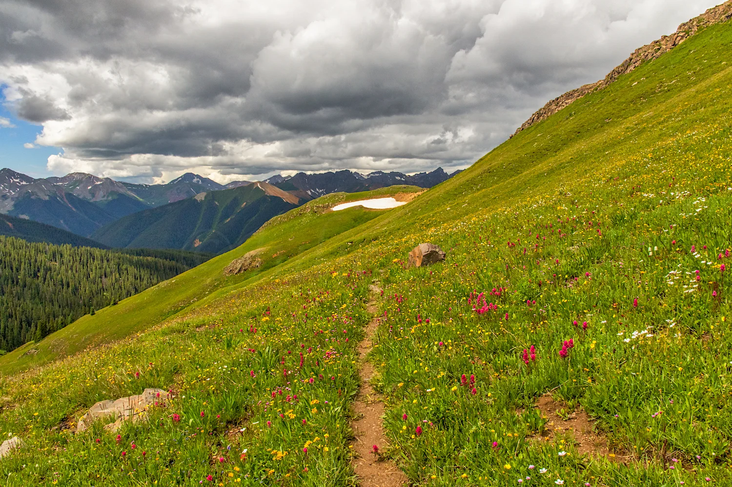
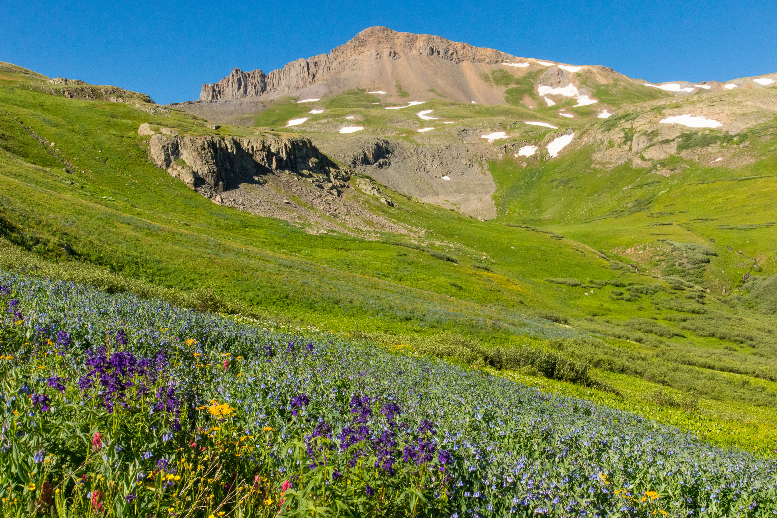
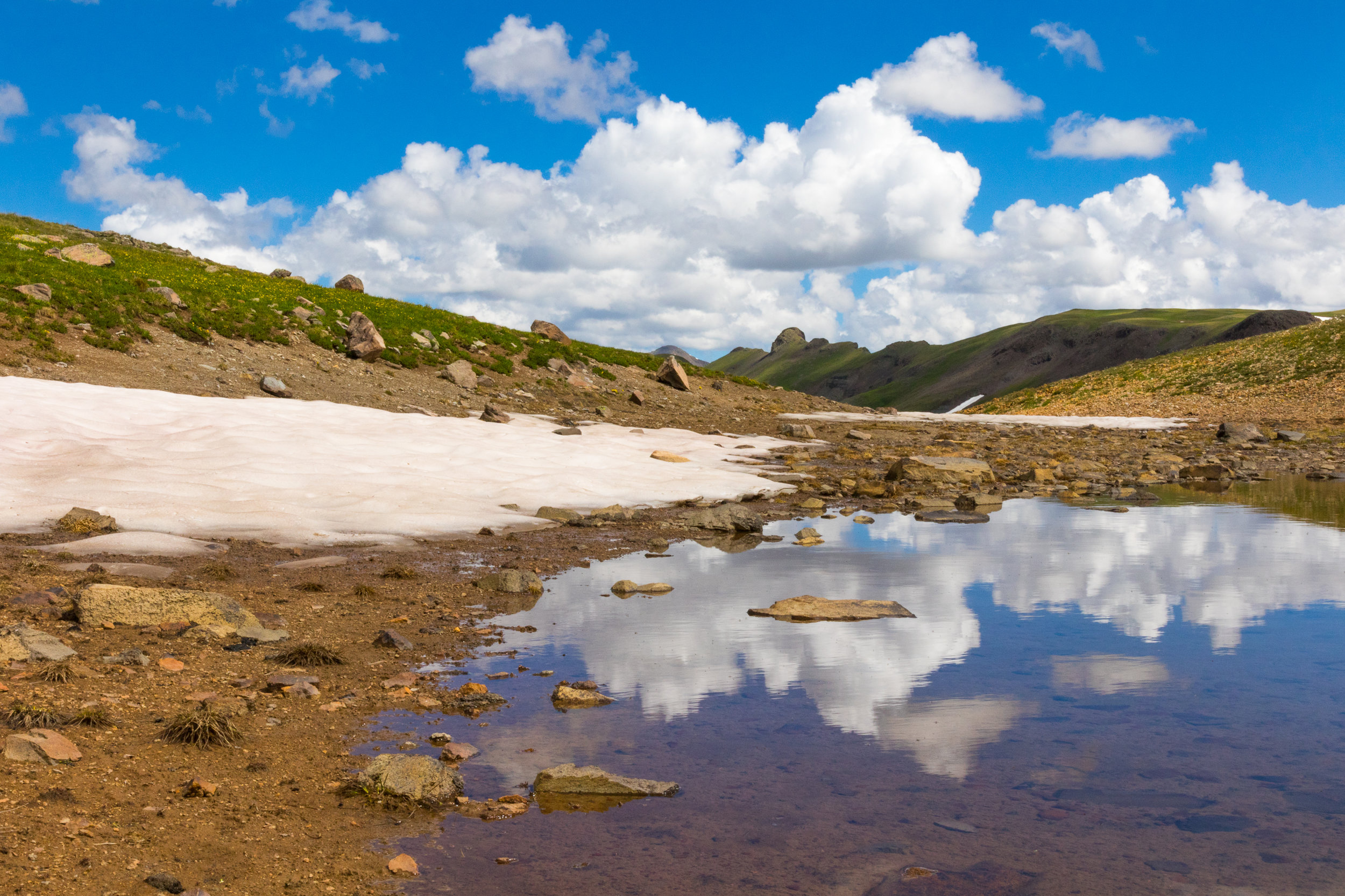
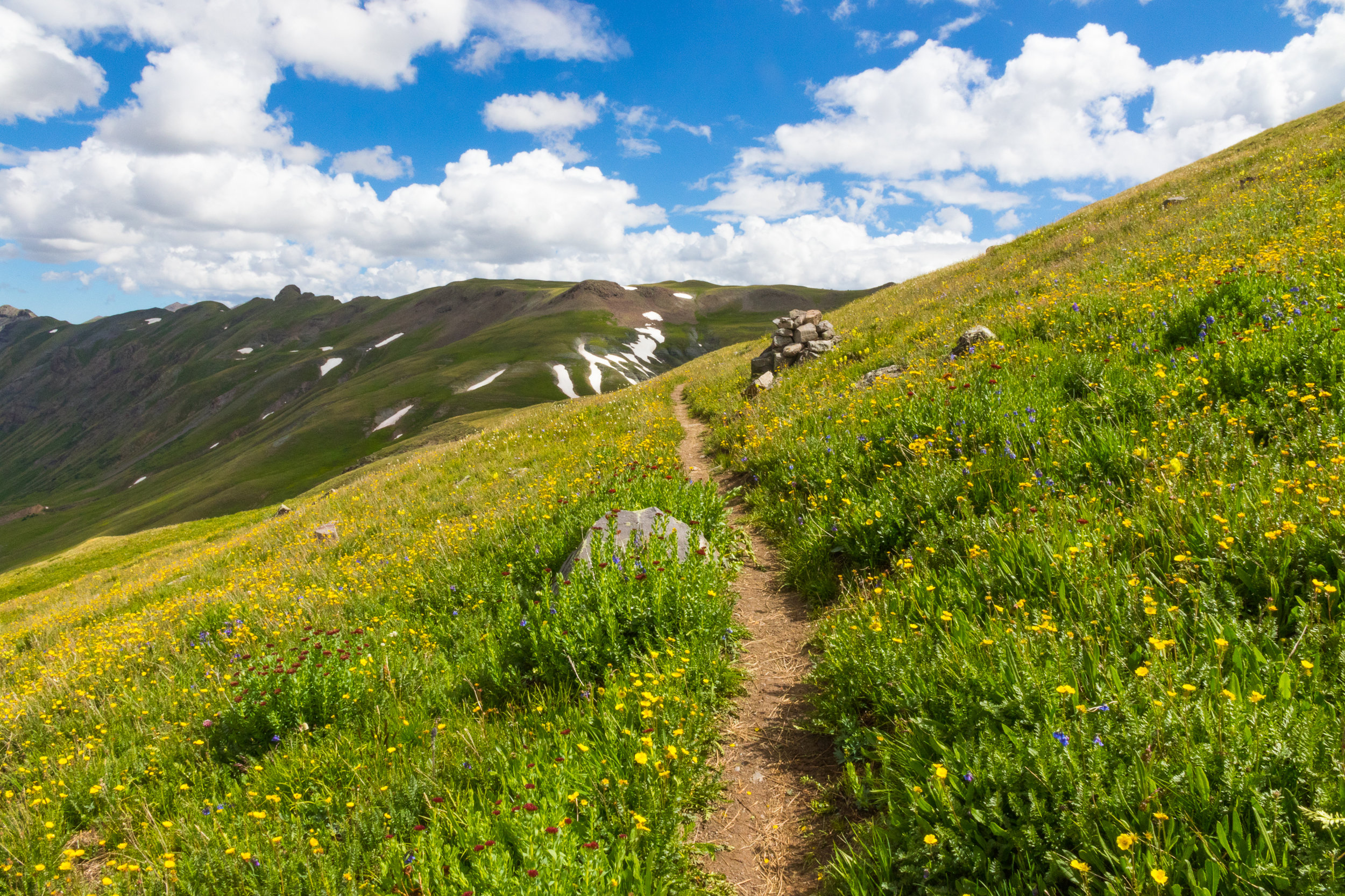
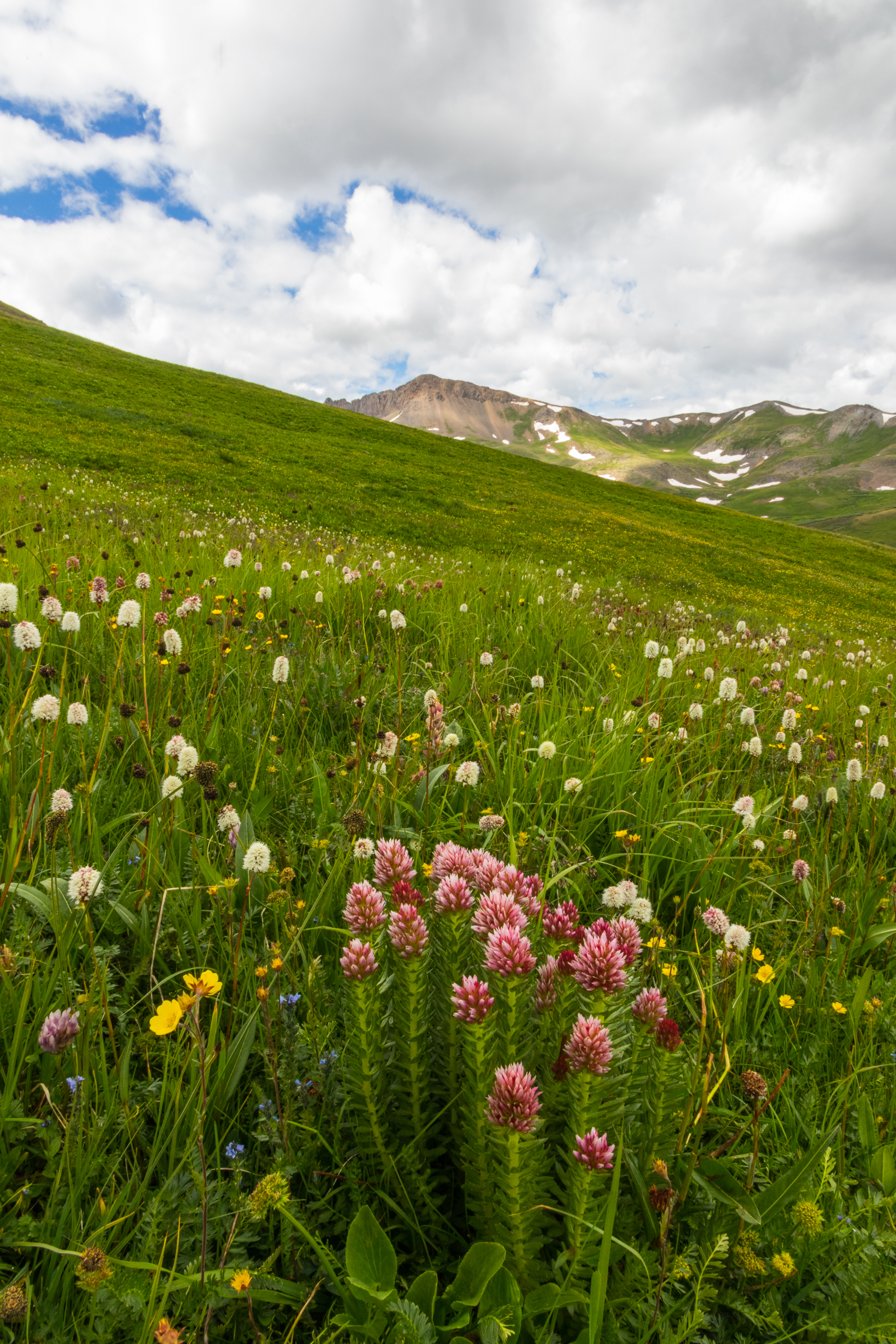
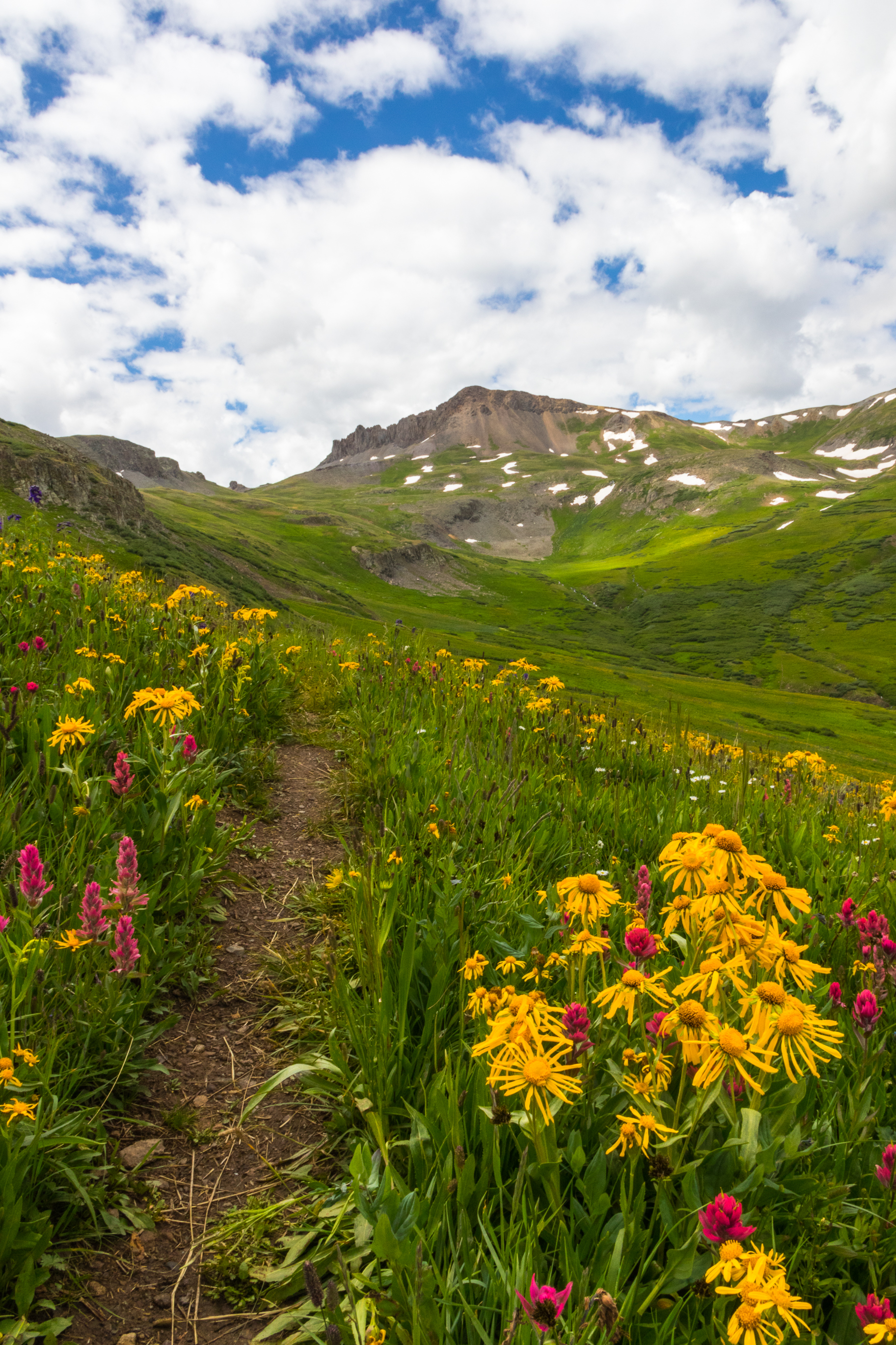
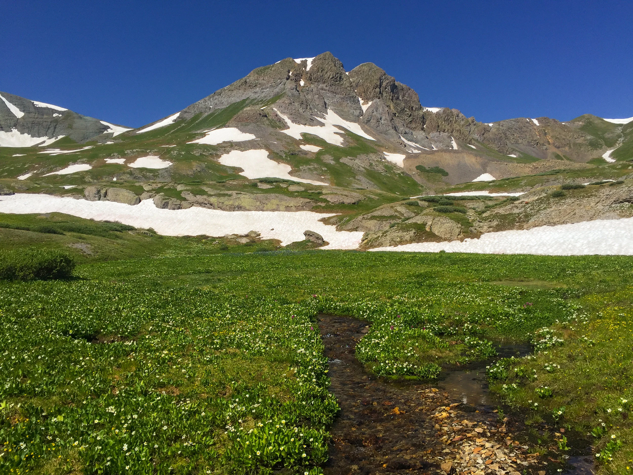
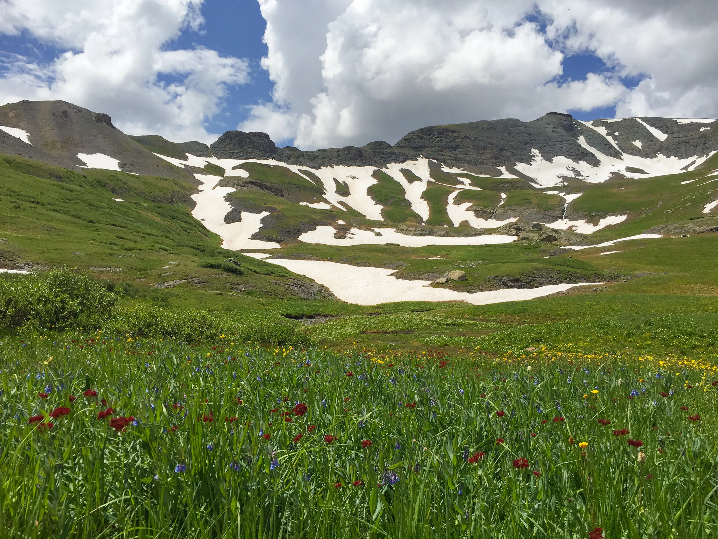
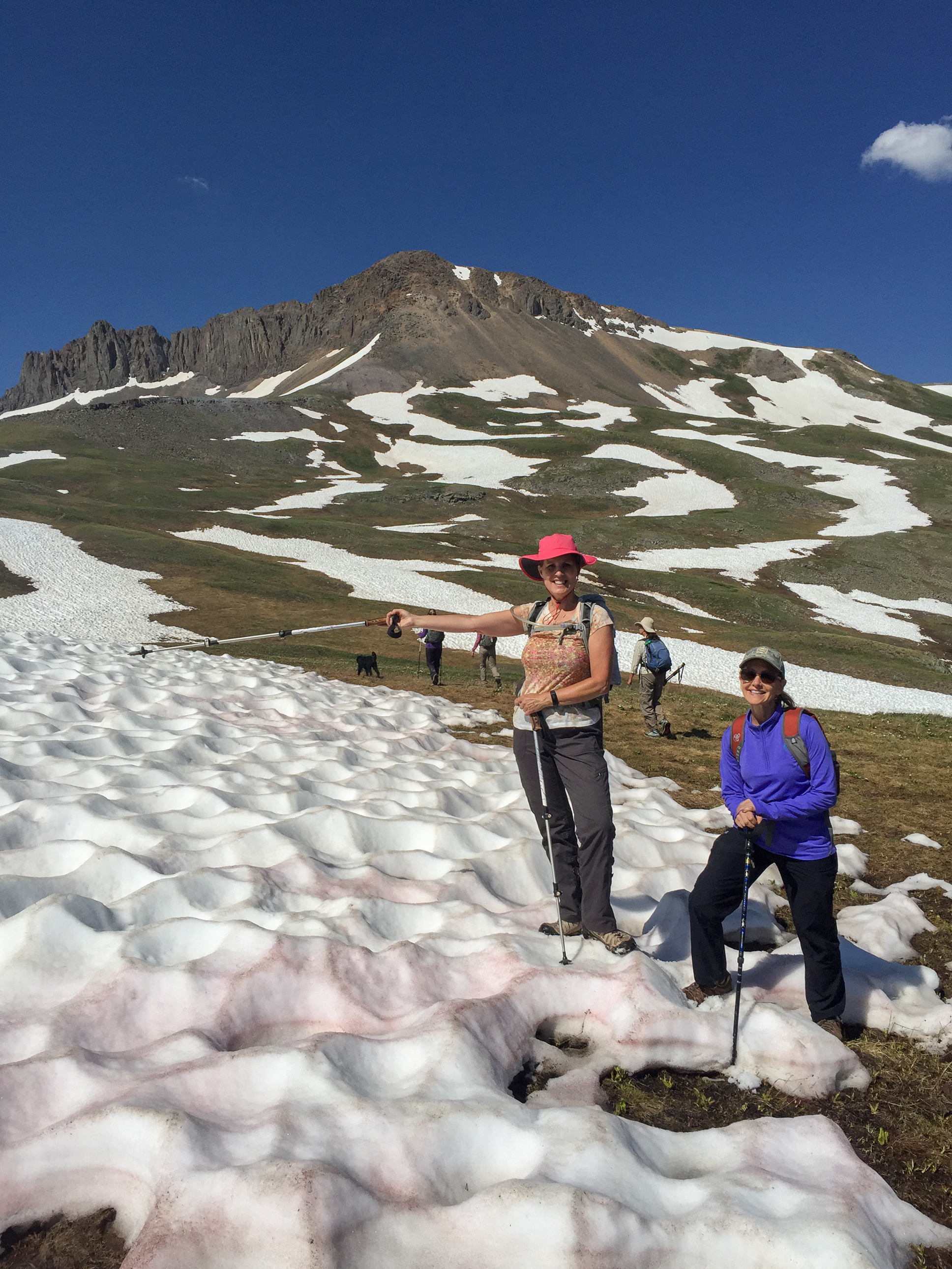
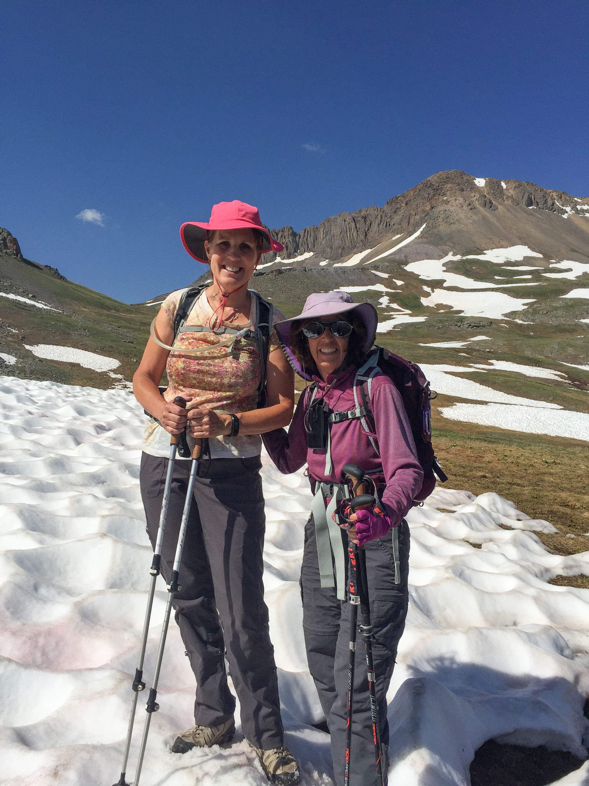
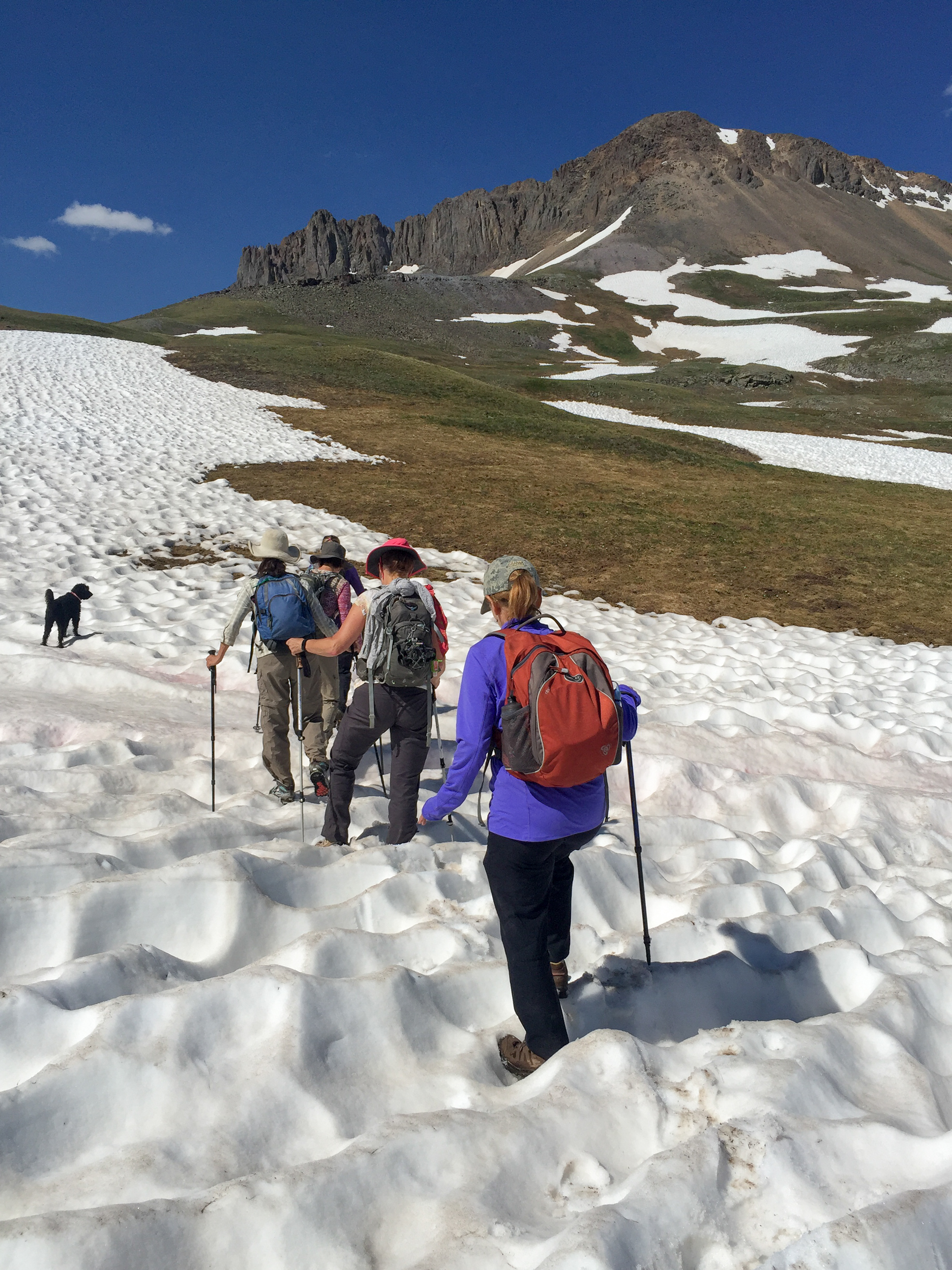
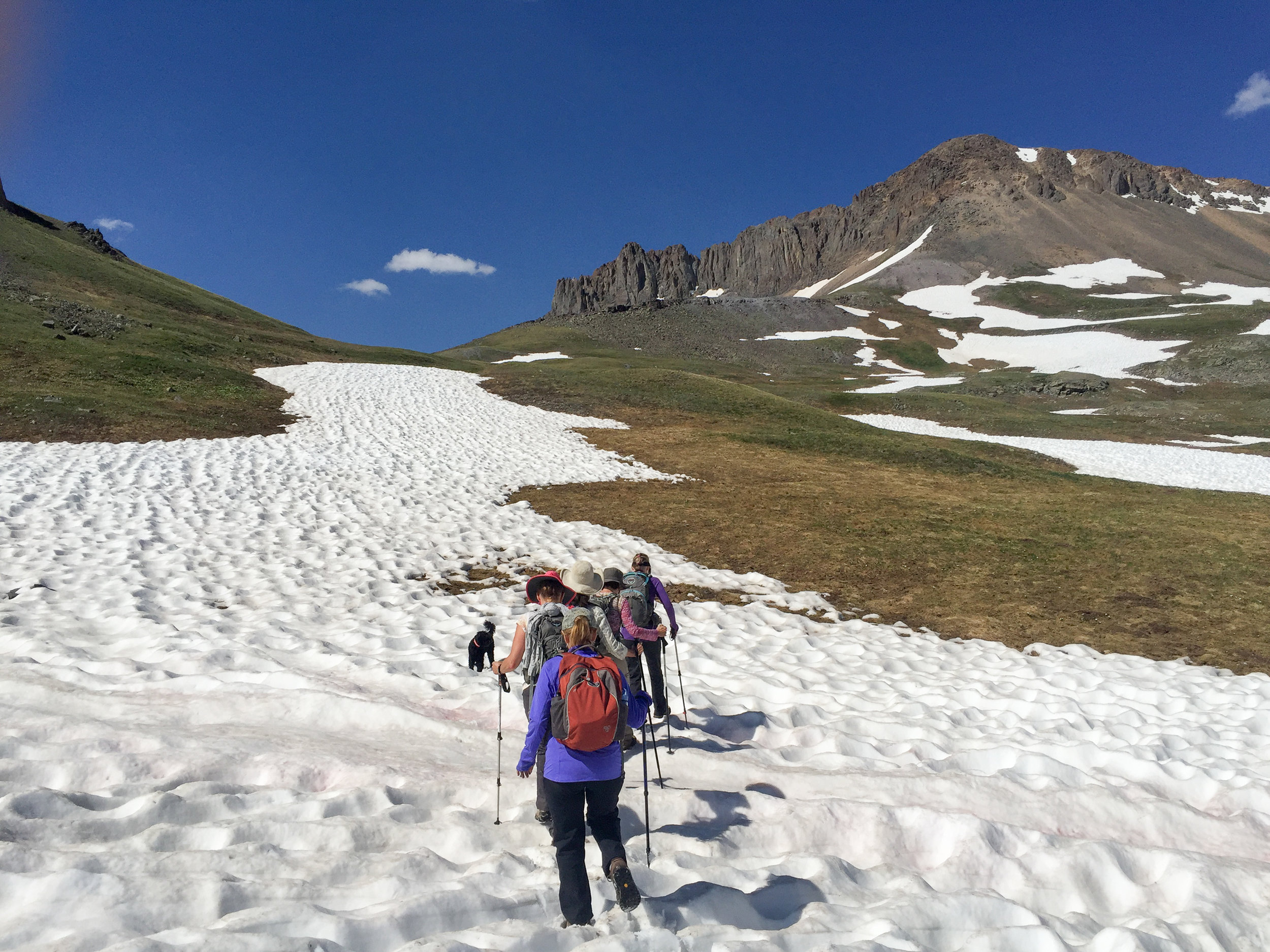
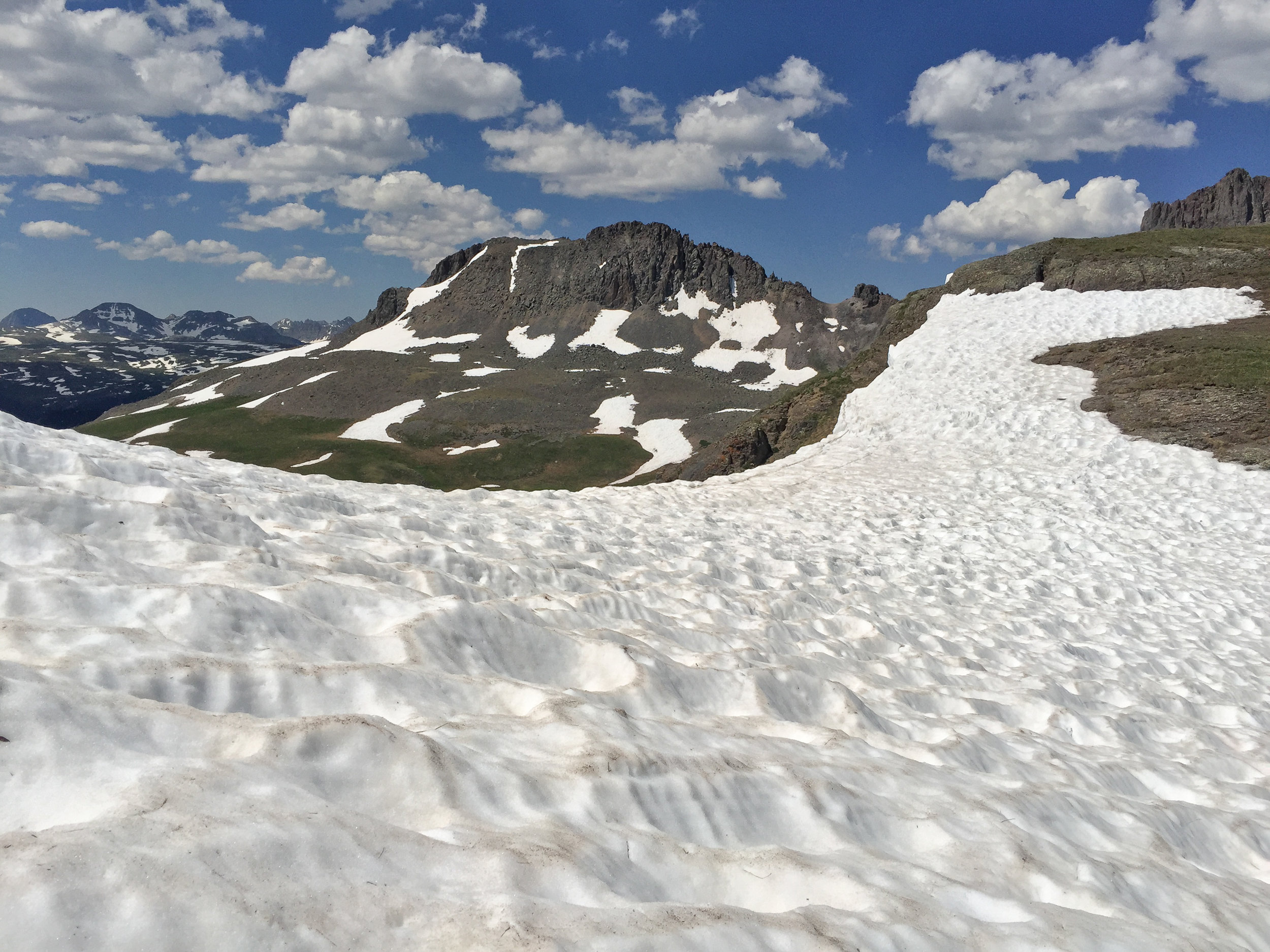
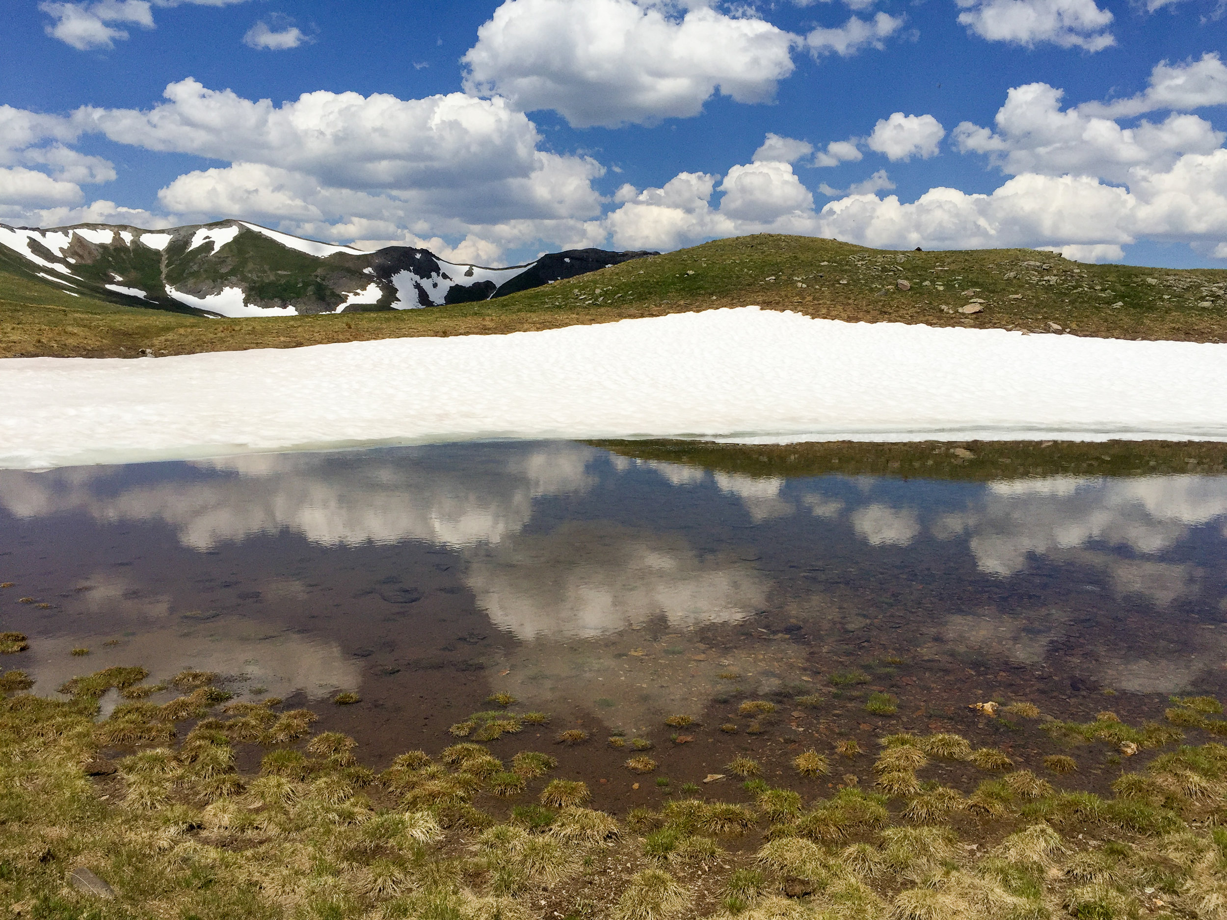
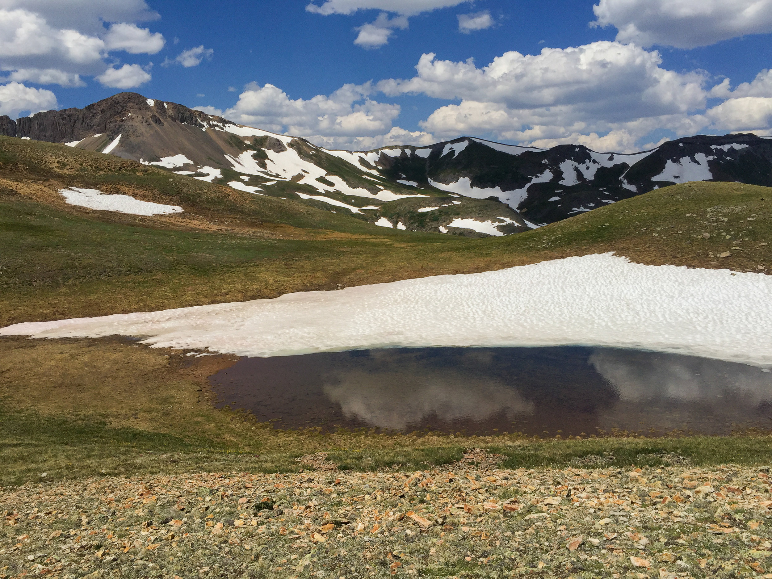
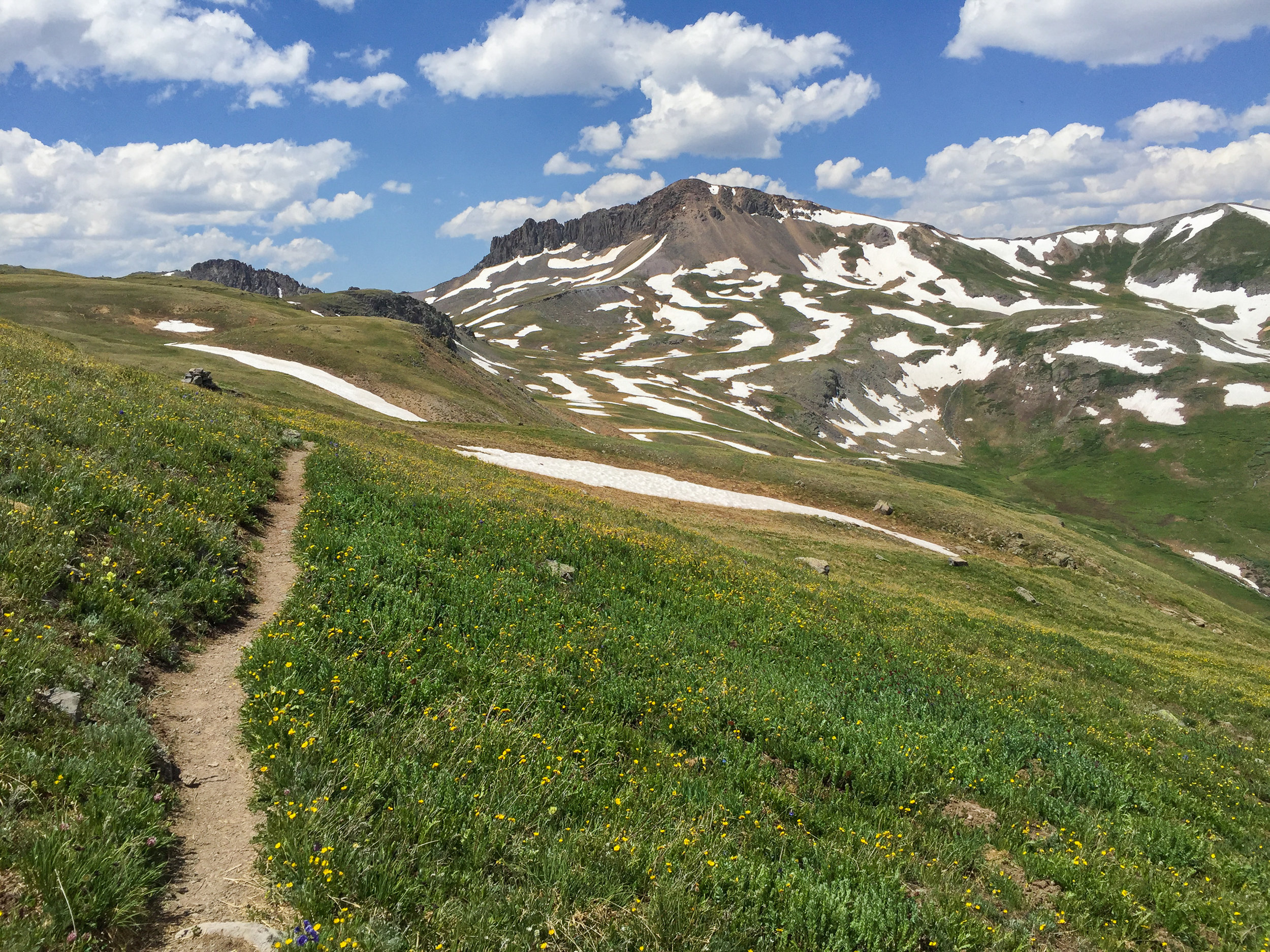
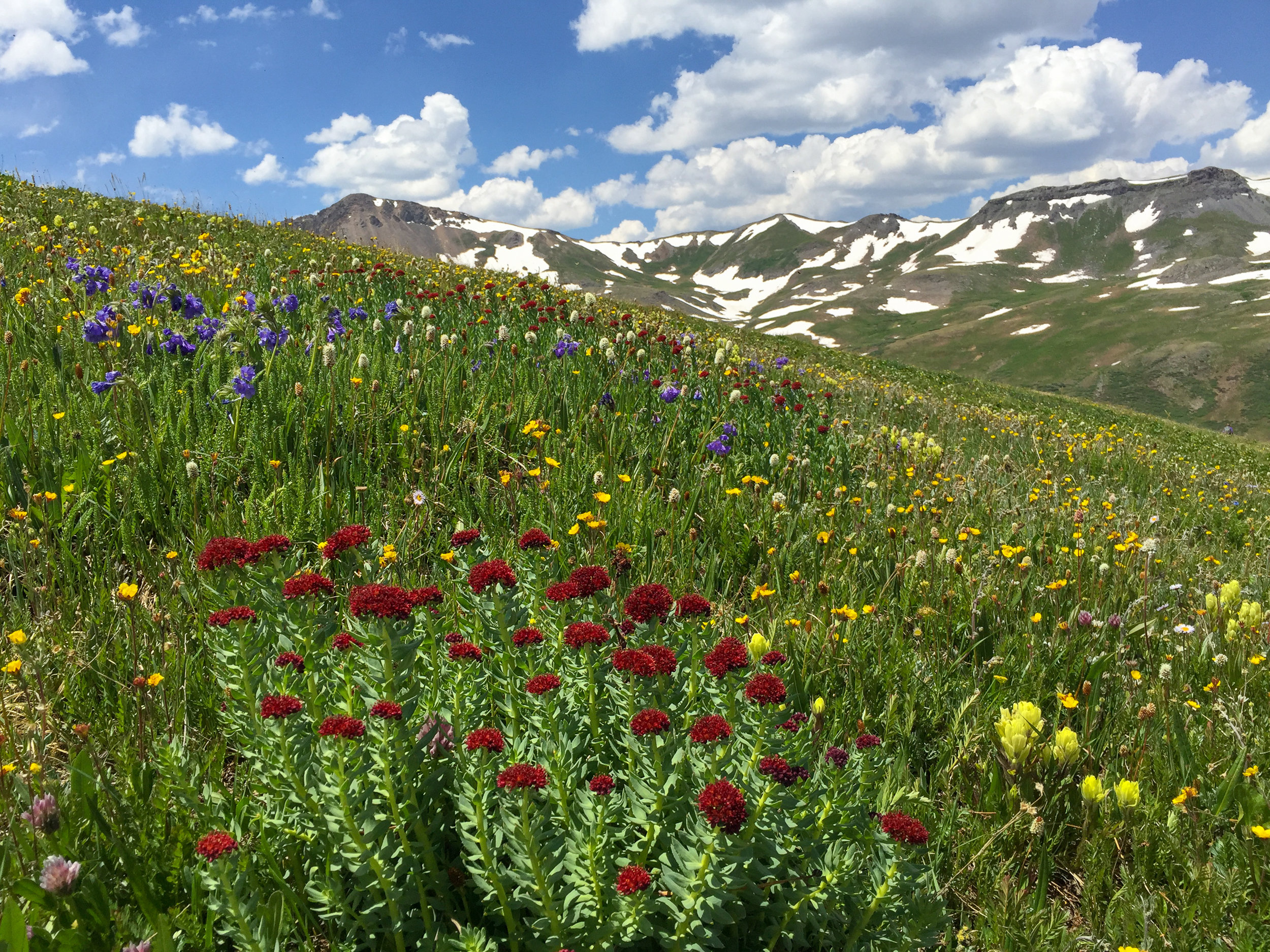
PORPHYRY BASIN, 2019-07-19
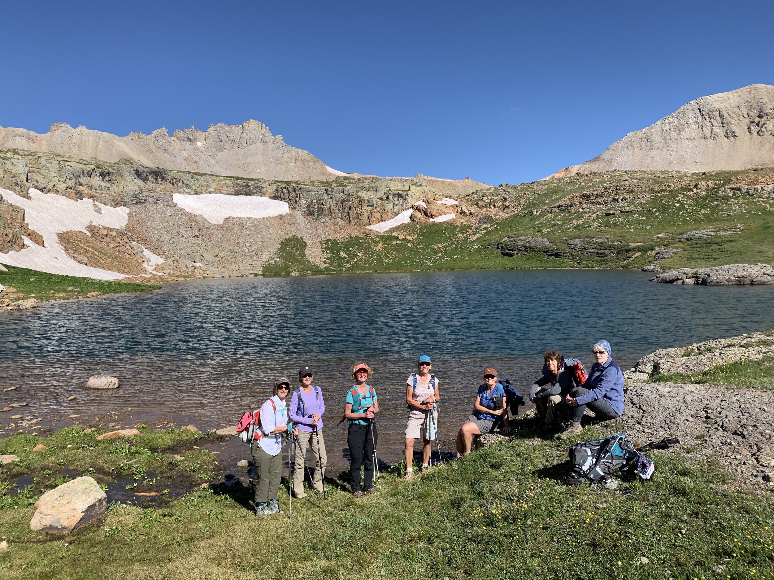
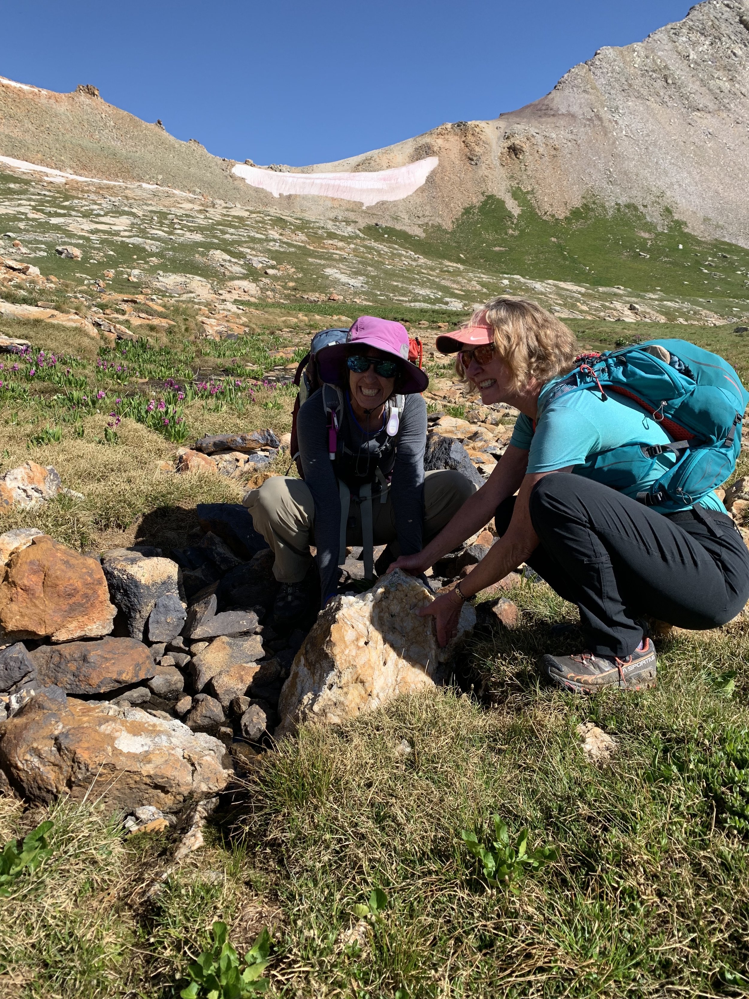
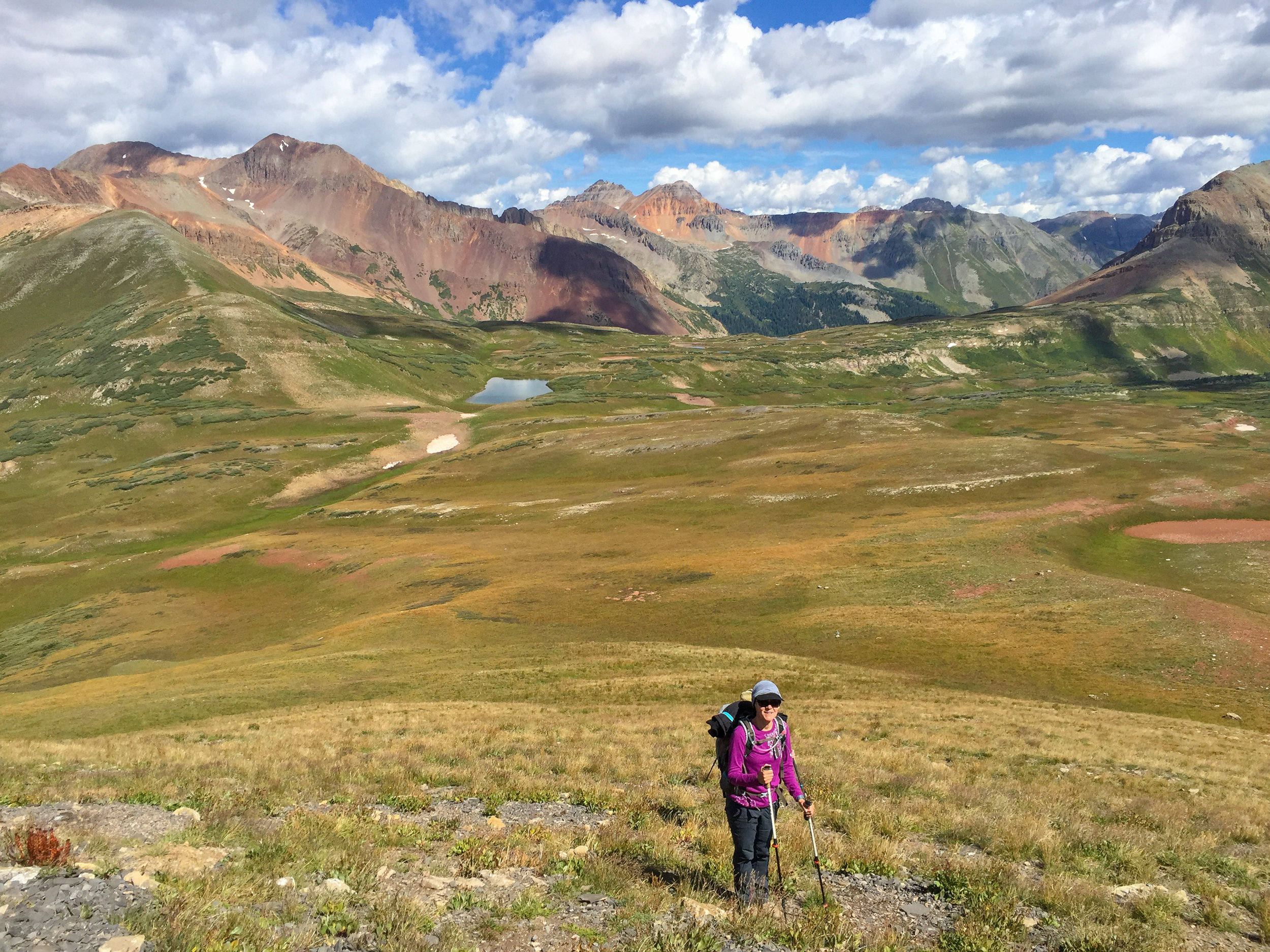
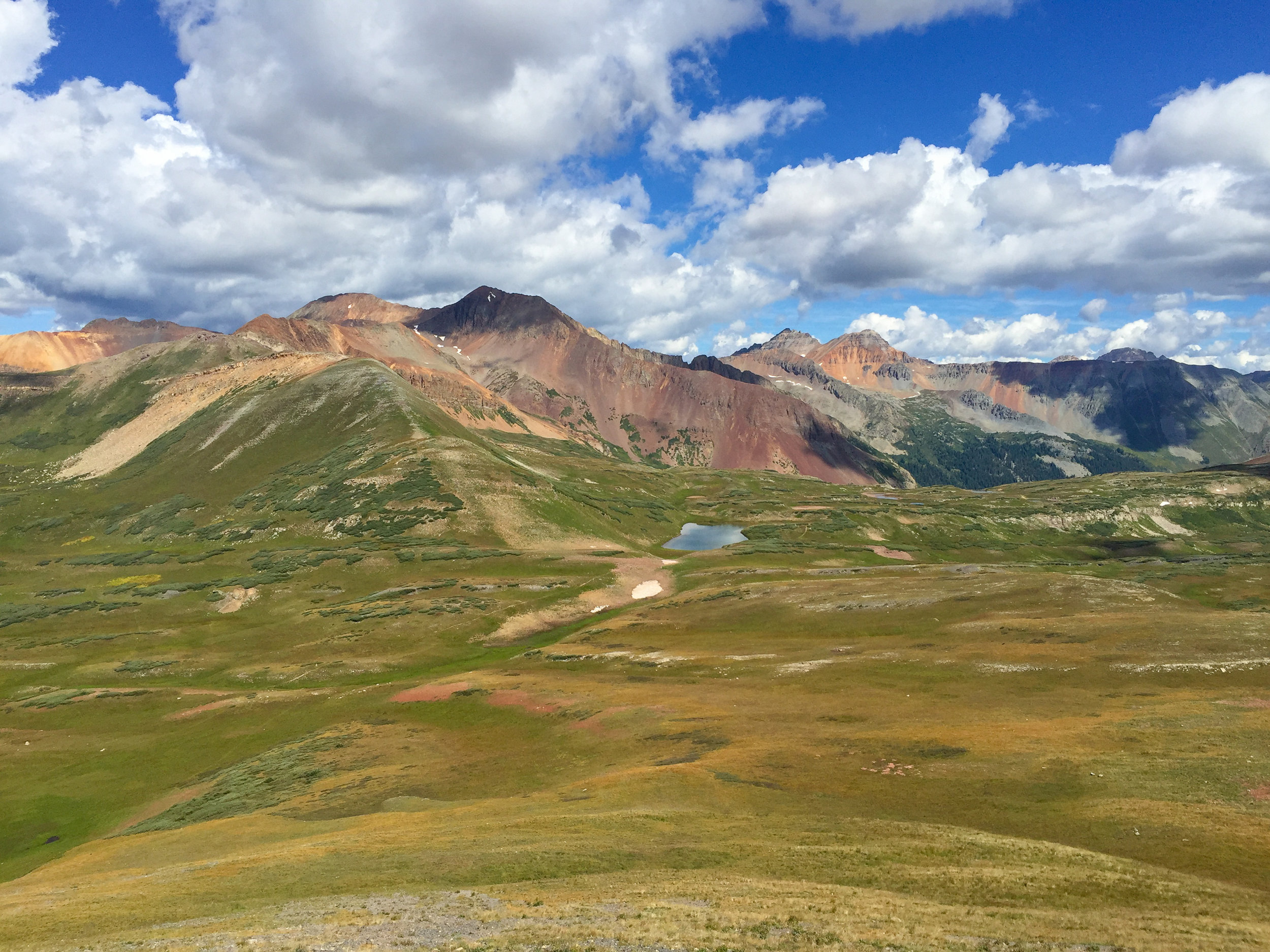
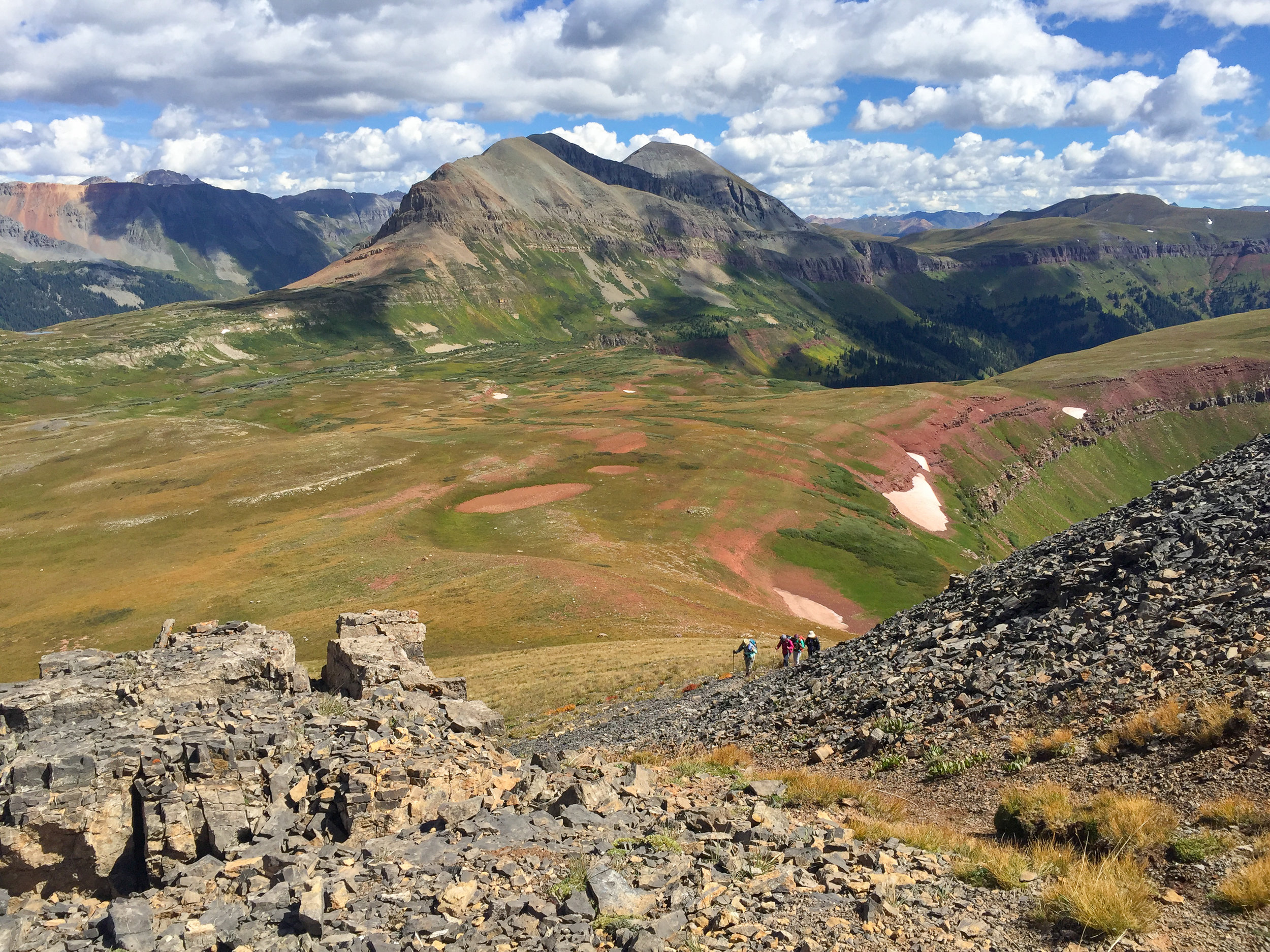
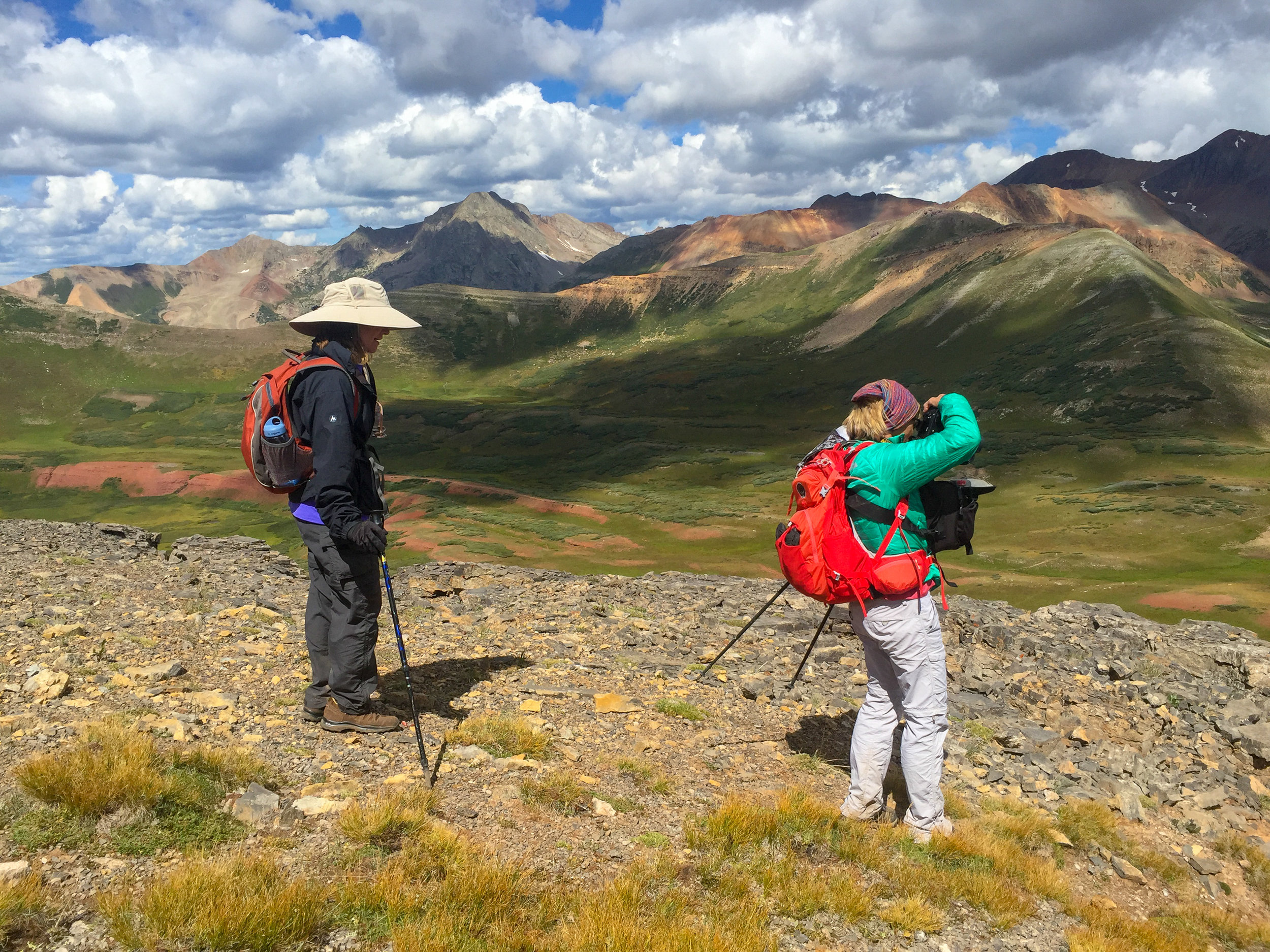
Mrs Lisa “V” lead the Moxies up to Porphyry Basin today. Signs were placed on Hwy 550 to alert other drivers to avoid the area as she and Donna were driving most of the way up Porphyry Road and were fearful of having to pass another vehicle on the narrow, rocky road. Thanks to our fearless drivers we were able to avoid a lot of road walking. It was a perfect day to spend in the mountains with friends. One group hiked to Bullion King and Porphyry Lakes and the other group continued to hike up the ridge below Three Needles that overlooks Mud Lake, elevation 13,050’.


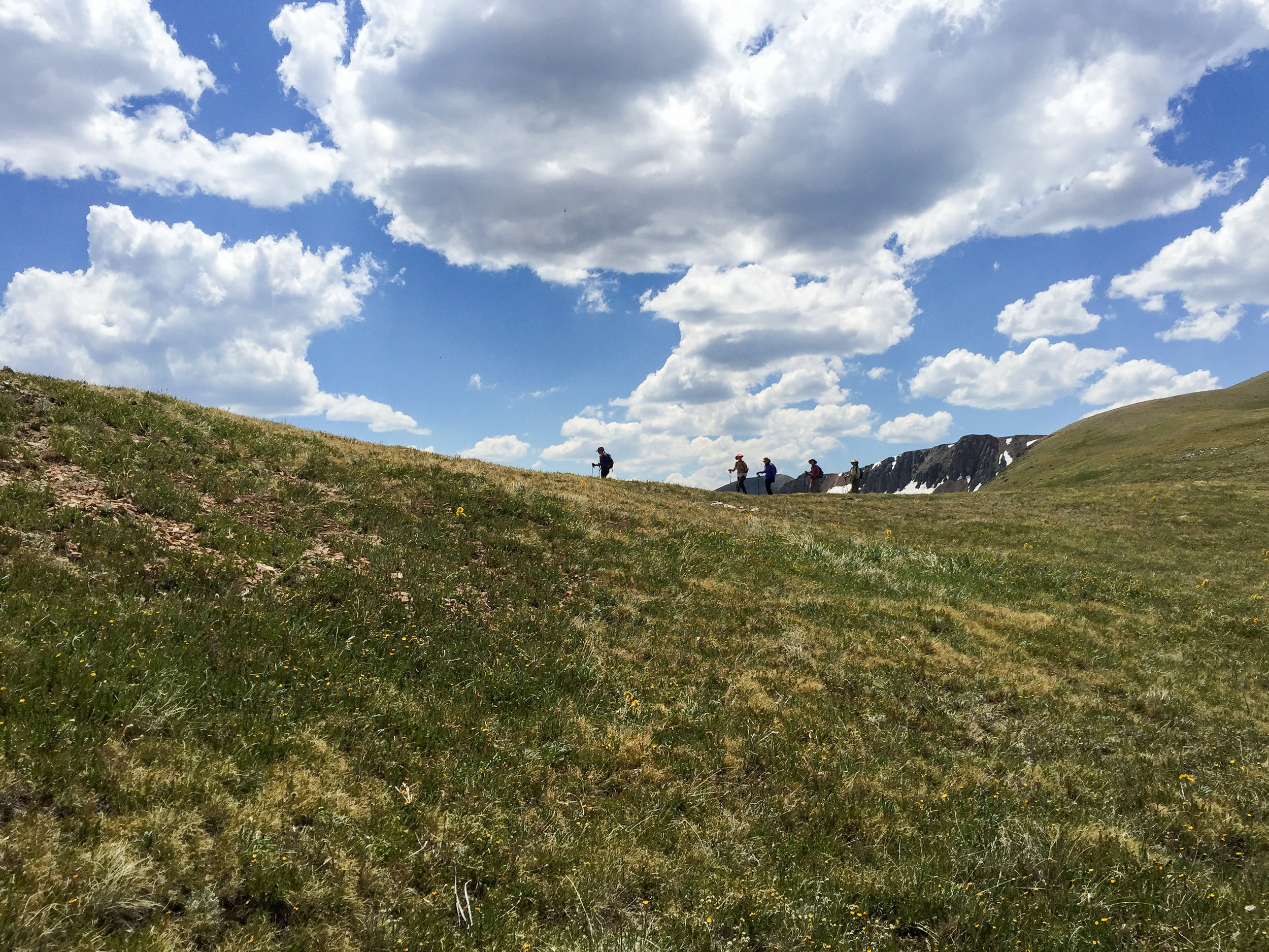
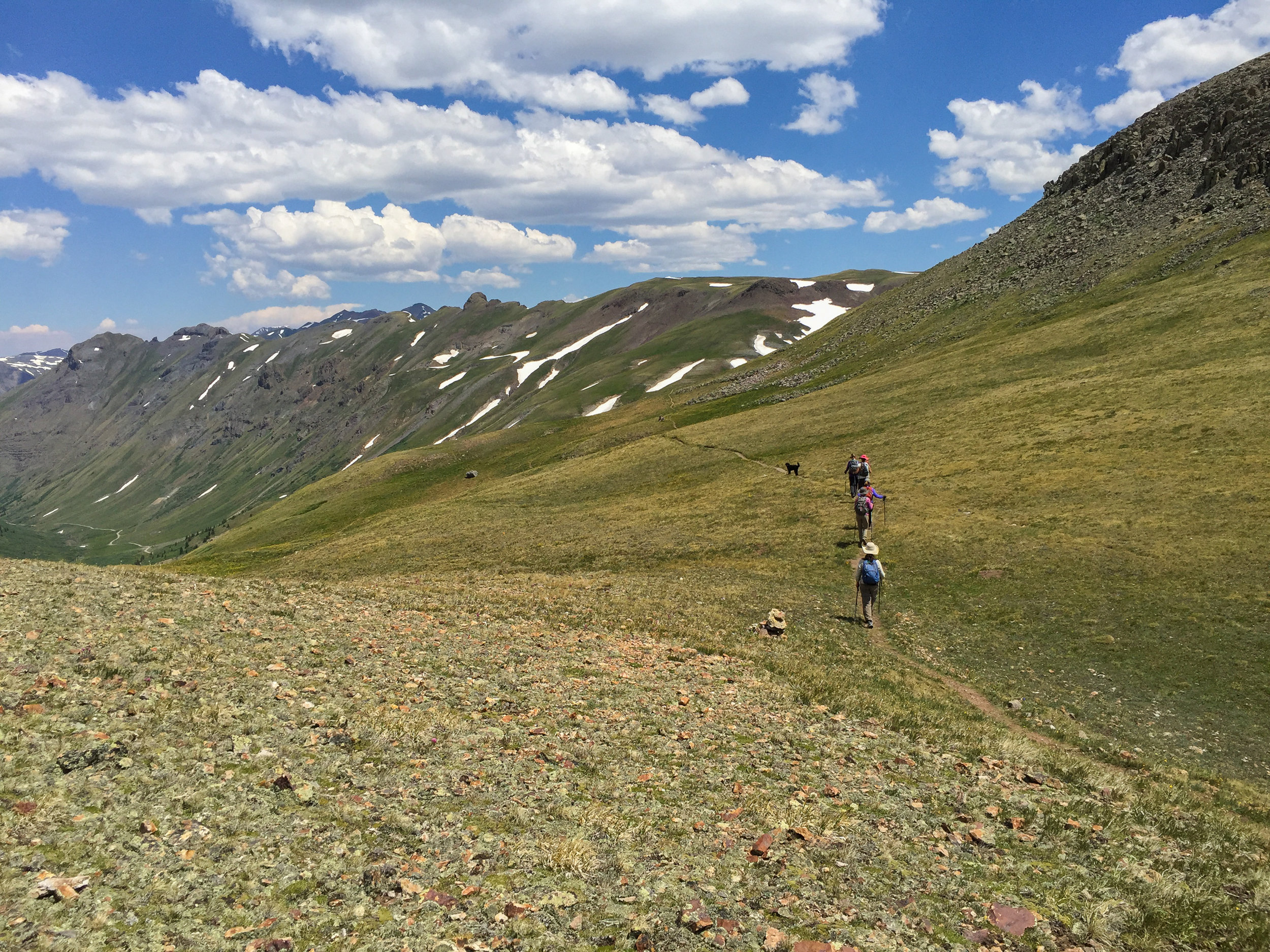
BLACK BEAR ROAD, 2019-07-16
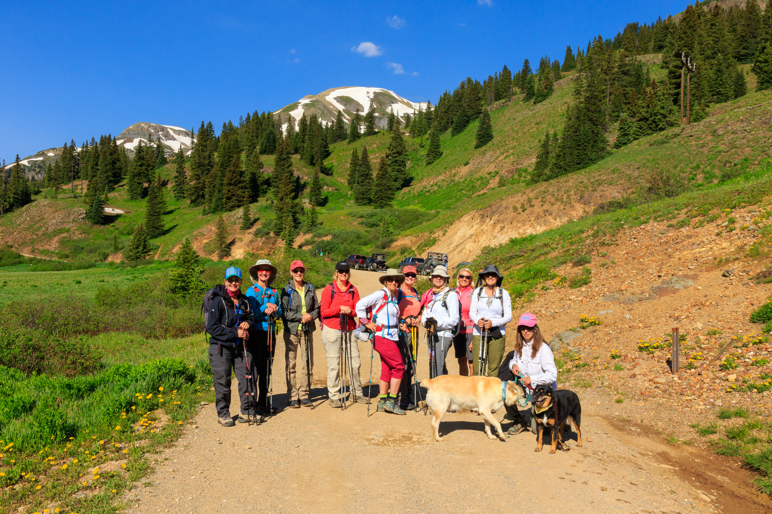
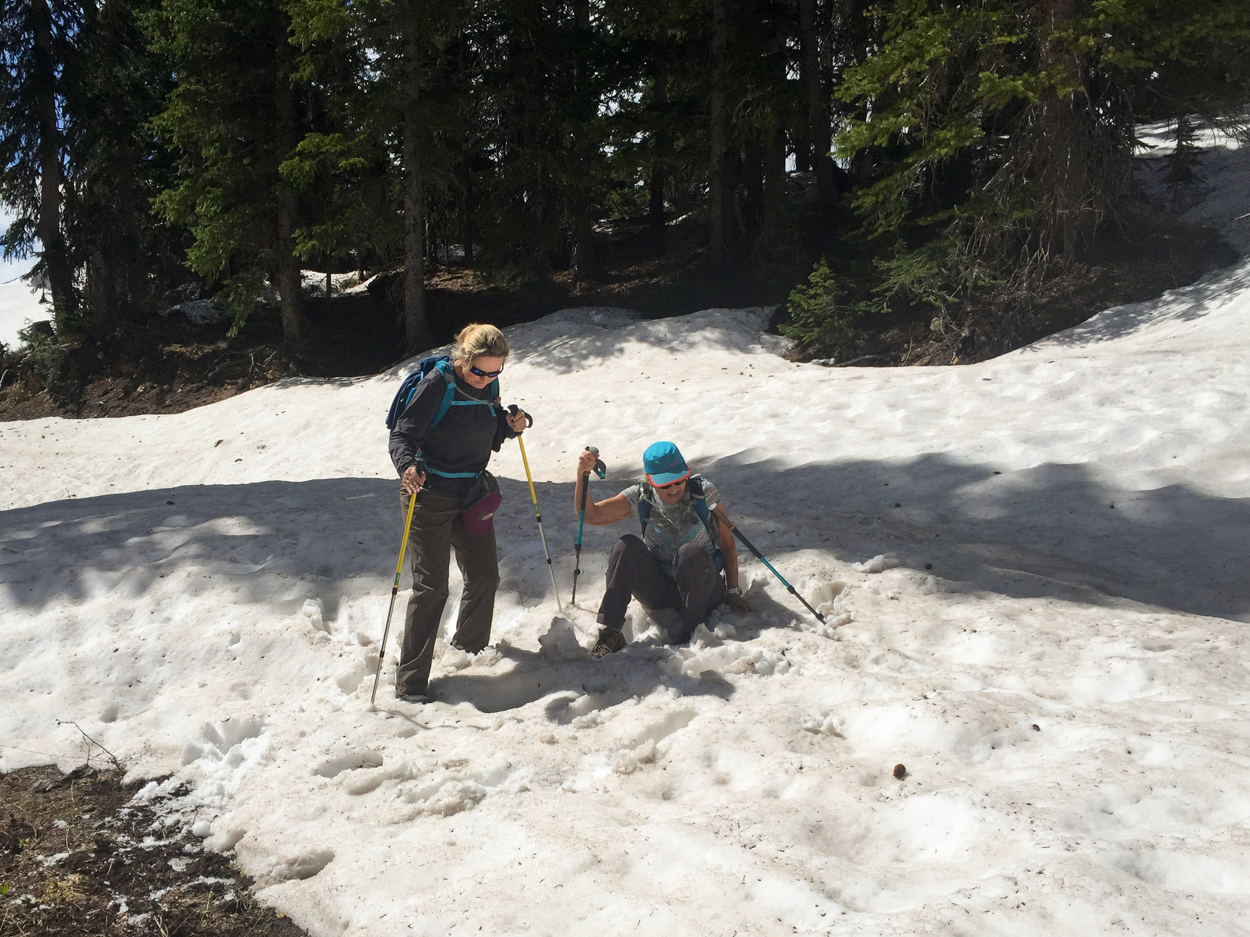
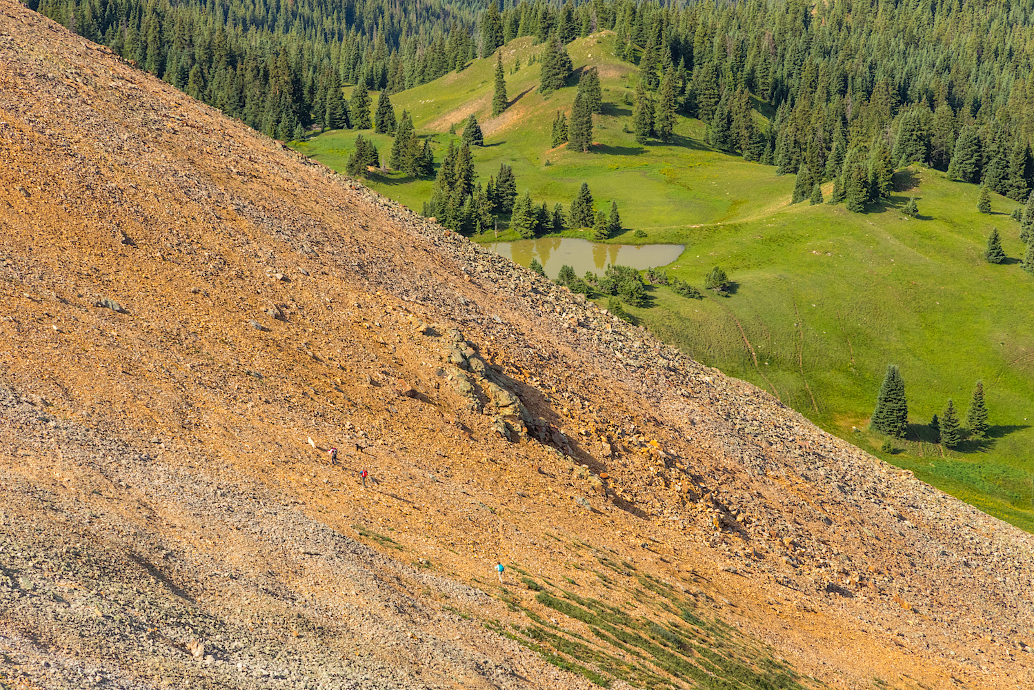
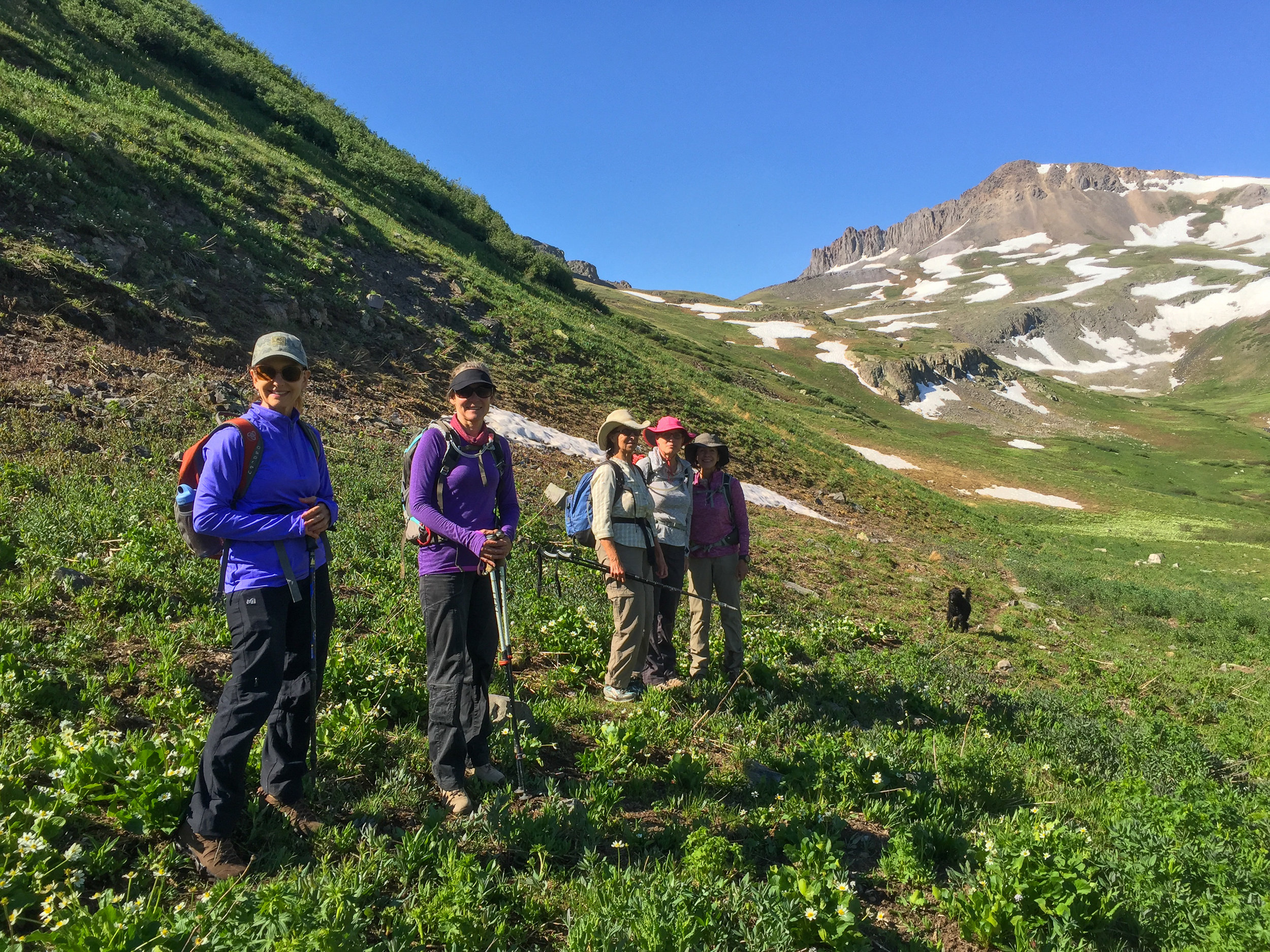
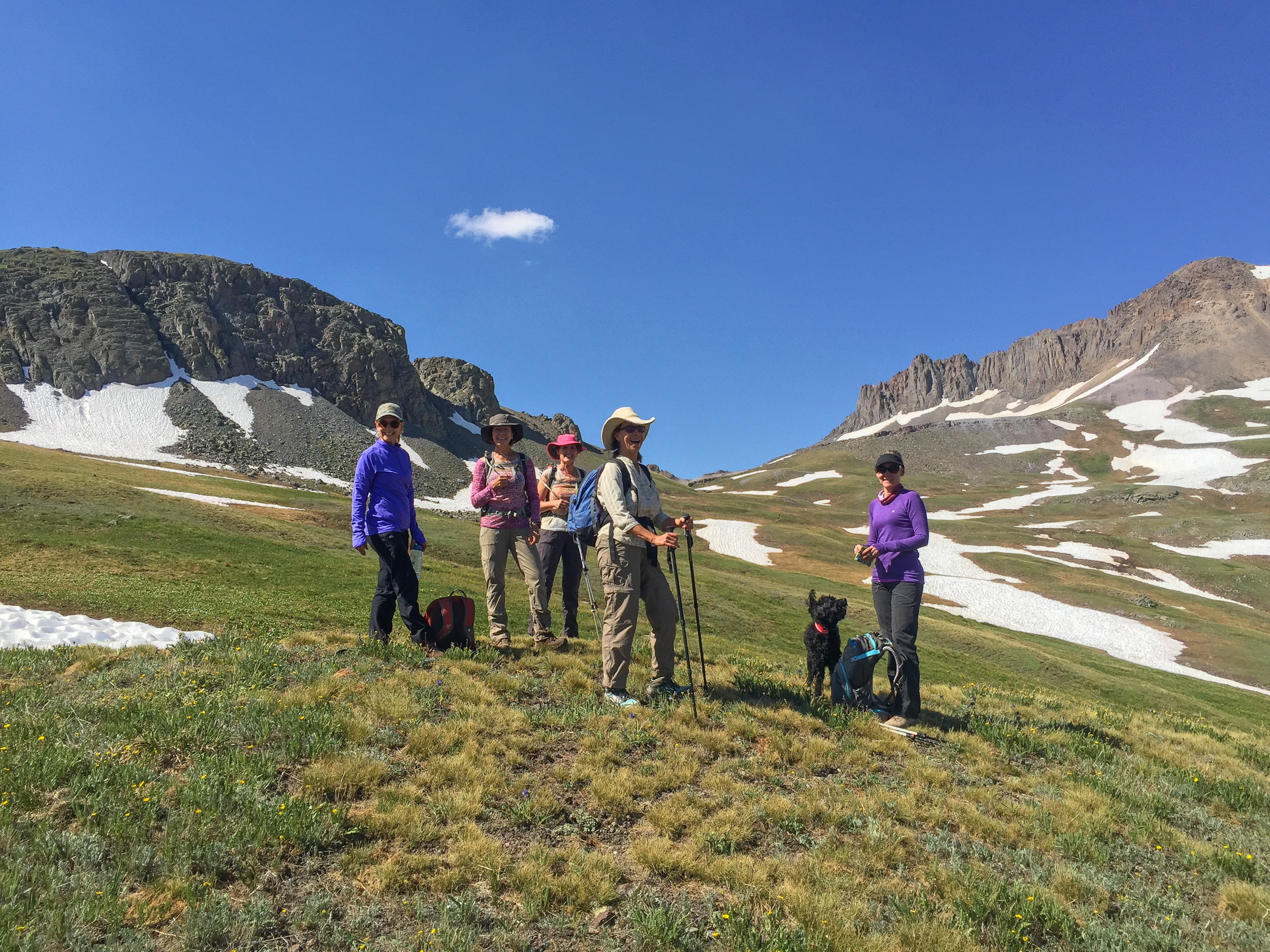
I was happy to once again lead the Moxies on a hike up Black Bear Road to an overlook near Trico Peak. Black Bear Road still has not been plowed and remains closed to motor vehicle traffic due to snow. There were eleven of us on todays hike including Mary Peil, Lisa Vajda, Nancy Ottman, Jill Hood, Mary Howell, Laurie Van Ingen, Margaret Mayer, Kyla Prestwood, Gina Kaufman and Lois Bachus. I was so excited that Kyla was able to join us today since she told me this was her most favorite hike. She could hardly wait to hike to the mud puddle for lunch.😂 I had informed Nancy not to wear her mushroom basket today as I was afraid of what she might try to take home to Jim for dinner. I think he is safe at least for tonight. Mary Howell provided us with her gourmet food tip. She said the mint chocolate chip Oreo cookies were the best! I can’t wait to try them. Jill took a spill and fell on her hand. I truly hope that she is doing okay this evening. We didn’t need to perform surgery and its a good thing because Lois told her “ if it’s not your vagina that’s hurt then I can’t help you”. For those who do not know Lois she is a retired OBGYN. Margaret had to make the trip short today but Gina probably should have turned around early too as she was delirious. She told everyone that she saw Hunter (her son) in Silverton when in fact he was in Ouray. I also thought I was going to have to call Mary Peil an uber to get home as she couldn’t keep her eyes open and almost feel asleep in the backseat of my truck. And as to not leave out Lisa and Laurie, I want to mention how good they were to follow my directions to drink extra water for this high altitude hike. As a result, they sure insisted on that bathroom stop in Silverton. It was a a fun day and a great group that I’m thankful to have gotten to spend time with. As usual our trail stats at the end of the afternoon didn’t match but my Alltrails recorded 4.8 miles and 1473” of elevation gain. And last but not least, thanks to Jill and Laurie for driving.

CLEAR LAKE ROAD, July 8, 2019
A hike or drive up Clear Lake Road is always scenic but add some snow and the adventure really begins. Although we didn’t make it all the way to Clear Lake the hike was enjoyable just the same.


BLACK BEAR ROAD, July 6, 2019
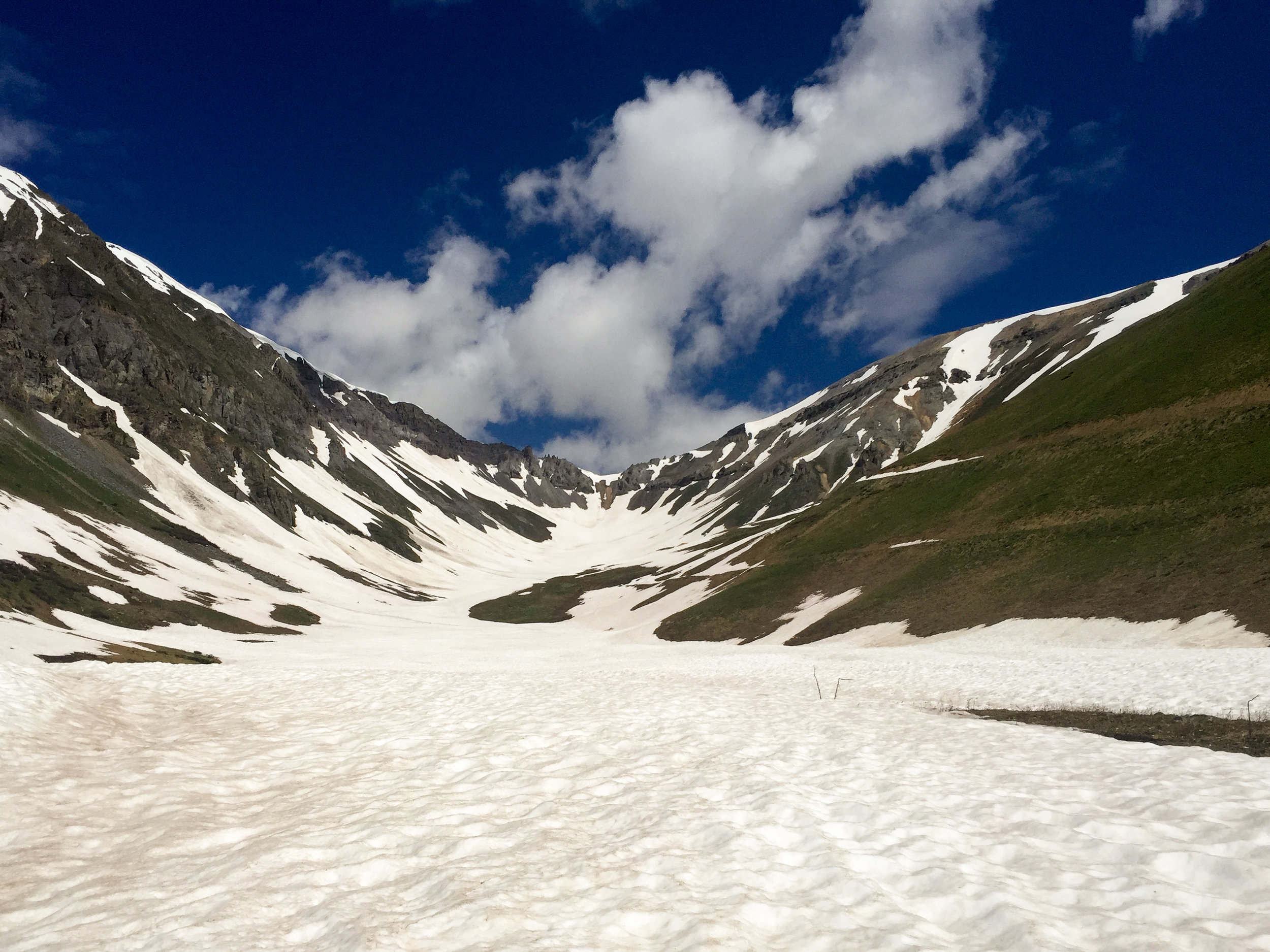
Black Bear Road is still closed to Motor Vehicle Travel due to the excessive snow so it makes for an excellent high altitude hike. It was a beautiful sunny day and we enjoyed laughing at all the foolish Jeepers and ATV’ers that got themselves stuck in the snow. The forest service did report that the road was impassable and closed. The Basin was completely covered in 3-6’ of snow. Not sure if the road will be completely passible this entire summer or not. Happy Hiking…..


SPIRIT BASIN, July 1, 2019


TOWER MOUNTAIN
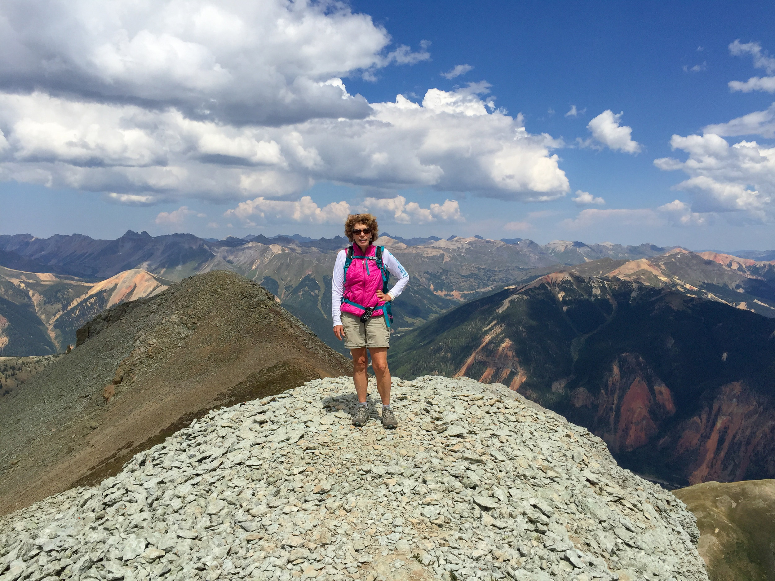
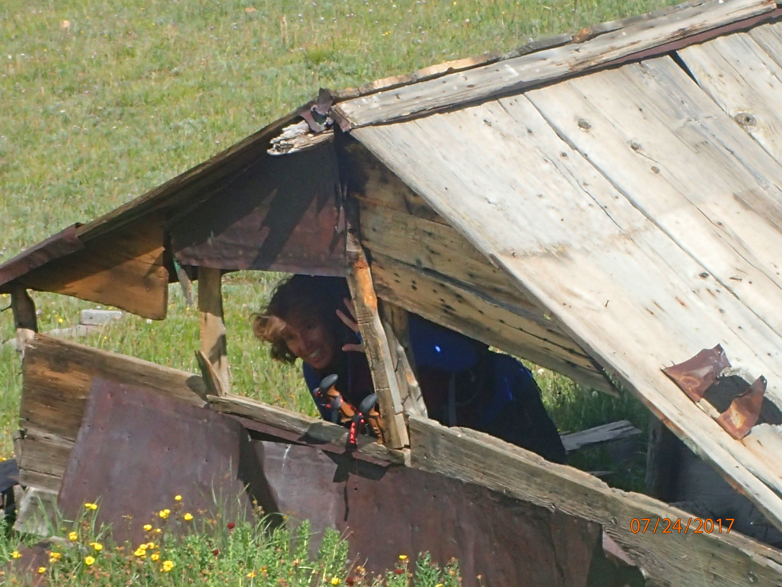
ON THIS SEPTEMBER 11, 2017, LISA VAJDA AND MYSELF DECIDED TO ATTEMPT TO REACH THE TOP OF TOWER MOUNTAIN FROM VELOCITY BASIN AS A MEMORIAL HIKE FOR THE 16TH ANNIVERSARY OF THE 9/11 TERRORIST ATTACKS. THIS WAS ACTUALLY JANE MARIE JOHNSON'S IDEA AND SCHEDULED HIKE BUT DUE TO THE POOR WEATHER FORECAST SHE RESCHEDULED THE HIKE FOR LATER IN THE WEEK. LISA AND I HAD BEEN LOOKING FORWARD TO THIS HIKE SO WE PROCEEDED WITH CAUTION KNOWING THAT RAIN AND THUNDERSTORMS WERE IN THE EARLY AFTERNOON FORECAST. THIS IS A "HARD" STEEP HIGH ALTITUDE HIKE OF 6+ MILES RT HIKE MOSTLY ON ANIMAL TRAILS THAT GAINS OVER 2300' TO REACH THE TOP OF TOWER MOUNTAIN AT AN ELEVATION OF 13,552'. ONCE ON THE RIDGE ABOVE THE SADDLE, THE 360 DEGREE VIEWS OF THE SURROUNDING PEAKS AND THE VIEWS DOWN INTO VELOCITY BASIN ARE OUTSTANDING. WE STARTED OUT EARLY IN THE MORNING WITH SUNNY SKIES BUT AS WE REACHED THE RIDGE HEADING TOWARD TOWER WE SAW CLOUDS AND LIGHT RAIN IN THE DISTANCE. WE DECIDED TO STOP FOR LUNCH (SO THAT I COULD EAT MY PEANUT BUTTER AND JELLY SANDWICH) AND ACCESS THE WEATHER. WE DECIDED IT WASN'T WISE TO CONTINUE ON SO AFTER A QUICK STOP, WE PACKED UP AND TURNED BACK. AT THIS TIME, WE HEARD THE FIRST SOUNDS OF THUNDER. I WAS SO SCARED THAT I HIKED AT THE SPEED OF LIGHT AND TURNED AROUND TO FIND LISA WAY BEHIND. THEN IT STARTED TO RAIN AND THE WINDS WERE PICKING UP. LISA DUE TO HER RECENT ANKLE FRACTURE WAS DESCENDING SLOWLY AS TO NOT HURT HER ANKLE. BEING THE KIND AND CONSIDERATE MOXIE THAT I AM, I CONTINUED TO HIKE DOWN EVEN MORE QUICKLY AS I AM A BIG CHICKEN WHEN THE THUNDER AND LIGHTENING STARTS. WHAT A FRIEND I AM!!! BUT...SHE DID SAY THERE WAS NO NEED FOR BOTH OF US TO DIE AND SHE HAD THE KEYS TO THE TRUCK SO SHE KNEW I WASN'T GOING TOO FAR WITHOUT HER. ANYWAY, WE DID END UP GETTING RAINED ON BUT WE SURVIVED AND IT WAS A FUN DAY. WE LOOK FORWARD TO OUR NEXT ADVENTURE. NEXT TIME LISA I PROMISE I WON'T LEAVE YOU BEHIND BUT ONCE YOUR ANKEL IS FULLY RECOVERED YOU WILL BE THE ONE LEAVING ME IN THE DUST.
WHITEHEAD PEAK TRAIL
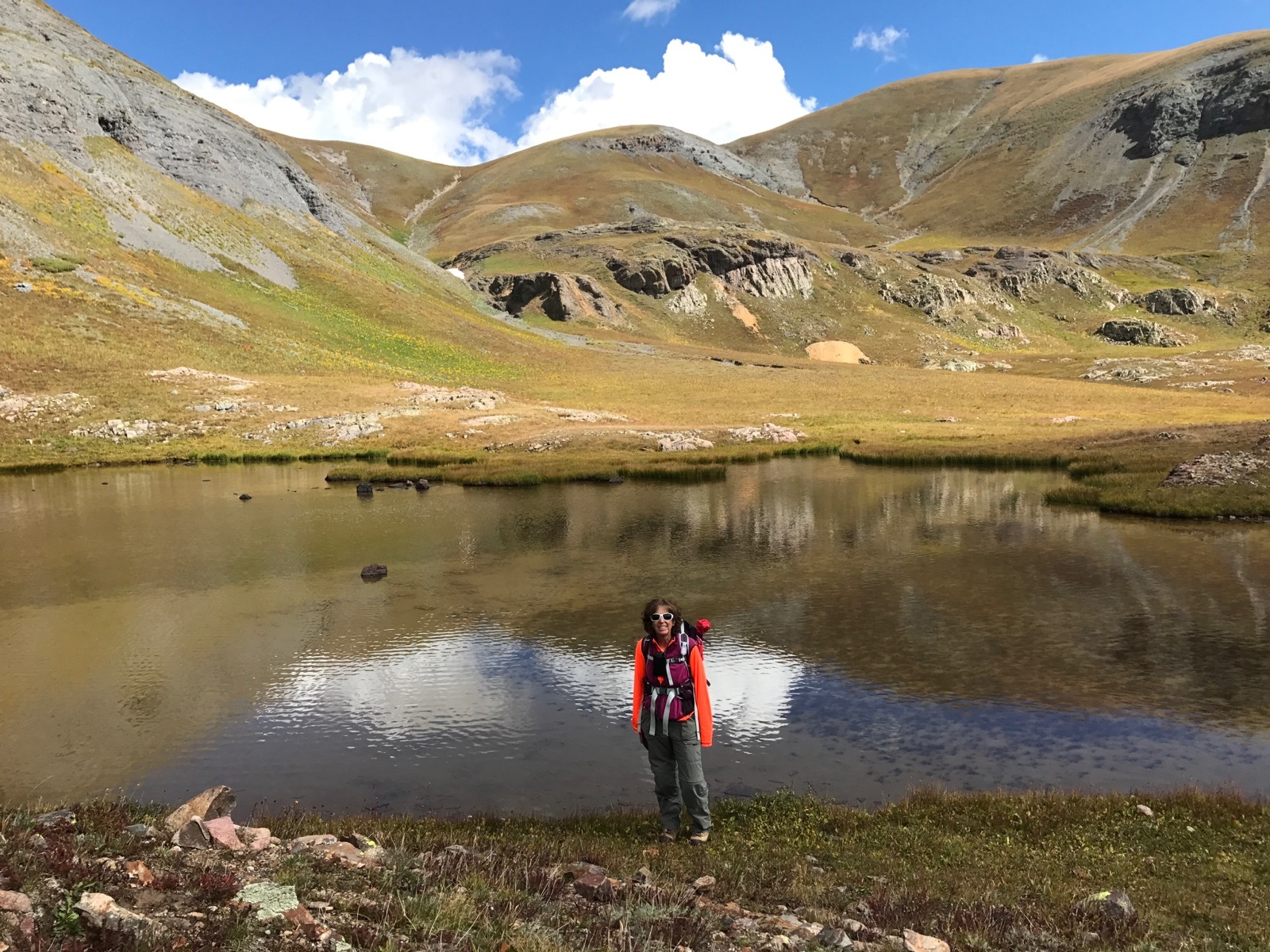
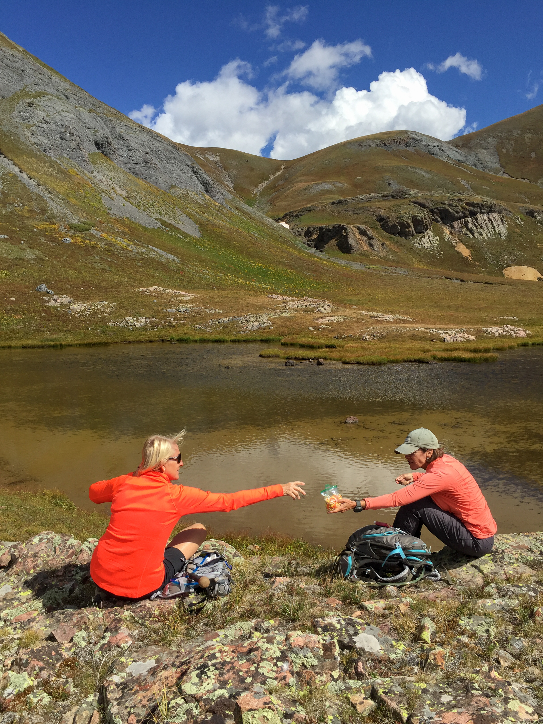
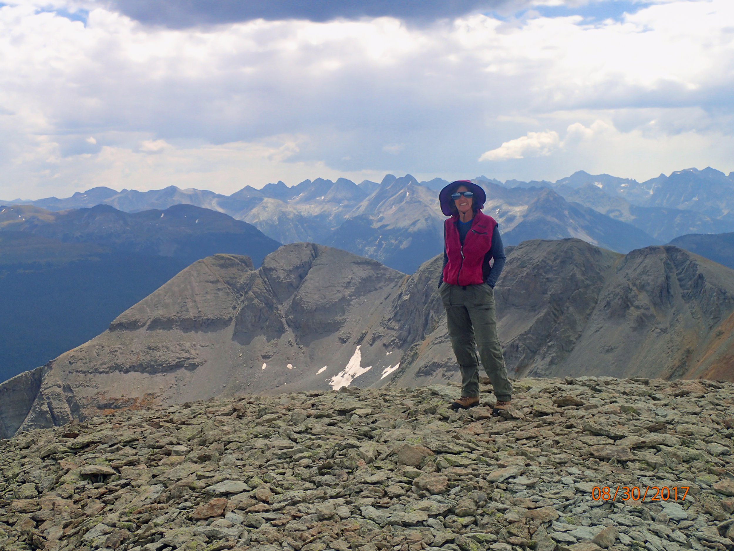
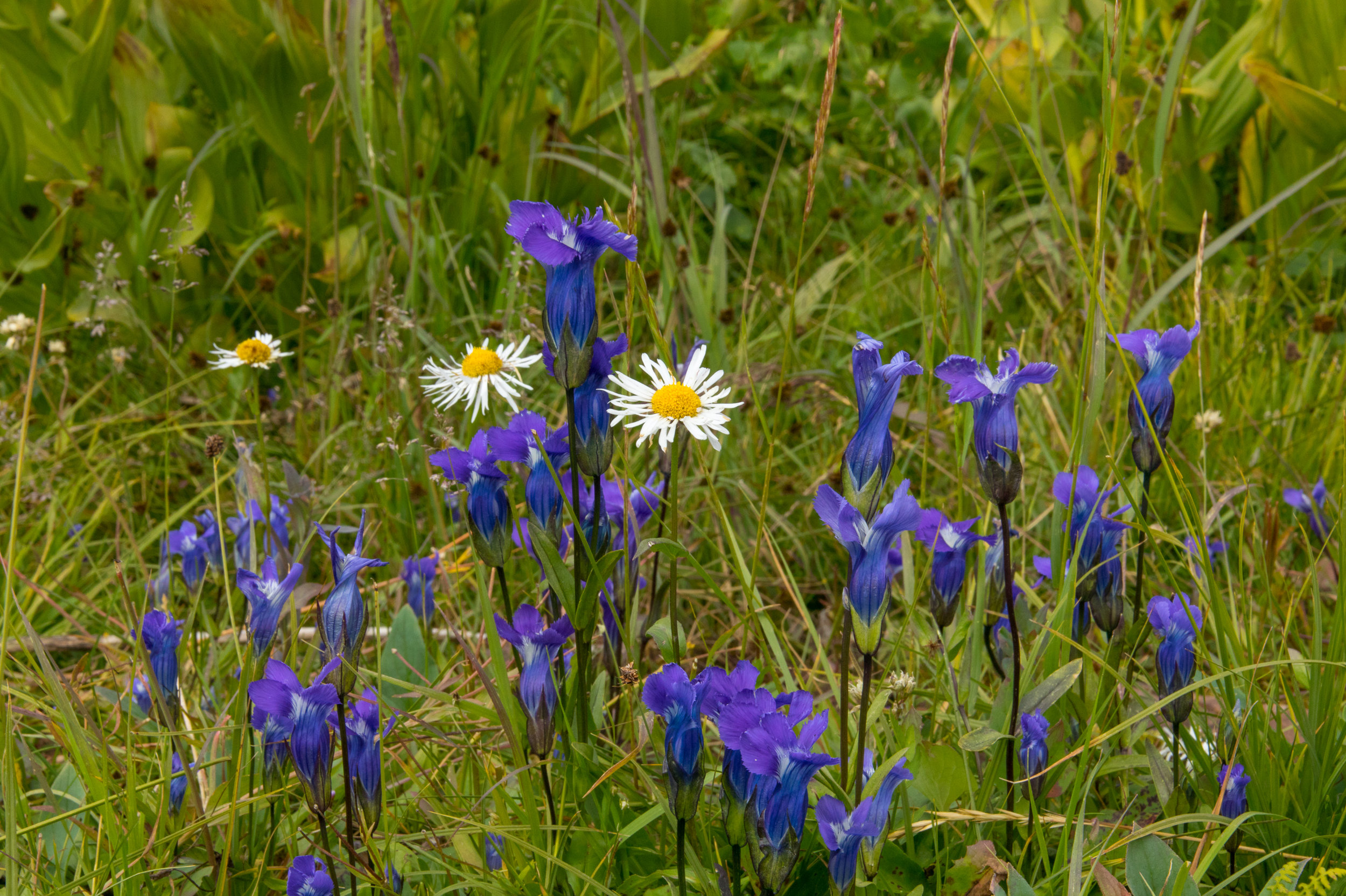
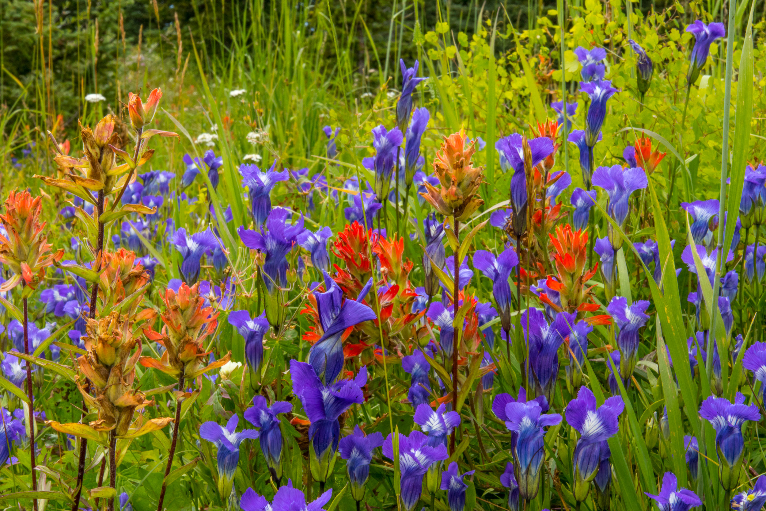
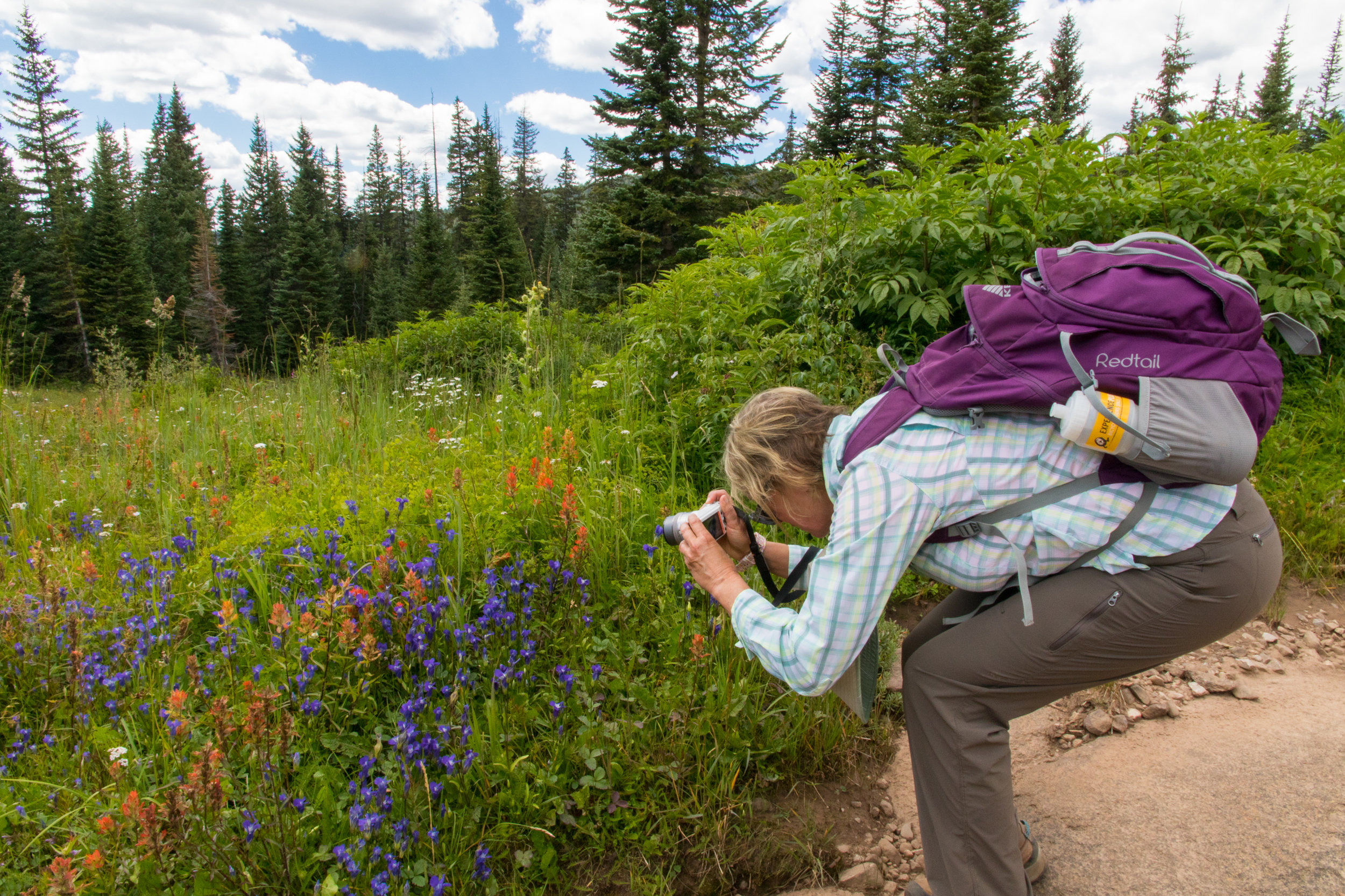
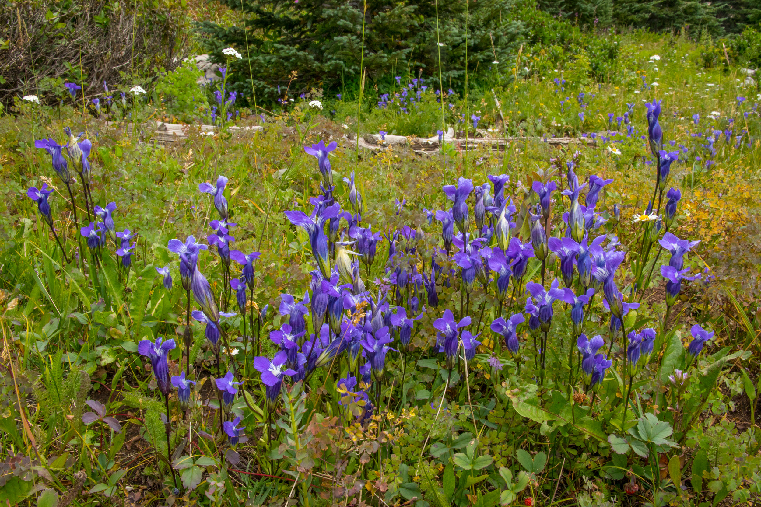
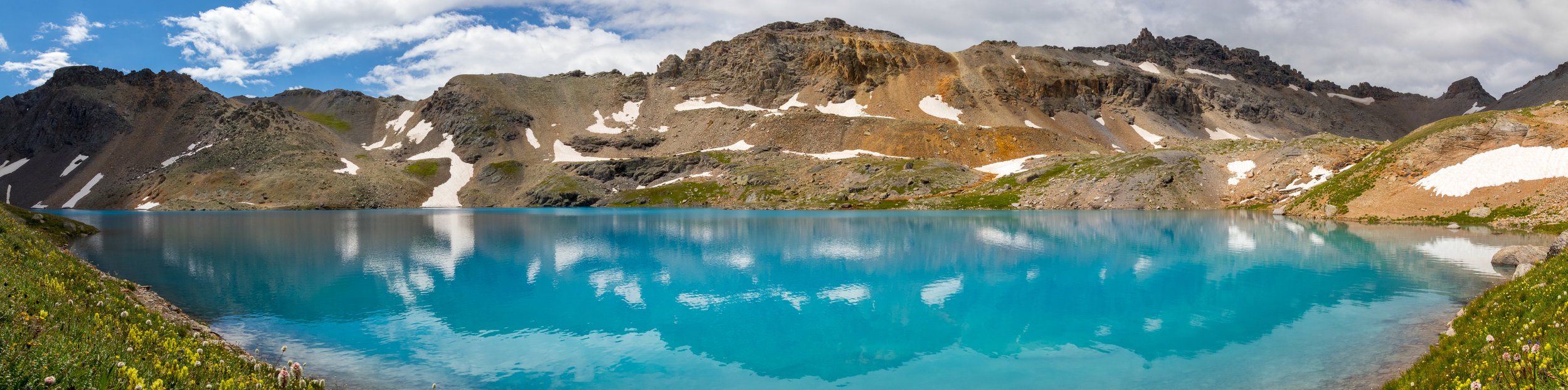
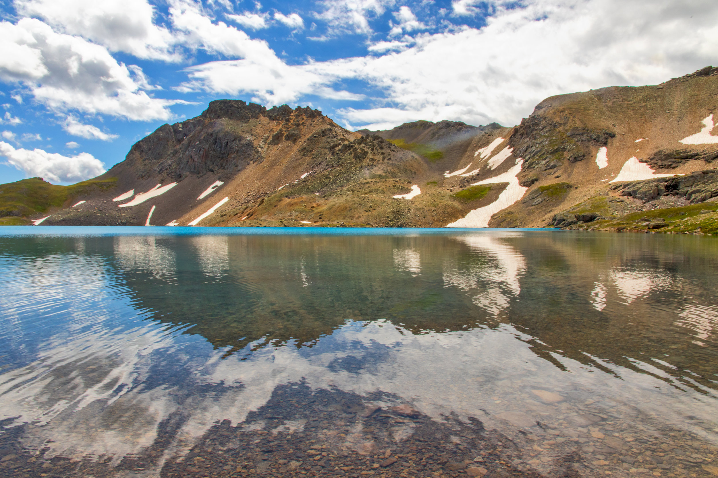
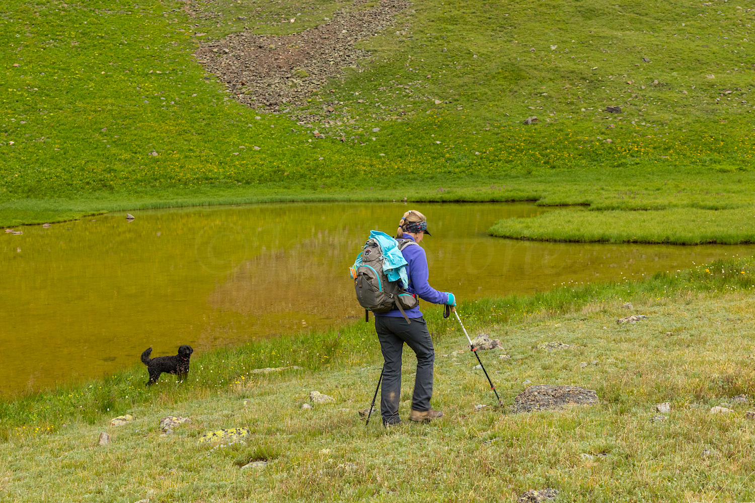
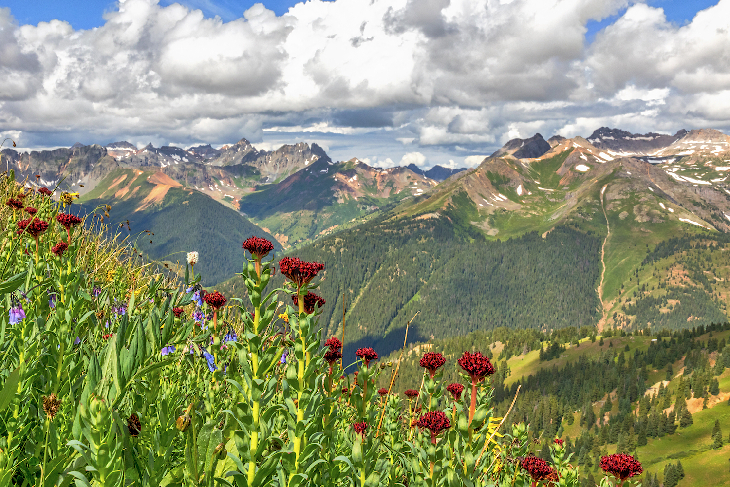
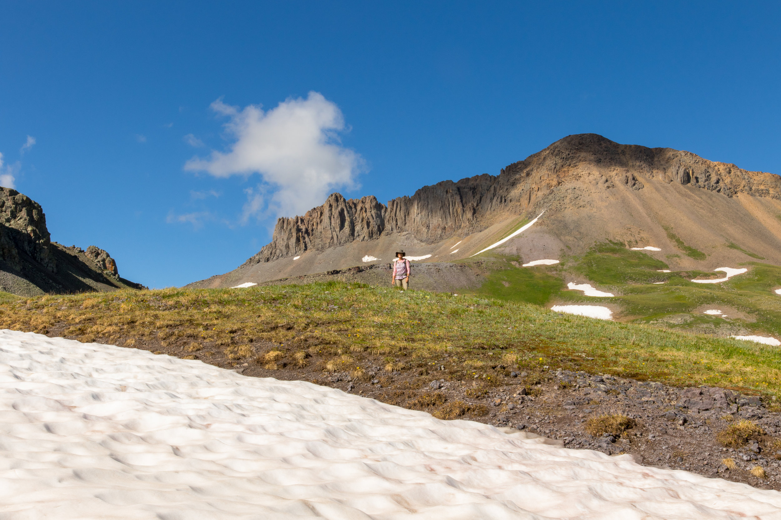
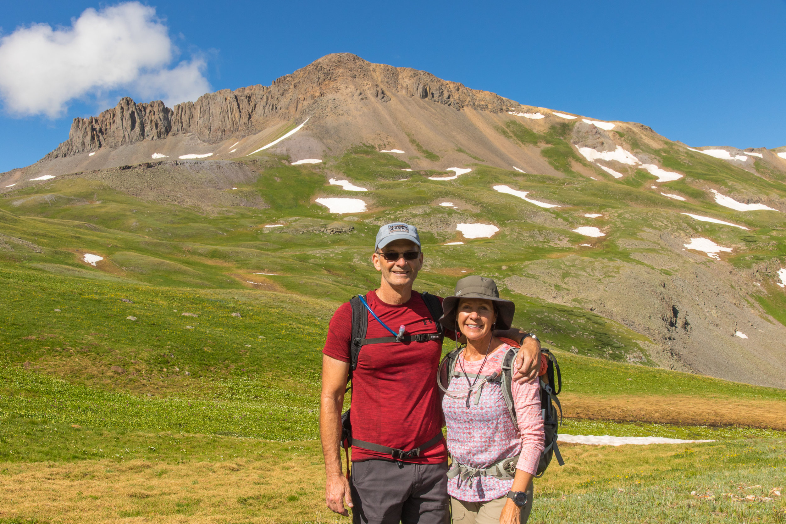
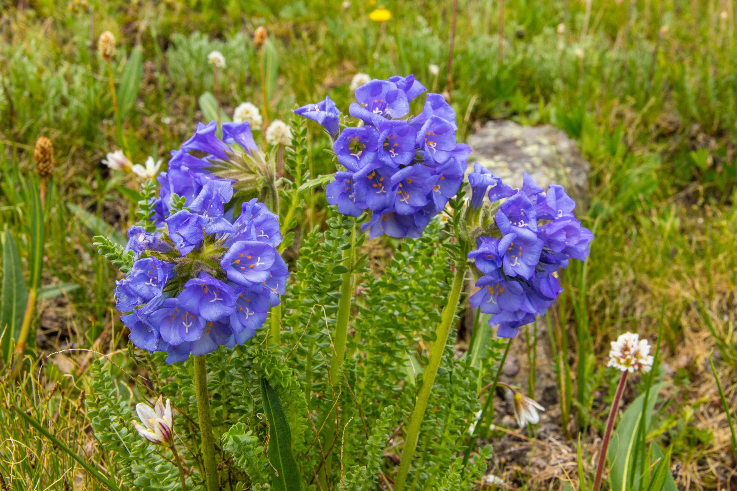
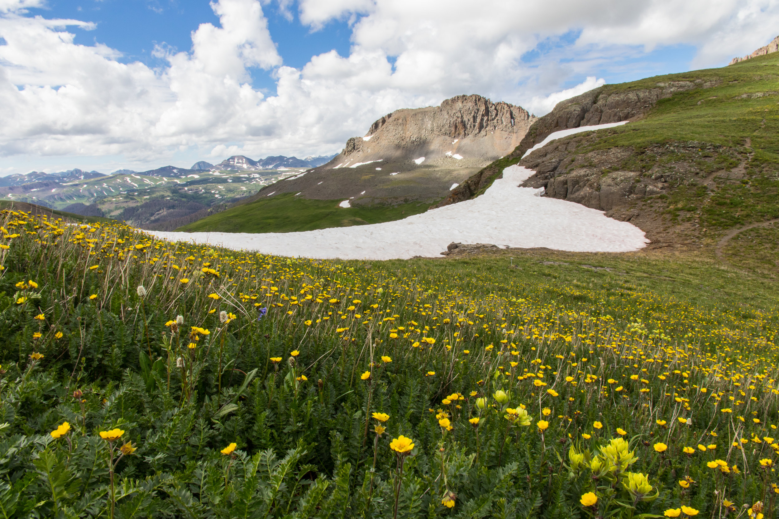
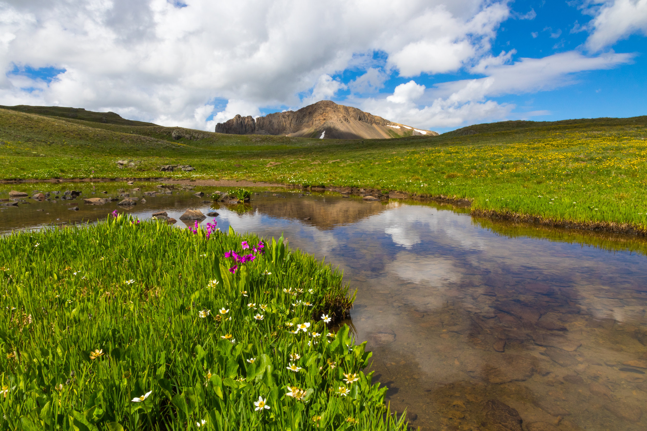
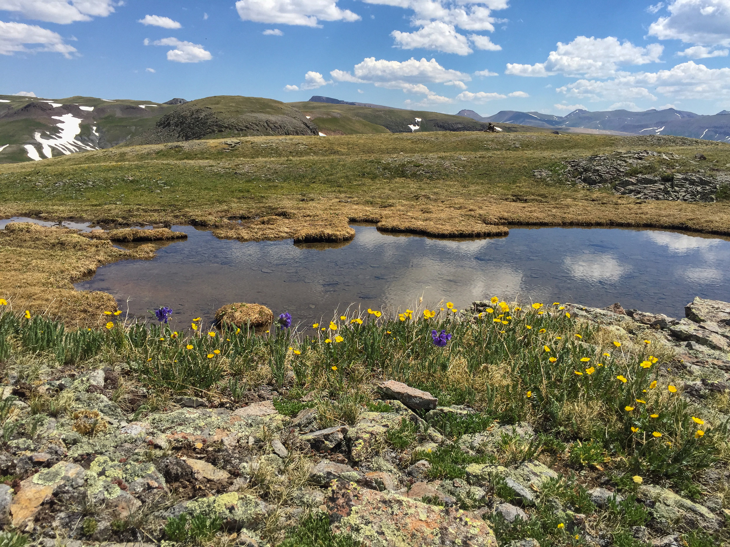
Finally a day with a forecast that didn't predict a 50% or greater chance of rain by noon. This prompted a last minute decision to put together a hike to Whitehead Peak Trail. Angela, Mary, Lisa, Gina and myself enjoyed the 5.2 mile round trip mostly easy trail to the pond and back. The trailhead is at 11,632' and the highest point was 12,350' and the overall gain was 1,411'. The trail is above tree line from the start and the views of surrounding mountain ranges are instant. There were still wildflowers in Whitehead Gulch and up the hillsides even as some of the ground cover is changing from green to orange and yellow. The little pond is pretty with its reflection of Whitehead Peak. Mary's candy corn was a big hit today on the trail and we just couldn't keep Angela out of it. She even pulled the bag out of Mary's hand at the lake...Yes, Believe it. I have the picture to prove it. And, I wanted to share my excitement for the fall season but no one wanted me to sing my favorite fall song. Hum...I wonder why? It is the most beautiful time of the year!
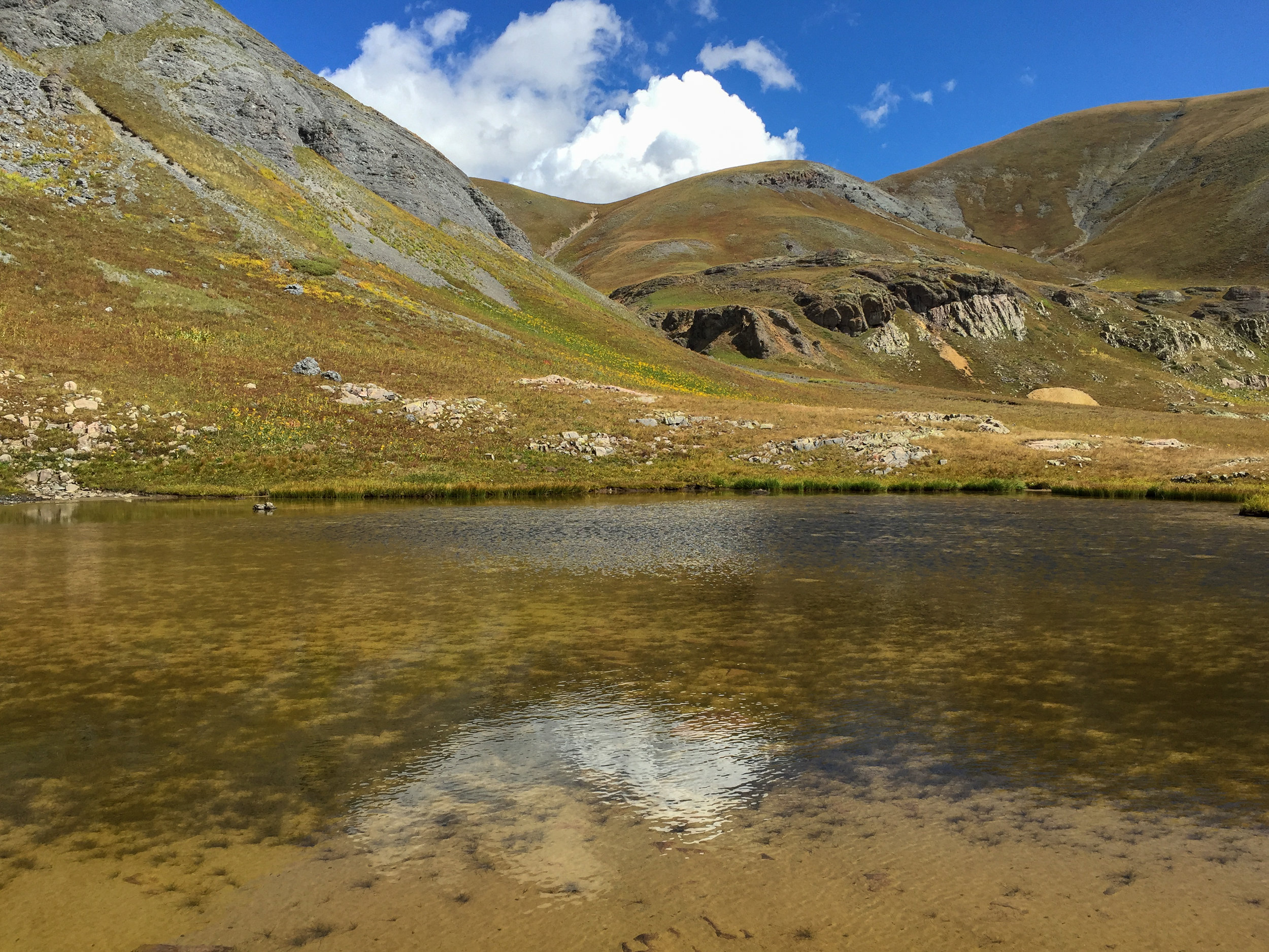
Little Pond below Whitehead Peak
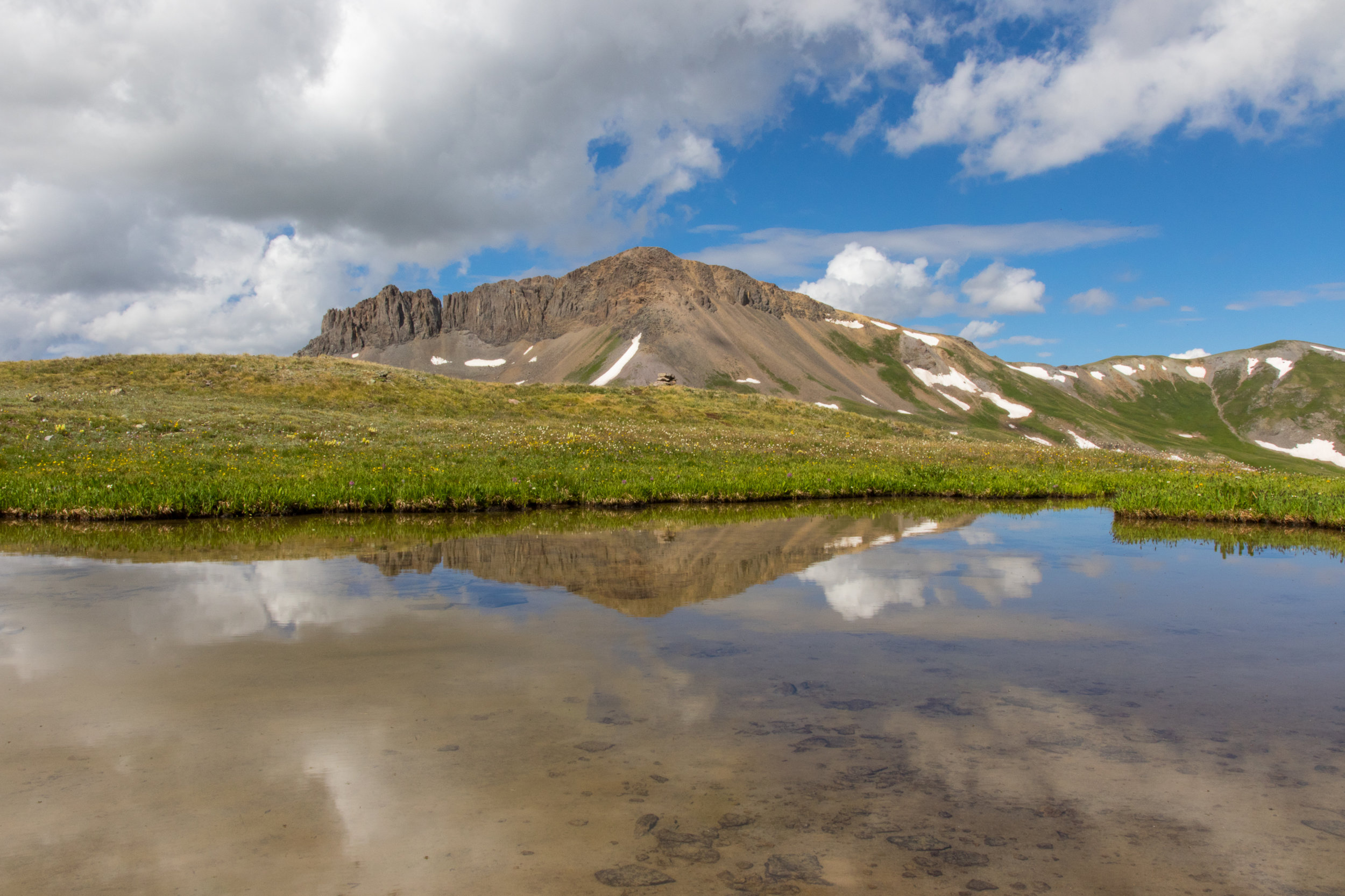
SULTAN PEAK
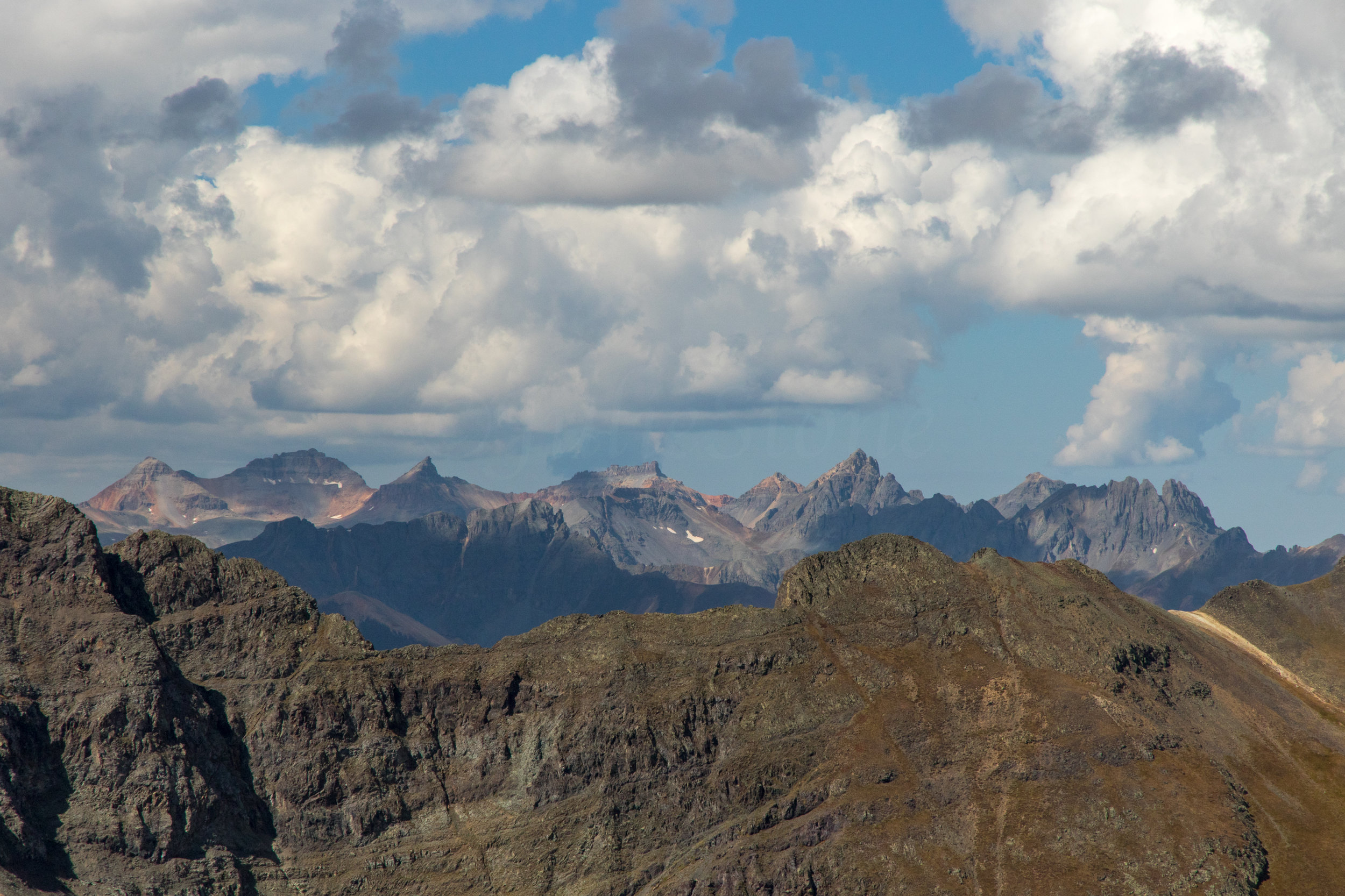
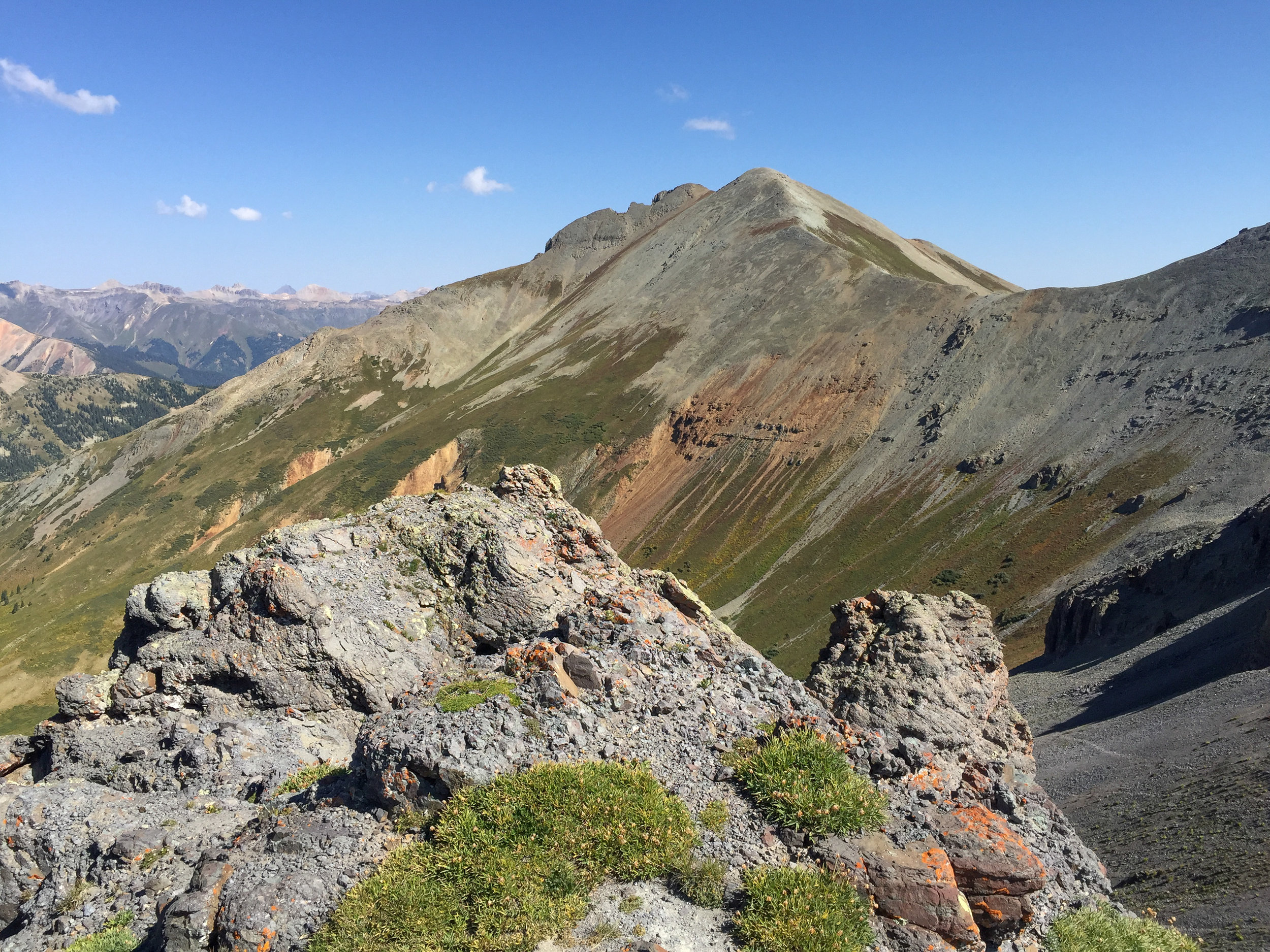
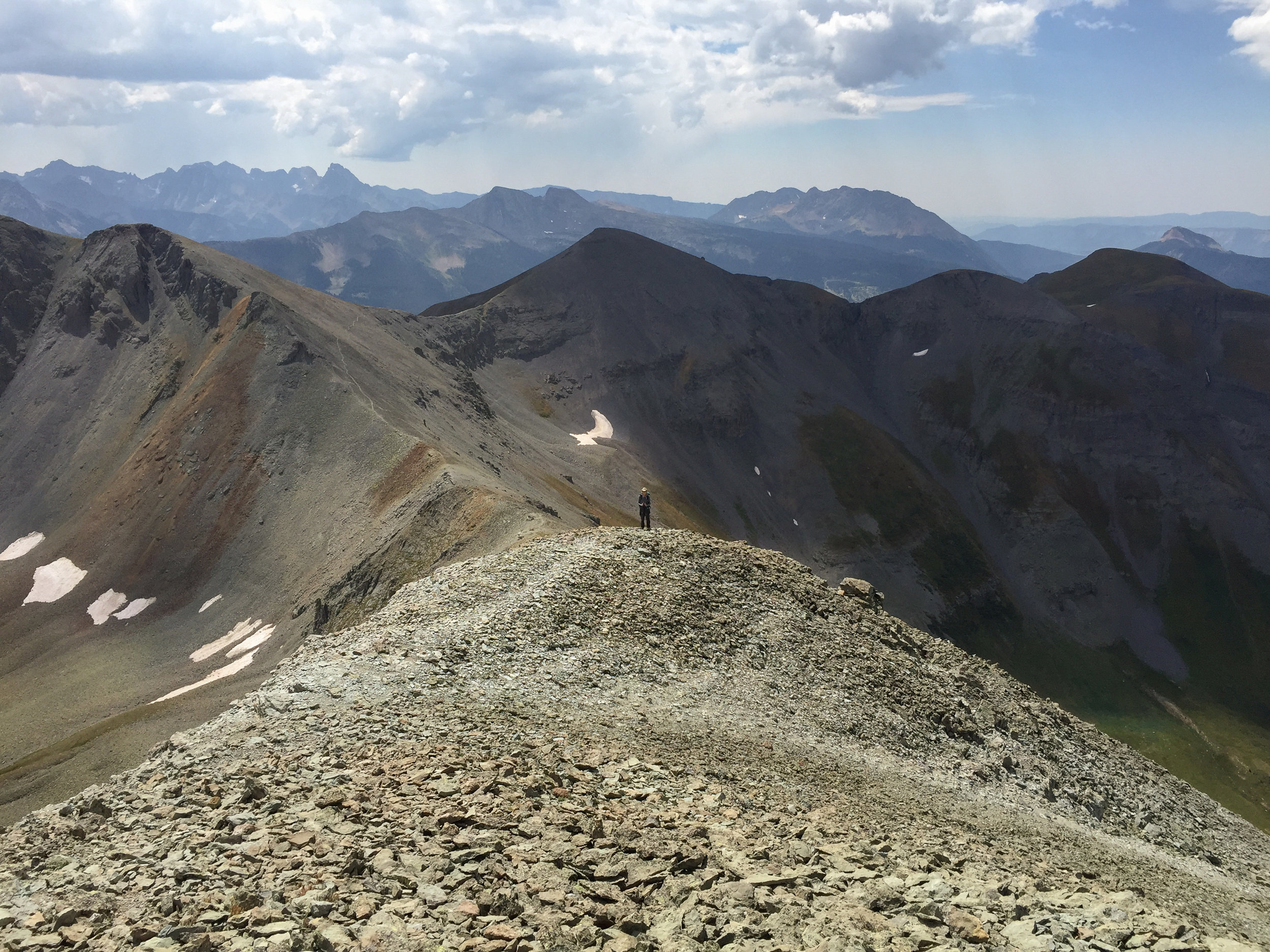
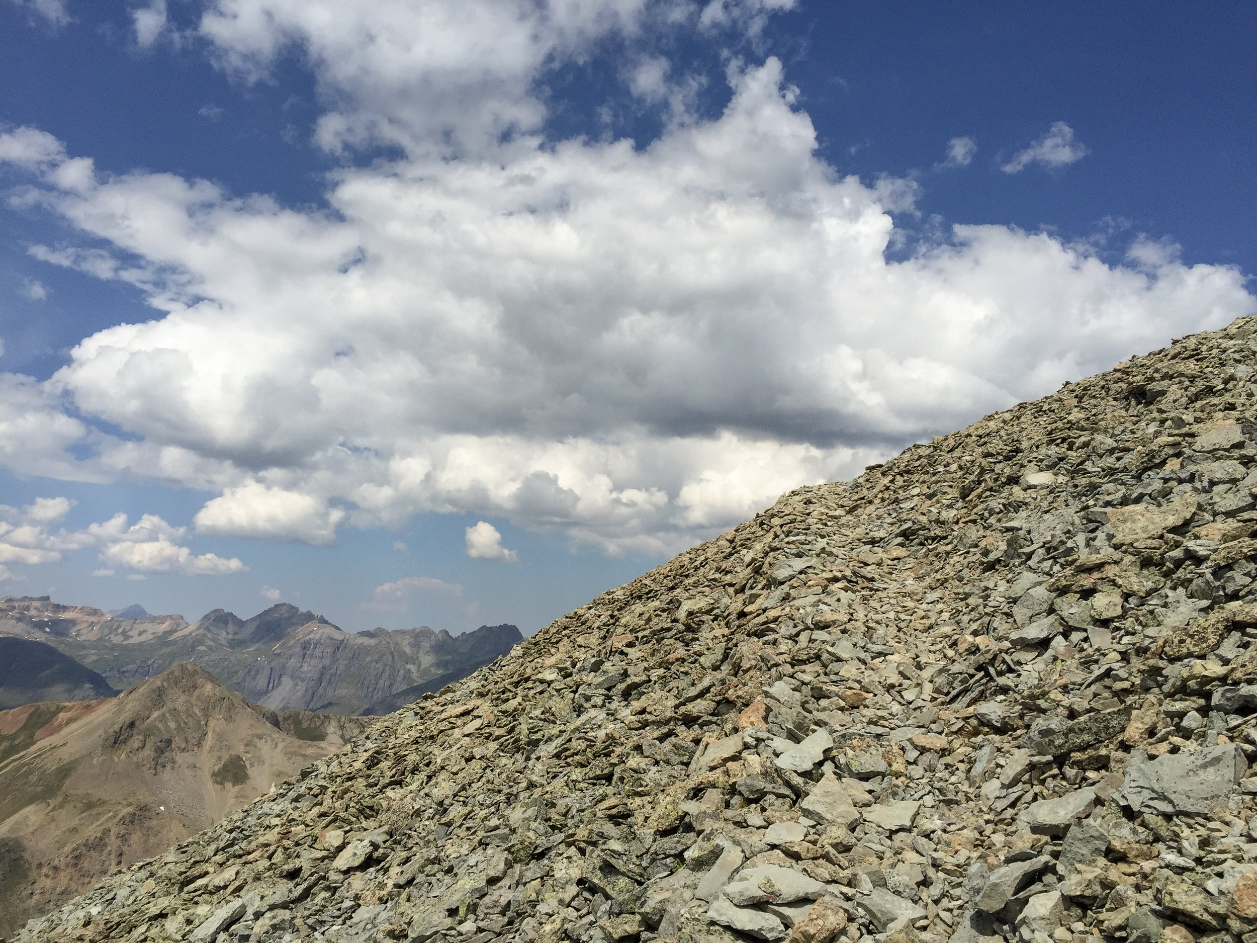
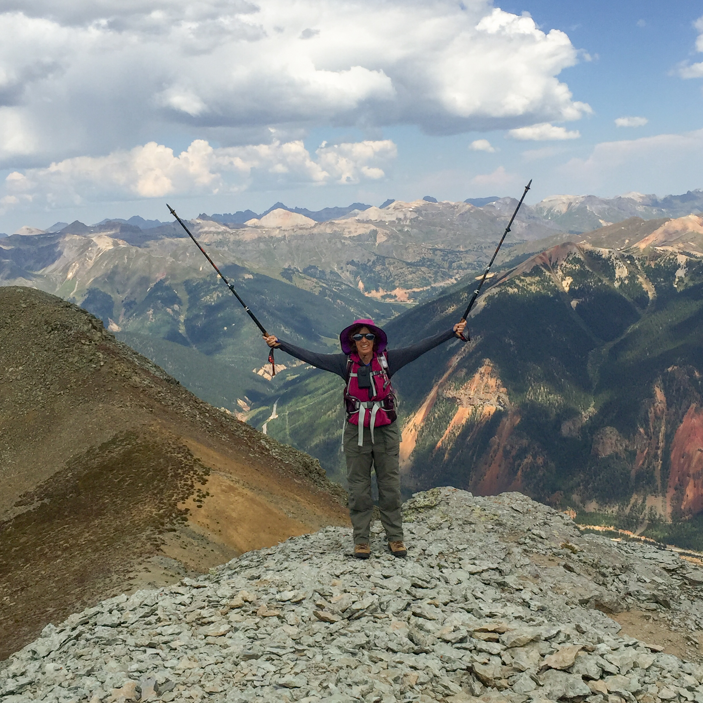
THIS MORNING PENNY, CANDY AND I STARTED OUT EARLY WITH HOPES OF SUMMITING BOTH SPENCER PEAK AT 13,087' AND SULTAN PEAK AT 13,368'. THE WEATHER FORECAST DID NOT LOOK TO BE IN OUR FAVOR TO TACKLE BOTH BUT WE STARTED OUR CROSS COUNTRY CLIMB UP INTO SPENCER BASIN AND FIGURED WE WOULD PLAY IT BY EAR. ONCE REACHING SPENCER BASIN AND AFTER CLIMBING THROUGH THE CHUTE, WE DECIDED TO HEAD DIRECTLY TO SULTAN . ALL THREE OF US MADE THE SUMMIT BUT WE DID SEE THE CLOUDS BREWING IN THE DISTANCE SO WE DECIDED TO FOREGO THE FINAL CLIMB TO SPENCER PEAK ON OUR RETURN. THE ALTERNATE MOXIE HIKE WAS ON THE COLORADO TRAIL BELOW US. SINCE ALL MOXIES OR I SHOULD SAY MOST CARRY RADIOS WE WERE ABLE TO ANNOUNCE OUR SUMMIT SUCCESS TO THEM. I'M SURE THEY WERE ALL BELOW ENJOYING LUNCH AND HAVING A FEW LAUGHS WHILE WE HIKED NONSTOP WITHOUT EVEN A LUNCH STOP FOR OVER 7 HOURS, CLIMBING OVER 3200' AND COVERING JUST OVER 8 MILES. THIS IS AN AMAZING HIKE WITH INCREDIBLE 360 DEGREES VIEWS THAT SHOULD BE ON EVERYONE'S BUCKET LIST TO DO AT LEAST ONCE.

SPECTACULAR SUMMIT VIEW. (YOU CAN SEE SILVERTON, CO IN THE VALLEY ON THE RIGHT)
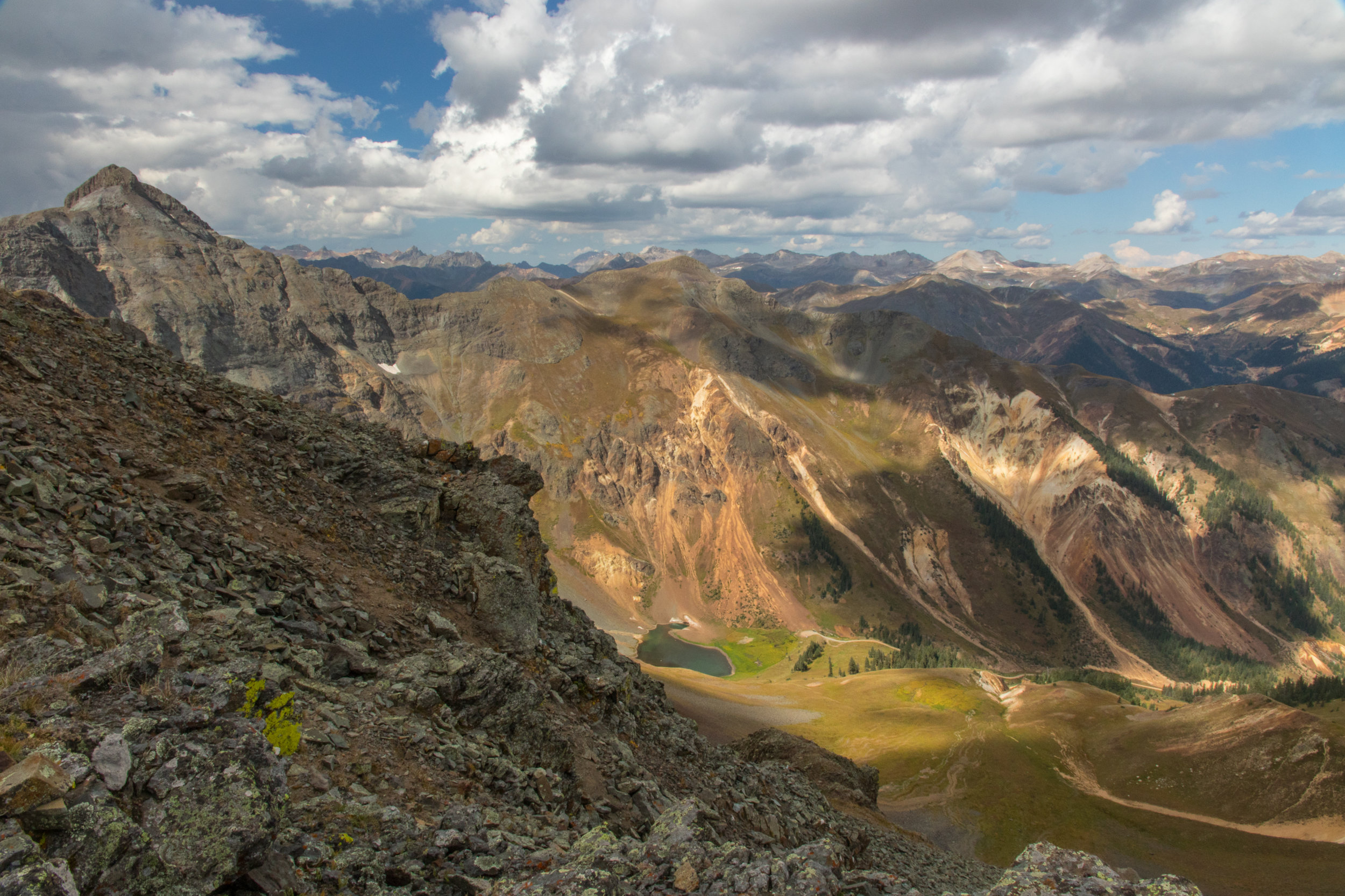
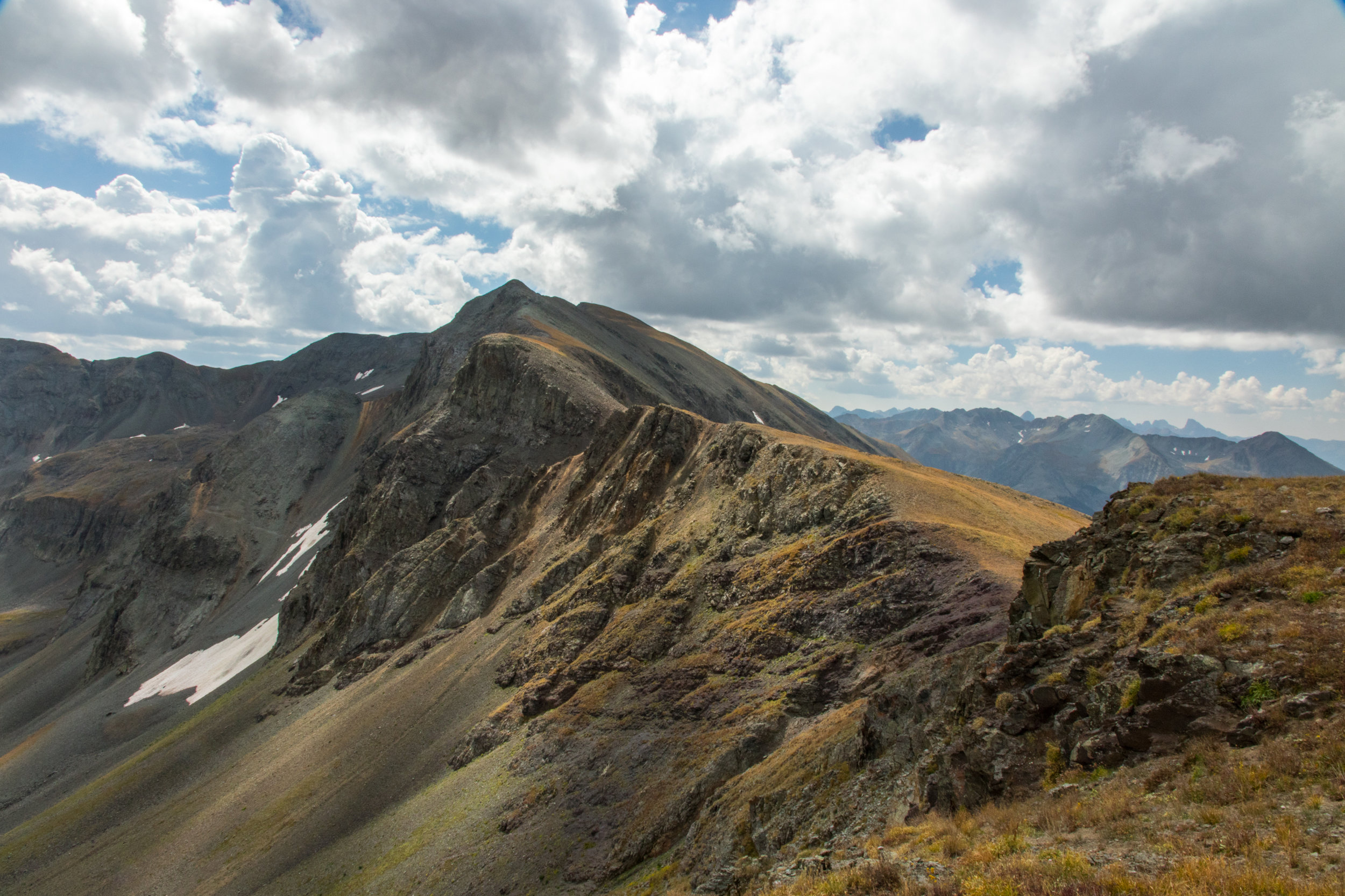
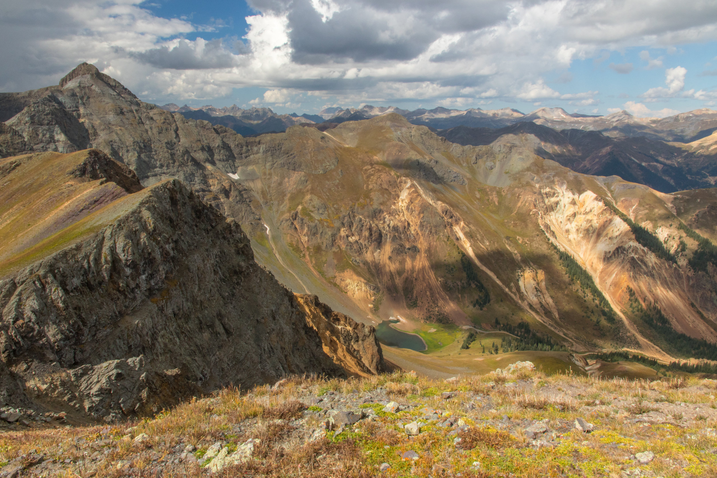
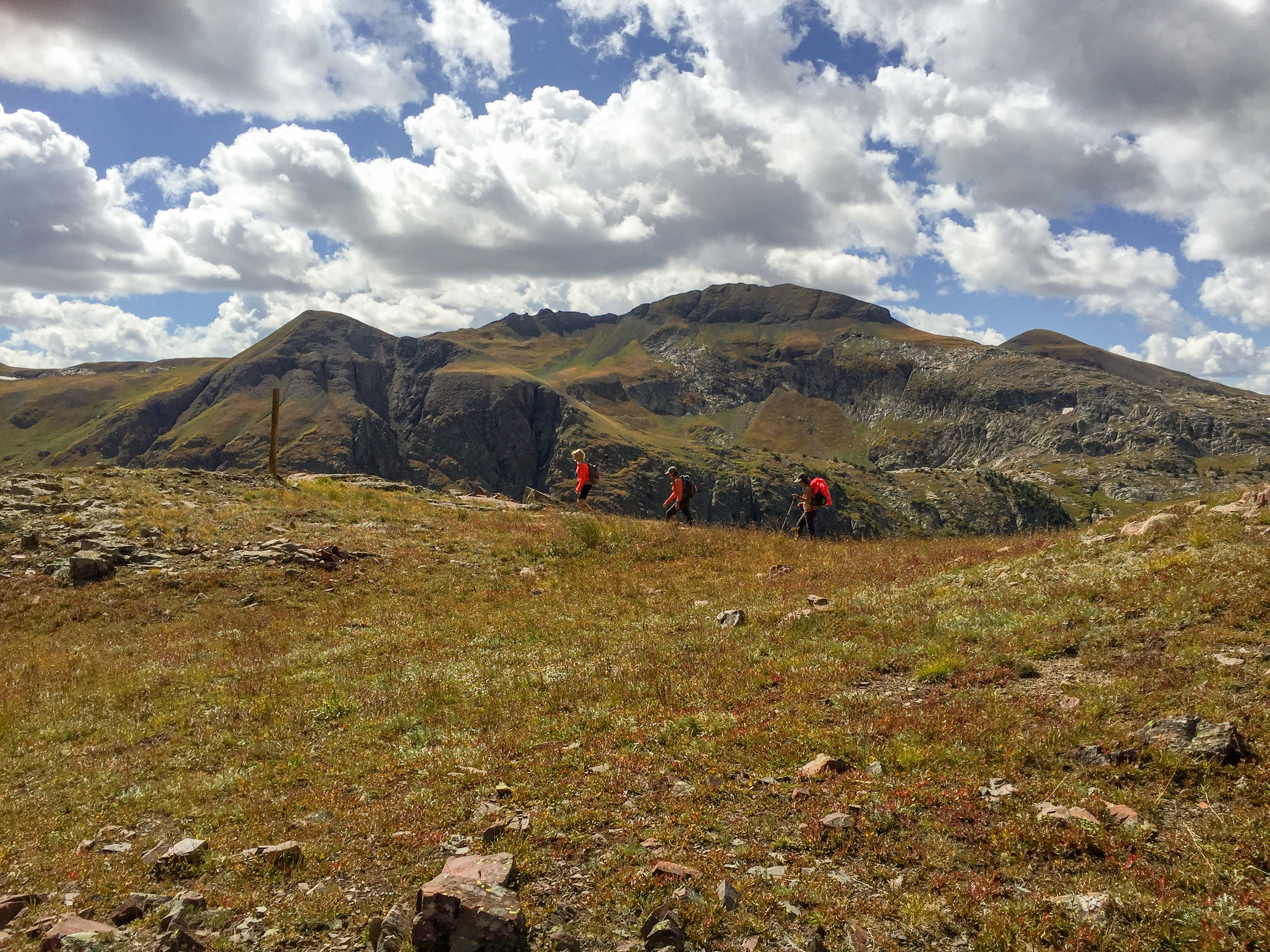
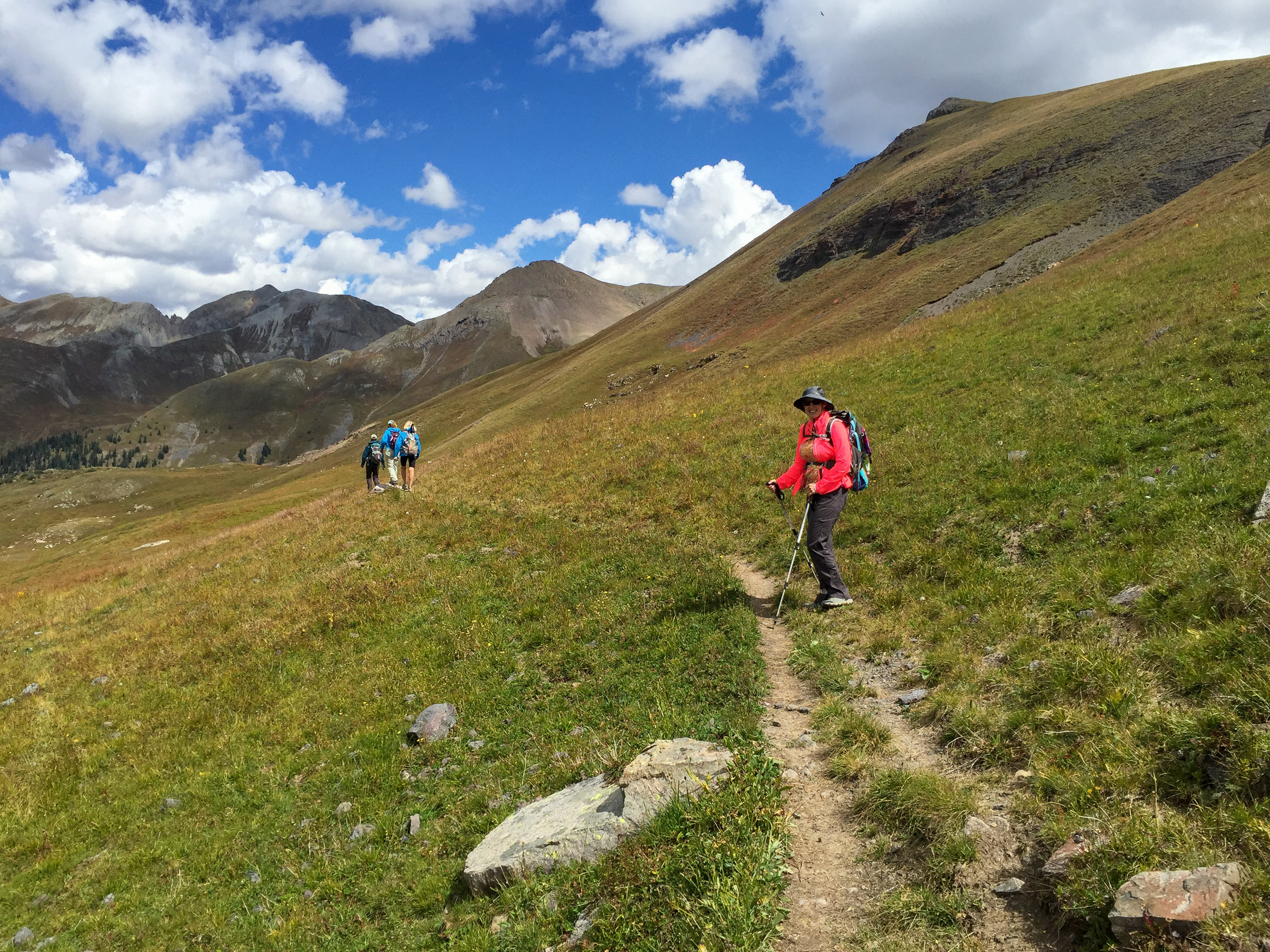
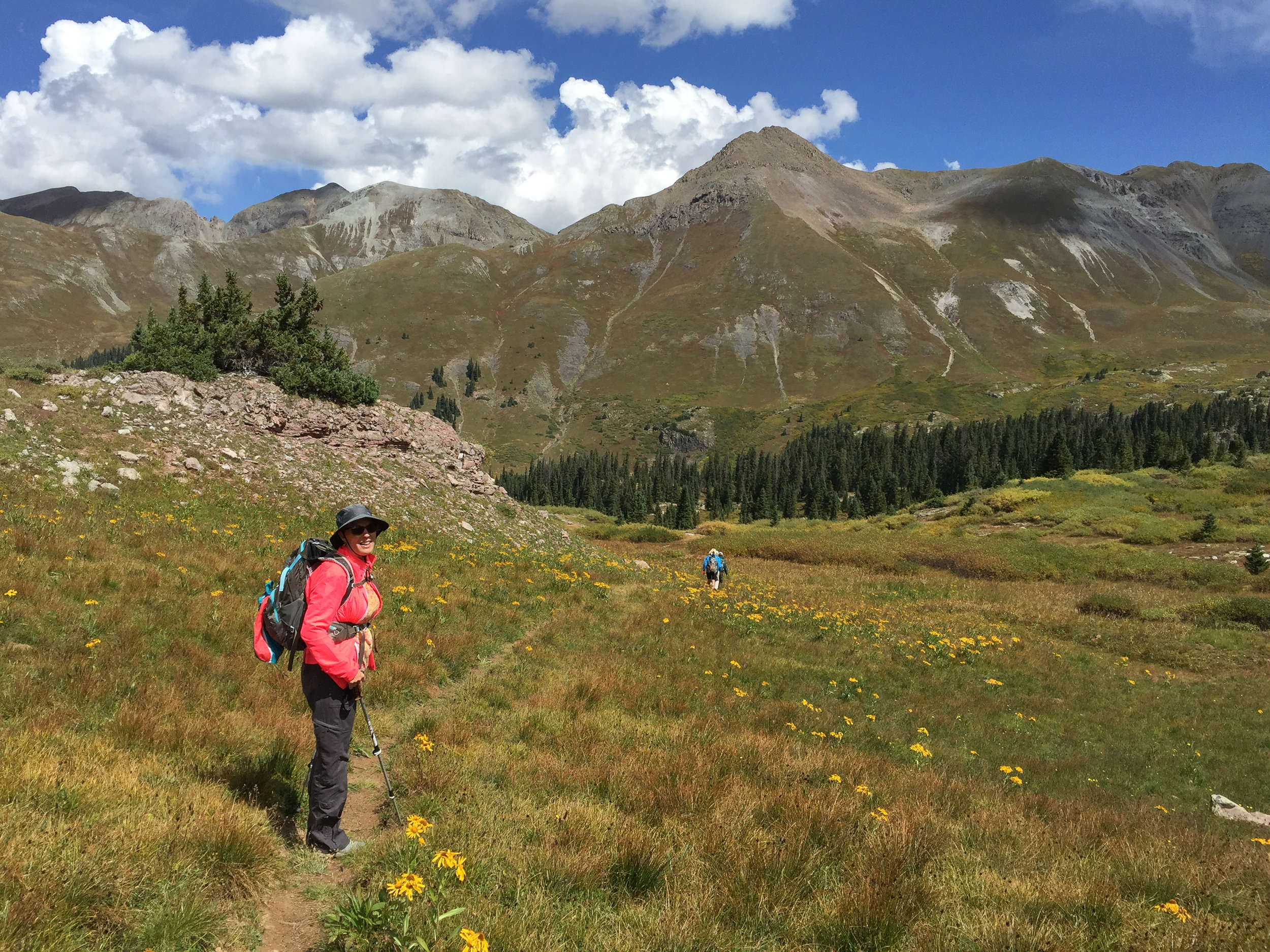
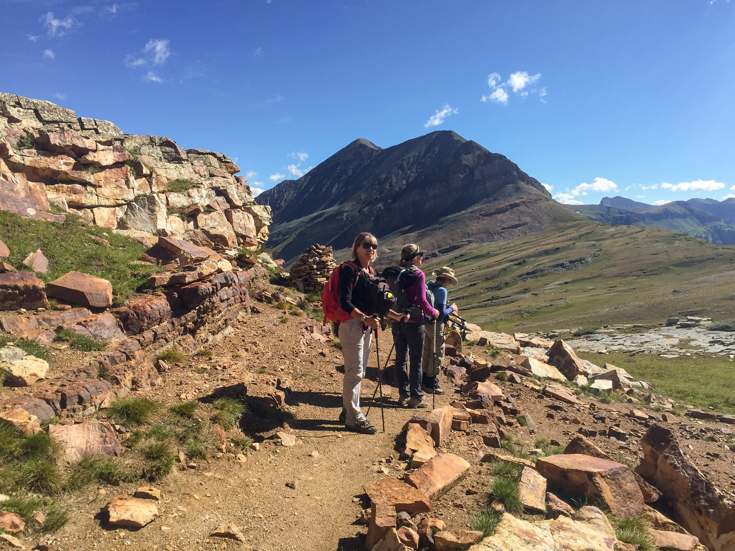
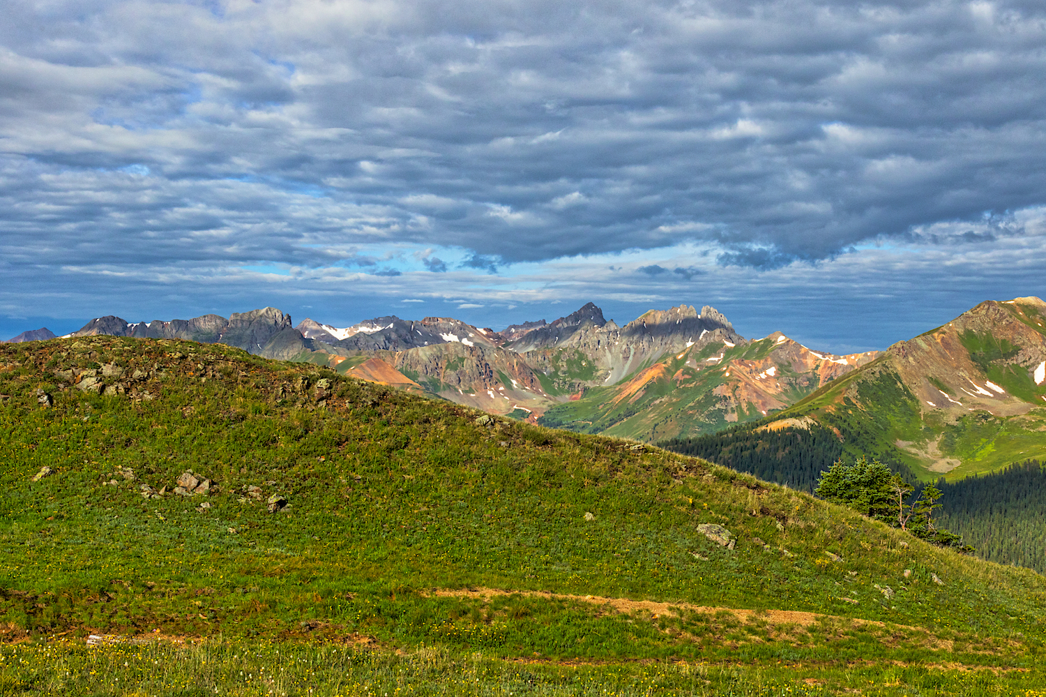
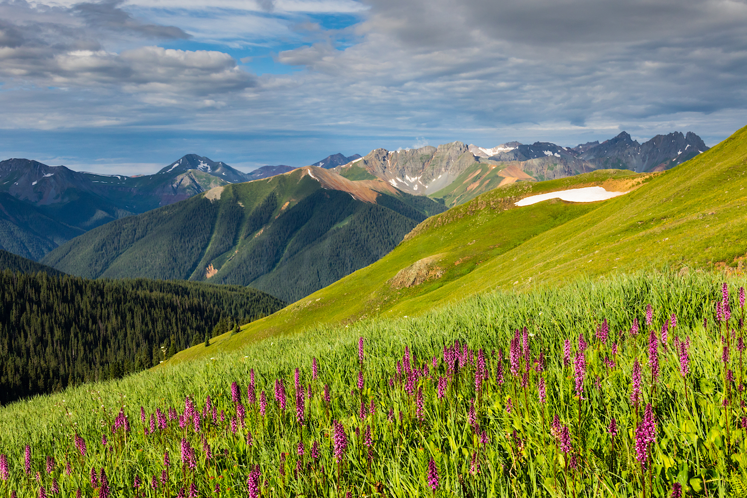
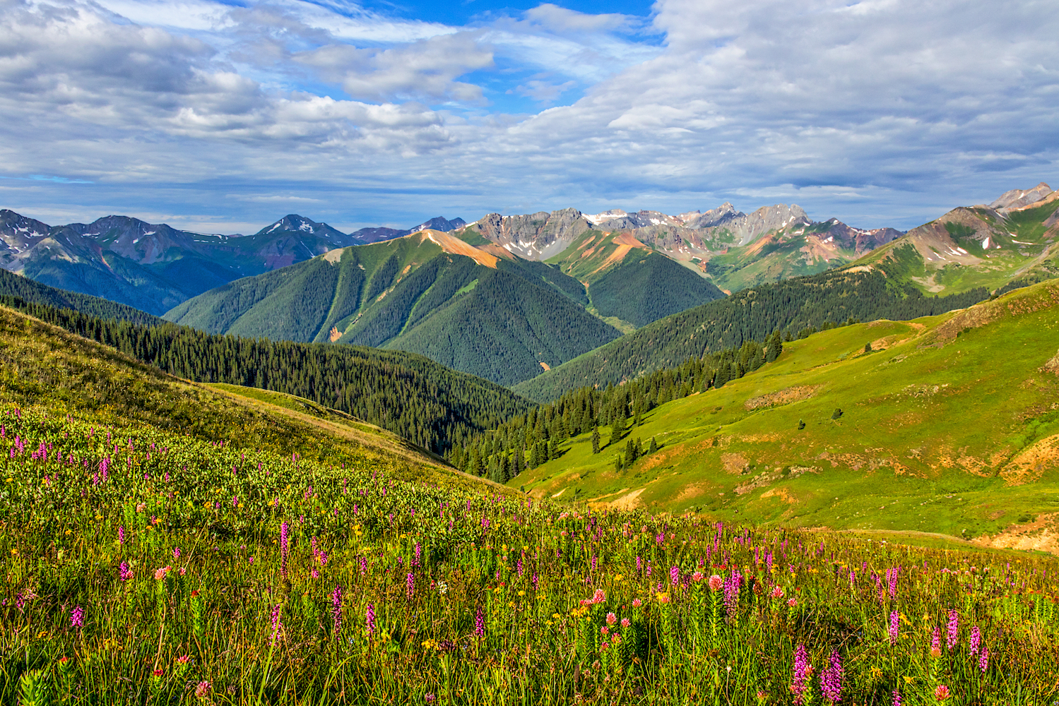
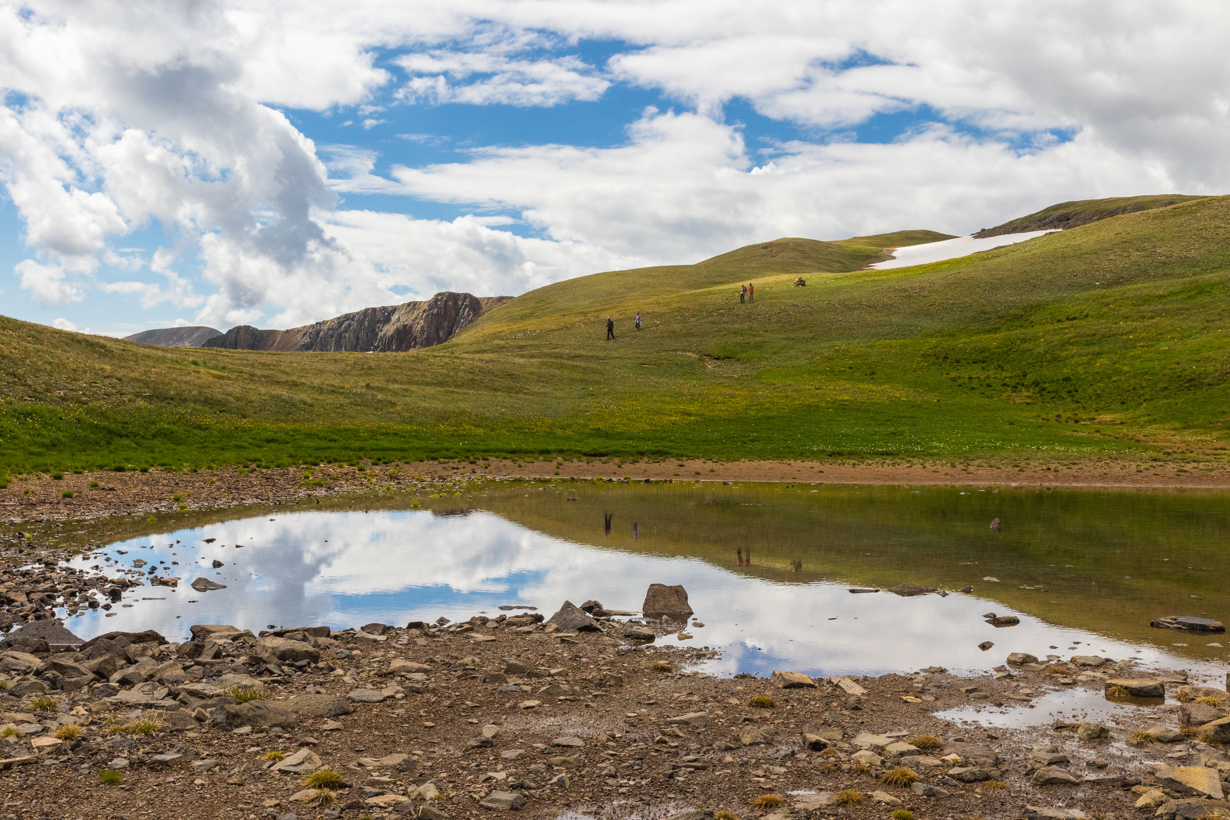
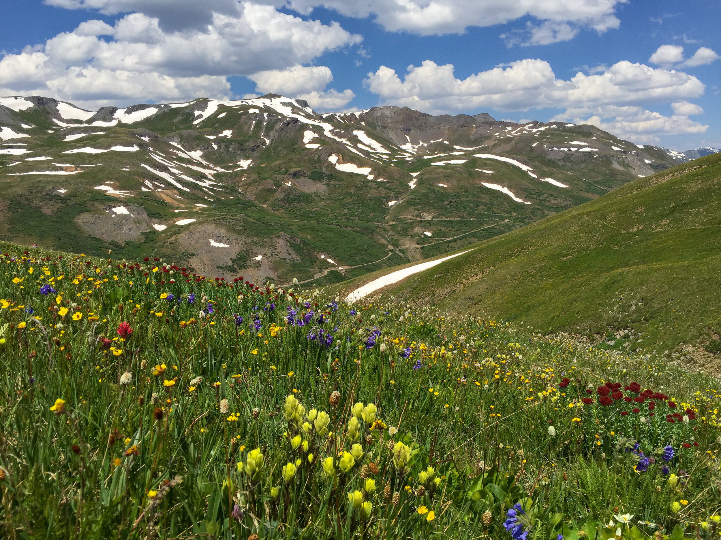
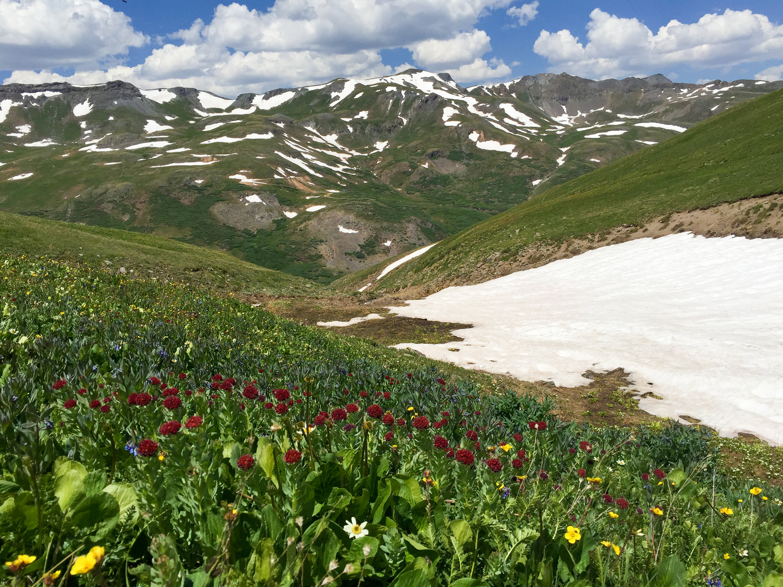
RICO-SILVERTON TO JURA KNOB
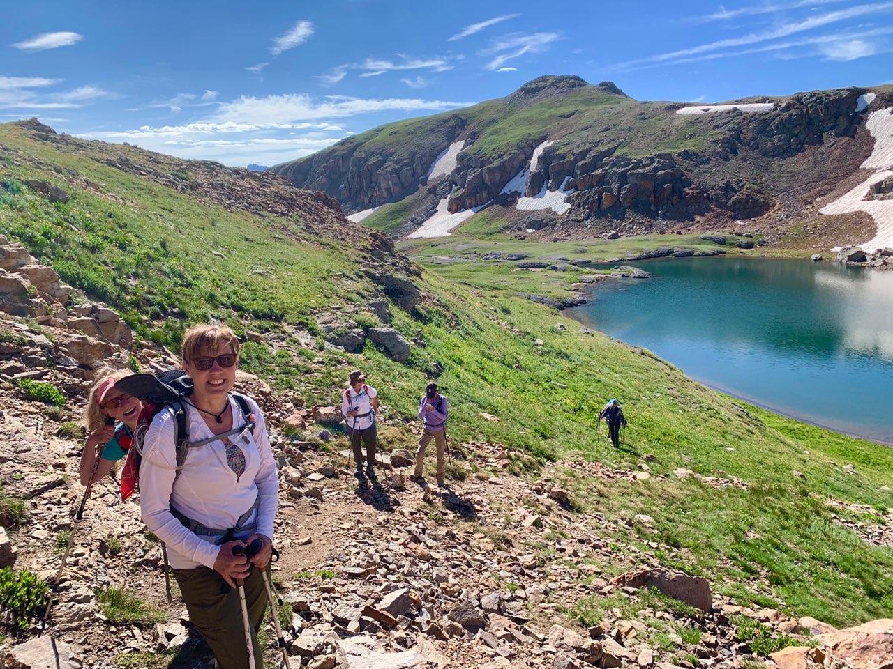
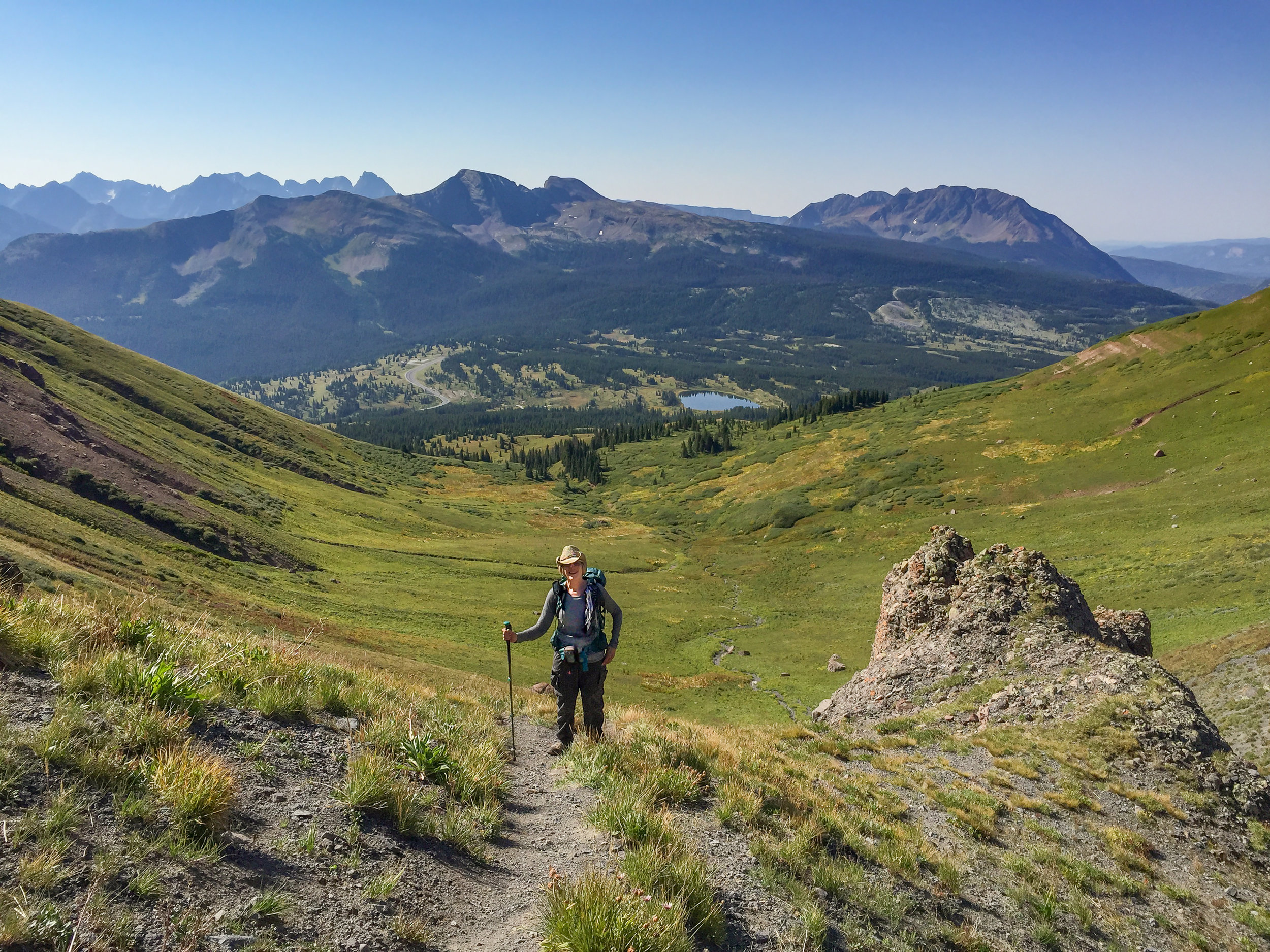
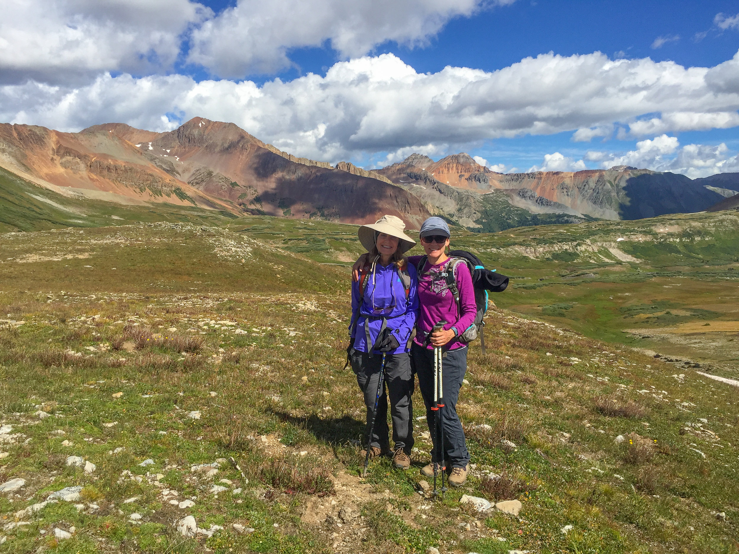
The Moxies, Lisa, Gina, MaryAnne, Penny, Nancy, Jill, Jane Marie, Marcie, Kyla, Mary and myself, enjoyed a mostly sunny day out on the trail. Our route options included Rolling Pass at 12,589' and 4.86 miles round trip and Jura Knob at 12,614' and 8.12 miles round trip. The Rico-Silverton trail starts at 10,659' with a creek crossing and moderately climbs through spruce trees until entering the meadow at .8 miles. The trail then climbs steeply up the valley passing waterfalls and wildflowers before reaching Rolling Pass. From the Pass it is another .3 miles along the Colorado Trail/Engineer Pass Trail. This section of trail didn't require any steep climbing as the trail meandered through rocky outcroppings and along a pond. After the pond, we left the main trail and made our own route to the summit of Jura knob which was another 1.53 miles. Both options rewarded the hikers with impressive views of the surrounding peaks. And guess what? I got time to eat my 1/2 Peanut butter and jelly sandwich today. It was a long day and thanks to our leader Lisa and our drivers: Jill, Mary and Marcie for all contributing to another great day in the mountains.
PANORAMA FROM JURA KNOB

MARYANNE, JILL, JANE MARIE & PENNY ON JURA KNOB
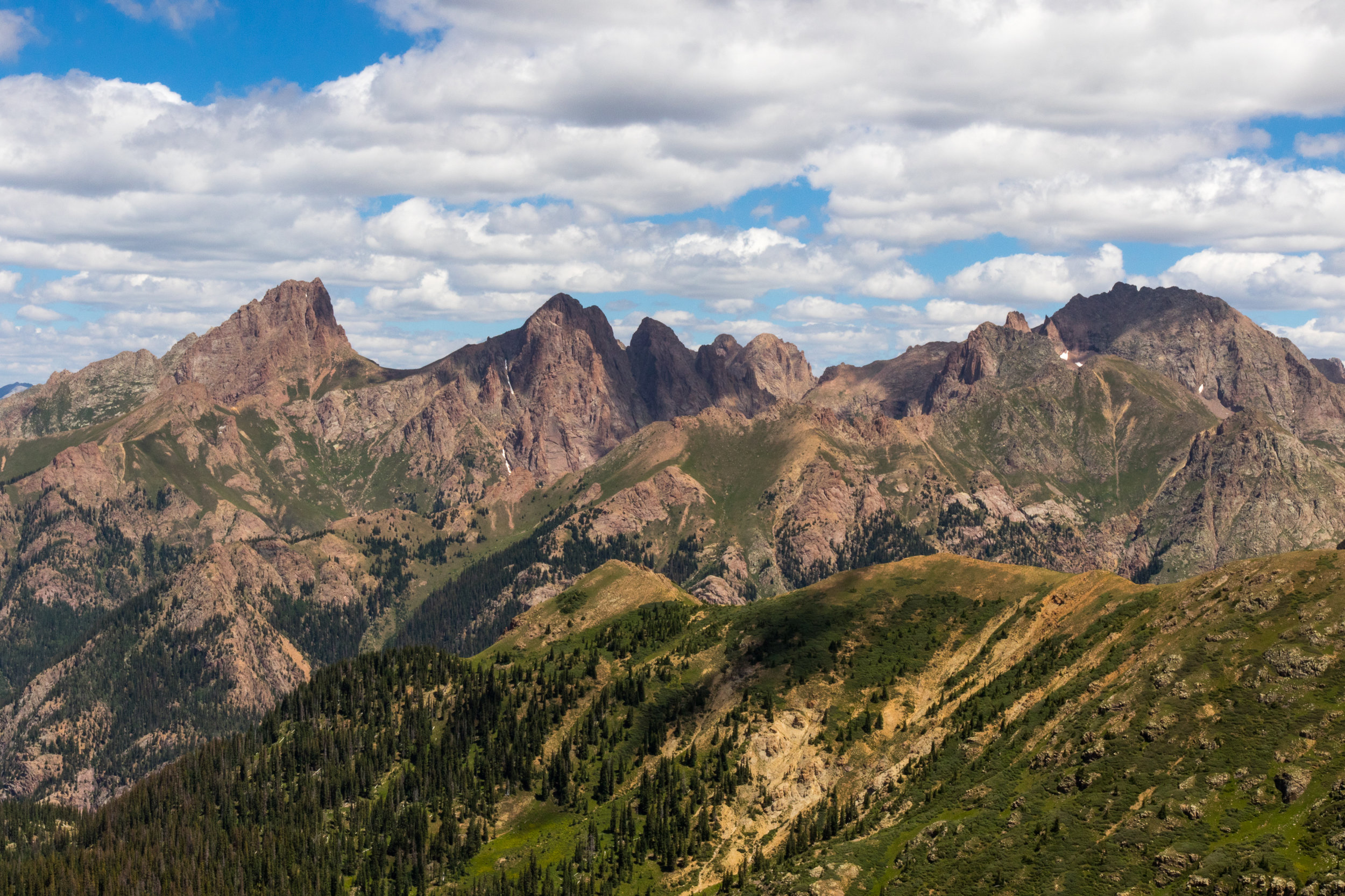
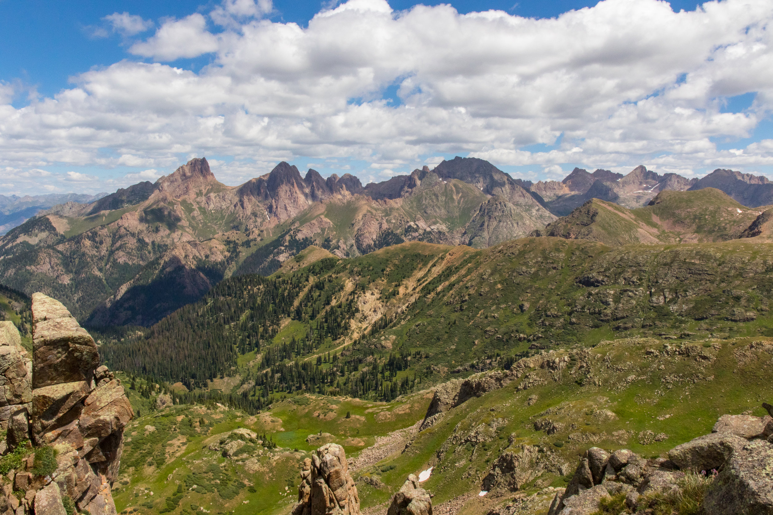
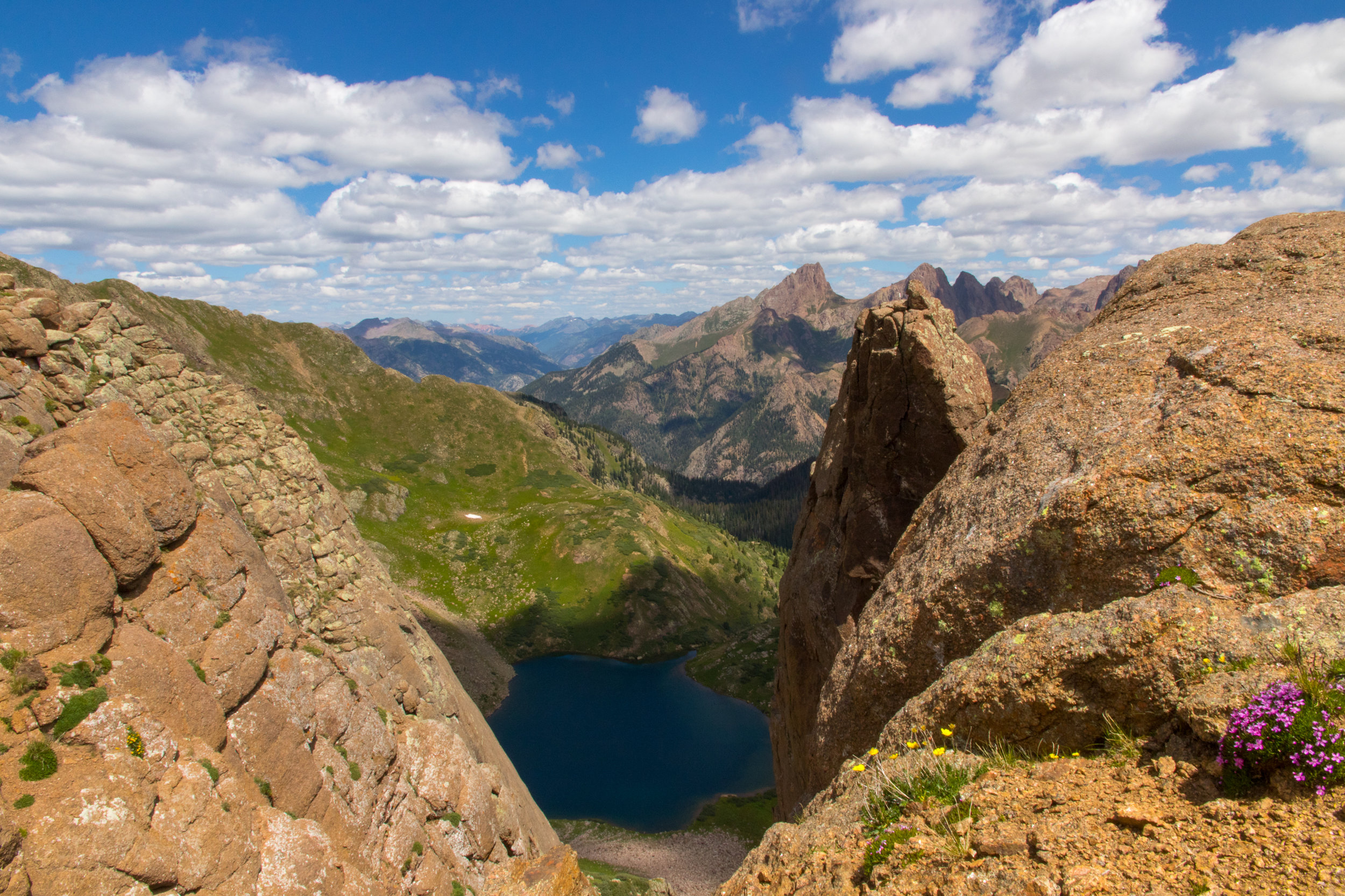
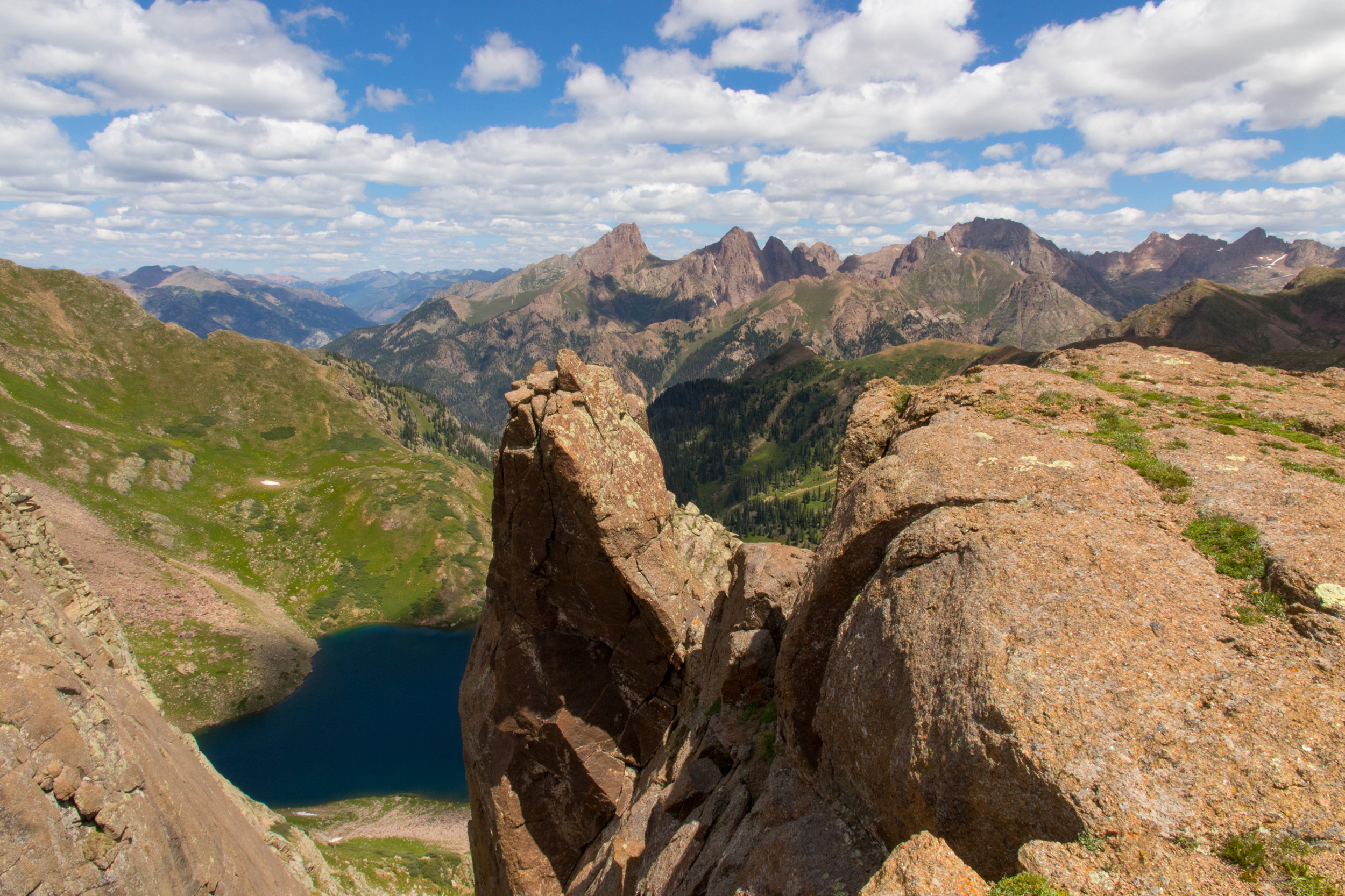
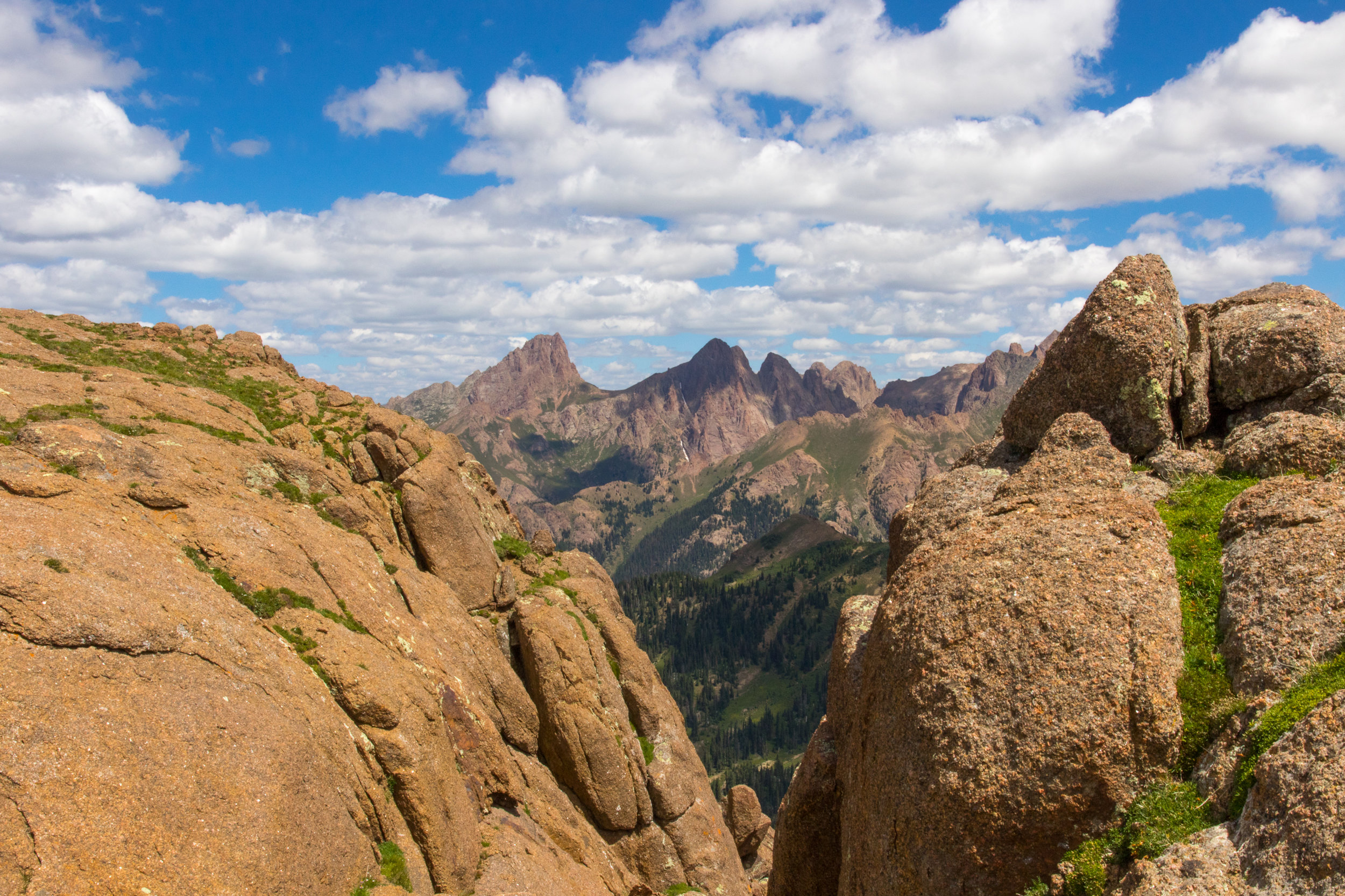
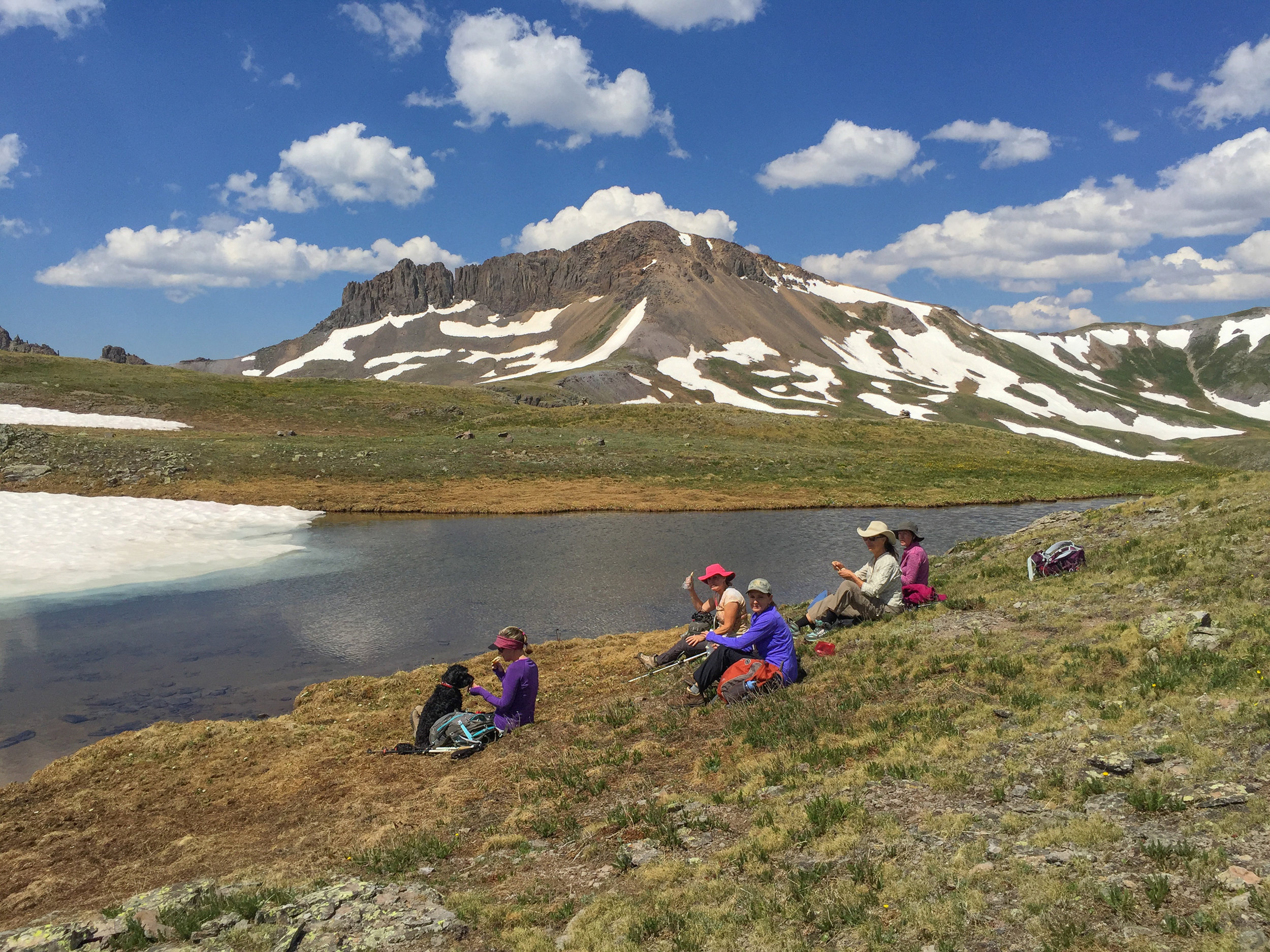
MOUNTAIN VIEW CREST
Barbara Larson successfully tackled leading the Moxies on a hike that we all love but dread to due the fact we always get lost and its a long drive on a rutty gravel ground. I'm not sure how many leaders we really had on this hike but we all had our maps and opinions in effort to make sure we stayed on the correct route. Once we reached the saddle and the first rise up the ridge this hike rewarded us with some of the most dramatic views in Colorado. Pidgeon and Turret Peaks loomed within reach while Ruby and Emerald Lakes laid quietly below in Needle Creek Valley. For the first time in weeks we were able to enjoy the day without threat of stormy weather. With that being said, I still did not get to sit and enjoy my lunch. So, I hope you all enjoy these posts because I am starving to death because of getting the photos for them. Our Moxie team consisted of Barbara, Mary Ann, Glenda, Candy, Lillian, Laurie, Toby, Connie and myself. We all agreed that this was the most enjoyable and easiest day of hiking Mountain View Crest as we did not get lost and although tired everyone made it home safe and sound.
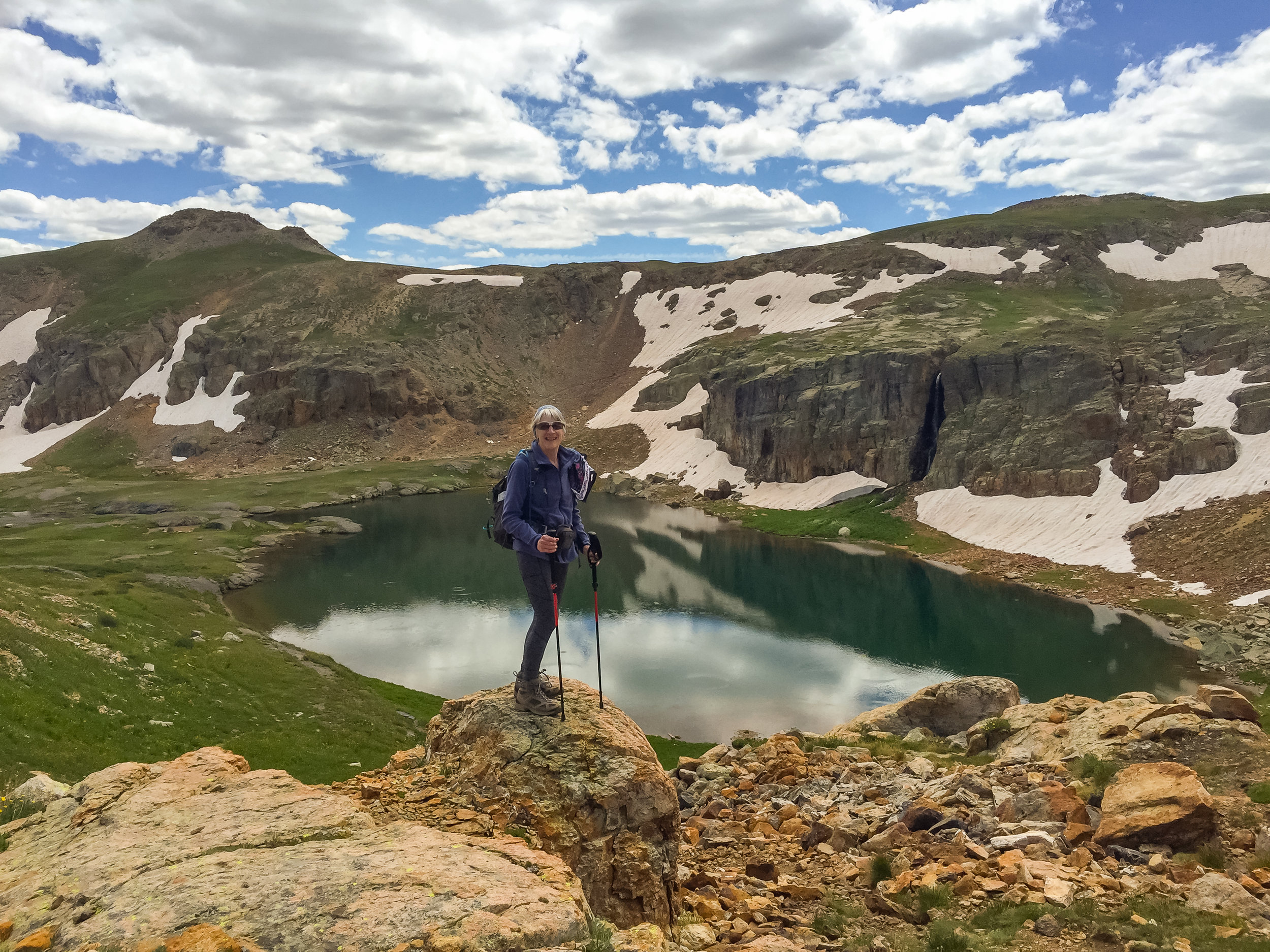
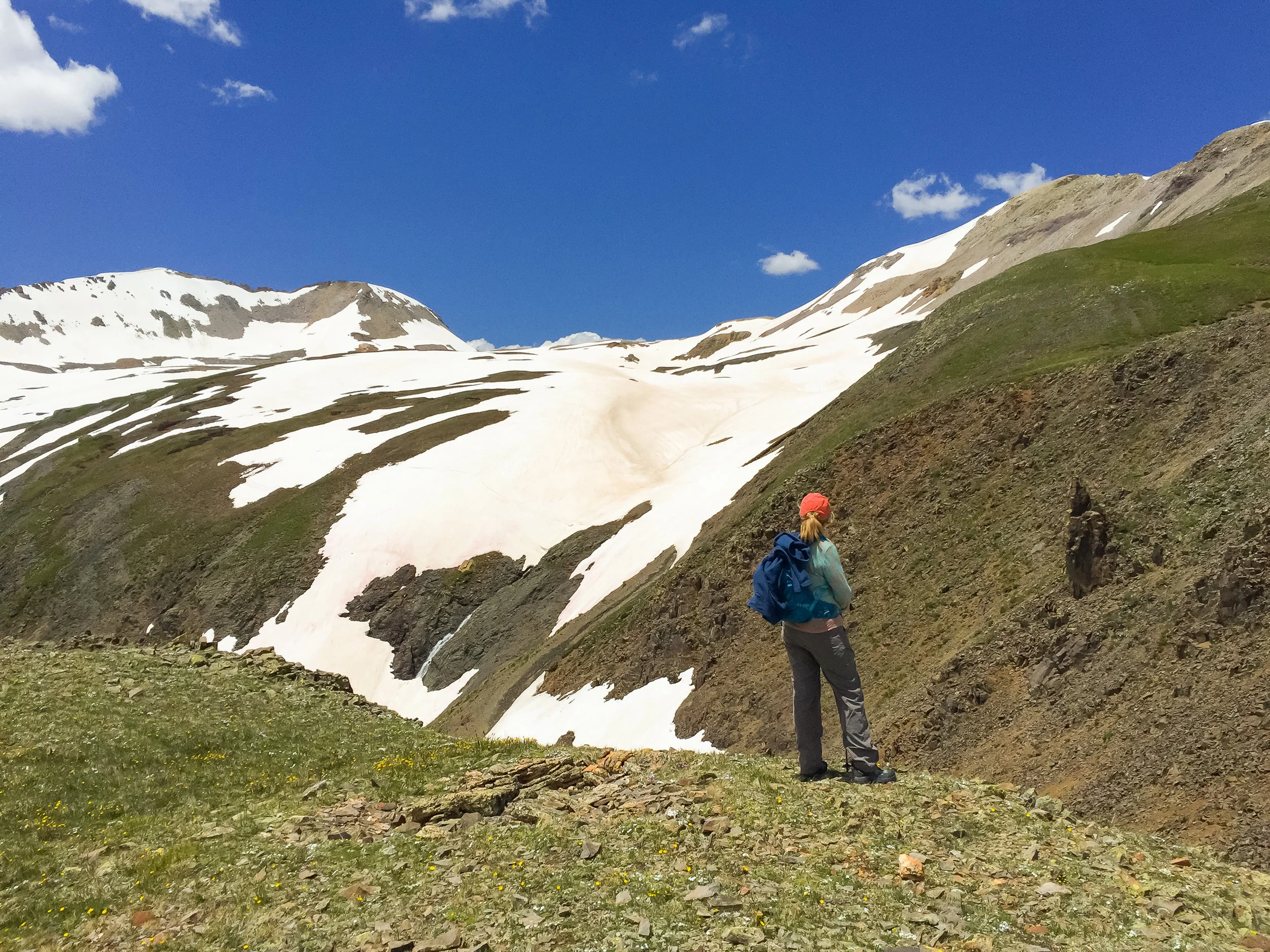
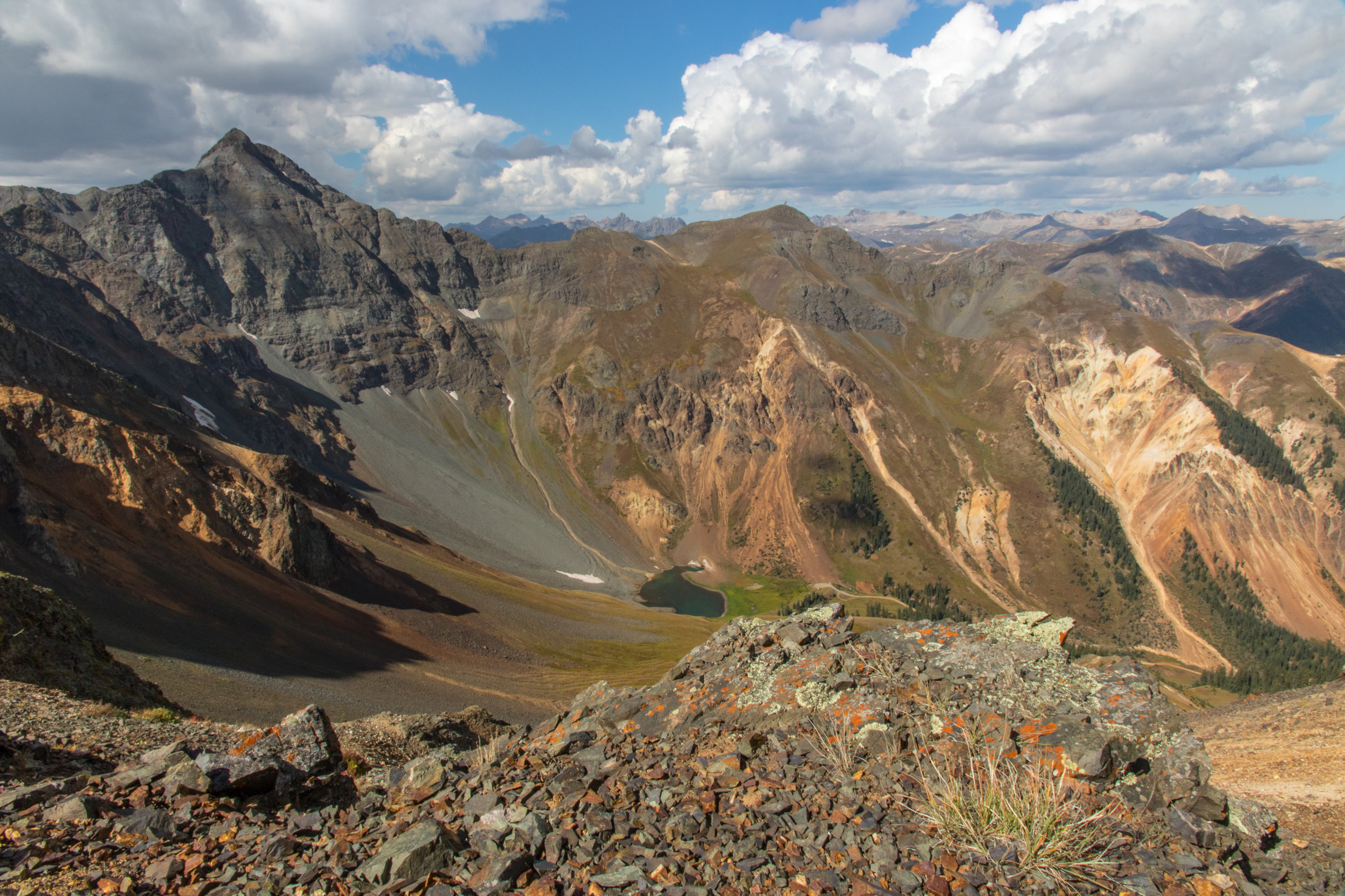
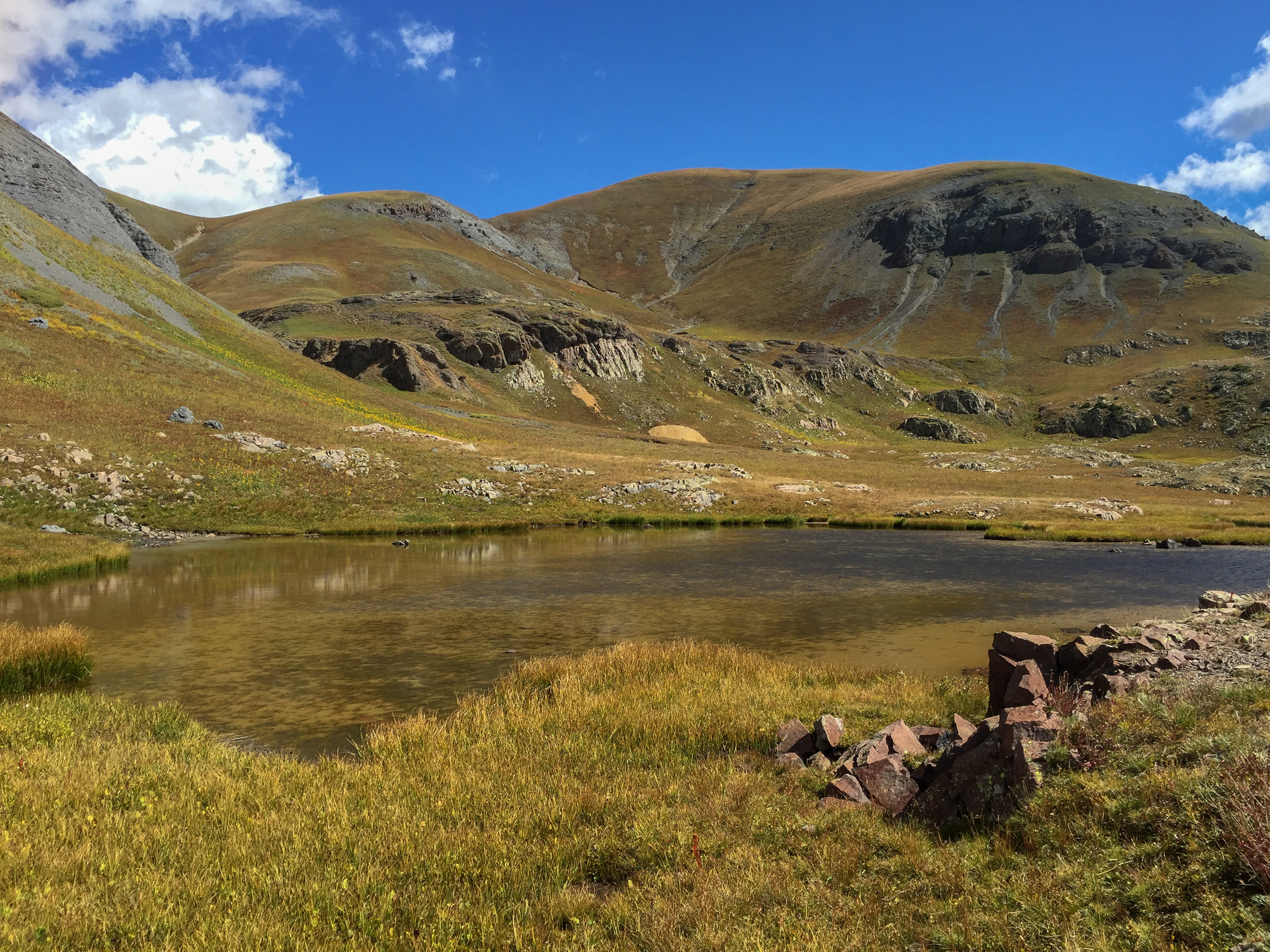
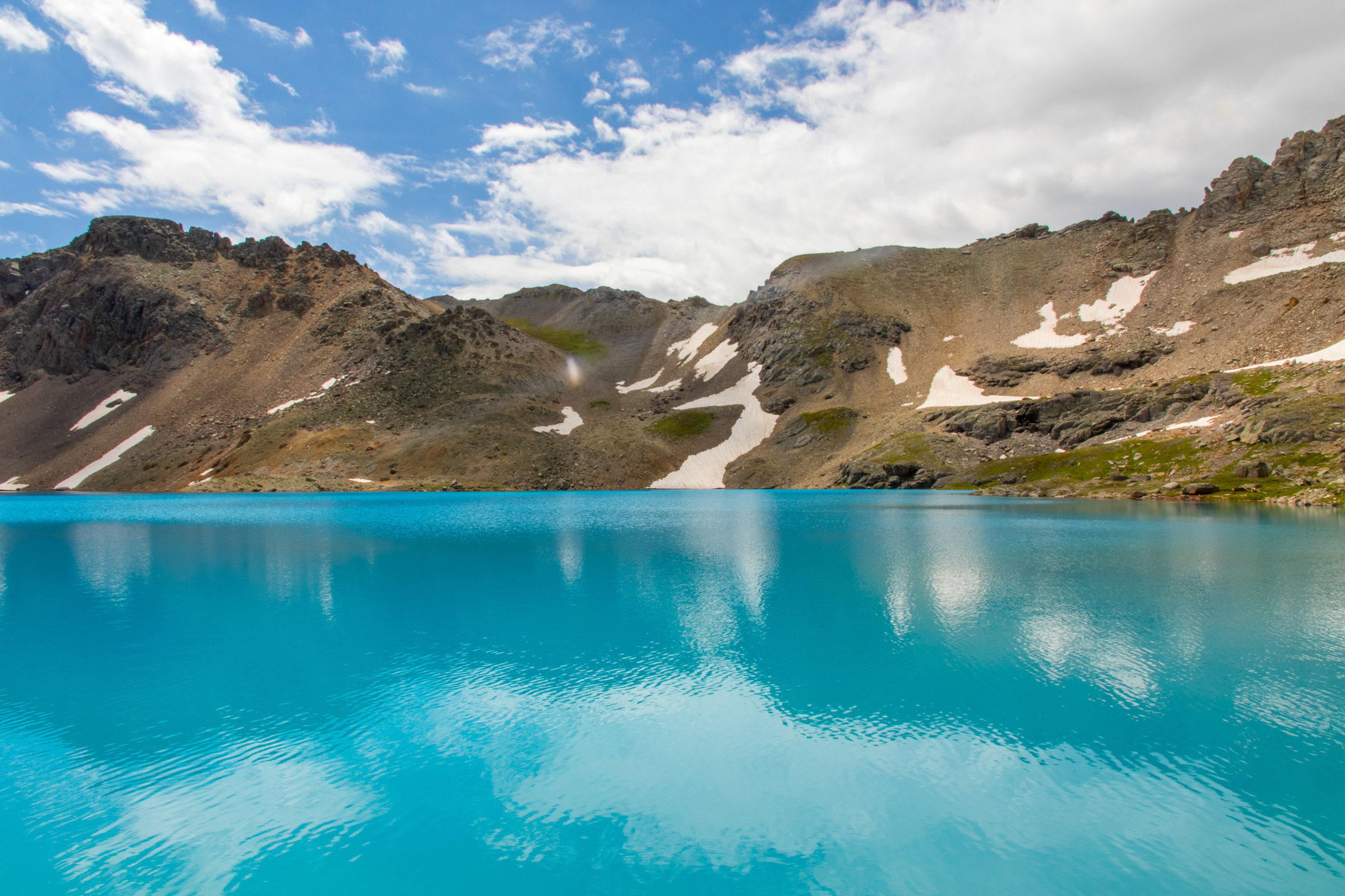
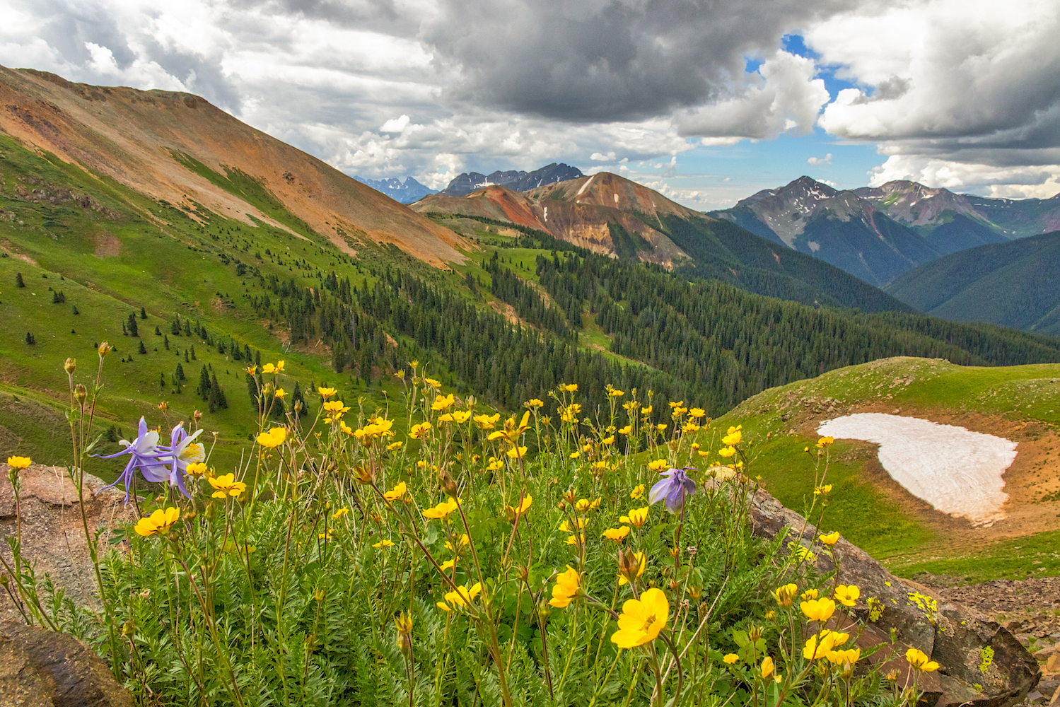
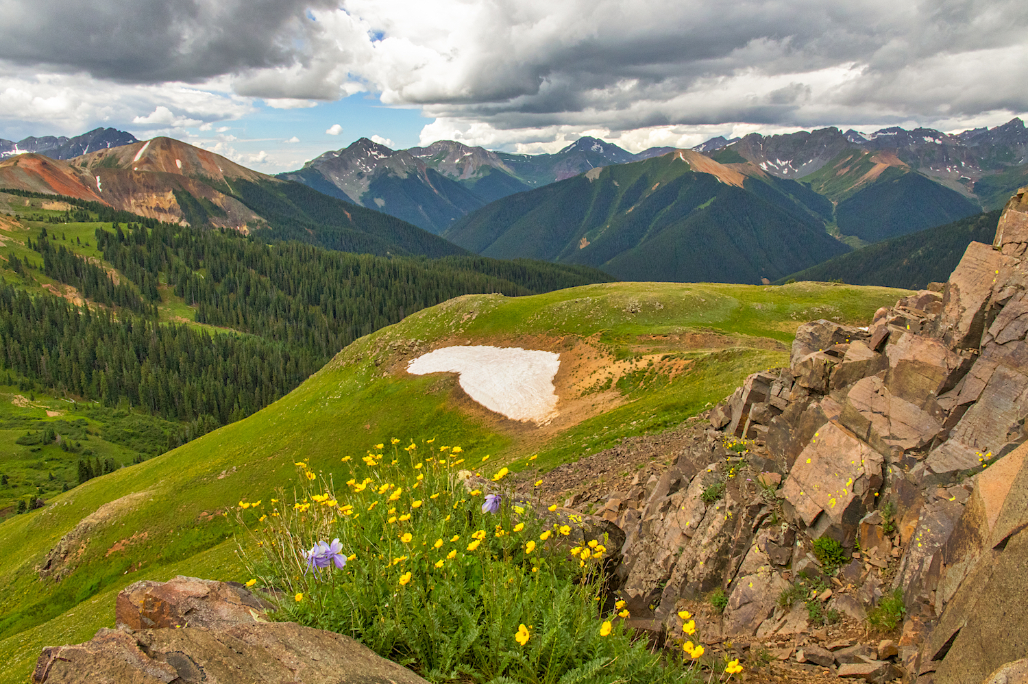
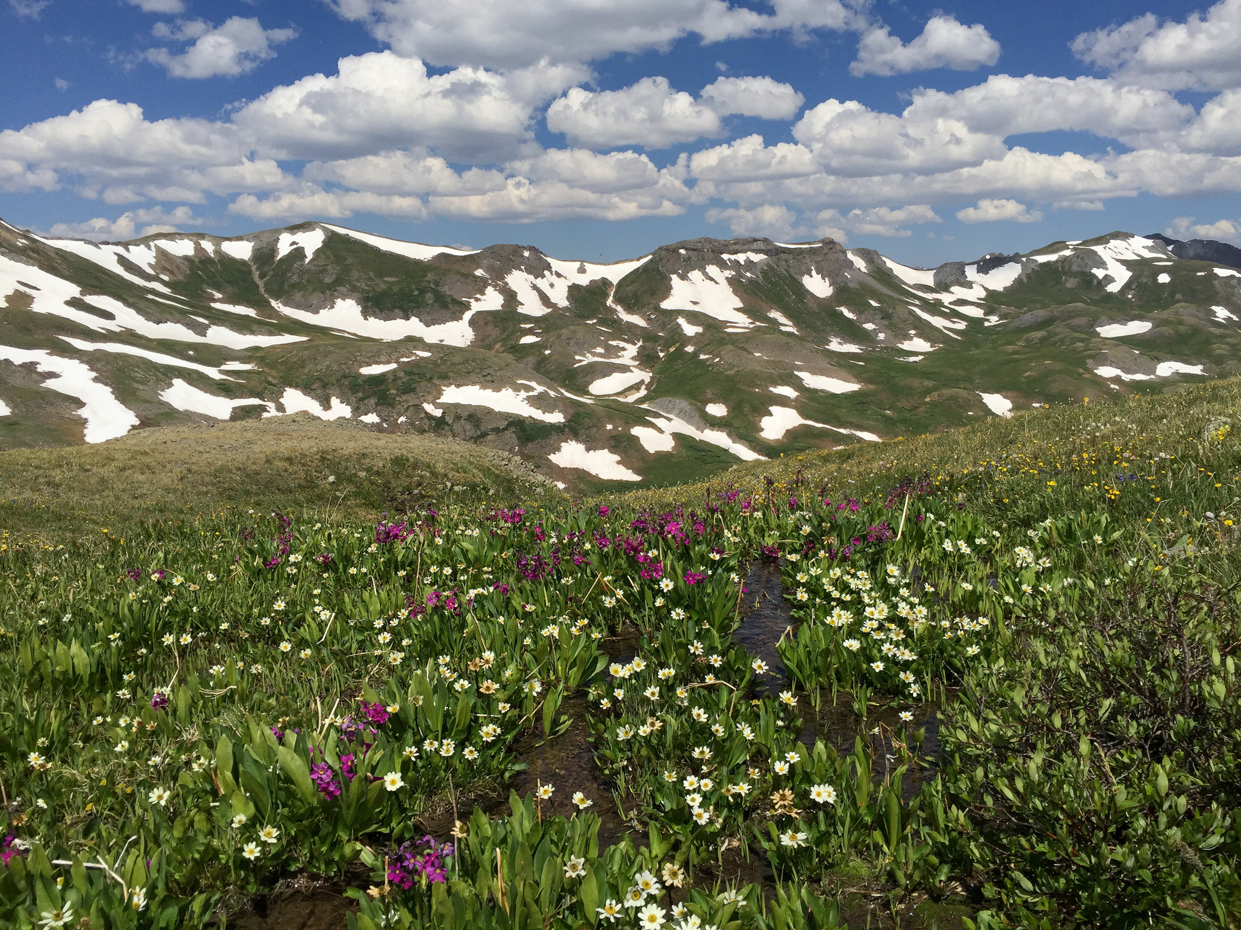
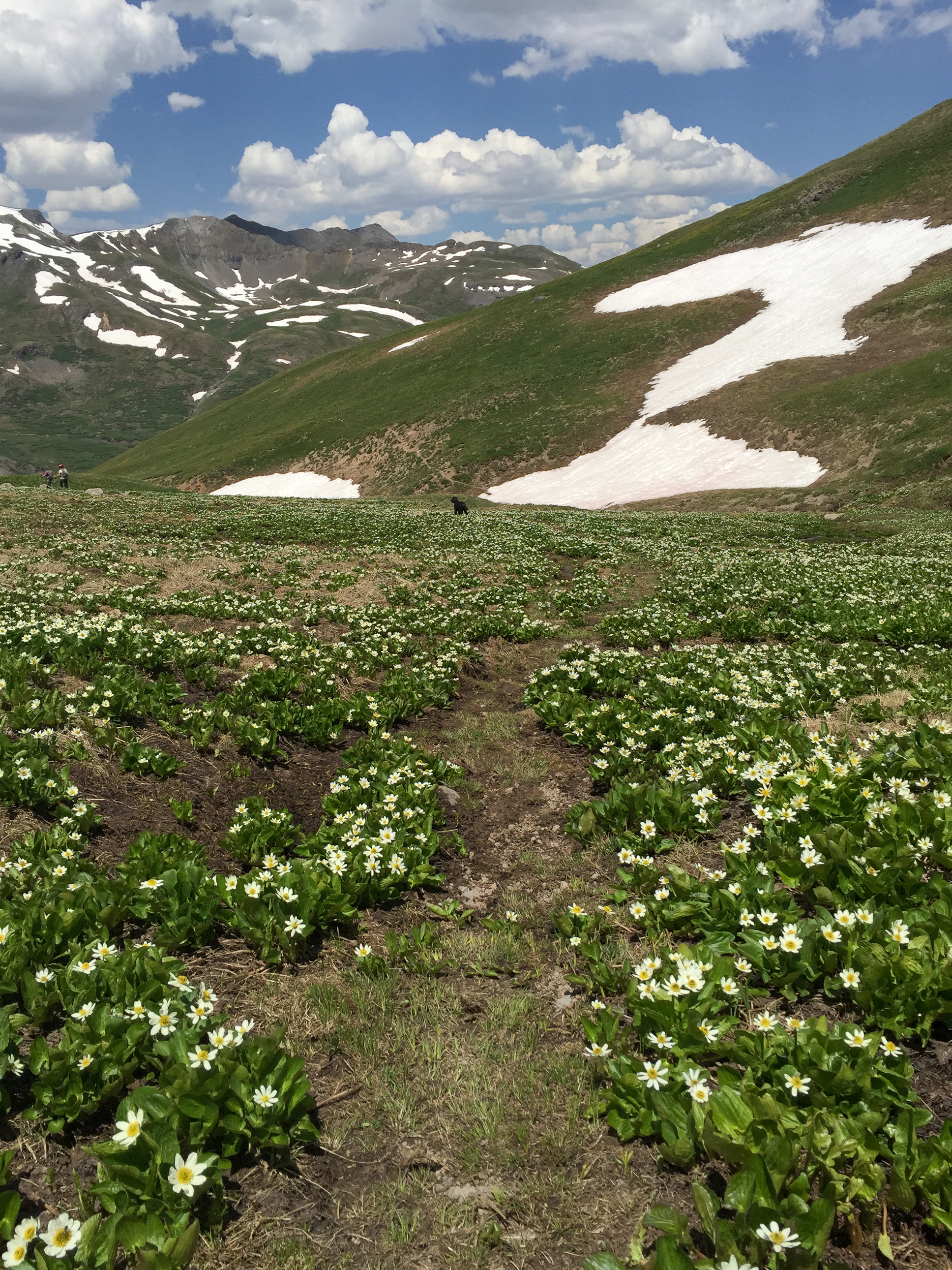
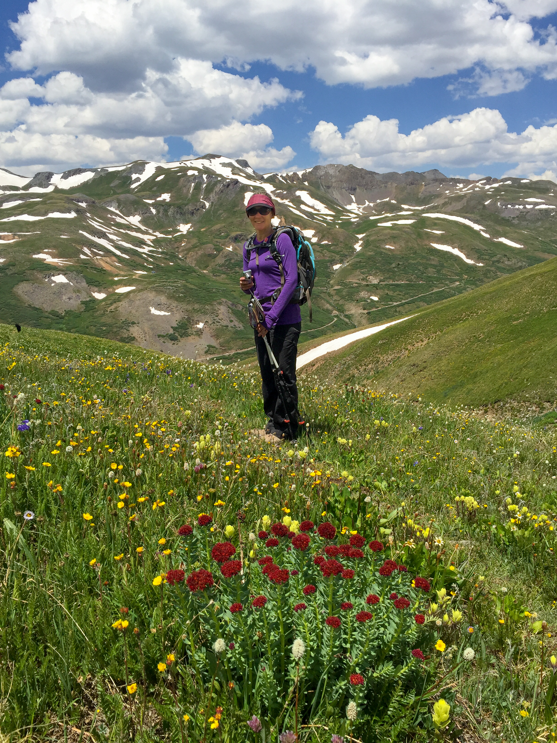
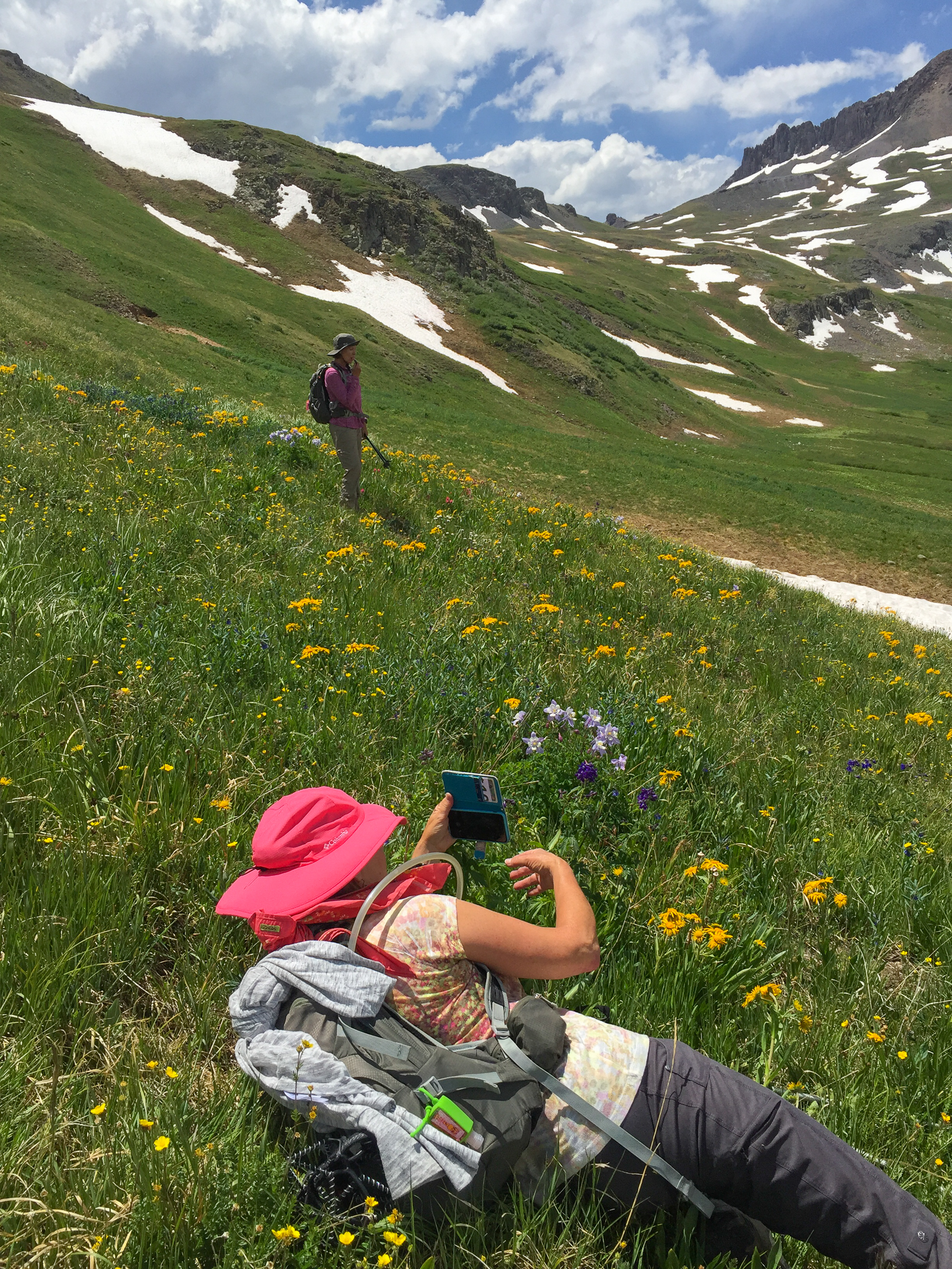
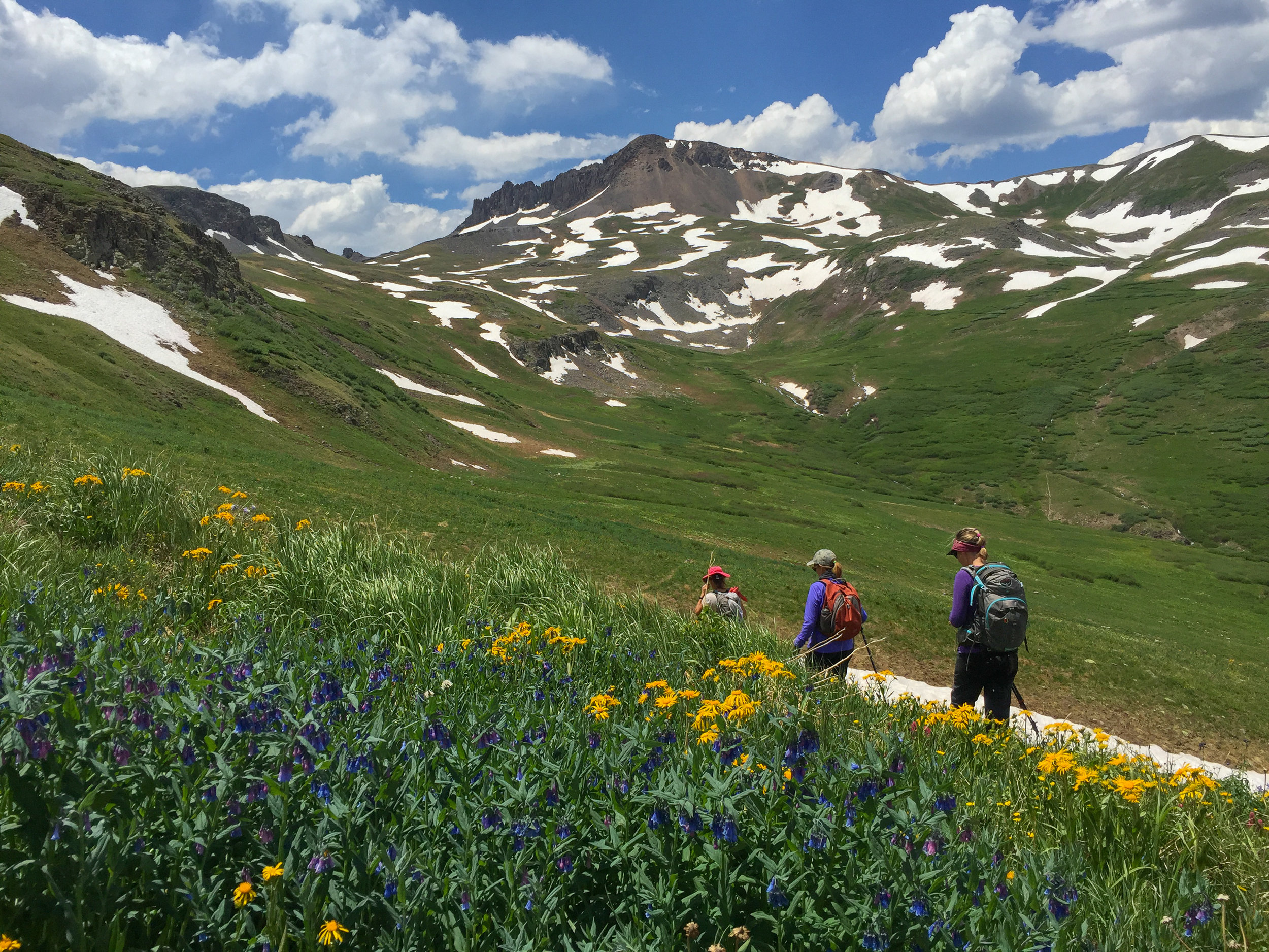
PORPHYRY BASIN TO COLUMBINE LAKE
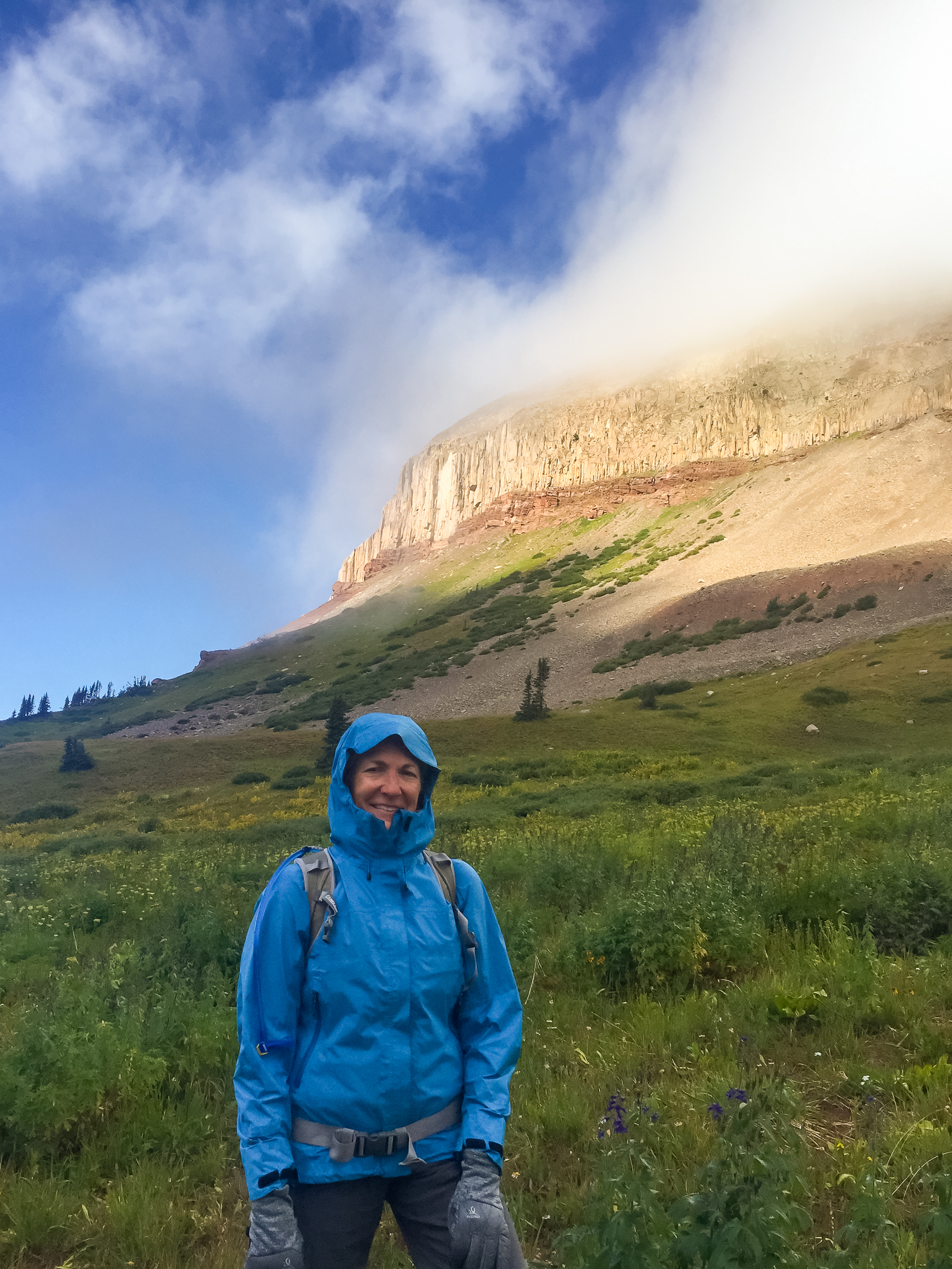
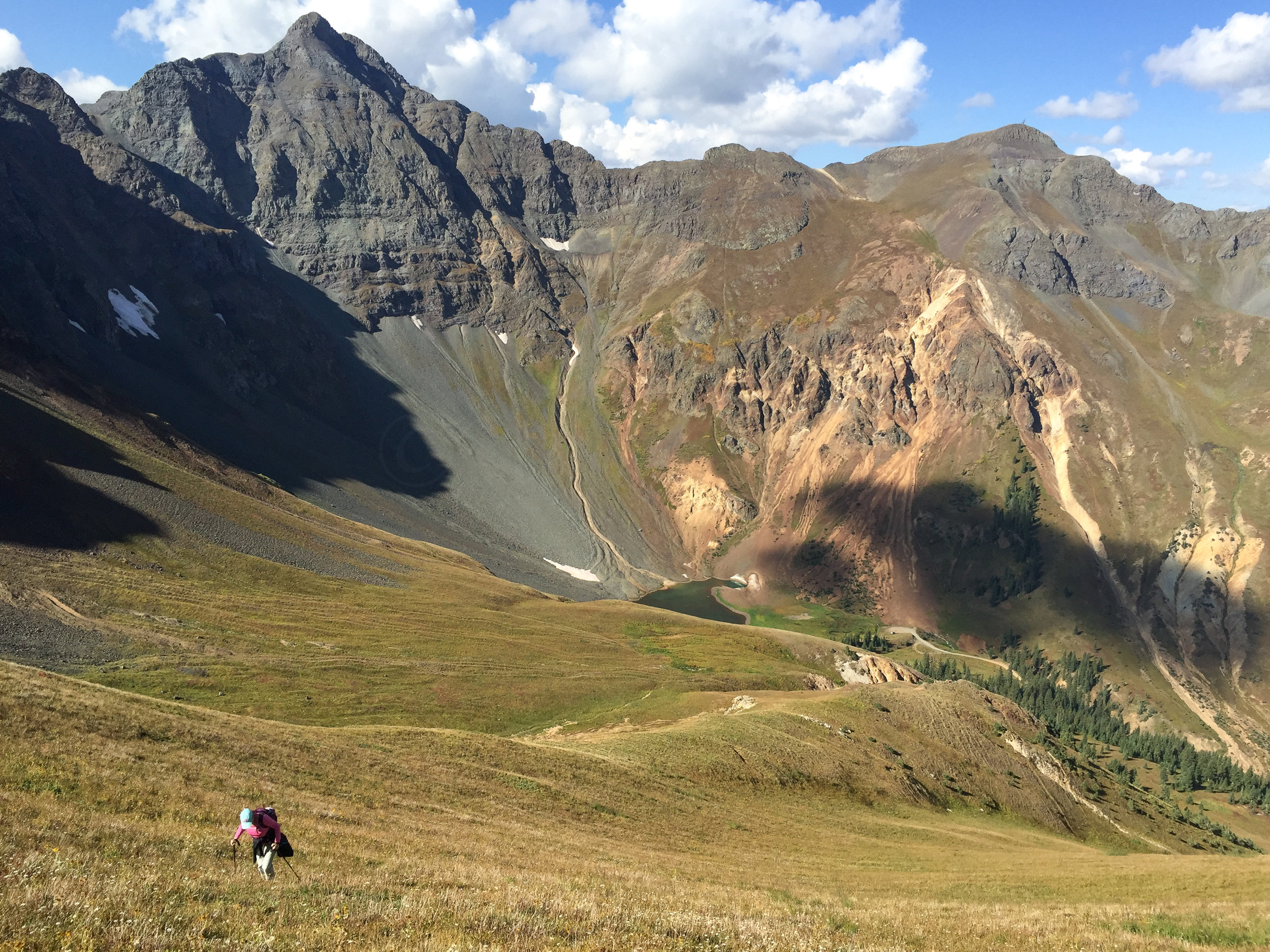
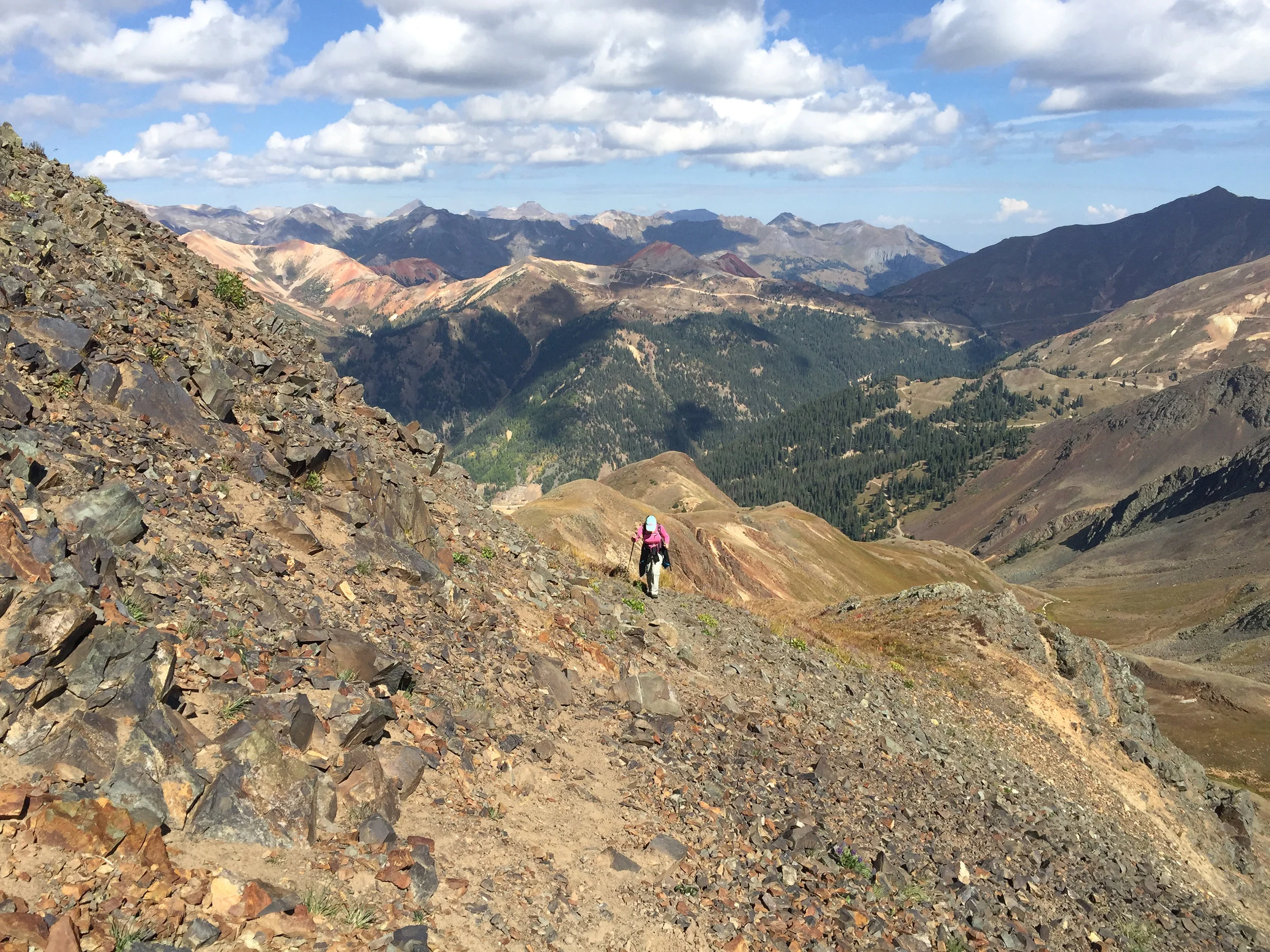
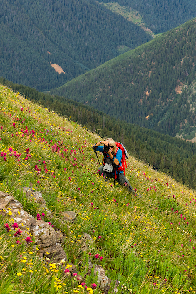
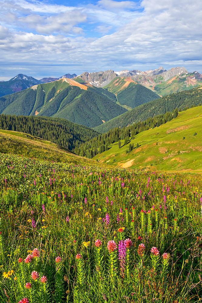
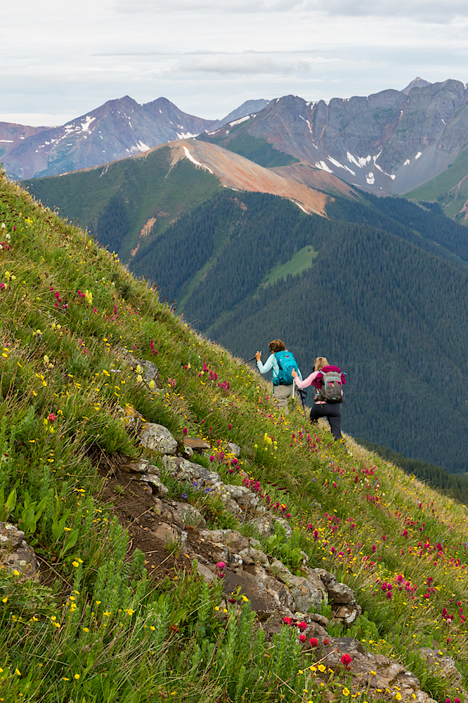
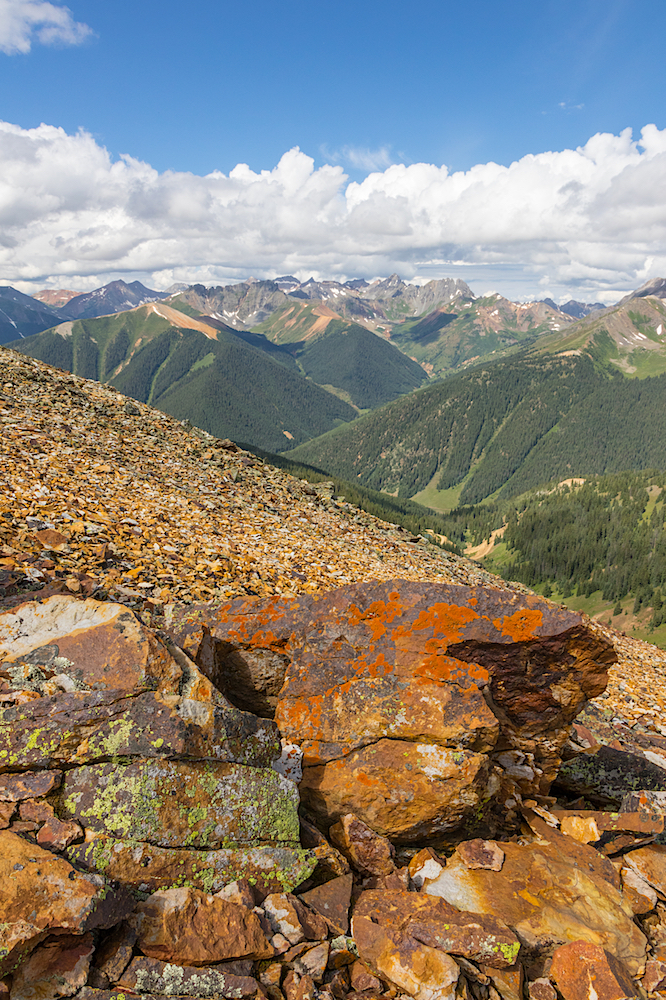
The weatherman called for sunny clear skies today so Tim & Angela Bouchard, Mary Peil and myself decide to tackle the high altitude route from Porphyry Basin to Columbine Lake. We parked at roads end and headed up to the picturesque Bullion King Lake where the continued route follows the steep scree up to the saddle on the south shore of the lake. From the saddle we could look into Silver Cloud Mine Basin as we traversed through the beautiful wildflowers long the route. From this point, there were many game trails to follow and cairns luring us to follow all of them. We stayed high and practiced our route finding skills which at times could have been better. Our final destination, Columbine Lake, was visible as we contoured along the high ridge past the rock promontory. Our sunny skies had darkened and a fine mist fell. We put on our rain gear and contemplated our plan to continue. We saw blue skies behind the dark clouds so we continued on and once again the sun was shinning. At the lake, Angela and Mary enjoyed lunch and the views form the overlook while Tim and I took some photos closer to the lake. We noticed again the skies turning grey and cloudy so the decision was made to head back toward the trailhead. Today in comparison to the Highland Mary Lakes hike, I didn't even get a break and had to eat my 1/2 of Peanut Butter and Jelly sandwich while hiking....do you see a pattern here? We could see the storm clouds and rain in the distance but they didn't head our direction. We enjoyed the wildflowers and sunshine as we arrived back at the jeep and were all happy that today we had beat mother nature and her storms.
Turquoise Blue Water of Columbine Lake


HIGHLAND MARY LAKES
Angela Bouchard lead the Moxies up the wet muddy trail to lower Highland Mary Lake. It was sunny when the group started out but the dark clouds quickly moved in. Just as I set down to overlook the lake and enjoy my 1/2 Peanut Butter and Jelly Sandwich the call was made to head down before the storm. Dang, I never get to enjoy my lunch! It's a good thing I only pack a 1/2 of sandwich. The rain caught us about half way down the trail and from that point on the trail was slick and muddier than earlier. Of course, it wasn't raining as hard when we reached the vehicles. It was a short hike but fun to see everyone and get out for at least a few hours.
PARADISE BASIN
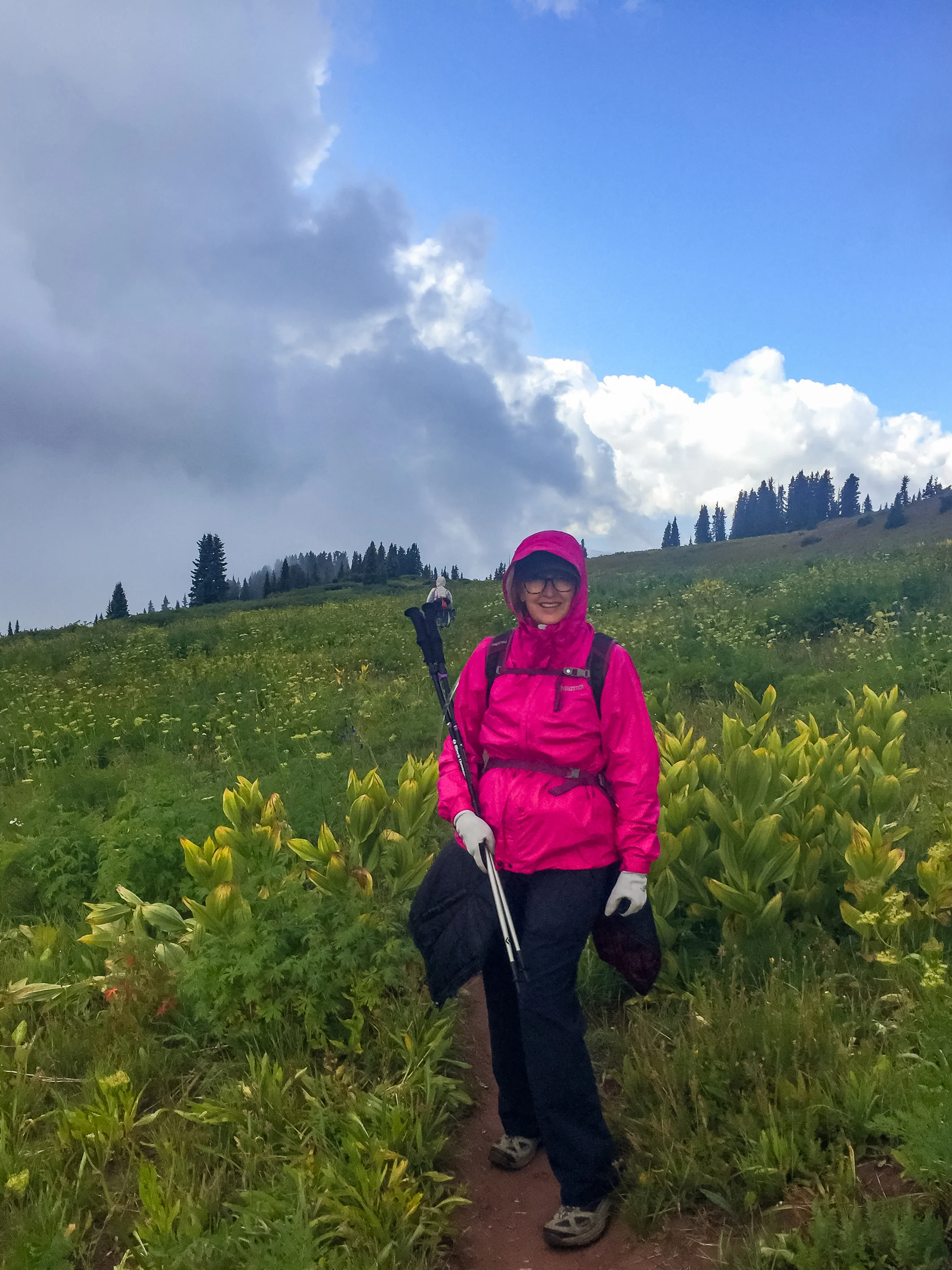
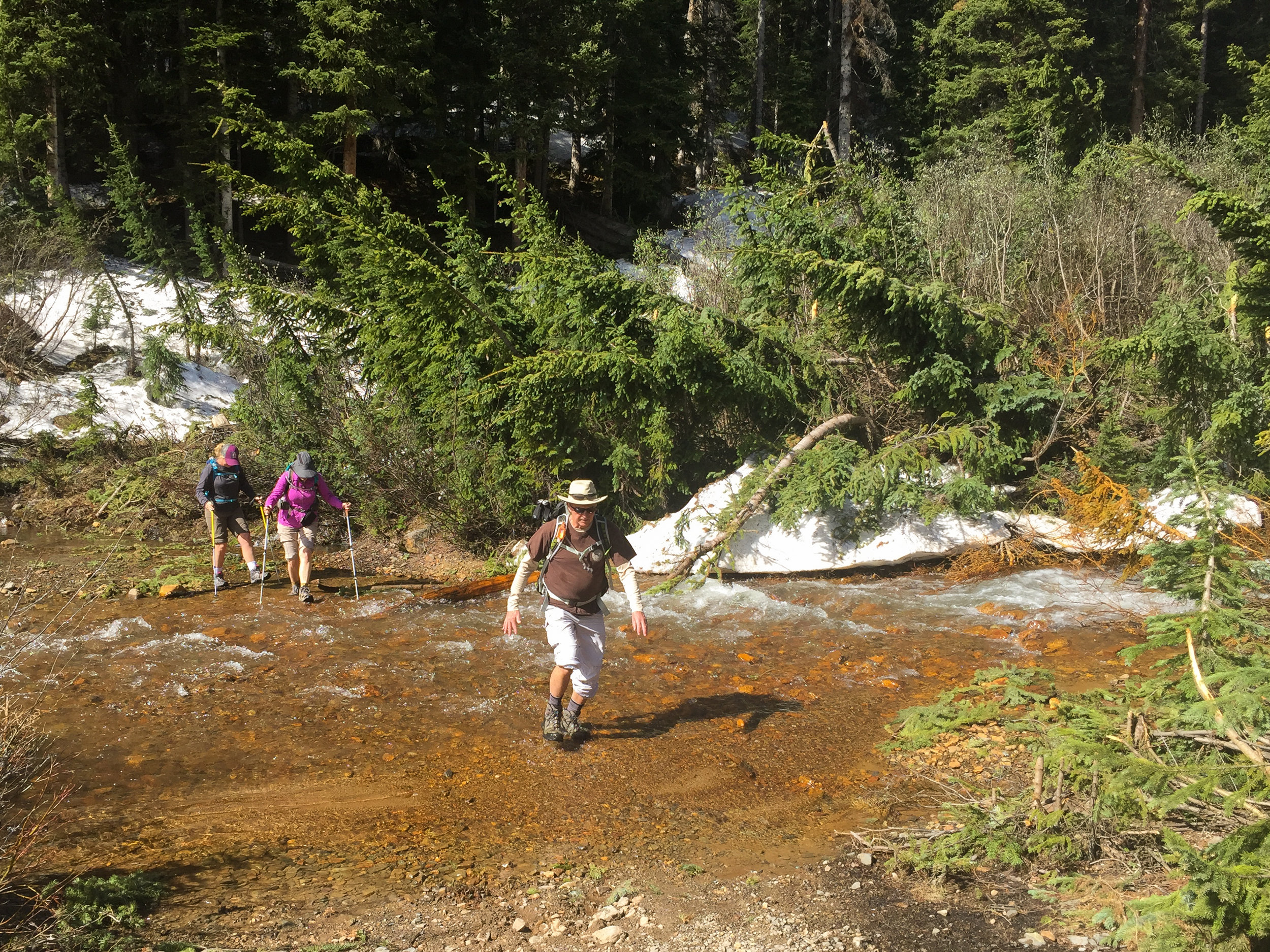
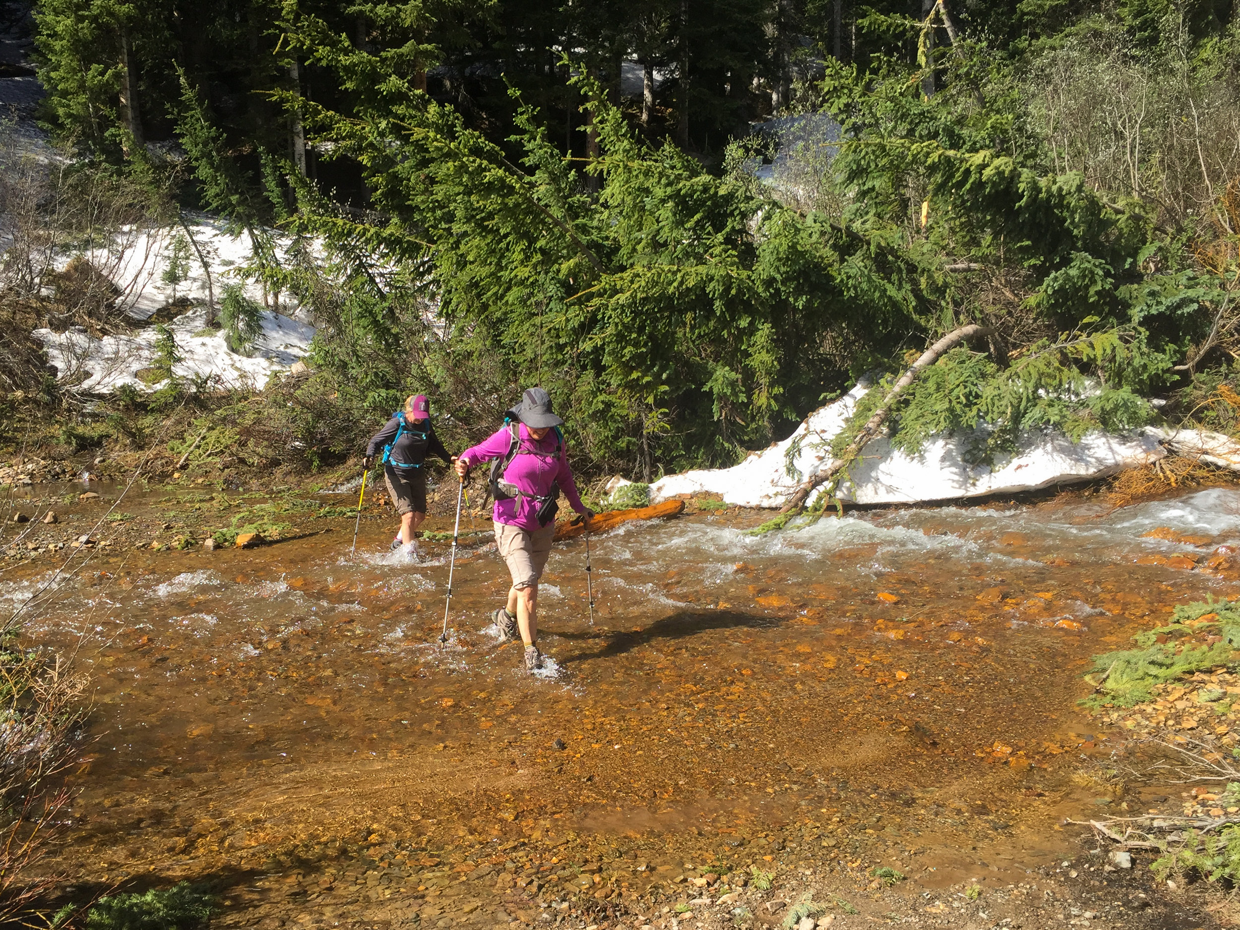
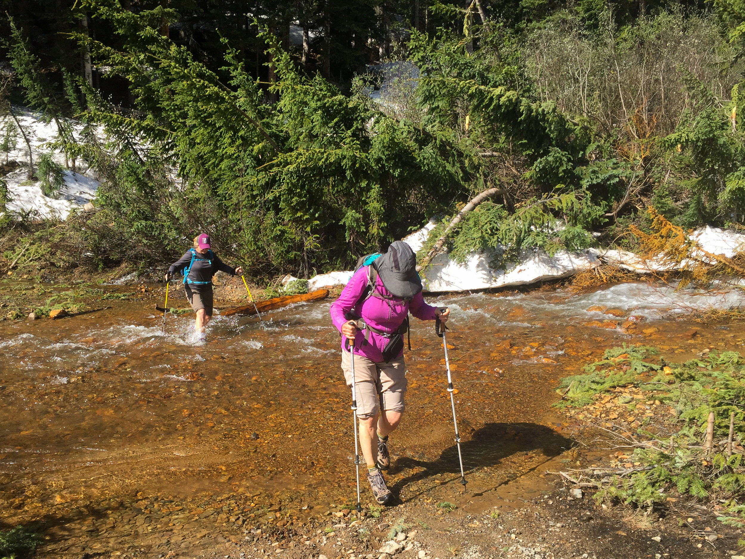
Mary Ann Nelson led the Moxies over the river and through the woods to beautiful Paradise Basin. The weather forecast called for 80% rain so the intended hike to Columbine Lake was rescheduled. It was lightly sprinkling when we arrived at the trailhead but it stopped within a few minutes. As the Moxies hiked or should say scouted along the animal tracks searching for the "real" trail, we had to be careful with our footing to avoid slipping on the wet willow branches and grass. We did stop a few times to enjoy the view of the fog rising up through the valley. Paradise Basin is typically a 2.76 mile round trip hike but today our fearless leader decided to take us on the scenic route which added another half mile or more. Hum...was this a route finding error or was it done purposefully to make sure we all got our 10,000 steps? This short hike which involved a steep final ascent to the overlook above the lake allowed us to enjoy the picturesque Paradise basin and its wildflowers. But... shortly after arriving the dark clouds appeared to be building so we stuffed our half eaten lunches back in our packs and started our descent while utilizing our route finding skills to find our way back down to the Trailhead. We did find the cairns and the intended "real" trail on the way back. The sun was out and the dark clouds had moved on by the time we reached the cars so the group decided to walk over to Opus Hut before heading back down Ophir Road. By the time we drove through Silverton the sky was mostly sunny and the forecast for rain had decreased to less than 15%. We hung our heads knowing we had missed an opportune day to hike to Columbine lake. Nevertheless, we did get to enjoy an exploratory "on" and "off" trail adventure that no one will soon forget. Thanks Mary Ann for a great day.


OHIO PEAK
The 2 mile round-trip cross country route gaining 738' to reach Ohio Peak at 12,674' provides stunning panoramic views of the San Juan Mountains and surrounding ridge-lines. It is a moderate hike that is short and sweet unless you go around the ridge instead of climbing up the big gully. Penny, Toby and I enjoyed the leisurely trek and the amazing summit views. But our other little Moxies: Candy, Mary Ann and Jane M encountered horrid conditions including step scree and quick-sand. The weather was good but the afternoon clouds started to build about the time that Candy was chin deep and sinking in quick sand. Candy calls for help but Jane Marie tells Candy to "hurry up, the clouds are building and we're going to get struck by lightening". And the rest is left to your imagination. It was a great day in the mountains and hope to see you all soon.
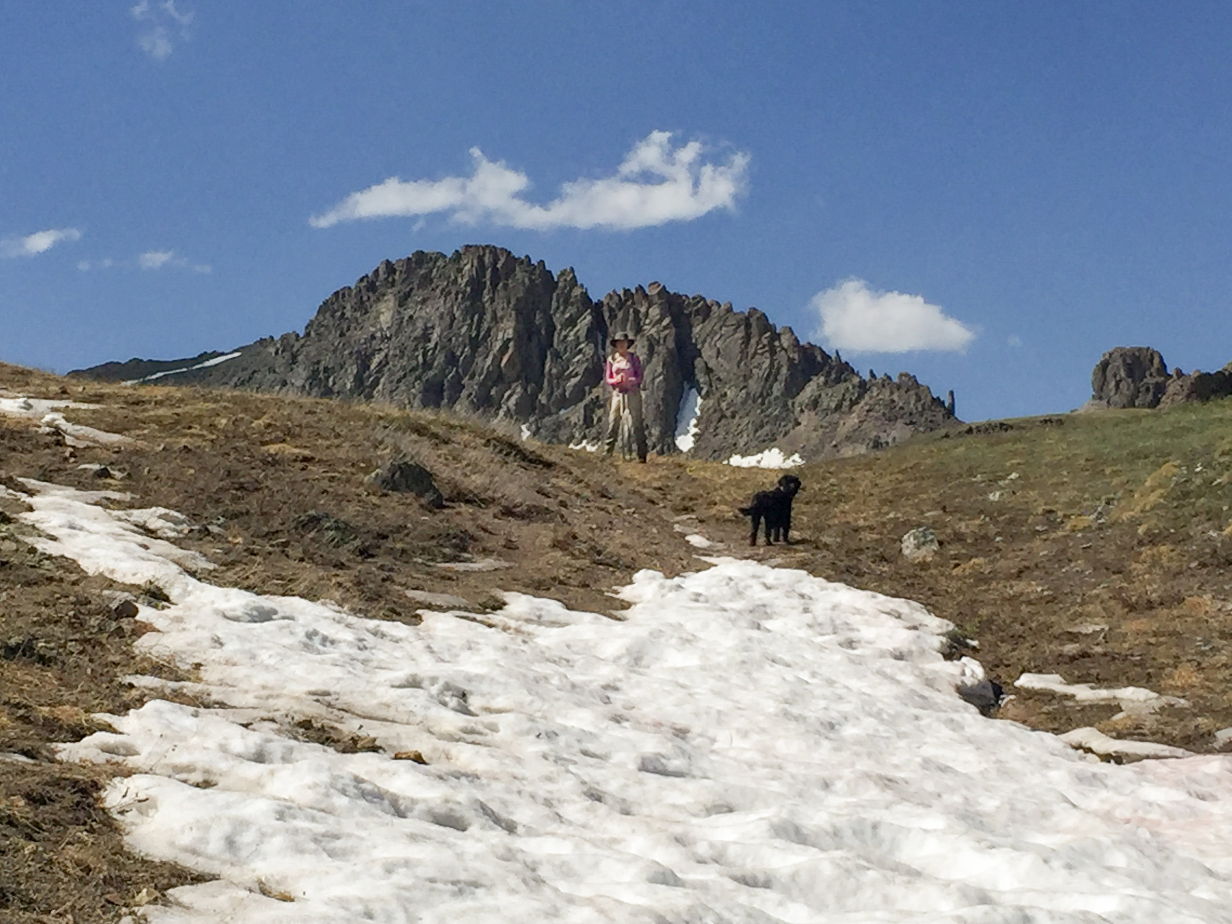
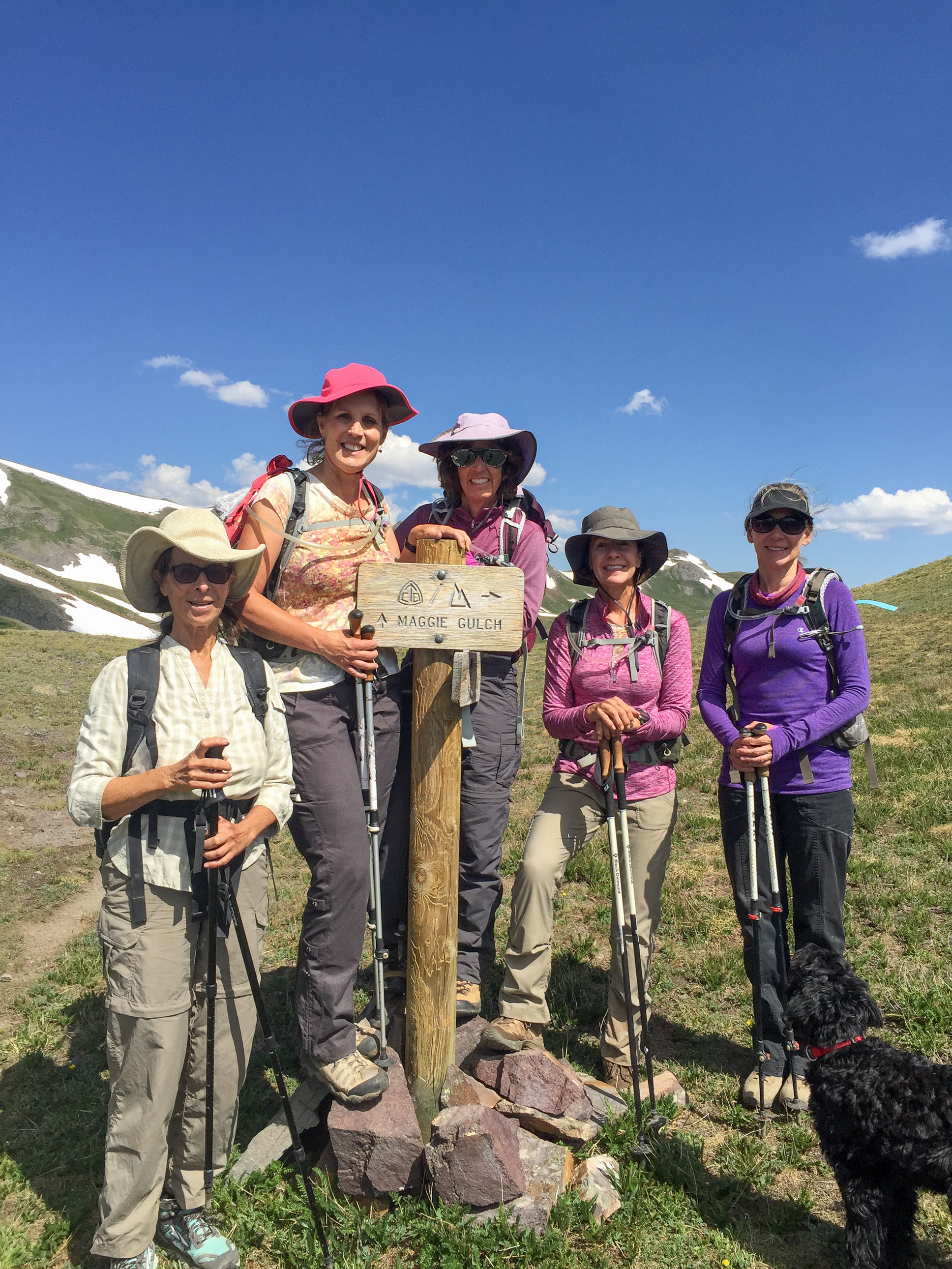
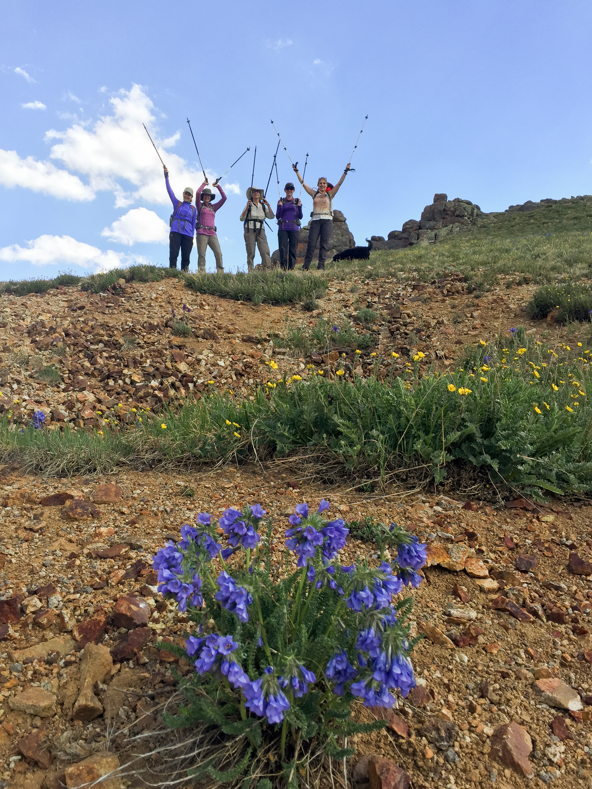
RETURN TO MAGGIE GULCH
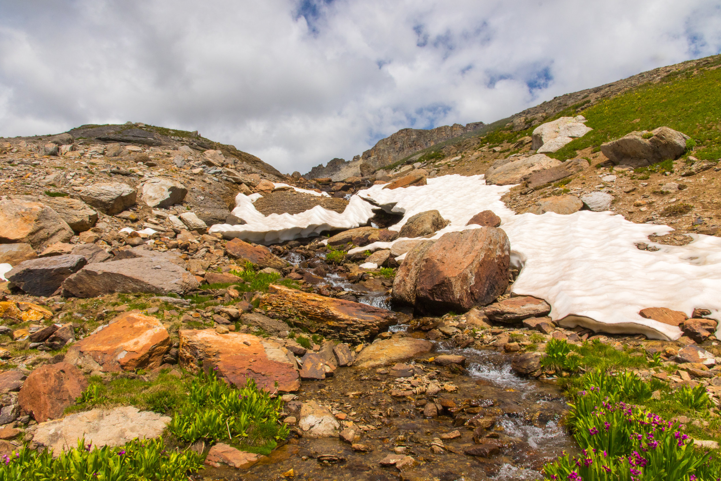
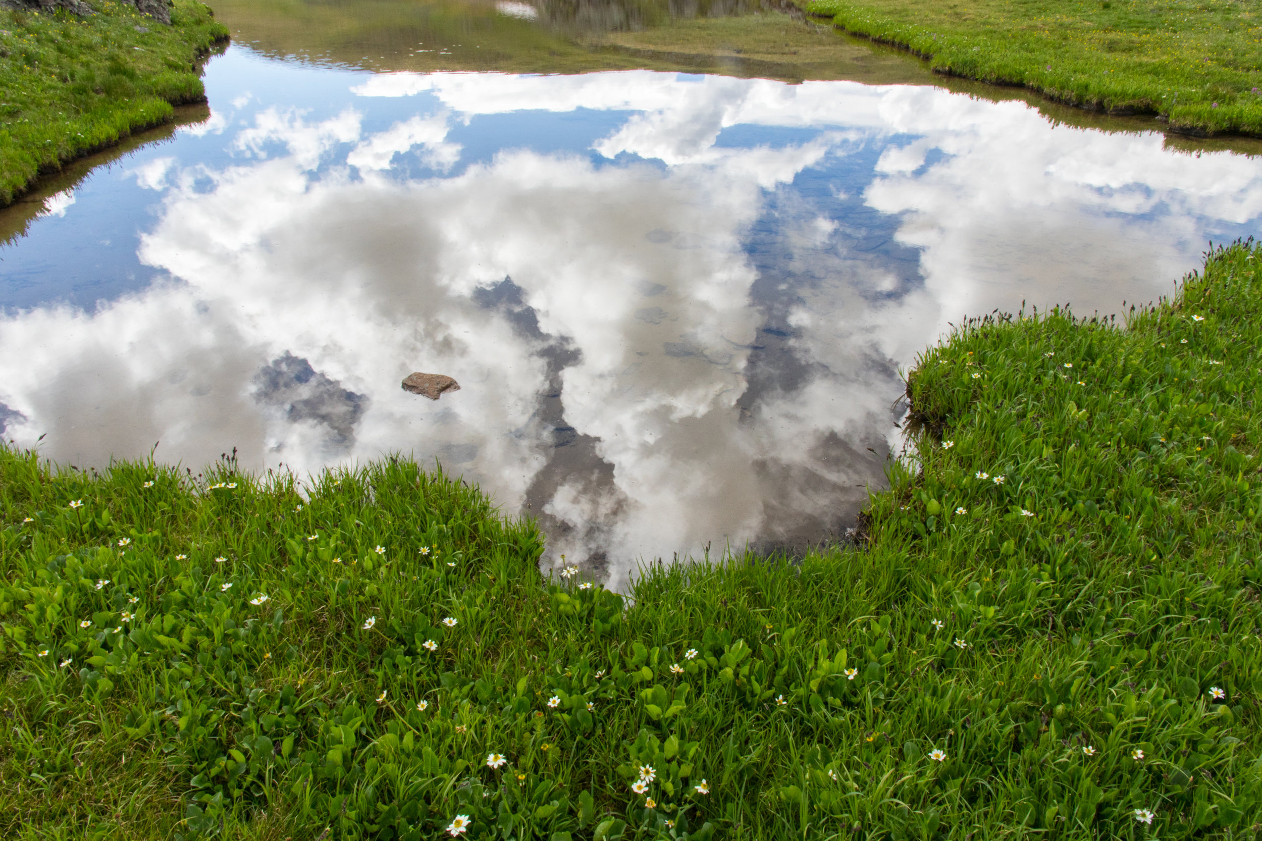
Today Tim, Angela, Gina, Laurie and I decided to make a return visit to Maggie Gulch to hike the 3.5 mile loop trail that connects with the Continental Divide trail and view the wildflowers, Afternoon storms were in the forecast so we knew our time on the trail would be limited. The Larkspur are particularly beautiful in this gulch as are the pink paintbrush and bluebells. Most of the snow had melted since our last visit on July 5th and wildflowers lined the upper ridges of the continental divide. As the afternoon clouds moved in their reflections in the small trailside ponds were interesting. It was a fun morning and great to get in such beautiful scenery in such a short hike.


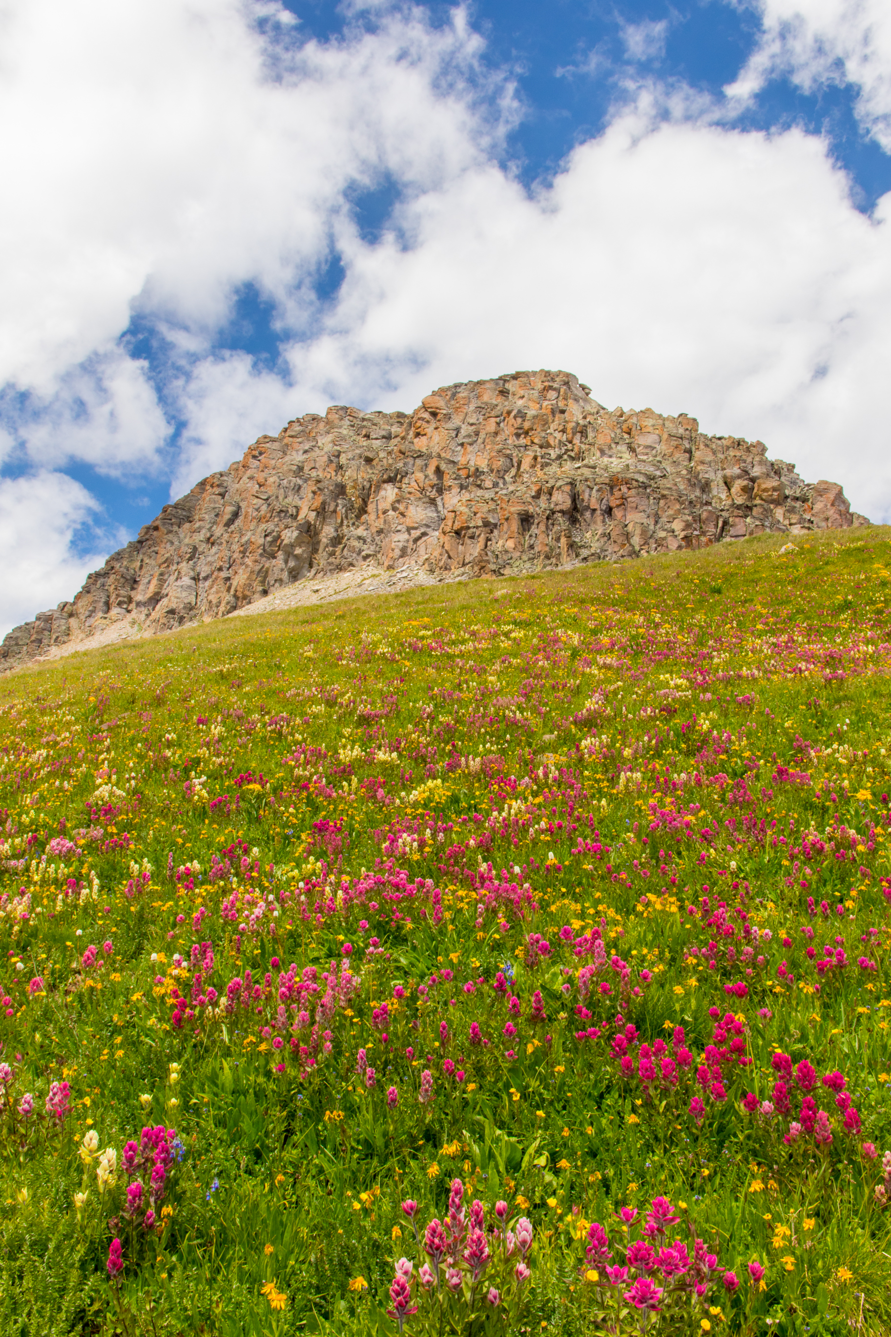
SUGARLOAF
The hike to Sugarloaf Peak 12,754' involves a steep 5.8 mile round trip trek on intermittent and cross-country trails and involves a gain in elevation of approximately 2316'. The trail starts up a flower filled basin, crosses an expansive meadow and waterfall before reaching the saddle and rocky ledge to the peak. The summit views include the Grenadiers, Highland Mary Lakes and more..


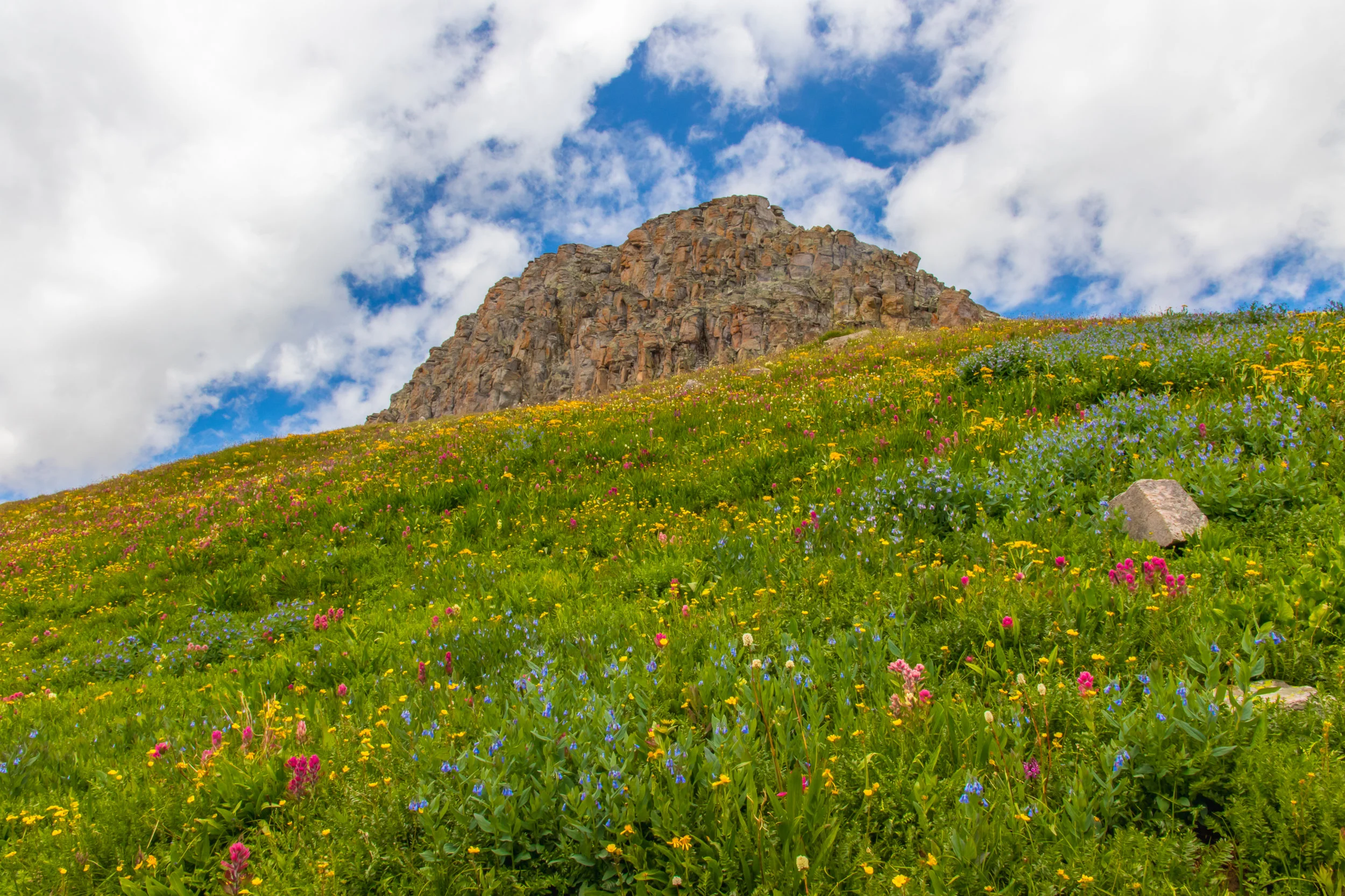
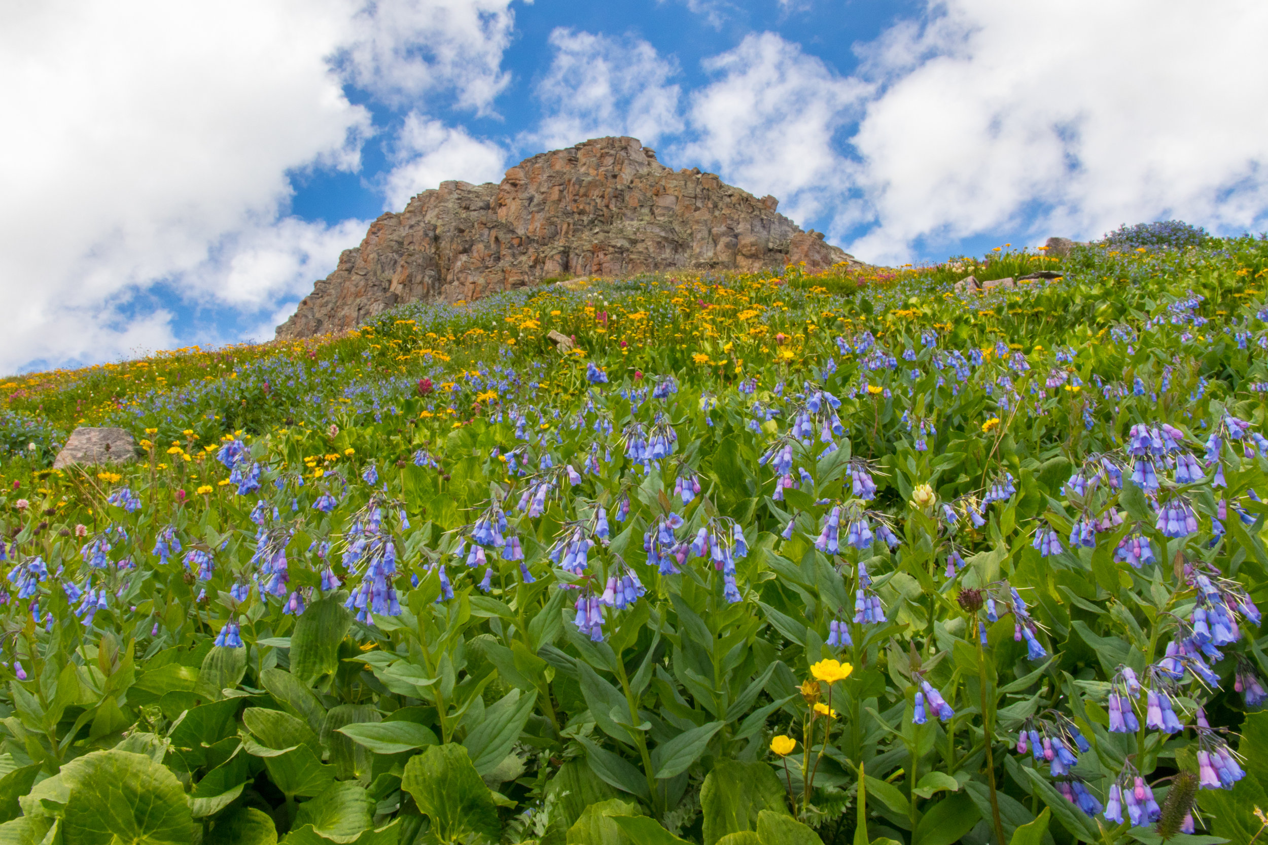
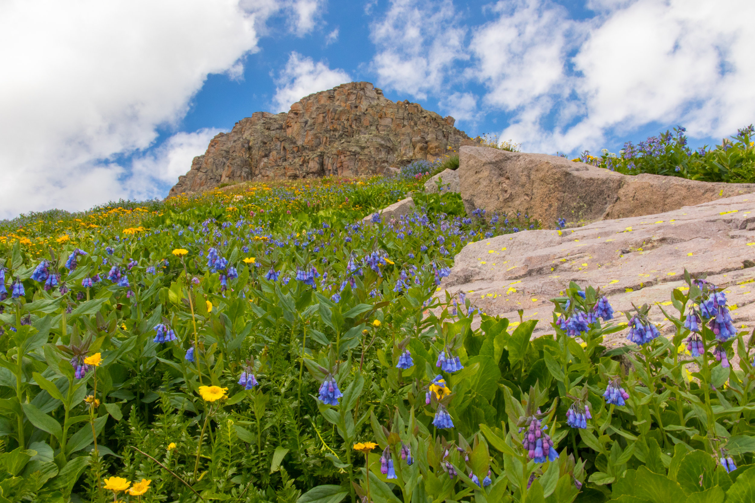
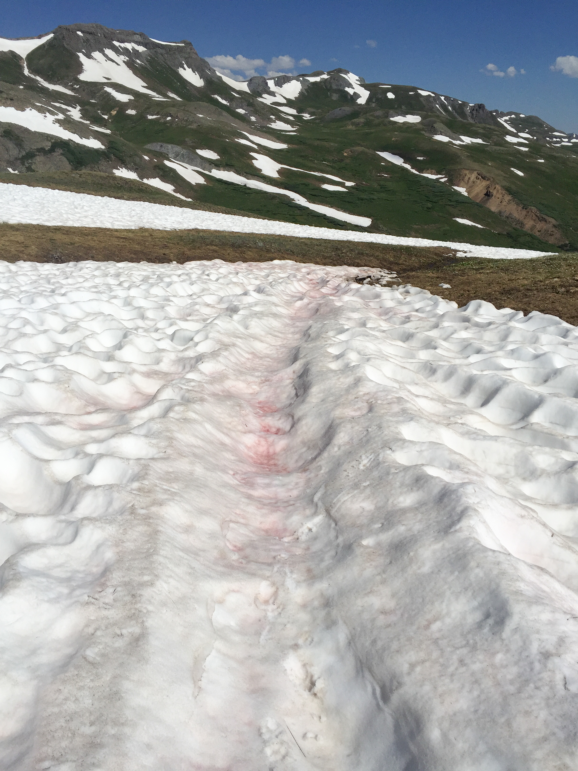
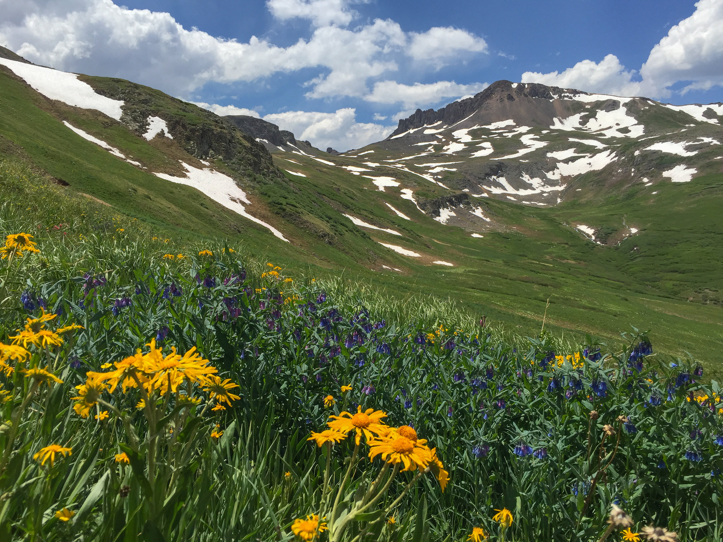
MAGGIE GULCH TO CONTINENTAL DIVIDE LOOP
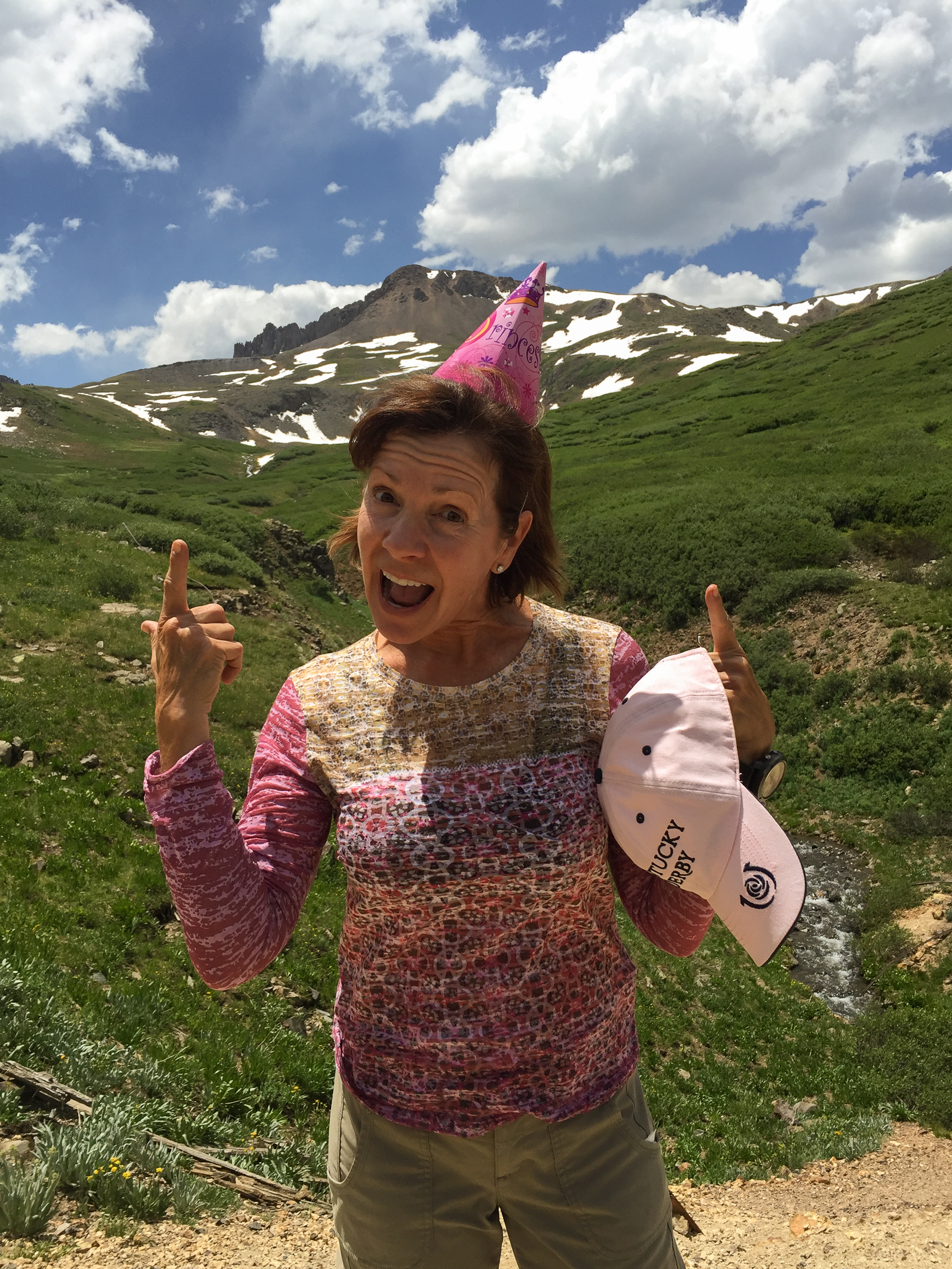
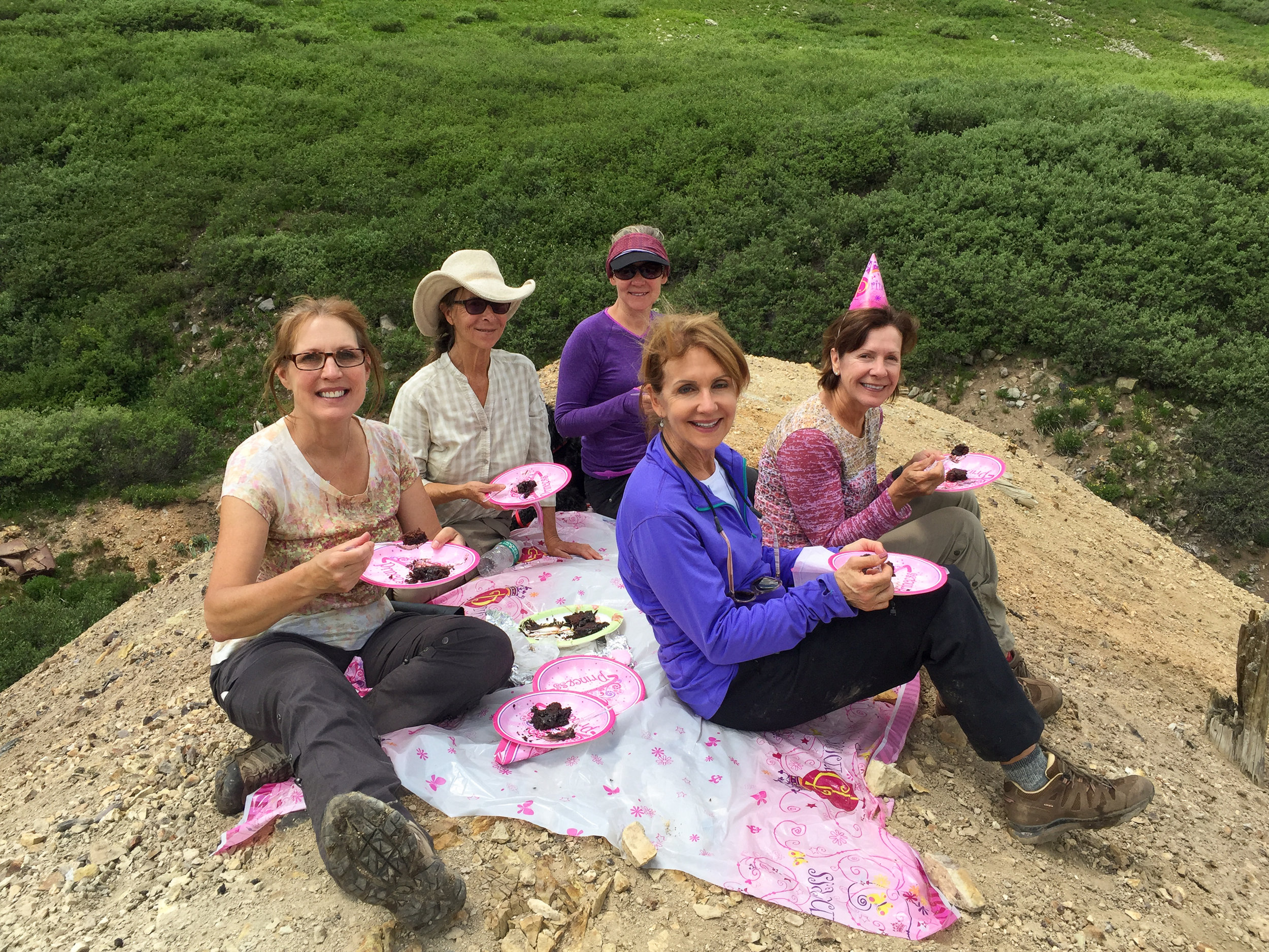
Today the Moxies hiked the moderately strenuous Maggie gulch to Continental Divide Loop. This 3.5 mile loop hike starts up a steep grassy slope that is full of wildflowers and climbs from the trailhead at 11,850' to a high point of 12,822' gaining 1,145'. This portion of the Continental Divide trail is very scenic and follows a ridge line near Canby Mountain to West Pole Creek. Snow remains on portions of the trail and the wildflowers are just starting to show their color. Today was a very special day as it is Angela Bouchard's Birthday. After our hike we celebrated and ate cake at the trailhead. Although none of us wanted to eat the calories we decided: The more you weigh, the harder you are to kidnap so to stay safe we eat cake... Great excuse don't you think?
US BASIN TO MCMILLAN PEAK LOOP
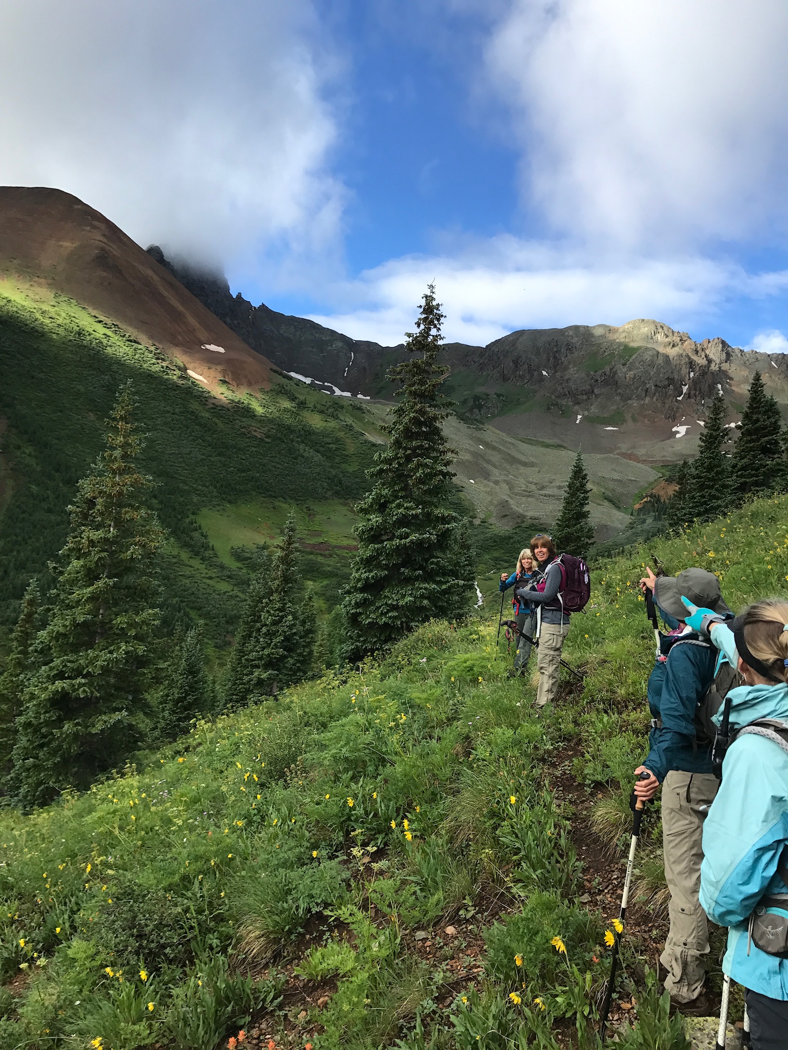
Jane Marie Johnson led the cross country loop trek across the alpine tundra up to McMillan Peak at an elevation of 12,804'. The loop was approximately 5.2 miles and 1600' of elevation gain. It was a beautiful day to be hiking in the San Juan Mountains. The Sun was shining, the flowers were blooming, the ice fields still melting and the 360 degree views didn't disappoint. In the morning, we had the added display of the dancing clouds that put on a show of their own.